3.1Km
3.1Km


Avvicinamento
 50m
50m
50m
3.3Km
3.3Km
3.3Km
3.3Km
3.3Km
50m
50m
50m
3.3Km
3.3Km
3.3Km
3.3Km
3.3Km
3.1Km
3.6Km
4.1Km
4.6Km
5.2Km
5.2Km
6.1Km
6.8Km
6.8Km
7.3Km
.
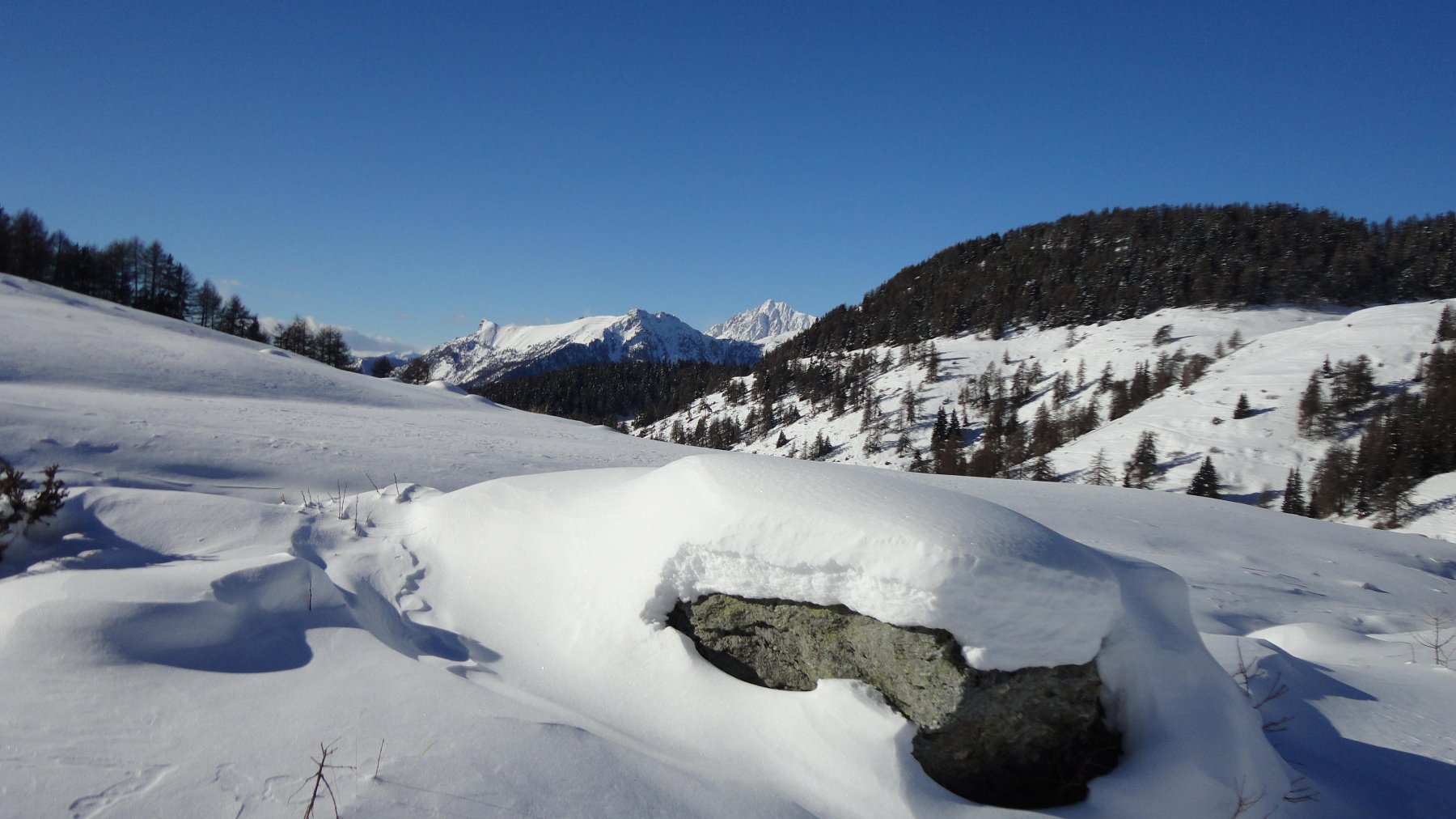
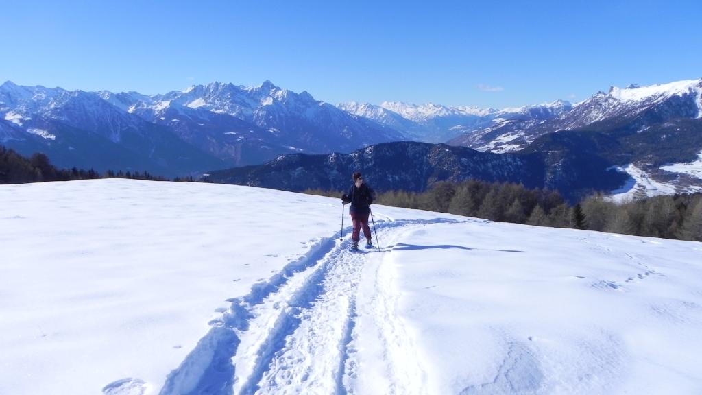
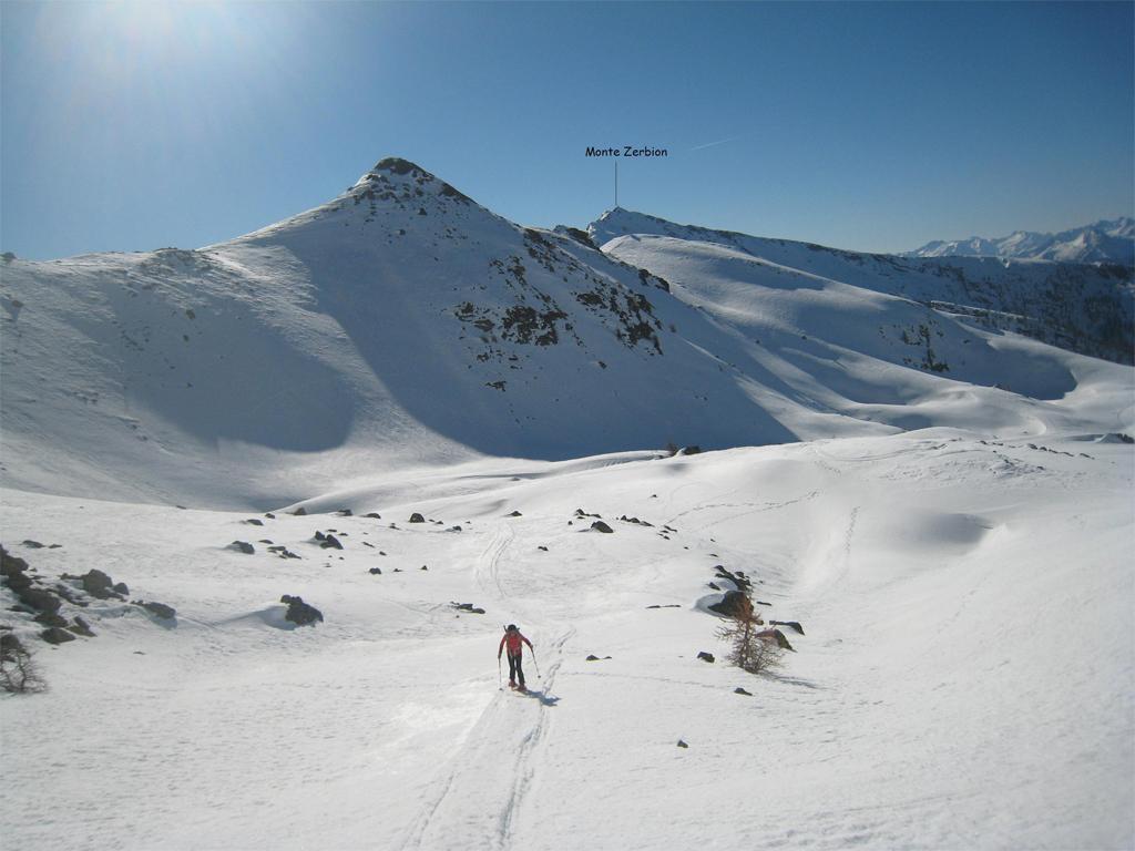
Descrizione
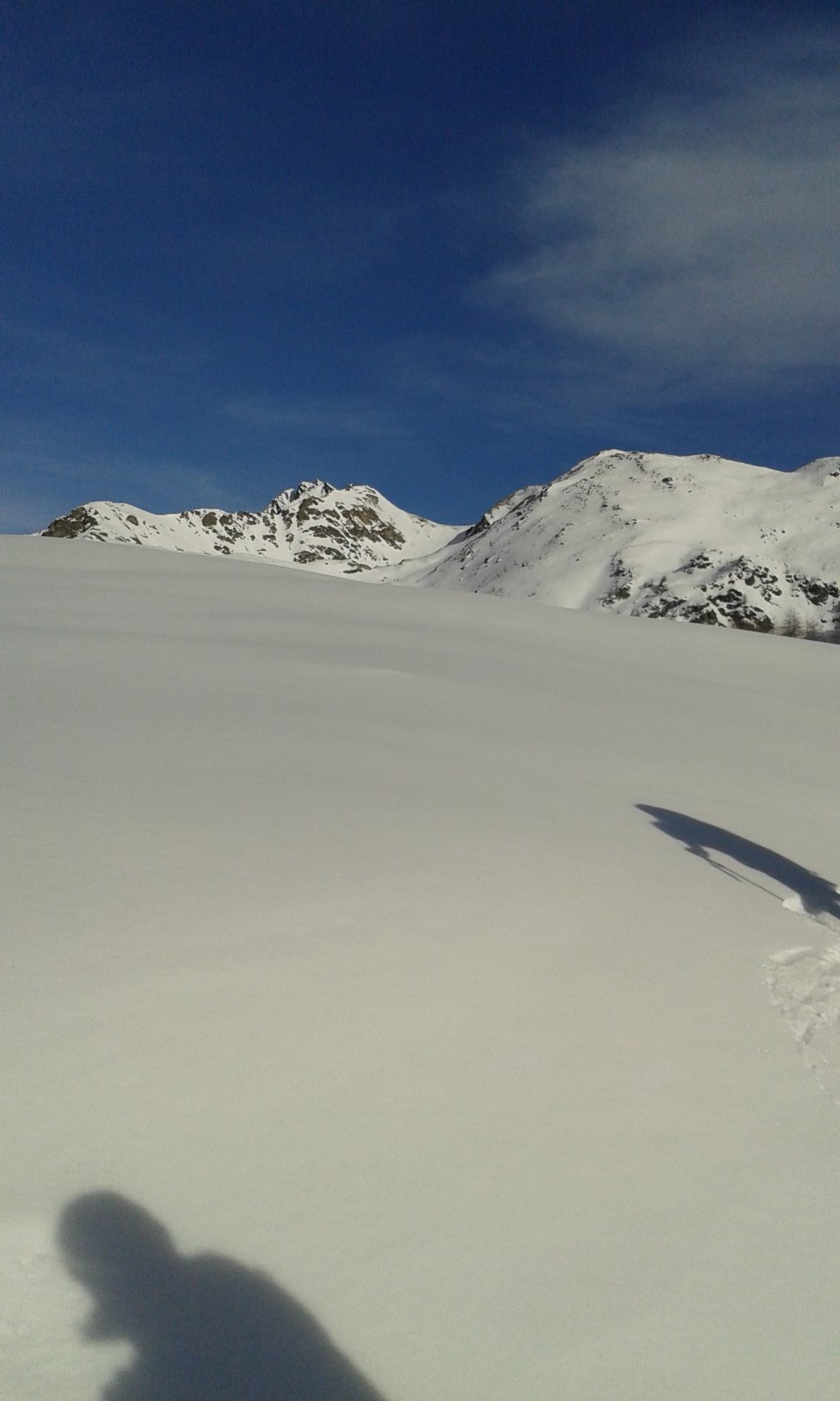
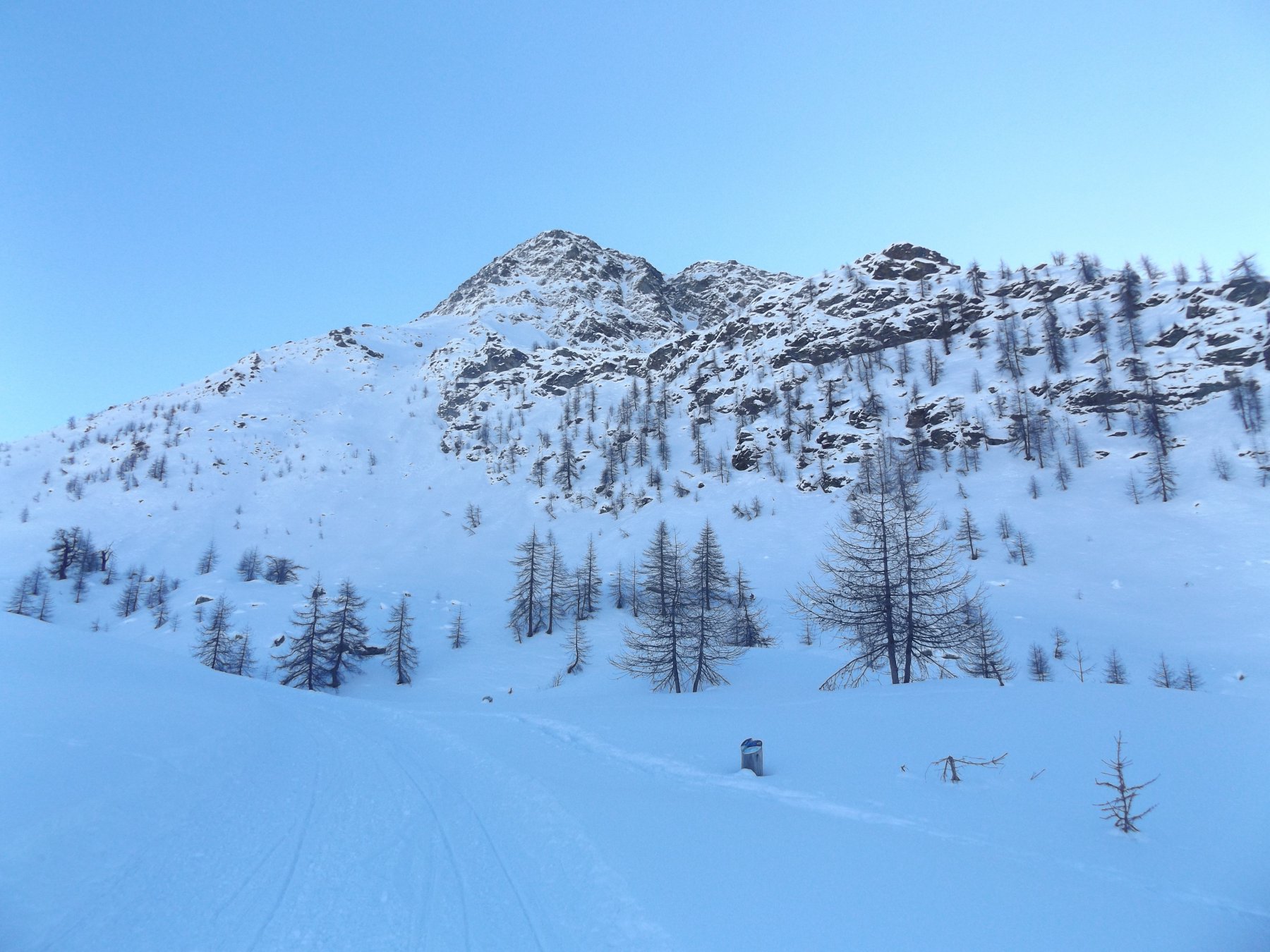
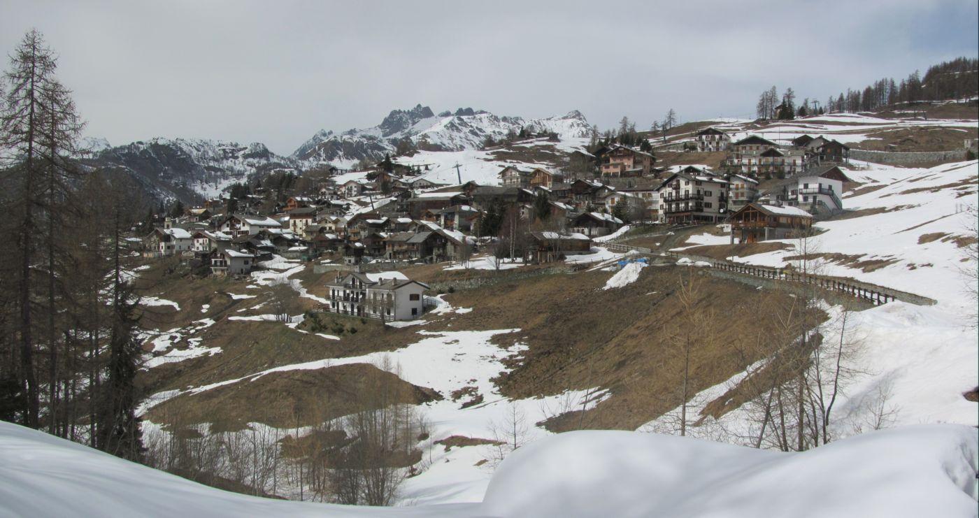
Da Promiod ,seguire il sentiero 105 (lo stesso dello Zerbion).Dopo circa mezz’ora lasciare sulla sinistra la deviazione del sentiero 6 .
Proseguire fino agli alpeggi Francou Desot, continuare e lasciare sulla destra la deviazione per la dorsale per lo Zerbion.
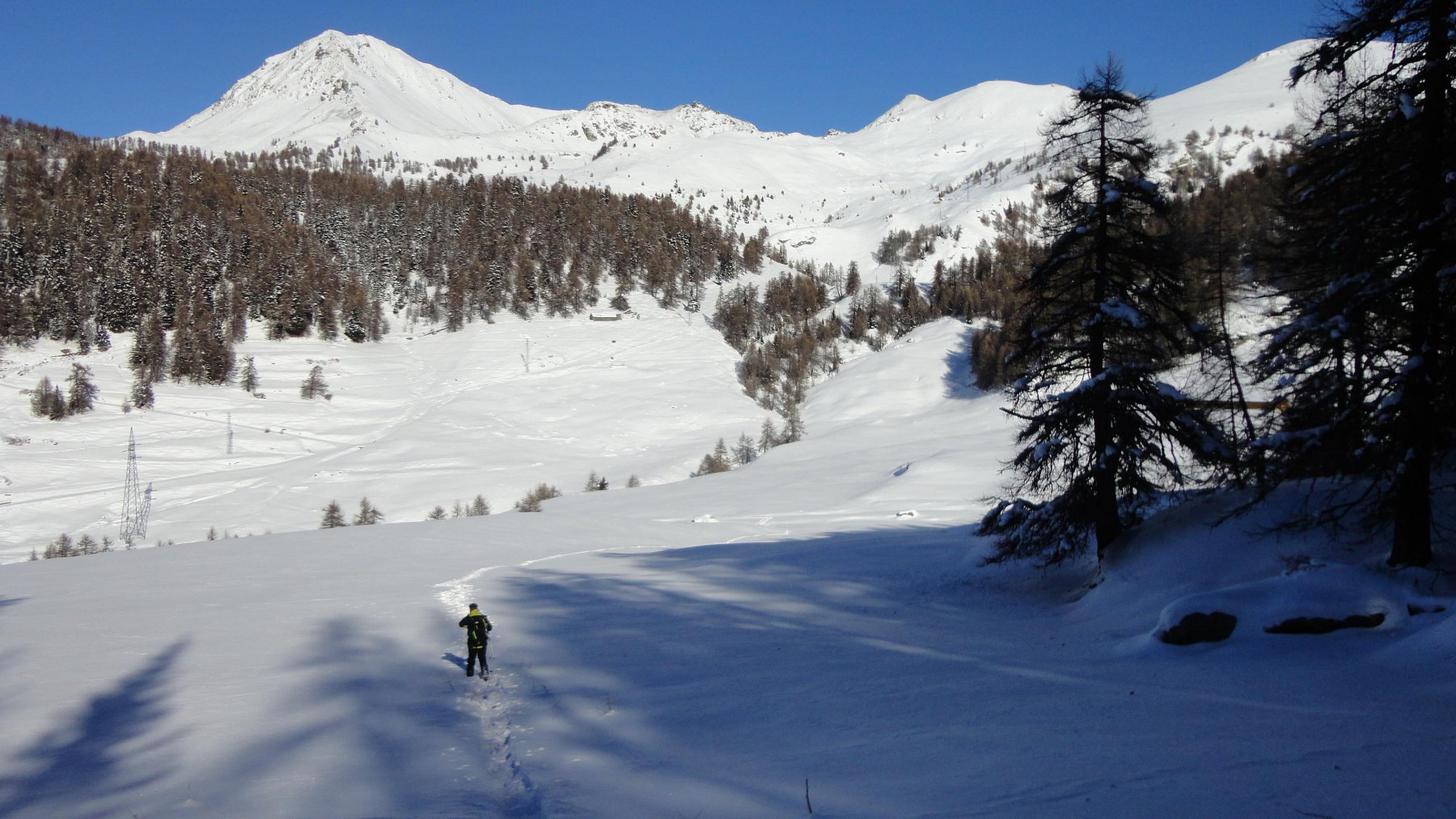
Continuare in leggera discesa in mezzo a un bel bosco ,poi seguire le tracce sino all’alpeggio di Champ.
Prendere a sinistra il sentiero fino a raggiungere la strada poderale,con una lunga diagonale in discesa ,raggiungere il bivio( sentieri 105-6) tralasciato in precedenza.
Da qui in breve a Promiod
- Bibliografia:
- Tracce Lievi di M.Martini
Nelle vicinanze Mappa
Itinerari
15/02/2020 AO, Chatillon D+ 985 m BR Nord-Ovest
Portola (Col) quota 2475 m e Col Bière da Promiod
50m
29/12/2012 AO, La Magdeleine D+ 967 m MR Nord
Biere (Col di) da Promiod
 50m
50m
25/04/2025 AO, Châtillon D+ 1220 m BR Nord-Ovest
Zerbion (Monte) da Promiod per la cresta Ovest
 50m
50m
18/03/2007 AO, Châtillon D+ 1230 m BRA, F Tutte
Zerbion (Monte) da Promiod, traversata a Lignod
50m
01/03/2012 AO, Châtillon D+ 1260 m BR Sud
Tantanè (Monte) da Promiod
 50m
50m
09/03/2026 AO, La Magdeleine D+ 1000 m BR Varie
Champlong (Lago di) da Artaz, anello per Chamois
 3.3Km
3.3Km
10/04/2019 AO, La Magdeleine D+ 987 m BR Sud-Ovest
Pillonet (Col) da Artaz
 3.3Km
3.3Km
24/02/2024 AO, La Magdeleine D+ 600 m MR Varie
Champlong (Lago di) da La Magdeleine
 3.3Km
3.3Km
04/02/2025 AO, La Magdeleine D+ 281 m MR Sud-Ovest
Pilaz (Col) da la Magdeleine
 3.3Km
3.3Km
29/01/2025 AO, La Magdeleine D+ 300 m MR Nord-Ovest
Lod (Lago di) e Chamois da Artaz, anello per Crepin
 3.3Km
3.3Km
Servizi
3.1Km
3.6Km
Lavesè Ristorante
Saint-denis
4.1Km
Boule de neige B&B
Antey Saint Andrè
4.6Km
Jour et Nuit Ristorante
Torgnon
5.2Km
Maison de Suis B&B
Chamois
5.2Km
Pession Ristorante
Antey-Saint-André
6.1Km
Bellevue Rifugio
Chamois
6.8Km
da Bruna Ristorante
Chamois
6.8Km
dei Cacciatori Ristorante
Chatillon
7.3Km