200m
200m

Note
 50m
50m
50m
50m
50m
50m
1.2Km
1.2Km
1.2Km
1.2Km
50m
50m
50m
50m
50m
50m
1.2Km
1.2Km
1.2Km
1.2Km
200m
1.5Km
1.9Km
2Km
2Km
4.9Km
4.9Km
4.9Km
5Km
6.6Km
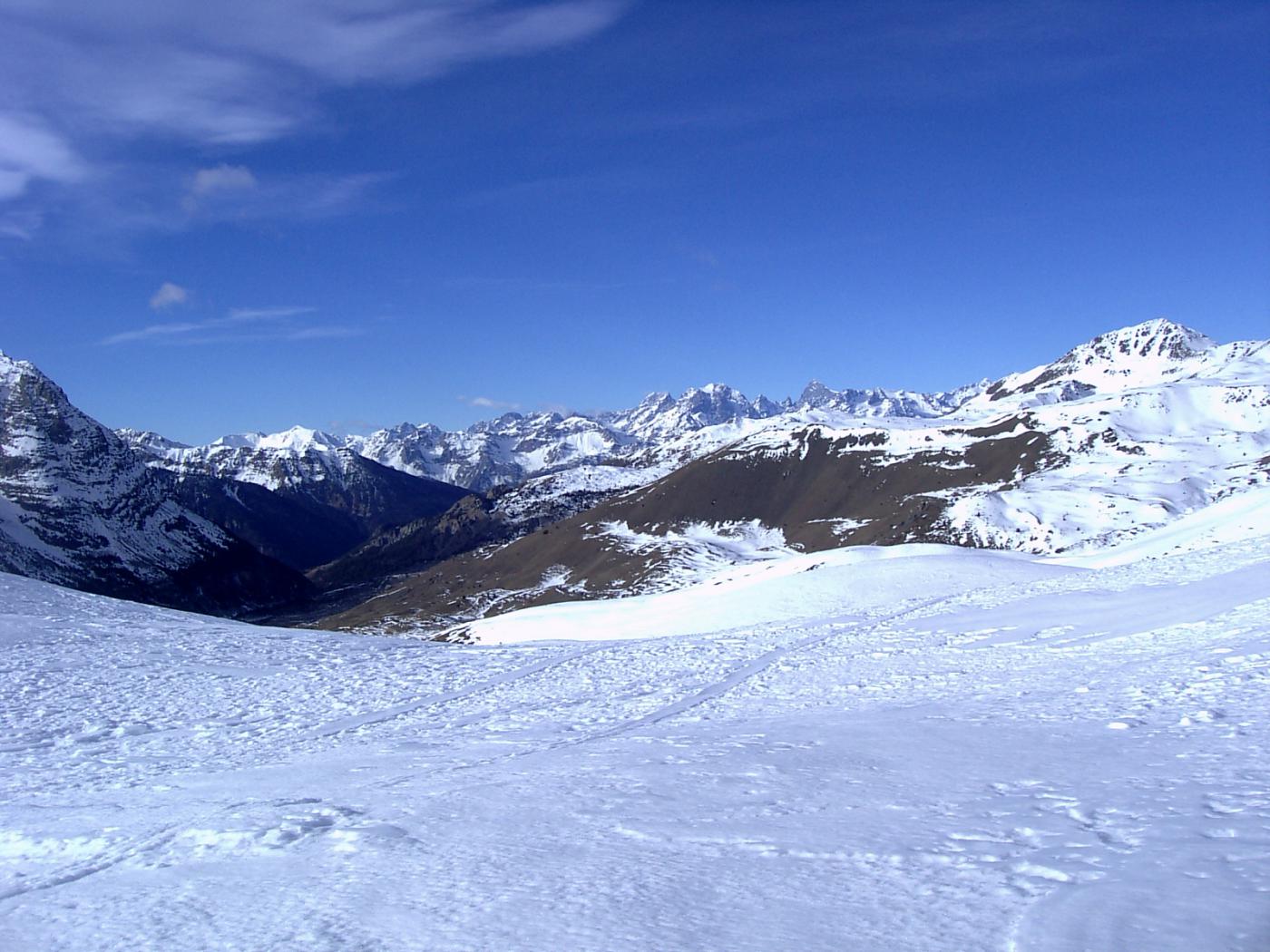
Salita meno frequentata per raggiungere la cima Fournier, alternativa alla classica da Bousson per il Lago Nero. Volendo è possibile compiere il percorso ad anello partendo da Bousson. A dispetto del dislivello contenuto, lo sviluppo del percorso è abbastanza considerevole.
Avvicinamento
Risalita la Valle di Susa, si giunge a Cesana si prosegue per Sauze di Cesana, fino a Bousson. Superato l'abitato nei pressi degli edifici militari si stacca a destra una strada asfaltata che conduce in 3 km a Thures (poco parcheggio lungo la strada).a Fine stagione è possibile raggiungere in auto la borgata di Rhuilles, circa 2 km oltre Thures su strada sterrata in buone condizioni.
Descrizione
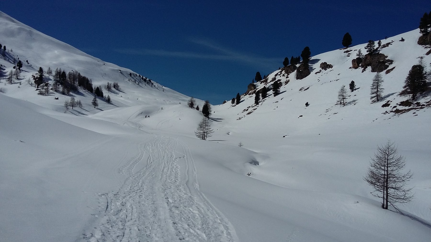
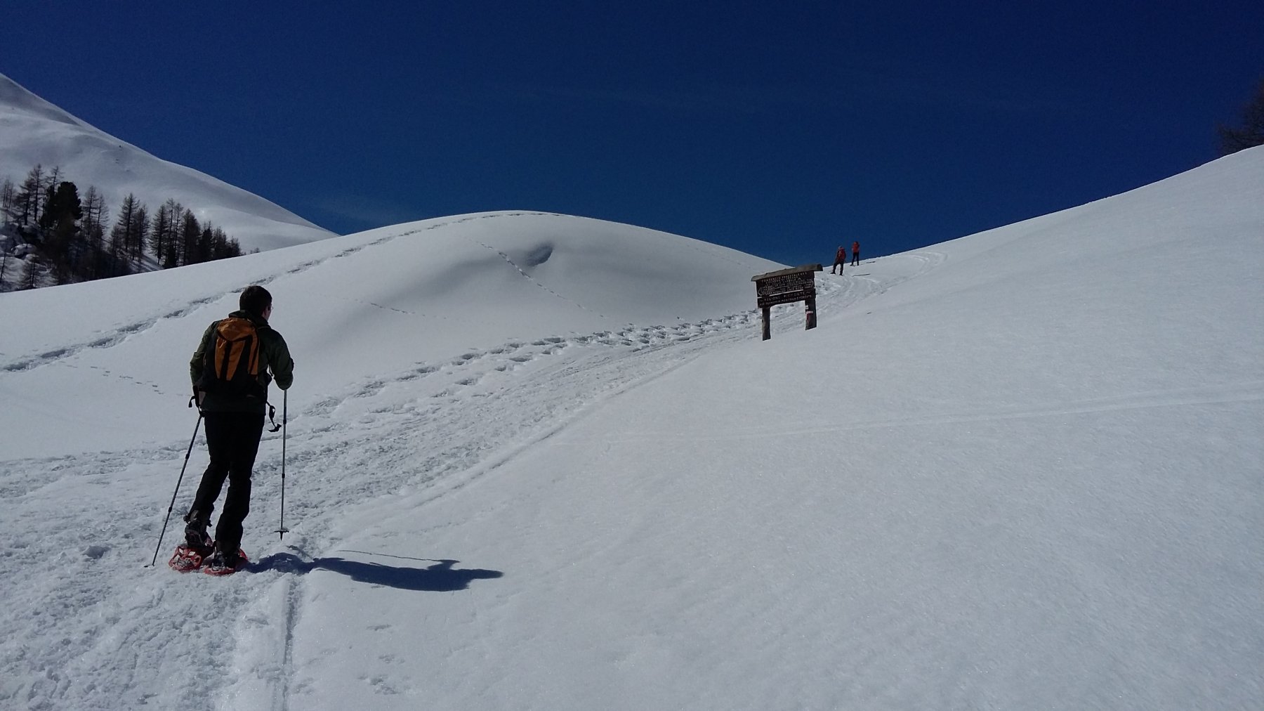
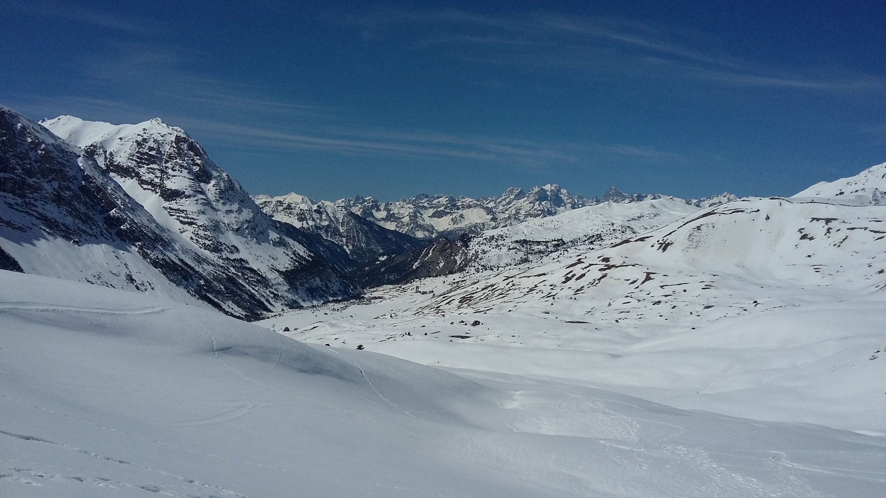
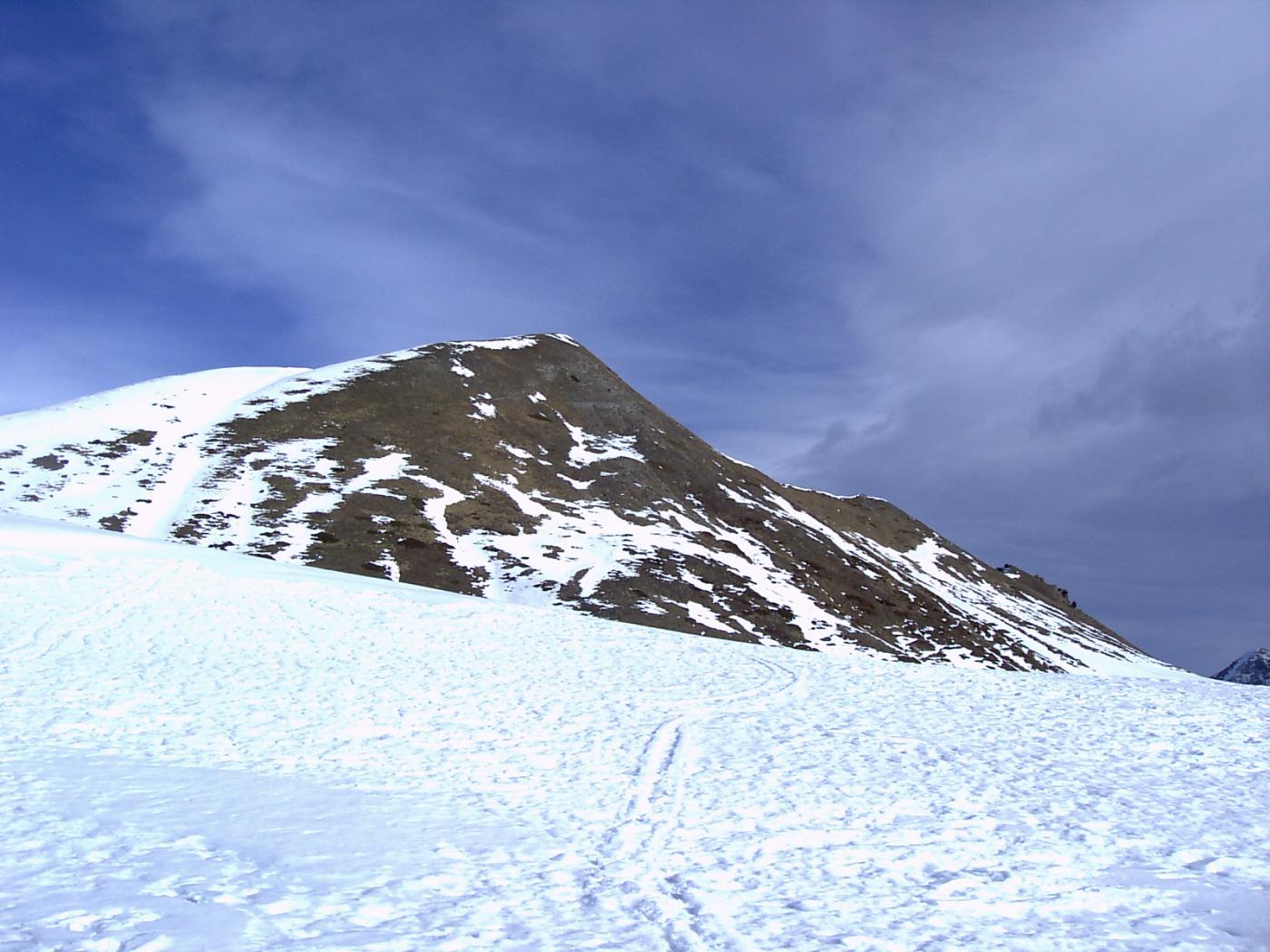
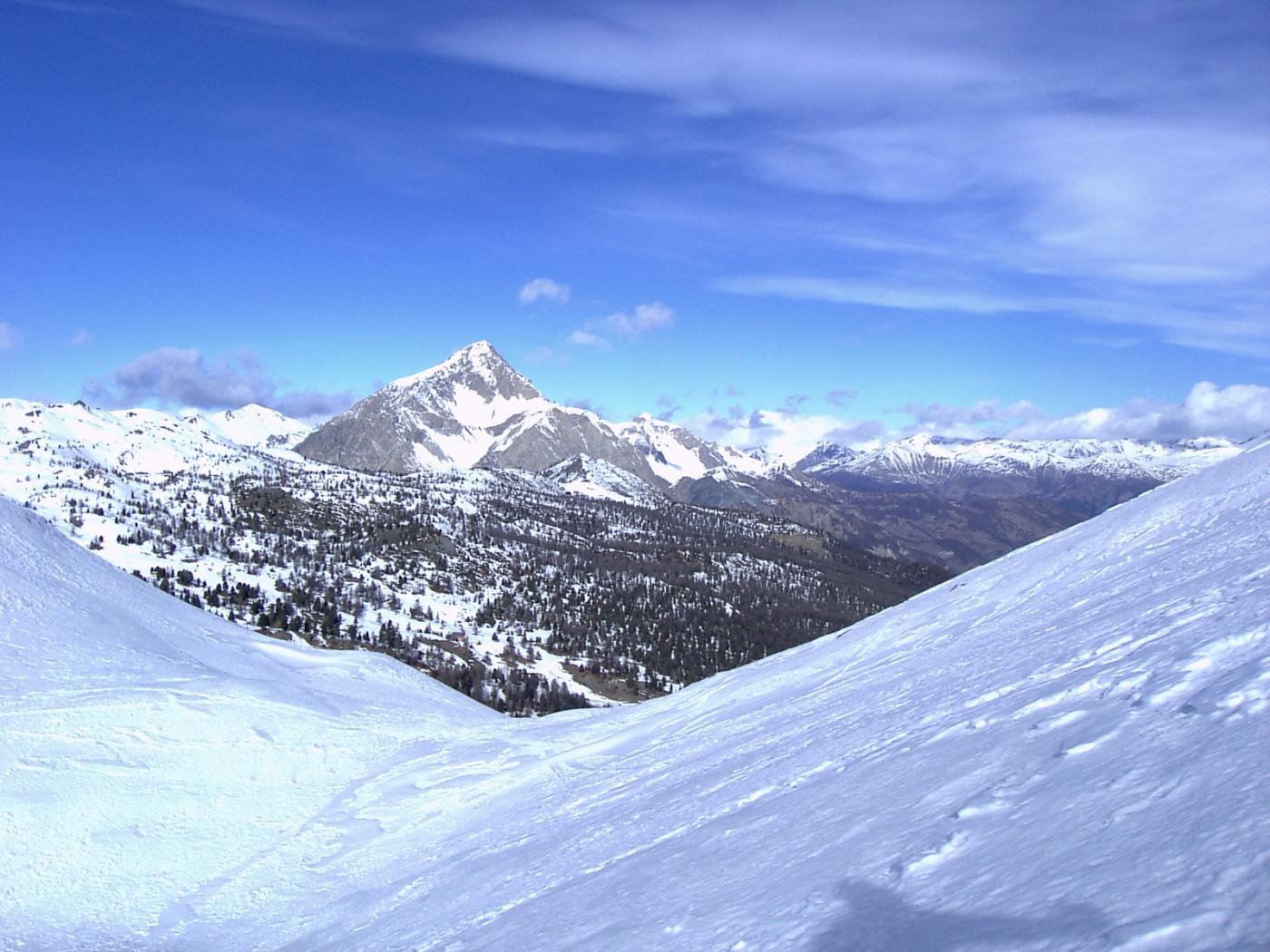
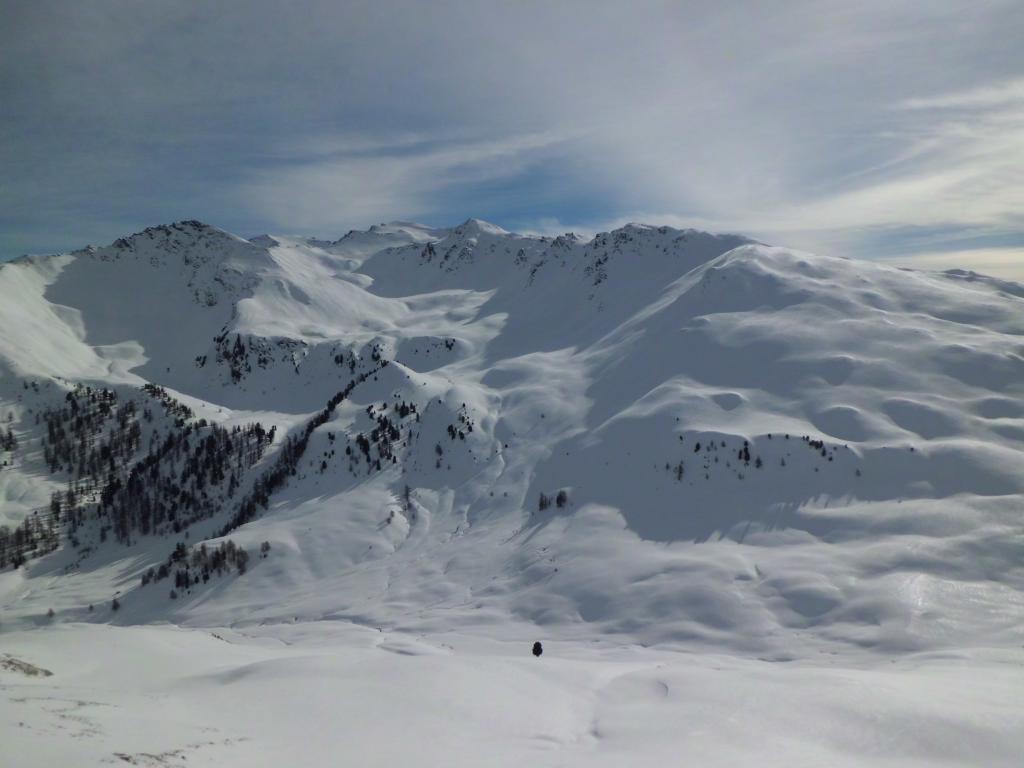
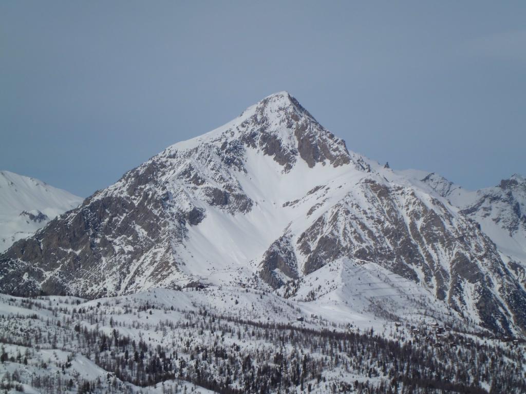
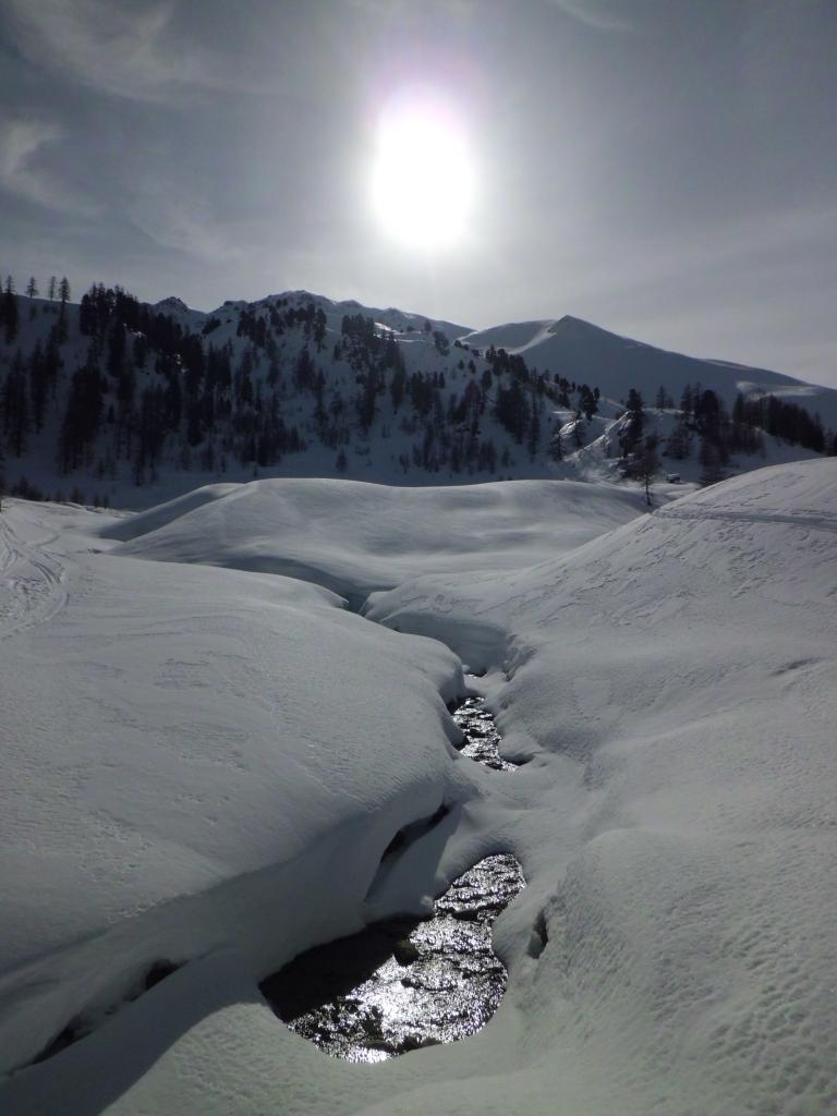
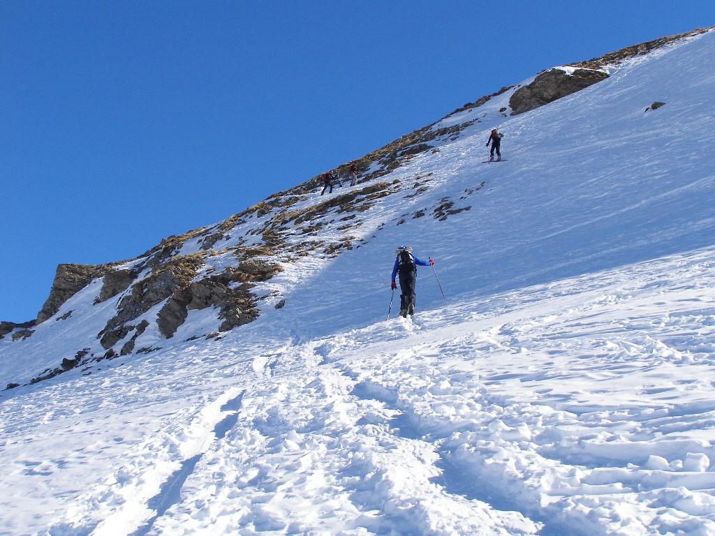
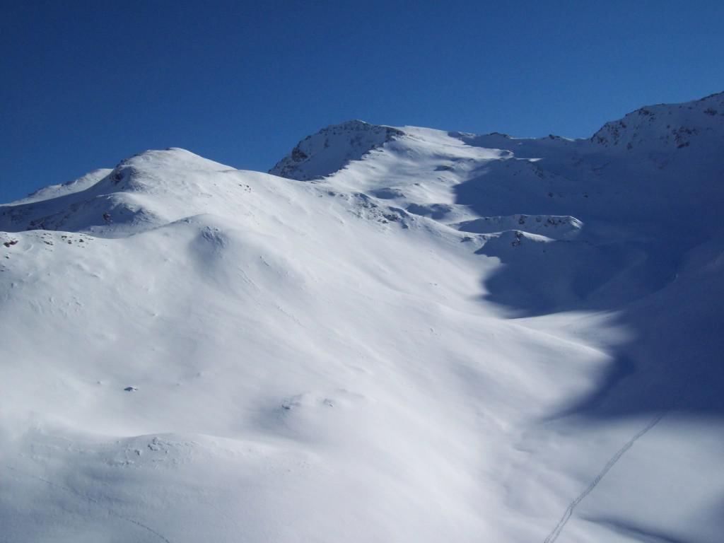
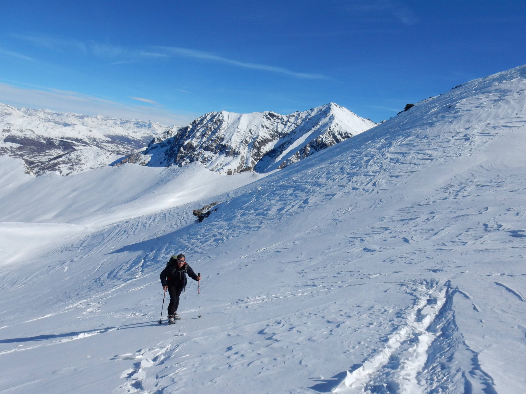
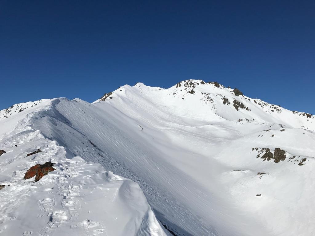
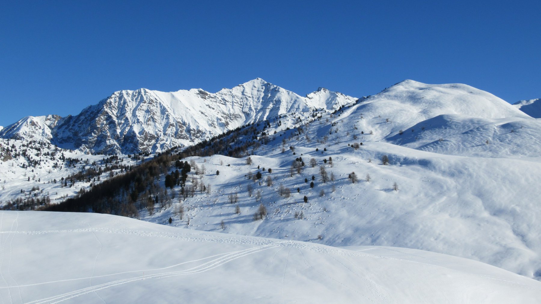
Da Thures si raggiunge Rhuilles lungo la stradina sterrata (percorribile ad inizio o fine stagione). Si attraversa il ponte sul torrente Thuras, e si salgono i prati sul versante est, che incrociano la strada in alcuni punti, fino a che si giunge al bel ripiano dove sorgono le baite diroccate di Chabaud. Si prosegue a monte di esse, fino ad un rudere militare, che si lascia a destra, inoltrandosi nella strettoia in alto sopra il torrente; percorso un breve tratto di questa stradina che taglia le pendici boscose del Monte Giaissez, il percorso si apre nuovamente per bei prati quasi pianeggianti. Si tralasciano eventuali tracce che si staccano sulla sinistra (direzione Giaissez, Dormillouse e Dorlier) e si continua al centro della conca fino al Col Chabaud. Giunti in vista del passo, si piega a destra (NO) e si risalgono i pendii compiendo un semicerchio piuttosto ampio per evitare di attraversare alcuni pendii piuttosto ripidi e valanghivi. Si risalgono i dossi a metà tra il Col Bousson e la Cima Fournier, fino a raggiungere la dorsale Ovest che scende dalla cima. Un ultimo strappo leggermente più ripido conduce in vetta (è presente un cippo di confine a vole sepolto dalla neve).
Discesa per il percorso di salita, oppure volendo compiere un anello si può scendere verso il Lago Nero, quindi Bousson e infine risalita a Thures.
- Cartografia:
- Fraternali 1:25000 n.2 Alta Valle di Susa Alta Val Chisone
Nelle vicinanze Mappa
Itinerari
22/02/2025 TO, Cesana Torinese D+ 739 m MR Ovest
Bosco (Cima del) da Thures
 50m
50m
15/01/2021 TO, Cesana Torinese D+ 552 m MR Varie
Chabaud (Colle) da Thures
 50m
50m
03/01/2024 TO, Cesana Torinese D+ 1008 m MR Nord-Ovest
Giassiez (Monte) o Giaissez dalla Val Thuras
 50m
50m
13/04/2019 TO, Cesana Torinese D+ 1450 m BR Nord
Terra Nera (Monte) dalla Val Thuras
 50m
50m
16/01/2022 TO, Cesana Torinese D+ 1500 m BR Nord
Terra Nera (Monte) dalla Val Thuras, per le cime Dormillouse e Viradantour e Colletto Clausis
 50m
50m
25/04/2025 TO, Cesana Torinese D+ 1288 m BR Nord-Est
Dormillouse (Cima) dalla Val Thuras
 50m
50m
09/01/2014 TO, Cesana Torinese D+ 934 m MR Est
Luna (Costa la) da Bousson per il Lago Nero
 1.2Km
1.2Km
02/02/2025 TO, Cesana Torinese D+ 1300 m BR Varie
Gimont (Mont) o Grand Charvia da Bousson per il Lago dei Sette Colori
 1.2Km
1.2Km
30/03/2025 TO, Cesana Torinese D+ 790 m MR Nord-Ovest
Carabinieri (Poggio dei) da Bousson
 1.2Km
1.2Km
04/01/2023 TO, Cesana Torinese D+ 750 m MR Nord-Est
Bousson (Col) da Bousson per il sentiero forestale
 1.2Km
1.2Km
Servizi
200m
1.5Km
Centro Ristorante
Cesana Torinese
1.9Km
La Crota B&B
Cesana Torinese
2Km
da Carlo Rifugio
Cesana Torinese
2Km
La Tana degli Orsi B&B
Cesana Torinese
4.9Km
L’Ibarus Rifugio
Cesana Torinese
4.9Km
Piergiorgio Frassati B&B
Cesana Torinese
4.9Km
Casa Cesana Bar
Cesana Torinese
5Km
Ottima Scelta Ristorante
Cesana Torinese
6.6Km