2.5Km
2.5Km

Note
 50m
1.7Km
1.7Km
1.7Km
1.9Km
1.9Km
2.6Km
2.6Km
2.6Km
50m
1.7Km
1.7Km
1.7Km
1.9Km
1.9Km
2.6Km
2.6Km
2.6Km
2.5Km
4.6Km
4.7Km
6.3Km
7.4Km
7.5Km
7.8Km
8.2Km
8.6Km
9.6Km
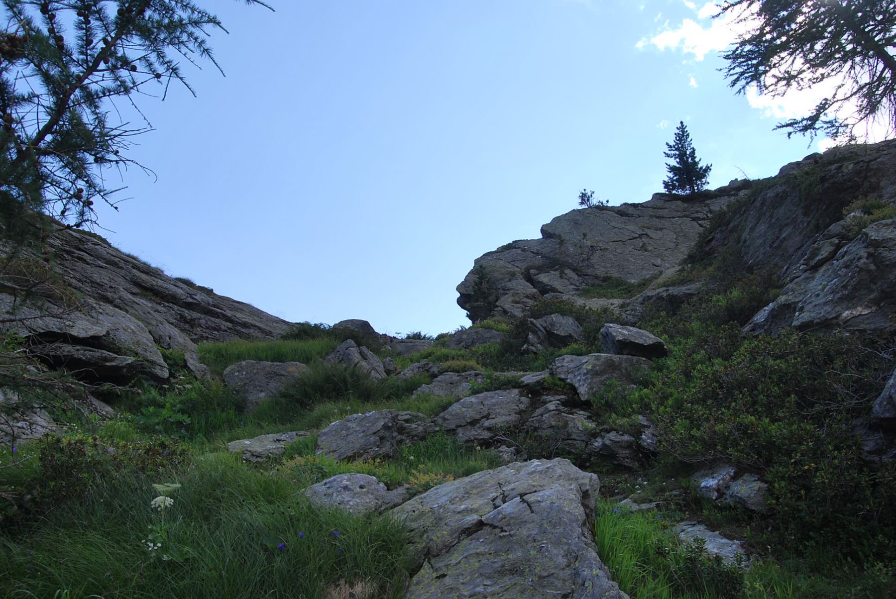
Escursione che in estate, come difficoltà, può essere classificata “E”, ma se effettuata ad inizio stagione, con la parte alta del vallone ancora innevata, allora il livello sale.
Se dal colle si decide di scendere in Valgrisenche vi sono due possibilità, o di scendere lungo il sentiero 20B verso l’Alpeggio di Glacier per poi rientrare a La Clusaz lungo il percorso dell’Alta Via n. 2, oppure di scendere direttamente a Baulin lungo un sentiero che a volte si fa fatica a individuare.
Avvicinamento
Se dal colle si decide di scendere in Valgrisenche vi sono due possibilità, o di scendere lungo il sentiero 20B verso l’Alpeggio di Glacier per poi rientrare a La Clusaz lungo il percorso dell’Alta Via n. 2, oppure di scendere direttamente a Baulin lungo un sentiero che a volte si fa fatica a individuare.
.
Descrizione
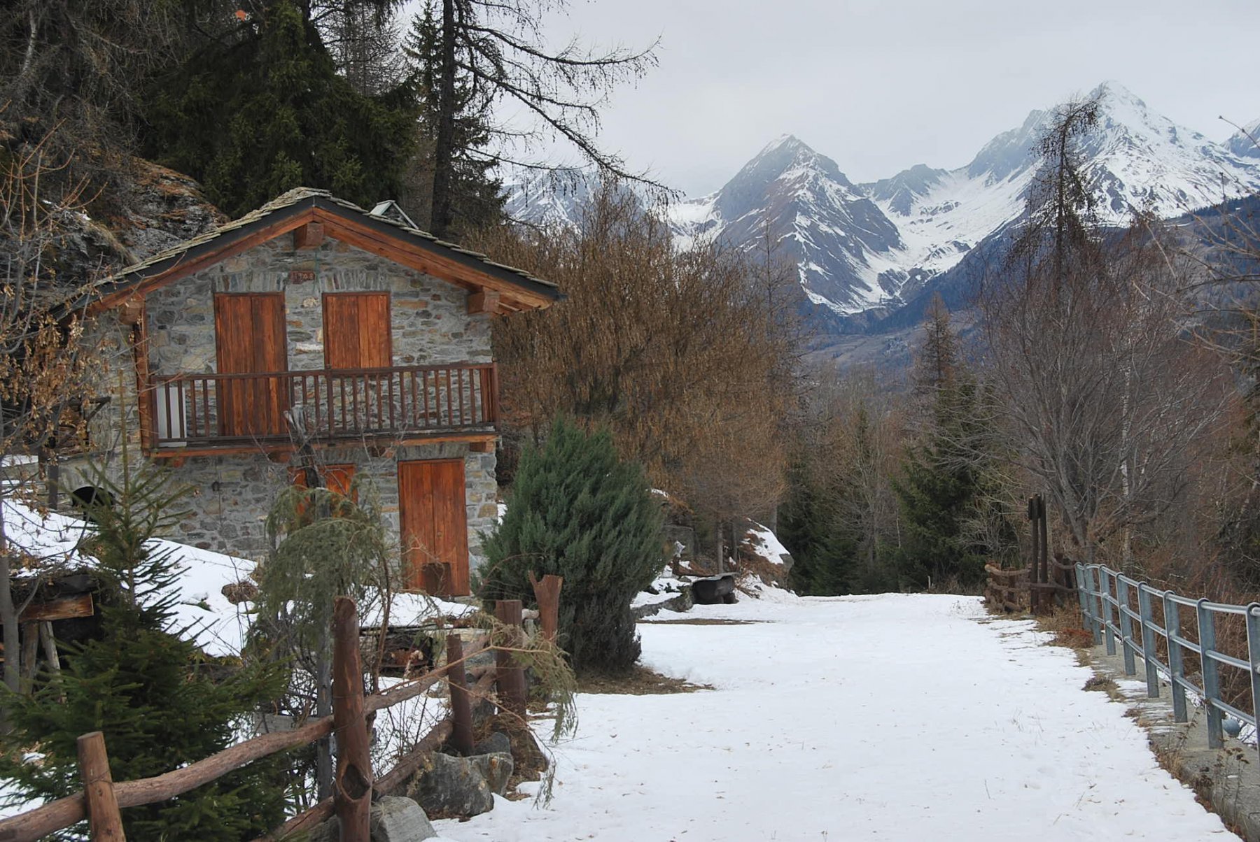
Dal villaggio di Runaz (813 m)si sale lungo la strada asfaltata (indicazioni per la Maison Mosse) fin dove la strada termina in un parcheggio ed inizia il divieto di transito. Qui parte il sentiero n. 20 con tutte le sue successive diramazioni.
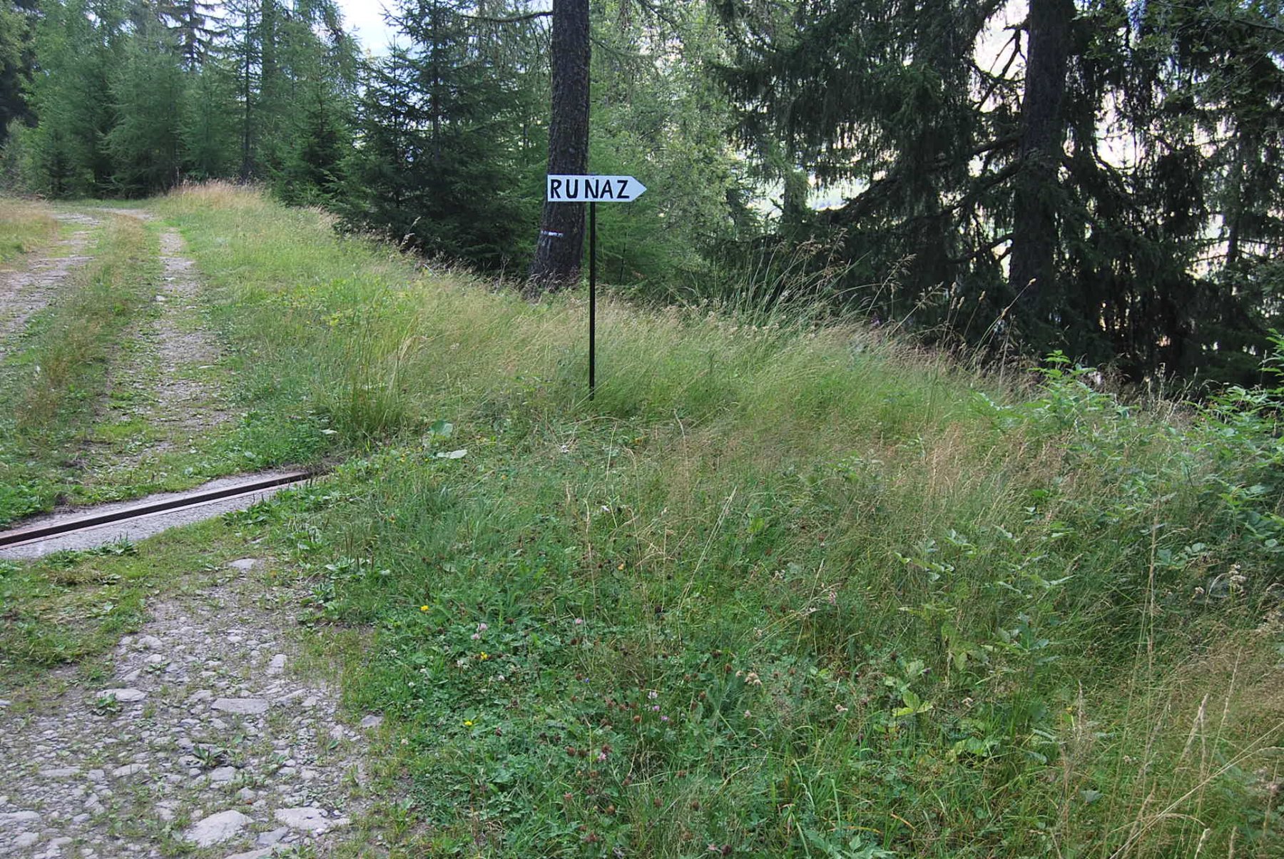
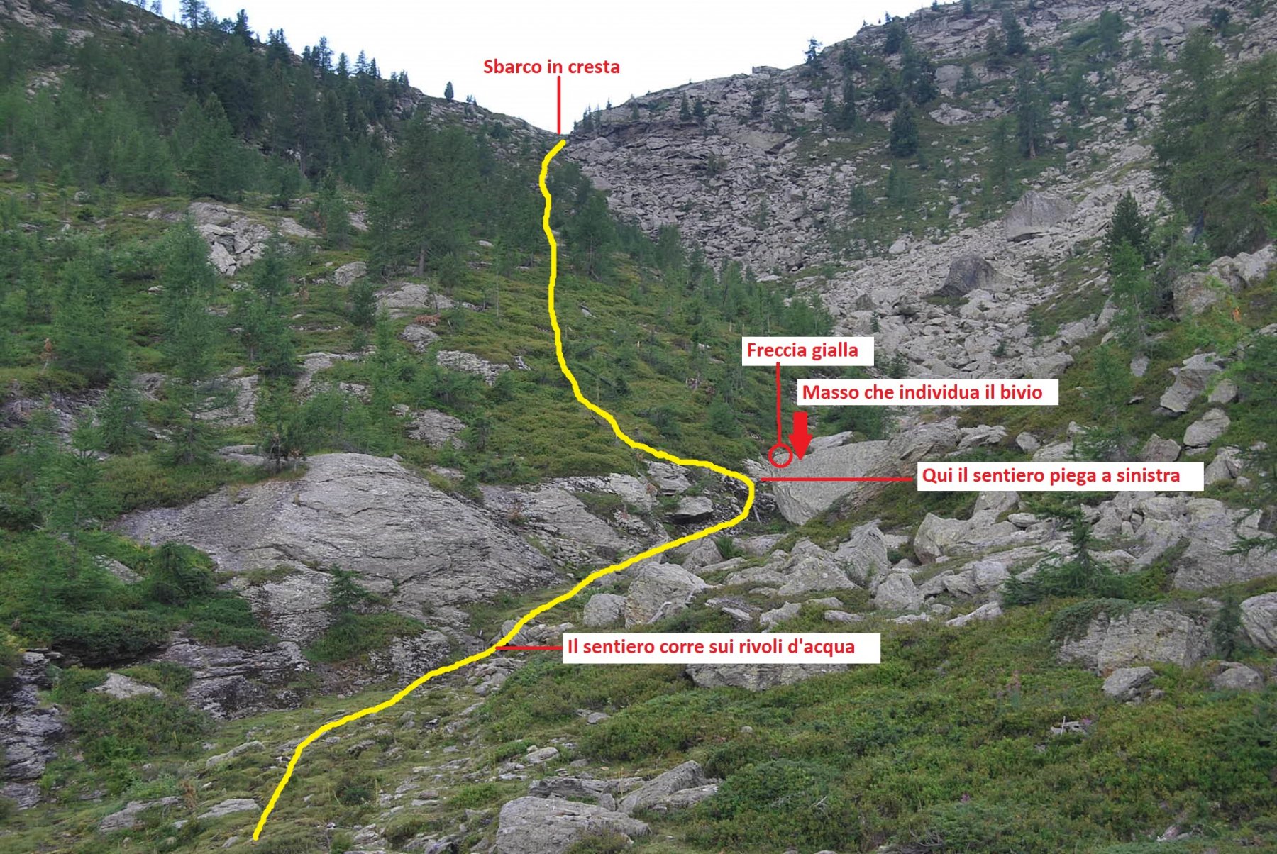
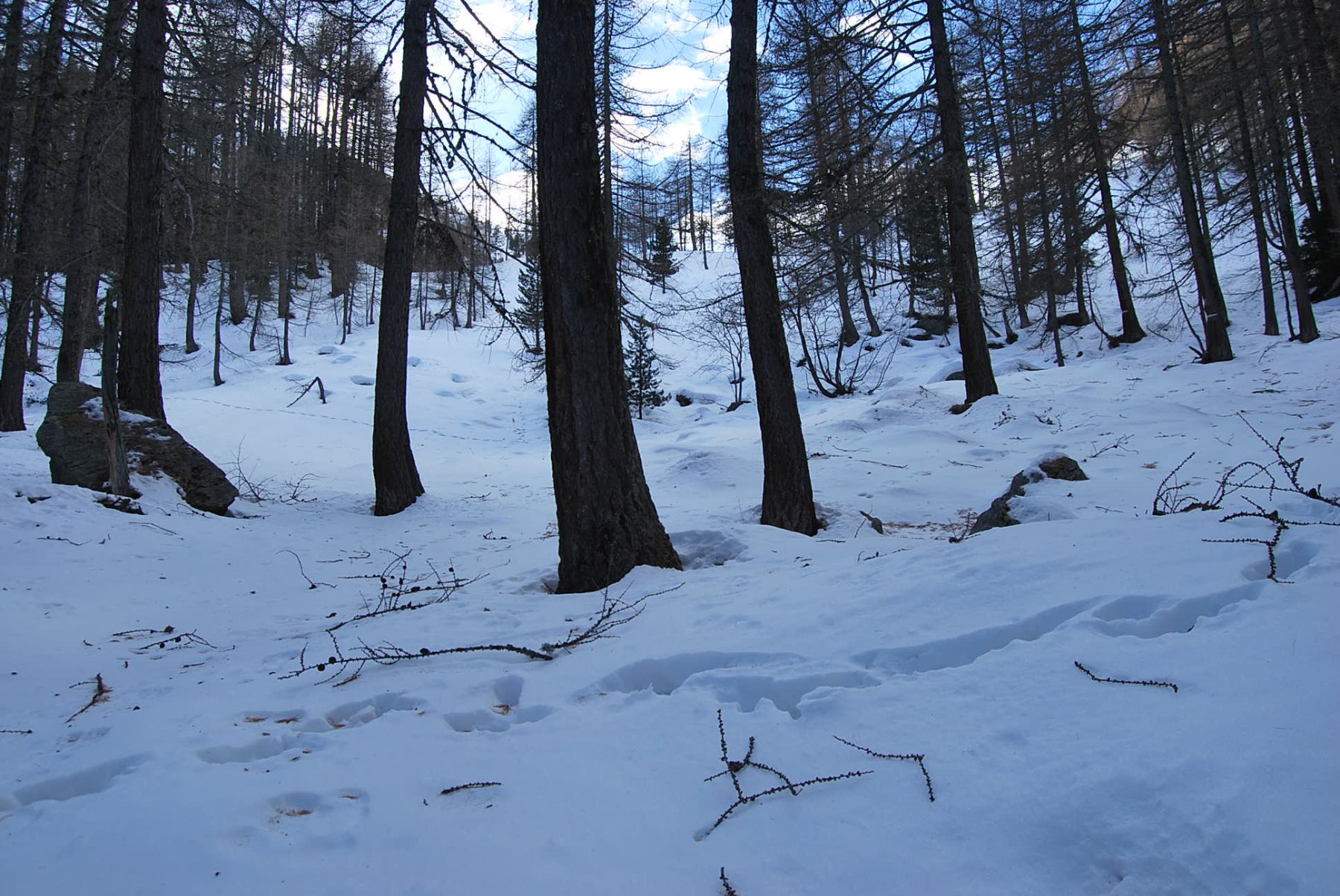
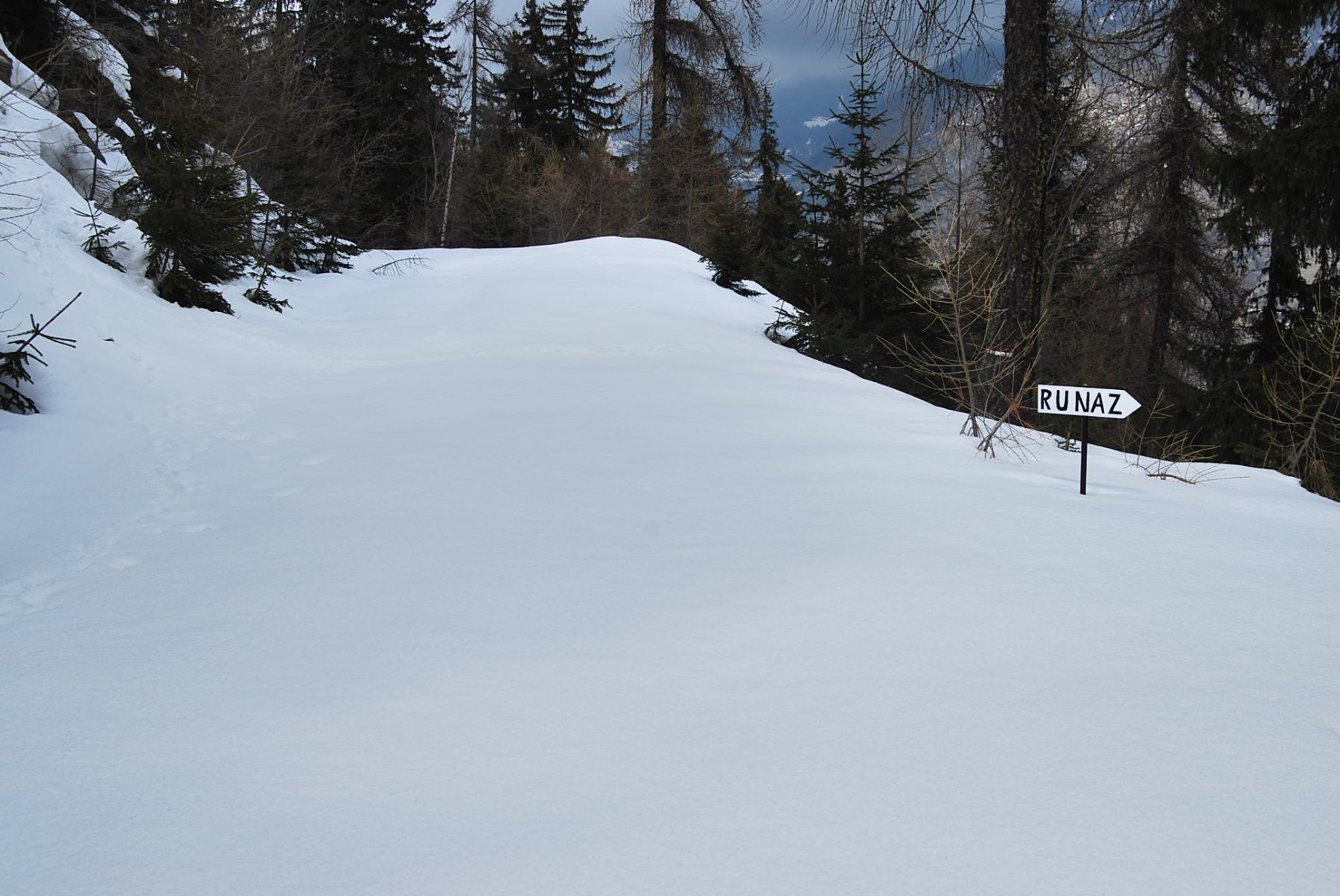
Seguire la strada sterrata per poche centinaia di metri, quindi prendere a destra il sentiero 20 A/B (segnavia) fino al primo bivio, ove si prosegue diritti lungo il 20B trascurando il ramo 20A per il Mt. Colombo (altro segnavia). Il sentiero ritrova poi la sterrata e si arriva ad un grande bivio dove si incrociano prima la strada che scende a Runaz e poi, proseguendo, quella per l’Alpeggio di Freynoz. Si riprende poco dopo a destra (palina segnavia) il sentiero che sale nel bosco, si incrocia nuovamente una sterrata, che però non è la stessa che sale all’Alpeggio di Pesse, si prosegue ancora nel bosco, facendo attenzione a ritrovare il sentiero. Si sbuca nuovamente sulla sterrata dove si vede, in alto, l’Alpeggio di Pesse che può essere raggiunto tagliando il tornante. Appena dopo l’Alpeggio imboccare di nuovo il sentiero (destra), incrociare di nuovo la sterrata e proseguire di nuovo sul sentiero (palina segnavia ed indicazione pirografata su legno).
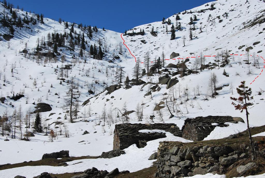
Ad un bivio con palina tenere la destra; proseguendo si arriva ai ruderi delle alpi di Faveroy (2039 m) da cui è ben visibile il colle, che si raggiunge in breve.
- Cartografia:
- Carta L’Escursionista, Fg. 2 (la Thuille) e 4 (Conca di Aosta-Pila-Mt. Emilius) Scala 1:25000.
- Bibliografia:
- L. Zavatta – Le valli del Gran Paradiso e la Valgrisenche - L'Escursionista Editore
Nelle vicinanze Mappa
Itinerari
02/07/2023 AO, Avise D+ 1050 m E Varie
Colombo (Monte) da Runaz, anello per Lolair
 50m
50m
22/07/2024 AO, Avise D+ 150 m T Sud
Freney (Cascata di) da Cerellaz
 1.7Km
1.7Km
29/11/2025 AO, Avise D+ 500 m E Nord-Ovest
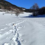
Saint Nicolas da Avise
 1.7Km
1.7Km
13/02/2023 AO, Avise D+ 1184 m E Varie
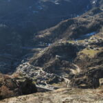
Cammino Balteo tappa n.15 da Avise a Introd
 1.7Km
1.7Km
15/08/2012 AO, Avise D+ 400 m E Sud
Joux (Col de) da Vedun, anello
1.9Km
30/04/2024 AO, La Salle D+ 862 m E Varie
Court de Bard da Vedun, anello
 1.9Km
1.9Km
29/07/2023 AO, Avise D+ 1050 m E Varie
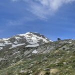
Bredy Claudio (Bivacco) ai Laghi di Dzioule da Vedun
 1.9Km
1.9Km
02/06/2023 AO, Saint-Nicolas D+ 1100 m EE Sud-Est
Serena (Testa di) da Vens/Jovençan per il Vallone di Vertosan e il Bivacco Bredy
 2.6Km
2.6Km
07/06/2026 AO, Saint-Nicolas D+ 877 m E Sud
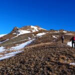
Aquiletta (Punta) o Ollietta da Vens
 2.6Km
2.6Km
29/06/2026 AO, Saint-Nicolas D+ 1200 m EE Tutte
Leissè o Leysser (Punta) da Vens, anello per il Lago Leysser
 2.6Km
2.6Km
Servizi
2.5Km
4.6Km
Atanor Ristorante
Arvier
4.7Km
Beau Sejour Albergo
Arvier
6.3Km
Paramont Albergo
Arvier
7.4Km
Lo Foo Ristorante
La Salle
7.5Km
Notre Maison Albergo
Saint Pierre
7.8Km
Vetan Ristorante
Saint-Pierre
8.2Km
La Jolie Bergere Albergo
La Salle
8.6Km
Le Vieux Noyer B&B
Saint-Pierre
9.6Km