 350m
350m
Avvicinamento
 50m
50m
50m
3.2Km
5.2Km
5.2Km
5.2Km
5.2Km
5.4Km
5.4Km
50m
50m
50m
3.2Km
5.2Km
5.2Km
5.2Km
5.2Km
5.4Km
5.4Km
.
Descrizione
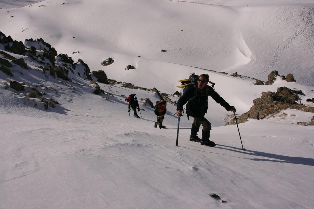
Dal Colle della Maddalena, si scende in territorio francese, toccando i centri abitati di Larche prima e Meyronnes, dove si prende una diramazione a destra che conduce a Saint Ours m. 1775. Parcheggiata l’auto si segue un sentiero segnalato con segni bianco-rossi e un cartello indicatore per il Col de Mirandol verso destra.
Il sentiero sale per pendii erbosi e pascoli sempre a destra in direzione degli imponenti e spettacolari torrioni rocciosi di Saint Ours. Raggiunta una cappelletta, si prosegue ora verso sinistra, trascurando un ripido vallone che si stacca sulla destra e porta alla Tete de Courbe.
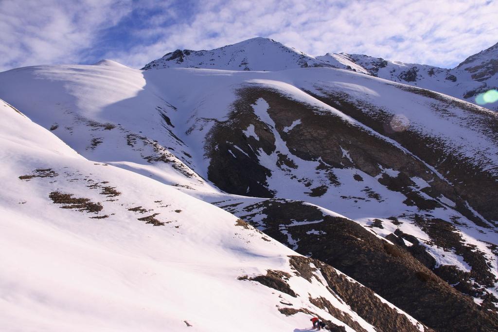
Superando pendii detritici (o nevosi), si attraversano alcuni piccoli corsi d’acqua e poi si rimontano i ripidi pendii (sulla destra) direttamente o con alcune diagonali che portano all’ampia sella del Col de Mirandol m. 2433 (ore 2,00 da Saint Ours). Dal colle, abbandonato il sentiero (o le tracce nella neve) che proseguono a sinistra e scendono poi verso Fouillouse, si prosegue lungo la cresta Sud-Est mantendosi lungo il filo.
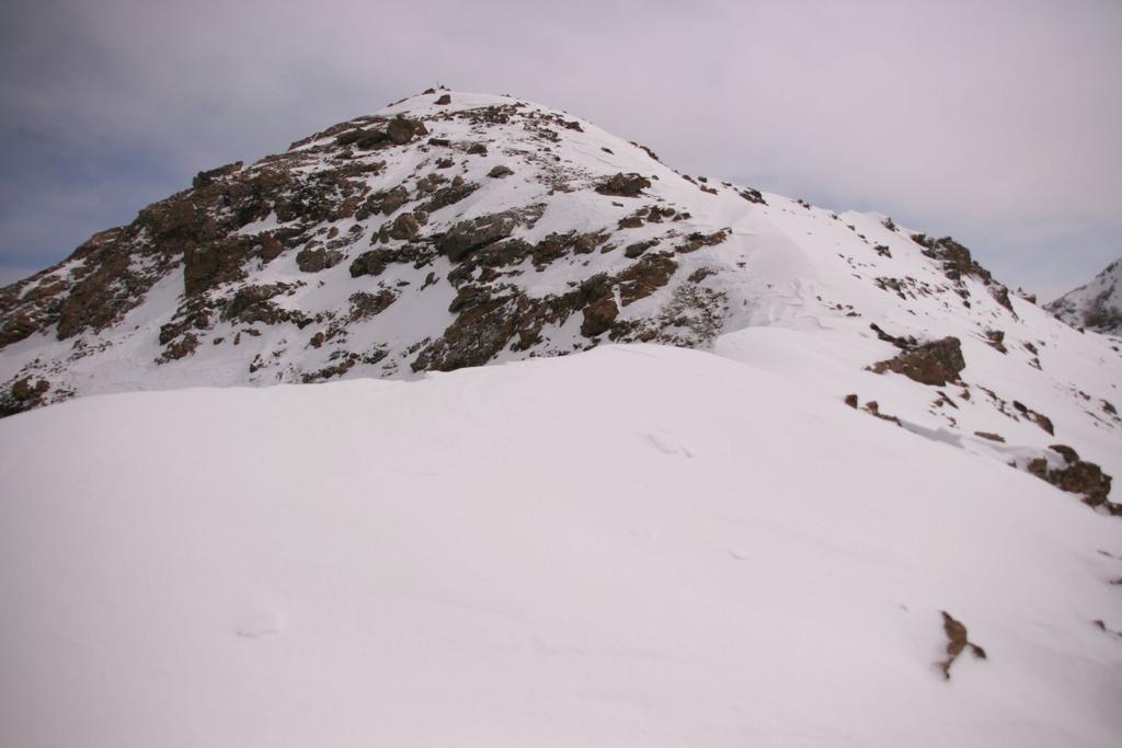
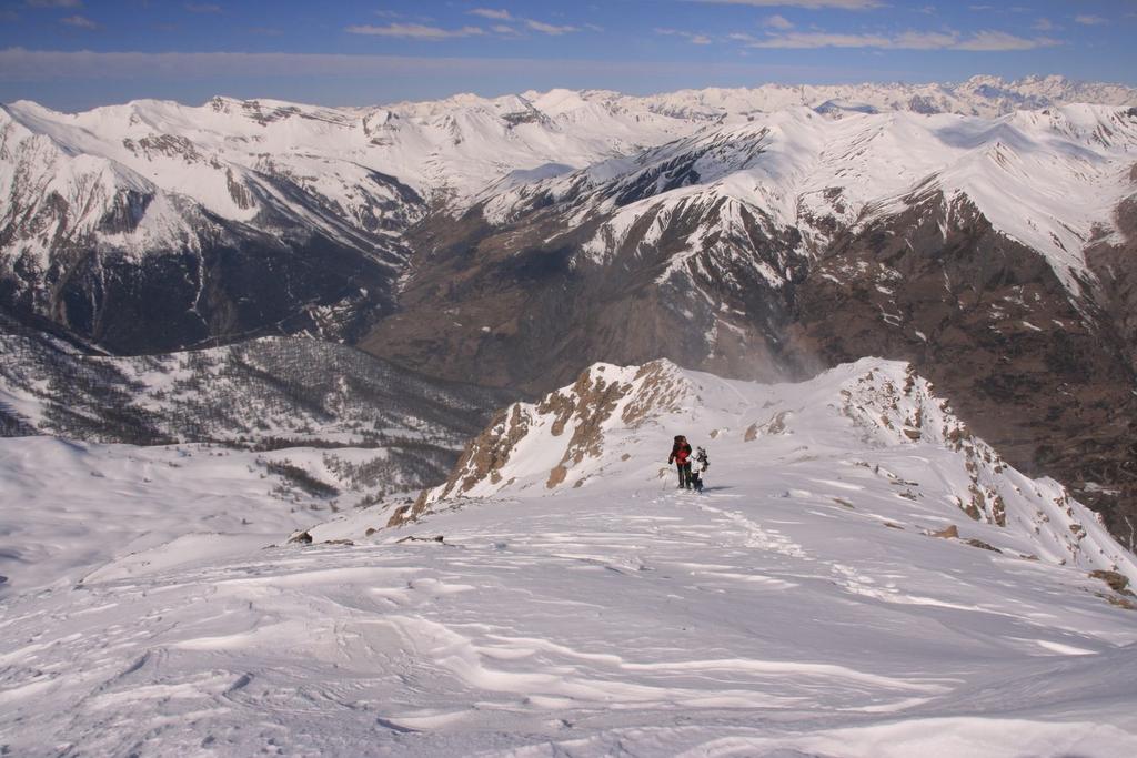
La prima parte della cresta è larga e molto semplice, poi si supera un pendio piuttosto ripido (circa 40°, e, un breve tratto intorno ai 45°, con alcuni passaggi di misto (qualche tratto di I e pochi metri di II, ma evitabili sulla destra per pendii nevosi e canalini) che raggiunge l’anticima. Da qui seguendo la facile cresta nevosa si raggiunge la vetta della Tete de l’Eyssiloun m. 2896, sormontata da un grande ometto di pietre.
Si continua lungo il filo di cresta, che da qui diventa più stretta e leggermente più impegnativa, con qualche tratto affilato e alcune roccette facili (ma che possono essere ghiacciate) fino a raggiungere la bella vetta della Tete des Adrechouns m. 2950, segnata da un semplice ometto di pietre e un piccolo paletto in legno. (ore 4,00 complessivamente da Saint Ours alla cima).
Da qui volendo, si può proseguire sempre in cresta fino alla Tete de Courbe m. 3089, ma con tratti su roccia e misto più impegnativi, valutabili PD. In discesa si segue a ritroso lo stesso itinerario percorso in salita. (Relazione di ste_6962).
- Cartografia:
- IGN foglio 3538 ET
Nelle vicinanze Mappa
Itinerari
17/08/2019 Alpes-de-Haute-Provence, Val-d'Oronaye TD Ovest
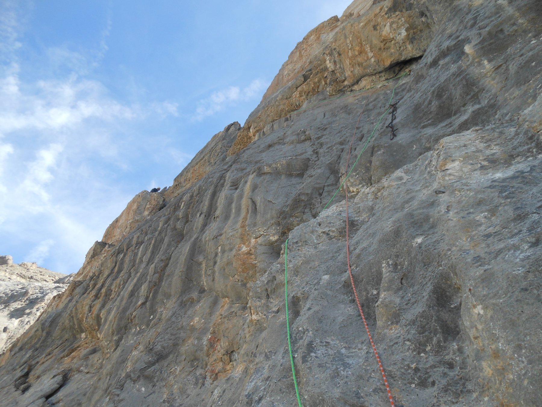
Oubliée du Vallonet (Aiguille) – Via Boeuf-Lombard-Ricciardi
 50m
50m
03/02/2024 Alpes-de-Haute-Provence, Val-d'Oronaye D+ 1418 m F Sud
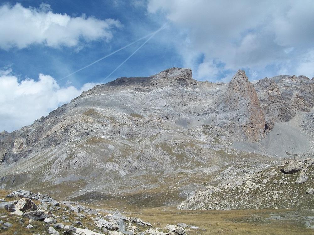
Blancia (Rocca) da Saint Ours
 50m
50m
21/06/2026 Alpes-de-Haute-Provence, Val-d'Oronaye D+ 1142 m PD- Sud
Meyna (Sommet de la) Via Normale da Saint Ours per il Versante Sud
 50m
50m
30/08/2025 Alpes-de-Haute-Provence, Val-d'Oronaye D+ 1680 m F Nord-Est
Siguret (Tete de) e Tete de Cuguret da Certamussat, anello per il Vallon de la Duyere
 3.2Km
3.2Km
21/06/2012 Alpes-de-Haute-Provence, Saint-Paul-sur-Ubaye D+ 1503 m AD+ Nord
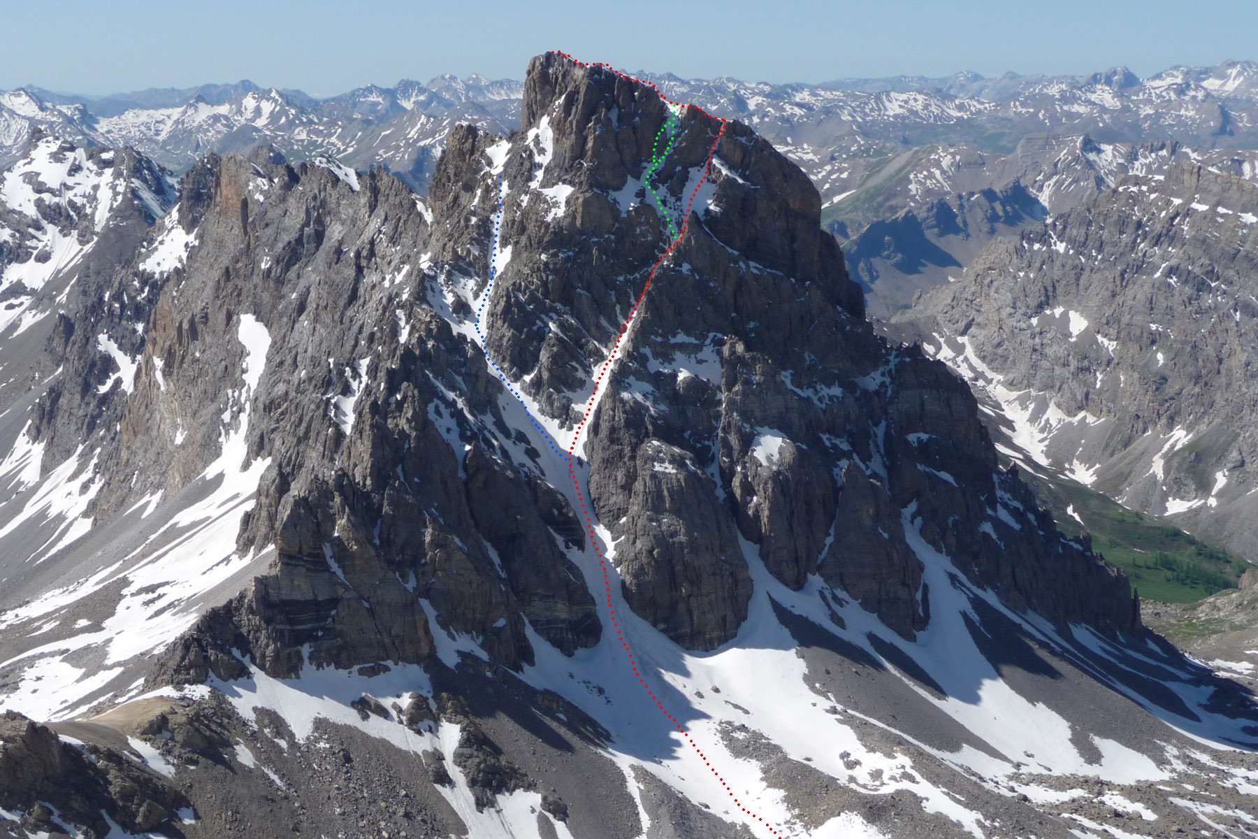
Chambeyron (Brec de) Couloir Nord da Fouillouse
 5.2Km
5.2Km
01/11/2009 Alpes-de-Haute-Provence, Saint-Paul-sur-Ubaye D+ 1321 m F+ Sud-Ovest
Homme (Tete de l’) da Fouillouse per il Refuge de Chambeyron, il canale SO e cresta O
 5.2Km
5.2Km
18/08/2025 Alpes-de-Haute-Provence, Saint-Paul-sur-Ubaye D+ 1526 m PD Sud-Ovest
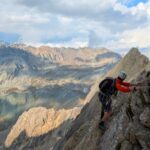
Chambeyron (Aiguille de) Via Normale degli Italiani da Fouillouse
 5.2Km
5.2Km
22/05/2010 Alpes-de-Haute-Provence, Saint-Paul-sur-Ubaye D+ 1315 m PD- Ovest
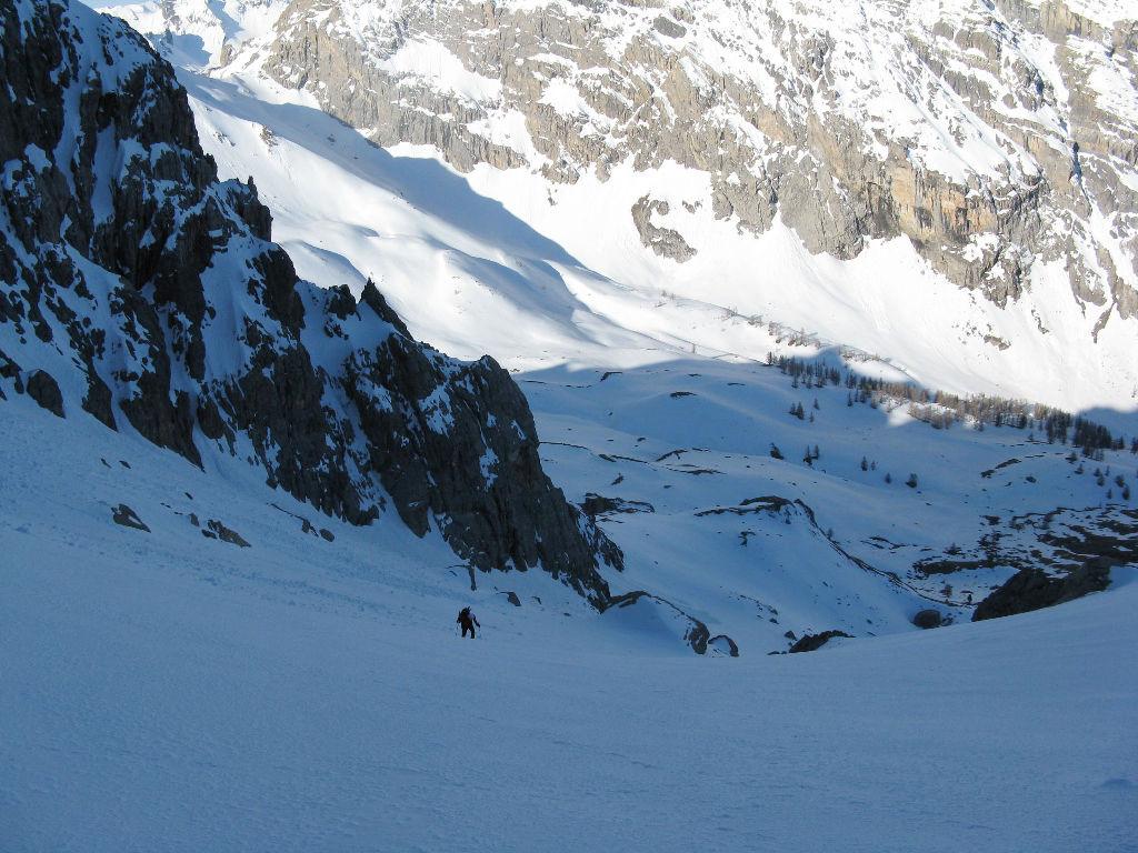
Nubiera (Buc de) Canale Ovest da Fouillouse
 5.2Km
5.2Km
24/06/2023 Alpes-de-Haute-Provence, Val-d'Oronaye D+ 1200 m F Varie
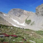
Coin de l’Ours (Tete du) da Larche
 5.4Km
5.4Km
14/06/2020 Alpes-de-Haute-Provence, Val-d'Oronaye D+ 1400 m PD Varie
Vallonasso (Monte) Canale NO e Cresta N/NE
 5.4Km
5.4Km

