0m
0m
Note
 0m
0m
0m
0m
0m
0m
0m
0m
0m
0m
0m
0m
0m
0m
0m
0m
0m
0m
0m
0m
0m
0m
50m
100m
1.7Km
2.2Km
2.5Km
3Km
3Km
3.1Km
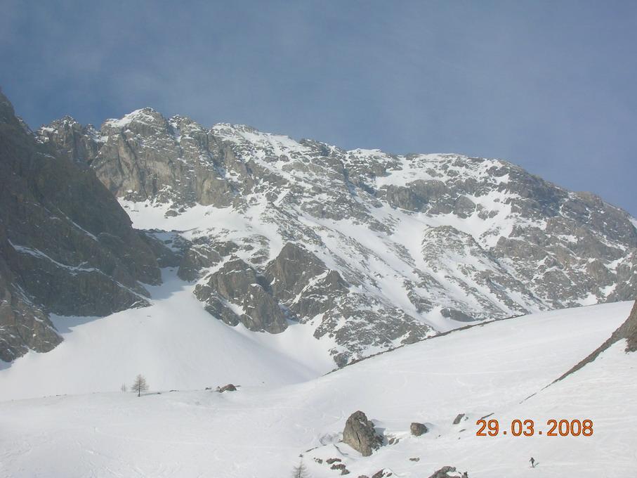
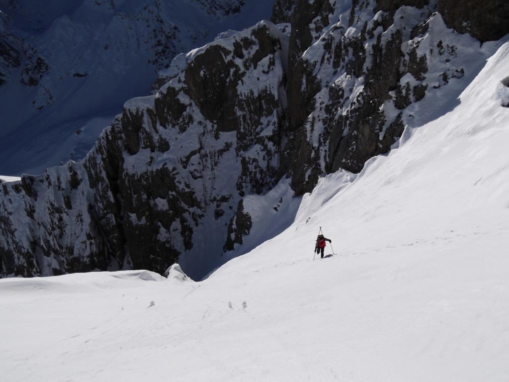
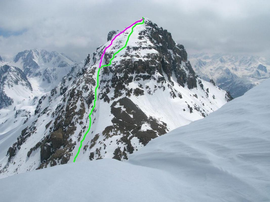
E’ innominata sulle carte IGC e sulla GMI dove viene citata solo come quota.
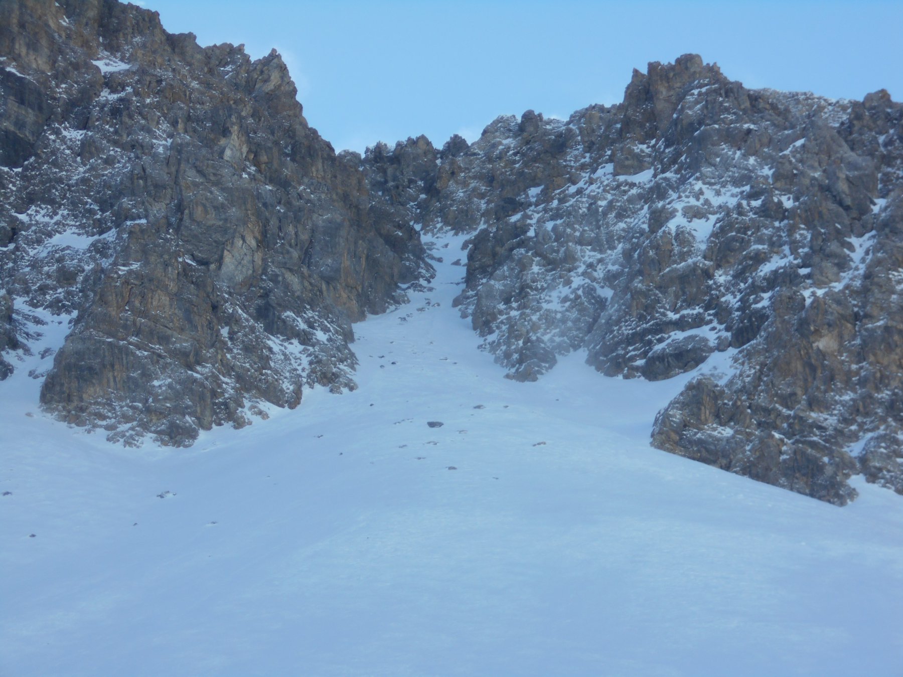
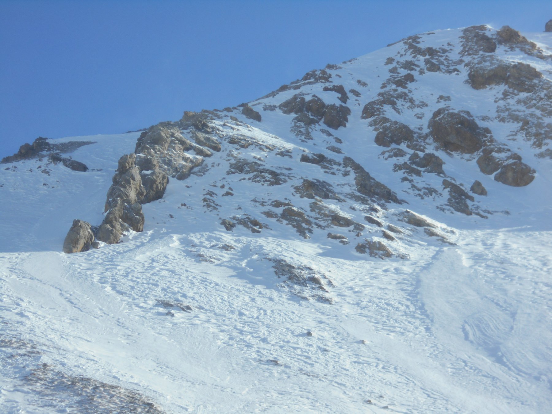
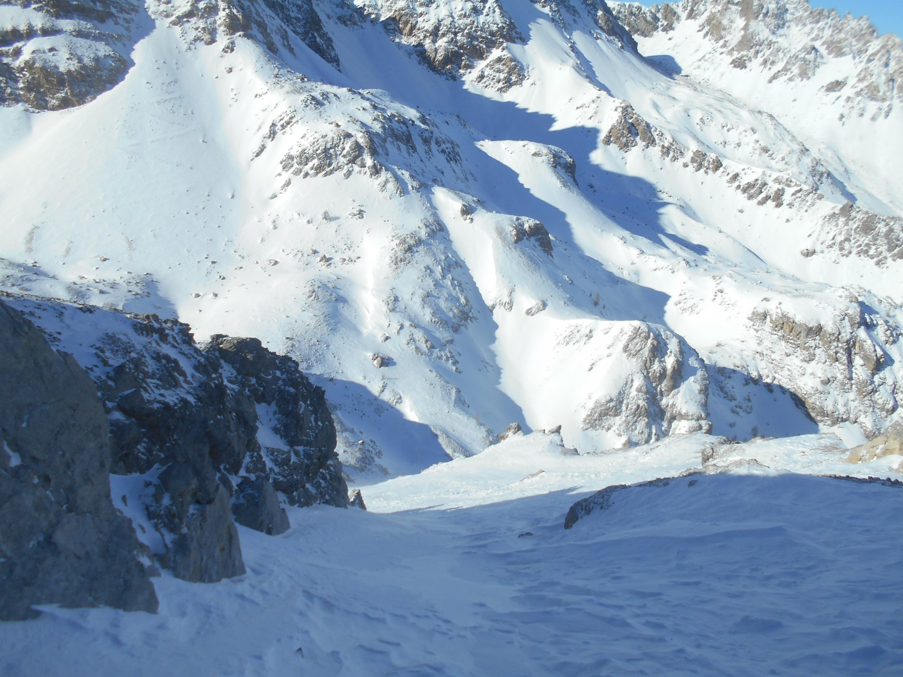
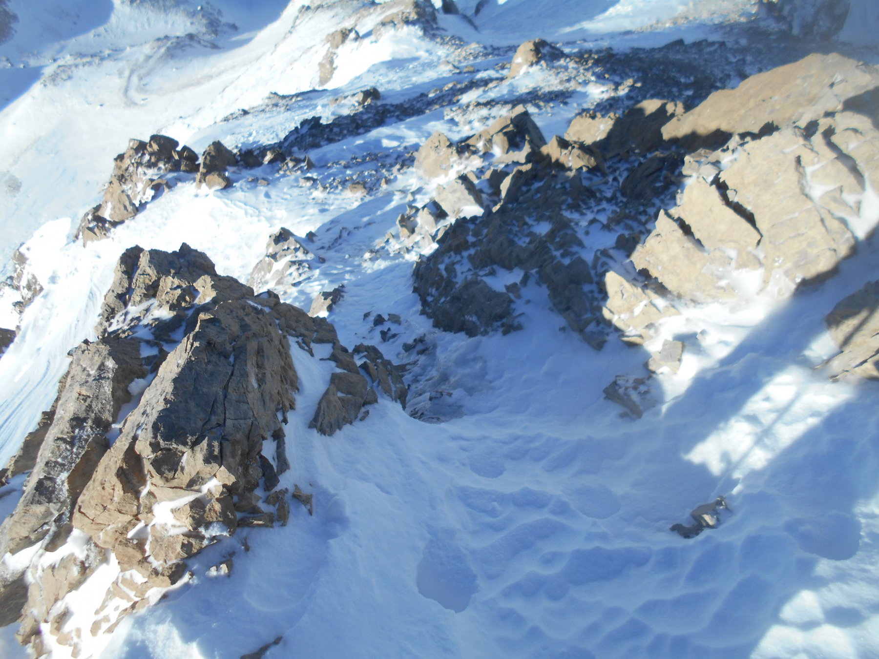
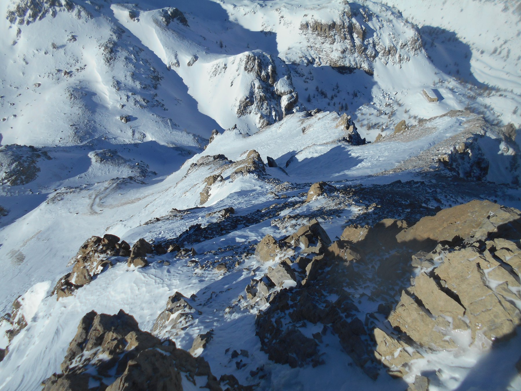
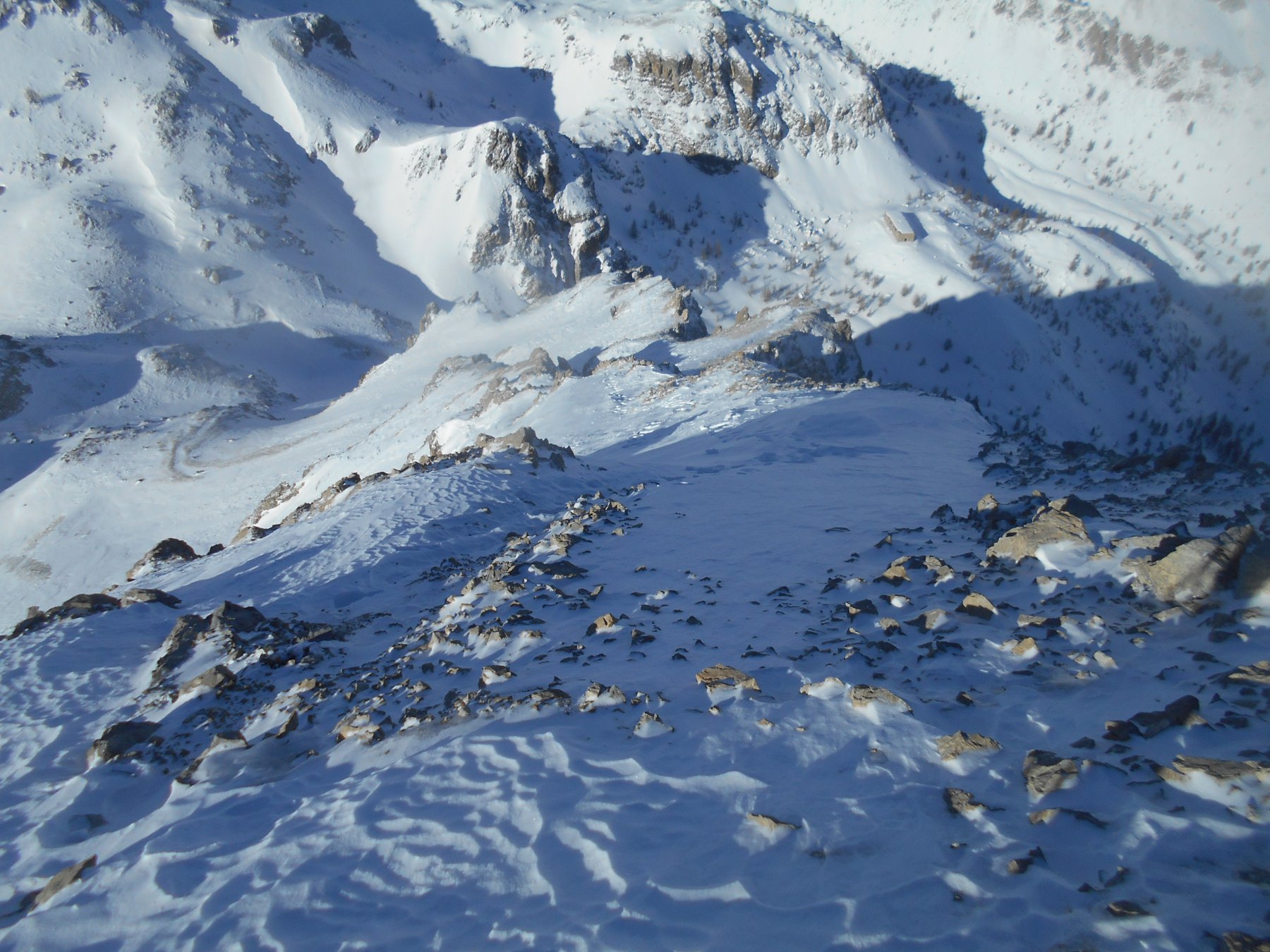
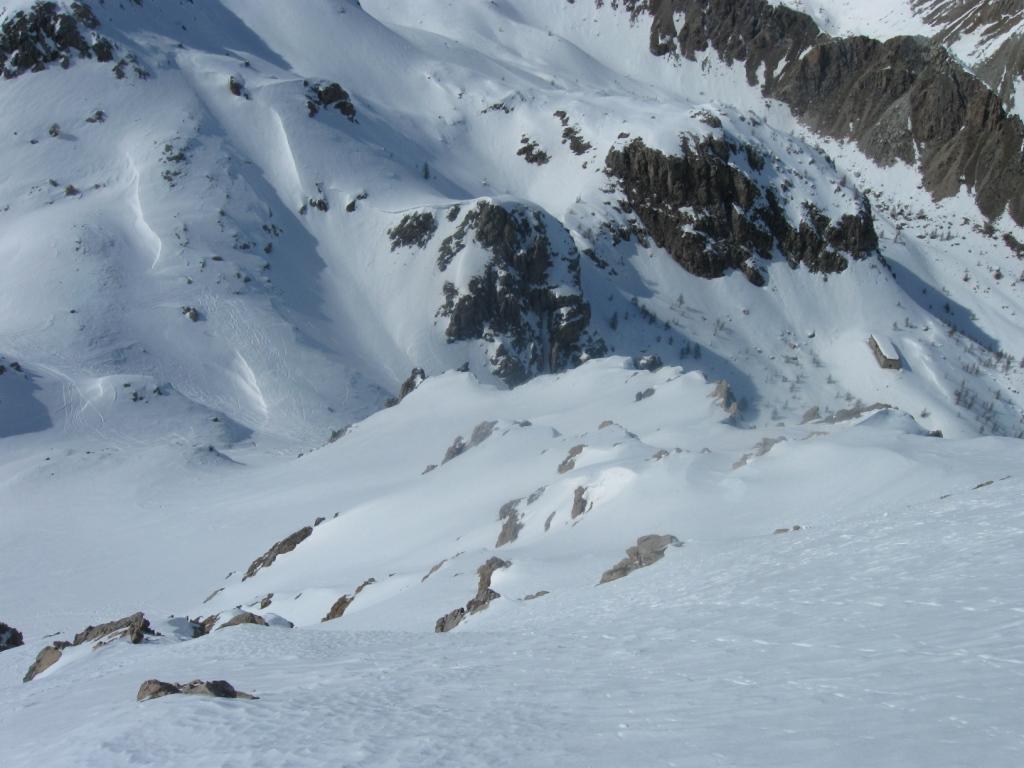
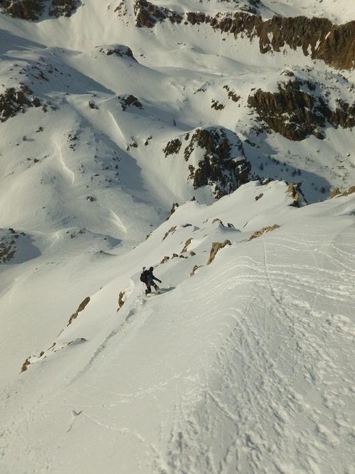
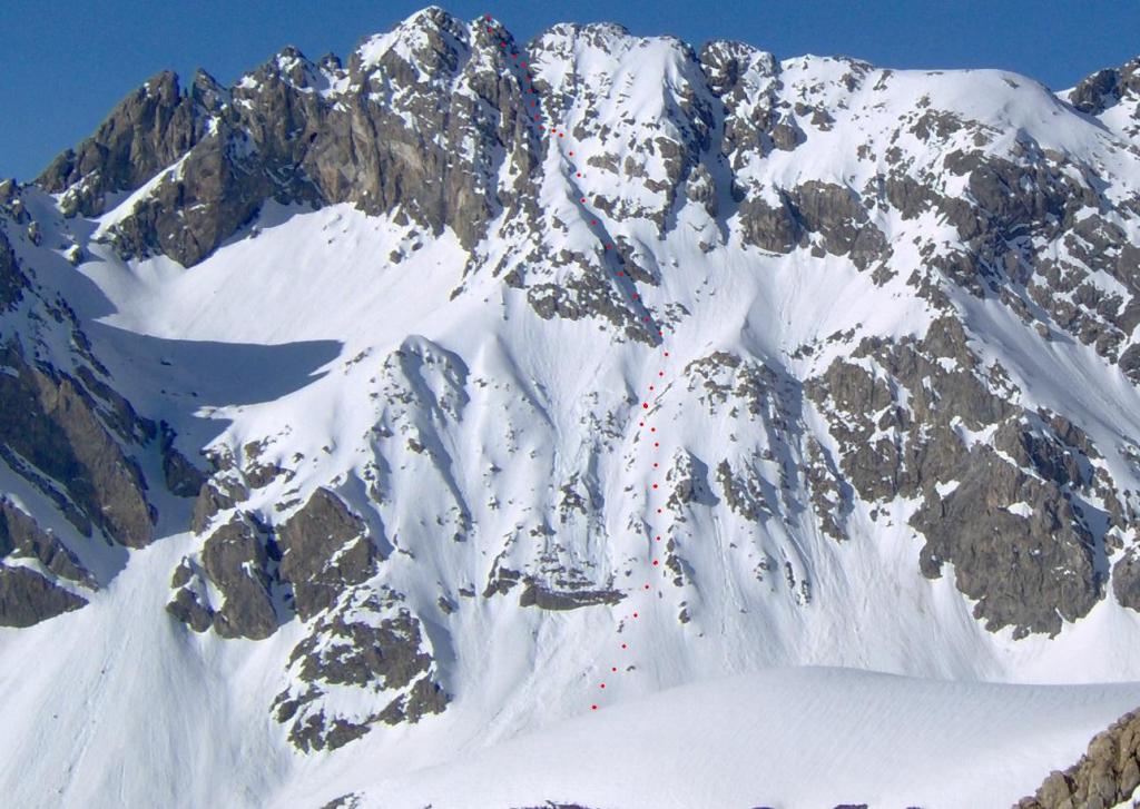
E’ una isolata e distinta cima rocciosa fra la Comba Emanuel e il vallone di Escalon, ben visibile da Chialvetta. Ha una vetta composta di due sommità: una cima S 2654 m (di facile accesso) e una nord 2668m (più ardua) separate da una forcella (2645 m circa) dove pervengono i canali N e SE.
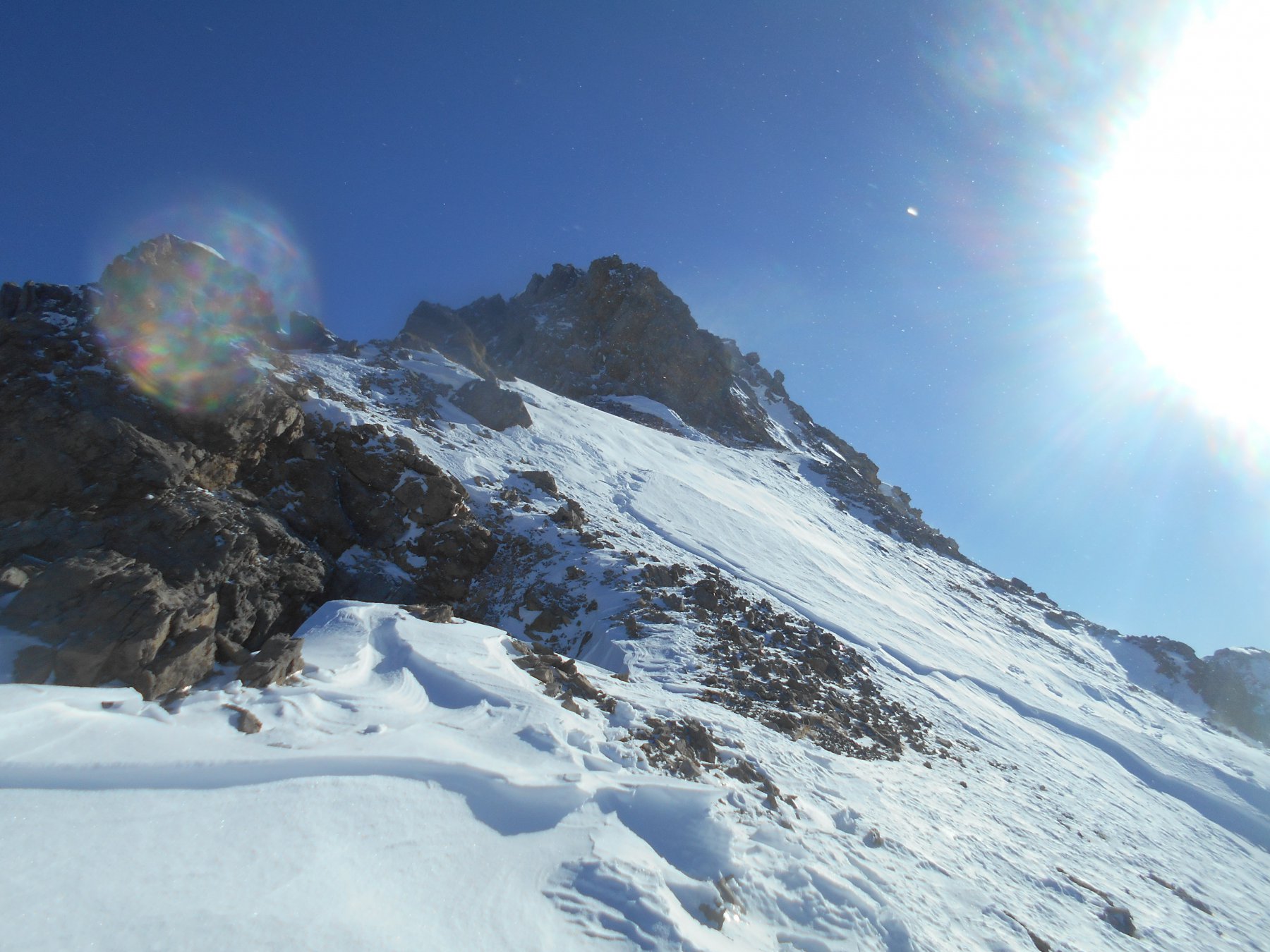
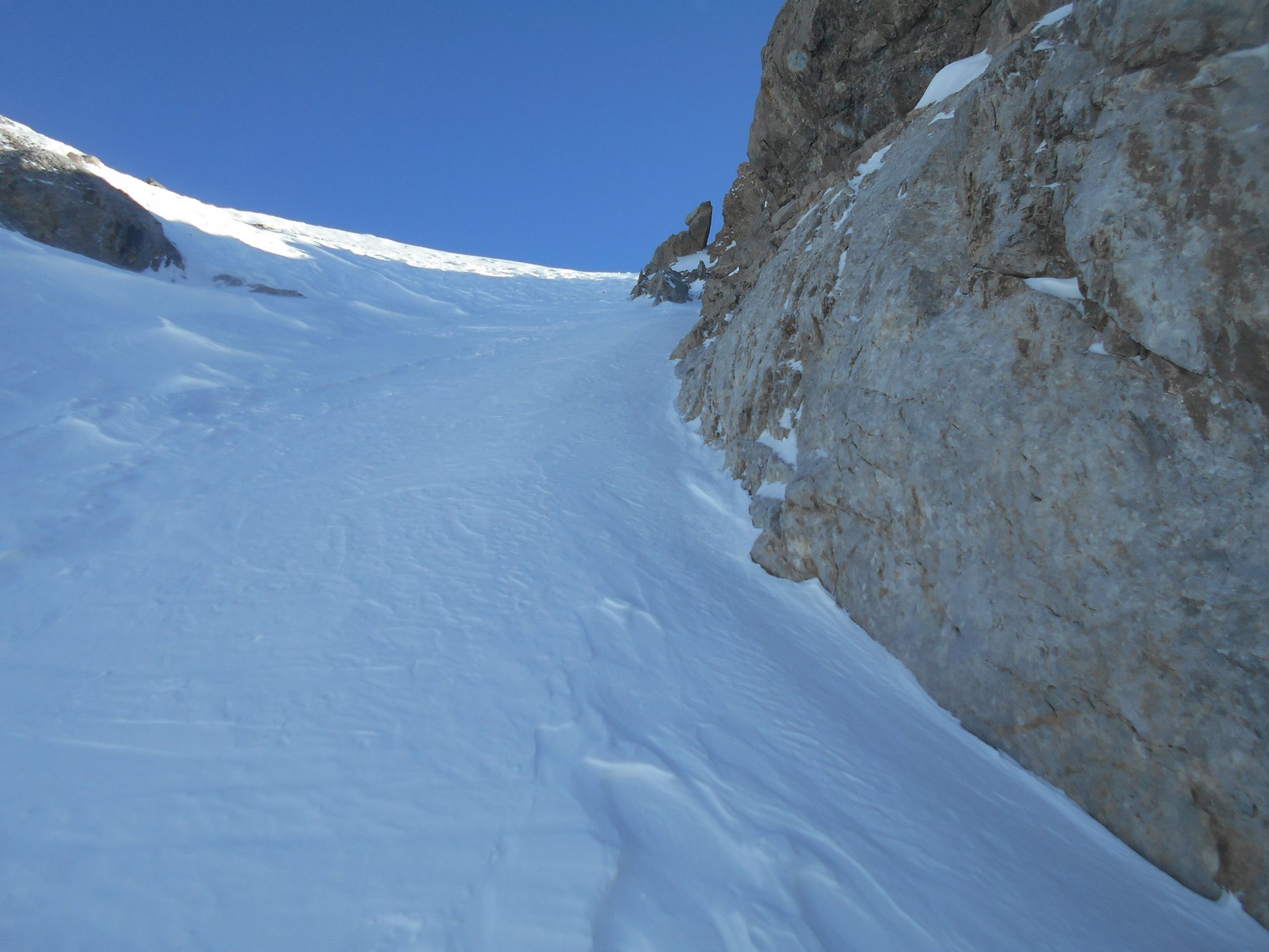
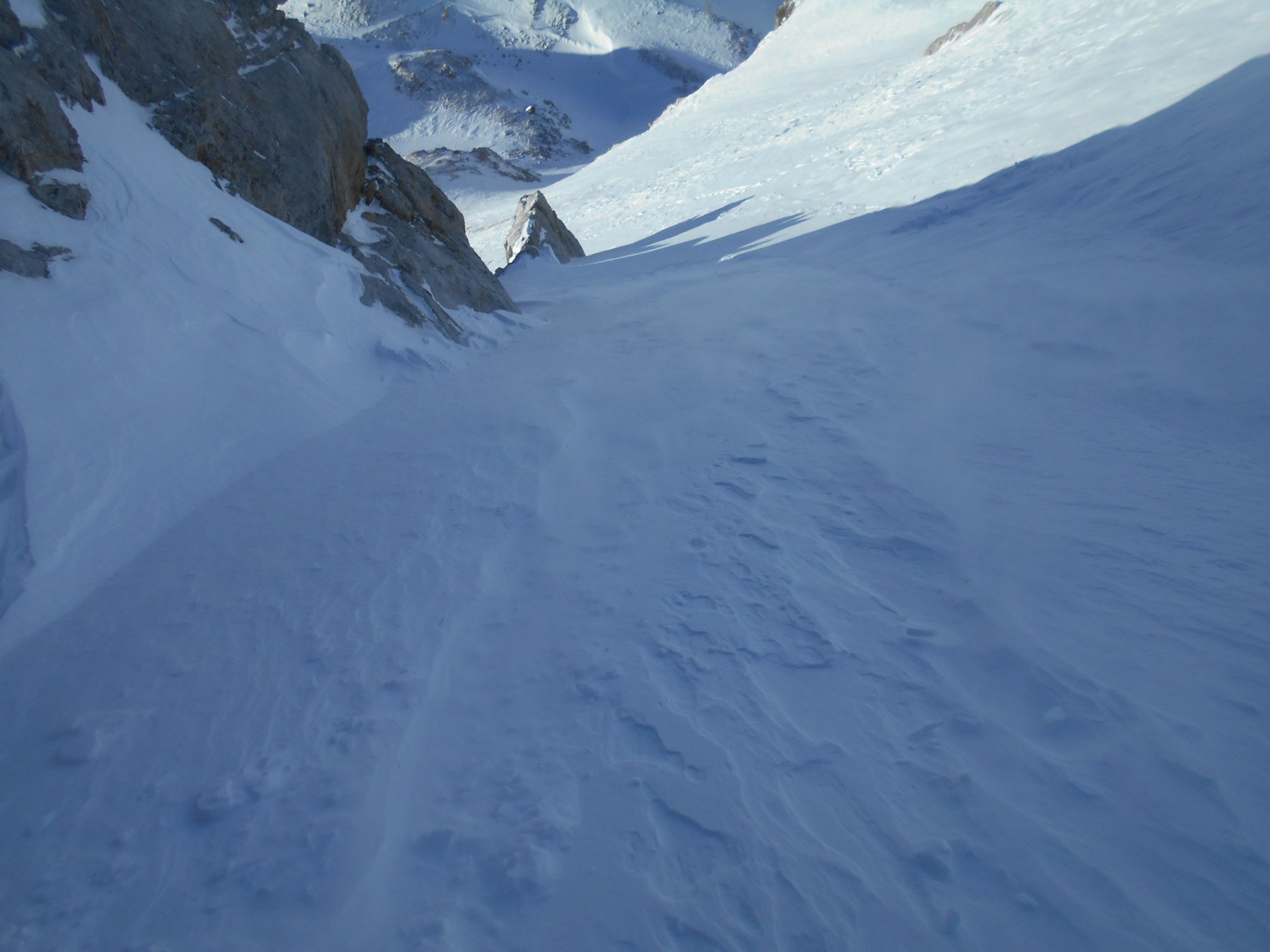
Breve ed estetica parete leggermente esposta, concatenabile con gli altri due itinerari del Cobre. Oppure dopo il canale Nord della Peroni si può scendere e raggiungere comodamente la parete (250m 40°-45°max).
Descrizione
E’ una isolata e distinta cima rocciosa fra la Comba Emanuel e il vallone di Escalon, ben visibile da Chialvetta. Ha una vetta composta di due sommità: una cima S 2654 m (di facile accesso) e una nord 2668m (più ardua) separate da una forcella (2645 m circa) dove pervengono i canali N e SE.
Breve ed estetica parete leggermente esposta, concatenabile con gli altri due itinerari del Cobre. Oppure dopo il canale Nord della Peroni si può scendere e raggiungere comodamente la parete (250m 40°-45°max).
Da Chialvetta raggiungere Pratorotondo e quindi Prato Ciorliero. Si devia a destra raggiungendo la base del conoide N del Cobre.
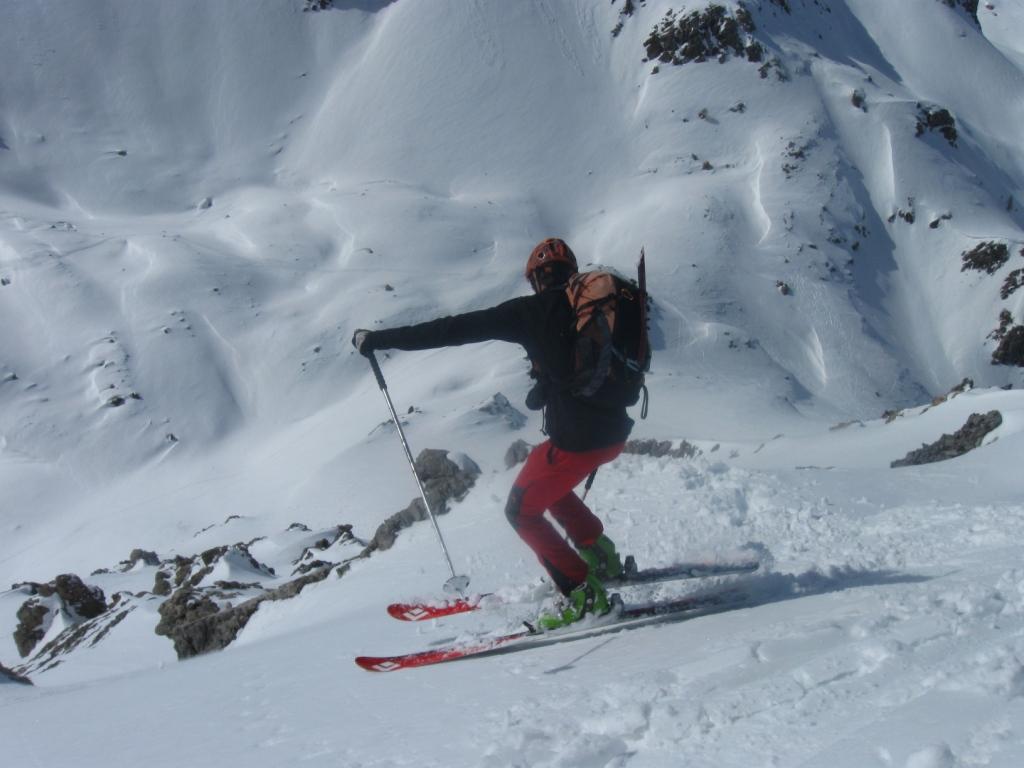
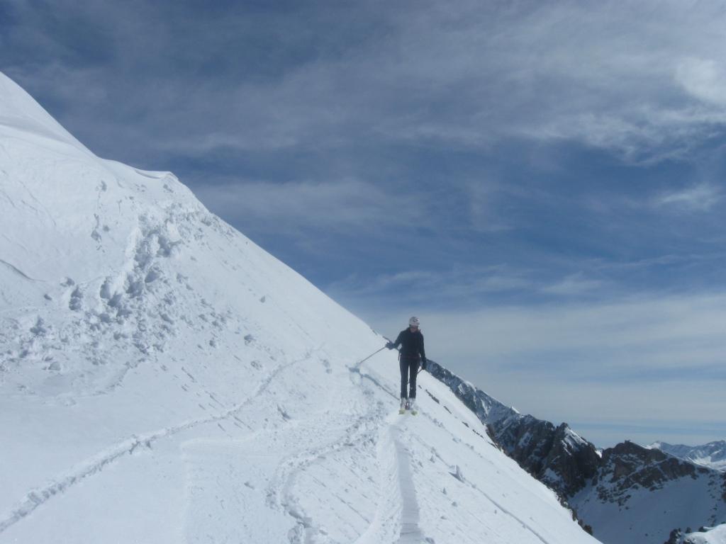
Da qui 2 possibilità: salire il canale N e scendere “en boucle” oppure proseguire in direzione della Colletta Vittorio-la Repiatetta (girare intorno, in senso antiorario, alla parete) e portarsi sotto la parete Ovest. Risalire il pendio seguendo il profilo della cresta oppure individuare uno dei canalini e risalirlo sino alla vetta.
- Cartografia:
- Esquiar en Val Maira 1:20.000 di Bruno Rosano
- Bibliografia:
- Esquiar di Bruno Rosano
Nelle vicinanze Mappa
Itinerari
29/03/2014 CN, Acceglio D+ 1380 m II, 4.3, E4 Nord
Vanclava (Monte) o Tète de Vauclave Canale N
 0m
0m
21/02/2016 CN, Acceglio D+ 1178 m 3.1, E1 Nord
Emanuel (Colletto) da Chialvetta
 0m
0m
10/03/2012 CN, Acceglio D+ 1130 m III, 5.1, E4 Nord-Ovest
Cassin (Bric) Cresta O e Parete NO, Mairaravis
 0m
0m
30/03/2008 CN, Acceglio D+ 1370 m II, 4.3, E3 Nord
Vanclava (Monte) o Tète de Vauclave Parete E/NE
 0m
0m
08/04/2025 CN, Acceglio D+ 1600 m II, 5.3, E3 Nord
Oronaye (Monte) Canale della Forcella
 0m
0m
26/02/2021 CN, Acceglio D+ 1225 m I, 4.1, E2 Sud-Est
Auto Vallonasso quota 2758 m Canale S/SE
 0m
0m
12/05/2024 CN, Acceglio D+ 1180 m II, 4.1, E1 Sud-Est
Cobre, cima Sud Canale SE
 0m
0m
07/01/2017 CN, Acceglio D+ 1475 m III, 4.1, E2 Nord
Scaletta (Monte) Canale Nord
 0m
0m
22/02/2025 CN, Acceglio D+ 1180 m I, 4.1, E1 Nord
Cobre, cima Sud Canale Nord
 0m
0m
13/04/2019 CN, Acceglio D+ 1261 m I, 4.3, E3 Est
Freid (Monte) Canale E
 0m
0m
Servizi
0m
0m
Rolando Ristorante
Acceglio
50m
Chialvetta Rifugio
Acceglio
100m
Della Gardetta Rifugio
Acceglio
1.7Km
La Barmo Ristorante
Acceglio
2.2Km
Viviere Rifugio
Acceglio
2.5Km
Le Marmotte Ristorante
Acceglio
3Km
Alpi Cozie Albergo
Acceglio
3Km
Londra Albergo
Acceglio
3.1Km