350m
350m


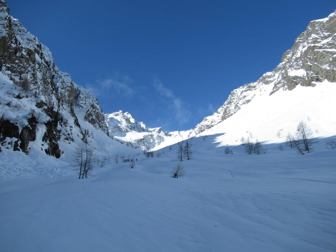
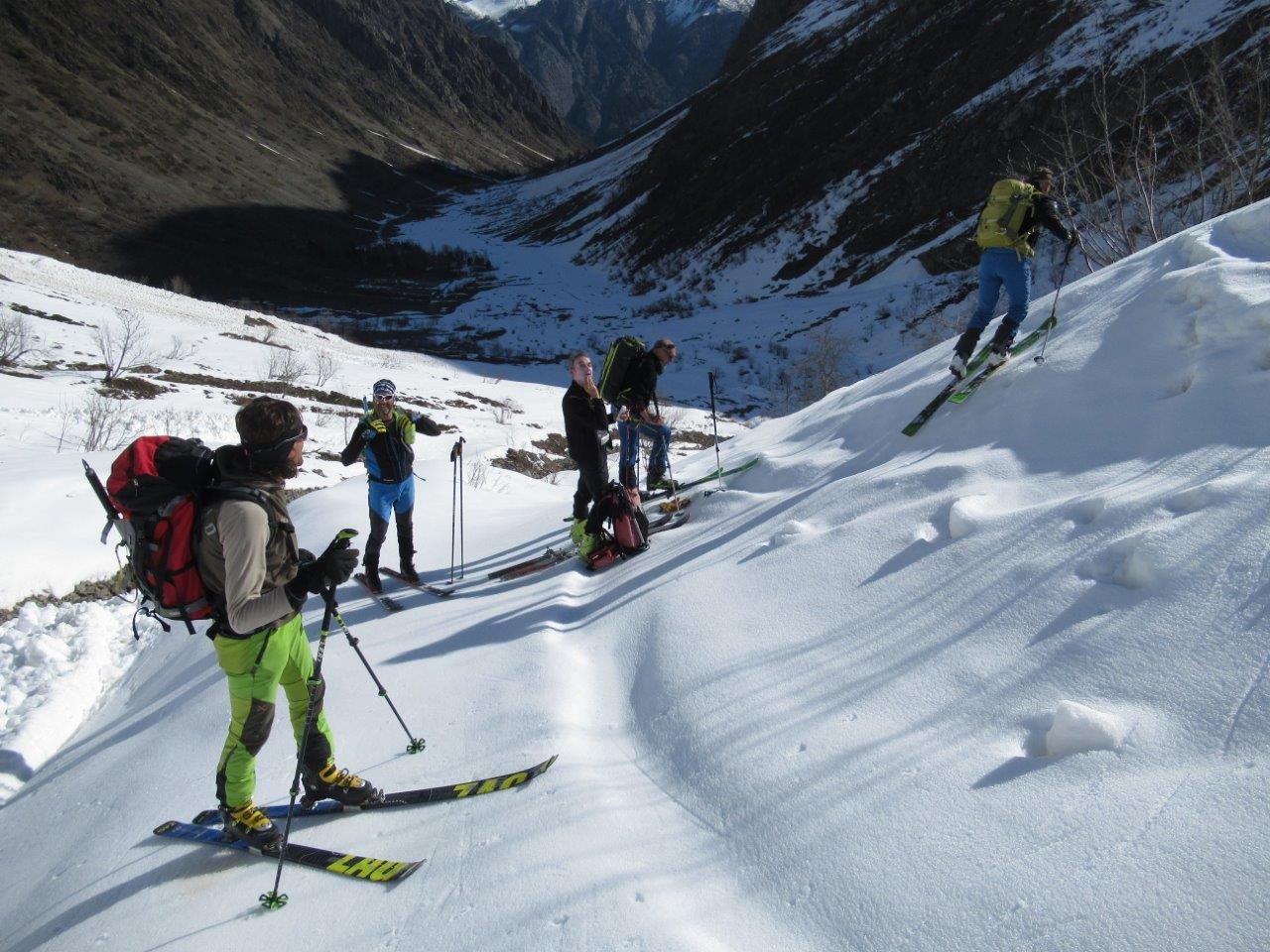
Avvicinamento
 0m
50m
50m
50m
50m
50m
50m
50m
50m
50m
0m
50m
50m
50m
50m
50m
50m
50m
50m
50m
350m
1.9Km
2.2Km
4.4Km
4.8Km
6.2Km
6.3Km
6.6Km
6.9Km
7.1Km
.
Descrizione
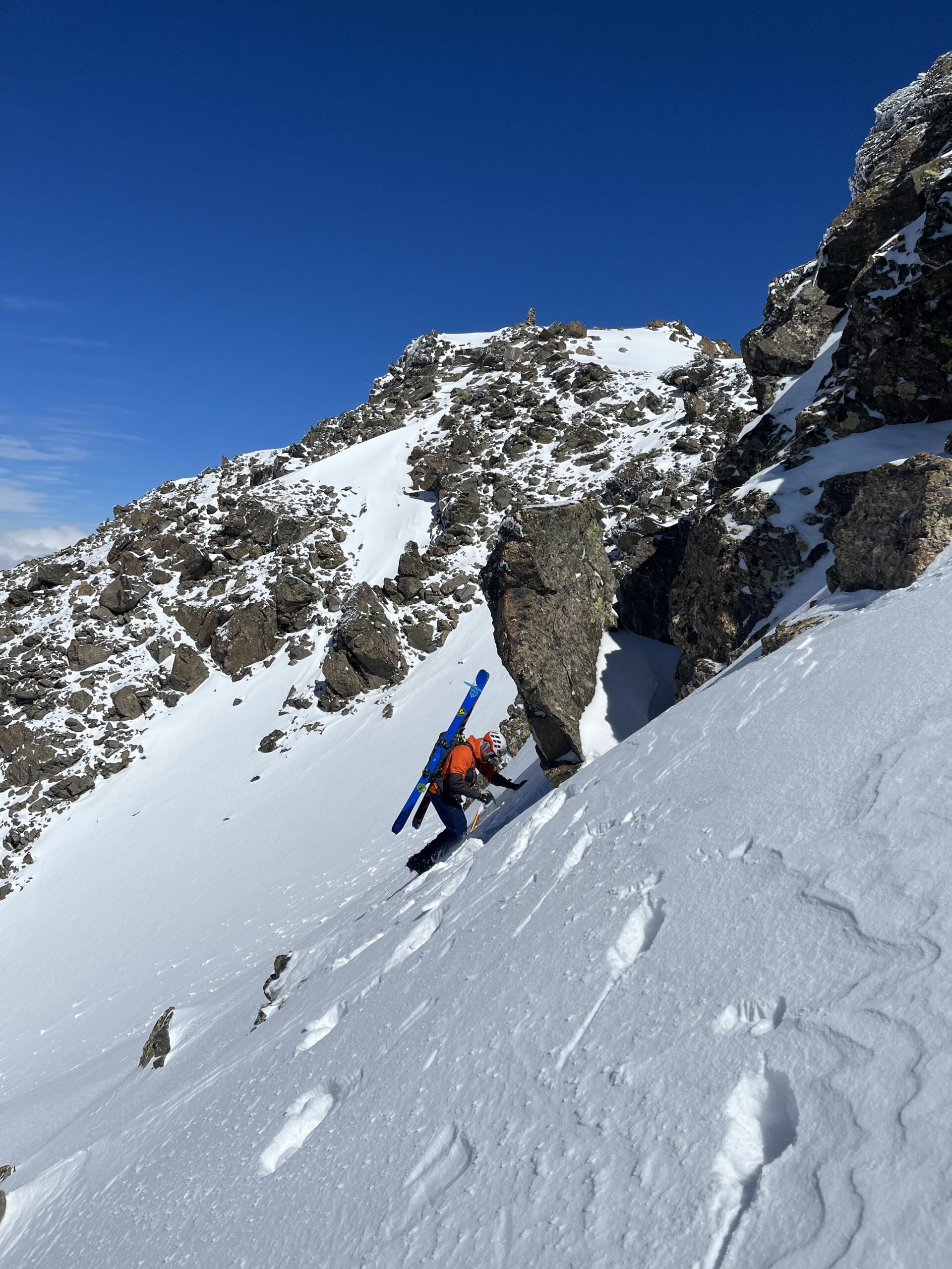
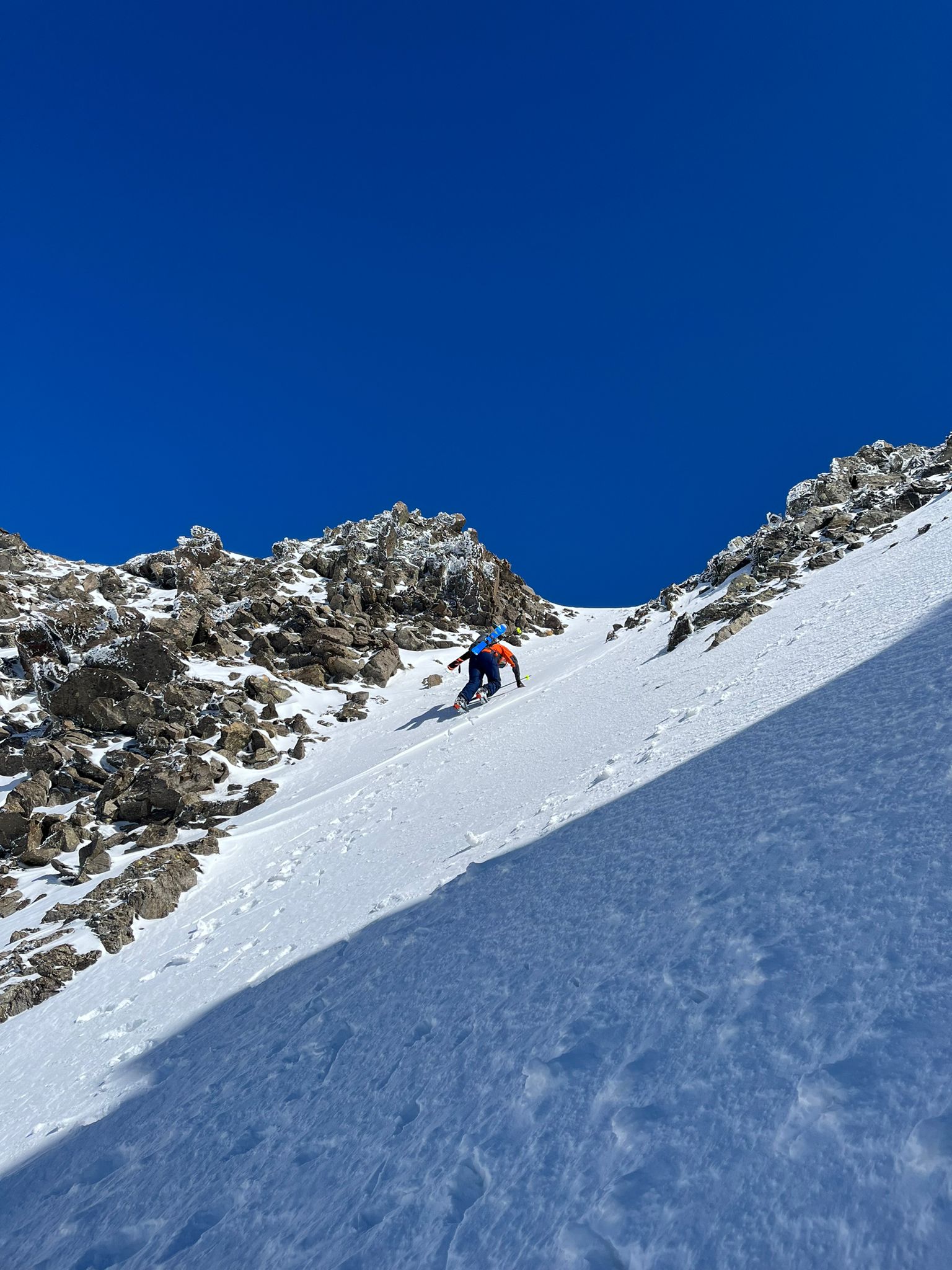
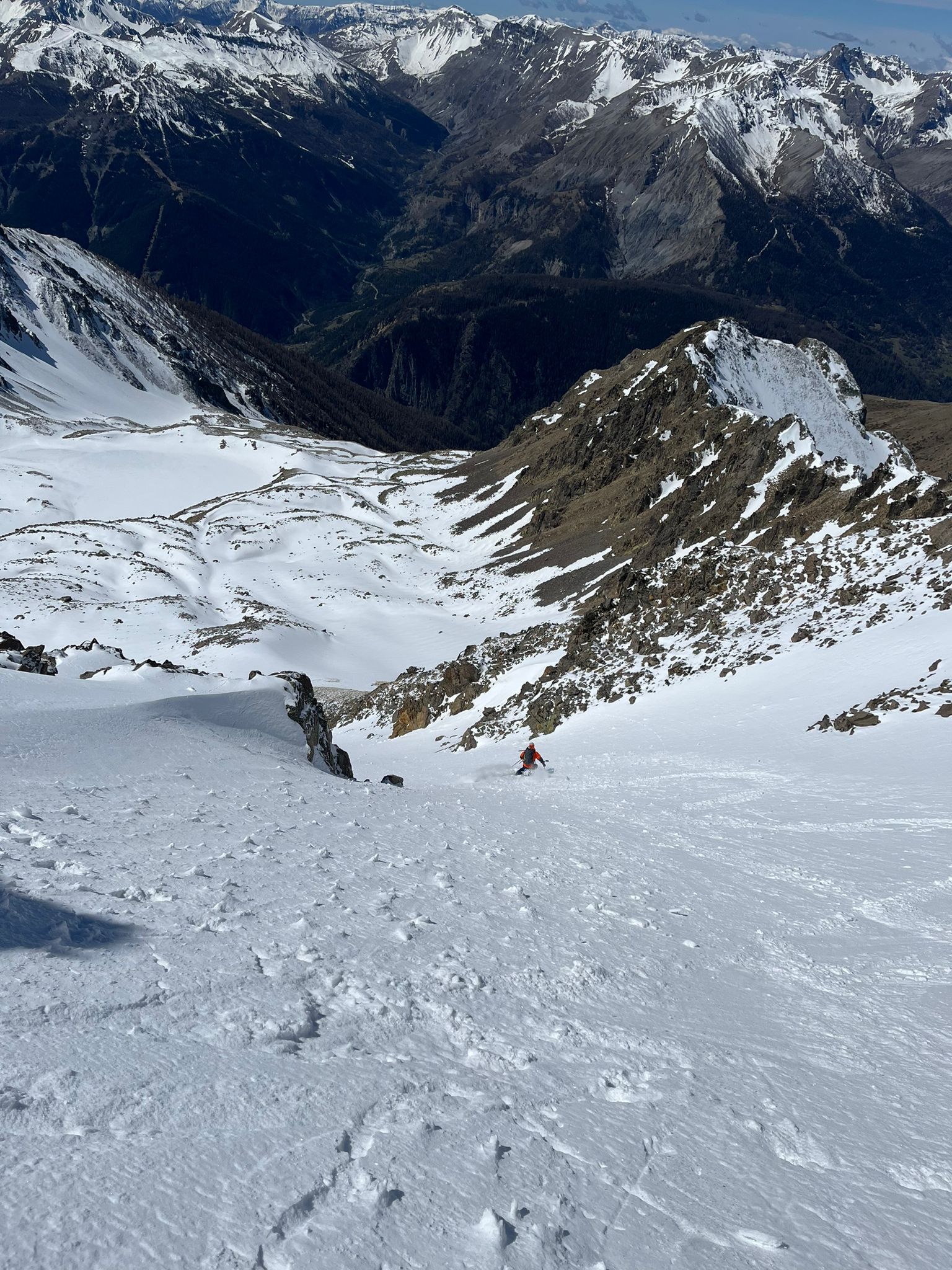
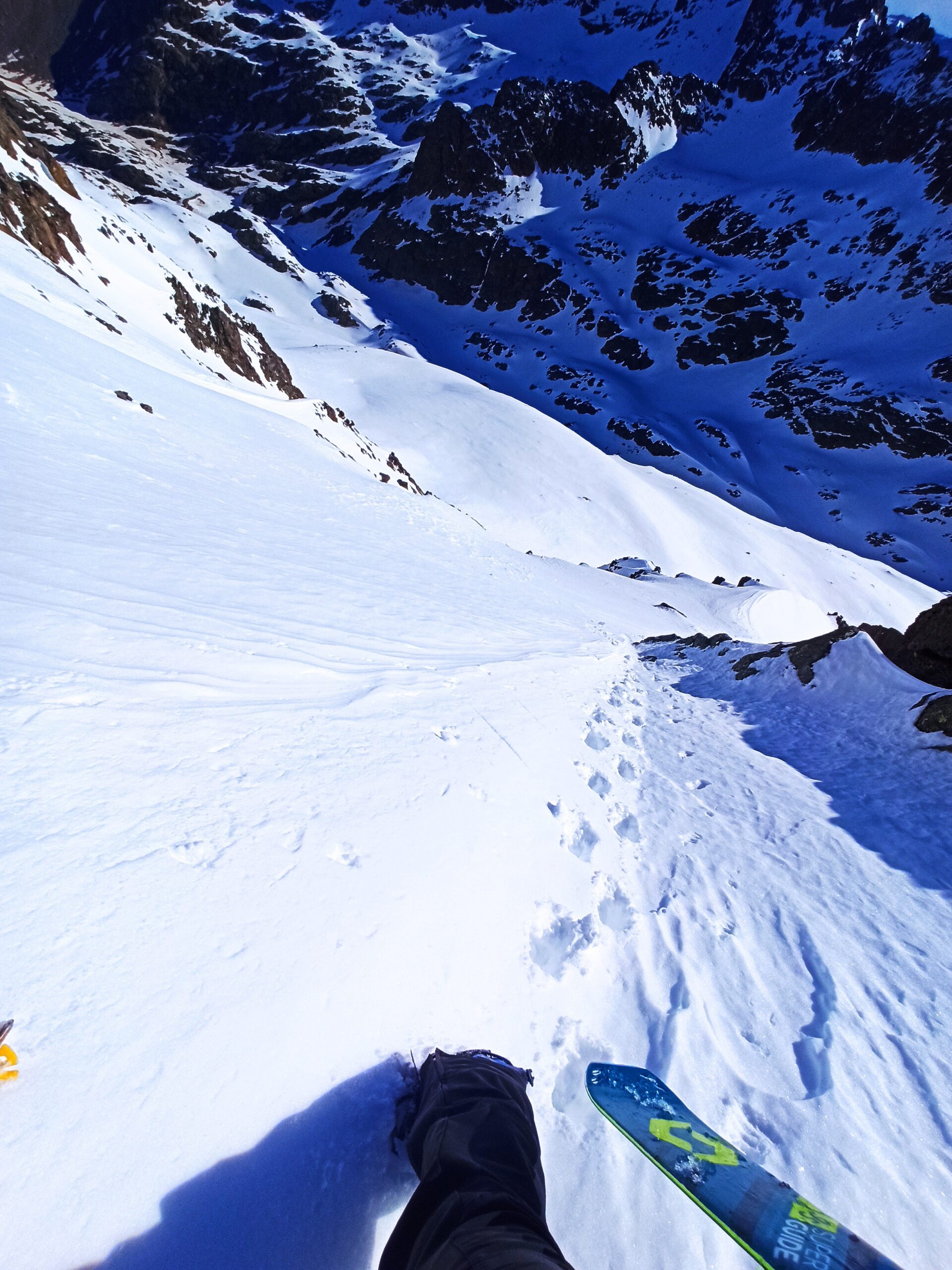
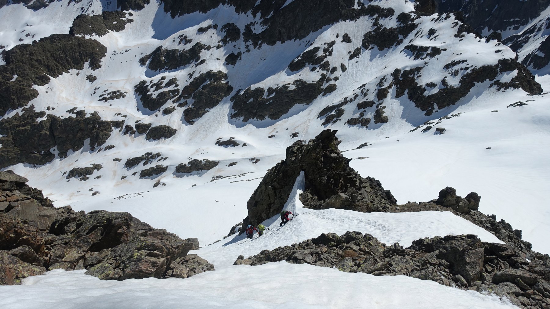
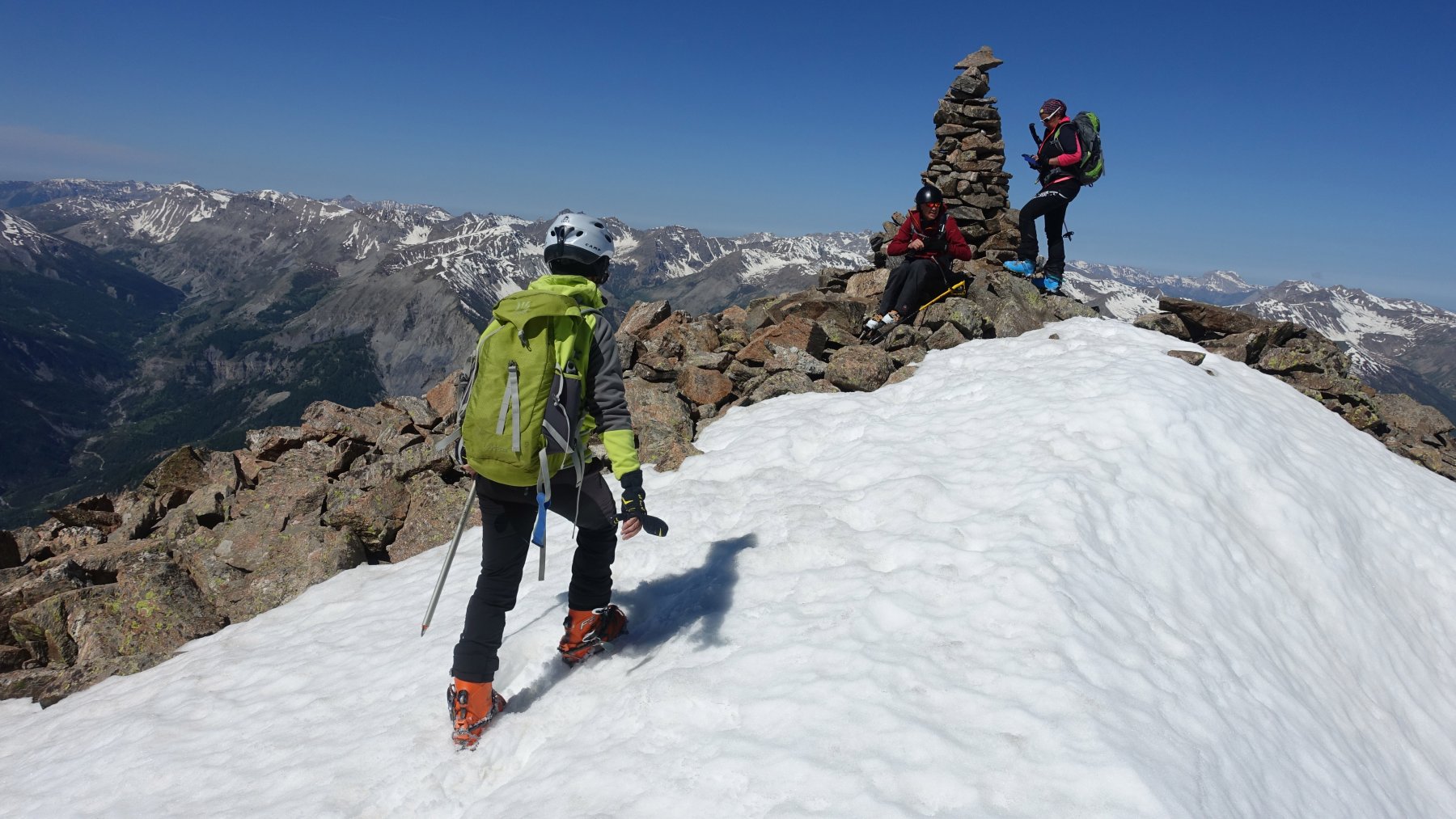
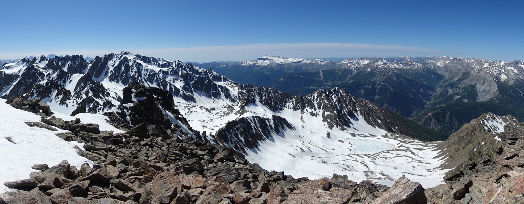
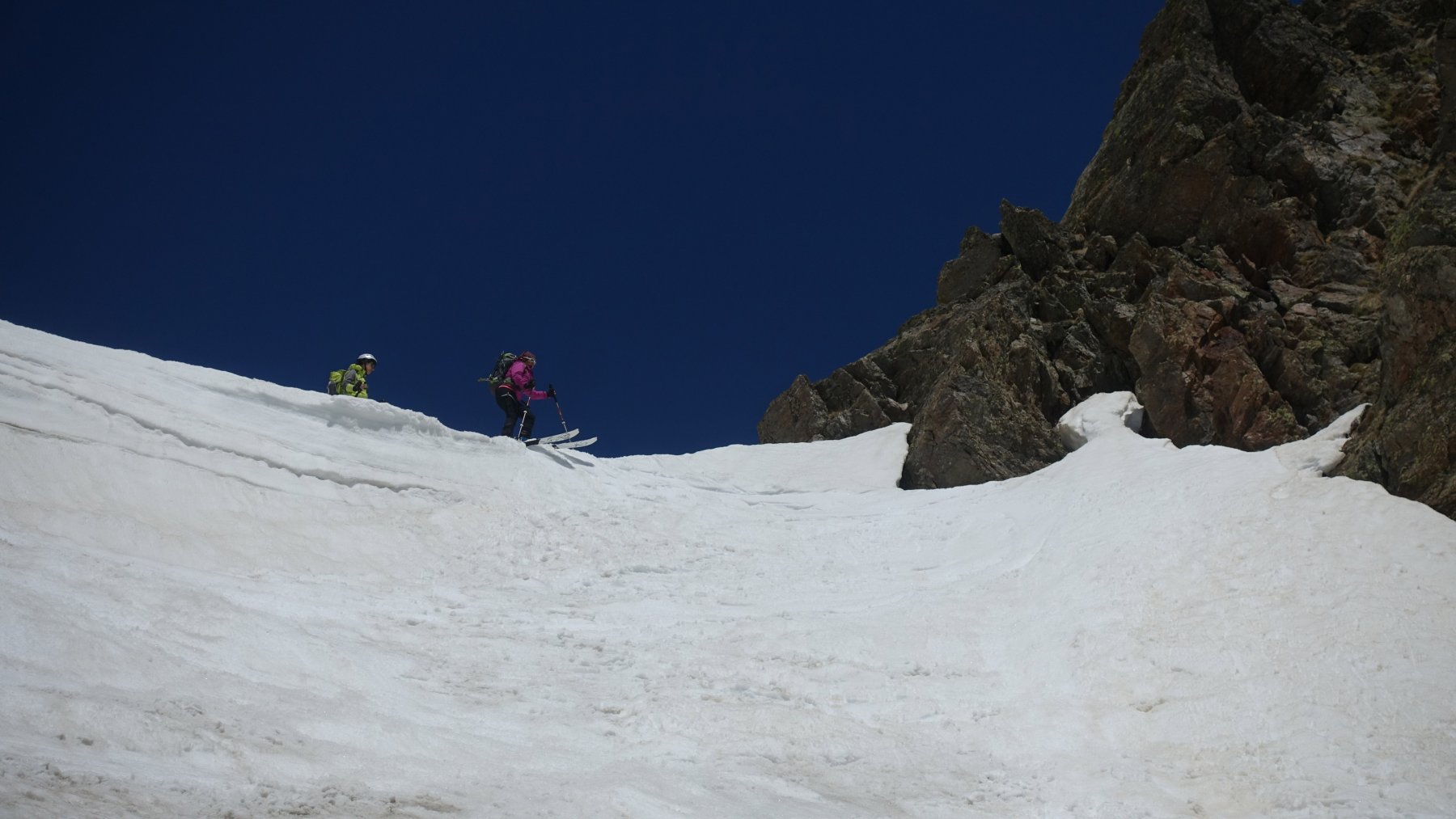
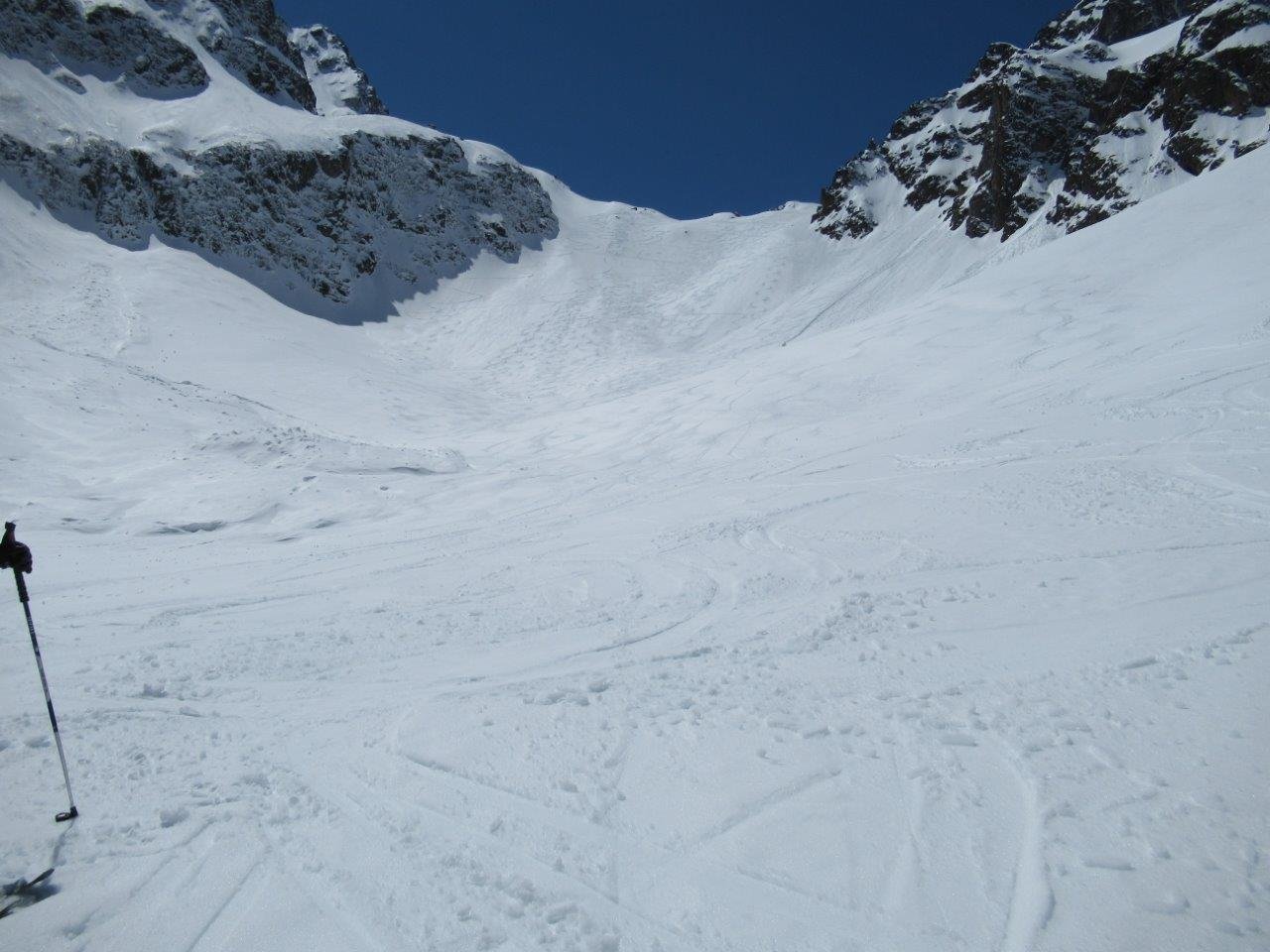
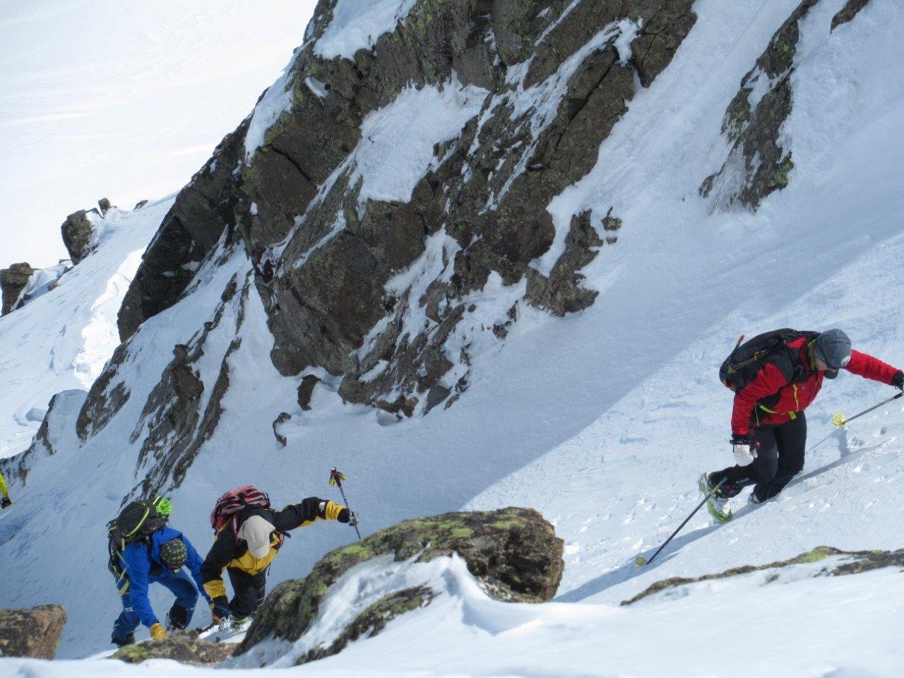
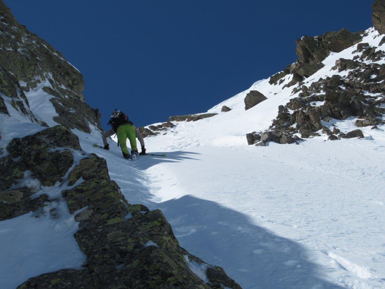
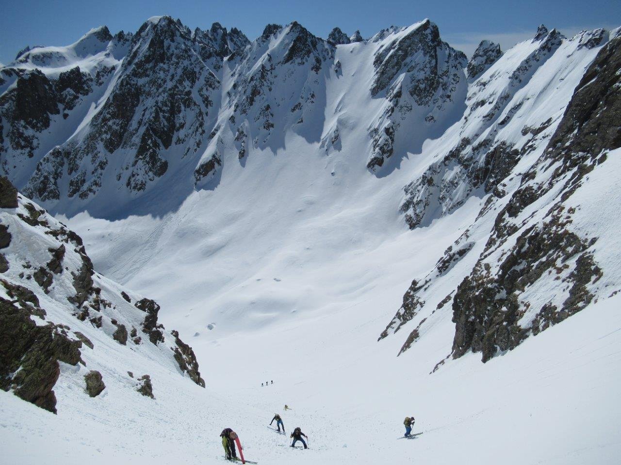
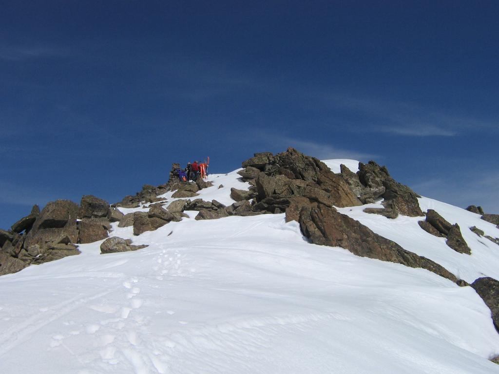
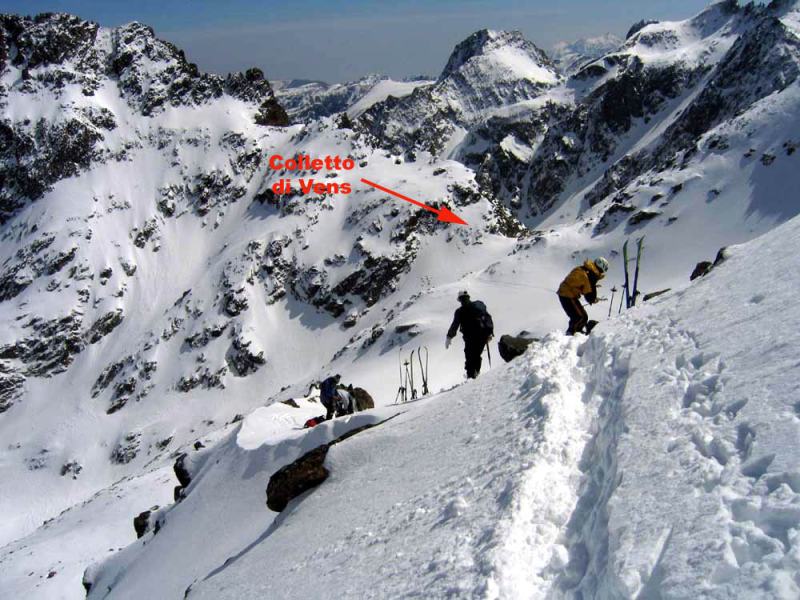
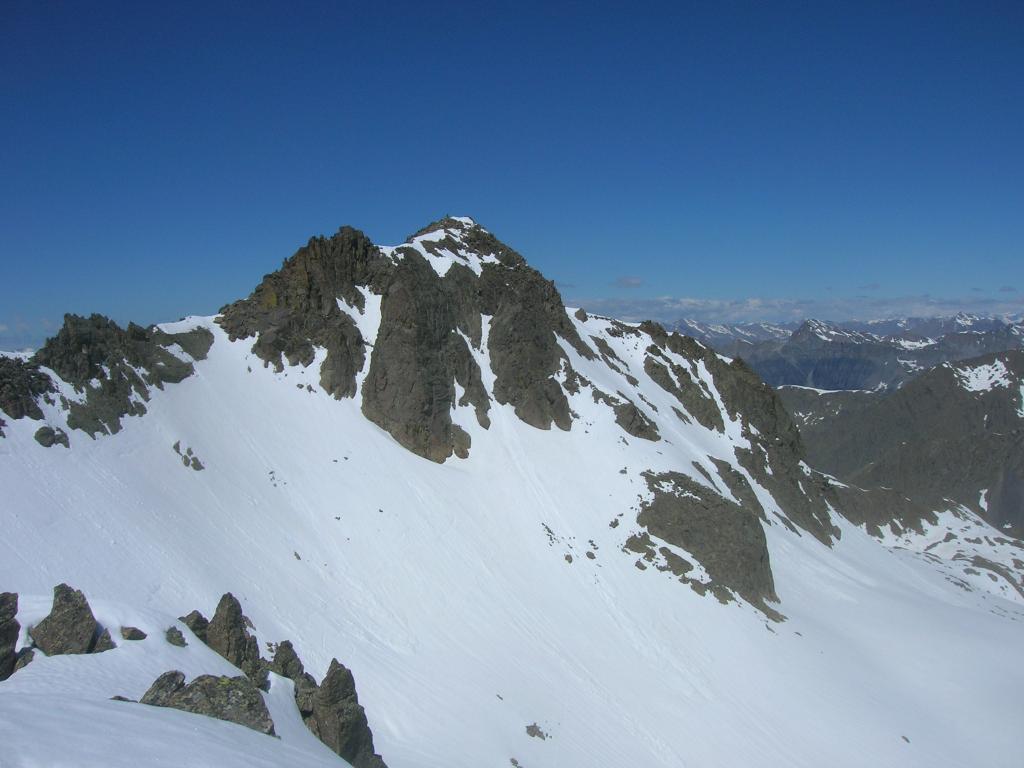
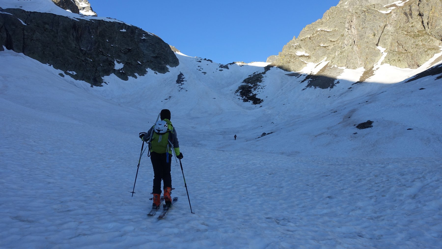
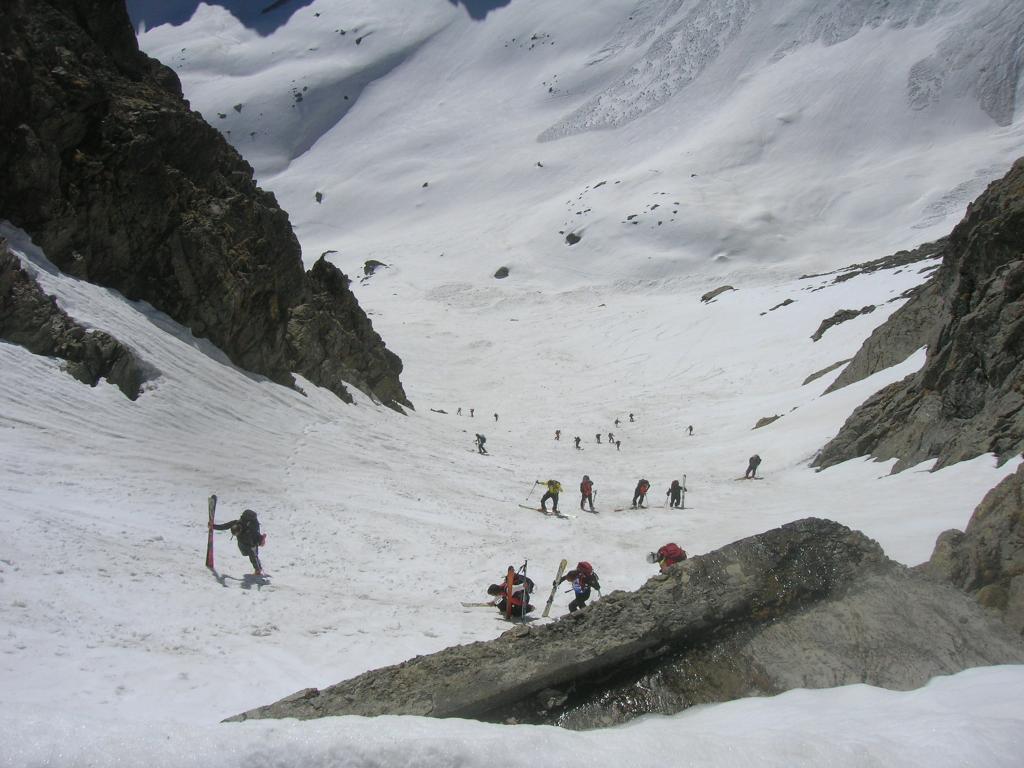
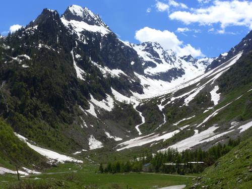
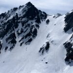
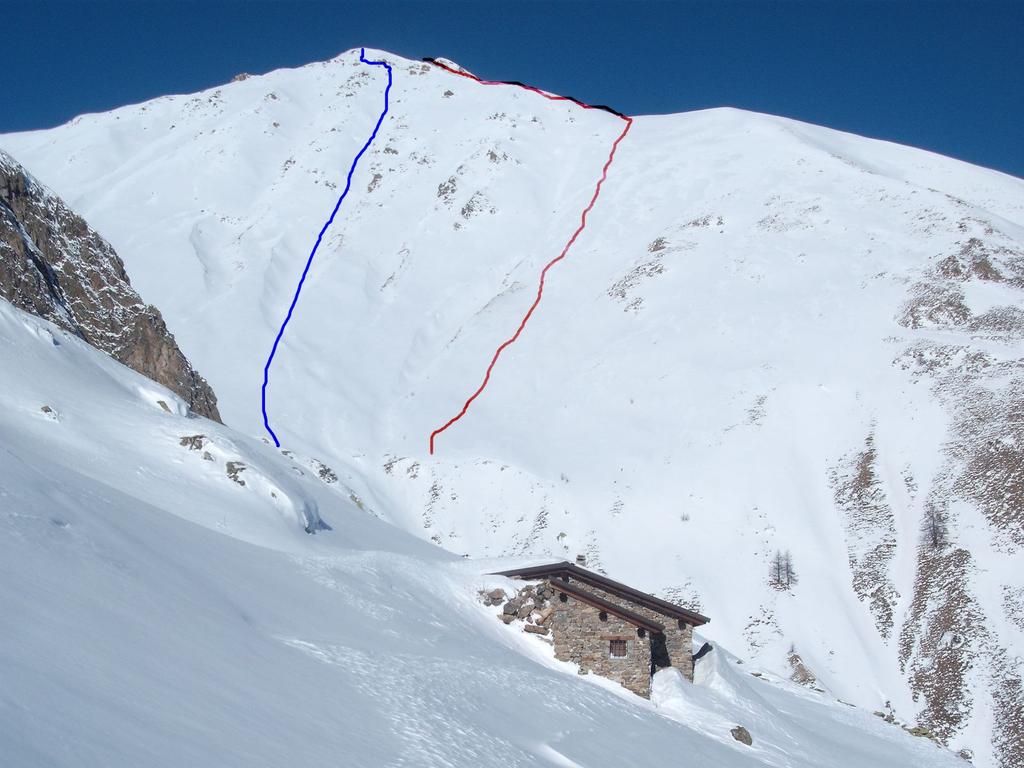
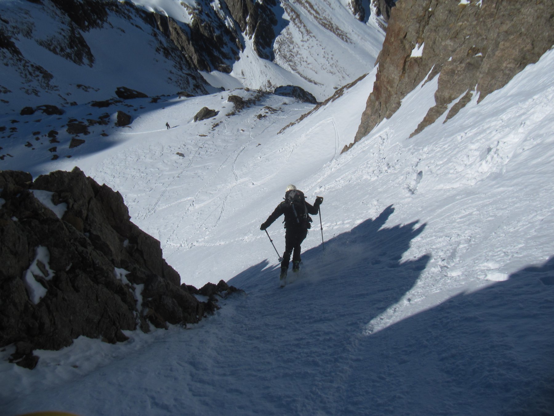
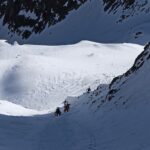
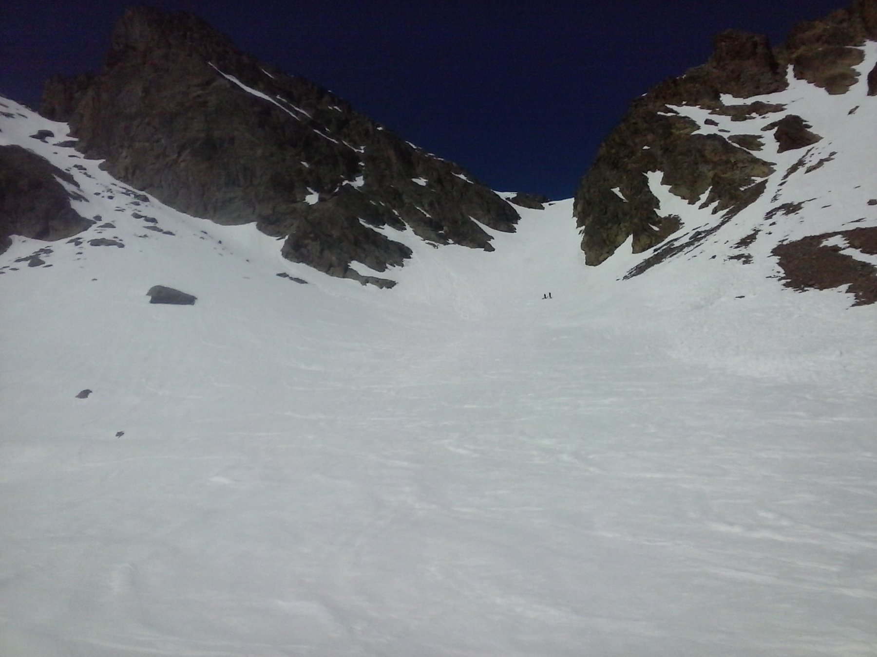
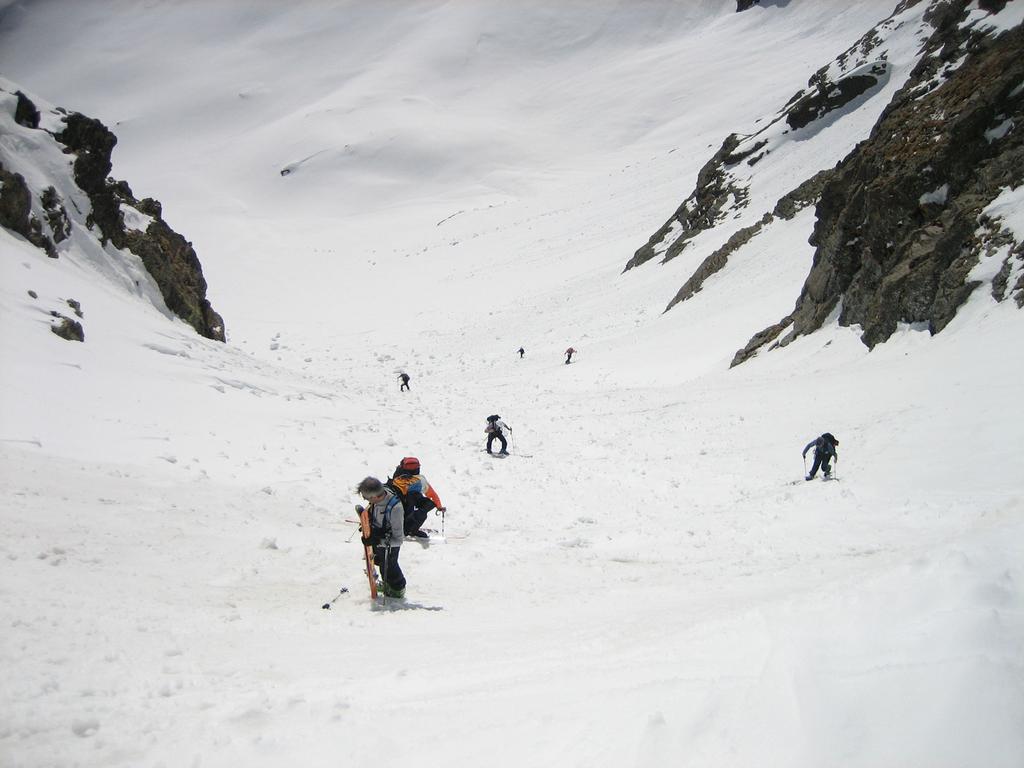
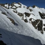
Si sale tutto il vallone di Pontebernardo superando i prati del Vallone per giungere al ripiano superiore sottostante il passo di Vens. Si risale quindi il ripido pendio/canale (a destra, di fronte all’itinerario per il colle della Lausa). Arrivati al Colle di Vens (2796 m) si traversa orizzontalmente sotto la cima Borgonio e la Tete de Lacs Marie per immettersi dapprima sulla parete sud-ovest del Clai Superior e poi nel canalino ovest, molto breve ma esposto e stretto (max 40 gradi). Arrivati sulla cresta con pochi passi verso destra si perviene sulla cima.
- Bibliografia:
- J. C. Campana, alpi marittime, n° 58
Nelle vicinanze Mappa
Itinerari
12/06/2013 CN, Pietraporzio D+ 1159 m BSA Nord-Est
Vens (Cima nord di) da Pontebernardo
 0m
0m
09/05/2021 CN, Pietraporzio D+ 2050 m BSA Tutte
Clai Superieur da Pontebernardo, anello per il passo Vallonetto e l’Ubac
 50m
50m
24/05/2026 CN, Pietraporzio D+ 1618 m BS Nord-Est
Borgonio (Cima) da Pontebernardo
 50m
50m
12/01/2013 CN, Pietraporzio D+ 1380 m BS Sud-Est
Verde (Rocca) da Pontebernardo per il versante SE
 50m
50m
24/05/2026 CN, Pietraporzio D+ 1700 m BS Nord-Est
Lausa (Cima della) da Pontebernardo
 50m
50m
24/05/2026 CN, Pietraporzio D+ 1600 m BSA Nord-Est
Piz (Becco Alto del) da Pontebernardo
 50m
50m
23/05/2026 CN, Pietraporzio D+ 1651 m OSA Nord
Vallone (Testa del) da Pontebernardo
 50m
50m
14/05/2026 CN, Pietraporzio D+ 1500 m BS Varie
Vens (Passo di) da Pontebernardo
 50m
50m
25/04/2010 CN, Pietraporzio D+ 1500 m BS Varie
Vens (Passo di) da Pontebernardo, traversata a Prinardo
 50m
50m
21/05/2026 CN, Pietraporzio D+ 1679 m BS, F Nord
Ubac (Testa dell’) da Pontebernardo
 50m
50m
Servizi
350m
1.9Km
L’Oste d’oc Ristorante
Pietraporzio
2.2Km
Ostello Centosentieri Albergo
Pietraporzio
4.4Km
B&b del Villaggio B&B
Bersezio/Argentera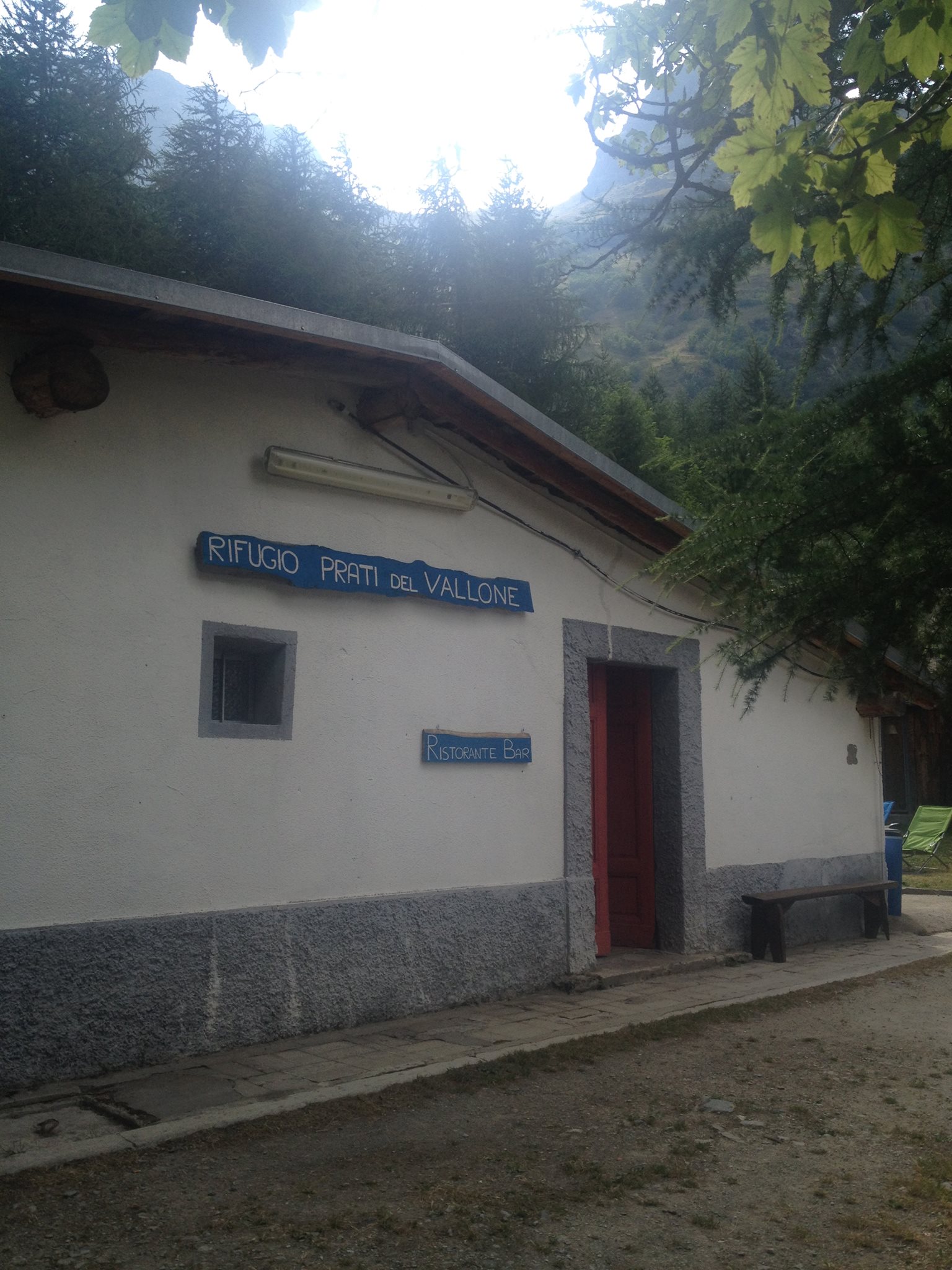 4.8Km
4.8Km
Rifugio Prati del Vallone Rifugio
Pietraporzio
6.2Km
Bruno Ristorante
Bersezio/Argentera
6.3Km
da Mo Ristorante
Bersezio/Argentera
6.6Km
Gardetta Rifugio
Canosio
6.9Km
della Pace Albergo
Sambuco
7.1Km