1° giorno: da Ailefroide salire al Refuge du Selè. L’alluvione di giugno 2024 ha eroso in parte il sentiero e occorre seguire delle nuove varianti.
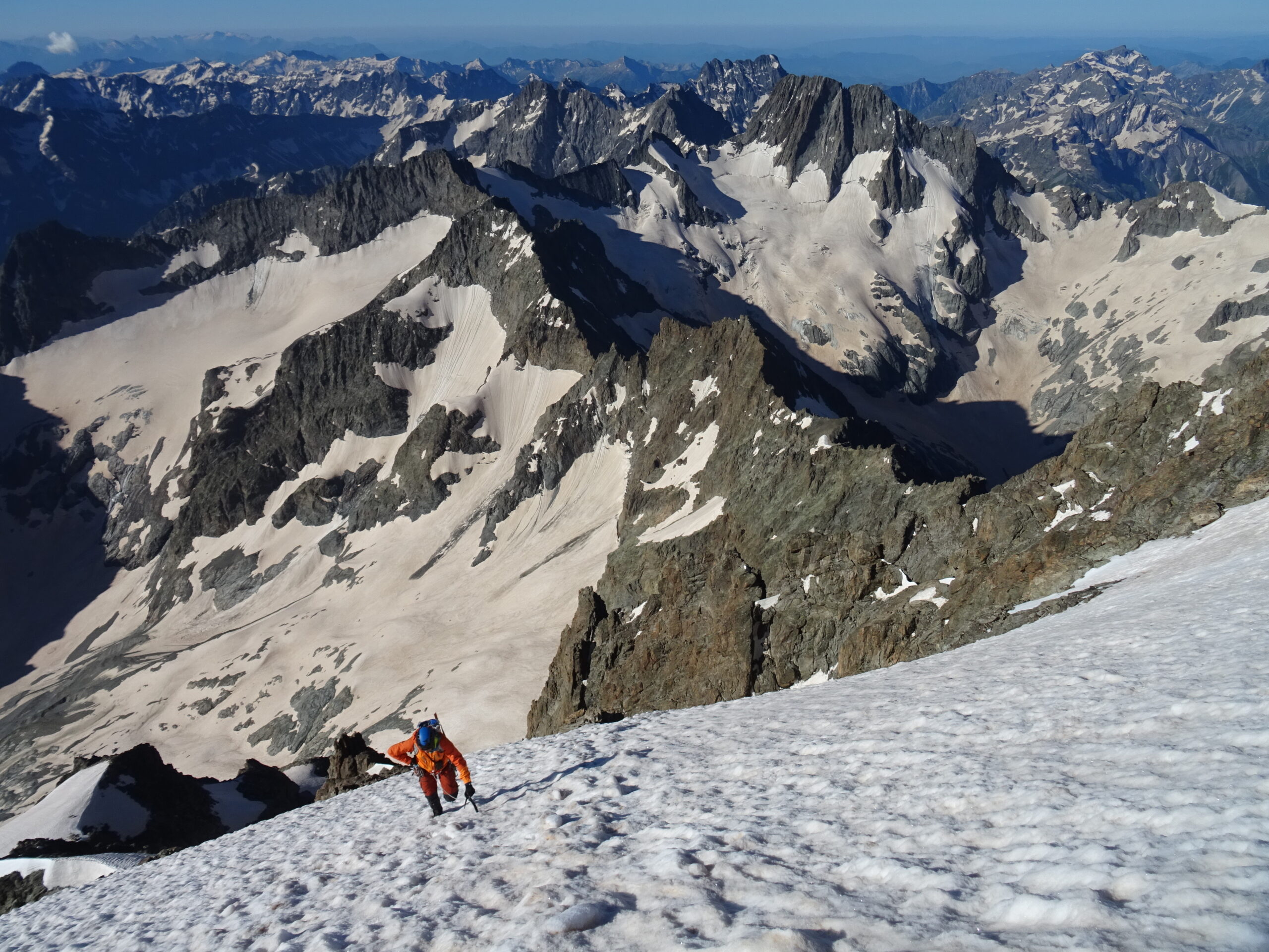
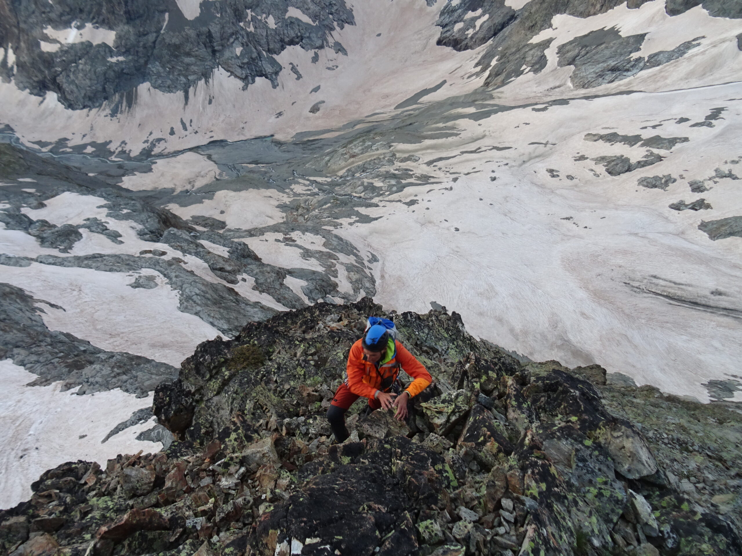
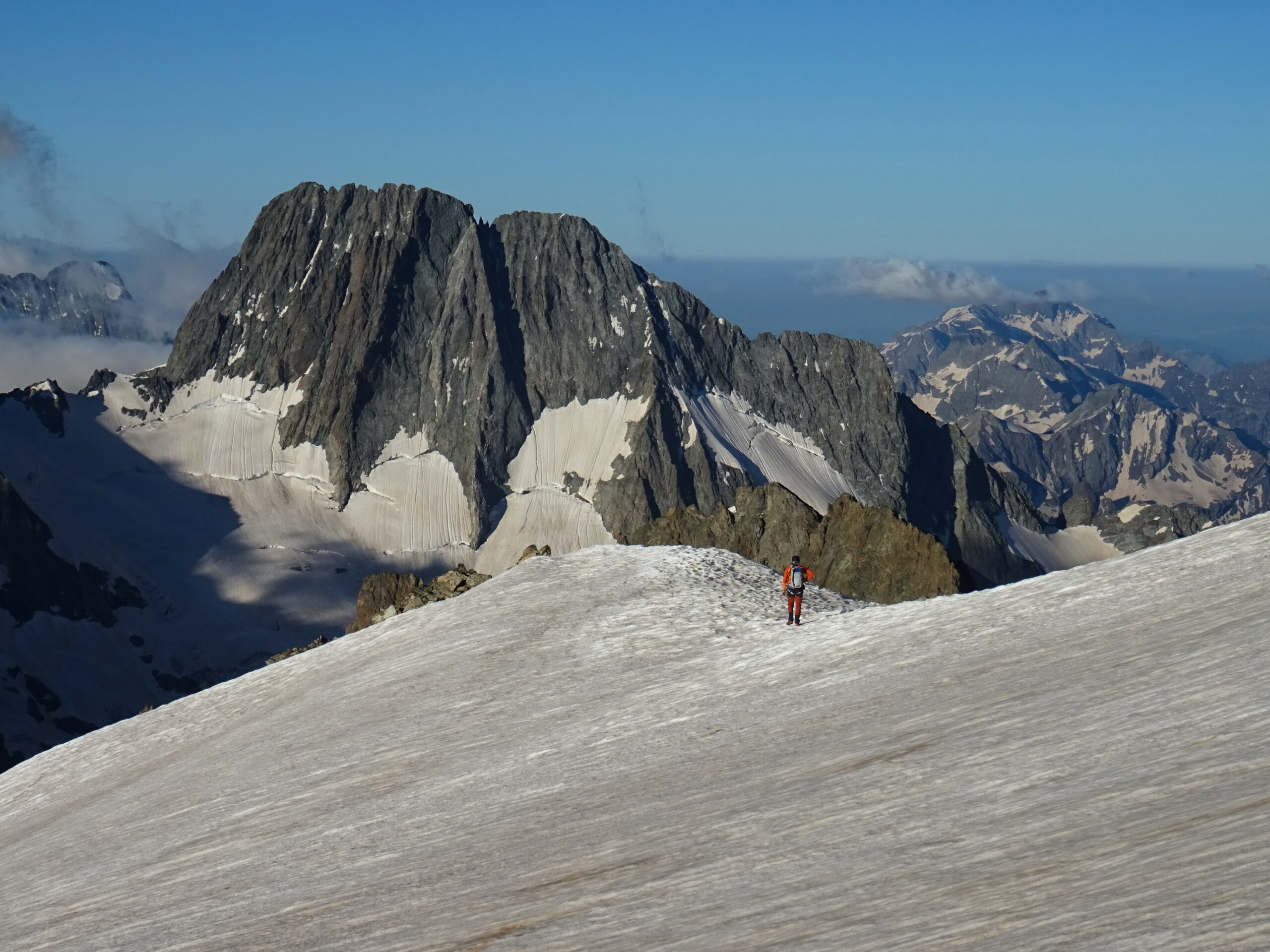
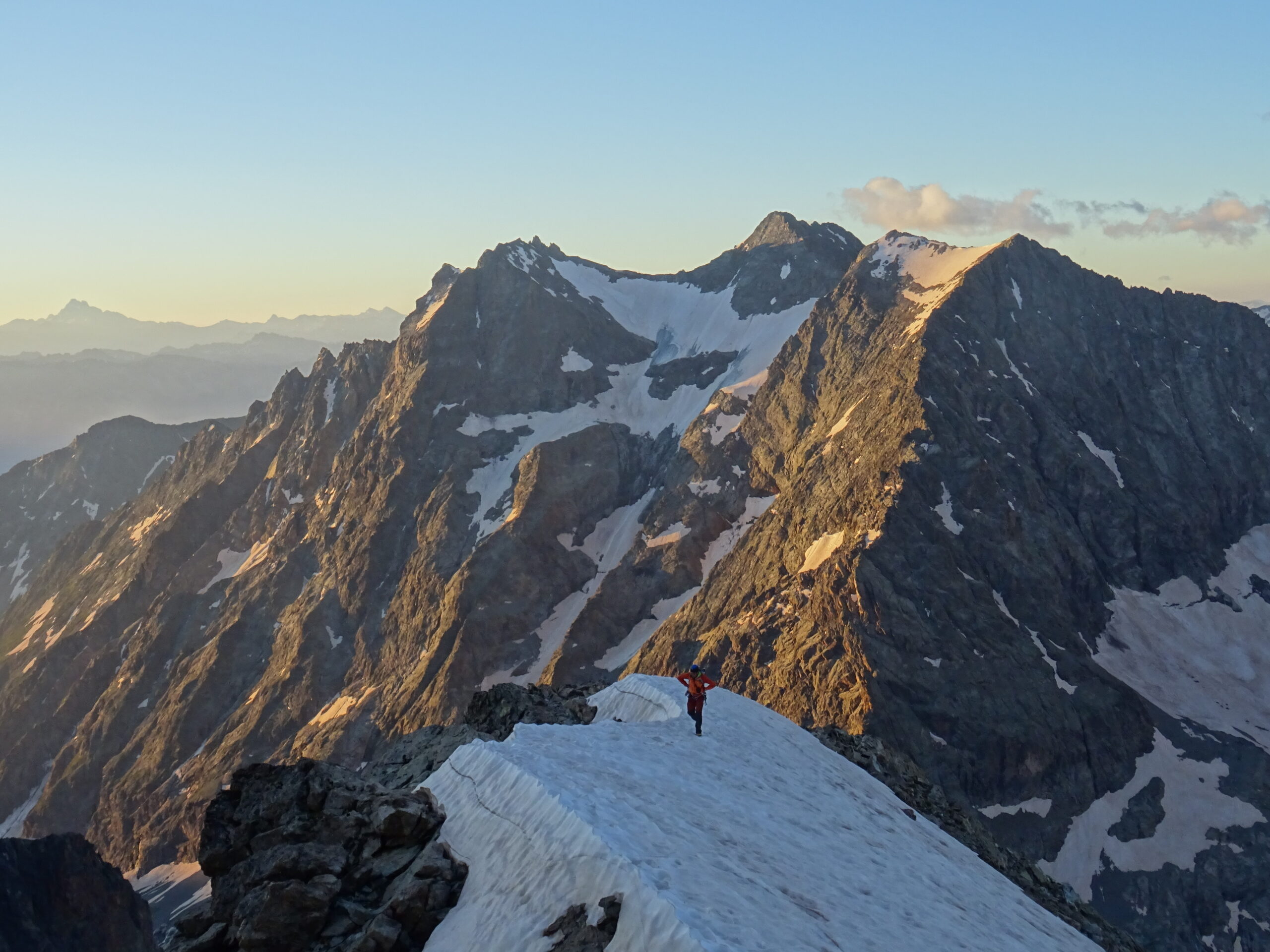
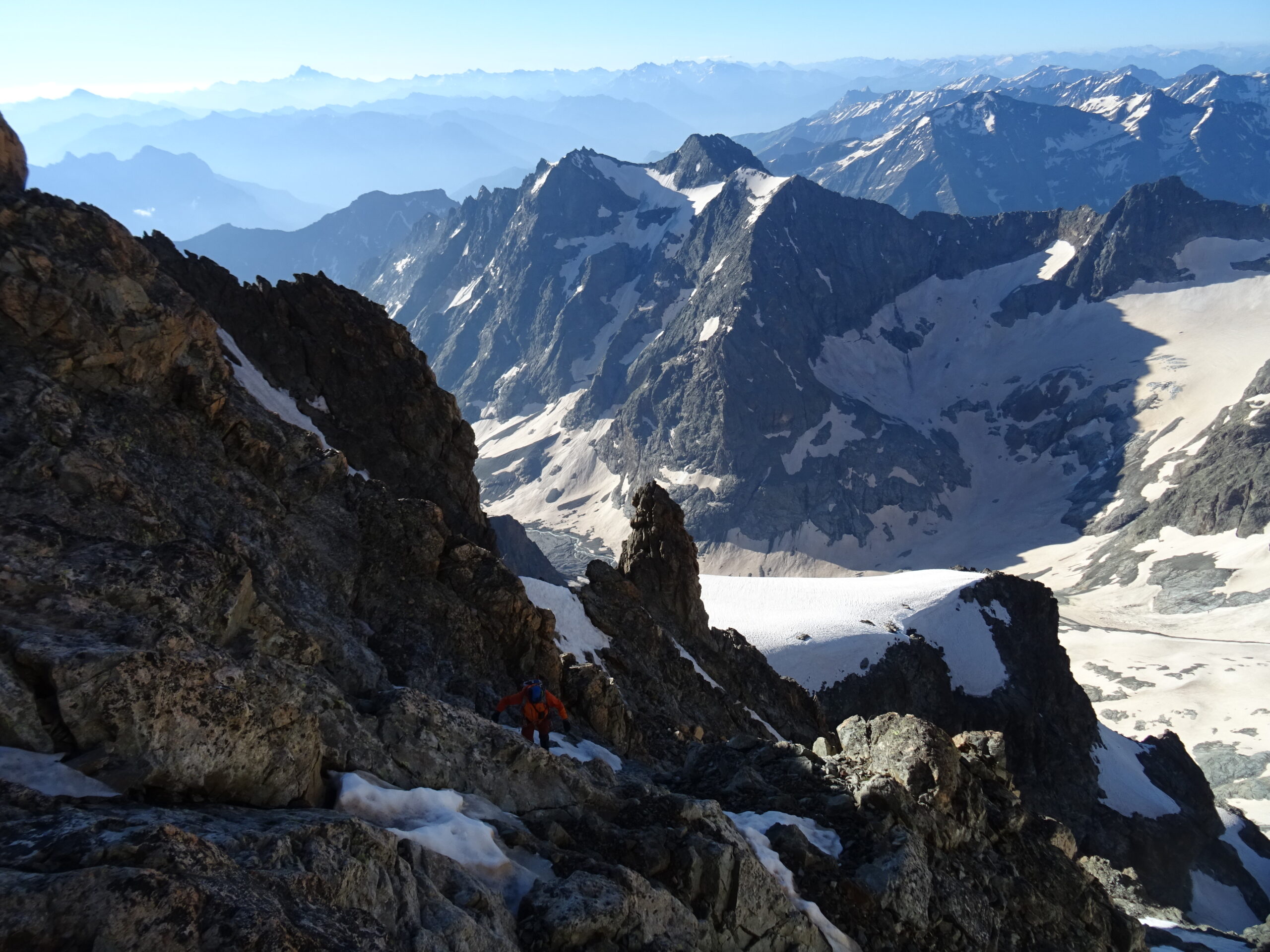
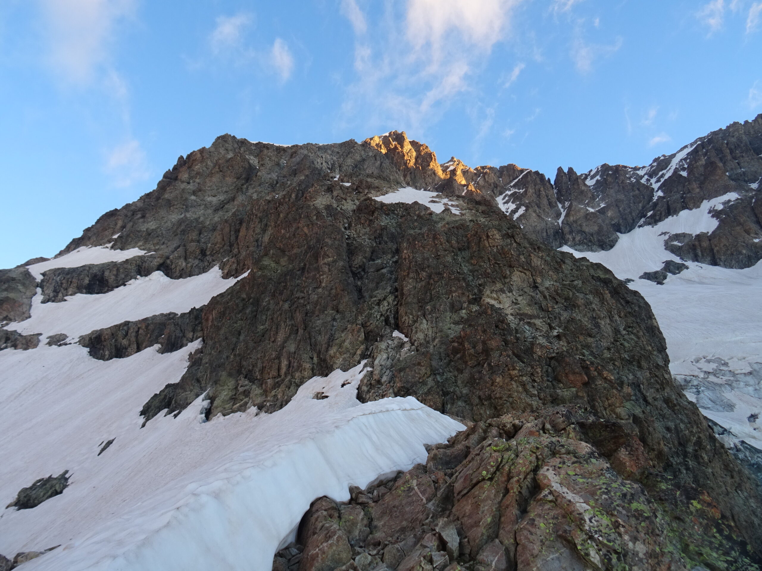
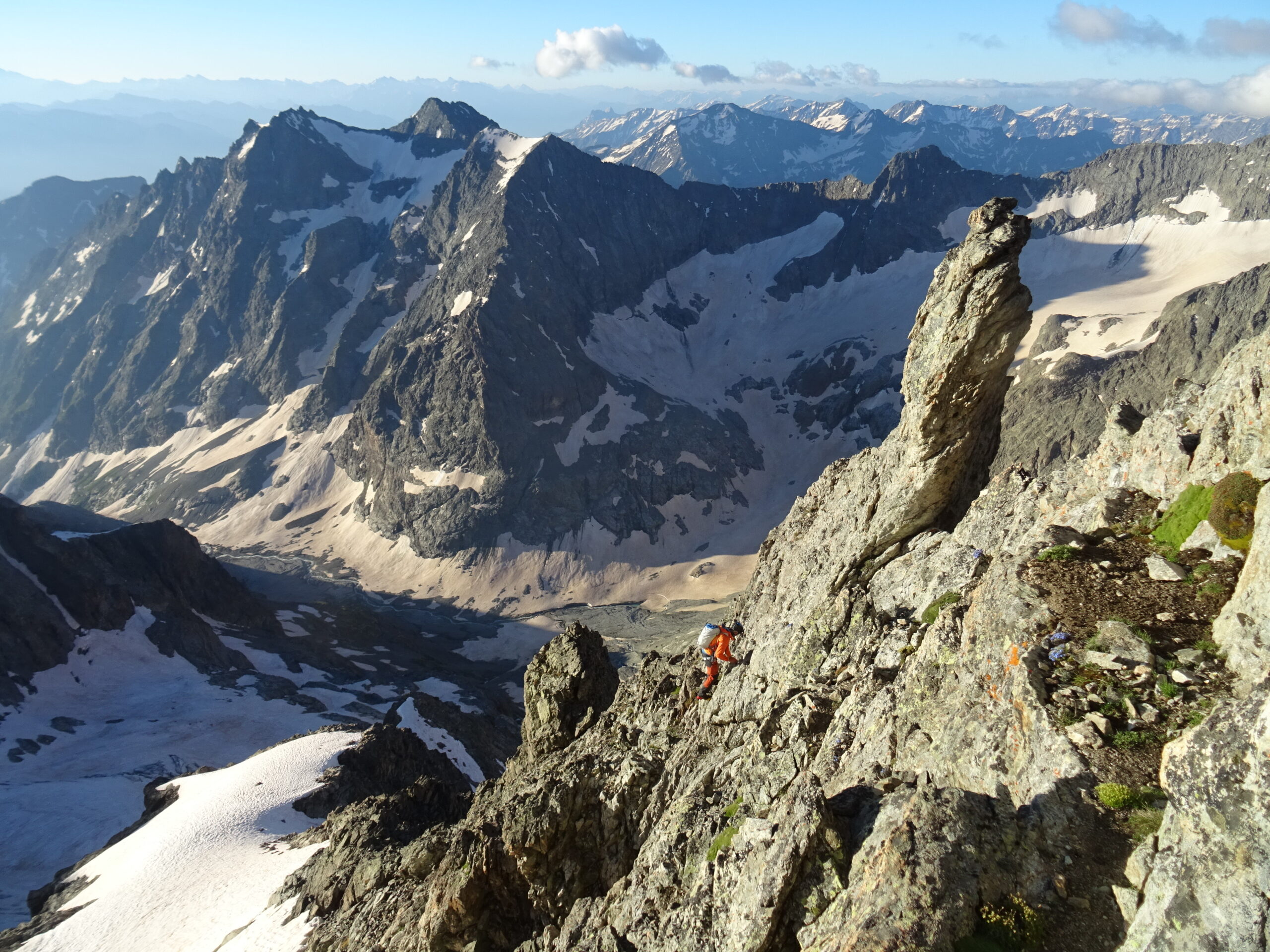
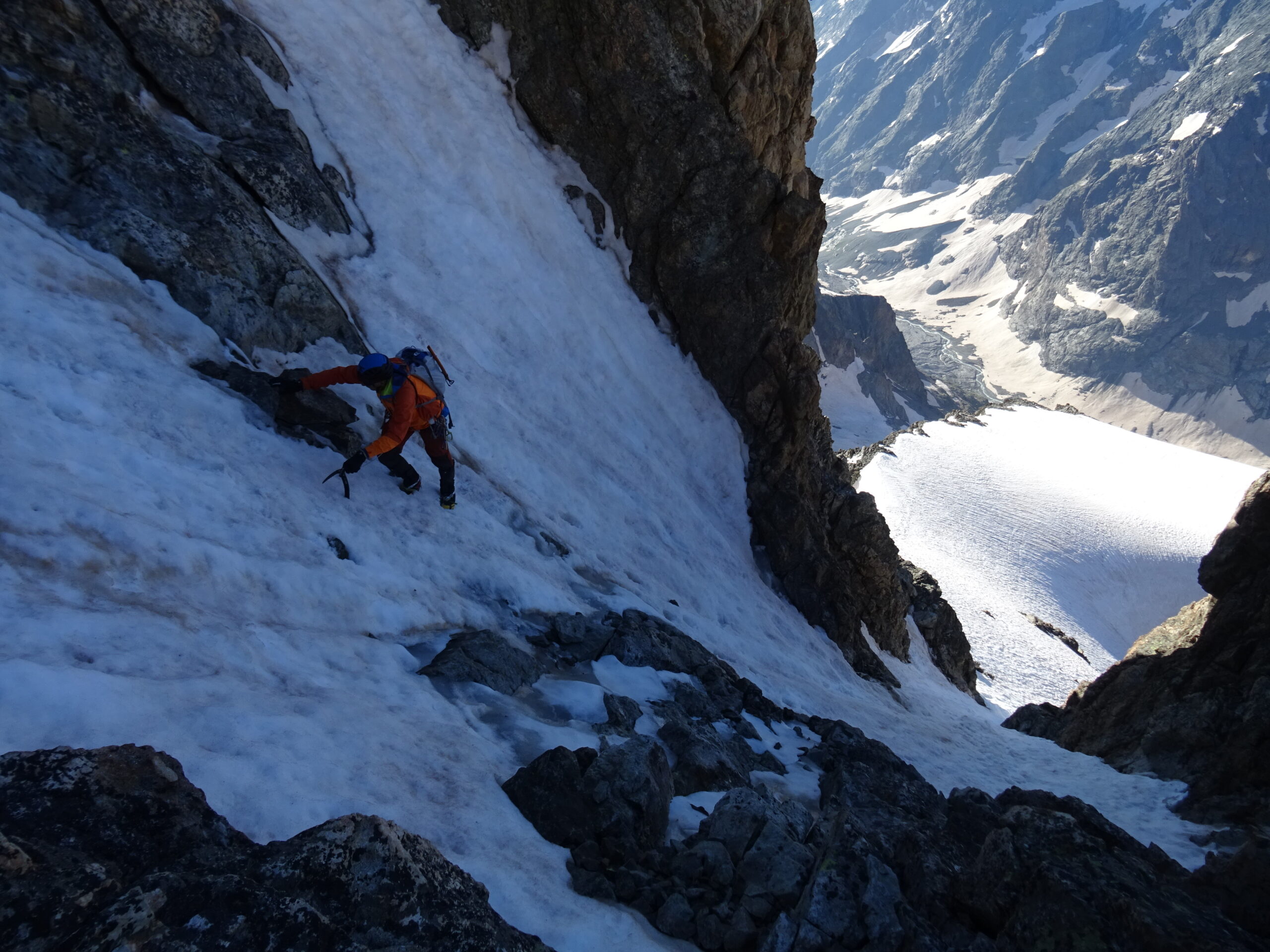
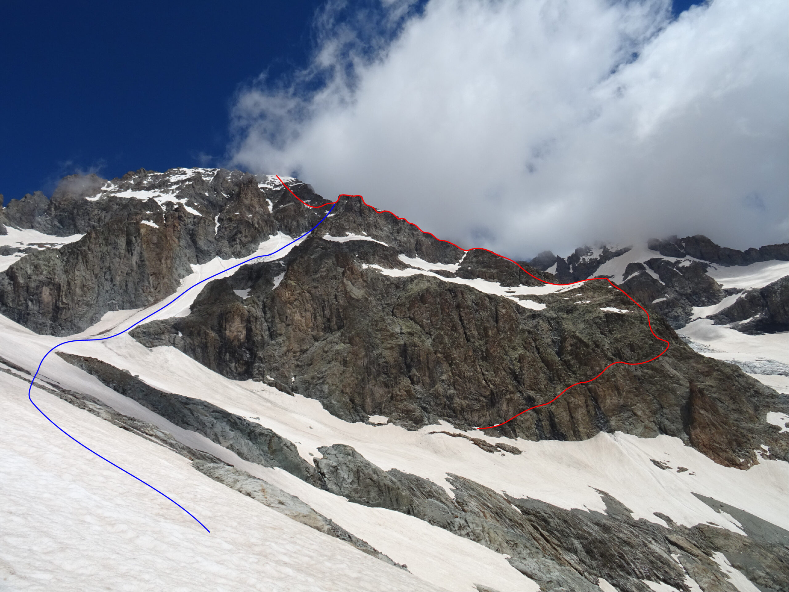
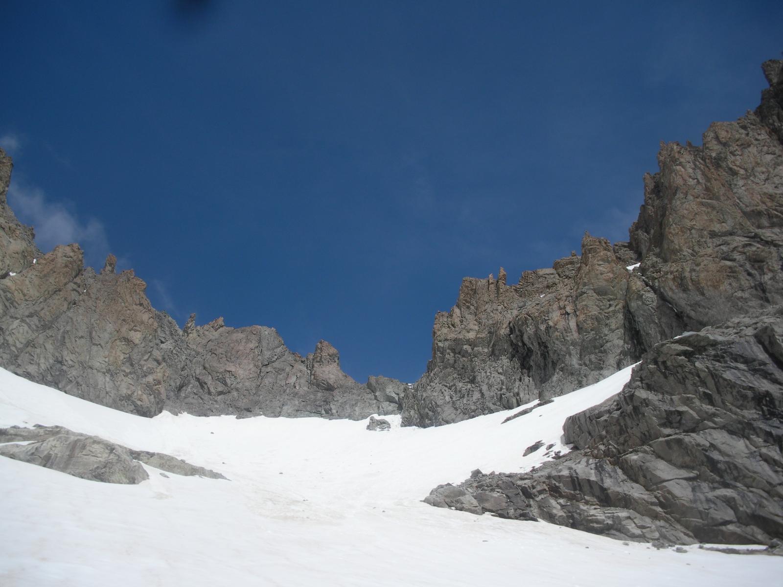
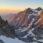
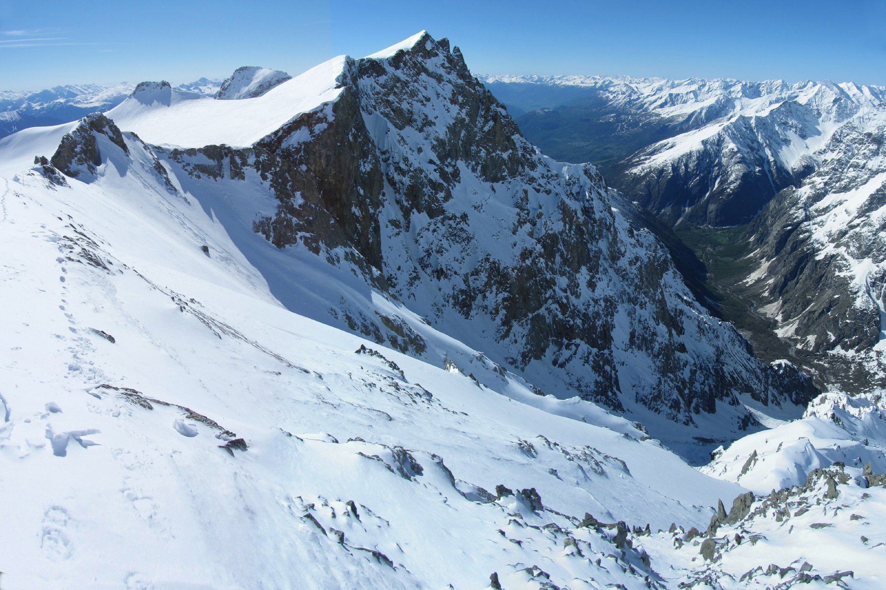
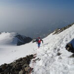
2° giorno: dal rifugio scendere nella piana verso ovest quindi costeggiare il torrente (tracce, nevai). Giunti sotto la verticale della cima salire verso nord, superando la morena prima, quindi pendii detritici o nevosi. Tenersi verso dx in direzione della muraglia rocciosa che sostiene lo sperone sud-est dal’Ailefroide occidentale. A q. 3100 m circa, a metà muraglia, individuare una cengia che taglia la parete verso dx. Imboccarla e seguirla fino al suo termina sul largo filo dello sperone. La cengia è larga e comoda e non presenta difficoltà alpinistiche, se non l’attraversamento di canalini con cascatelle che possono essere verglassati al mattino. Raggiunto lo sperone, inizialmente molto largo, lo si segue senza percorso obbligato (radi ometti). Superato un nevaio la cresta diventa più ripida e affilata, e ci si tiene leggermente lato est, nei tratti più impegnativi. Difficoltà II costante, tratti II+, passi di III. A 3649 m si mette piede su un dosso nevoso alla base del salto finale. Lo si attraversa e si imbocca un canale a sx del filo (40° in neve) che si risale fino ad un colletto a monte di un gendarmino. Si traversa ora verso sx in un altro canale più ampio che si rimonta lungamente (45 costanti tratti a 50° in neve) fino ad uscire su ripidi pendii finali (40°). A stagione inoltrata si segue la stessa via o si possono risalire gli speroni a fianco dei canali (ometti).
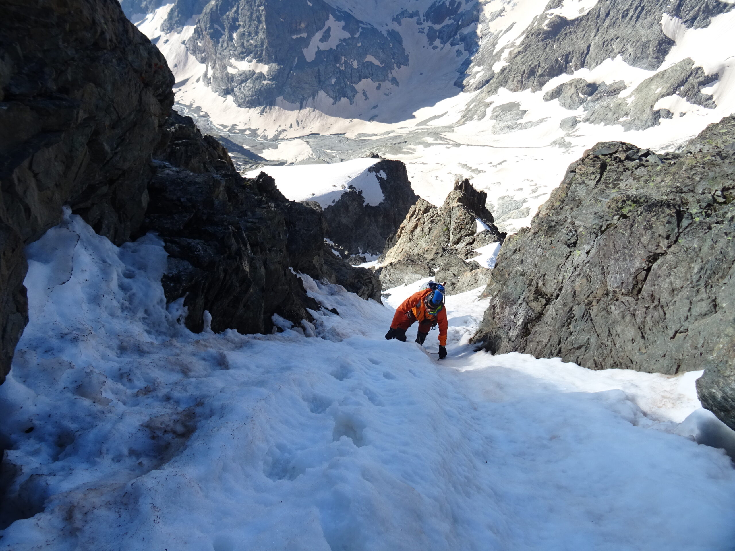
Discesa: ritornare al dosso nevoso a 3649 quindi ridiscendere lo sperone (un cordone per una doppia sopra il nevaio in uno dei tratti più impegnativi non evitabili). Oppure scendere a dx (faccia a valle – sud-ovest). Un canalino permette di raggiungere il ramo sx del ghiacciaio dell’Ailefroide (1-2 doppie su cordoni in loco in caso di ghiaccio o terminali aperte). Seguire ora il ripido ghiacciaio (40°), aggirando i crepacci fino a fondo dove compiendo un semicerchio verso sx (est) si riprende il percorso dell’andata sopra la morena iniziale.
1° salita dalla cengia: 1905 - C.A. Barnicoat, Jean-Baptiste Rodier padre e figlio
- Cartografia:
- IGN 1:25.000
- Bibliografia:
- S. Constant - Ascensions en neige et mixte
Nelle vicinanze Mappa
Itinerari
Glacier Noir (Col du) quota 3525 m da Ailefroide per il Col du Glacier Noir e la cresta est
 50m
50m
Pelvoux Via Normale per il Couloir Coolidge
 50m
50m
Pelvoux Traversata Couloir Coolidge – Glacier des Violettes
 50m
50m
Ailefroide Orientale Cresta Sud
 50m
50m
Pelvoux Couloir Chaud
 50m
50m
Selè (Col du) Via Normale da Ailefroide
Selè (Pointe du) da Ailefroide per il Glacier du Selè e la cresta Sud-Est
 400m
400m
Pelvoux (Trois Dents du) – Goulotte Berhault
Dormillouse (Pic de) dalla Combe du Riou
 3.4Km
3.4Km
Pelvoux Couloir Mettrier
 4.4Km
4.4Km