150m
150m


Note
 50m
50m
50m
50m
50m
50m
50m
1.2Km
1.2Km
1.2Km
50m
50m
50m
50m
50m
50m
50m
1.2Km
1.2Km
1.2Km
150m
1.7Km
1.9Km
1.9Km
3.1Km
4.8Km
8.7Km
8.9Km
8.9Km
9Km
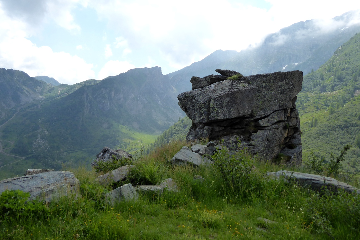
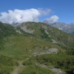
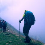
Facile e breve gita su sterrate. Il Tumlet è stato rovinato dagli impianti sciistici, ma dalla punta si ha uno splendido panorama su tutte le cime più alte della Valle
Avvicinamento
Da Lanzo salire in val di Viù, superare Usseglio e dopo la galleria paravalanghe svoltare a sinistra in direzione Perinera, Andriera e Benot.
Salire fino a pian Benot. All'inizio del piano a destra inizia una strada sterrata (divieto di accesso).
Ampio parcheggio.
Descrizione
Salire fino a pian Benot. All'inizio del piano a destra inizia una strada sterrata (divieto di accesso).
Ampio parcheggio.
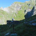
Salire sulla sterrata per una quindicina di minuti fino ad incontrare sulla destra un’altra sterrata completamente inerbita, segnalata con cartello “Tumlet” poco visibile se l’erba è alta.
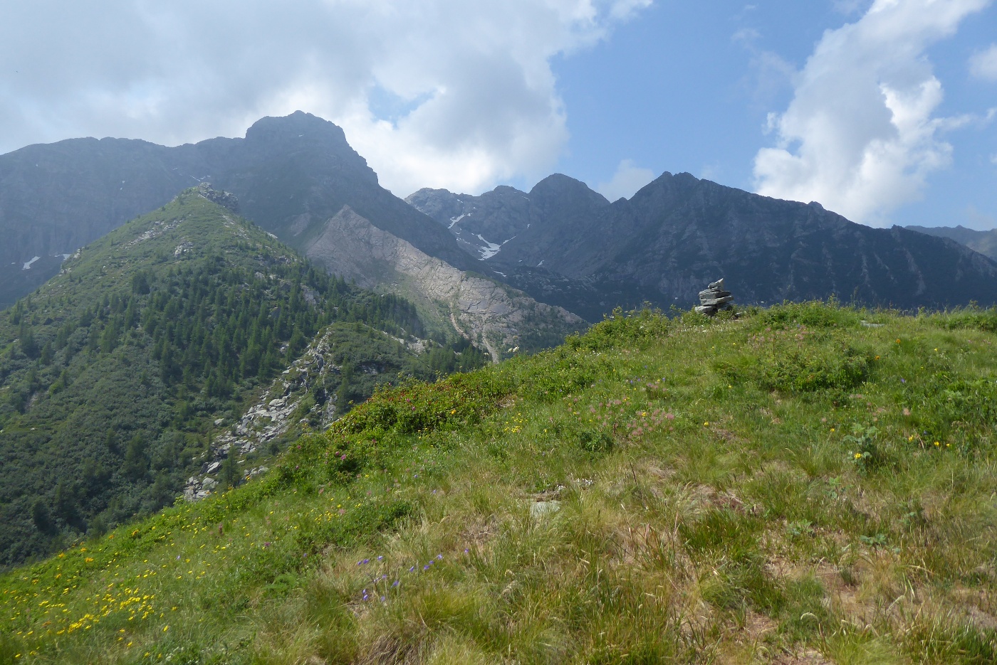
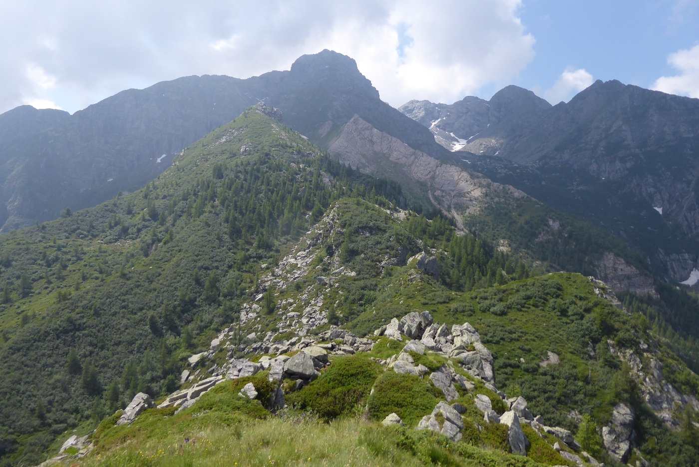
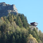
La sterrata sale con pendenze regolari, mentre il panorama si apre sulle cime, specie sulla Torre d’Ovarda, proprio di fronte. La sterrata compie una decina di tornanti e giunge sulla vetta contraddistinta da un ometto di pietre.
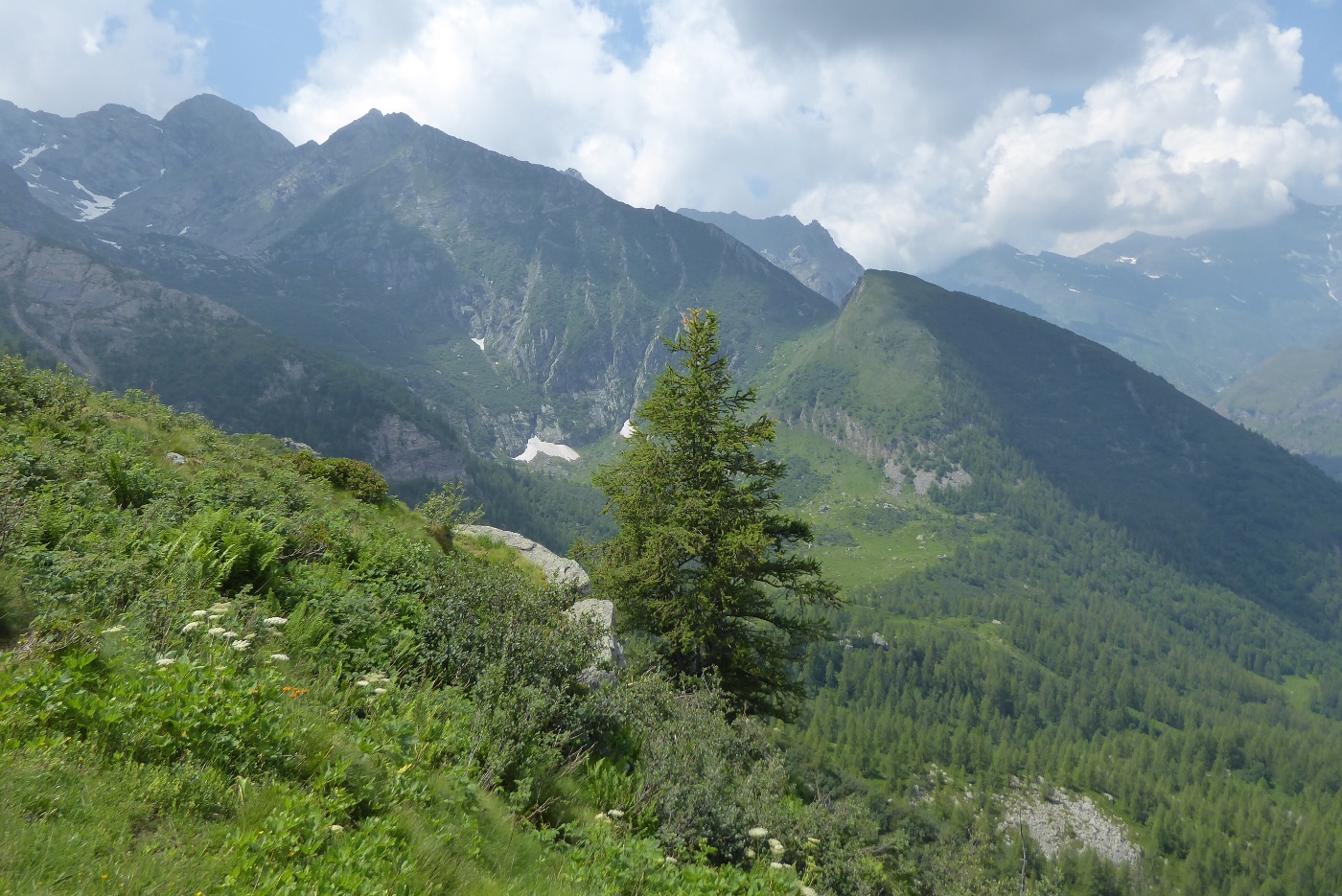
Per la discesa imboccare la sterrata che scende verso sud-est che è anche la pista da sci. Questa, terminata la parte ripida, scende a sinistra, mentre la sterrata scende a destra fino al pianoro delle Fumà, dove giunge la sterrata abbandonata all’inizio. Si scende quindi a Benot, chiudendo il breve anello.
- Cartografia:
- Fraternali n* 8
Nelle vicinanze Mappa
Itinerari
20/10/2012 TO, Usseglio D+ 1130 m EE Varie
Adois (Punta dell’) da Pian Benot
 50m
50m
28/06/2026 TO, Usseglio D+ 1150 m EE/F Nord
Lunella (Punta) da Pian Benot per il Colle Lusera
 50m
50m
14/06/2026 TO, Usseglio D+ 916 m E Nord-Est
Maritano (Rocca) da Pian Benot
 50m
50m
16/07/2020 TO, Usseglio D+ 1037 m E Varie
Pala Rusà (Punta) da Pian Benot, anello della Sagna del Vallone per i colli delle Lance e della Portia
 50m
50m
08/10/2012 TO, Usseglio D+ 950 m E Varie
Grifone (Punta di) da Pian Benot
 50m
50m
14/06/2026 TO, Usseglio D+ 800 m E Nord-Ovest
Pala Rusà (Punta) e Punta delle Lance dal Pian Benot
 50m
50m
27/05/2022 TO, Usseglio D+ 1145 m EE Varie
Lunella (Punta) da Pian Benot per il Colle della Forcola
 50m
50m
11/09/2025 TO, Usseglio D+ 1300 m EE/F Sud
Ovarda (Truc d’) da Usseglio, anello per il Colle di Costa Fiorita
 1.2Km
1.2Km
30/10/2024 TO, Usseglio D+ 190 m EE Sud
Sentiero Balcone di Usseglio
 1.2Km
1.2Km
11/06/2026 TO, Usseglio D+ 1200 m E Sud
Costa Fiorita (Punta di) da Chiaberto
 1.2Km
1.2Km
Servizi
150m
1.7Km
Il bivacco Ristorante
Usseglio
1.9Km
Luigi Cibrario Rifugio
Usseglio
1.9Km
Grand’Usselio Albergo
Usseglio
3.1Km
Furnasa Albergo
Usseglio
4.8Km
Il Caminetto Ristorante
Usseglio
8.7Km
Val Servin Ristorante
Balme
8.9Km
Les Montagnards Albergo
Balme
8.9Km
Camussot Albergo
Balme
9Km