700m
700m
Note
 800m
2.4Km
3Km
3.1Km
3.2Km
3.8Km
4.5Km
4.6Km
4.6Km
800m
2.4Km
3Km
3.1Km
3.2Km
3.8Km
4.5Km
4.6Km
4.6Km
700m
2.5Km
2.7Km
2.9Km
5Km
6.9Km
7Km
7.3Km
8.1Km
8.2Km
Tappa di oltre 12 km con dislivello di 453 m. su sentieri e strade asfaltate, sempre ottimamente segnalata.
Avvicinamento
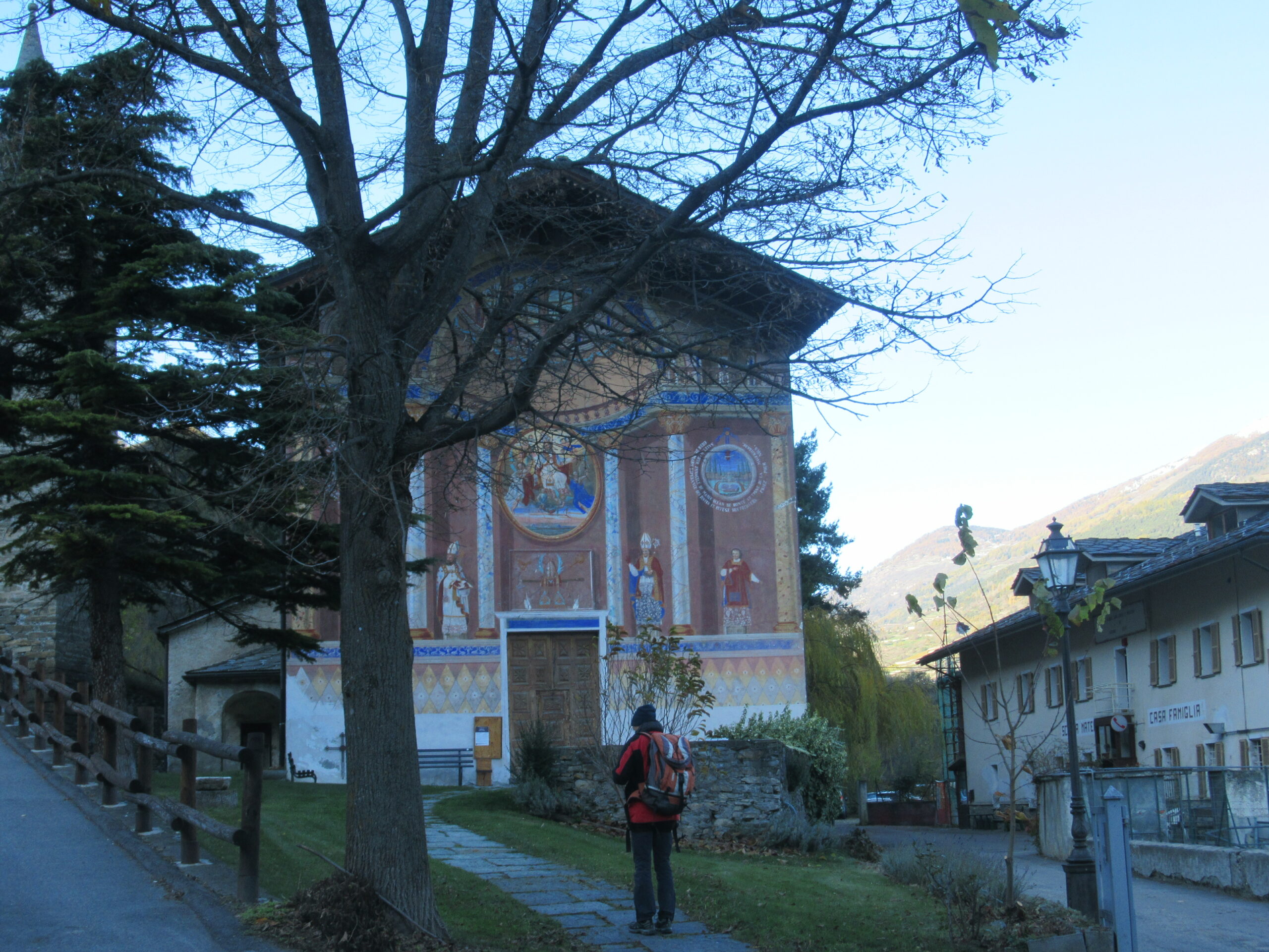
Da Ivrea proseguire verso la valle con autostrada fino all'uscita di Aosta Est. Prendere la strada per Cogne; arrivati a Aymavilles al primo tornante si trova la chiesa dove parte l'itinerario.
Descrizione
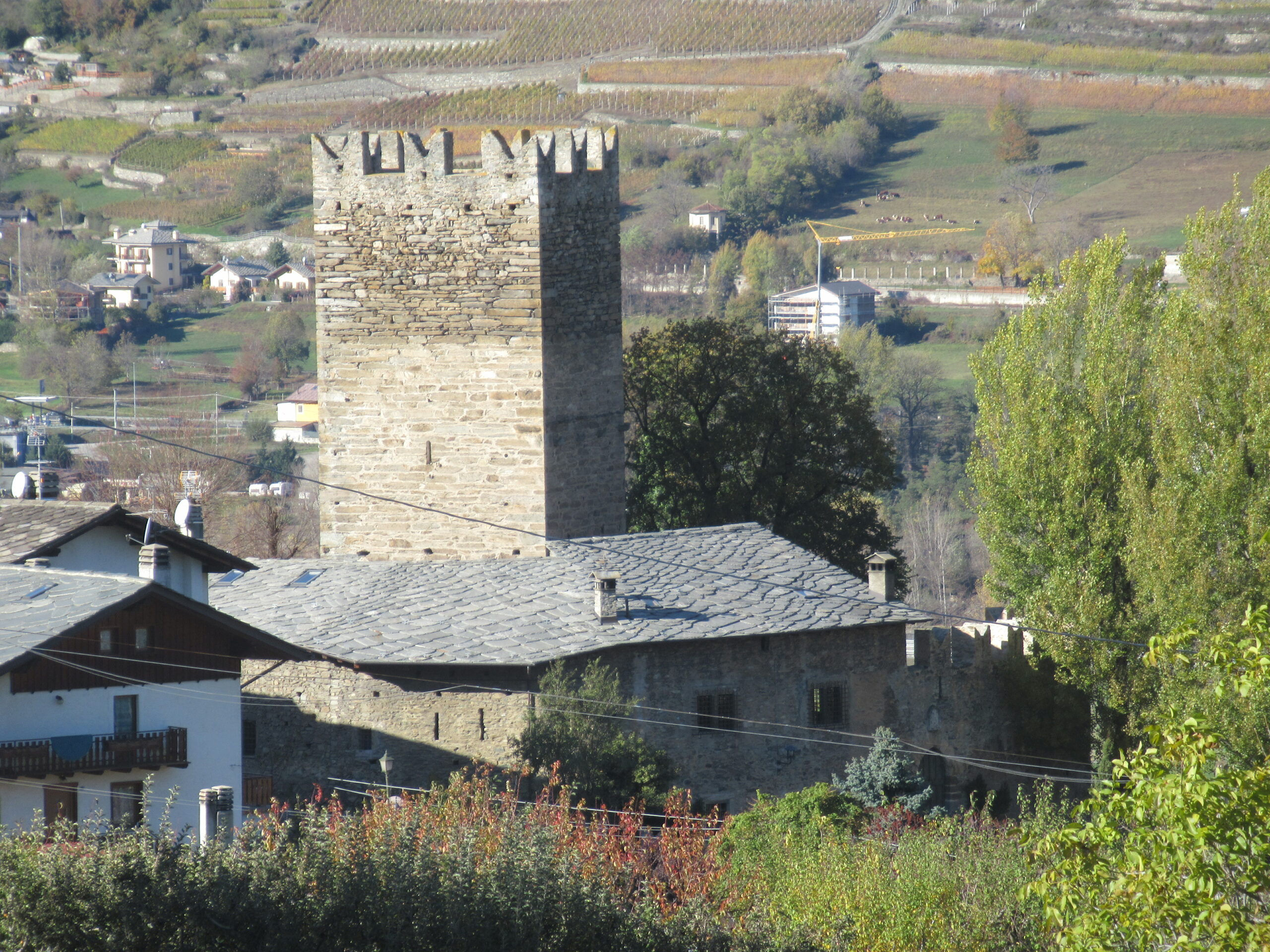
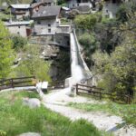
Da Aymavilles, nei pressi della chiesa di Saint Léger parte la tappa. Si prosegue lungo la strada che porta a Cogne fino al Castello di Aymavilles. Si passa davanti all’entrata del castello e si sale in direzione del bosco.
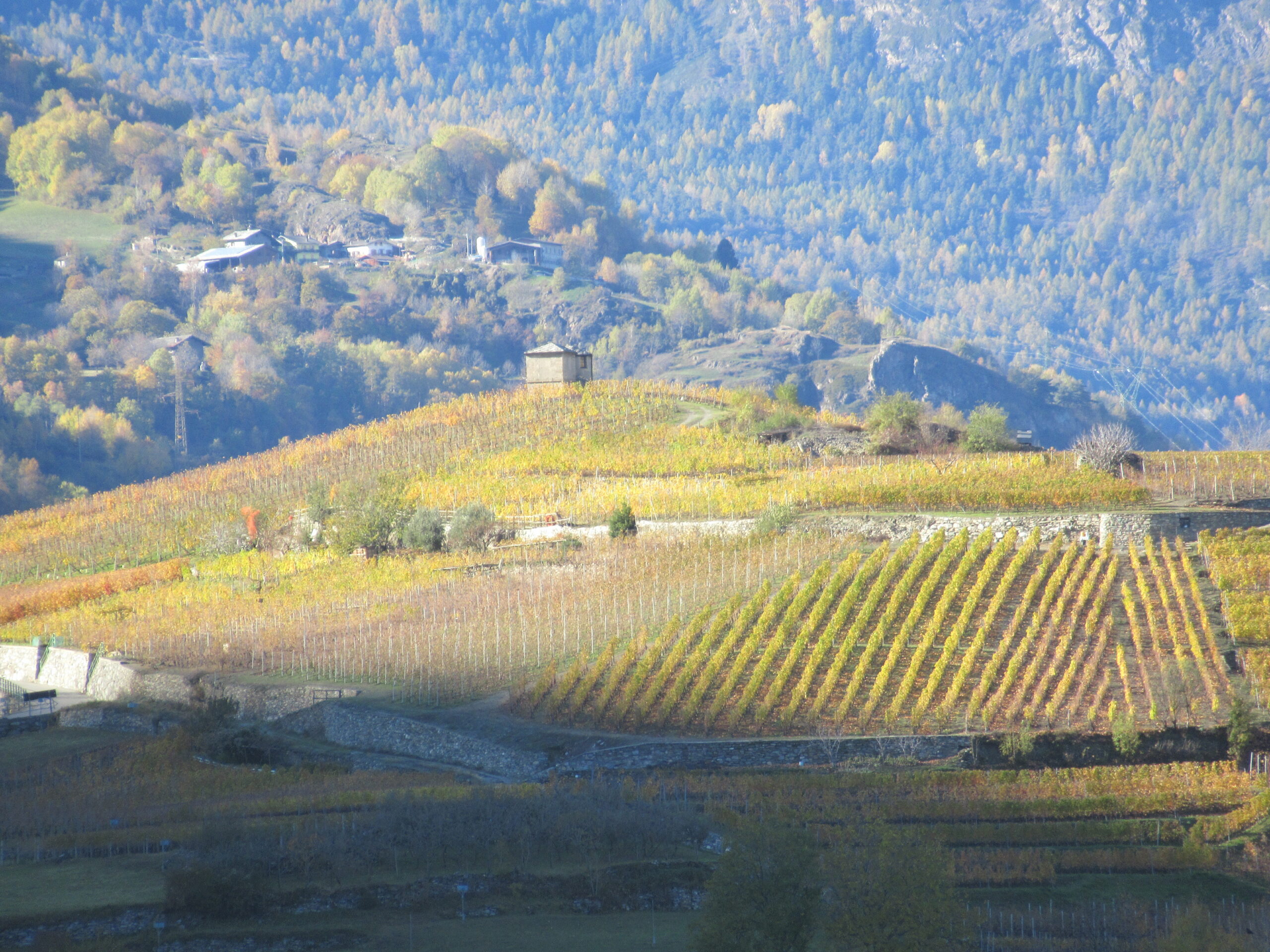
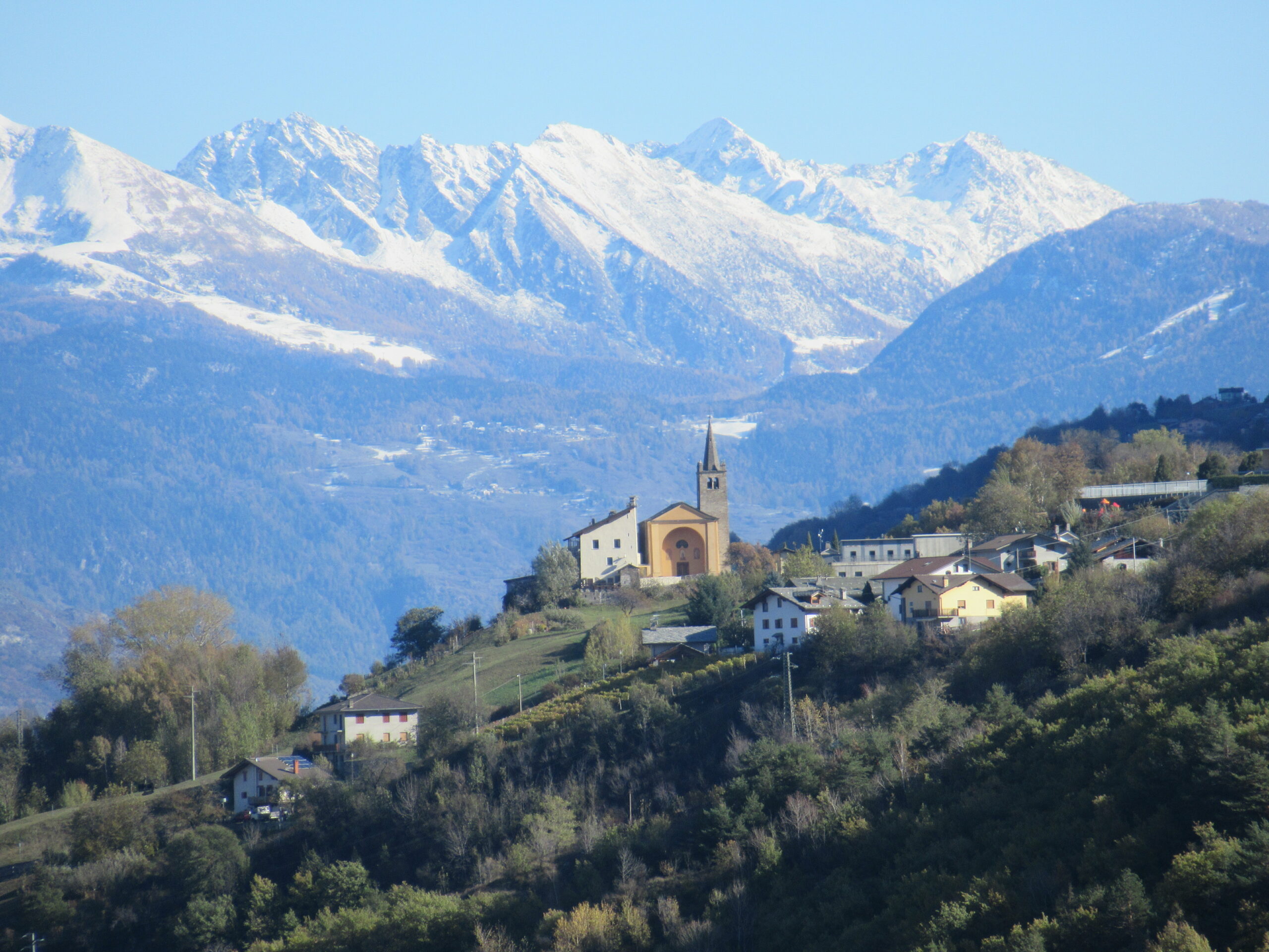
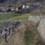
Ad un bivio si svolta a sinistra e si prosegue con un sentiero a mezza costa che supera una cava lungo il Ru d’Albieroz. Si scende per un tratto passando da un bel punto panoramico e si raggiunge la frazione più alta di Jovencan. Ora si prosegue su strada sterrata in mezzo a coltivazioni di mele e uva (sentiero del Gargantua) e si arriva alla frazione Moulin di Gressan.
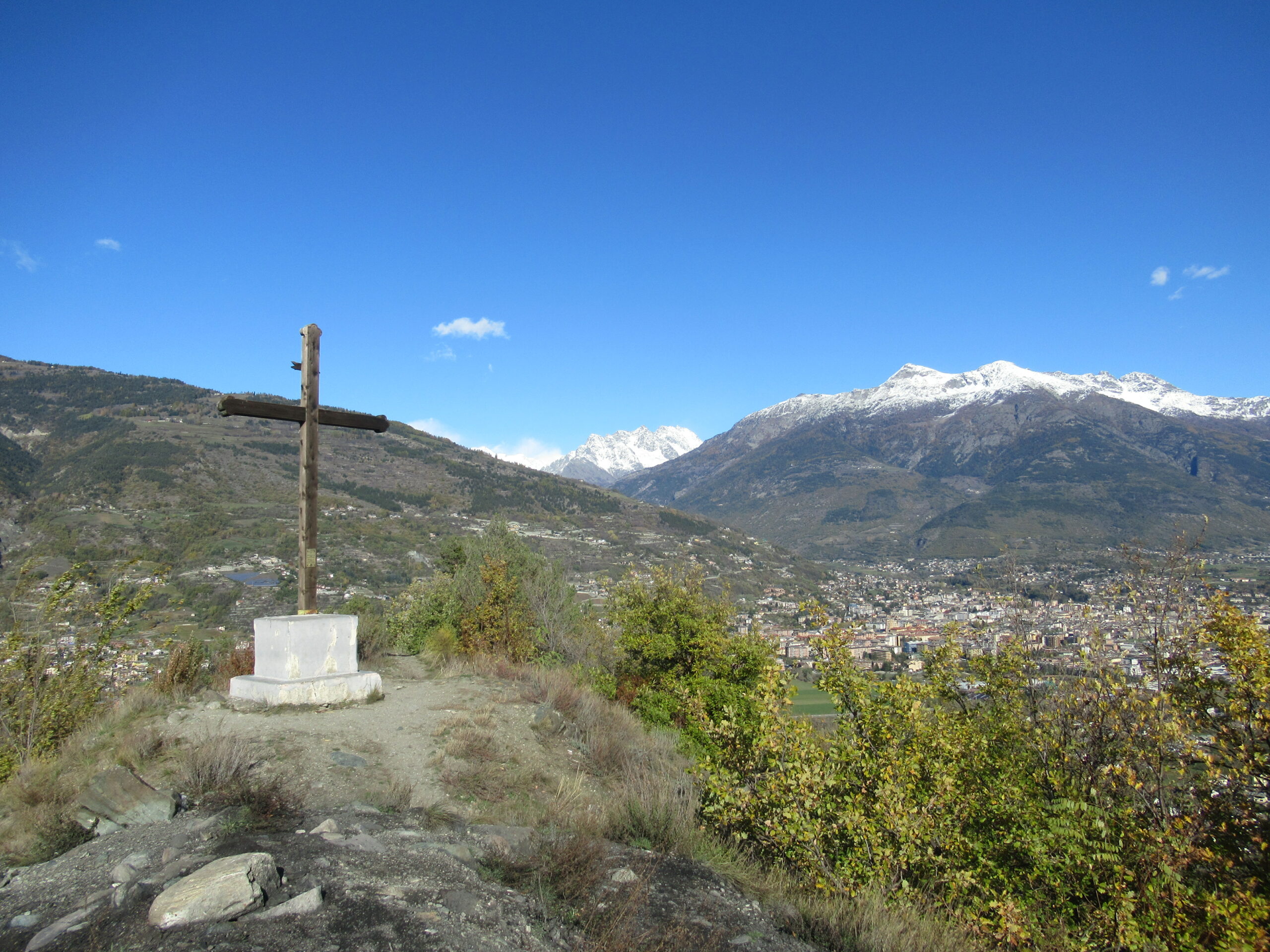
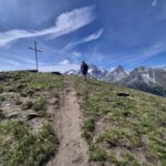
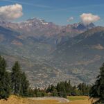
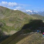
Qui si sale verso una morena dove si raggiunge una croce in posizione panoramicissima (Cote de Gargantua). Dalla croce si prosegue scendendo nel versante opposto e arrivati al fondo si svolta a destra e proseguendo sempre tra vigne si sale alla frazione Chateau di Charvensod.
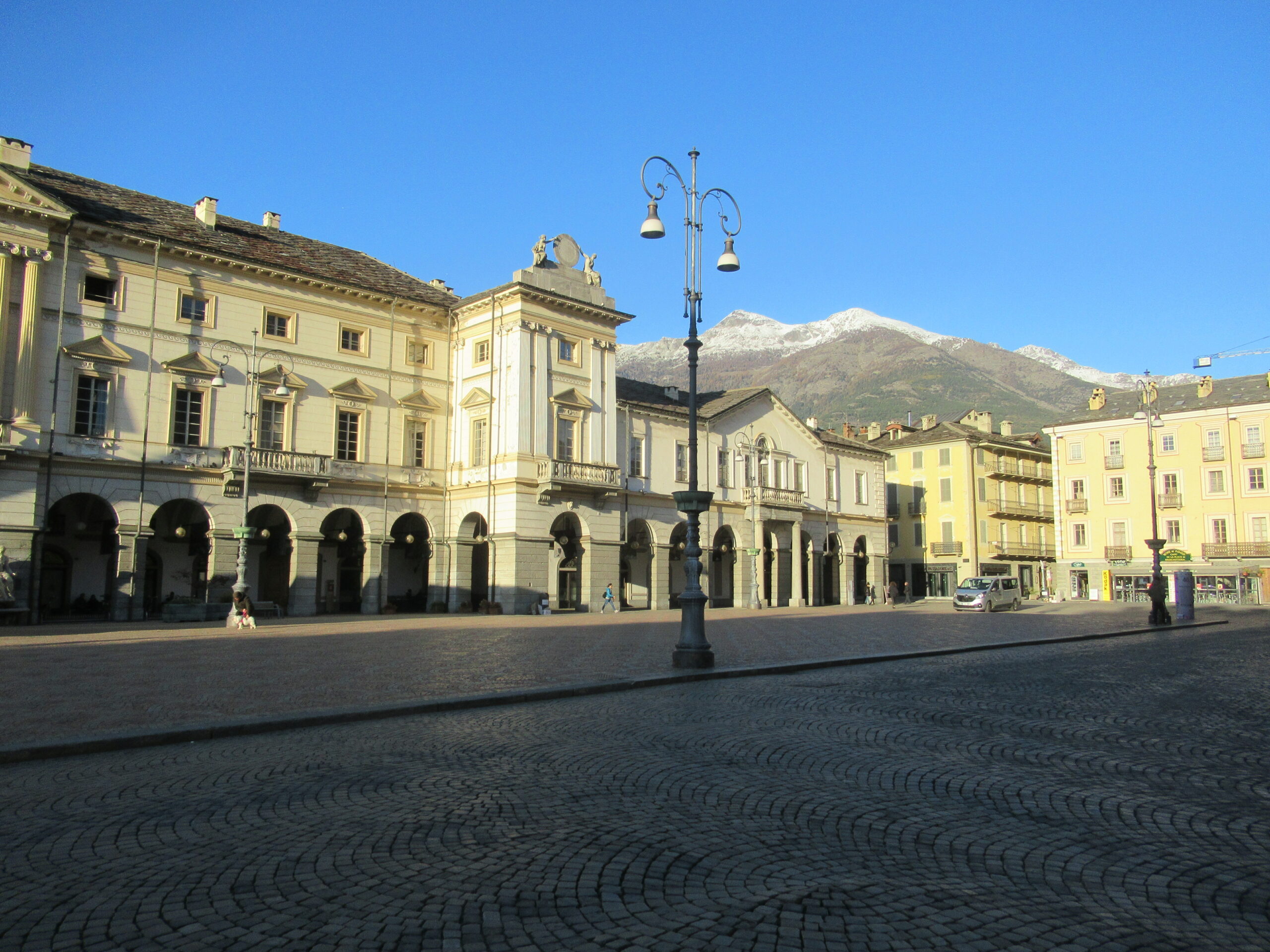
Dopo un breve tratto asfaltato si prende una mulattiera che scende ripida in direzione di Aosta. Arrivati in città si raggiunge piazza Chanoux e in breve la Cattedrale.
Nelle vicinanze Mappa
Itinerari
19/05/2026 AO, Aymavilles D+ 941 m E Sud-Est
Poignon (Mont) da Aymavilles, anello per Petit Poignon
 800m
800m
16/06/2026 AO, Aymavilles D+ 1176 m E Ovest
Pierre (Pointe de la) da Ozein, anello
 2.4Km
2.4Km
22/02/2026 AO, Saint-Pierre D+ 630 m E Nord-Ovest
Saint Nicolas da Saint Pierre
 3Km
3Km
18/11/2025 AO, Sarre D+ 1050 m EE Tutte
France (Becca) da Bellon, anello
 3.1Km
3.1Km
17/07/2025 AO, Aymavilles D+ 297 m T Nord
Pila da Turlin
 3.2Km
3.2Km
01/11/2019 AO, Aymavilles D+ 2100 m EEA Varie
Valletta (Punta della) da Turlin per Pointe de la Pierre, Bivacco Arno, Pointe de Monpers e Colle di Tsa Seche
3.2Km
05/03/2022 AO, Villeneuve D+ 837 m E Varie
Cammino Balteo tappa n.17 da Villeneuve a Aymavilles
 3.8Km
3.8Km
28/02/2026 AO, Villeneuve D+ 568 m T Nord-Est
Poignon (Mont) da Champlong
 4.5Km
4.5Km
19/07/2026 AO, Sarre D+ 1176 m EE Sud
Arsy o Ars (Mont d’) da Thouraz
 4.6Km
4.6Km
11/08/2020 AO, Sarre D+ 1300 m EE Sud-Ovest
Tsa (Mont de la) e Punta Chaligne da Thouraz, anello per Pointe de Metz
 4.6Km
4.6Km
Servizi
700m
2.5Km
Gran Paradiso B&B
Jovencan
2.7Km
Carillon Bar
Aymavilles
2.9Km
Chez Marisa Ristorante
Sarre
5Km
Le Vieux Noyer B&B
Saint-Pierre
6.9Km
Notre Maison Albergo
Saint Pierre
7Km
Vetan Ristorante
Saint-Pierre
7.3Km
la tana Ristorante
Aymavilles
8.1Km
Beau Sejour Albergo
Arvier
8.2Km