2.3Km
2.3Km
Note
 1.1Km
1.5Km
2.3Km
2.9Km
2.9Km
2.9Km
2.9Km
3Km
3.7Km
1.1Km
1.5Km
2.3Km
2.9Km
2.9Km
2.9Km
2.9Km
3Km
3.7Km
2.3Km
4.1Km
4.3Km
4.4Km
4.4Km
4.5Km
4.5Km
6.1Km
6.1Km
8.1Km
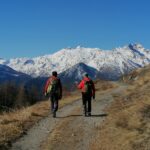
Tappa non impegnativa (dislivello 837 m. e lunghezza 12,2 Km) ricca di suggestioni storiche che vanno dal Medioevo all'epoca romana attraversando vigneti, pianori, torrenti dalle gole impetuose e villaggi sospesi nel tempo.
Avvicinamento
Da Aosta proseguire verso l'alta valle fino a raggiungere l'abitato di Villeneuve dove ci sono diversi parcheggi.
Descrizione
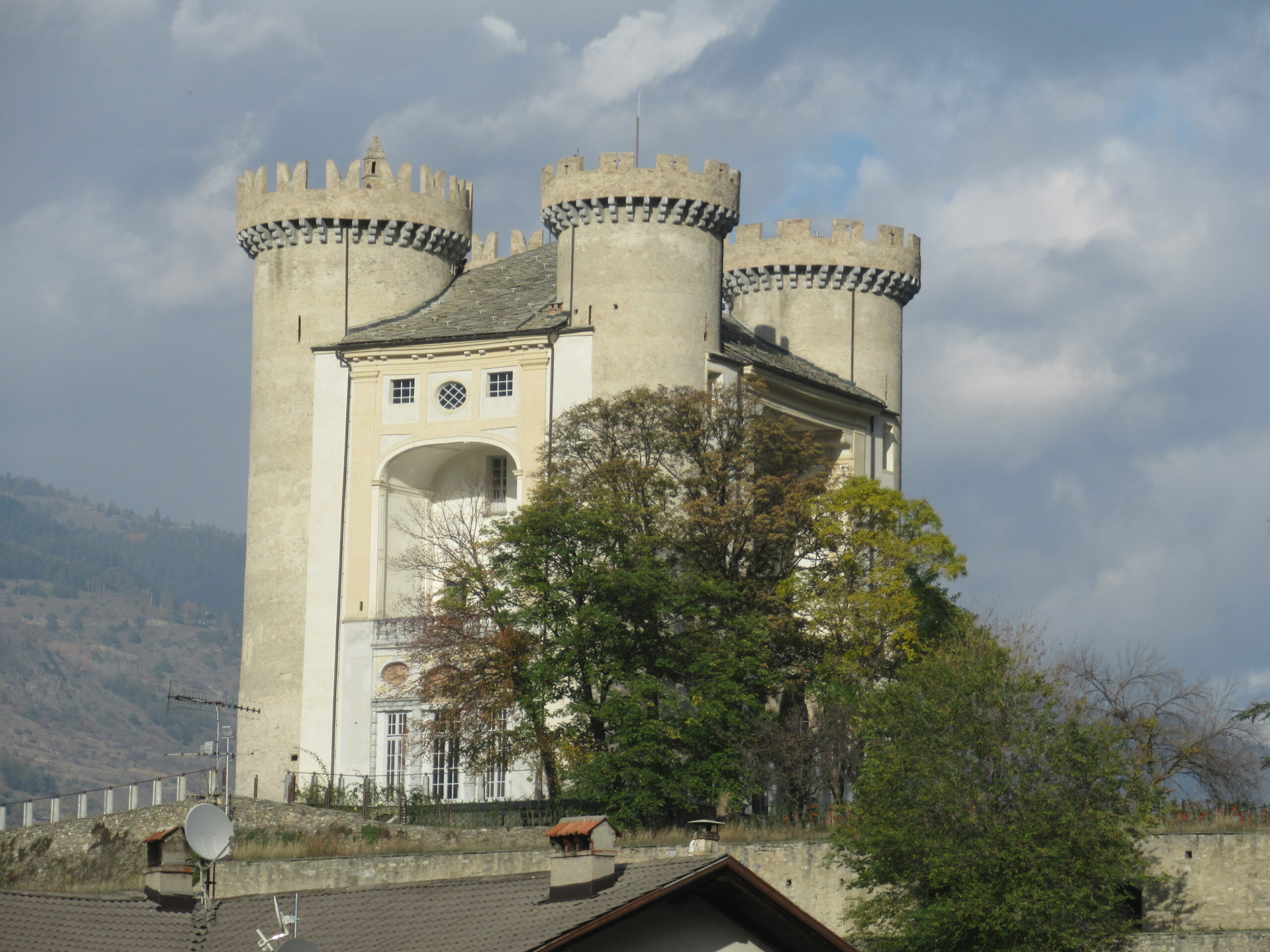
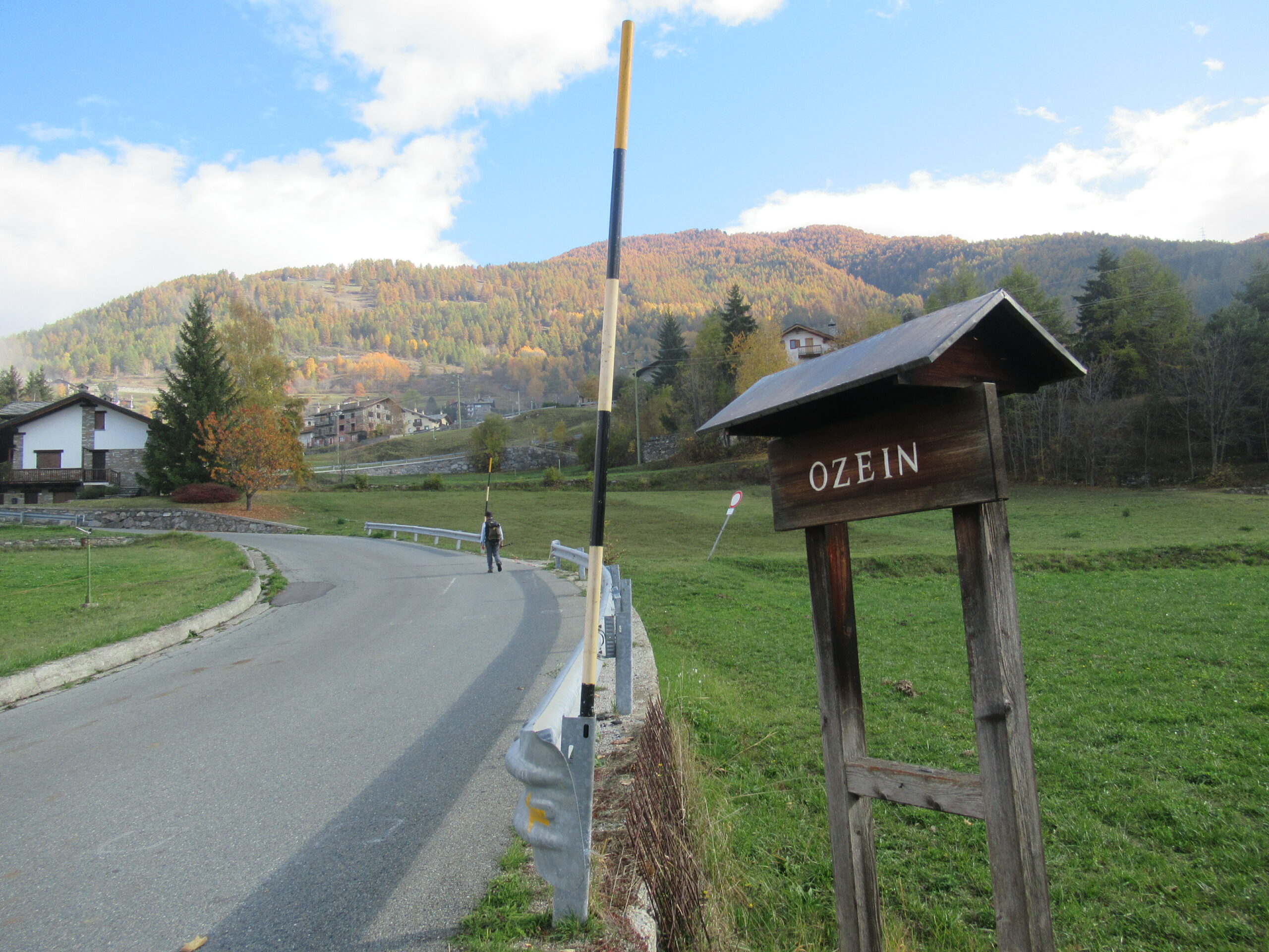
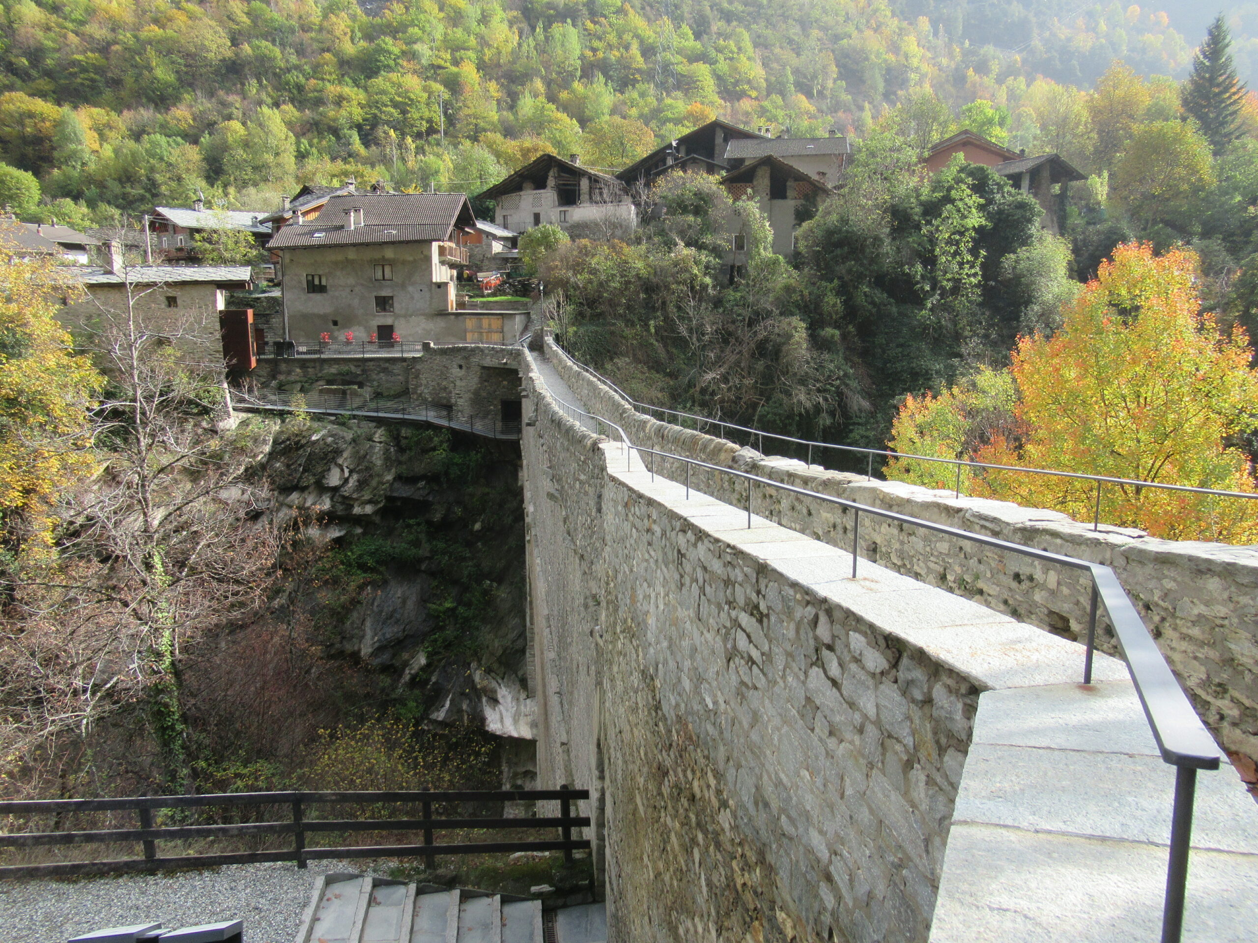
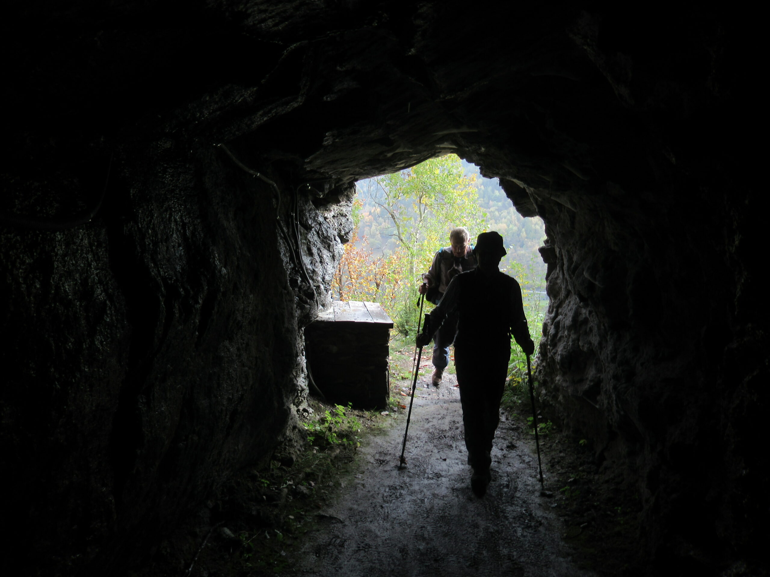
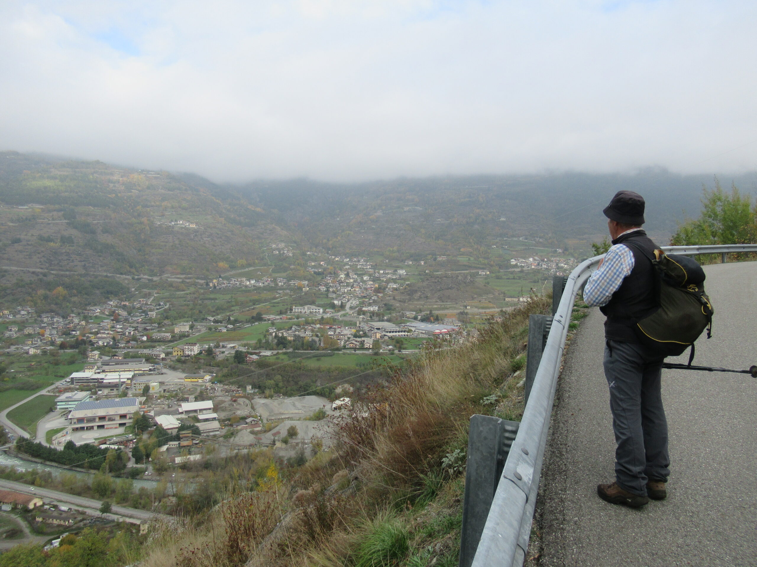
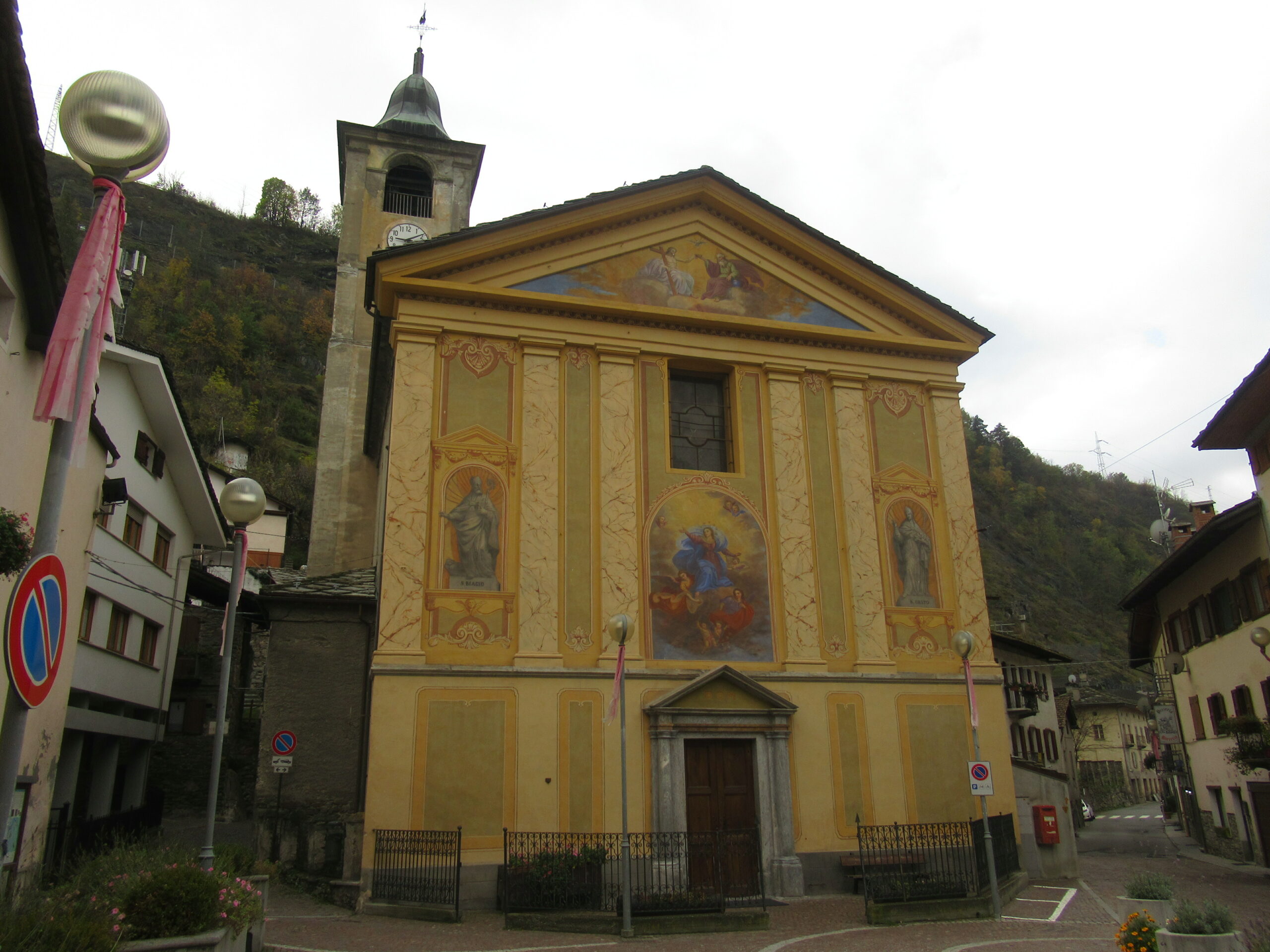
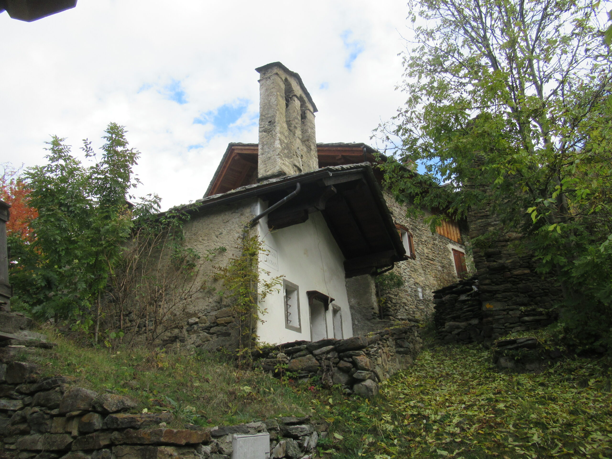
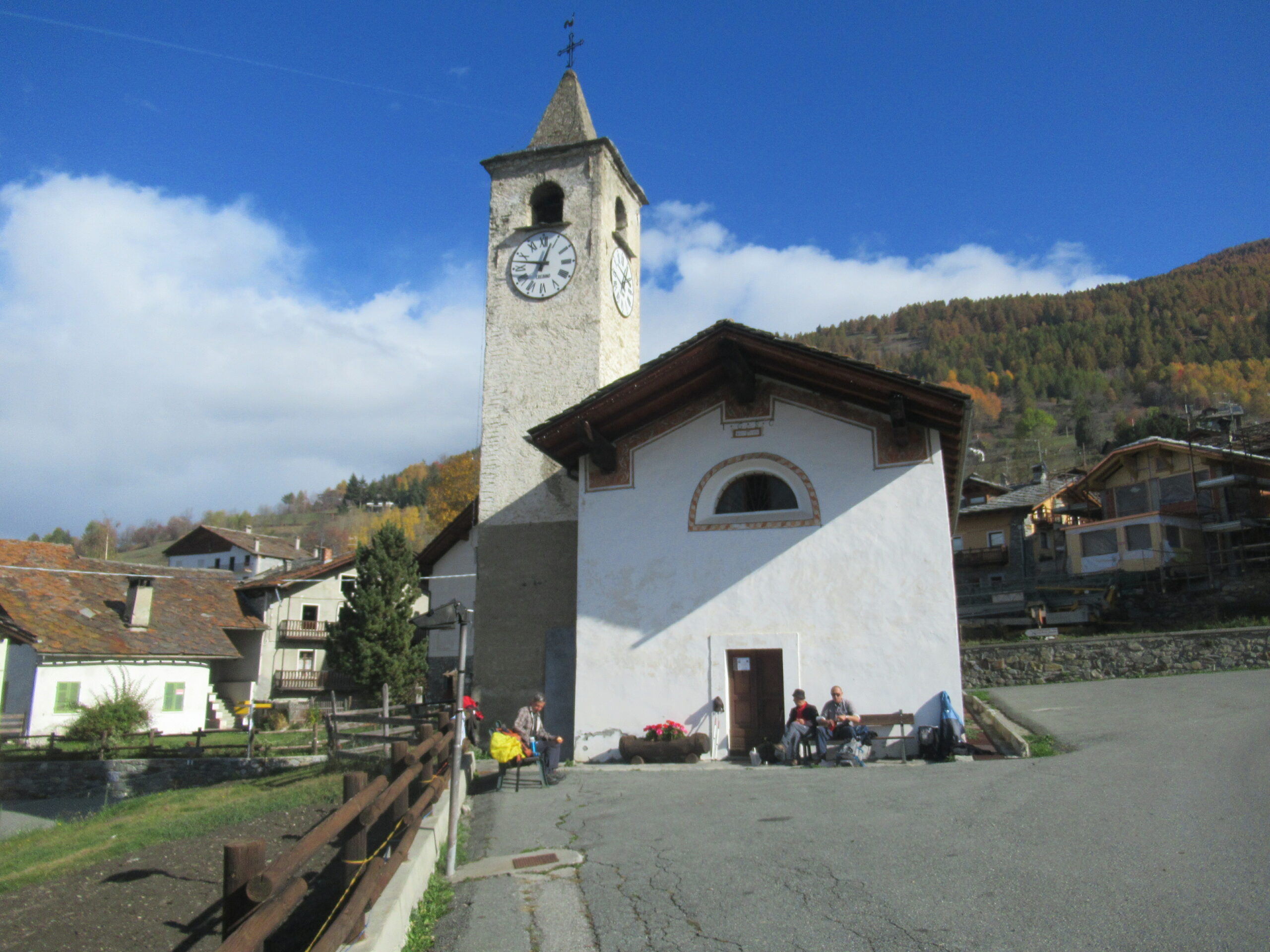
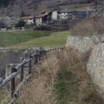
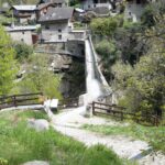
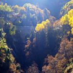
Dopo aver attraversato il borgo di Villeneuve, si sale alla volta della suggestiva chiesa di Santa Maria sotto lo sguardo enigmatico del castello di Chatel Argent. Superata la località Chavonne si raggiunge la frazione Issogne da cui si prende a salire verso la località Camagne da dove la vista si apre sia verso il fondovalle che verso il solco del torrente Gran Eyvia. Da qui si prosegue lungo un panoramico e a tratti un po esposto sentiero, noto anche come “sentiero delle farfalle” (ben 96 specie diverse) che, superata una galleria conduce allo straordinario ponte-acquedotto romano del Pont d’Ael, un capolavoro dell’ingegneria idraulica del I secolo a.C. oggi magnificamente musealizzato e valorizzato. Dal grazioso villaggio di Pont d’Ael si prosegue con un tratto in decisa salita fino al villaggio di Serignan. Proseguendo su strada e su sentiero si arriva così al villaggio di Ozein in splendida posizione panoramica. Da qui si scende in direzione di Champlan e, tra boschi e balze prative, si ritorna nel fondovalle all’altezza di Aymavilles nei pressi della Chiesa di Saint Léger dove termina la tappa. Per recuperare l’auto si prosegue sulla strada asfaltata per Villeneuve che si raggiunge in 45 minuti.
Nelle vicinanze Mappa
Itinerari
22/02/2026 AO, Saint-Pierre D+ 630 m E Nord-Ovest
Saint Nicolas da Saint Pierre
 1.1Km
1.1Km
28/02/2026 AO, Villeneuve D+ 568 m T Nord-Est
Poignon (Mont) da Champlong
 1.5Km
1.5Km
03/07/2014 AO, Saint-Pierre D+ 1160 m E Nord
Mont Fallère (Rifugio) da Rumiod
 2.3Km
2.3Km
04/06/2016 AO, Introd D+ 1350 m E Nord-Est
Paillasse (Mont) da Buillet
 2.9Km
2.9Km
24/08/2025 AO, Introd D+ 1200 m E Est
Petit Mont Blanc (Colle) da Buillet
 2.9Km
2.9Km
02/06/2016 AO, Introd D+ 1111 m E Est
Blanc (Mont) da Buillet per il Col du Mont Blanc
2.9Km
08/04/2026 AO, Introd D+ 350 m E Varie
Cammino Balteo tappa n.16 da Introd a Villeneuve
 2.9Km
2.9Km
19/10/2014 AO, Introd D+ 1873 m EE Nord
Chamoussiere (Punta) da Buillet
 2.9Km
2.9Km
19/05/2026 AO, Aymavilles D+ 941 m E Sud-Est
Poignon (Mont) da Aymavilles, anello per Petit Poignon
 3Km
3Km
09/03/2022 AO, Saint-Pierre D+ 893 m E Varie
Cammino Balteo tappa n.13 da Vetan a La Salle
 3.7Km
3.7Km
Servizi
2.3Km
4.1Km
Notre Maison Albergo
Saint Pierre
4.3Km
Vetan Ristorante
Saint-Pierre
4.4Km
La pineta Rifugio
Aymavilles
4.4Km
Beau Sejour Albergo
Arvier
4.5Km
Carillon Bar
Aymavilles
4.5Km
Atanor Ristorante
Arvier
6.1Km
Chez Marisa Ristorante
Sarre
6.1Km
Gran Paradiso B&B
Jovencan
8.1Km