 3.3Km
3.3Km
Avvicinamento
 50m
50m
50m
1.2Km
1.7Km
2.9Km
3.1Km
3.5Km
3.5Km
3.9Km
50m
50m
50m
1.2Km
1.7Km
2.9Km
3.1Km
3.5Km
3.5Km
3.9Km
3.3Km
3.4Km
4.5Km
5.5Km
5.5Km
5.8Km
6.7Km
7.3Km
8.5Km
8.7Km
.
Descrizione
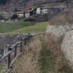
La partenza è fissata circa 700 metri a monte della località Buillet, primo centro abitato sulla strada della Valsavarenche (possibilità di parcheggio sul lato opposto della strada a 50 metri dall’inizio del sentiero).
E’ una stradina segnavia 2 a dx che raggiunge una costruzione dell’acquedotto: attenzione al bivio perchè, delle due piste a sinistra bisogna tenere quella più alta.
E’ l’unico incrocio fino alle case di Arpilles e, anche se l’itinerario non è segnalato sul terreno, non si incontrano mai particolari difficoltà di orientamento.
Il tracciato si dirige a sud lungamente in falsopiano e diviene ampio sentiero sottopassando un traliccio elettrico, in un bosco misto di latifoglie e pino silvestre.
Raggiunto il ciglio di un canalone (un’ora), rimontarlo alato con un paio di svolte, per superarlo pochi metri più in alto e proseguire sempre verso sud, ma con pendenza più accentuata. Tra gli abeti si oltrepassa un ruscello per fuoriuscire dal bosco su una balza rocciosa.
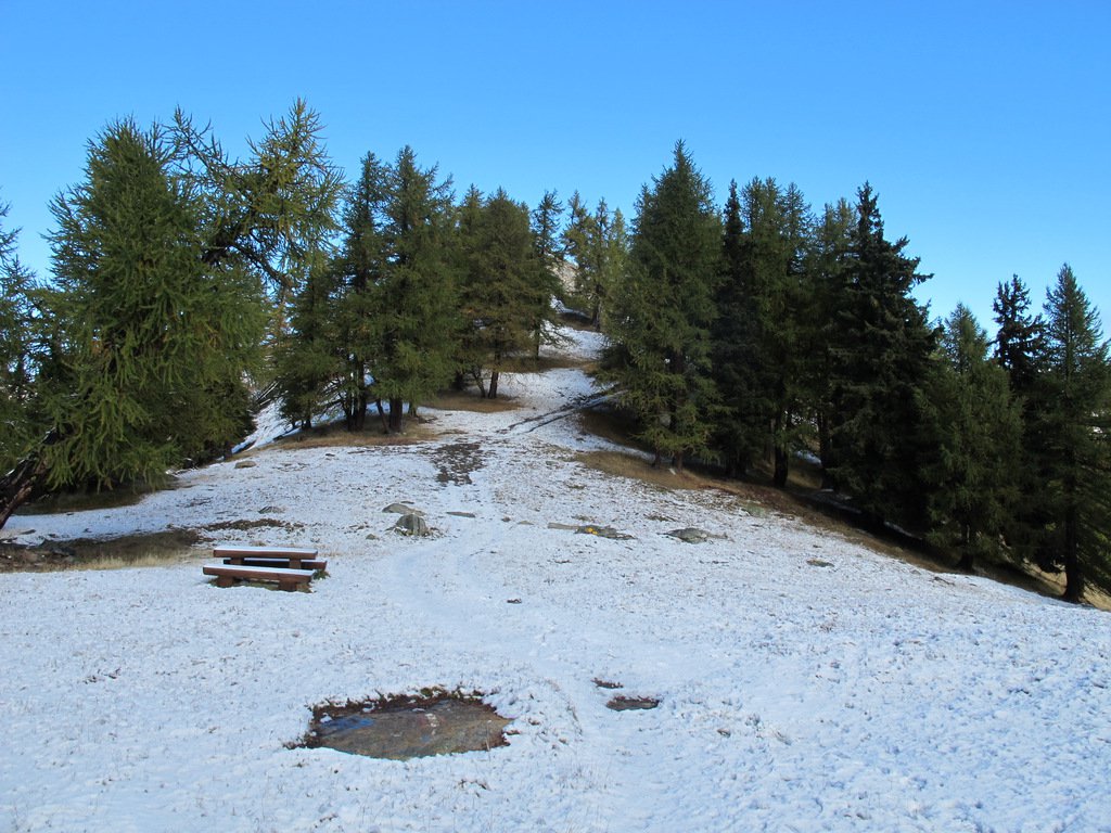
Risalire il pendio con innumerevoli svolte, prima tra i prati poi tra le conifere. Si fiancheggiano a sinistra dei terrazzamenti incolti sostenuti da muretti; un fontanile q.1775 ca. precede le case di Arpilles, m.1809 (2.20) dove sorge un gite d’etape le cui chiavi sono reperibili in comune ad Introd.
All’incrocio sopra le case, proseguire dritto nel bosco, ora misto di abete e larice che salendo prenderà il sopravvento. Una serie di ripide svolte poi il sentiero va sempre a sud aggirando le pieghe della montagna, con qualche scorcio panoramico sul fondovalle.
Ad un tornante si inverte il senso di marcia (sorgente non perenne) per raggiungere in diagonale la sella erbosa del Col du Mont Blanc a q.2171.
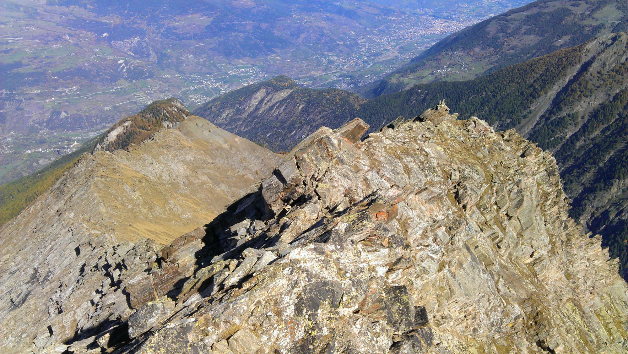
Pochi metri a destra conducono al casotto di sorveglianza del PNGP e, un breve sentierino a sinistra, alla vetta del Mont Blanc dove, sorprendentemente, la vista si apre su tutte le cime a nord della Dora Baltea.
La colorazione giallastra della roccia evidenzia un affioramento calcareo. (tre ore).
(dalla guida di Luca Zavatta)
- Cartografia:
- IGC n.3 scala 50.000, gran paradiso
- Bibliografia:
- le valle del gran paradiso e la valgrisenche di luca zavatta
Nelle vicinanze Mappa
Itinerari
19/10/2014 AO, Introd D+ 1873 m EE Nord
Chamoussiere (Punta) da Buillet
 50m
50m
04/06/2016 AO, Introd D+ 1350 m E Nord-Est
Paillasse (Mont) da Buillet
 50m
50m
24/08/2025 AO, Introd D+ 1200 m E Est
Petit Mont Blanc (Colle) da Buillet
 50m
50m
08/04/2026 AO, Introd D+ 350 m E Varie
Cammino Balteo tappa n.16 da Introd a Villeneuve
 1.2Km
1.2Km
28/02/2026 AO, Villeneuve D+ 568 m T Nord-Est
Poignon (Mont) da Champlong
 1.7Km
1.7Km
05/03/2022 AO, Villeneuve D+ 837 m E Varie
Cammino Balteo tappa n.17 da Villeneuve a Aymavilles
 2.9Km
2.9Km
16/06/2018 AO, Introd D+ 1188 m E Varie
Plana (Becca) da Chevrere
 3.1Km
3.1Km
27/08/2011 AO, Arvier D+ 550 m E Sud
Saint Nicolas da Arvier, anello
 3.5Km
3.5Km
17/04/2026 AO, Arvier D+ 700 m E Nord
Montmayeur (Castello di) da Arvier
 3.5Km
3.5Km
22/02/2026 AO, Saint-Pierre D+ 630 m E Nord-Ovest
Saint Nicolas da Saint Pierre
 3.9Km
3.9Km
Servizi
3.3Km
3.4Km
Atanor Ristorante
Arvier
4.5Km
Le Vieux Noyer B&B
Saint-Pierre
5.5Km
Carillon Bar
Aymavilles
5.5Km
Notre Maison Albergo
Saint Pierre
5.8Km
Vetan Ristorante
Saint-Pierre
6.7Km
La pineta Rifugio
Aymavilles
7.3Km
Vagneur Albergo
Saint-Nicolas
8.5Km
Gran Paradiso B&B
Jovencan
8.7Km