350m
350m
Note
 0m
50m
50m
50m
50m
50m
1.2Km
3.2Km
3.2Km
0m
50m
50m
50m
50m
50m
1.2Km
3.2Km
3.2Km
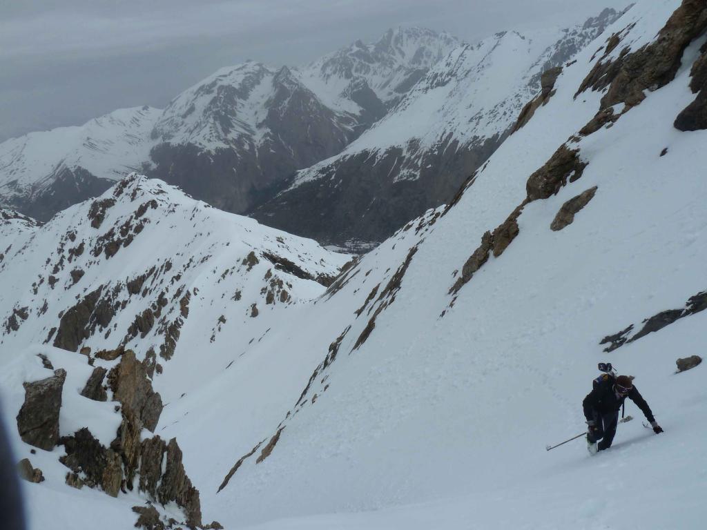
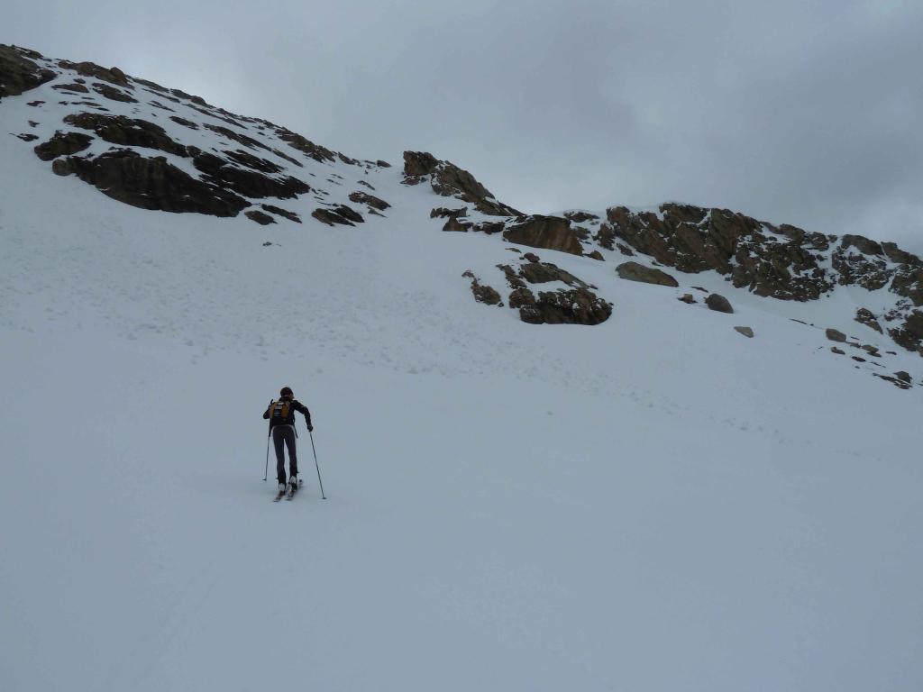
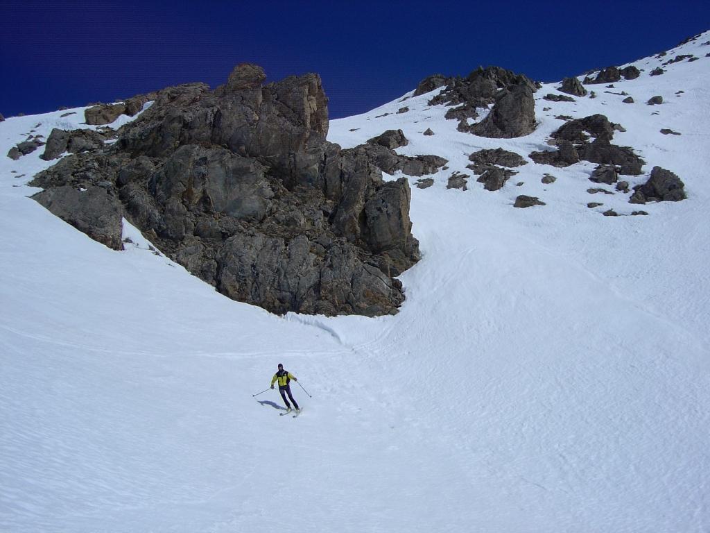
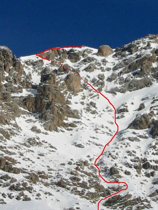
40°su 400m
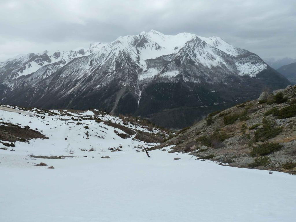
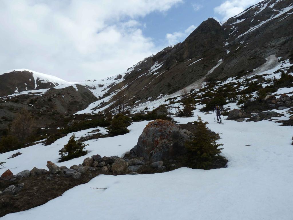
Avvicinamento
.
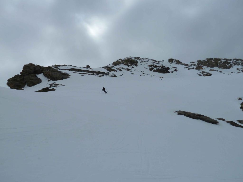
Descrizione
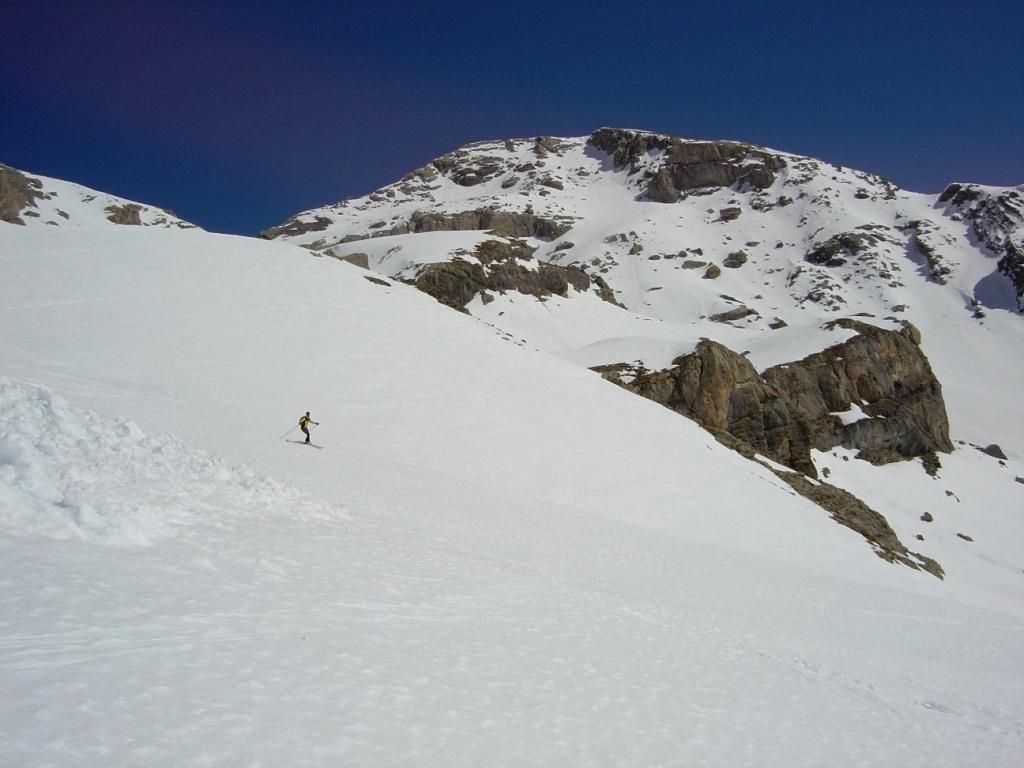
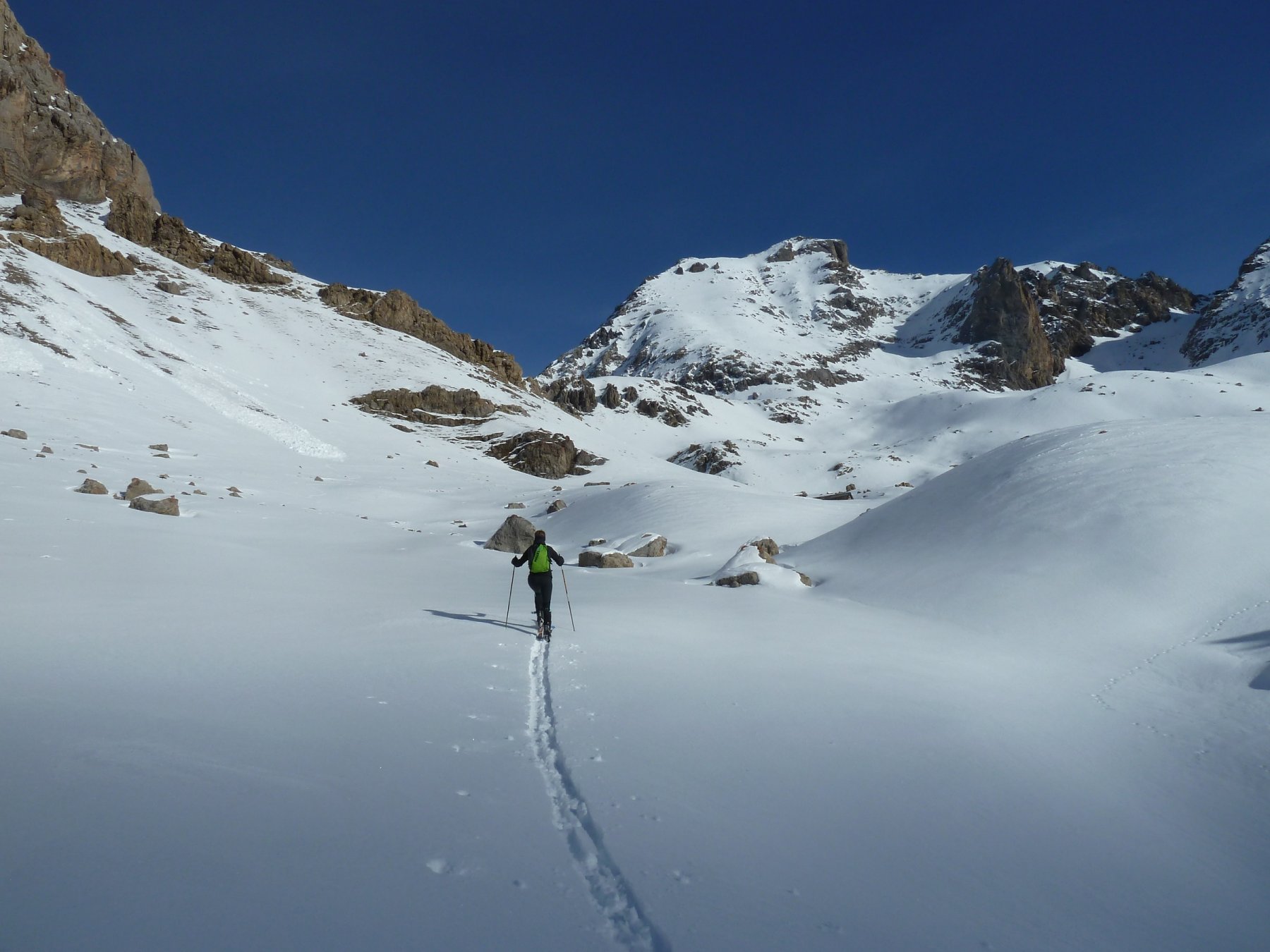
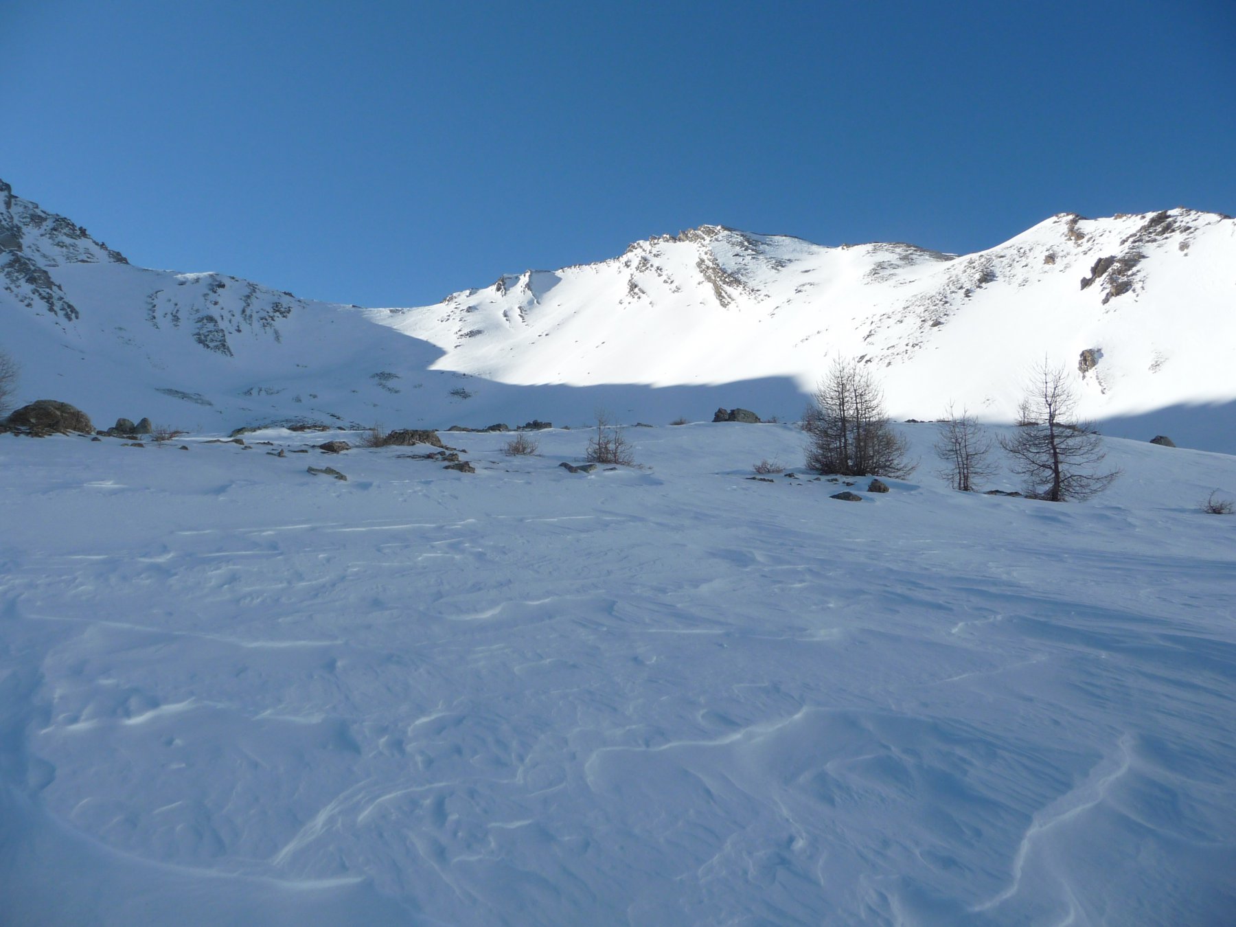
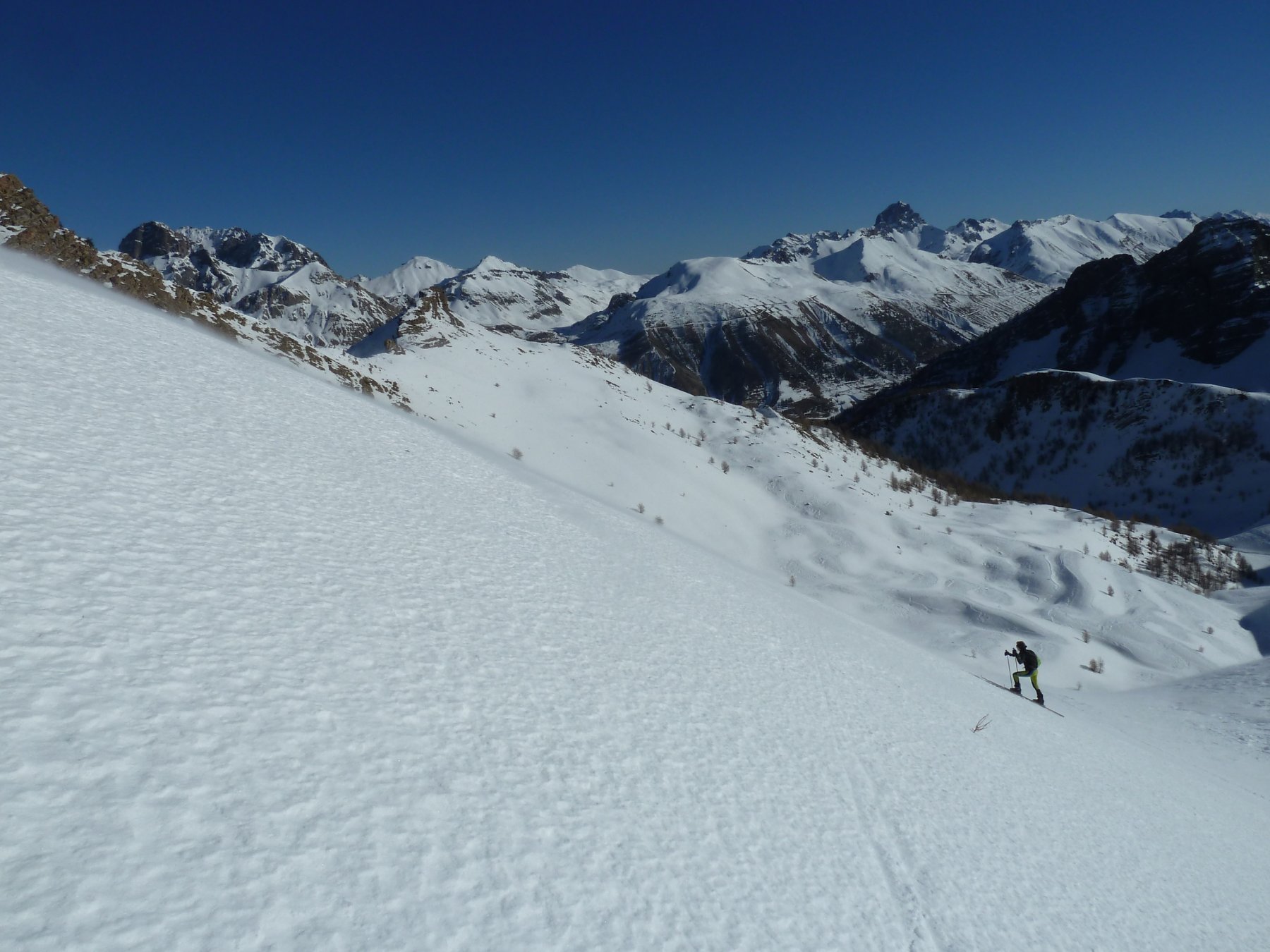
Da St.Ours si segue l’itinerario per il Col de Mirandol per poi svoltare a 90° in direzione sud-est da quota 2500 circa sotto le cime dell’Andrechouns e dell’Eyssiloun. A questo punto la Tete de la Courbe ci sta proprio di fronte.
- Cartografia:
- J.C.Campana. Blu. Dal Colle della Maddalena al Monviso. N° 108
- Bibliografia:
- J.C.Campana. Blu. Dal Colle della Maddalena al Monviso. N° 108
Ultima revisione 13/05/2025
Nelle vicinanze Mappa
Itinerari
27/12/2018 Alpes-de-Haute-Provence, Val-d'Oronaye D+ 1085 m BS Sud-Ovest
Stroppia (Colle di) da Saint Ours
 0m
0m
31/12/2018 Alpes-de-Haute-Provence, Val-d'Oronaye D+ 1300 m BS Varie
Viraysse (Tete de) da Saint Ours, giro della Meyna per i colli Viraysse e de la Portiolette
 50m
50m
31/12/2018 Alpes-de-Haute-Provence, Val-d'Oronaye D+ 1085 m BS Sud-Ovest
Valonaus (Pas du) da Saint Ours
 50m
50m
25/01/2020 Alpes-de-Haute-Provence, Val-d'Oronaye D+ 1116 m BS Sud-Ovest
Eyssilloun (Tète de l’) da Saint Ours per il pendio SO
 50m
50m
15/02/2003 Alpes-de-Haute-Provence, Val-d'Oronaye D+ 1265 m OS Sud
Brequets (Tète des), anticima 3040 m da Saint Ours
 50m
50m
25/03/2006 Alpes-de-Haute-Provence, Val-d'Oronaye D+ 862 m OS Ovest
Roir Alp da Saint Ours
50m
04/01/2012 Alpes-de-Haute-Provence, Val-d'Oronaye D+ 997 m BS Nord-Ovest
Viraysse (Tète de) da Saint Ours
 50m
50m
22/04/2023 Alpes-de-Haute-Provence, Val-d'Oronaye D+ 1394 m BSA, PD Nord
Cuguret (Tète de) da Meyronnes
 1.2Km
1.2Km
02/01/2019 Alpes-de-Haute-Provence, Val-d'Oronaye D+ 1200 m BS Varie
Duyère (Crète de la) da Certamussat per il Vallon de la Duyère
 3.2Km
3.2Km
14/01/2024 Alpes-de-Haute-Provence, Val-d'Oronaye D+ 1440 m BSA Tutte
Siguret (Tete de) da Certamussat
 3.2Km
3.2Km