3Km
3Km
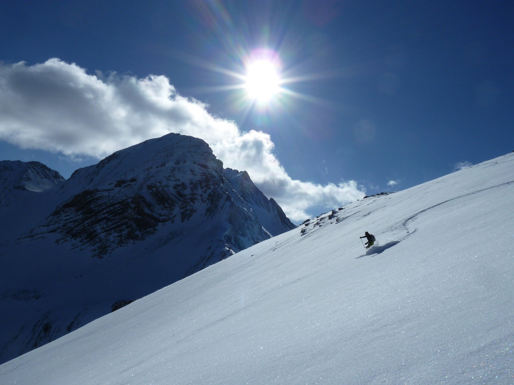
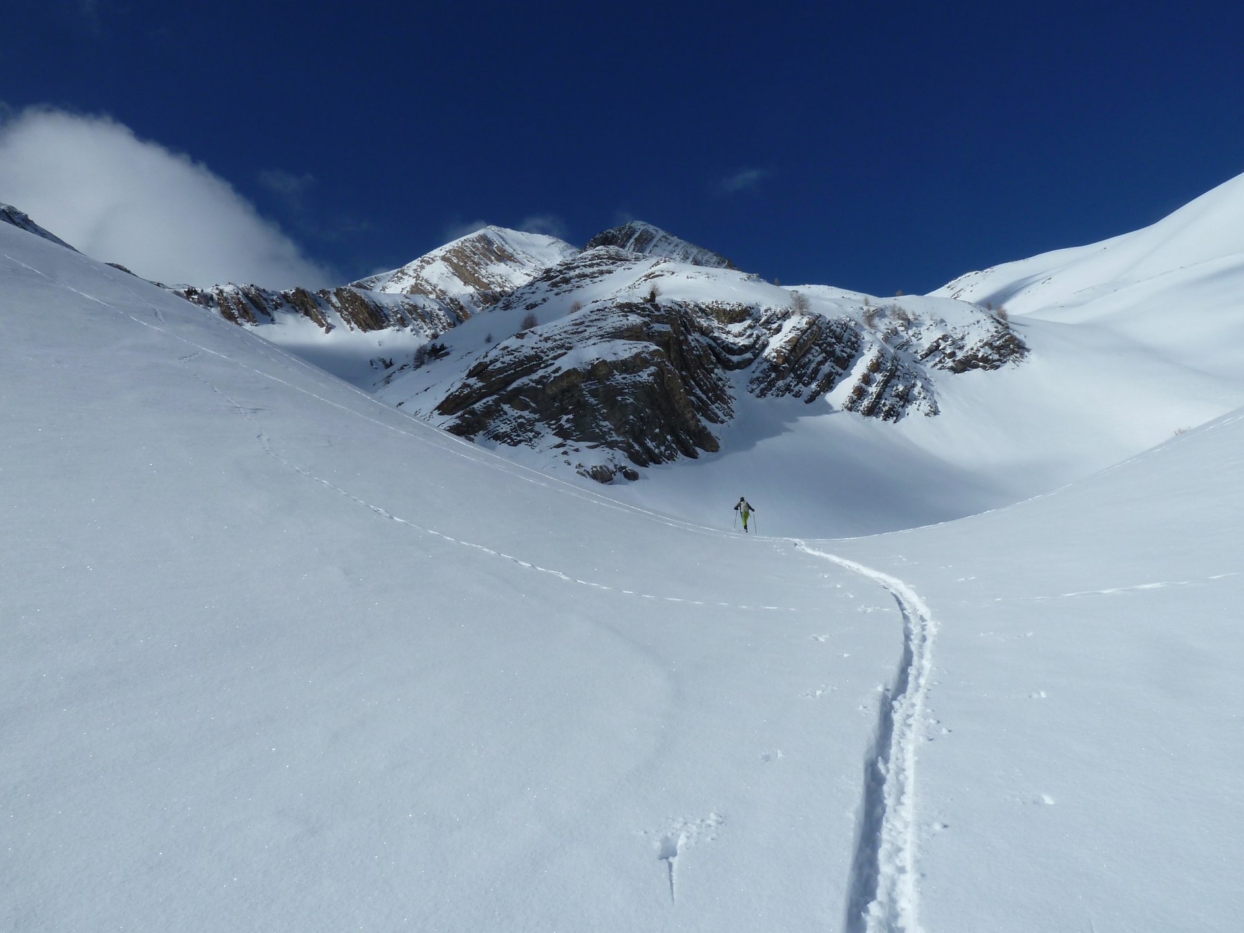

Avvicinamento
 50m
50m
50m
2.3Km
2.3Km
2.3Km
2.3Km
2.3Km
2.3Km
2.3Km
50m
50m
50m
2.3Km
2.3Km
2.3Km
2.3Km
2.3Km
2.3Km
2.3Km
.
Descrizione
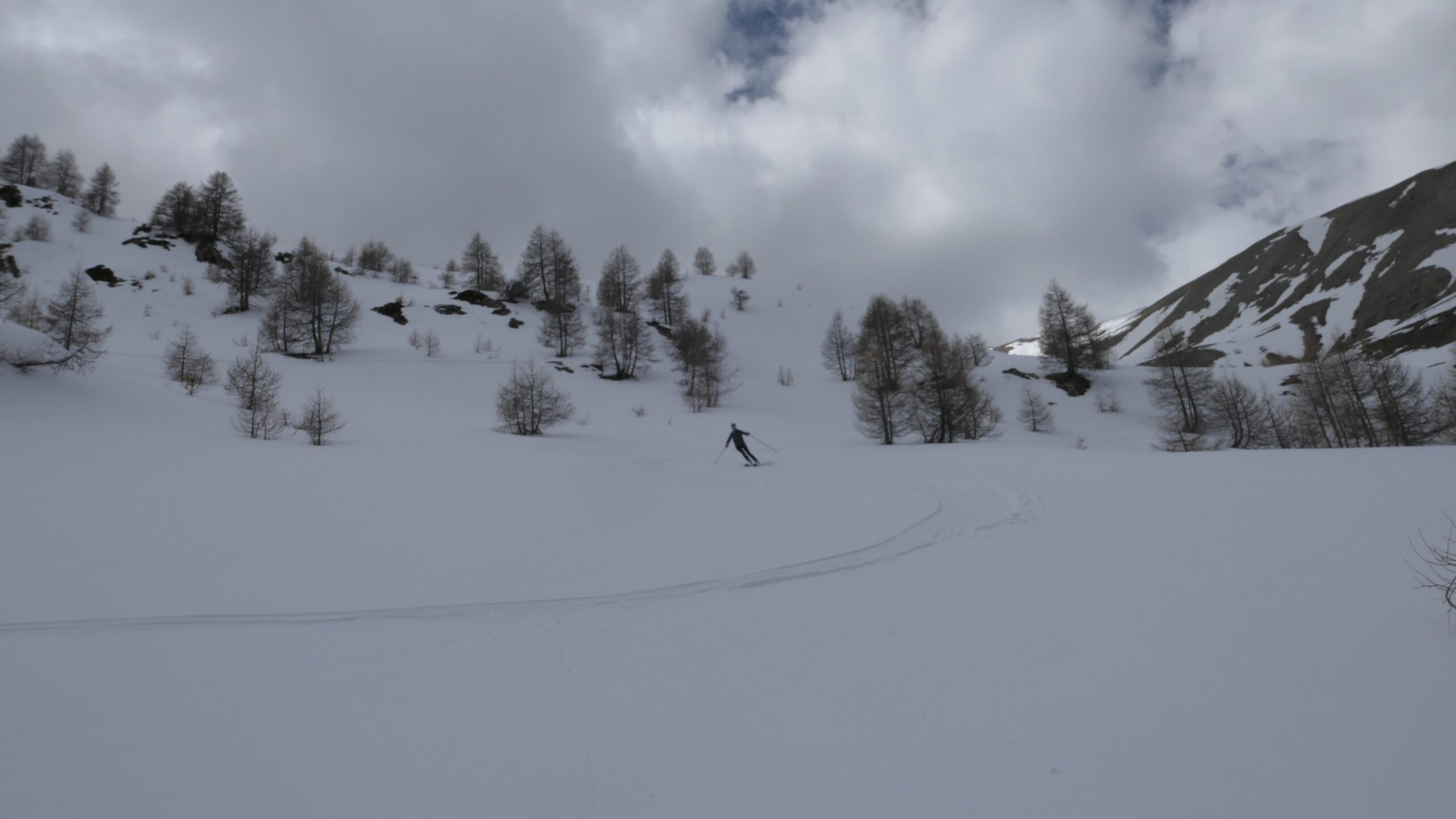
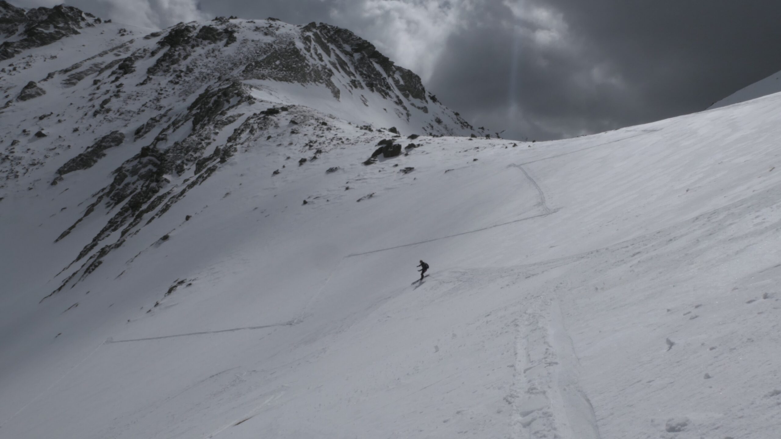
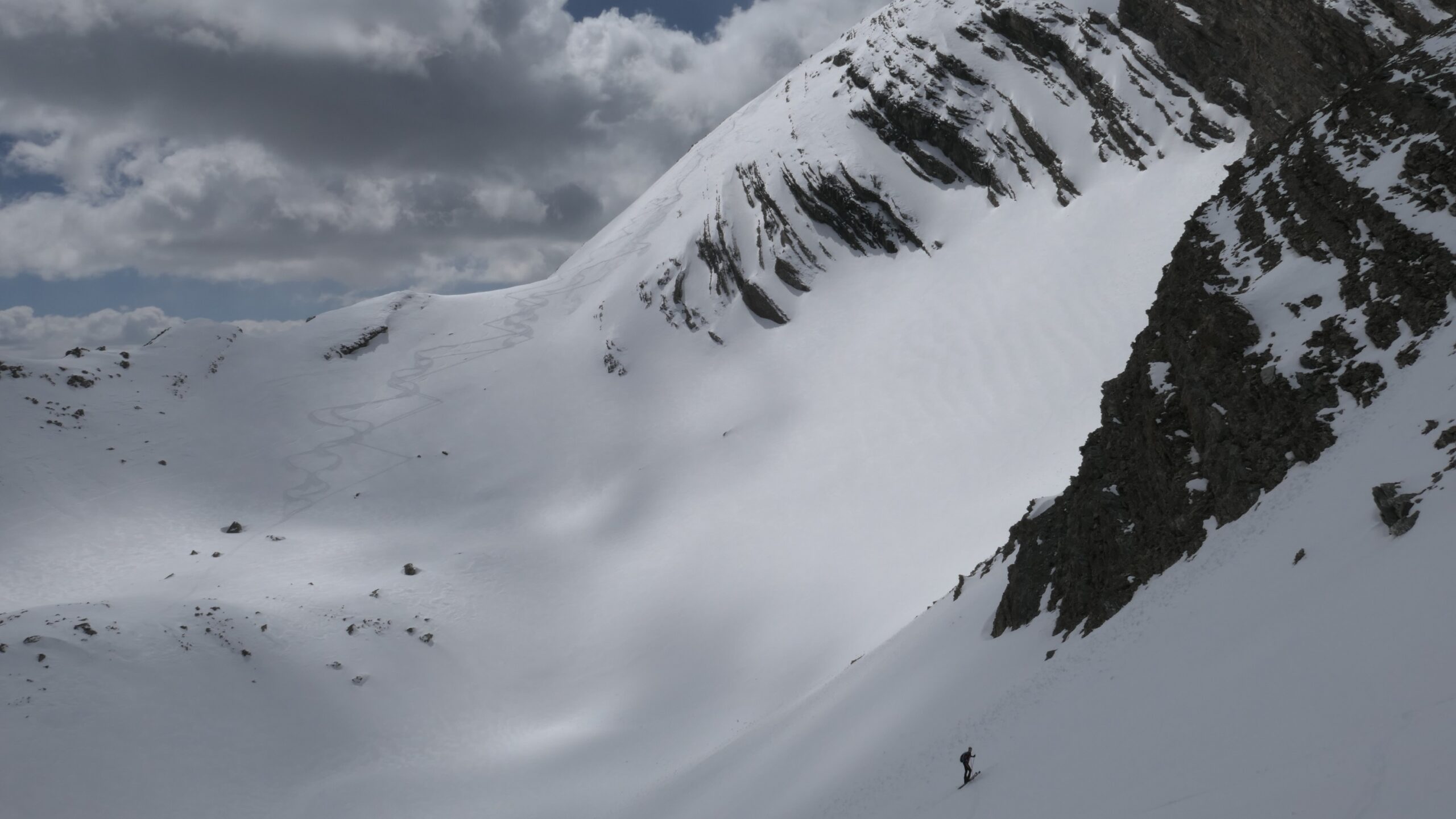
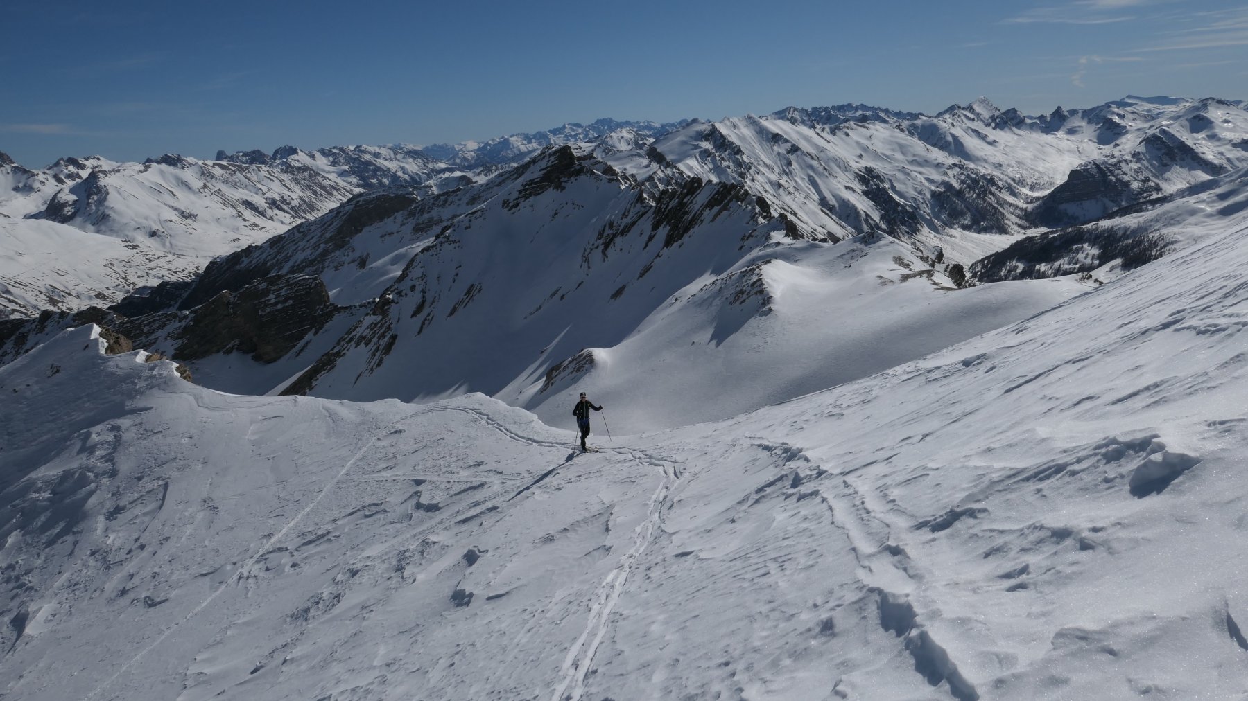
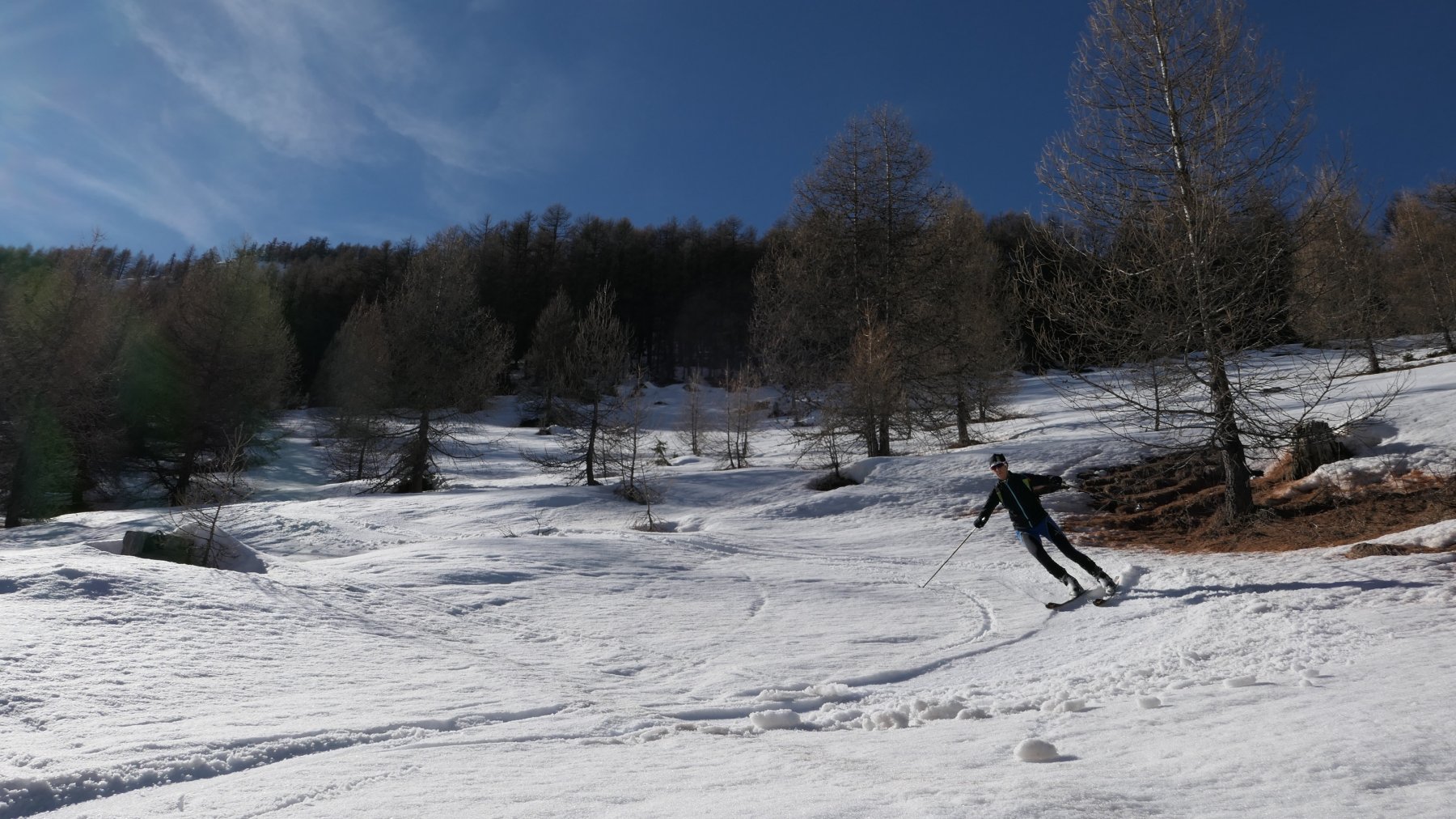
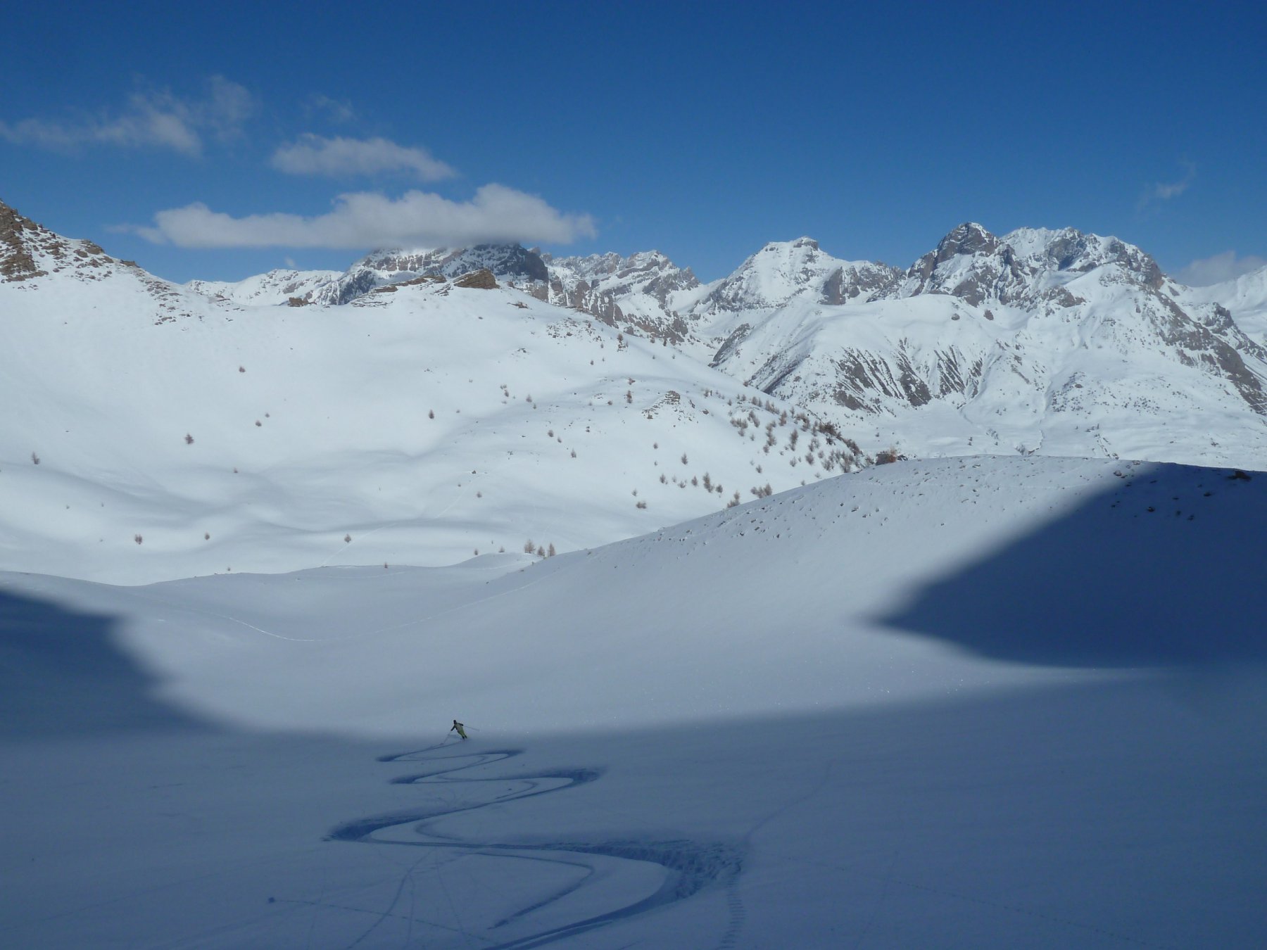
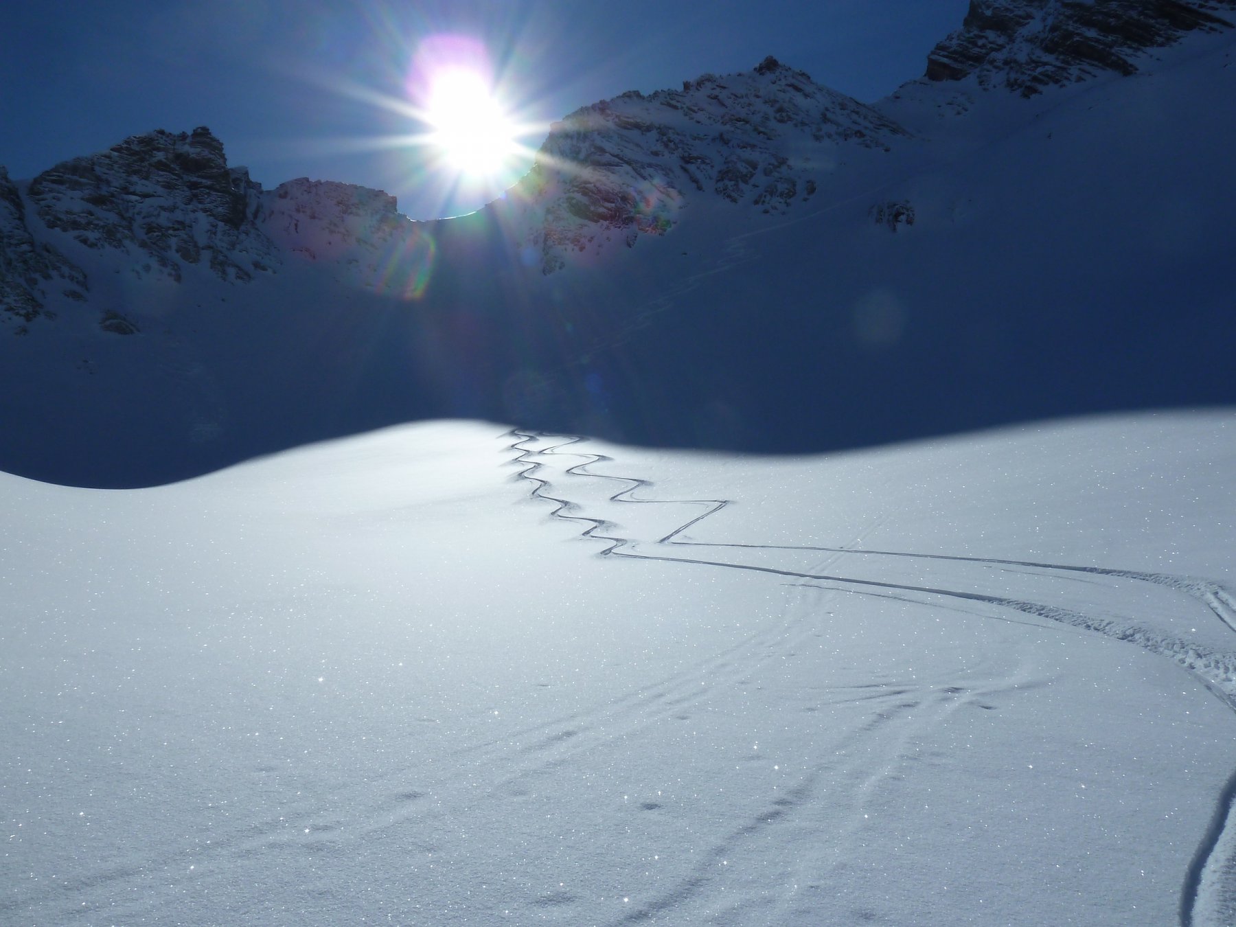
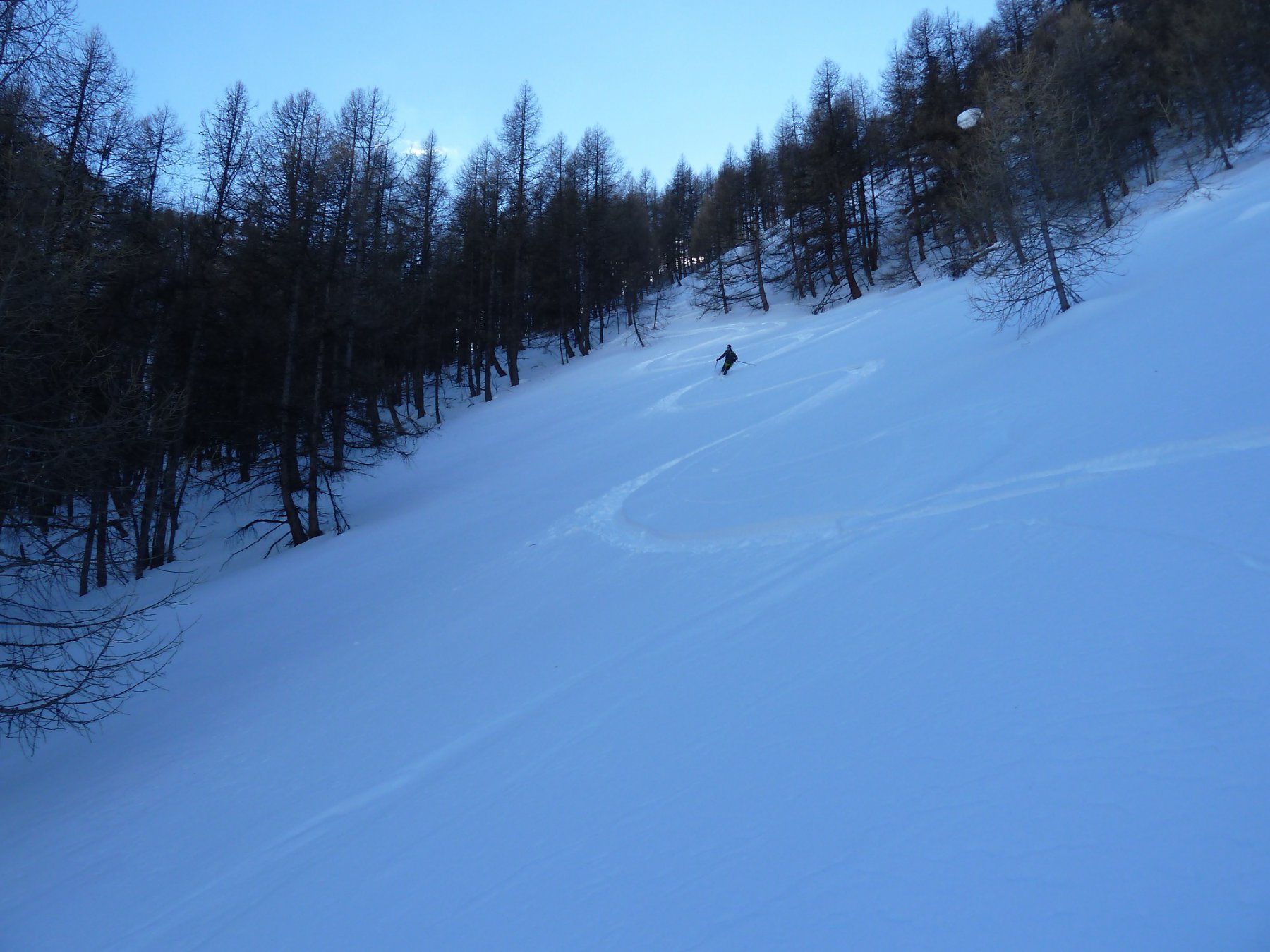
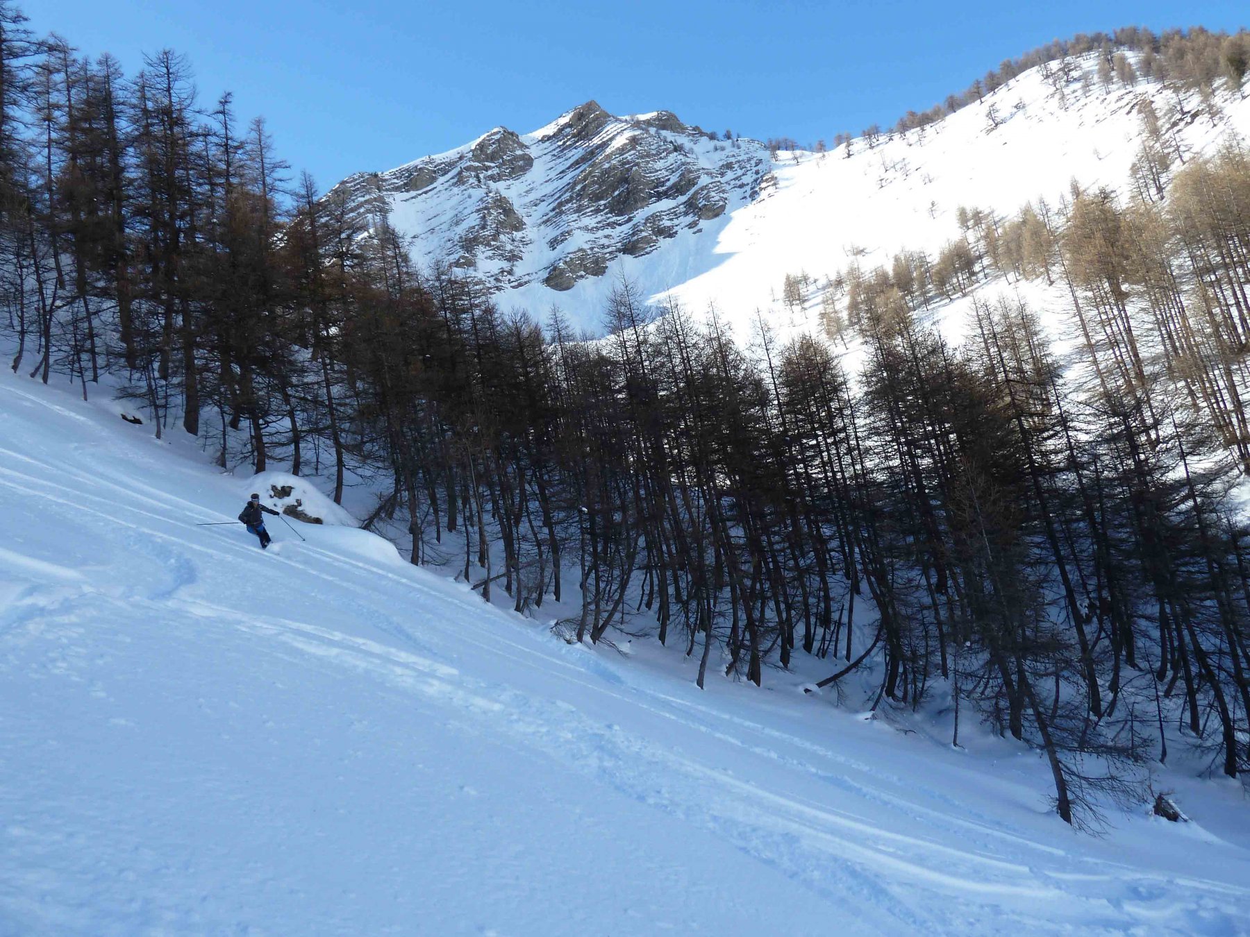
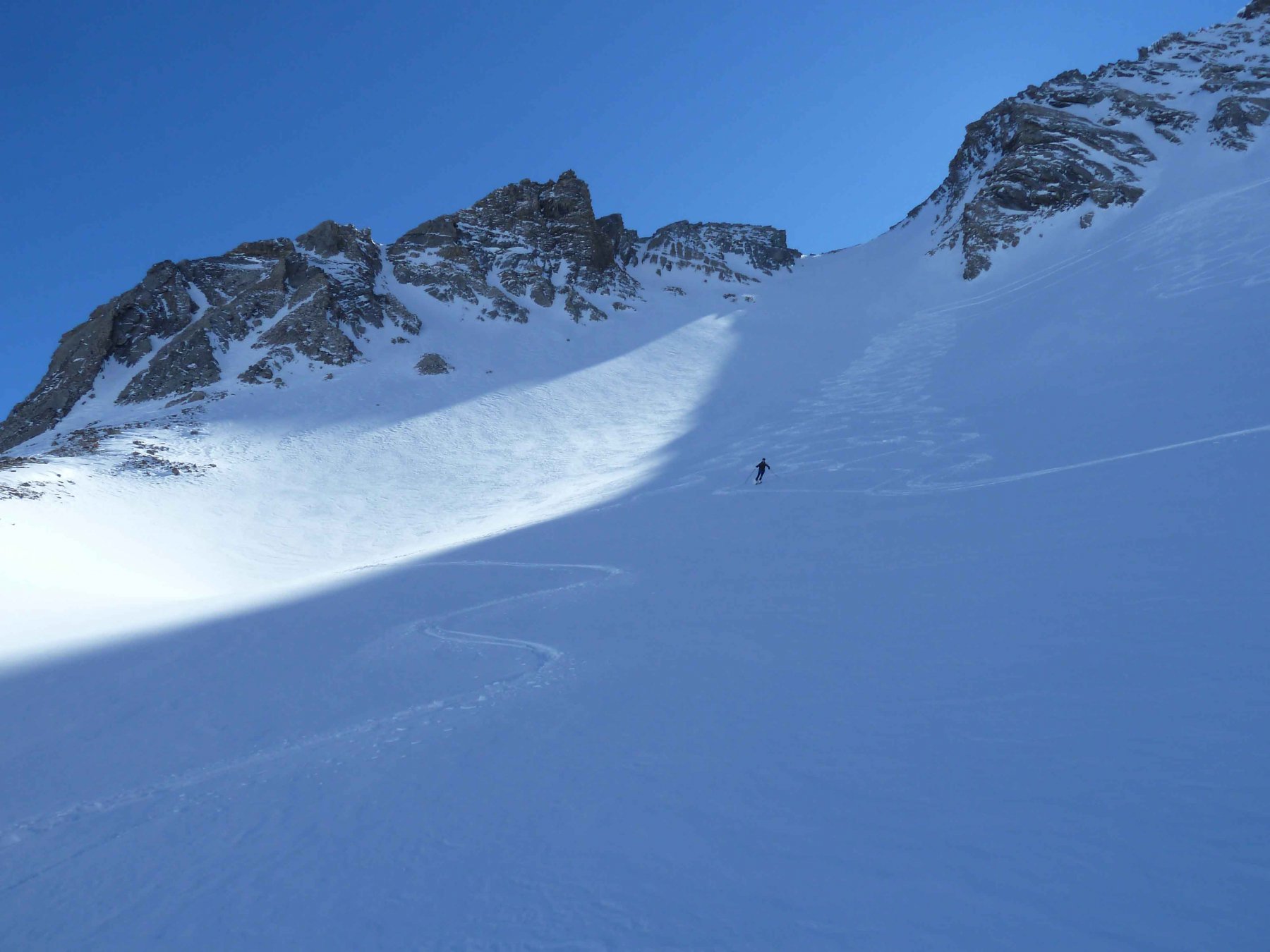
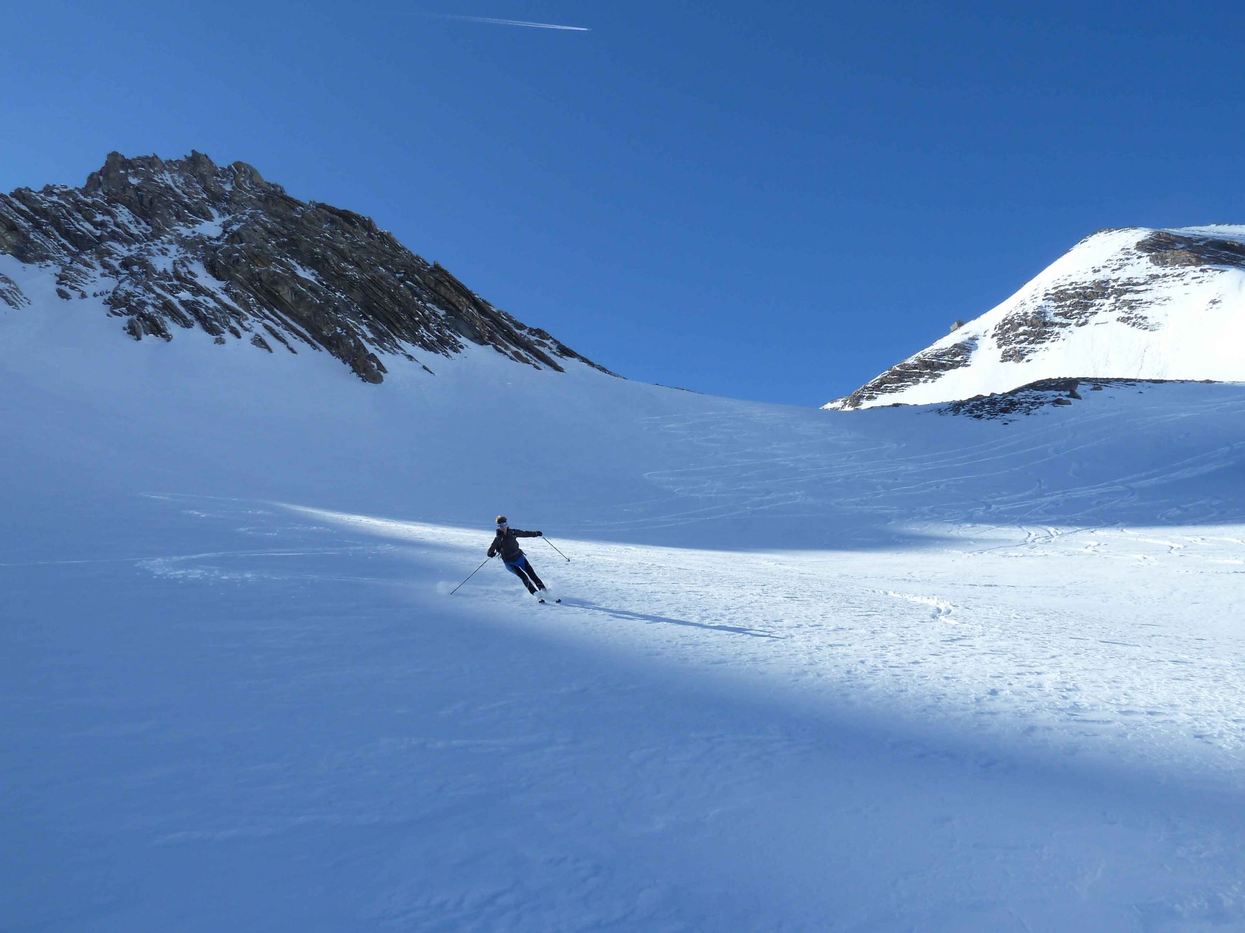
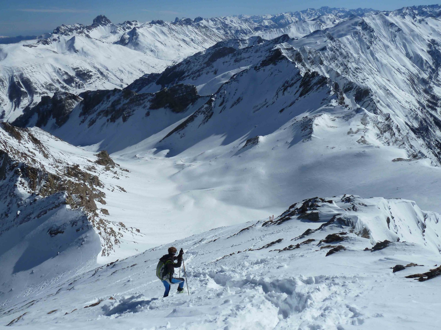
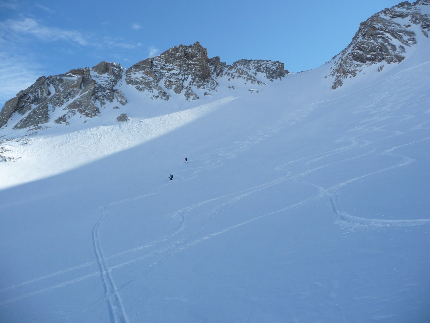
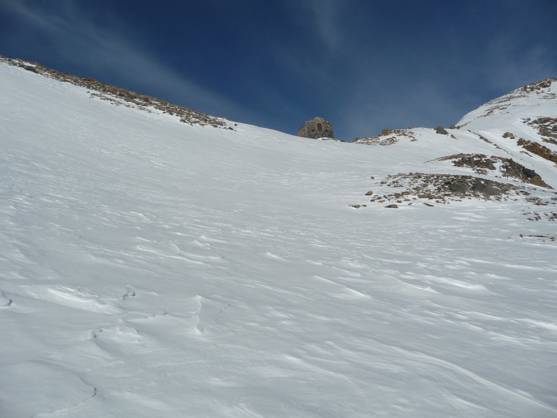
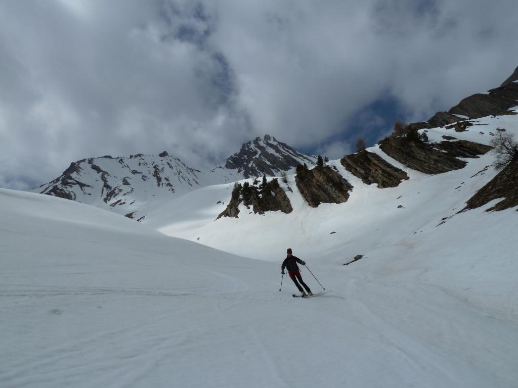
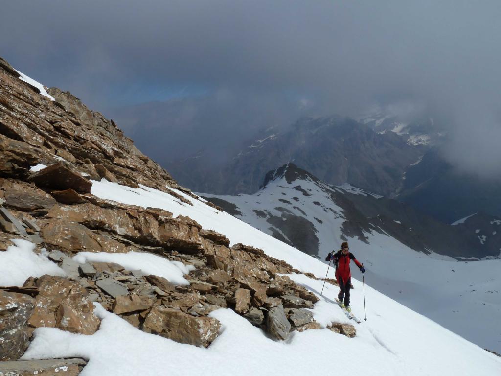
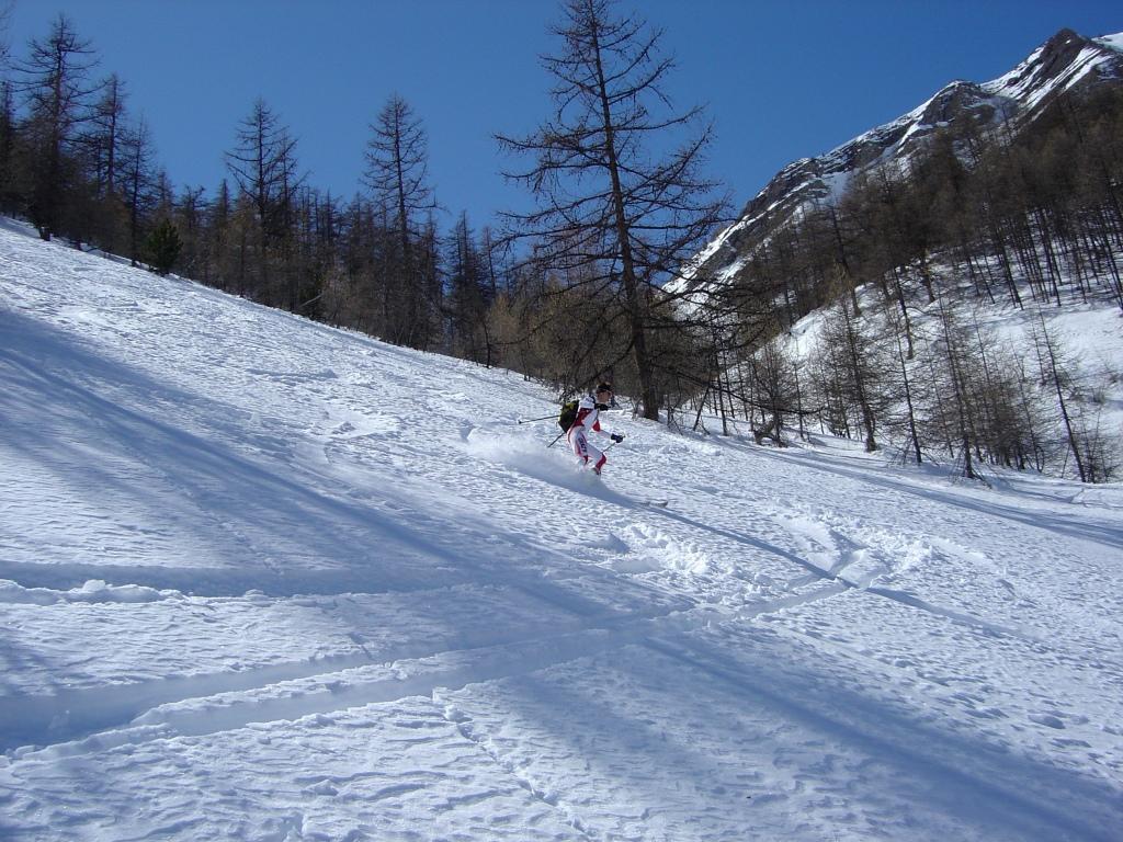
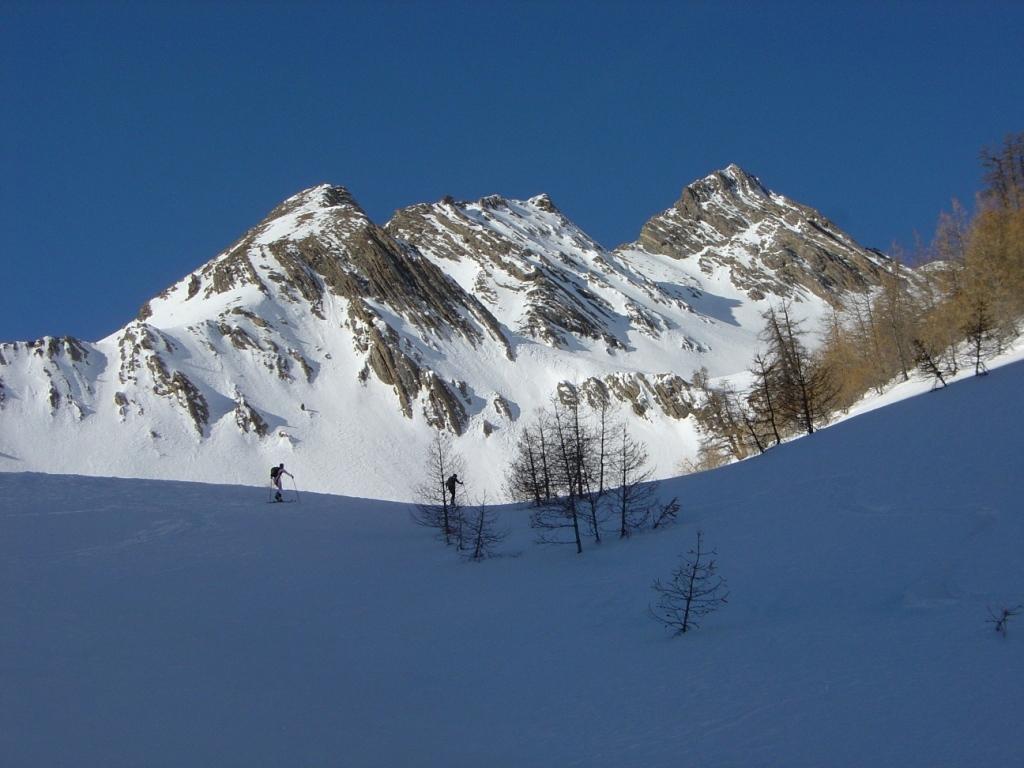
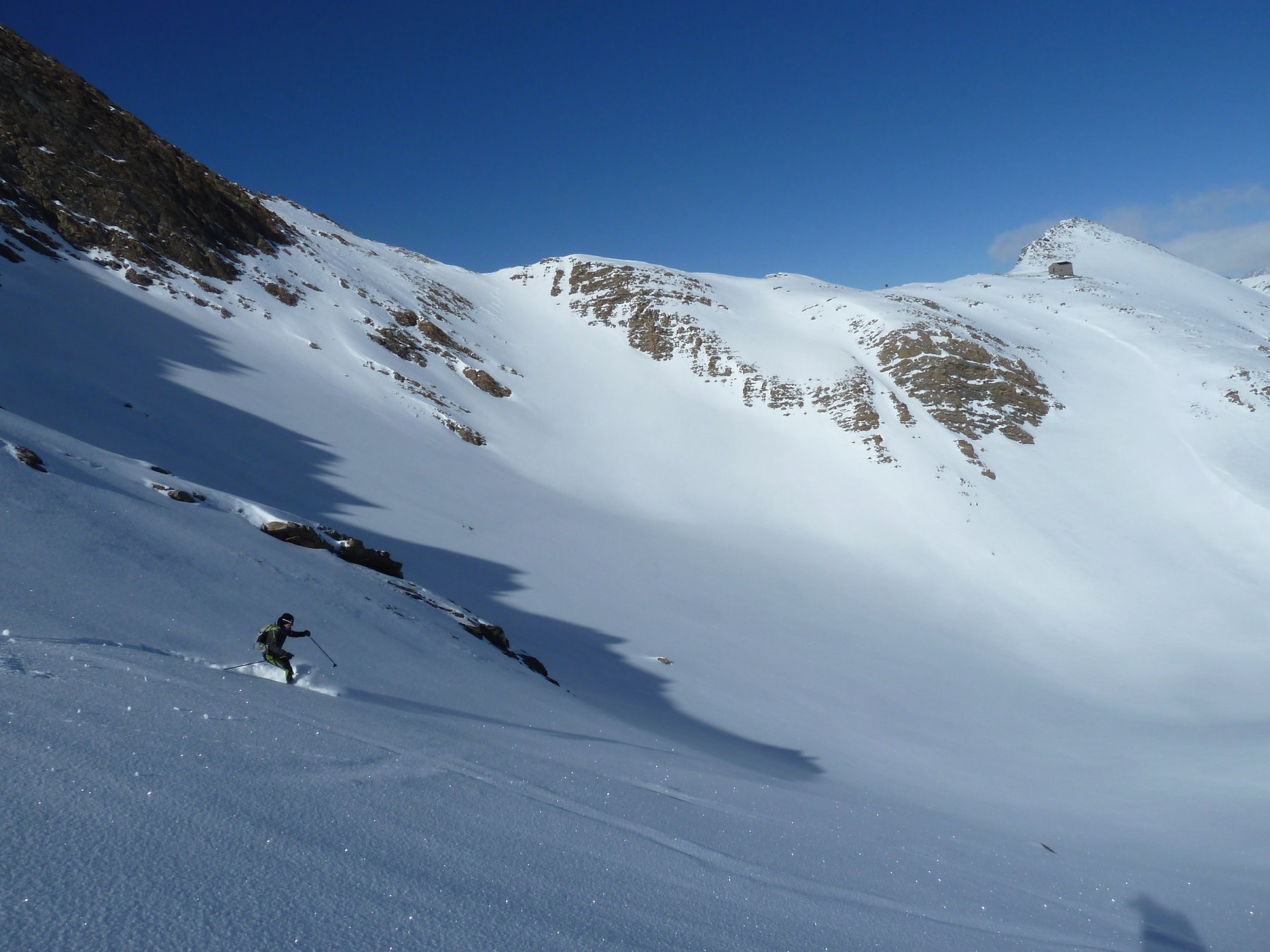
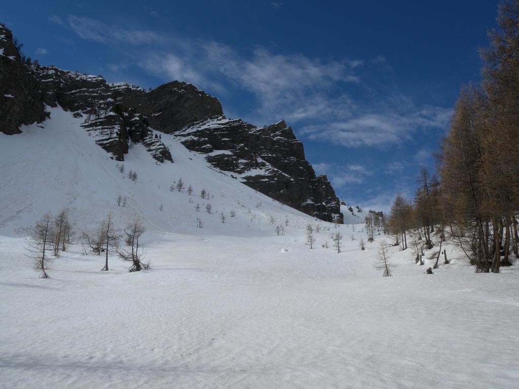
Dalla località di Certamussat situata a circa 2km a valle di Larche si scende una trentina di mt. lungo il fiume dove un ponte di legno permette di raggiungere il vallone di salita. Inizialmente si segue il sentiero estivo nel bosco piuttosto ripido che porta al Vallone principale della Duyere a circa 2150 mt. .Si abbandona la parte boschiva e si prosegue su aperti pendii dove si alternano tratti ripidi a tratti di falso piano raggiungendo il colletto a quota 2900 mt posto tra la crete des lacs froid e la tet de Siguret. Il pendio terminale dal colle alla cima dovrà essere percorso a piedi o con i ramponi se la neve è particolarmente dura. Due sono le possibilità di discesa: sul percorso di salita oppure dal colletto scendere nel vallone Long ai piedi de la tet de coin de l’ours. A circa quota 2300 mt. risalire sula sx un piccolo colletto (2350 mt) che permette di scendere nel vallone di salita della Duyere.
- Cartografia:
- 3538 IGN
- Bibliografia:
- Les Alpes du sud a skis
Nelle vicinanze Mappa
Itinerari
02/01/2019 Alpes-de-Haute-Provence, Val-d'Oronaye D+ 1200 m BS Varie
Duyère (Crète de la) da Certamussat per il Vallon de la Duyère
 50m
50m
21/04/2014 Alpes-de-Haute-Provence, Val-d'Oronaye D+ 1350 m BSA Nord
Coin de l’Ours (Tête du) da Certamussat per il Vallon Long
 50m
50m
06/01/2023 Alpes-de-Haute-Provence, Val-d'Oronaye D+ 1022 m BS Sud-Ovest
Roir Alp da Certamussat
 50m
50m
09/03/2014 Alpes-de-Haute-Provence, Val-d'Oronaye D+ 907 m BS Nord
Lombard (Chateau) da Larche per il Vallon de Courrouit
 2.3Km
2.3Km
02/03/2025 Alpes-de-Haute-Provence, Val-d'Oronaye D+ 1100 m BS Sud
Viraysse (Tete de) da Saint Ours per il Col de Mallemort
 2.3Km
2.3Km
28/02/2025 Alpes-de-Haute-Provence, Val-d'Oronaye D+ 1150 m OS Varie
David (Pas de) da Larche, giro per il Collet du Serpent
 2.3Km
2.3Km
15/02/2025 Alpes-de-Haute-Provence, Val-d'Oronaye D+ 1124 m MS Nord-Est
Plate Longe (Tete de) da Larche
 2.3Km
2.3Km
05/04/2026 Alpes-de-Haute-Provence, Val-d'Oronaye D+ 1115 m BSA Nord-Est
Chamois (Pic du) da Larche per il Vallon de Courrouit
 2.3Km
2.3Km
12/01/2020 Alpes-de-Haute-Provence, Val-d'Oronaye D+ 1200 m BS Varie
Portiolette e Mallemort (Colli) da Larche, giro della Meyna
 2.3Km
2.3Km
15/02/2025 Alpes-de-Haute-Provence, Val-d'Oronaye D+ 1145 m BS Varie
Aigle (Bec de l’) da Larche per il versante est dal Vallon Bernard
 2.3Km
2.3Km