5.2Km
5.2Km


Avvicinamento
 0m
50m
50m
50m
50m
50m
50m
50m
50m
50m
0m
50m
50m
50m
50m
50m
50m
50m
50m
50m
.
Descrizione
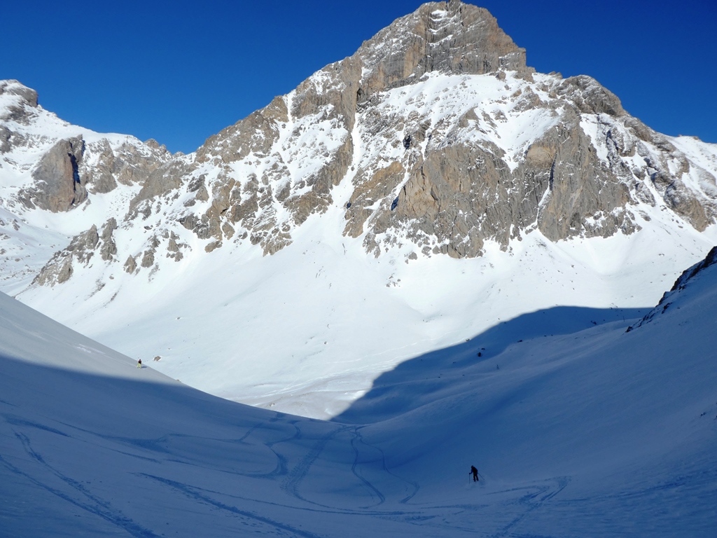
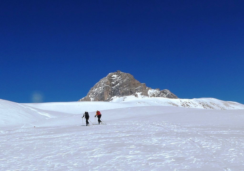
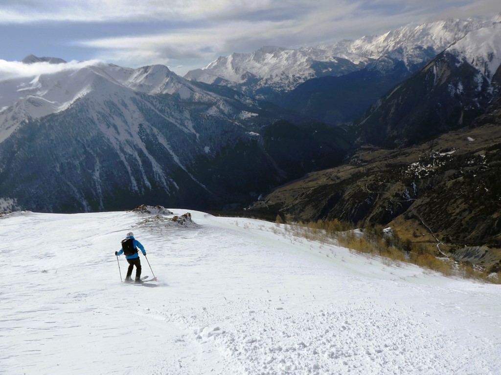
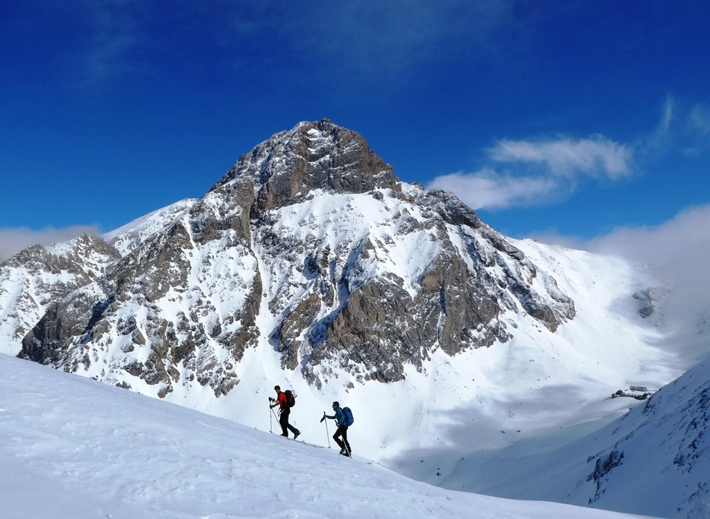
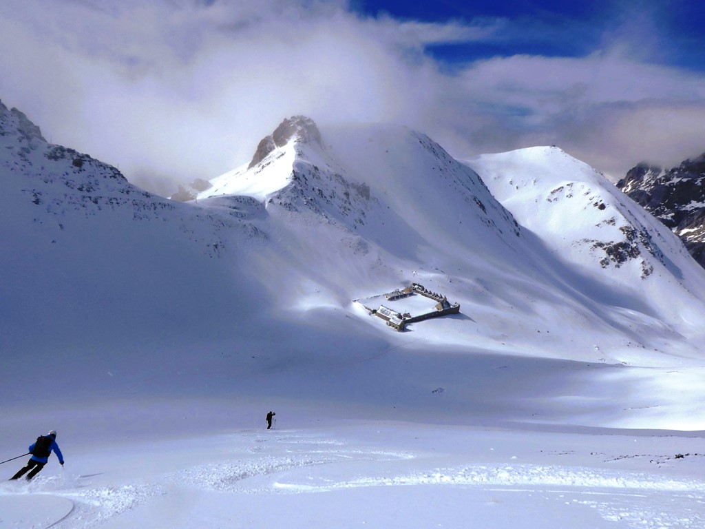
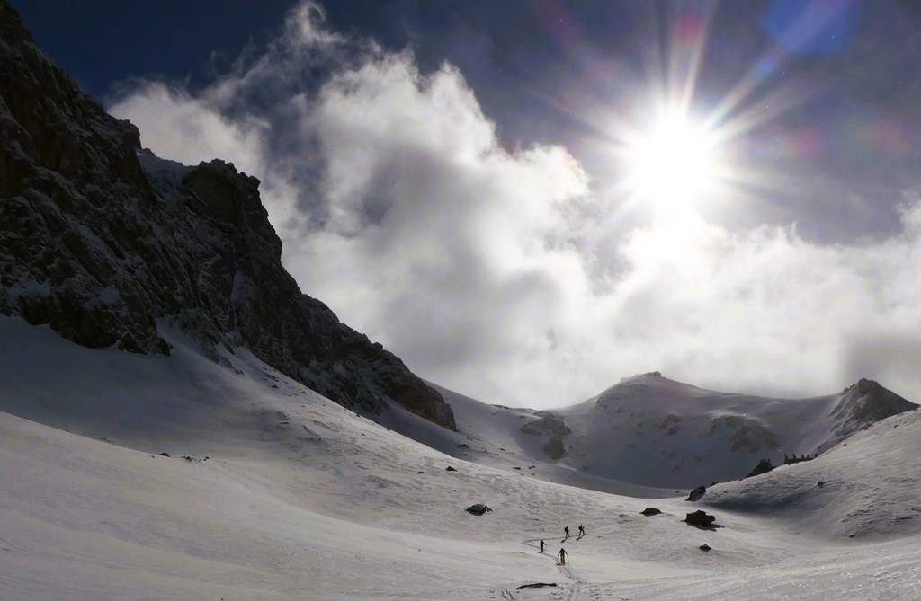
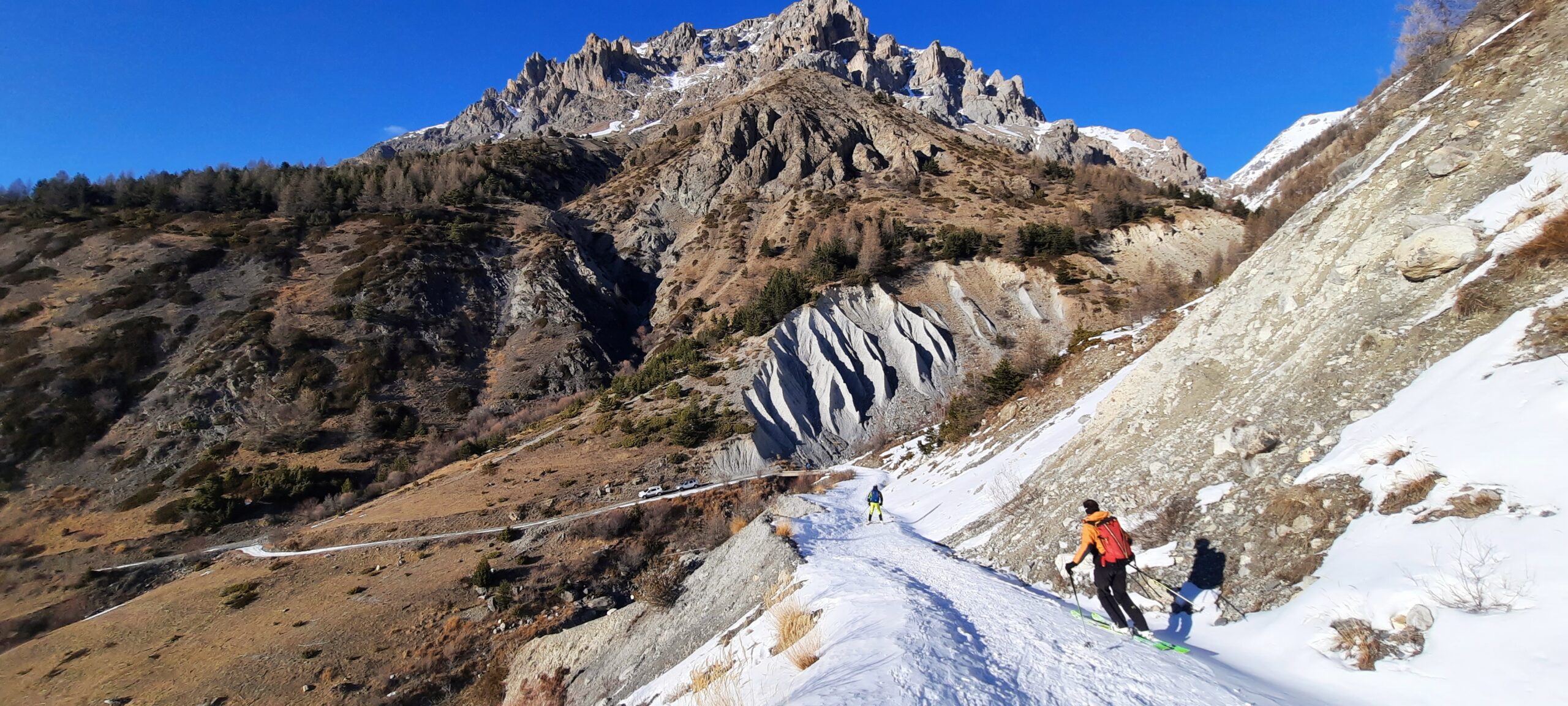
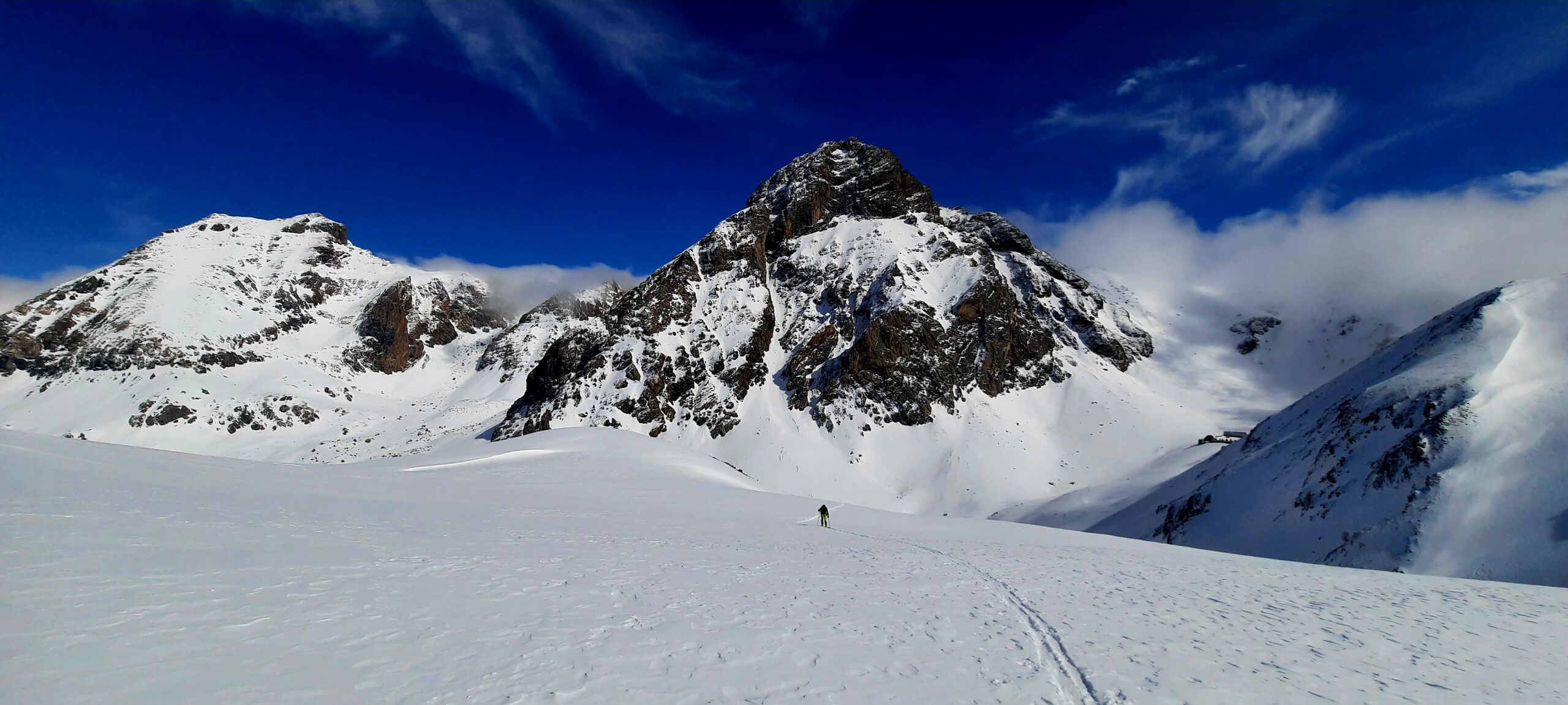
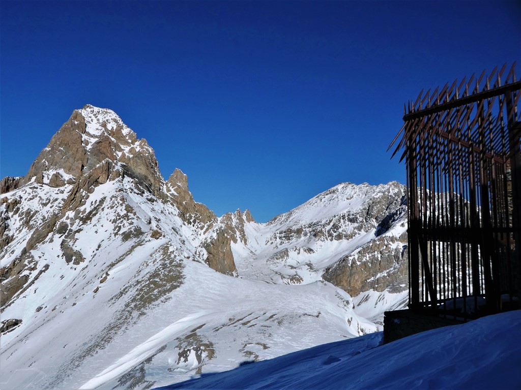
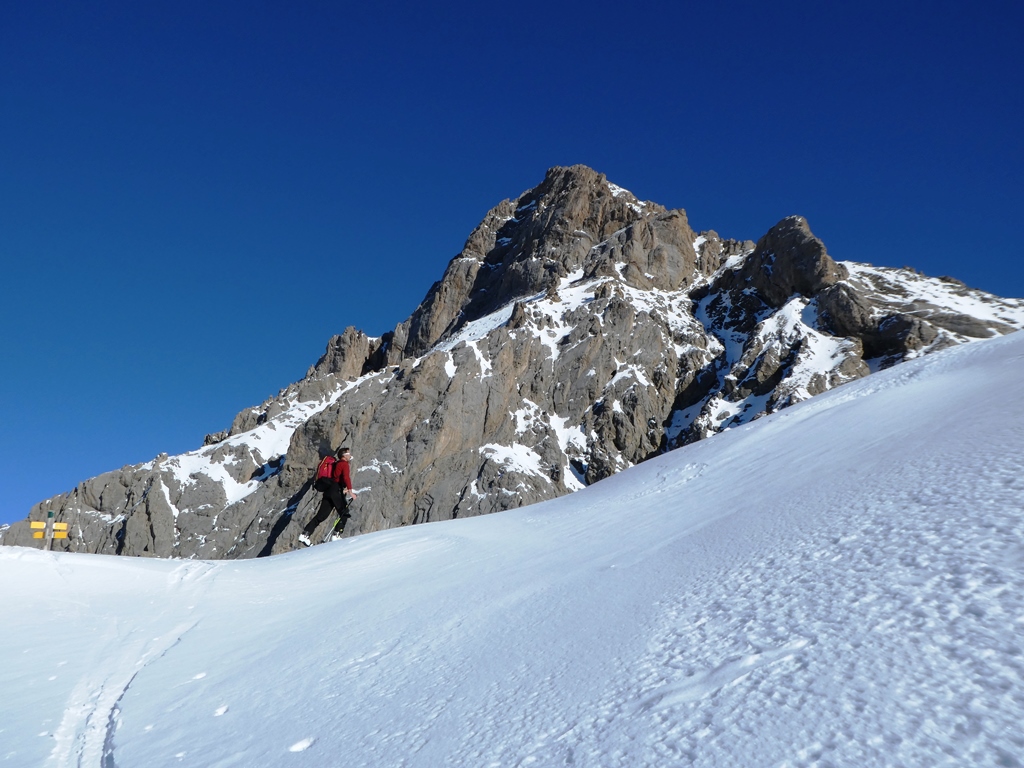
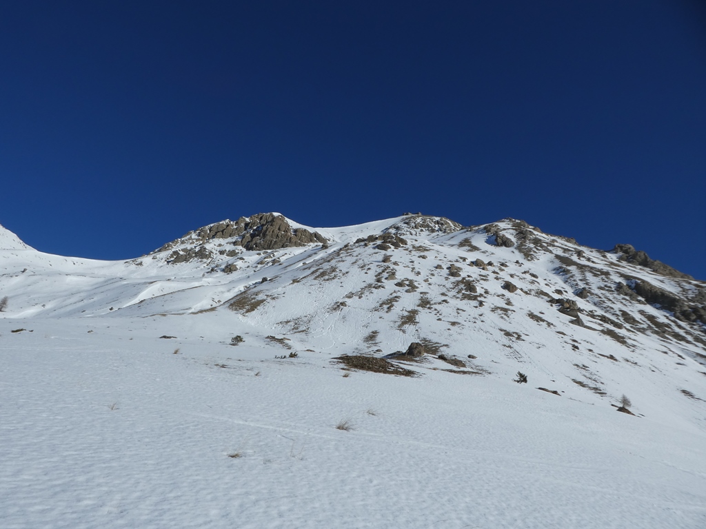
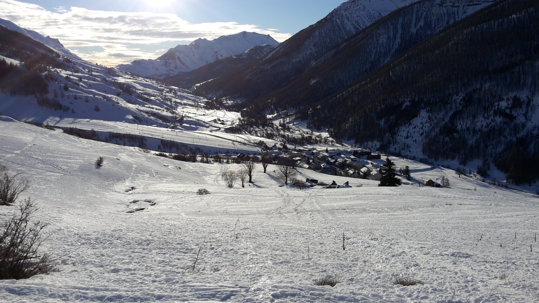
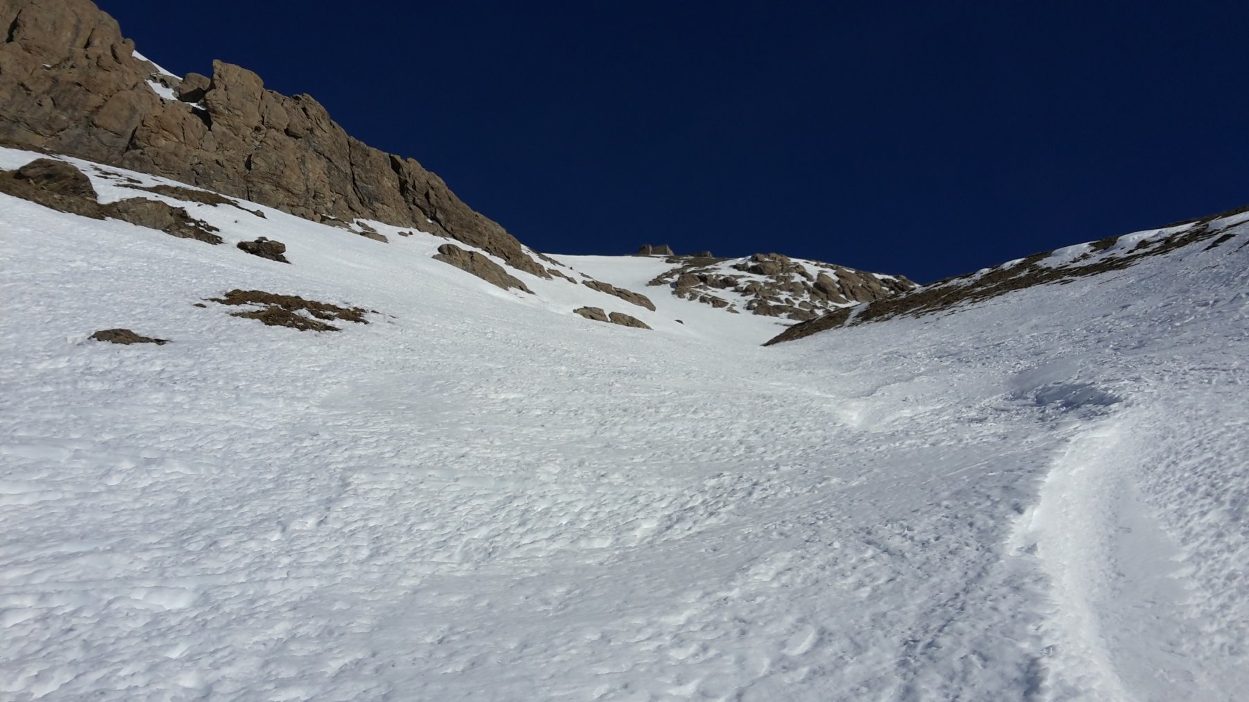
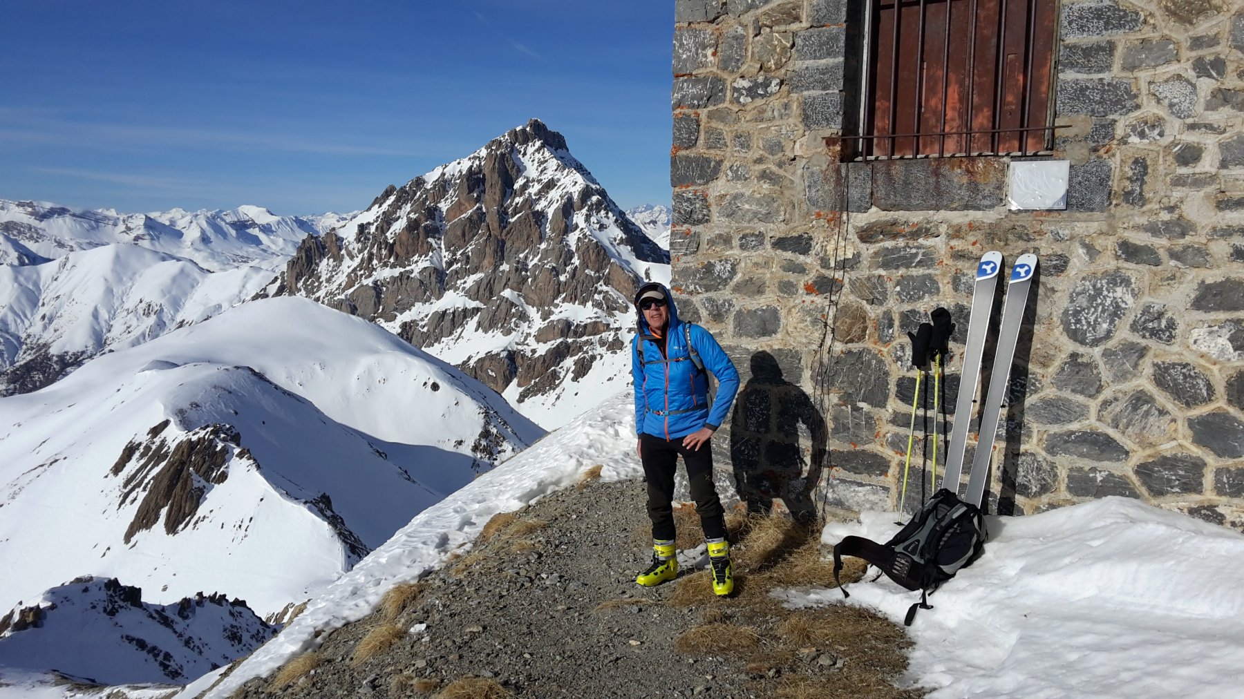
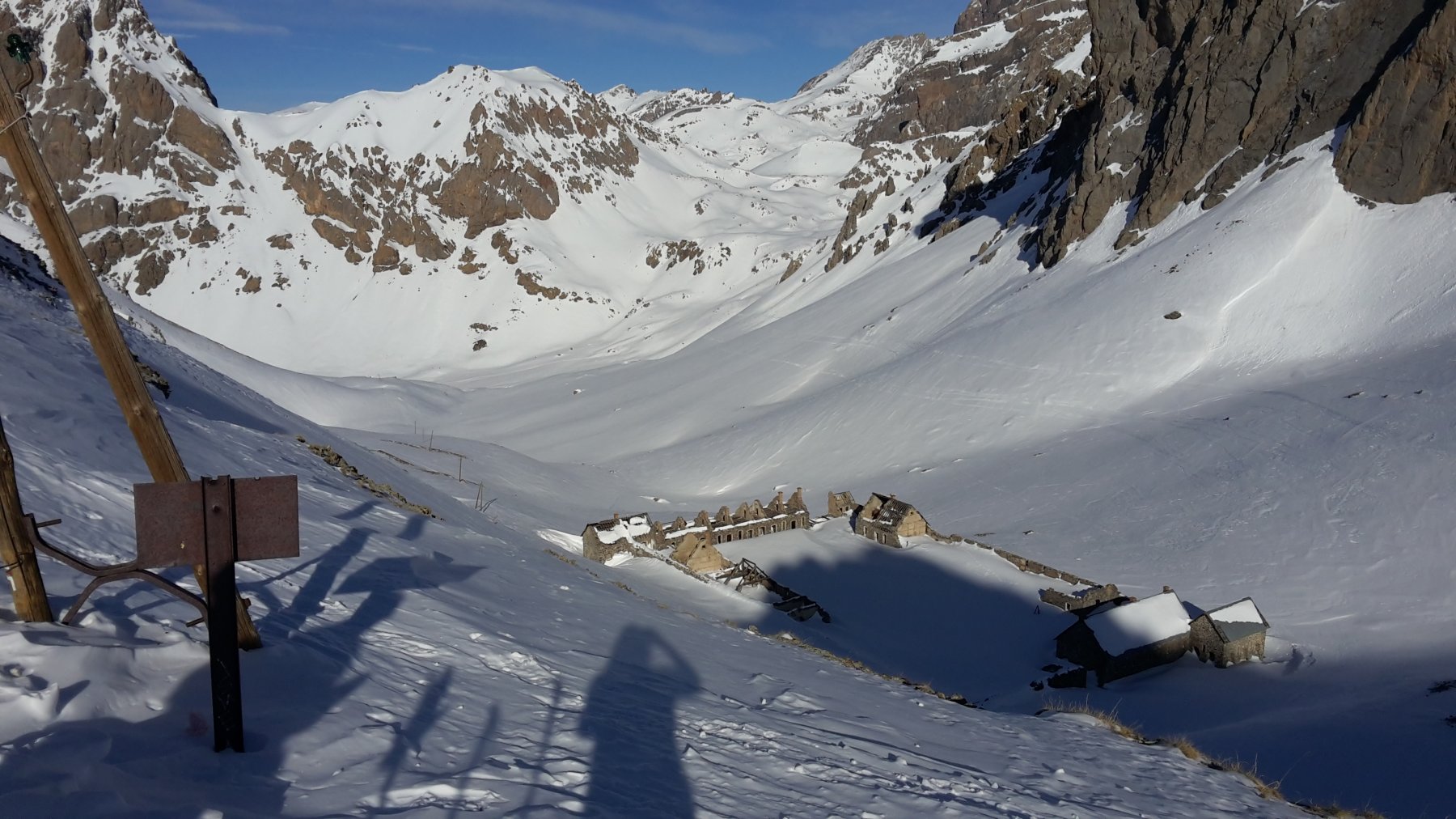
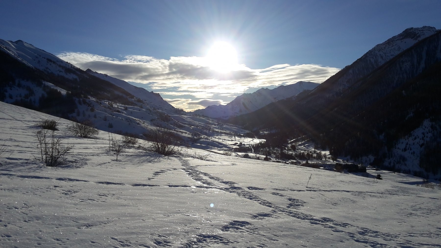
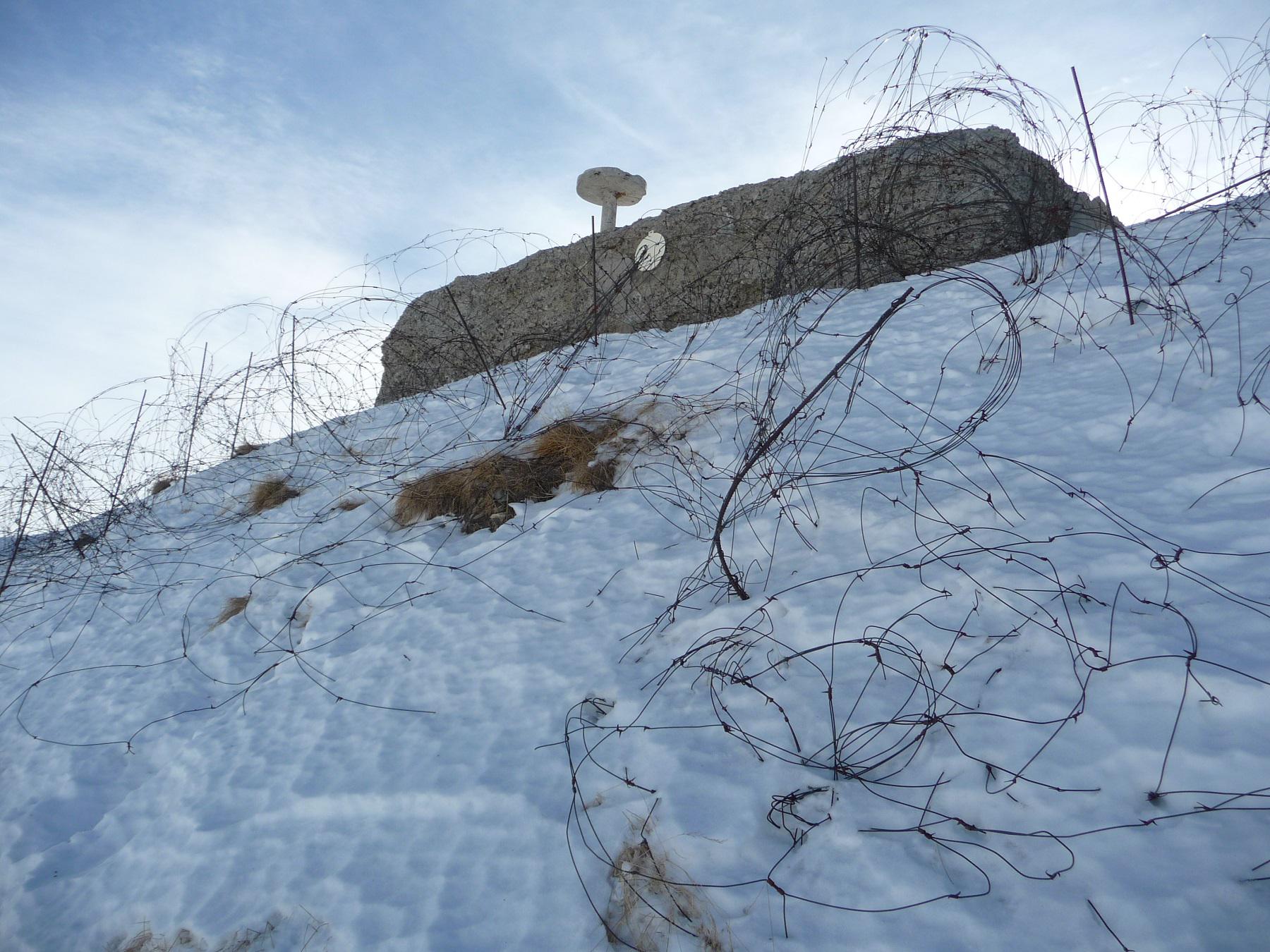
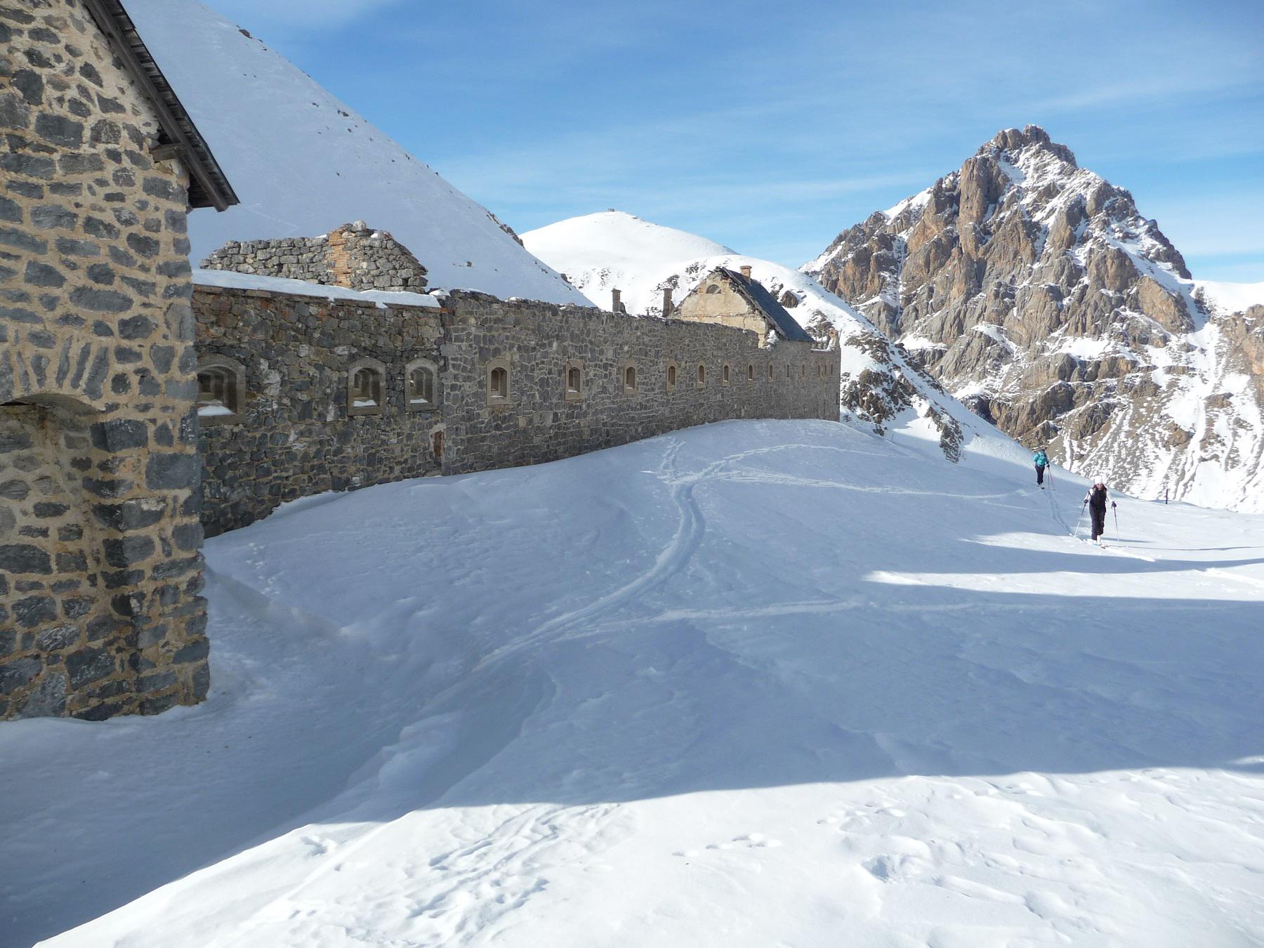
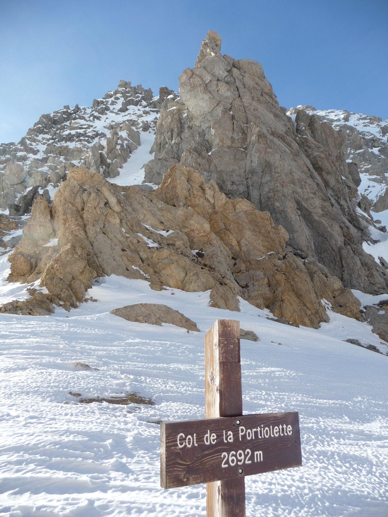
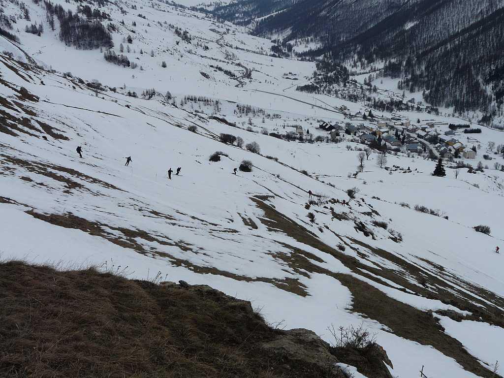
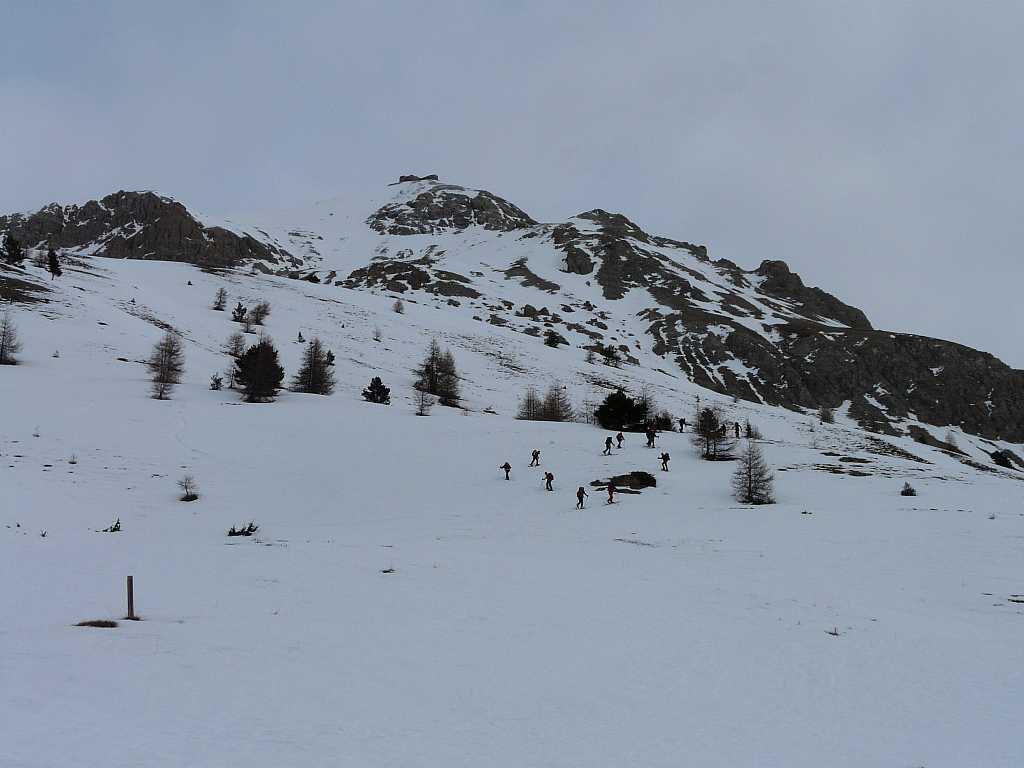
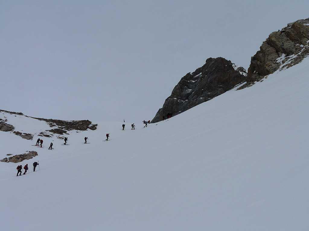
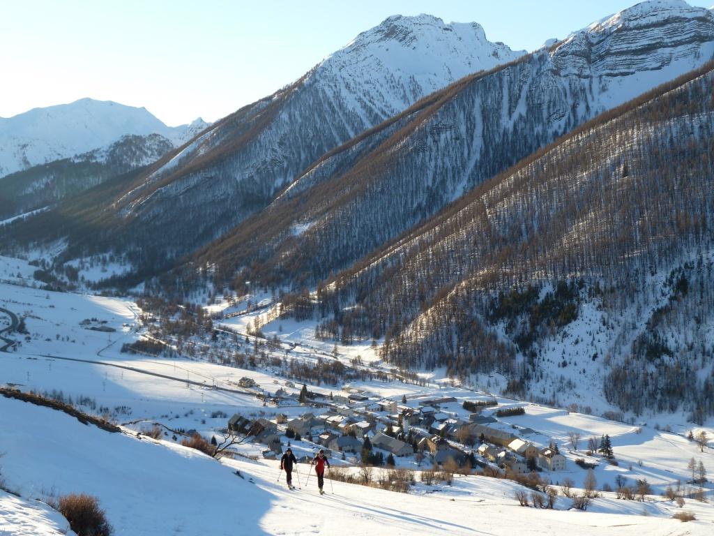
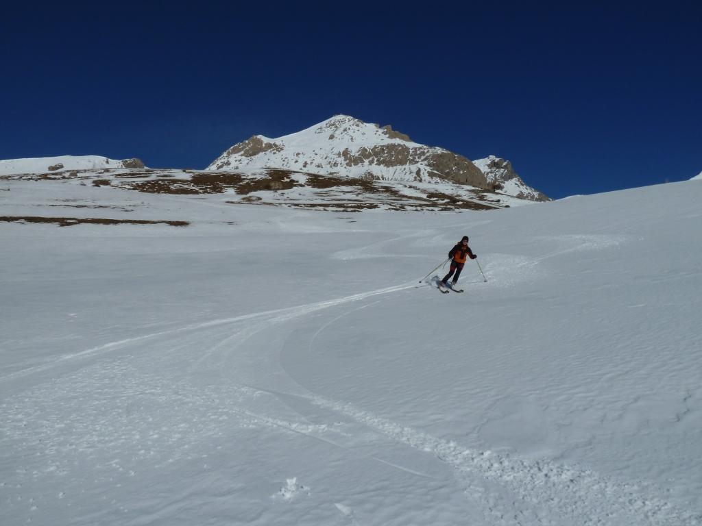
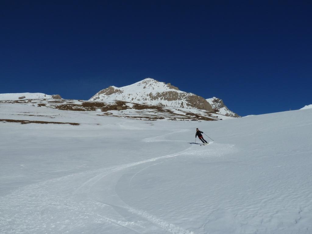
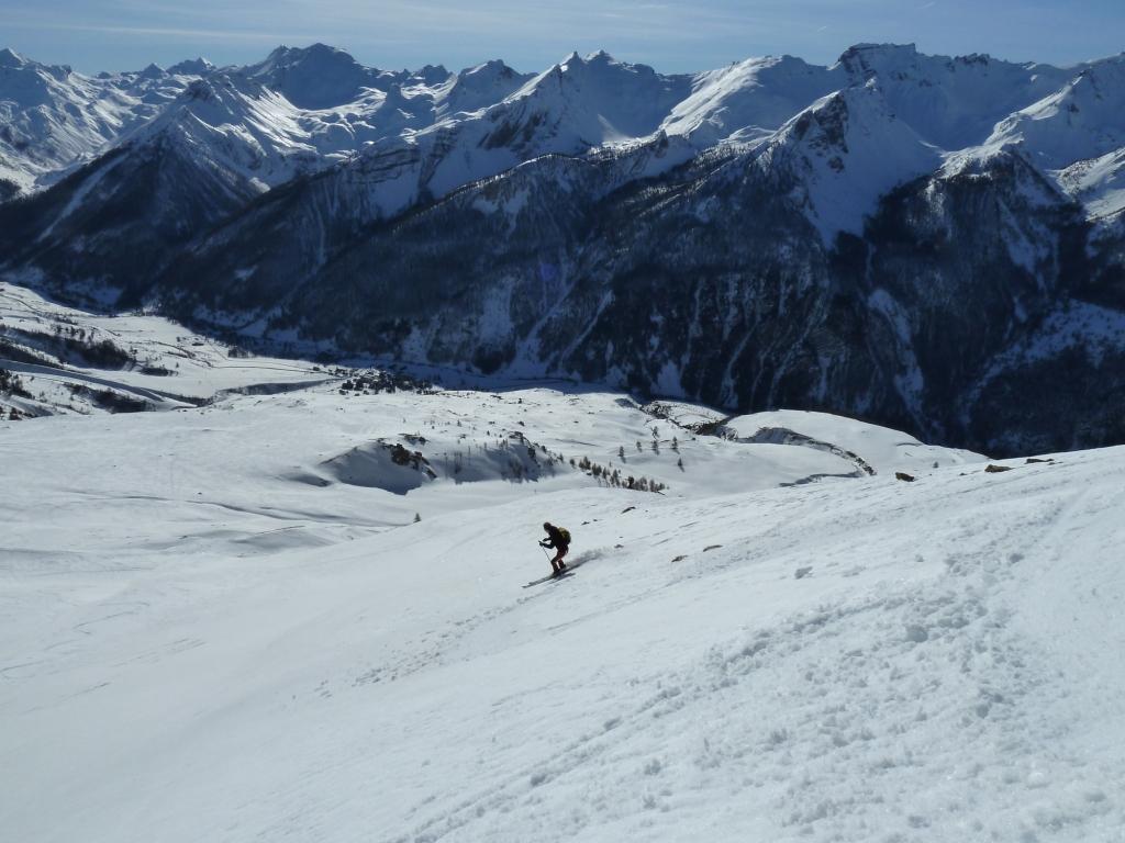
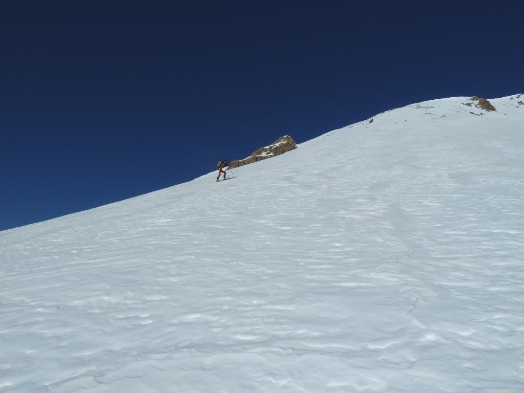
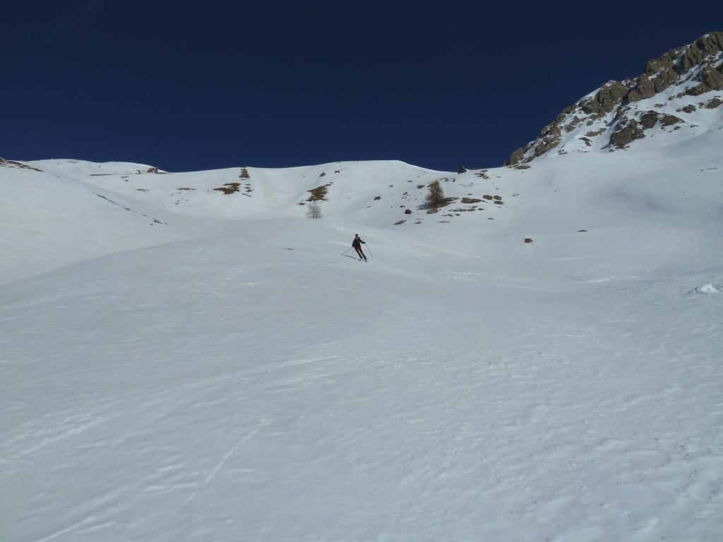
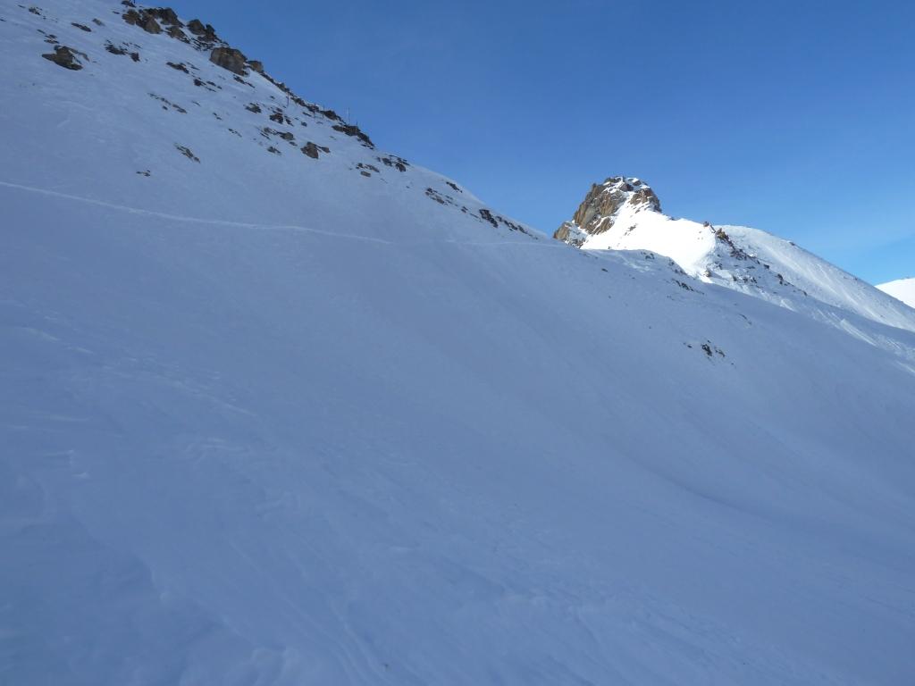
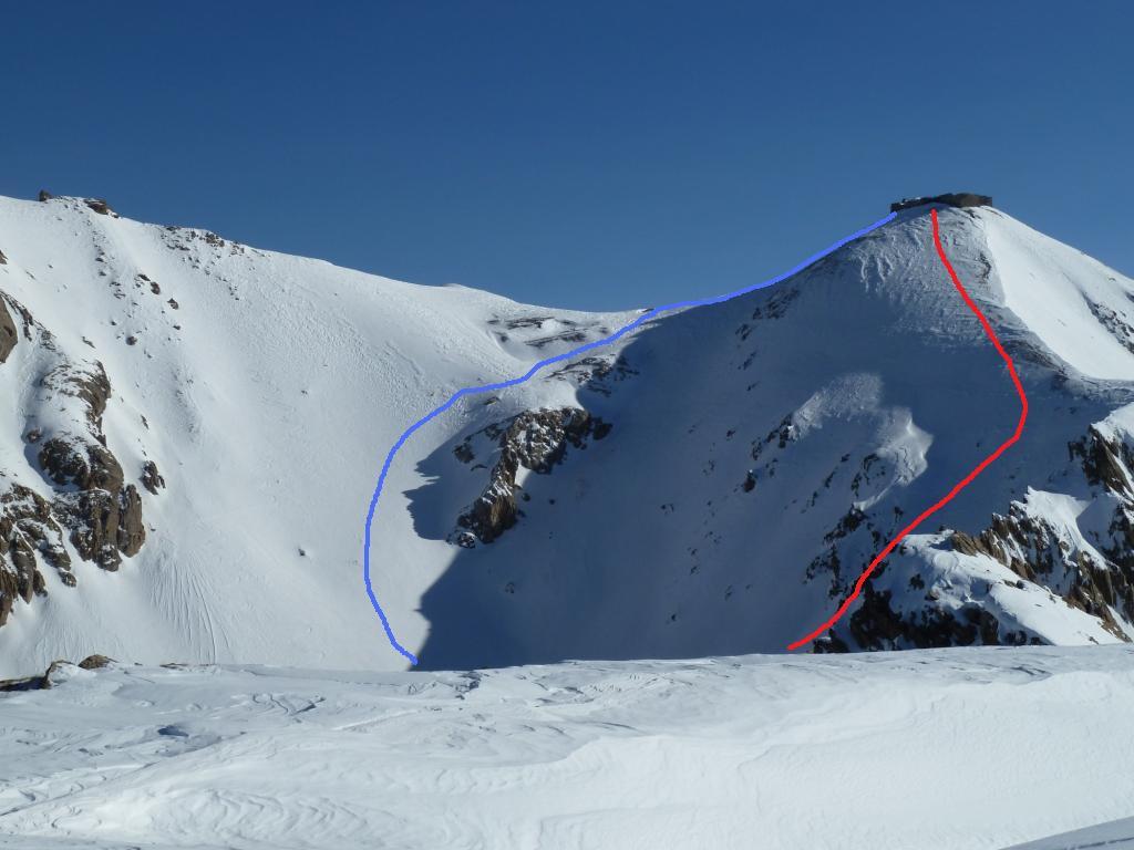
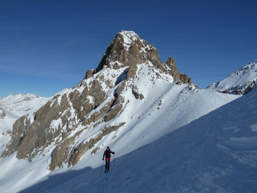
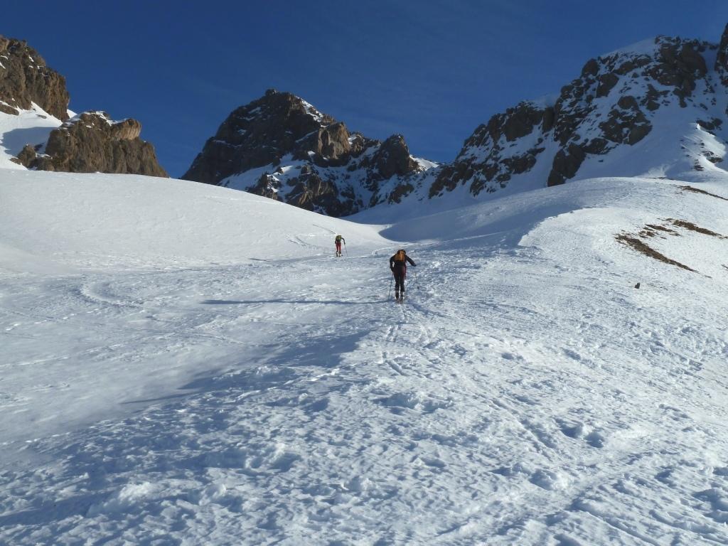
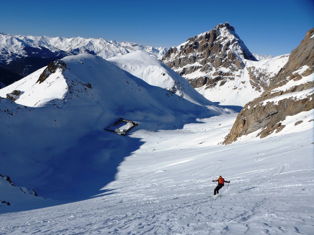
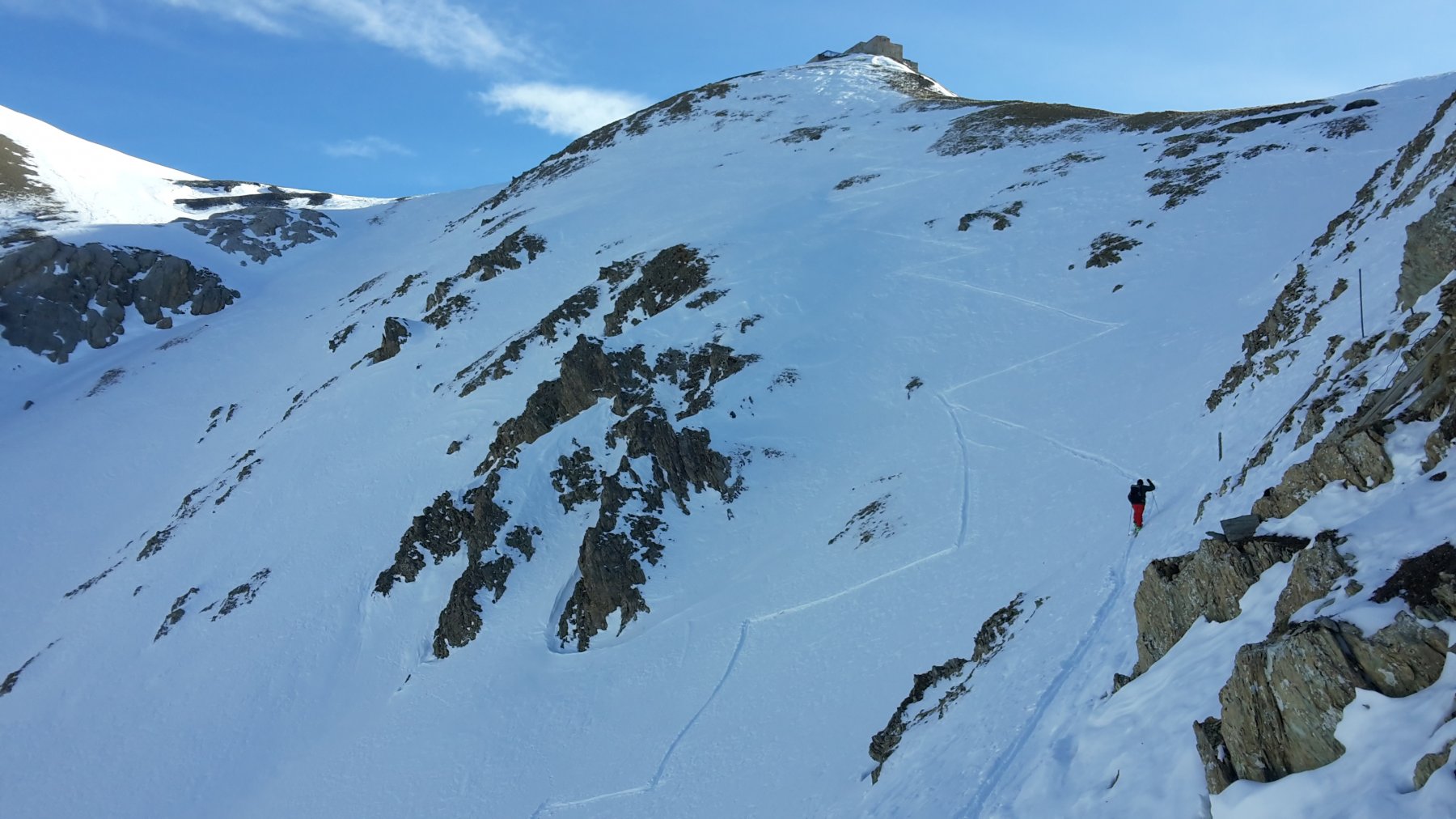
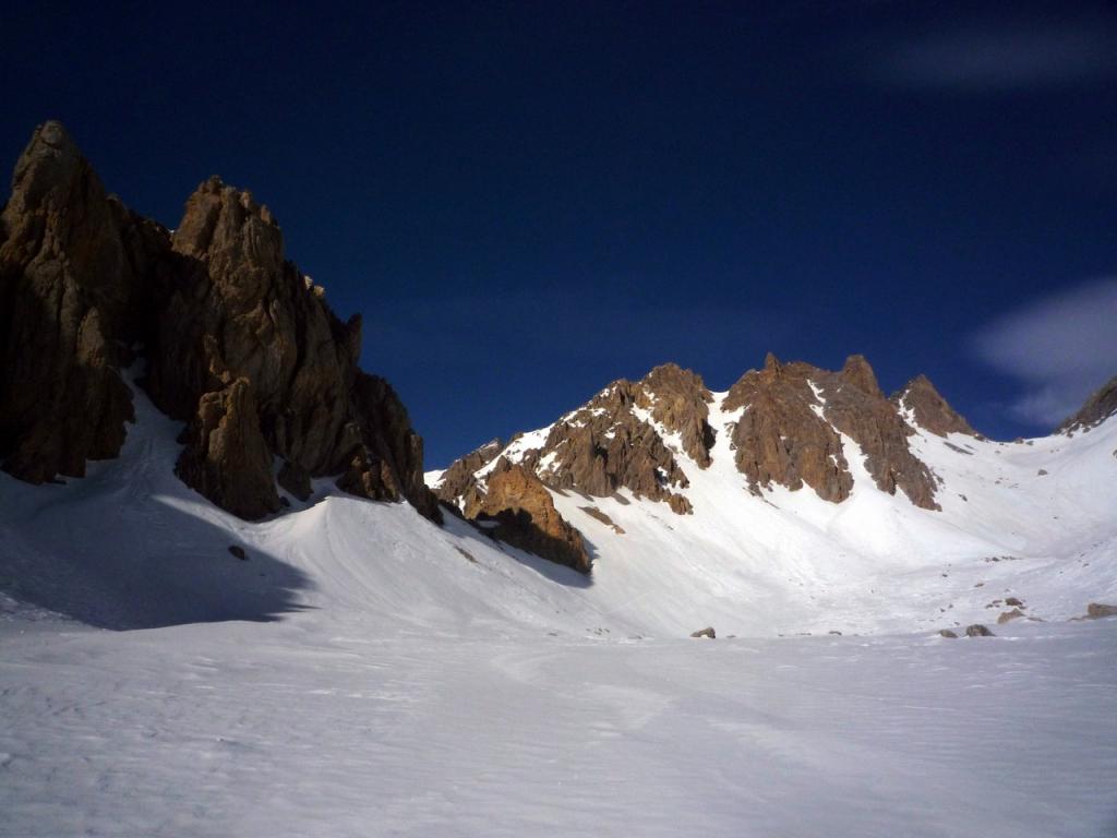
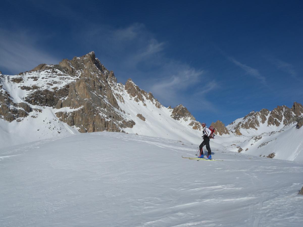
Dall’abitato di Larche iniziare a salire direzione nord per ampi prati dirigendosi verso il col de Mallemort. Giunti a quota 2300 si entra nel valloncello che per ripidi pendii porta al colle Mallemort mt. 2558. Dal colle con un traverso su ripido pendio verso dx (che va valutato in base alle condizioni della neve) portarsi sul fondo del vallone “Mandia du Vall” per poi risalire l’accentuato pendio finale che adduce alla cima sovrastata dalla costruzione “Batterie de Viraysse”. Discesa per l’itinerario di salita.
- Cartografia:
- 3538 IGN
- Bibliografia:
- Ed. blu Campana parte itinerario 109
Nelle vicinanze Mappa
Itinerari
28/02/2025 Alpes-de-Haute-Provence, Val-d'Oronaye D+ 1150 m OS Varie
David (Pas de) da Larche, giro per il Collet du Serpent
 0m
0m
09/03/2014 Alpes-de-Haute-Provence, Val-d'Oronaye D+ 907 m BS Nord
Lombard (Chateau) da Larche per il Vallon de Courrouit
 50m
50m
05/04/2026 Alpes-de-Haute-Provence, Val-d'Oronaye D+ 1115 m BSA Nord-Est
Chamois (Pic du) da Larche per il Vallon de Courrouit
 50m
50m
15/02/2025 Alpes-de-Haute-Provence, Val-d'Oronaye D+ 1124 m MS Nord-Est
Plate Longe (Tete de) da Larche
 50m
50m
18/04/2026 Alpes-de-Haute-Provence, Val-d'Oronaye D+ 1208 m BS Nord
Fer (Tete de) da Larche
 50m
50m
11/04/2026 Alpes-de-Haute-Provence, Val-d'Oronaye D+ 1491 m BS Varie
Sautron (Monte) da Larche
 50m
50m
27/12/2016 Alpes-de-Haute-Provence, Val-d'Oronaye D+ 1650 m BS Tutte
Sautron (Monte) da Larche, traversata a le Pontet
 50m
50m
13/12/2025 Alpes-de-Haute-Provence, Val-d'Oronaye D+ 1250 m BSA, F+ Nord-Est
Fer (Tete de) e Crete des Bals da Larche per il Vallon de Parassac, la combe de Tourtelle ed il Lac Froid
 50m
50m
15/02/2025 Alpes-de-Haute-Provence, Val-d'Oronaye D+ 1145 m BS Varie
Aigle (Bec de l’) da Larche per il versante est dal Vallon Bernard
 50m
50m
12/01/2020 Alpes-de-Haute-Provence, Val-d'Oronaye D+ 1200 m BS Varie
Portiolette e Mallemort (Colli) da Larche, giro della Meyna
 50m
50m