3Km
3Km
Note
 0m
0m
0m
2.8Km
2.8Km
3.5Km
0m
0m
0m
2.8Km
2.8Km
3.5Km
dislivello su traccia Garmin 26314 m con 389 km
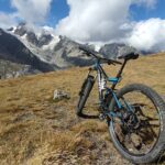
Avvicinamento
Partenza come per la gara di trail in centro a Courmayeur
Descrizione
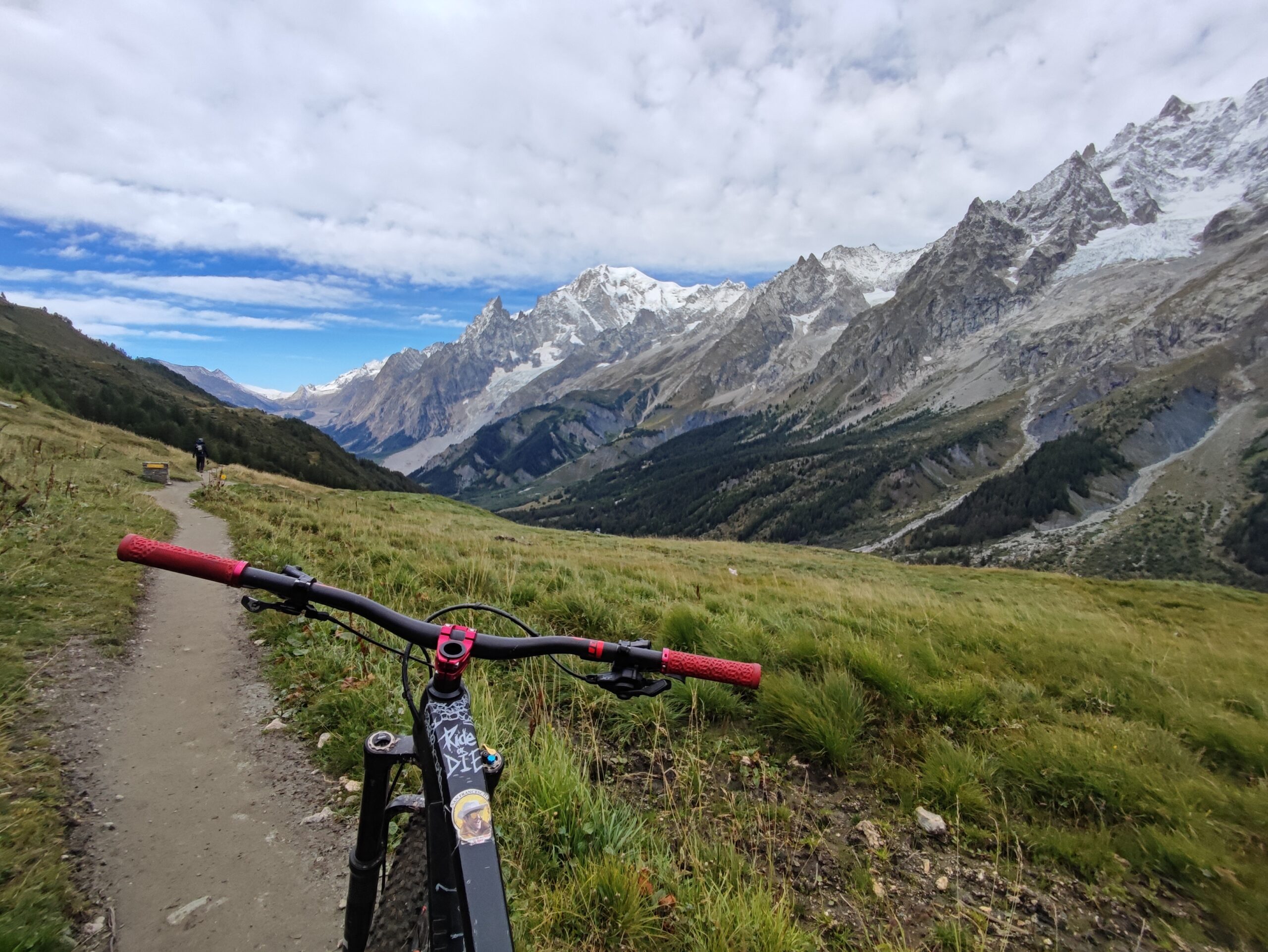
Prima tappa da Courmayeur al rifugio Chalet de l’Epee
per un totale di 80 km e 4600 d+ circa pedal 1100 portage 3500 Completata in 17h30
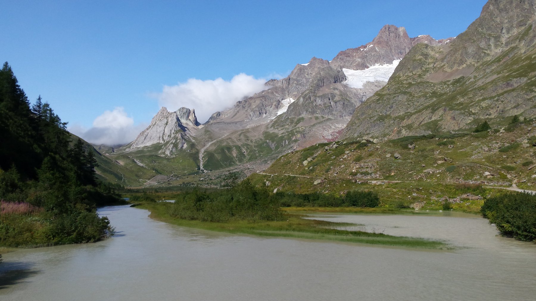
Partenza dal centro di Courmayeur, primo pezzo su asfalto poi dopo una piccola sezione di bici a spinta, si arriva ad una poderale a tratti dura ma pedalabile che porta agevolmente al Col d’Arp da qui discesa semplice ci adagia a La Thuile in comodità.
Da qui si pedala agevolmente fino alle cascate del Rutor seguite da portage/spintage per guadagnare il rifugio Deffeyes.
Per arrivare a Valgrisanche il percorso è molto poco agevole e attraversa pietraie. Deportage anche per la discesa in zona bivacco Zappelli. Tratti attrezzati. La parte finale di discesa diventa tecnica ma ciclabile e ci ritroviamo in Valgrisa.
Salita al rifugio Epee inizialmente pedalabile e tranquilla poi traverso in facile portage.
Seconda tappa dal rifugio Epee al rifugio Dondena
km 60 e 4600 d+ circa pedal 900 portage 3700 completata in 27h30
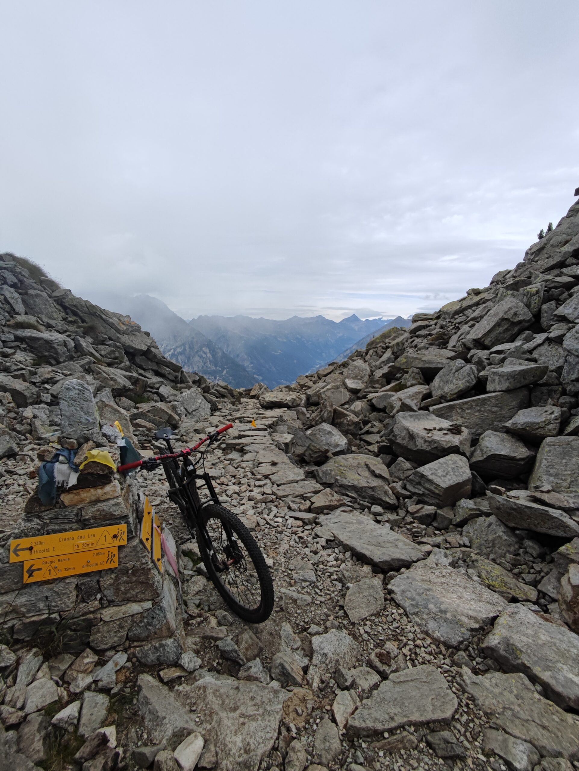
Salita al Colle Finestra in portage totale. Prima parte di discesa molto ripida e con terreno non sempre grippante ma qualcosa si fa, poi migliora e ci si diverte. Da Rhemes Notre Dame nuovamente portage integrale fino al colle di Entrelor. Qui discesa in comune con la classica Punta Percià. Gas aperto e in pochissimo tempo si viene catapultati a Maisonnasse pronti per ricomincia con portage integrale e asburgico fino al Col Loson. Difficile solo nell’ultima parte causa terreno molto friabile. Discesa con primi metri di corde fisse che si possono provare ma consiglierei almeno terreno asciutto. Poi il sentiero diventa un bellissimo flow da gas aperto, con qualche piccola interruzione causa frane, fino al rifugio Vittorio Sella. Da qui rotto e tecnico ,con violenza gratuita per copertoni e cerchi ,fino al ponticello comunque tutto ciclabile. La parte dopo il ponte, fino a dentro al bosco ,diventa molto difficile causa rocce e gradoni quindi ciclabile solo a tratti se si vuole tenere in bocca tutti i trentadue denti. Il sentiero
nella parte finale prima di Cogne torna ad essere scorrevole e facile.
Salita fino al rifugio Sogno che è in comune con la classica salita all’Invergneux, con tutto pedal. Dal rifugio si torna a fare sano portage fino a finestra di Champorcher. Discesa fino al rifugio Miserin tecnica e non banale poi poderale fino al Dondena.
Terza tappa dal Dondena al Barma
km 60 e 3000 d+ circa pedal 1700 portage 1300
completata in 21h
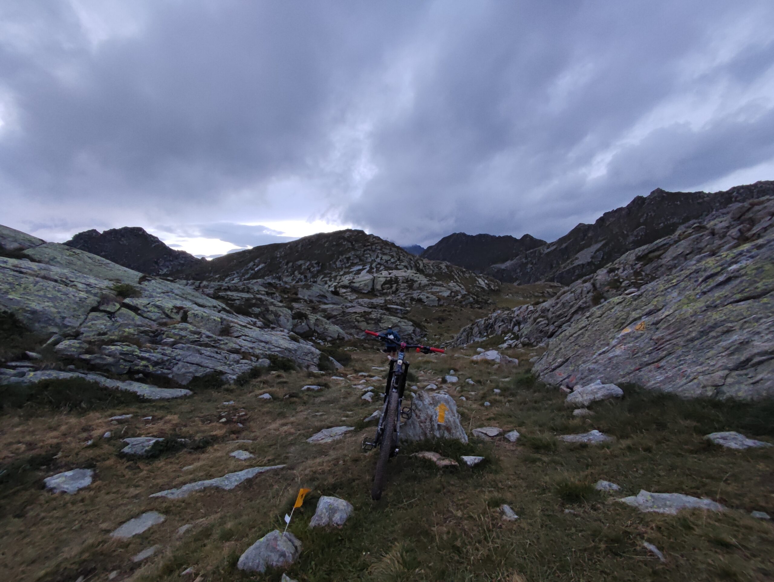
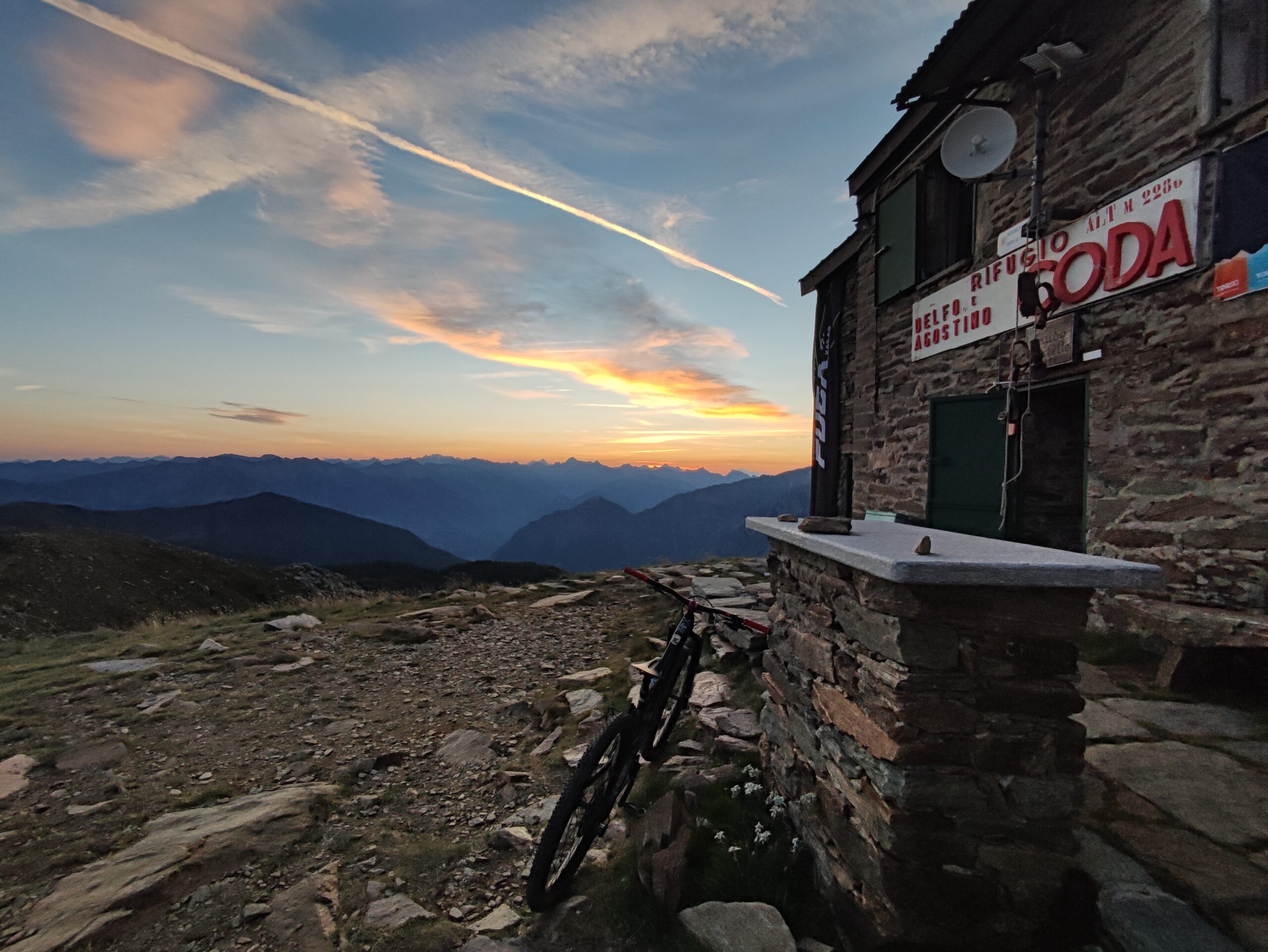
Dal Dondena si va a prendere la discesa su Champorcher denominata scaletta. Single track di rocce tecnica e bellissima, tutta ciclabile di difficoltà costante medio/alta, divertimento assicurato. Da Champorcher si alternano pezzi di poderale con alcuni tratti molto scomodi e praticamente a ciclabilità zero causa pietre infami fino a Pontboset circa. Un po’ di portage nelle risalite e nell’ultima parte prima di Bard si torna ad una discesa facile e godibile. La salita fino al rifugio Coda alterna una prima parte di asfalto e una di portage con pietraia e sentiero. Dal Coda al Barma è una delle parti più difficili e provanti per la bici perchè la ciclabilità, anche nelle discese risulta quasi pari a zero. Agonia assicurata e vi chiederete sicuramente chi ve l’ha fatto fare. Non bisogna demordere. Qui il portage è difficile in mezzo a pietre e vegetazione sporgente che vi farebbe sognare un lanciafiamme per farvi largo in mezzo ai rami.
Quarta tappa dal Barma al rifugio Alpenzu
km 33 e 2500 d+ circa pedal 300 portage 2200
Continua la sezione psicologicamente più provante. Con disagio e disperazione si arriva al colle della Vecchia e voi spererete di scendere dal classico sentiero a tornantini e invece no. Si punta verso Niel e dopo una prima parte diversamente divertente si ritorna a fare pezzi di deportage. Salita, neanche a dirlo, in portage fino al colle Lazoney. Dal colle finalmente si torna in sella e si riesce a scendere godendosi la discesa e tornando a non odiare completamente questo sport. Sentiero tecnico poi scorrevole fino a Gressoney
Quinta tappa da Alpenzu al rifugio Magià
km 55 km e 4000 d+ pedal 800 portage 3200 Completata in 22h
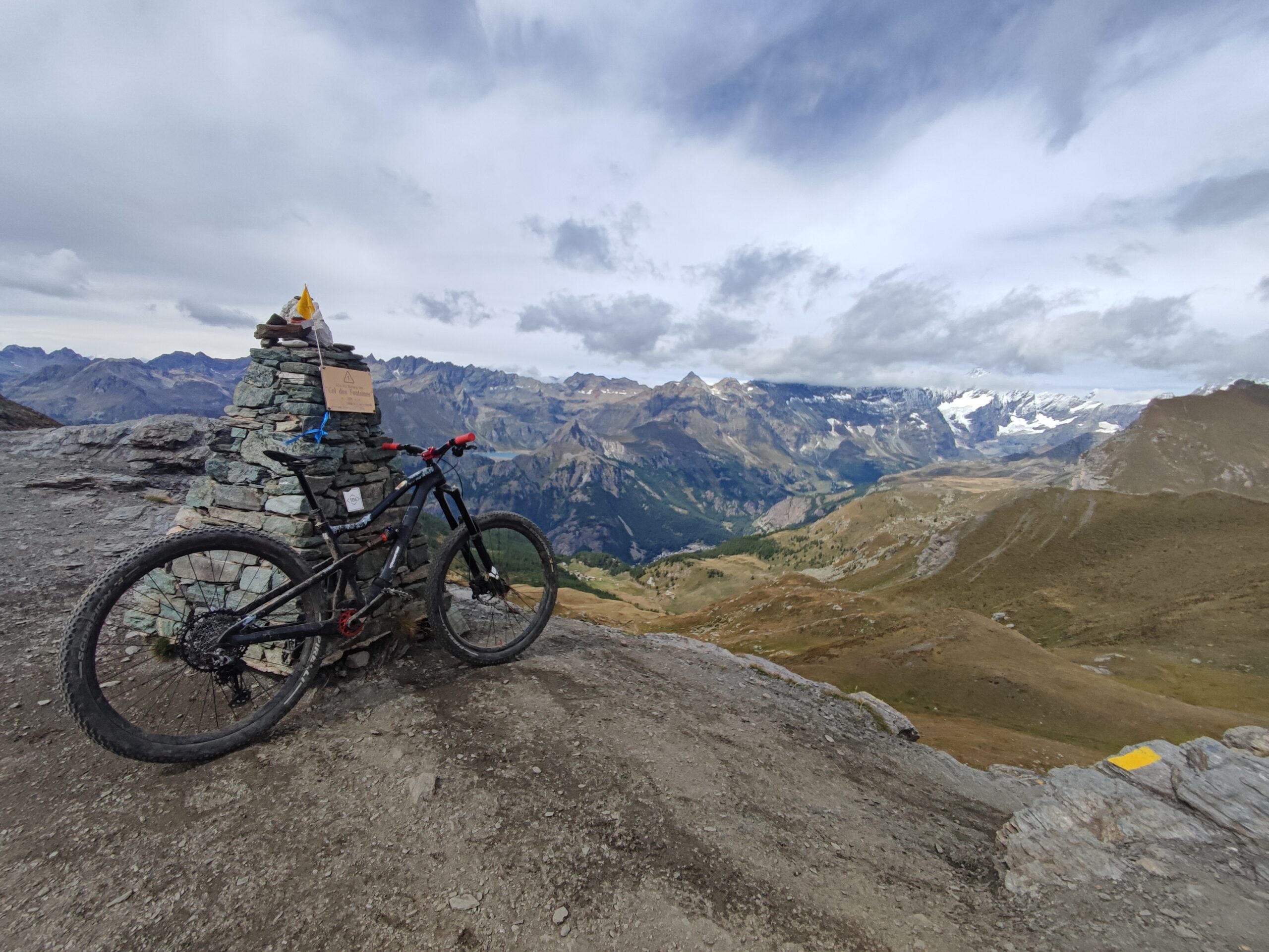
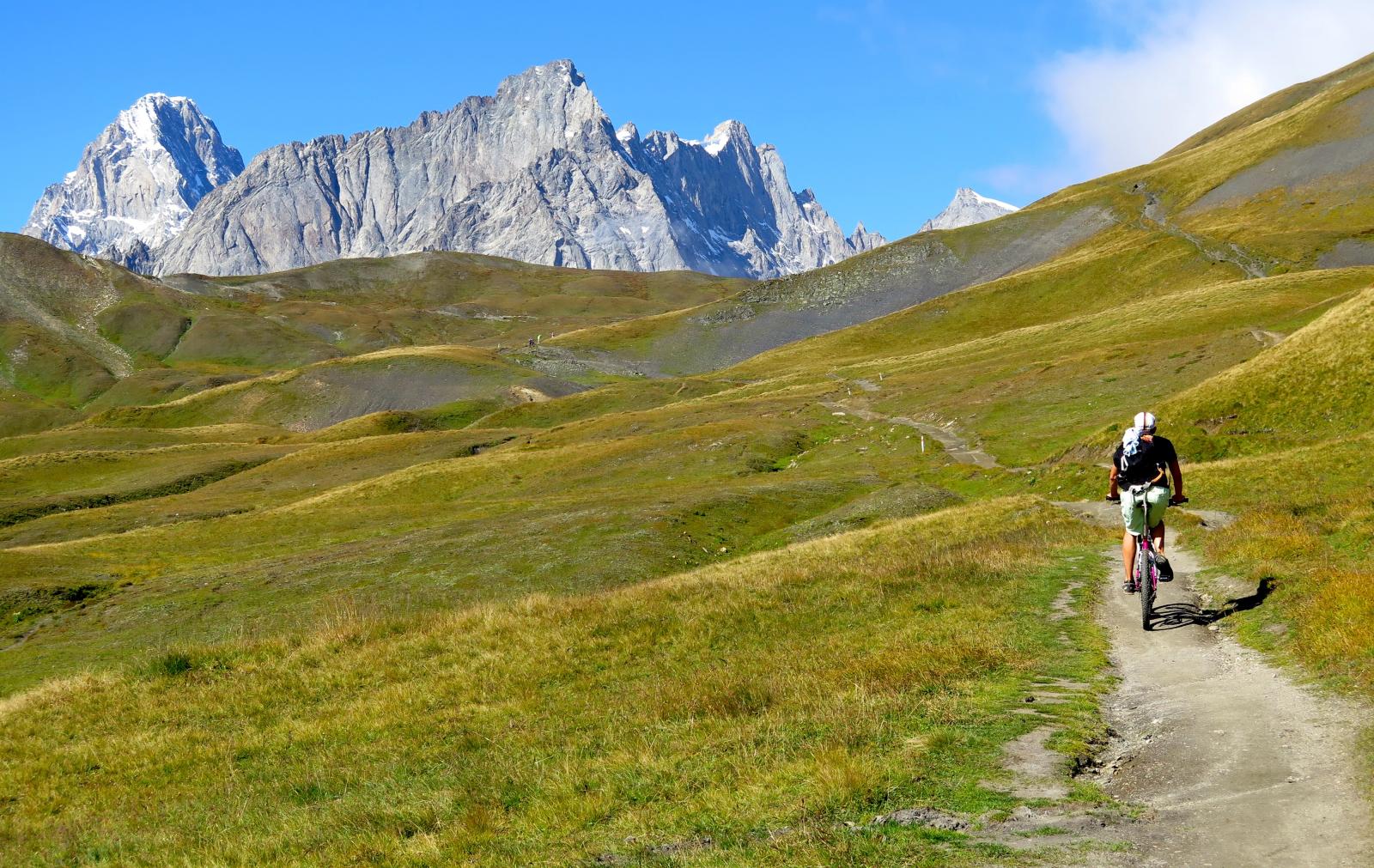
Portage intergale per passare dal rifugio Alpenzu e via su fino al Col Pinter. Qui chi ha fatto il Testa Grigia (consigliato) sa che la discesa è da lacrime ad esclusione del pezzo (corto) con corde fisse. Il resto è un tripudio di pietre e divertimento. Braccia tritate ma felicità a fondo scala! Finalmente si pedala un po’ in salita e da Champoluc al rifugio Tournalin si usa la bici anche per salire ma non vi abituate troppo! Breve portage fino al Col di Nannaz poi si scollina al Col de Fontaines e da qui una delle più belle discese della valle ci fionda giù fino a Valtournenche. Fatta senza pause è dura ma soddisfazione che zampilla da ogni poro. Tecnica ma godibile dall’inizio alla fine. Fatela! Ora si torna a caricarsi la bici sulle spalle per salire al rifugio Barmasse, piccolo pezzo di poderale poi nuovamente portage per scollinare la Fenetre d’Ersaz e continuare verso la Fenetre du Tsan. Da qui si scende fino al rifugio Magià. Non so classificare bene la ciclabilità in quanto mi sono trovato su questo segmento di notte con vento forte e nevicata in corso. Non le condizioni migliori per portare a casa la pelle scendendo in sella.
Sesta tappa dal Magià al rifugio Champillon
km 45 km e 3500 d+ pedal 500 portage 3000 completata in 21h
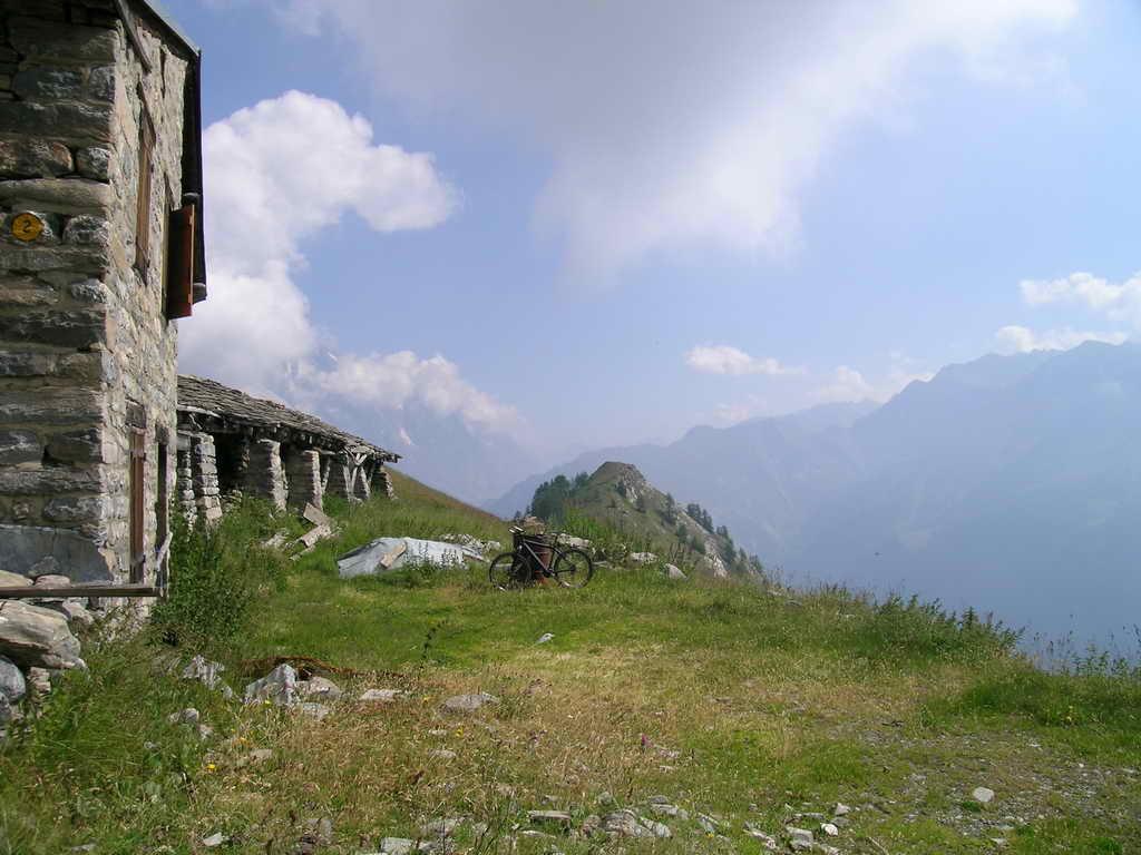
Anche qui portage praticamente integrale fino a scollinare il rifugio Cuney, poi brevissima discesa tecnica, risalita al Col de Chaleby e via fino al Col di Vessonaz. Nuovamente un po’ di discesa divertente fino a Oyace, a tratti difficile. Da Oyace si risale al Brison, neanche a dirlo portage praticamente integrale e discesa su Ollomont tecnica e a tratti molto difficile. Qualche passaggio troppo hardcore da provare durante il TOR. Da Ollomont si può sfruttare un po’ la poderale con pendenze in alcuni casi da gambe bioniche però volendo si potrebbe pedalare fino al rifugio Champillon se si vuole evitare il portage del sentiero.
Settima tappa dal rifugio Champillon a Courmayeur
km 70 e 4100 d+ pedal 2000 portage 2100 completata in 15h
Dal rifugio si sale (portage) al colle omonimo. Discesa che non posso valutare fedelmente in quanto fatta con molta neve a terra.
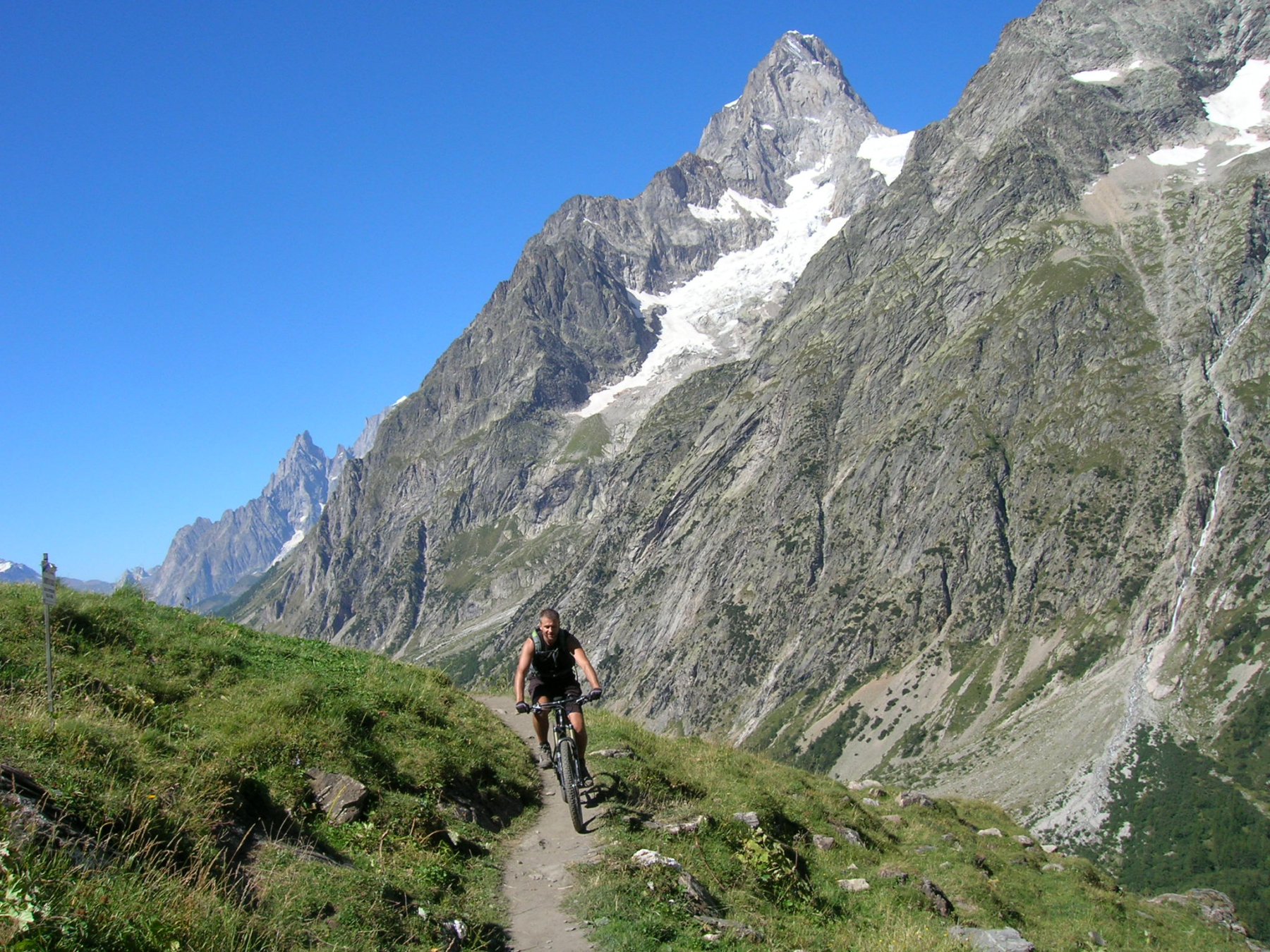
Invece confermo che la parte bassa è godibile e divertente. Fino a Saint-Rhemy si viaggia su saliscendi in poderale quindi tutto agevole. Si inzia finalmente la salita al Malatrà. Fino all’alpeggio sotto il rifugio Frassati si può sfruttare la strada e pedalare un po’.
Poi si torna alla dura realtà e la bici va di nuovo portata. Prima del colle c’è il famoso e famigerato tratto attrezzato ma in realtà, anche con la neve, io l’ho trovato molto agevole. La discesa verso Courmayer è bellissima! Io seguendo il percorso della gara
ho dovuto ancora scollinare il Col Entre Deux Sauts e fare la circumnavigazione di Testa Bernarda. Però così facendo si va a passare dal rifugio Bertone e si può godere di una discesa su Courmayeur ripida, fatta di pietre, radici e tornanti. Non c’è modo migliore per chiudere questo anello perfetto attorno alla Valle d’Aosta.
Nelle vicinanze Mappa
Itinerari
23/08/2004 AO, Courmayeur D+ 1600 m BC, BC, S1 Varie
Fortin (Mont) da Courmayeur, giro
0m
25/08/2016 AO, Courmayeur D+ 1940 m BC, BC+, S2 Varie
Entre Deux Sauts (Tète) da Courmayeur, giro
 0m
0m
15/07/2015 AO, Courmayeur D+ 1700 m BC, BC, S0 Tutte
Tour del Monte Bianco (CCW) Tappa 1: Courmayeur – Champex
 0m
0m
15/09/2019 AO, Courmayeur D+ 1040 m BC, BC, S2 Est
Seigne (Col de la) e Rifugio Elisabetta Soldini da Courmayeur per il lac Combal
 0m
0m
01/08/2009 AO, Pré-Saint-Didier D+ 1100 m MC, MC, S0 Est
Arp (Alpe) da Pre Saint Didier
 2.8Km
2.8Km
19/08/2023 AO, Pré-Saint-Didier D+ 2800 m BC, OC, S3 Tutte
Arp e Chavannes (Colli) da Pré Saint Didier, giro
 2.8Km
2.8Km
04/08/2018 AO, Pré-Saint-Didier D+ 2900 m MC, TC, S1 Tutte
Seigne (Col de la) da Pré Saint Didier, giro per Bourg Saint Maurice e Colle del Piccolo San Bernardo
 3.5Km
3.5Km
03/08/2018 AO, Pré-Saint-Didier D+ 3500 m OC, BC+, S3 Varie
Bard, Citrin, Malatrà (Colli) da Prè Saint Didier, giro della Valdigne
3.5Km
18/07/2025 AO, Pré-Saint-Didier D+ 1650 m BC, BC+, S1 Tutte
Chavannes (Col de) da Prè Saint Didier, discesa in Val Veny
3.5Km
19/08/2018 AO, Pré-Saint-Didier D+ 2000 m OC, OC, S3 Tutte
Liconi (Testa di) da Prè Saint Didier, giro
3.5Km