3.7Km
3.7Km
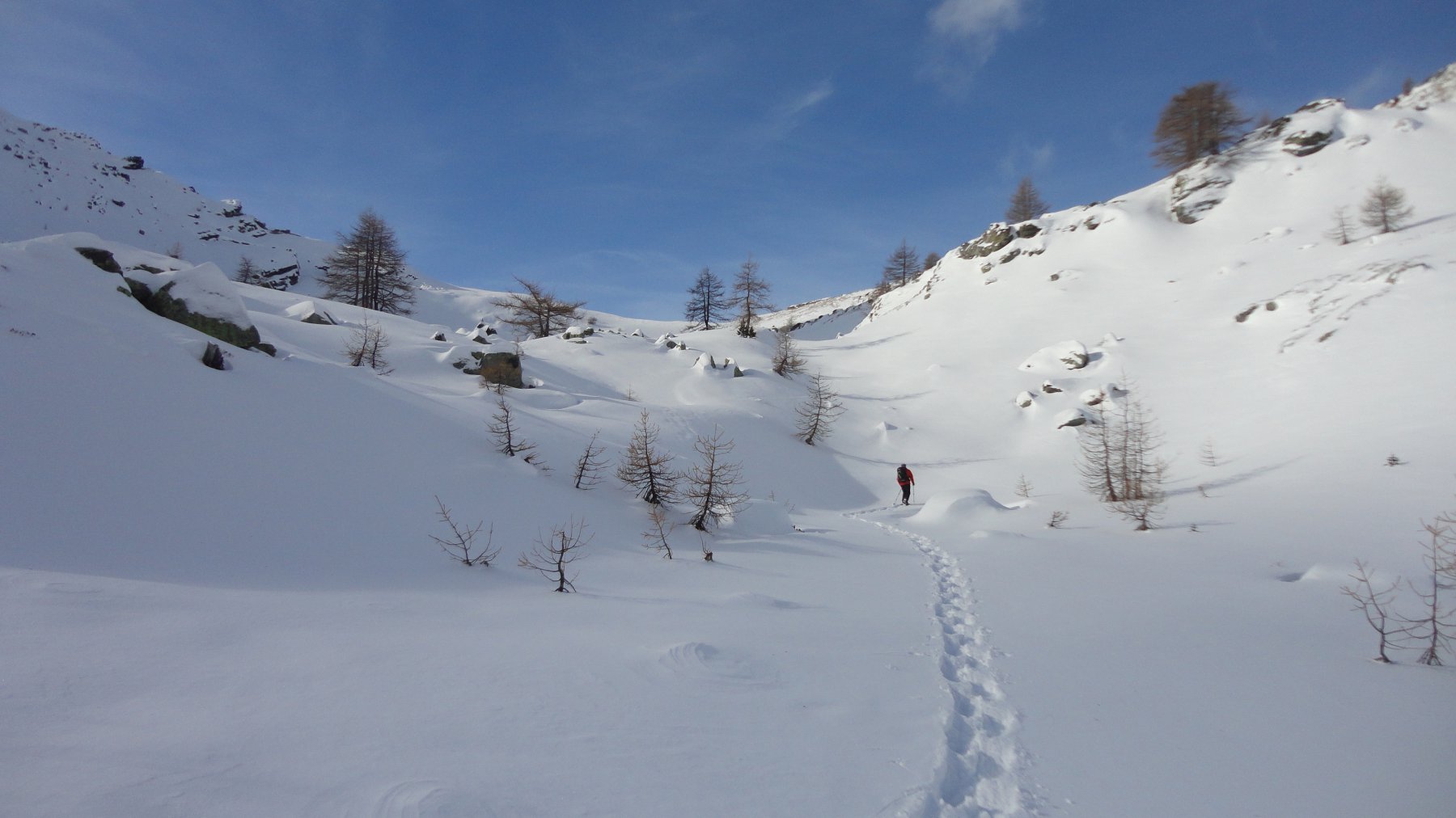
Avvicinamento
 50m
50m
50m
50m
3.4Km
3.7Km
3.9Km
5.3Km
7Km
9.8Km
50m
50m
50m
50m
3.4Km
3.7Km
3.9Km
5.3Km
7Km
9.8Km
.
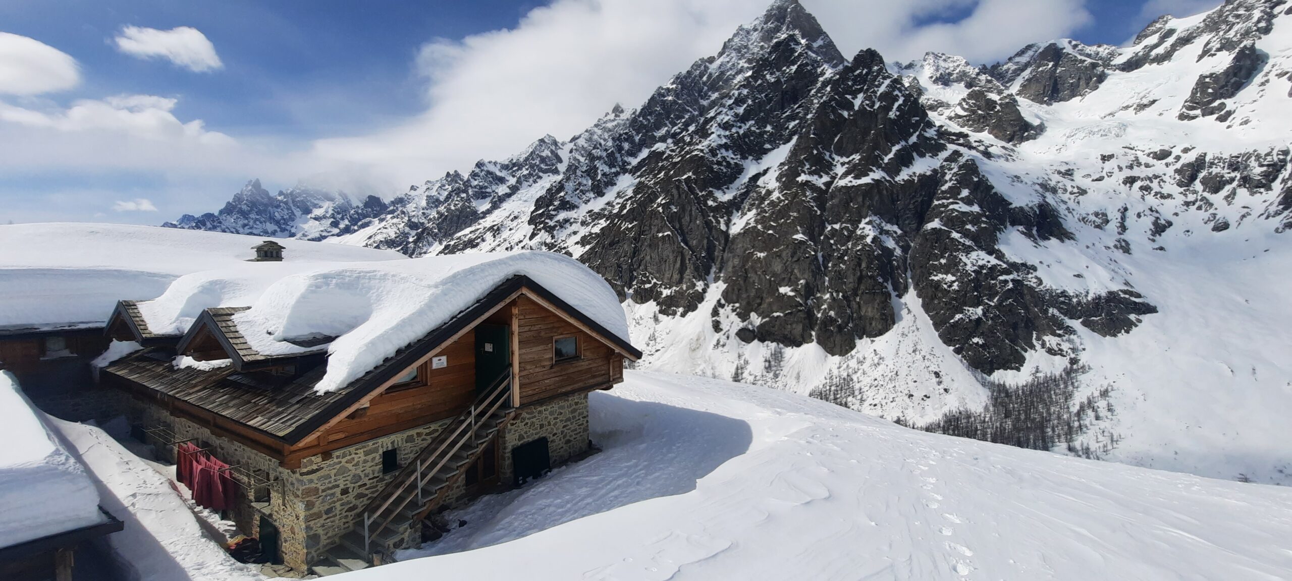
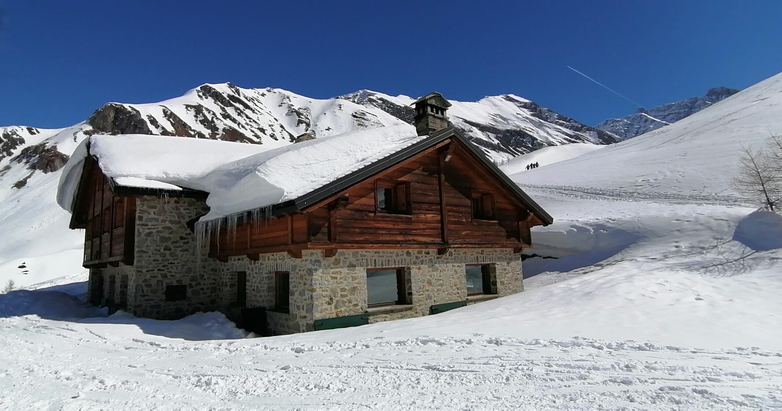
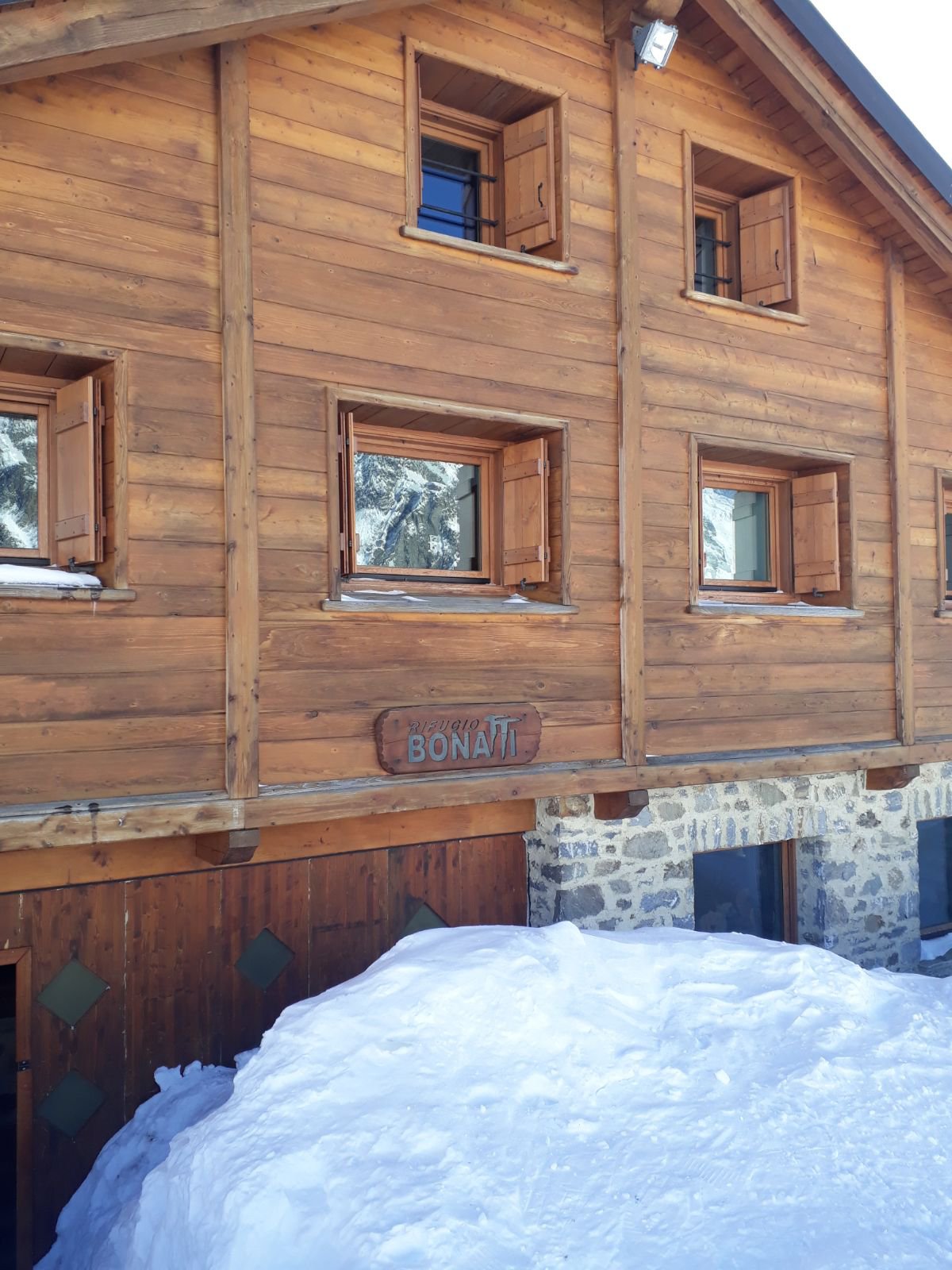
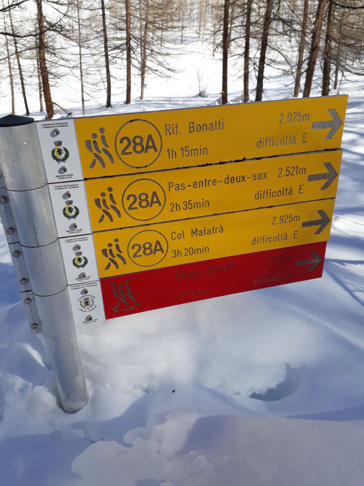
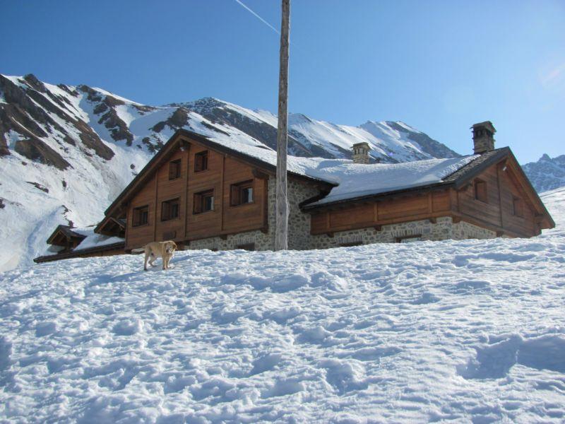
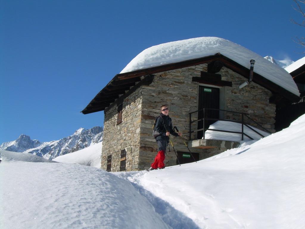
Descrizione
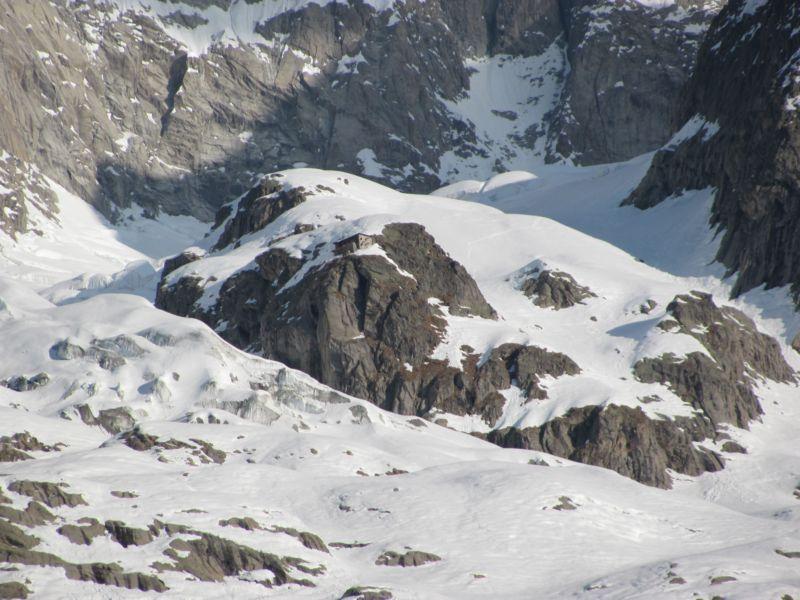
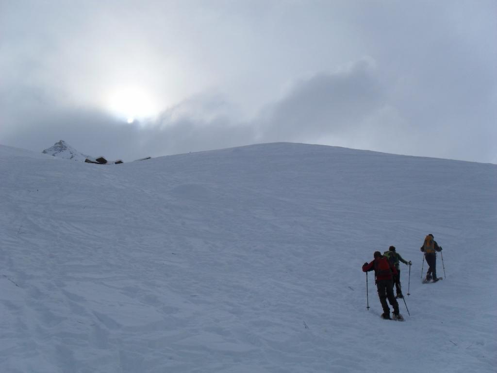
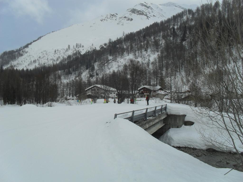
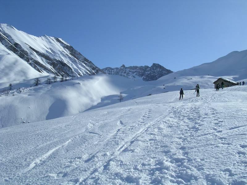
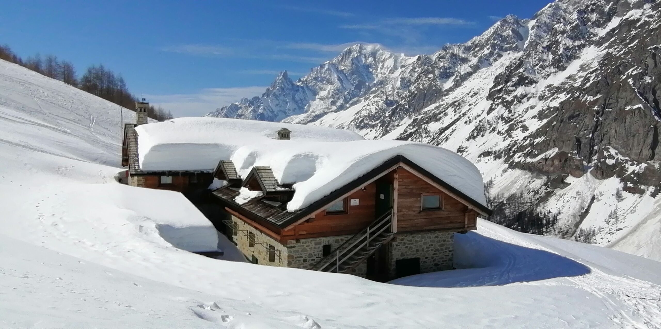
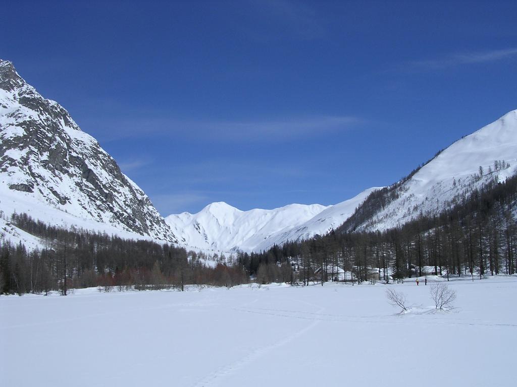
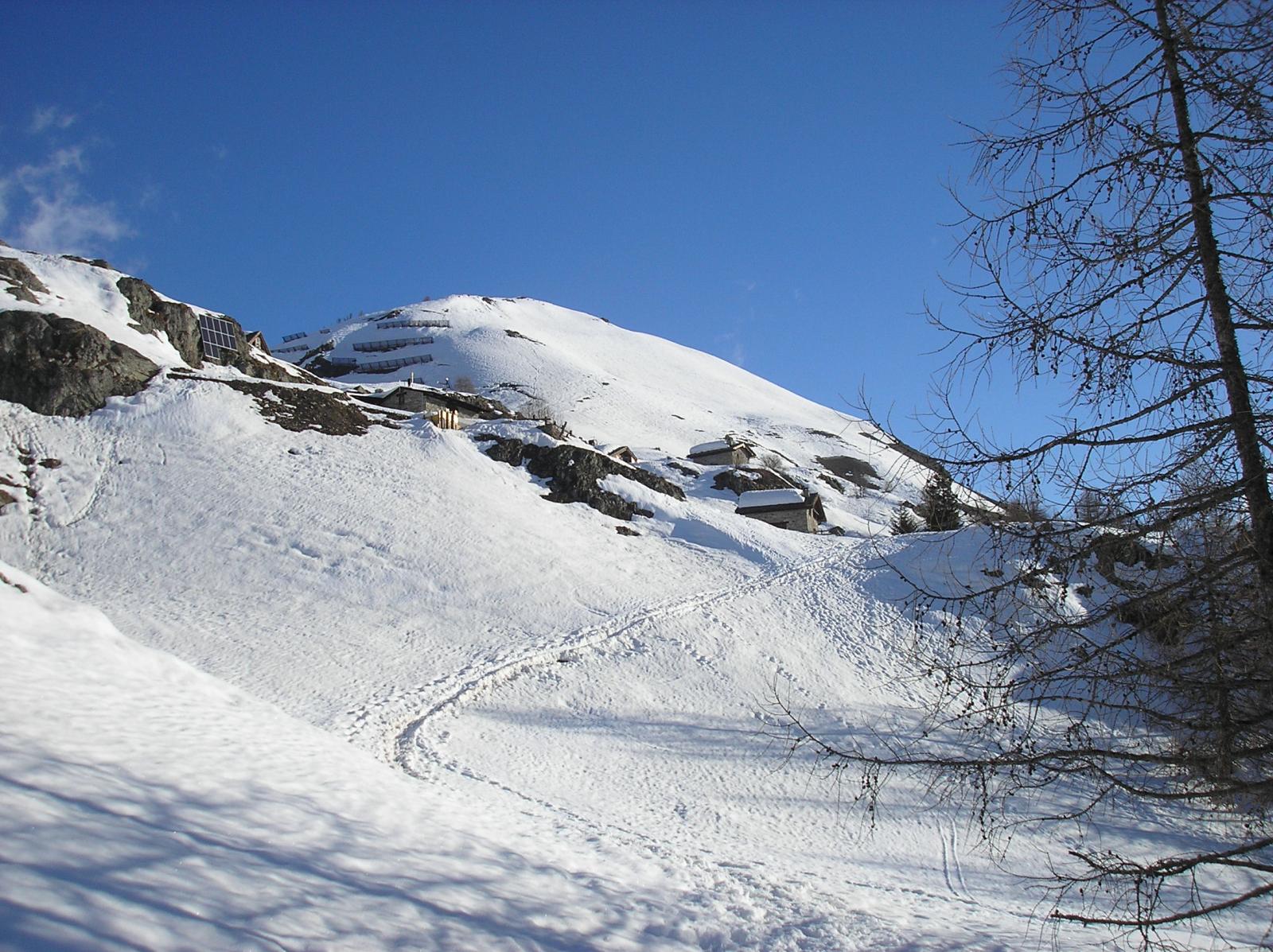
Si segue il fondo della Val Ferret, cercando il percorso migliore defilato rispetto alle piste da fondo.
Oltrepassato Lavachey dopo i due tornanti della strada estiva, prima di un ponticello si segue la strada sterrata estiva nel bosco (ripida la prima parte).
Dopo circa 200 m di dislivello quando la strada entra in diagonale più pianeggiante nel vallone dell’ Armina, prendere il sentiero a sinistra che, prima in pineta e poi per terreno aperto arriva al rifugio.
Nelle vicinanze Mappa
Itinerari
03/01/2012 AO, Courmayeur MR Nord-Est
Lavachey da Plampincieux
 50m
50m
08/12/2016 AO, Courmayeur D+ 1136 m BR Varie
Entre Deux Sauts (Tète) da Planpincieux
 50m
50m
09/12/2016 AO, Courmayeur D+ 1457 m OR, F+ Sud-Ovest
Tsichette (Mont) e Mont de Rots da Planpincieux
 50m
50m
27/12/2023 AO, Courmayeur D+ 398 m MR Varie
Bertone Giorgio (Rifugio) da Planpincieux
 50m
50m
17/03/2014 AO, Courmayeur D+ 1250 m BR Varie
Tronche (Testa de la) da Villair superiore per Monti de la Saxe
 3.4Km
3.4Km
24/02/2026 AO, Courmayeur D+ 729 m MR Nord-Est
Bertone Giorgio (Rifugio) da La Saxe
 3.7Km
3.7Km
02/01/2012 AO, Courmayeur D+ 360 m MR Ovest
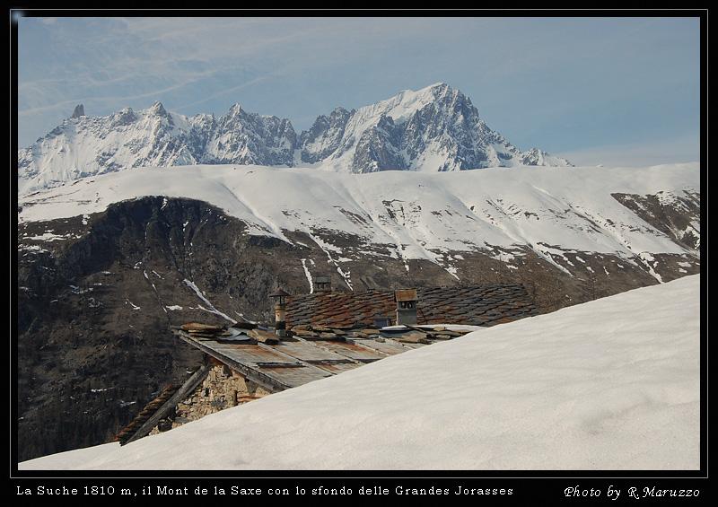
La Suche (Baite) da Ermitage
 3.9Km
3.9Km
30/04/2017 AO, Courmayeur D+ 732 m MR Tutte
Checrouit (Colle) da Dolonne, anello
 5.3Km
5.3Km
10/02/2019 AO, Pré-Saint-Didier D+ 1108 m MR Est
Arp de Sorè o Arp Damon (Alpeggio) da Champex
 7Km
7Km
20/11/2016 AO, La Thuile D+ 508 m MR Sud-Est
Croce (Colle della) dal Colle San Carlo per il Lago d’Arpy
 9.8Km
9.8Km