2.2Km
2.2Km
Note
 50m
2.4Km
2.4Km
2.4Km
2.4Km
2.4Km
2.4Km
2.5Km
2.9Km
2.9Km
50m
2.4Km
2.4Km
2.4Km
2.4Km
2.4Km
2.4Km
2.5Km
2.9Km
2.9Km
2.2Km
2.4Km
2.4Km
2.6Km
3.2Km
3.7Km
5.3Km
5.5Km
5.7Km
5.7Km
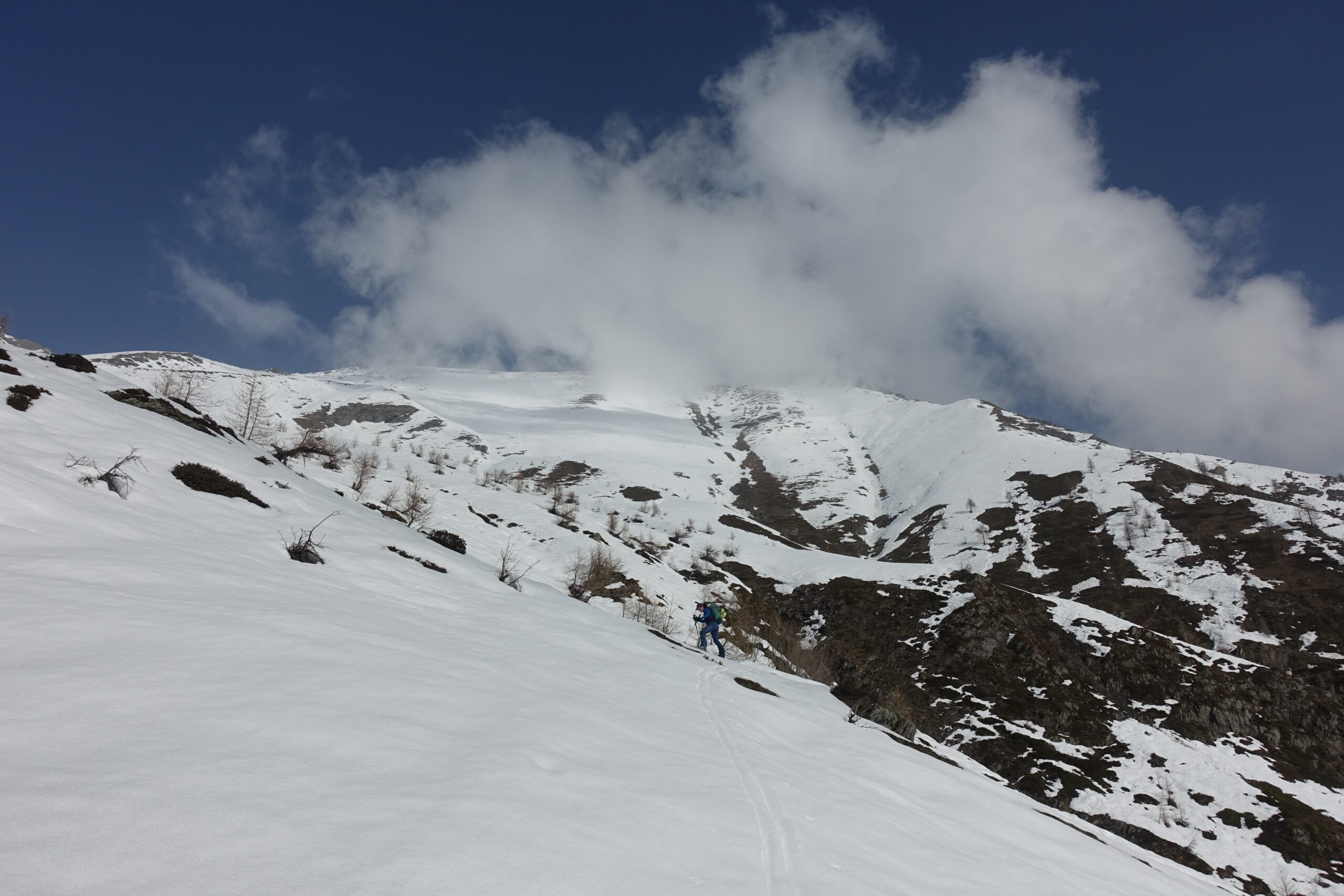
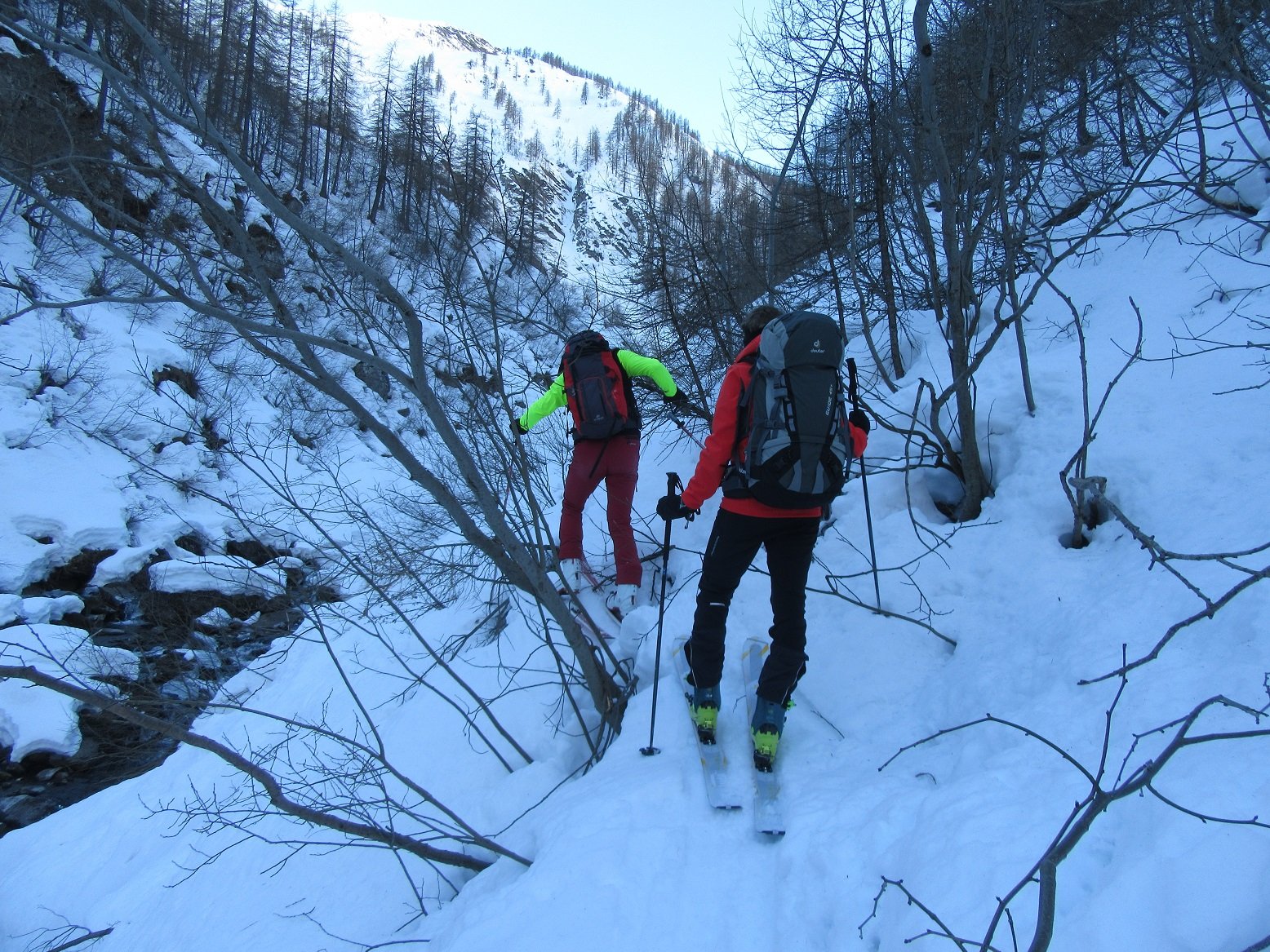
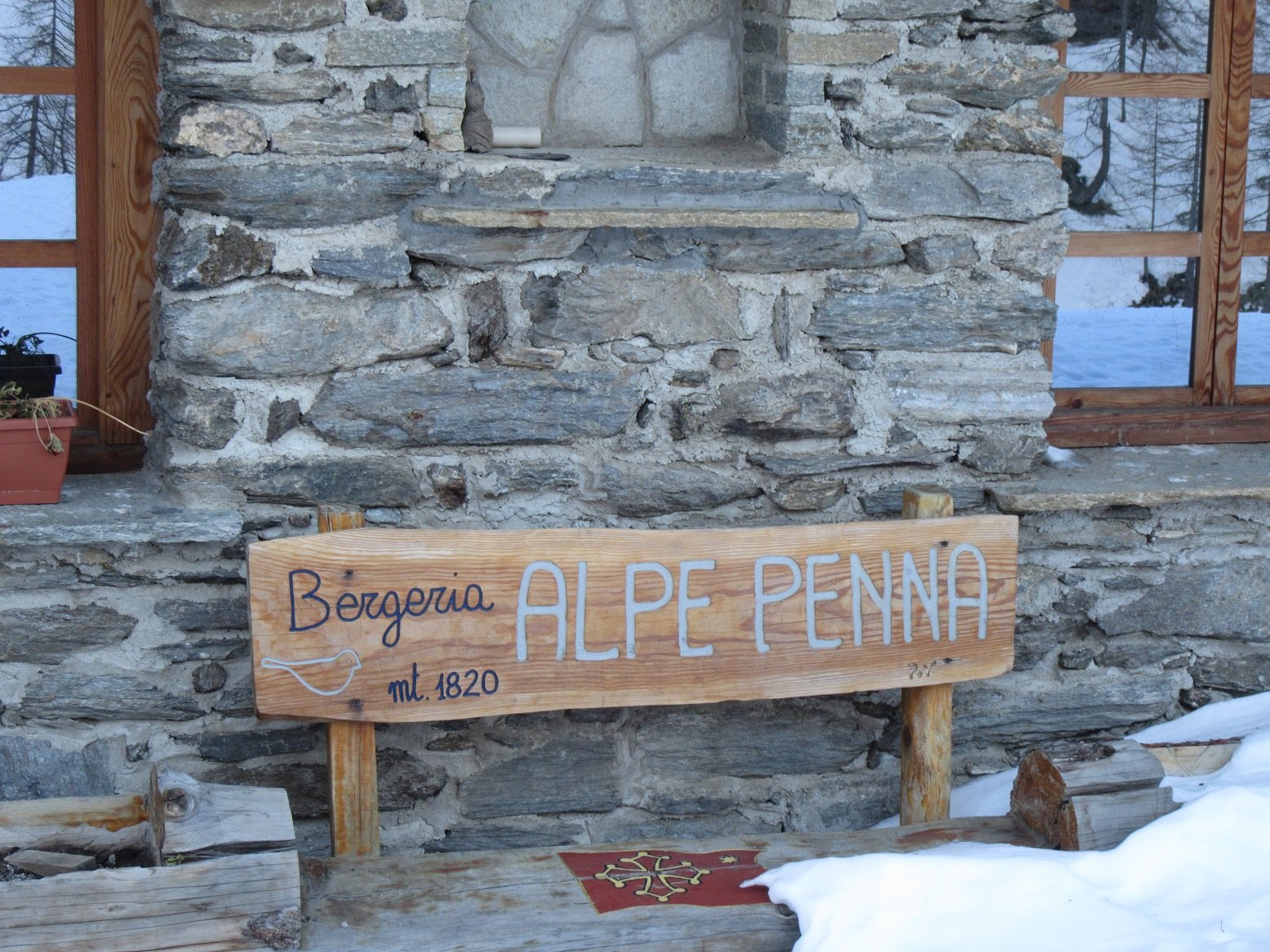
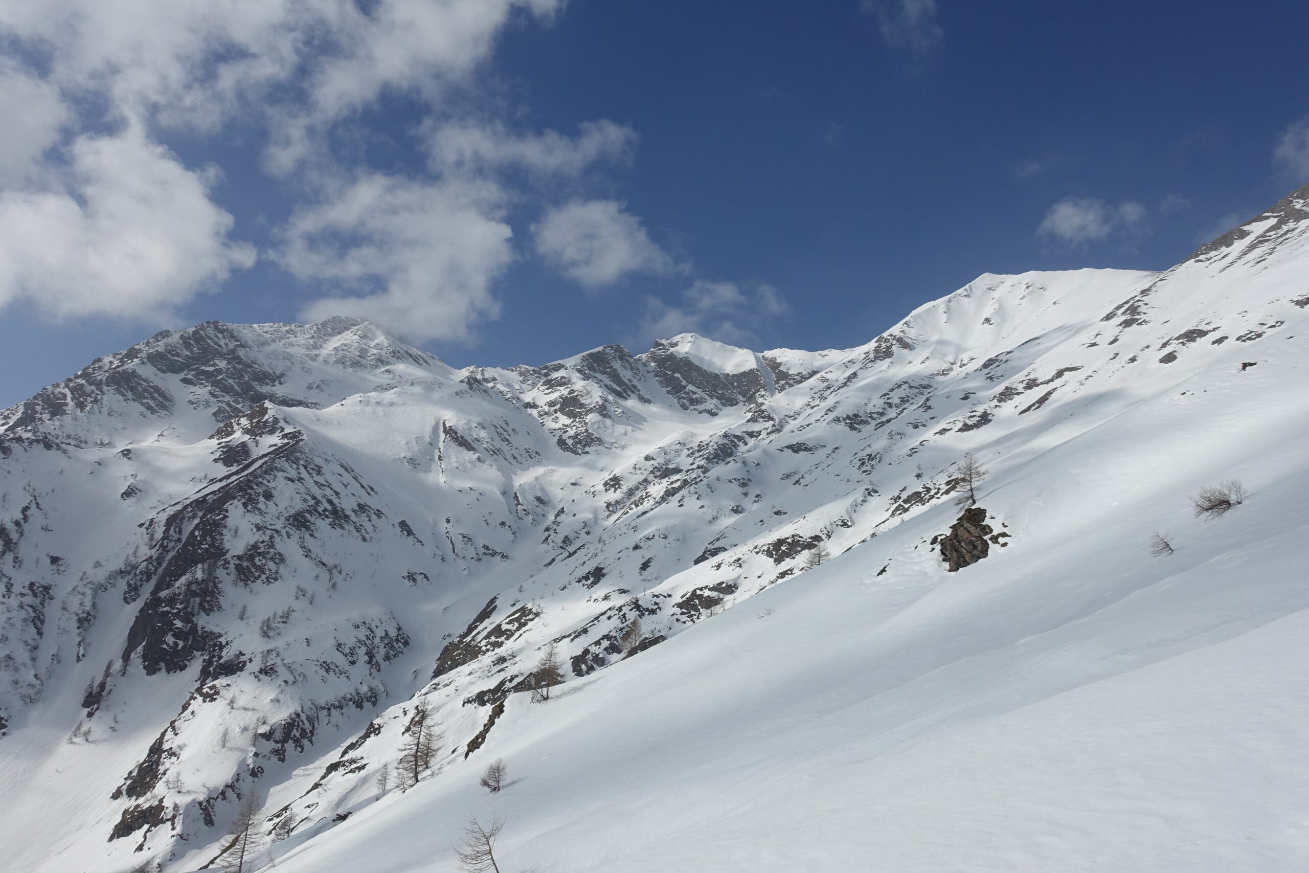
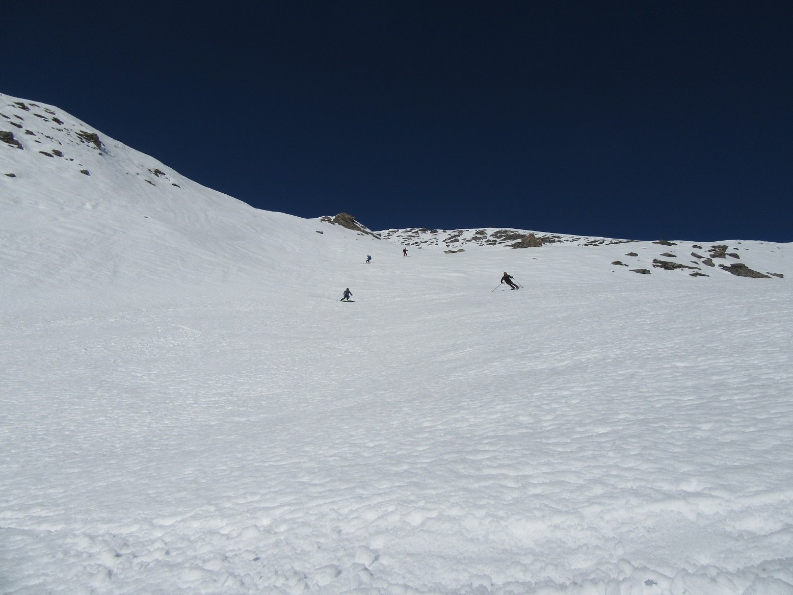
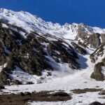
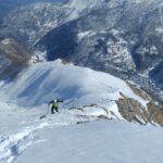
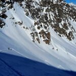
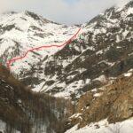
Gita da fare assolutamente con neve sicura perche' scarica dappertutto e cmq prevede un primo tratto su strada, poi sentiero, e poi si va come si puo' in base all'innevamento o a destra o a sinistra del torrente ( ravanage assicurato ) fino alla bergeria Alpe Penna 1820m. Da li si aprono dei pendii favolosi fino alla vetta.
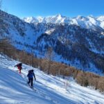
Avvicinamento
Da Perosa Argentina risalire la val Germanasca , quindi girare a destra per Salza di Pinerolo. oltrepassare la borgata Didiero e raggiungere la borgata Coppi ( comodo parcheggio )
Descrizione
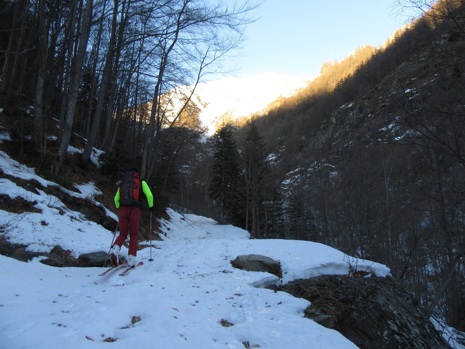
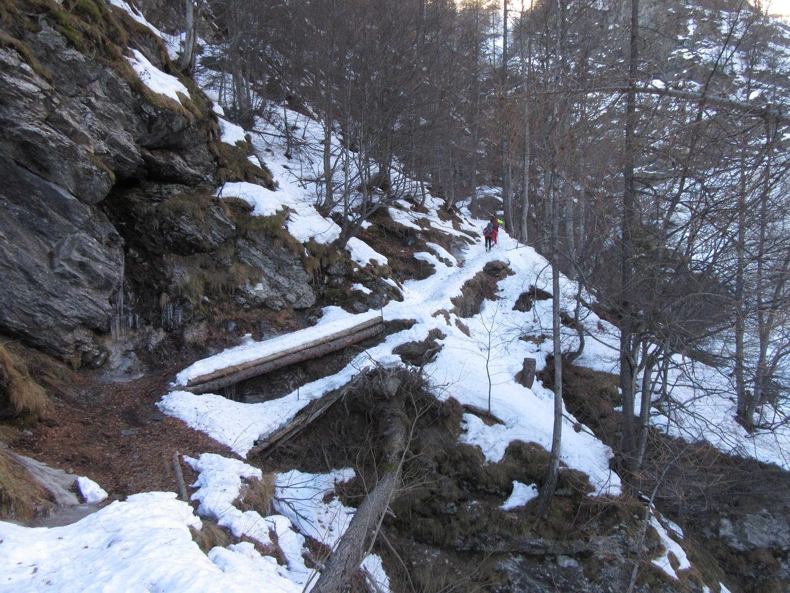
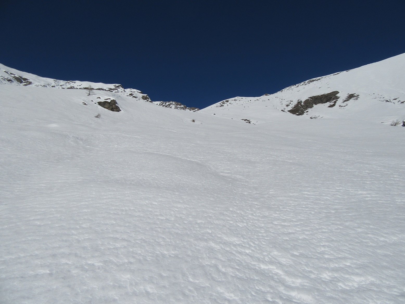
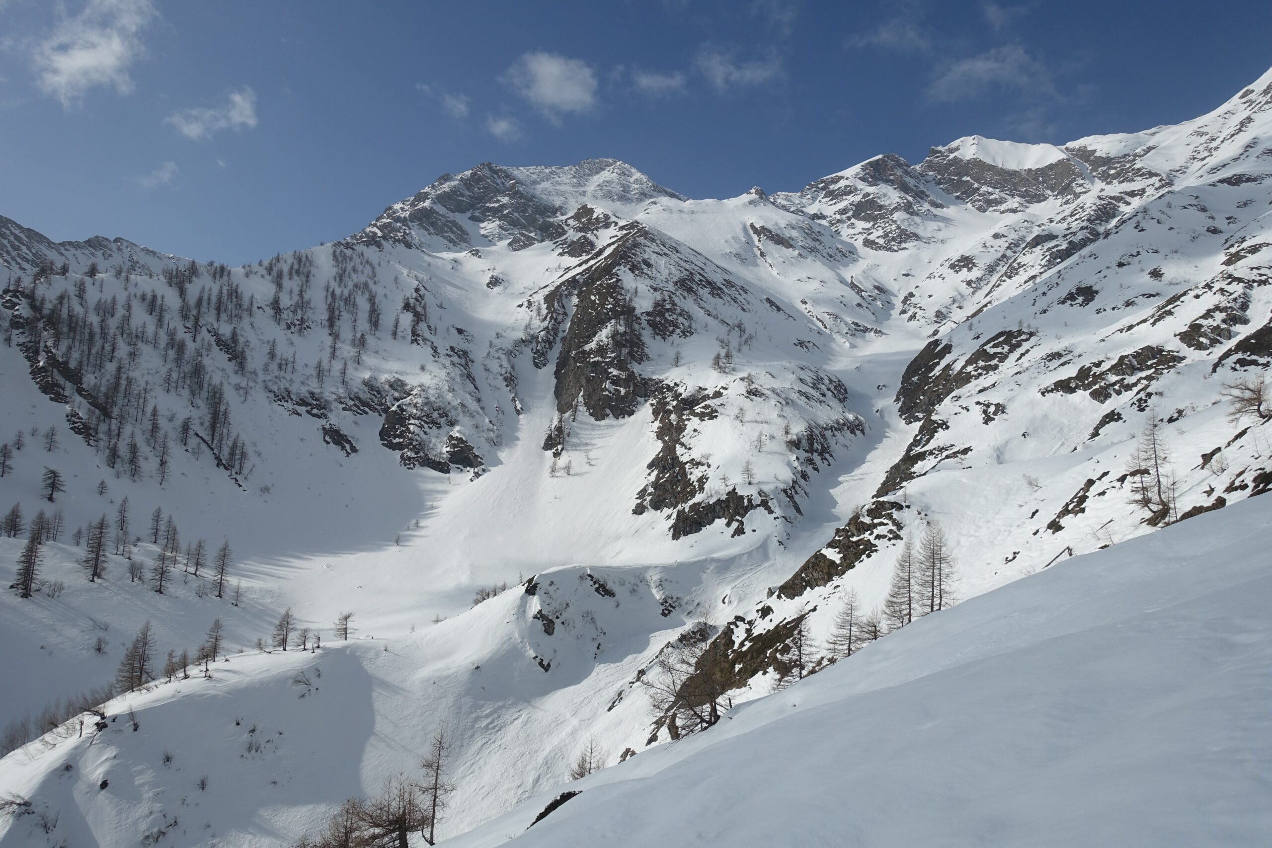
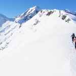
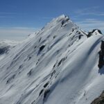
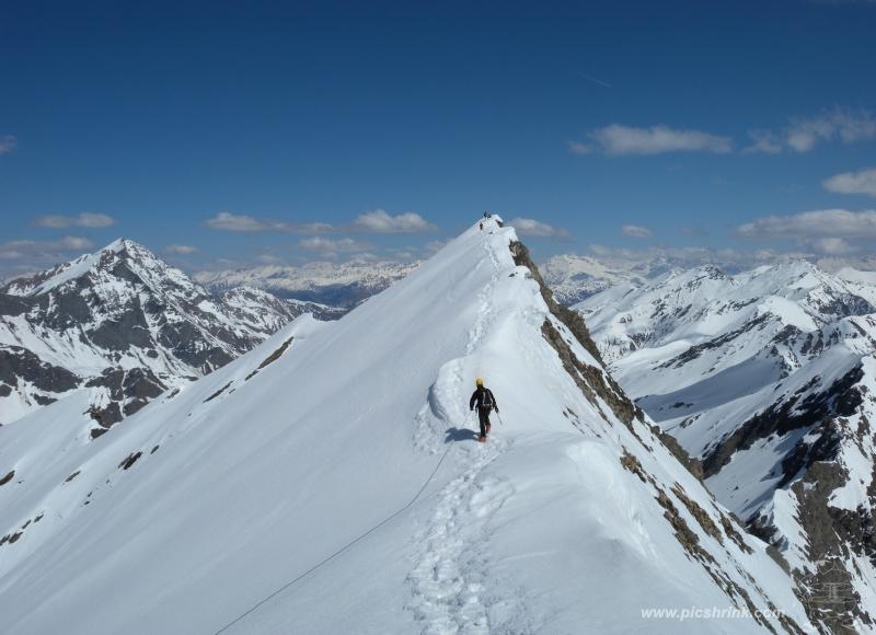
Dalla borgata coppi si imbocca la strada forestale che costeggia il torrente , a un certo punto diventa sentiero e si inerpica nel bosco con ripidi tornanti ( procedere come si puo’ ) poi al bivio di Salza e Vialetti prendere a destra e procedere in direzione della Bergeria Alpe Penna , subito dopo il vallone si apre e si sale a destra su ampi pendii per 900 metri in pieno sud, poi su facile crestina si raggiunge la vetta del monte Fournet.
Nelle vicinanze Mappa
Itinerari
17/02/2026 TO, Salza di Pinerolo D+ 1050 m BS Nord-Ovest
Mouton (Clot di) dal Vallone di Salza
 50m
50m
25/05/2025 TO, Prali D+ 1460 m BS Nord
Acuta (Punta) da Rodoretto
 2.4Km
2.4Km
17/05/2026 TO, Prali D+ 1570 m OSA Nord
Vergia (Punta) da Rodoretto
 2.4Km
2.4Km
17/05/2026 TO, Prali D+ 1596 m OSA, PD Nord-Est
Barifreddo (Monte) da Rodoretto
 2.4Km
2.4Km
31/01/2026 TO, Prali D+ 1155 m BSA Nord
Selletta (Monte) da Rodoretto
 2.4Km
2.4Km
13/04/2023 TO, Prali D+ 1355 m BS Nord-Est
Rodoretto (Colle di) da Rodoretto
 2.4Km
2.4Km
07/03/2026 TO, Prali D+ 1519 m BS Varie
Lungin (Monte) da Rodoretto
 2.4Km
2.4Km
22/02/2026 TO, Massello D+ 1000 m BS Sud-Ovest
Raccias (Punta) da Aiasse
 2.5Km
2.5Km
01/02/2026 TO, Prali D+ 866 m MS Nord
Gavalupo (Bric) da Crosetto
 2.9Km
2.9Km
04/03/2023 TO, Prali D+ 1200 m BS Nord
Bianca (Rocca) dal Vallone di Crosetto
 2.9Km
2.9Km
Servizi
2.2Km
2.4Km
La foresteria di Massello Rifugio
Massello
2.4Km
Da Mafalda Ristorante
Prali
2.6Km
Da Piero Ristorante
Salza di Pinerolo
3.2Km
GTA Balziglia Rifugio
Massello
3.7Km
Charlie Bar Ristorante
Prali
5.3Km
Serpillo B&B
Perrero
5.5Km
Nido dell’orso Ristorante
Prali
5.7Km
Agape Rifugio
Prali
5.7Km