150m
150m
Note
 1.2Km
1.9Km
1.9Km
2.1Km
2.7Km
2.7Km
3Km
3.5Km
1.2Km
1.9Km
1.9Km
2.1Km
2.7Km
2.7Km
3Km
3.5Km
150m
150m
200m
 250m
250m
1.4Km
1.7Km
1.7Km
1.8Km
1.9Km
2Km
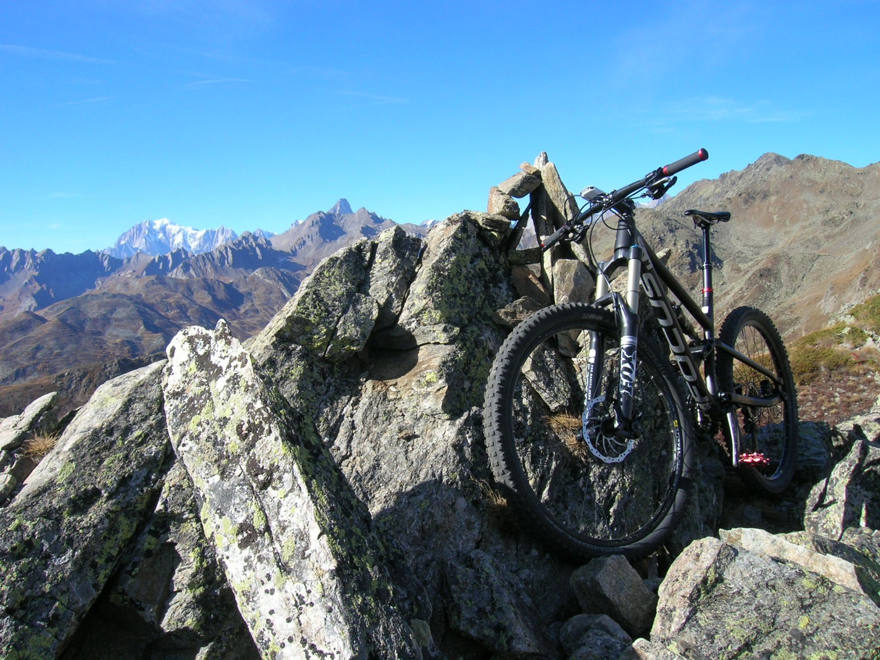
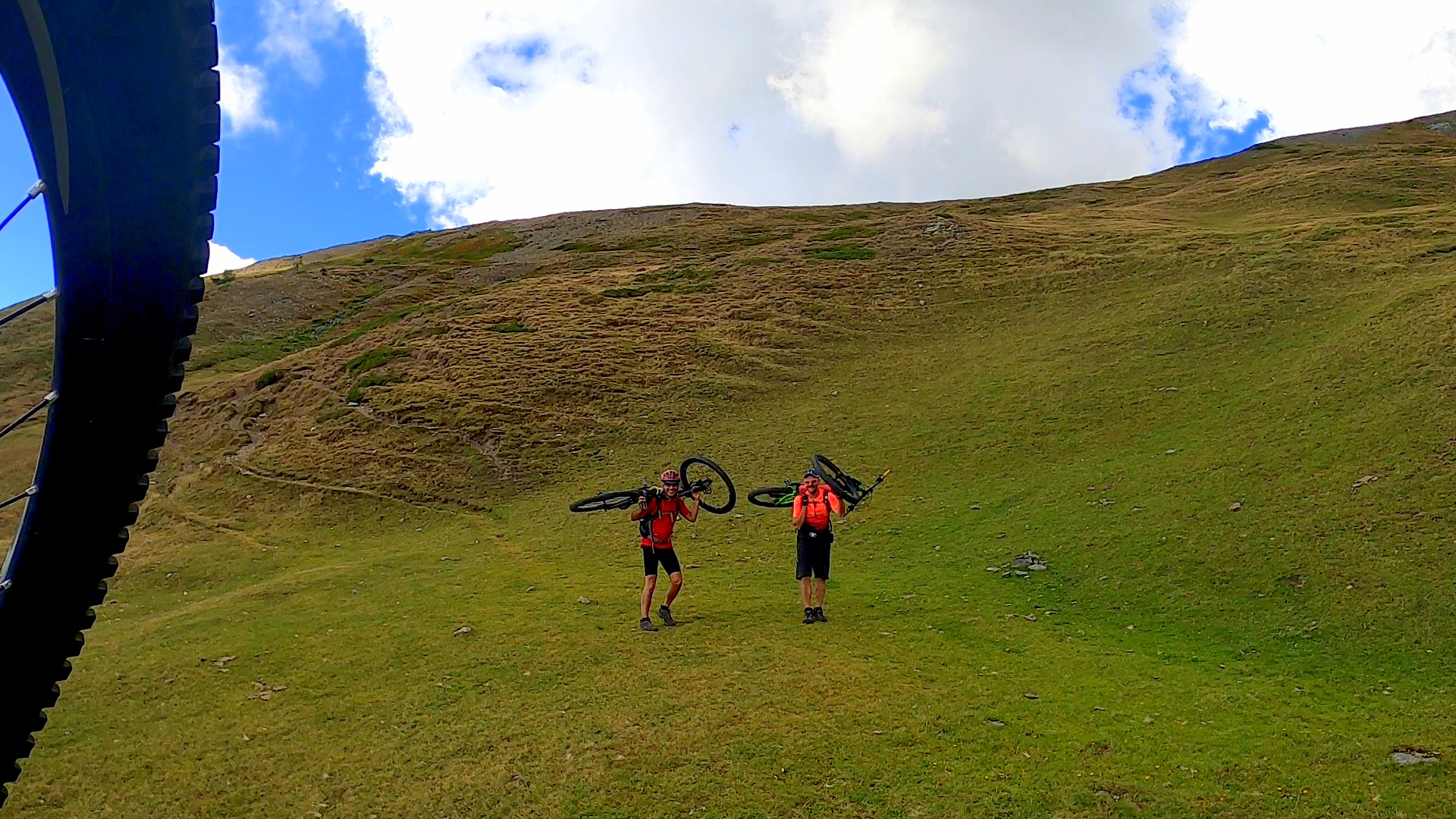
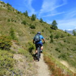
La salita si svolge su comodo sterrato in un bel vallone a sud, agevole il tratto di portage/spintage che porta in vetta.
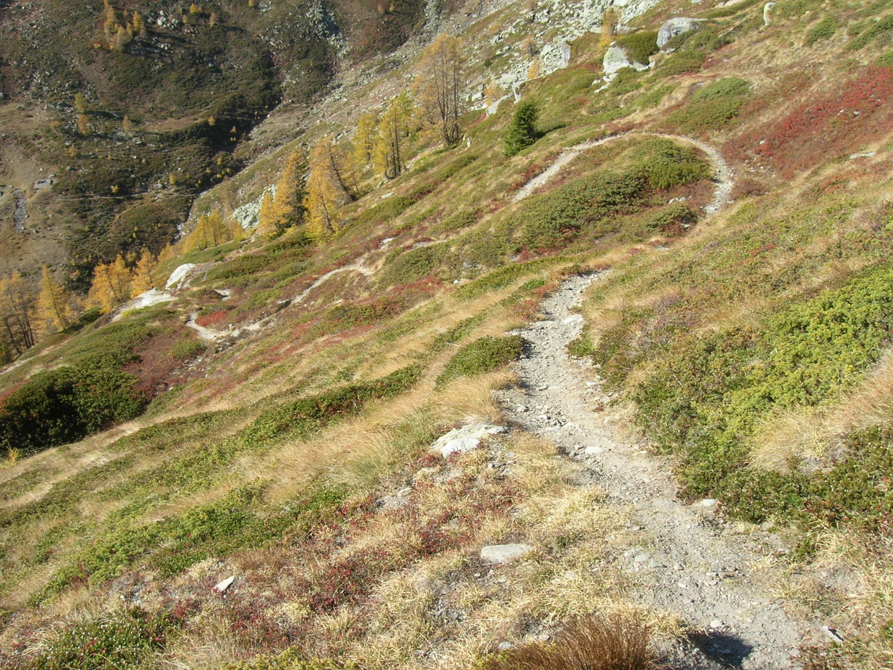
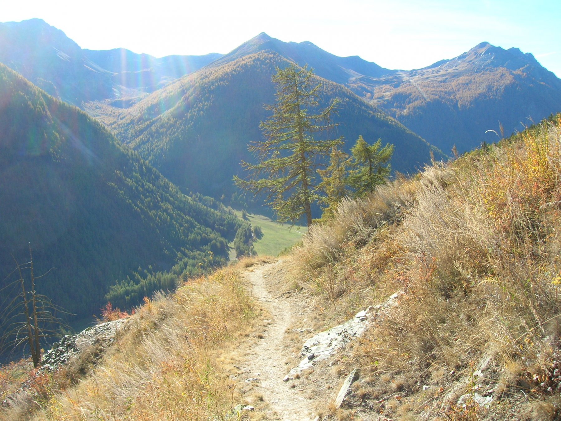
La discesa è molto tecnica lungo la prima parte con sezioni ripide, a tornanti stretti e fondo smosso mentre la seconda parte è più flow con uan bella parte tutta a tornanti sul finale.
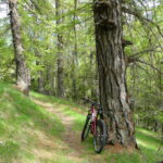
Avvicinamento
La discesa è molto tecnica lungo la prima parte con sezioni ripide, a tornanti stretti e fondo smosso mentre la seconda parte è più flow con uan bella parte tutta a tornanti sul finale.
Da Aosta risalire la vale del Gran S.Bernardo fino a Saint Oyen, lasciare l'auto nel parcheggio della chiesa, fontana nelle vicinanze.
Descrizione
Dal parcheggio scendere lungo la statale per alcune centinaia di metri e al primo svincolo prendere a sinistra la strada in salita che ci condurrà dapprima a Palais e poi a Prailles-Dessous dove comincia lo sterrato.
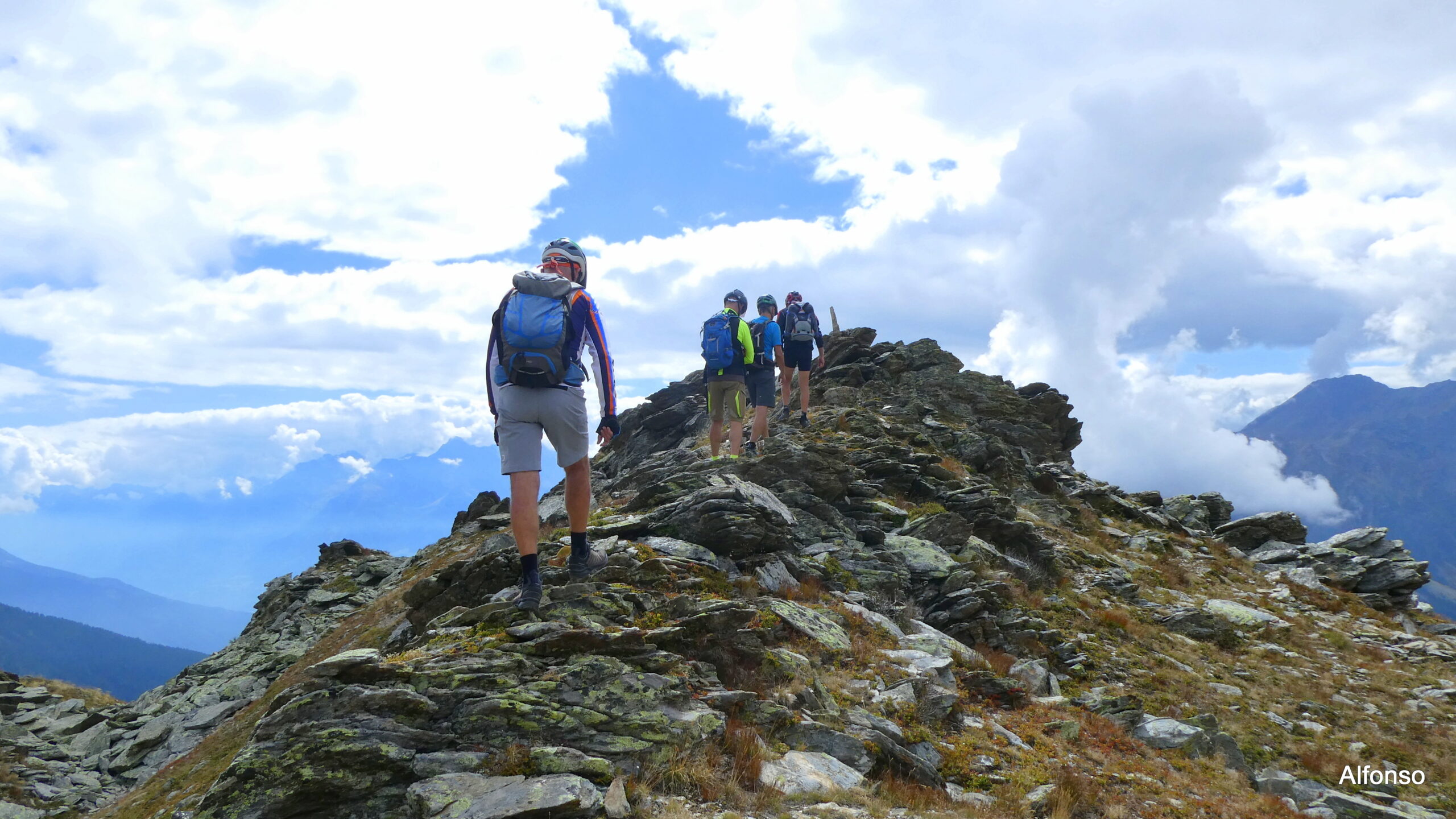
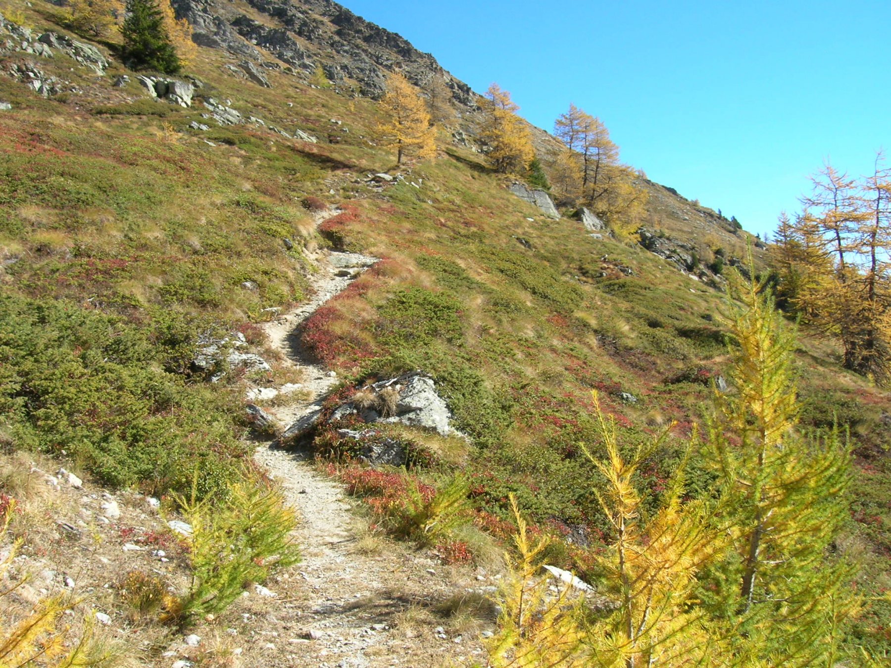
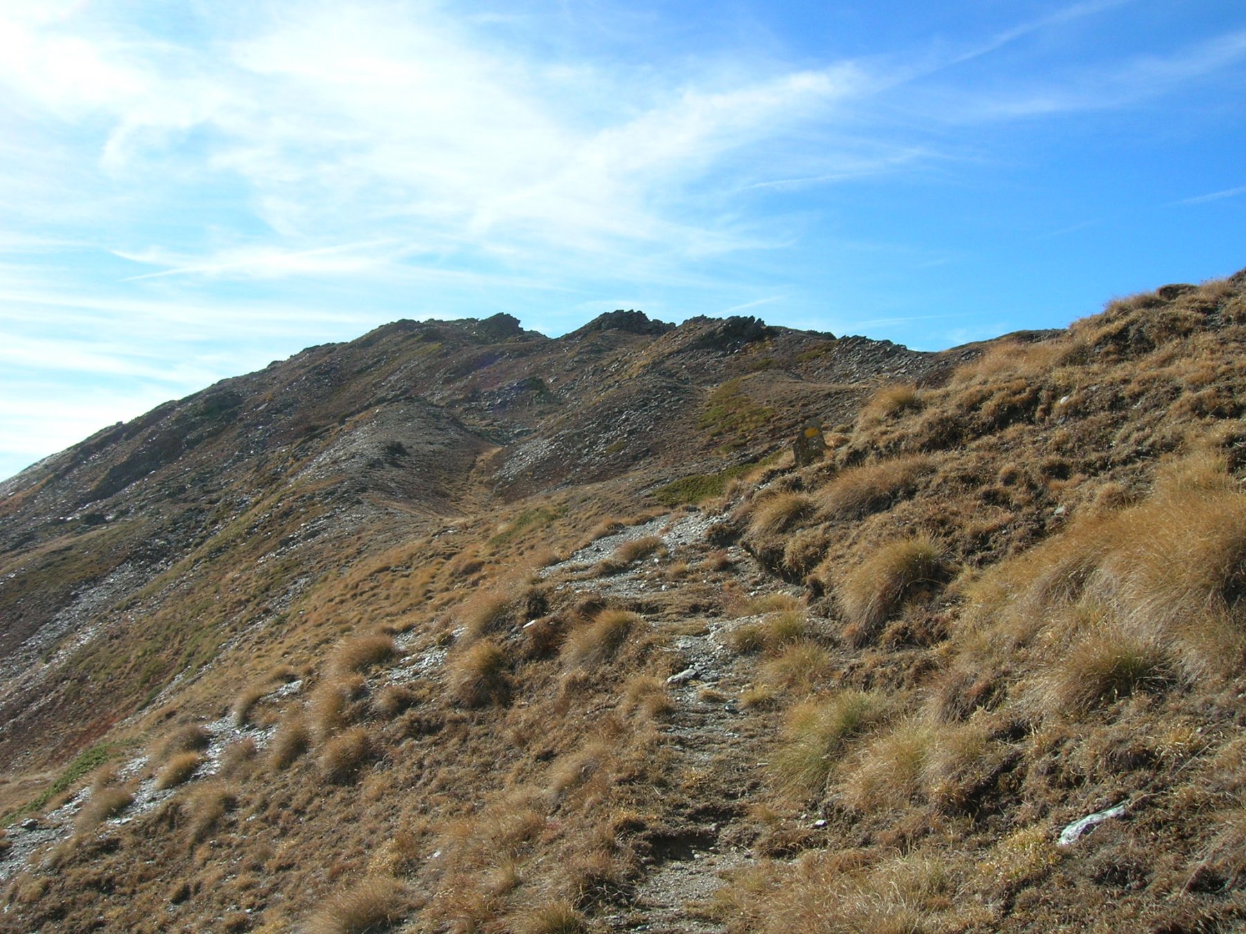
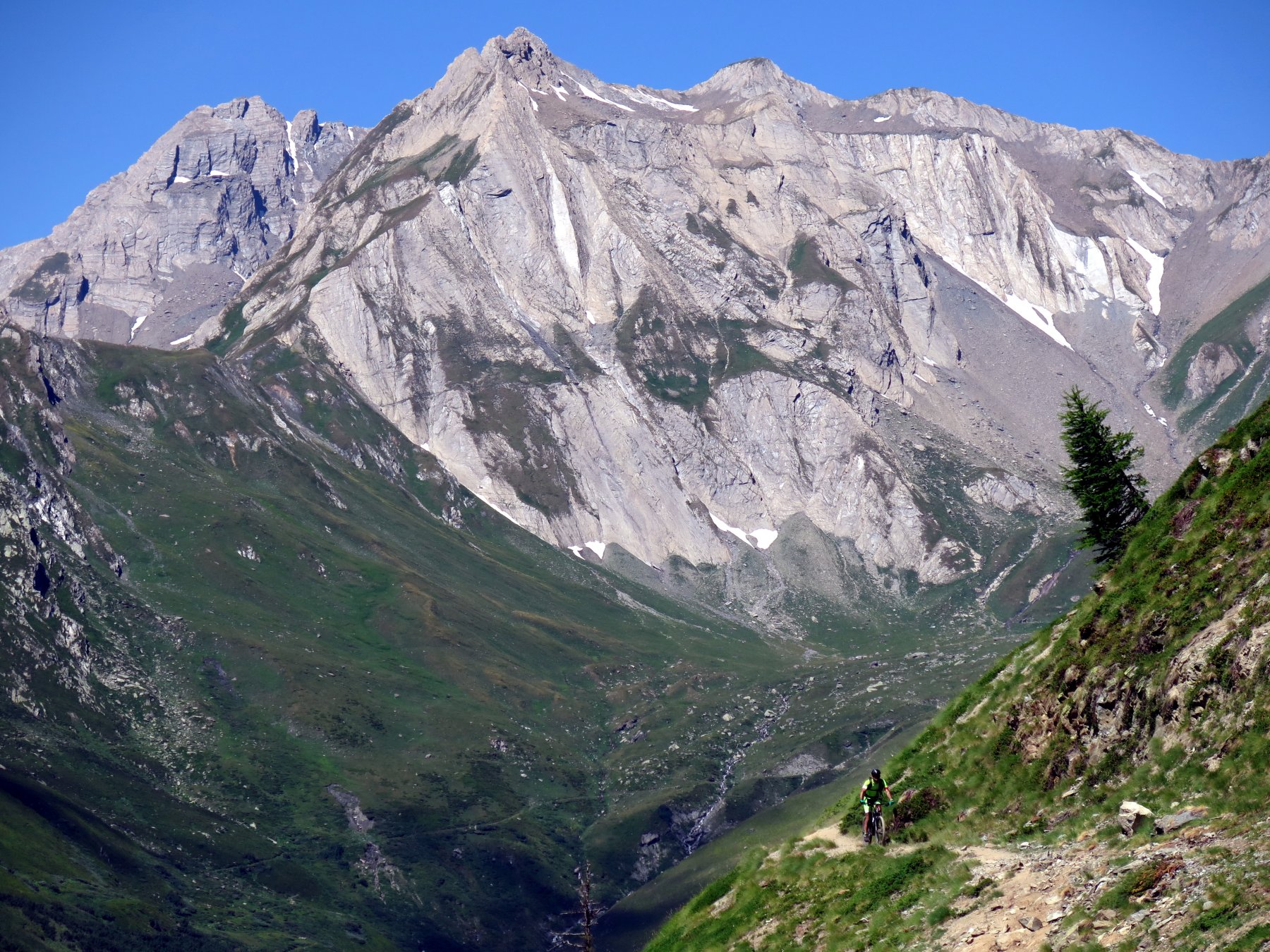
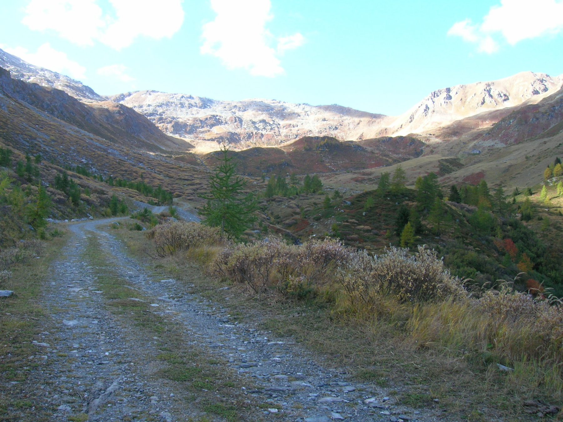
Seguire il comodo sterrato in direzione Col Menouve fino all’A.Tracaoudette a quota 2140 circa, transitare davanti al caseggiato e reperire il sentiero che conduce ai pianori superiori. A questo punto occorre seguire la traccia gps in quanto il sentiero si perde più volte ed è ridotto a vaghe tracce fino a quasi in cresta dove diviene più marcato e sono presenti dei segnavia gialli; raggiunta la selletta sotto la cima per buon sentiero se ne può raggiungere la panoramica vetta.
DISCESA:
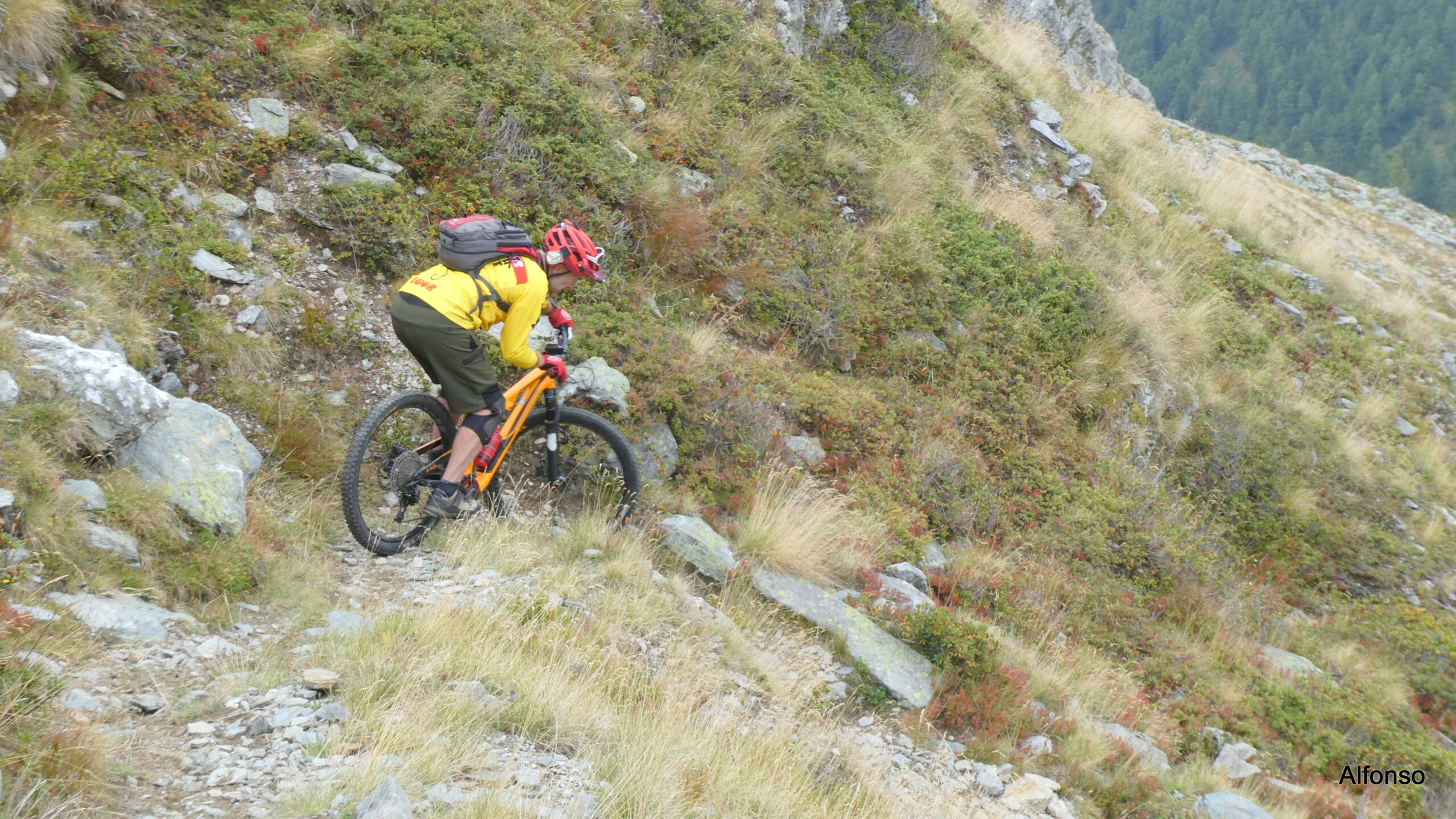
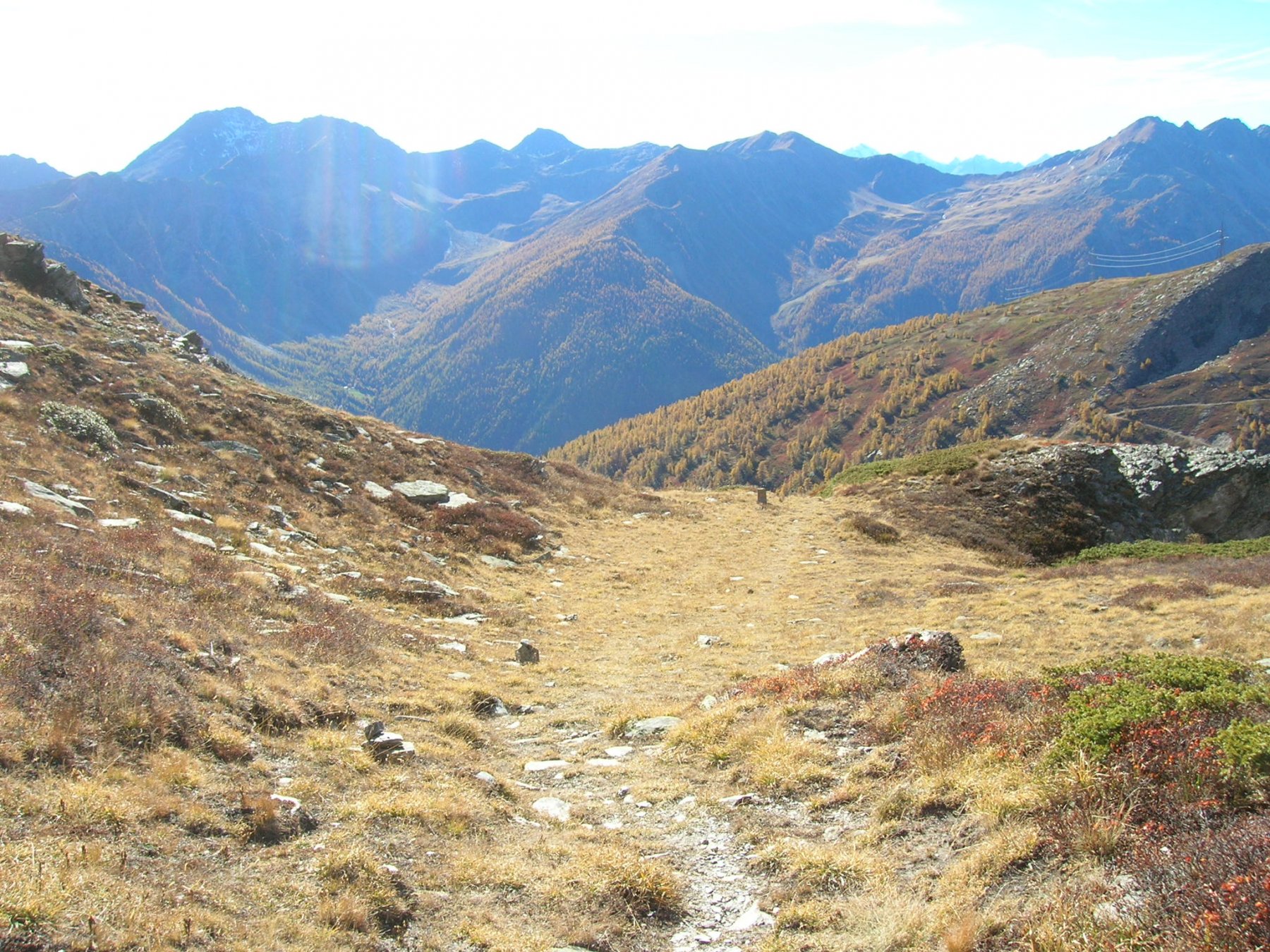
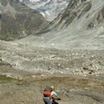
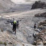
Dalla cima si percorre il bel sentiero che presenta alcuni tratti tecnici (S2) fino alla selletta, si svolta a sinistra e si arriva al tratto chiave della gita: un canalino roccioso molto ripido con tornanti stretti, ostacoli, poco spazio di manovra e fondo smosso (S4).
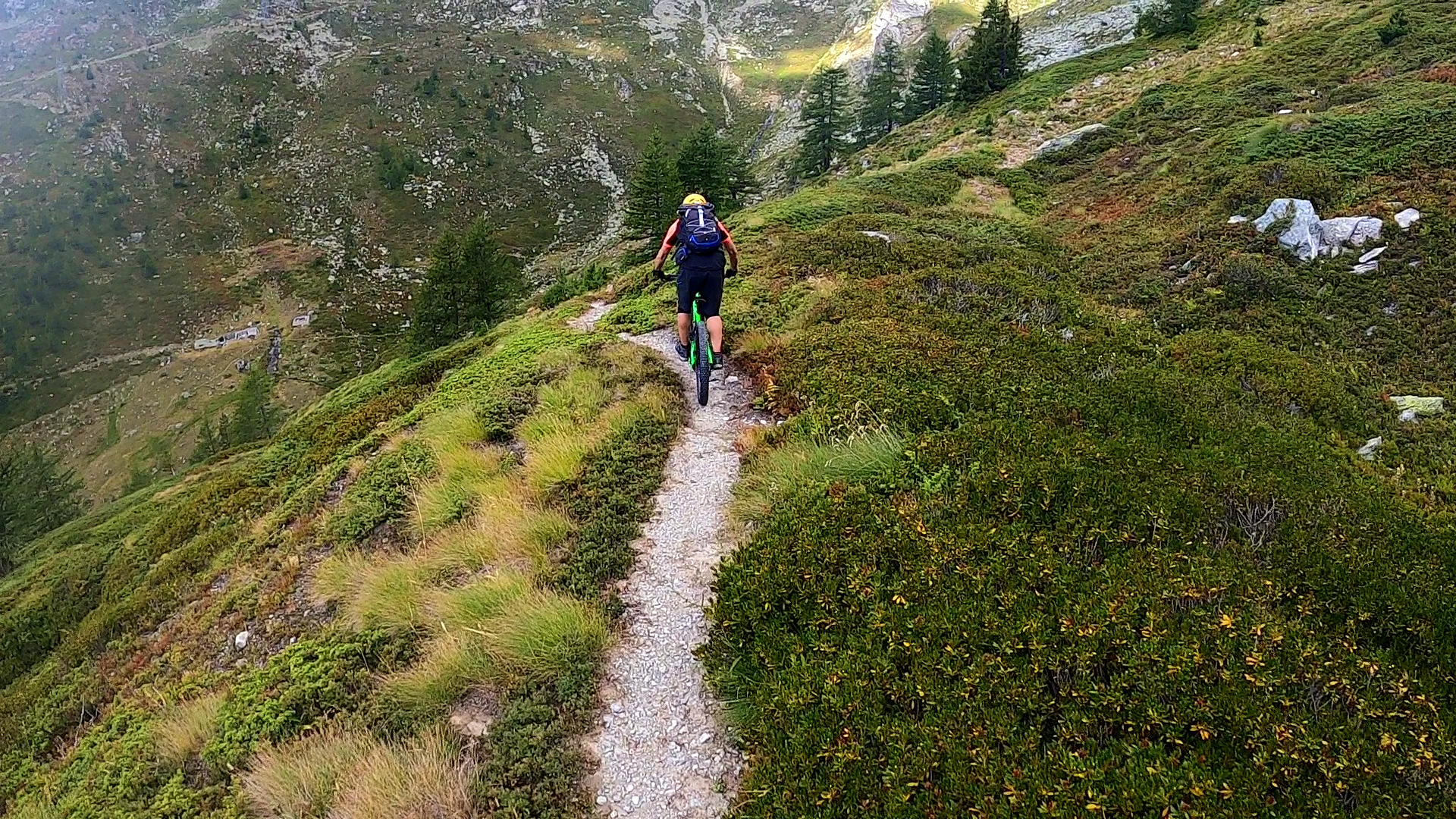
Superato questo tratto si raggiunge l’A.Paglietta e si prosegue verso l’A.Cretoux m.2080 su un bel percorso che alterna tratti flow ad altri più tecnici (S2-S4,sentiero 17).
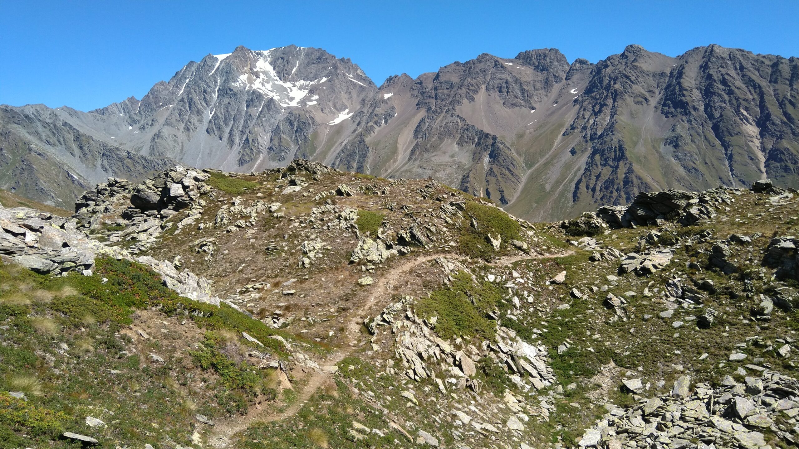
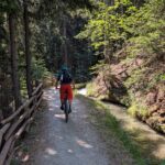
All’alpeggio si deve prendere il sentiero di sinistra (segnavia 16-17) che scende nel centro del vallone con bel percorso in prevalenza flow fino all’A.Barasson m.1870; proseguire diritto (segnavia 14) fino ad intersecare una sterrata e continuare sempre lungo il 14 che passando da Morguinaz (sentiero flow con numerosi tornanti, S2-S3) ci riporta direttamente a Saint Oyen.
Nelle vicinanze Mappa
Itinerari
15/08/2025 AO, Etroubles D+ 5400 m OC+, OC+, S4 Tutte
Durand (Fenetre) e Fenetre de Ferret da Etroubles, gran Tour des Combins per i colli Tsofeiret, de Mille, Neve de la Rousse (3 gg)
 1.2Km
1.2Km
24/06/2026 AO, Etroubles D+ 940 m MC, MC+, S1 Varie
Chaligne (Rifugio) da Etroubles
 1.9Km
1.9Km
28/07/2023 AO, Etroubles D+ 4926 m OC, OC, S3 Tutte
Durand (Fenetre) da Etroubles, giro del Gran Combin per Col de Mille e Colle del Gran San Bernardo (3 gg)
 1.9Km
1.9Km
23/08/2005 AO, Etroubles D+ 871 m BC Sud
Chaz Nouva (Alpe) da Prailles
1.9Km
29/08/2021 AO, Saint-Oyen D+ 1864 m BC+, OC, S3 Tutte
Vertosan, Citrin (Colli) da Saint Oyen, giro
 2.1Km
2.1Km
15/08/2006 AO, Saint-Oyen D+ 2200 m BC, TC, S1 Tutte
Flassin, Falita, Serena (Colli) da Flassin, giro
2.1Km
11/06/2023 AO, Etroubles D+ 600 m TC, BC, S2 Sud
Barasson (Alpe) da Etroubles
 2.7Km
2.7Km
01/09/2022 AO, Etroubles D+ 1000 m MC+, BC+, S2 Varie
Bois de Quart (Téte de) da Etroubles, giro del Vallone Flassin
 2.7Km
2.7Km
09/10/2018 AO, Saint-Rhemy-En-Bosses D+ 1405 m MC+, OC+, S4 Nord
Cordella (Testa) da Cerisey
 3Km
3Km
19/08/2023 AO, Saint-Rhemy-En-Bosses D+ 3250 m OC, BC+, S2 Tutte
Malatrà, Grand Ferret, Fenetre de Ferret (Colli) da Saint Rhemy en Bosses, giro
 3.5Km
3.5Km
Servizi
150m
 150m
150m
Hotel Mont Velan Albergo
Saint-Oyen 200m
200m
Château Verdun e Grange Neuve B&B
Saint-Oyen
250m
Mont Velan Albergo
Saint-Oyen 1.4Km
1.4Km
Camping Ristorante La Pineta Campeggio
Saint-oyen 1.7Km
1.7Km
Chez Lugon – Bar e Tennis Ristorante
Étroubles 1.7Km
1.7Km
Le Vieux Bourg Ristorante
Etroubles
1.8Km
Guido Letey – Noleggio con Conducente Servizi
Etrobles 1.9Km
1.9Km
Camping Tunnel International Campeggio
Etroubles 2Km
2Km