600m
600m
Note
 0m
50m
200m
200m
200m
200m
200m
200m
750m
900m
0m
50m
200m
200m
200m
200m
200m
200m
750m
900m
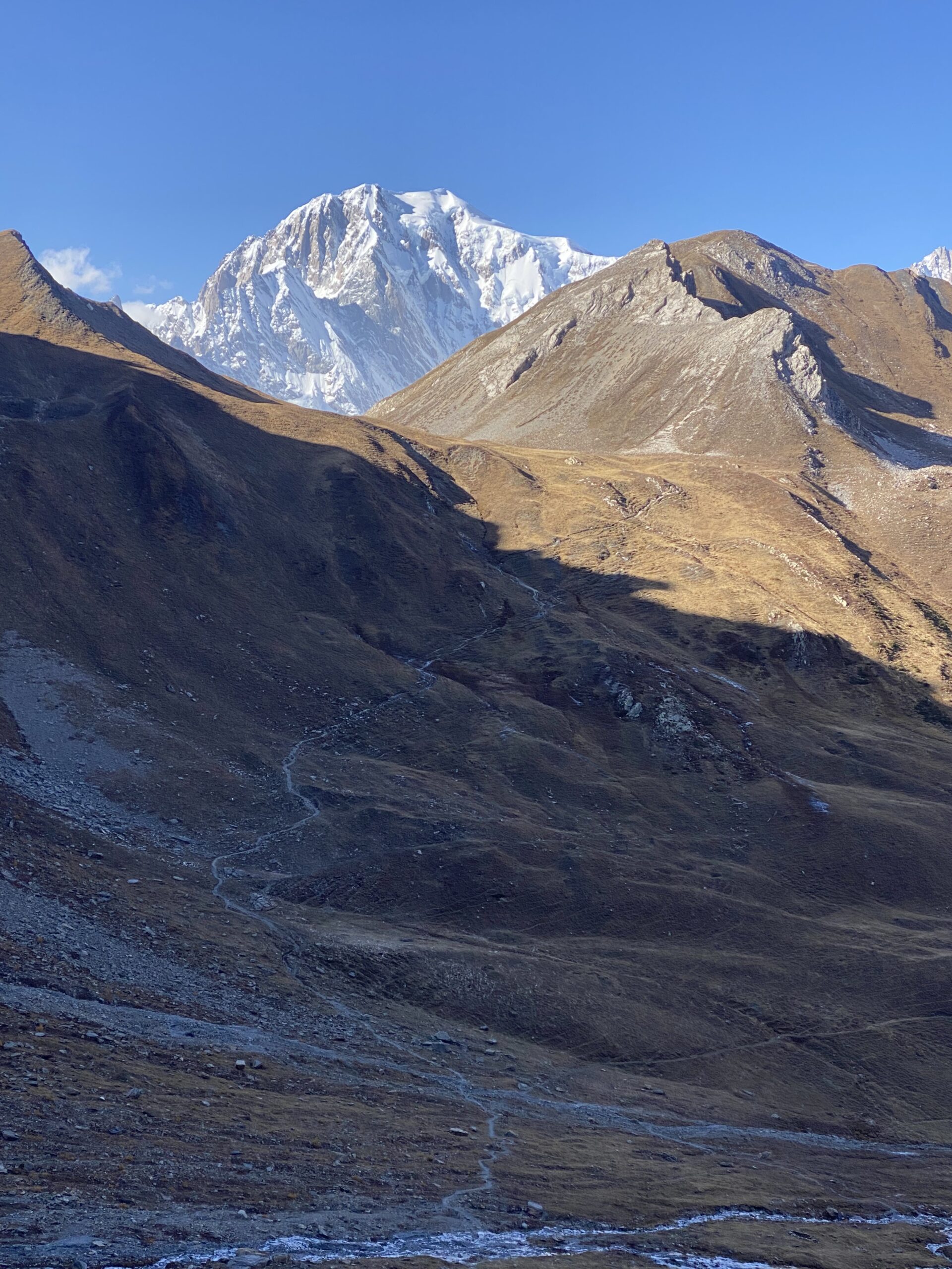
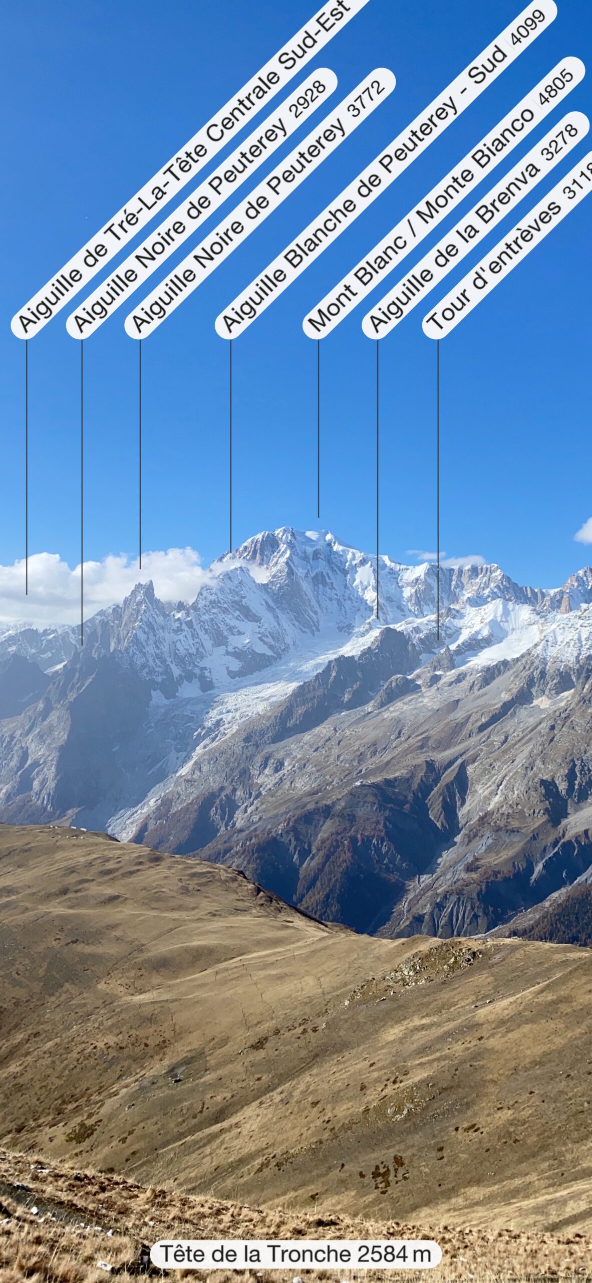
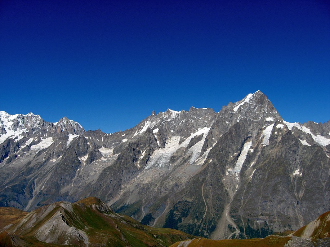
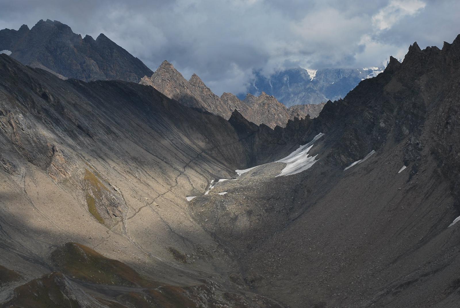
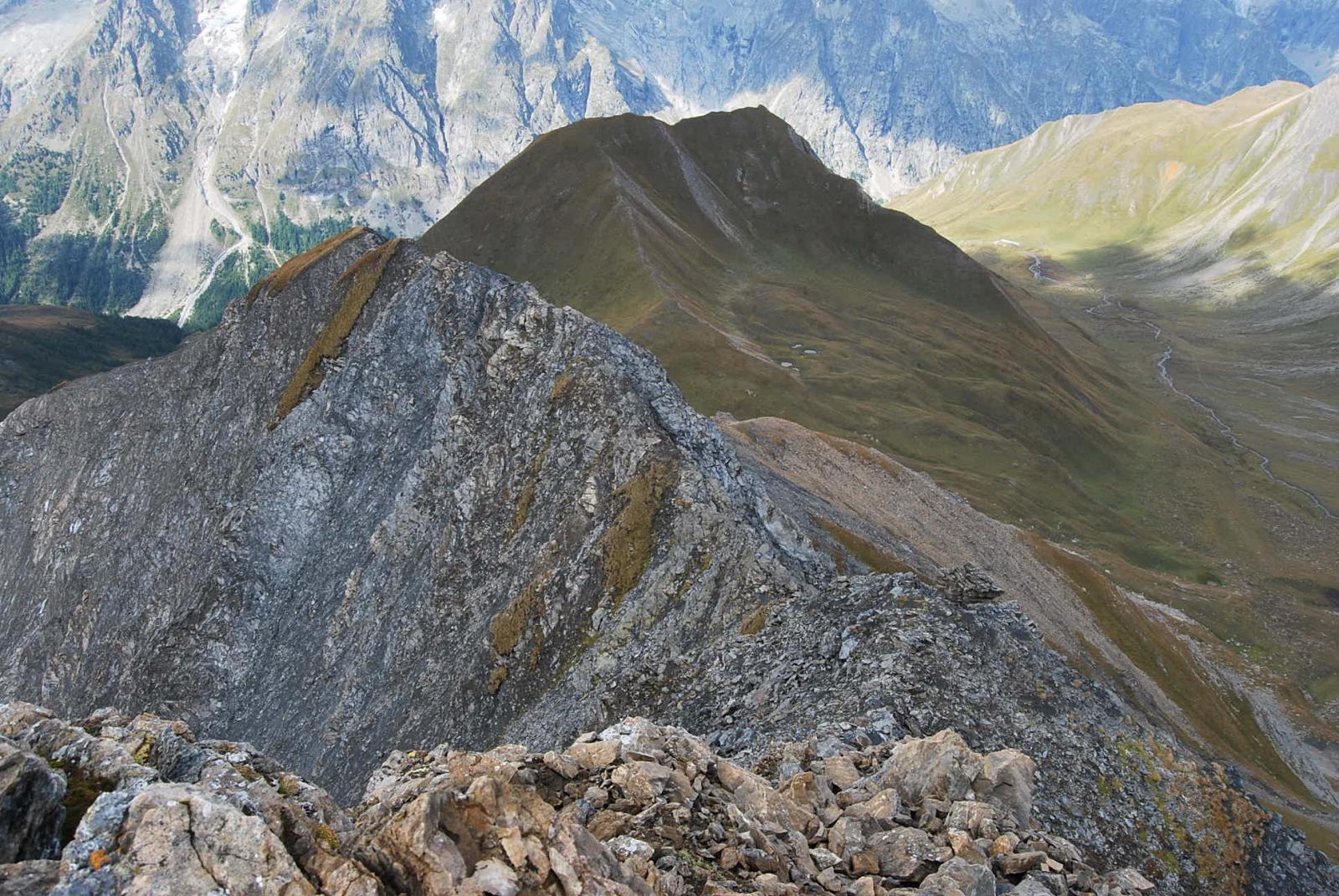
Bellissima traversata che porta da Morge nella Valle Centrale a Pra Sec in Val Ferret attraverso lo storico Colle Battaglione Aosta percorrendo i valloni di Chambave e di Arminaz. A questa traversata, che di per sé costituisce già un gitone, si può abbinare la salita alla punta quota 2955, posta sulla cresta che scende dalla Grande Rochere alla Tete entre Deux Sauts; questa vetta è di facile accesso ed è un eccezionale punto panoramico sulle testate dei valloni di Malatra ed Arminaz e sulla catena del Bianco.
Un aspetto da curare è la logistica, per fare in modo di ritornare al punto di partenza visto che Morge non è servita da mezzi.
Avvicinamento
Un aspetto da curare è la logistica, per fare in modo di ritornare al punto di partenza visto che Morge non è servita da mezzi.
Seguire la SS26 della Valle d’Aosta fino a LaSalle, quindi risalire la collina (seguire per Planaval) fino a superare la frazione Morge ove si parcheggia al tornante presso una fontana, sotto il pianoro di Belle Crete
Descrizione
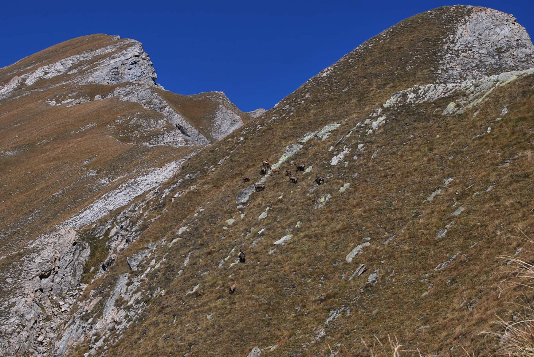
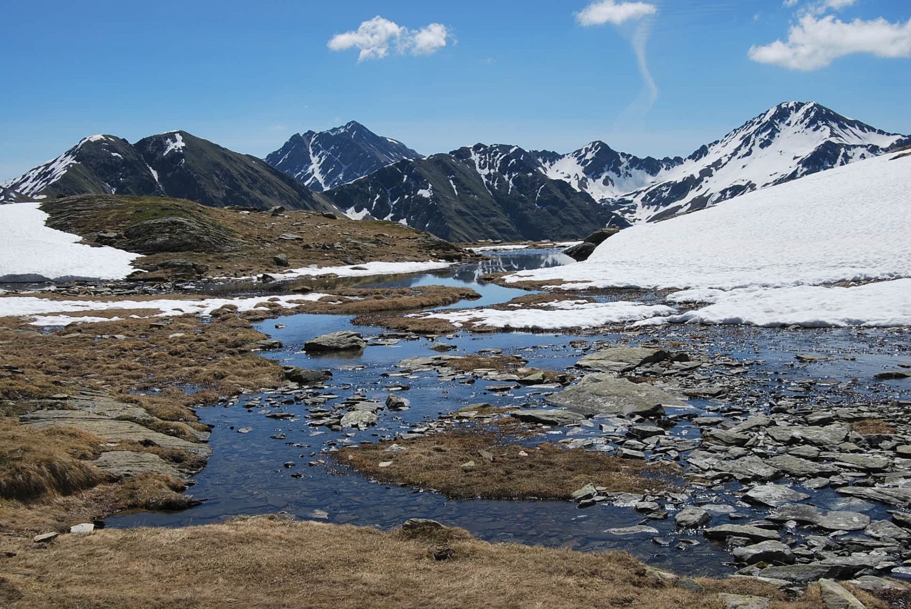
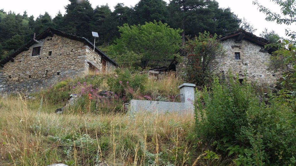
Dal parcheggio il primo tratto è comune a quello che porta al Lago e Colle di Liconi, sui sentieri 20-21. Seguire dunque la sterrata che dalla fontana porta al pianoro di Belle Crete e poi scende al torrente Colombaz e alle baite di Piginiere (1625 m); qui si continua lungo la mulattiera, salendo ad incontrare la strada che arriva da Planaval.
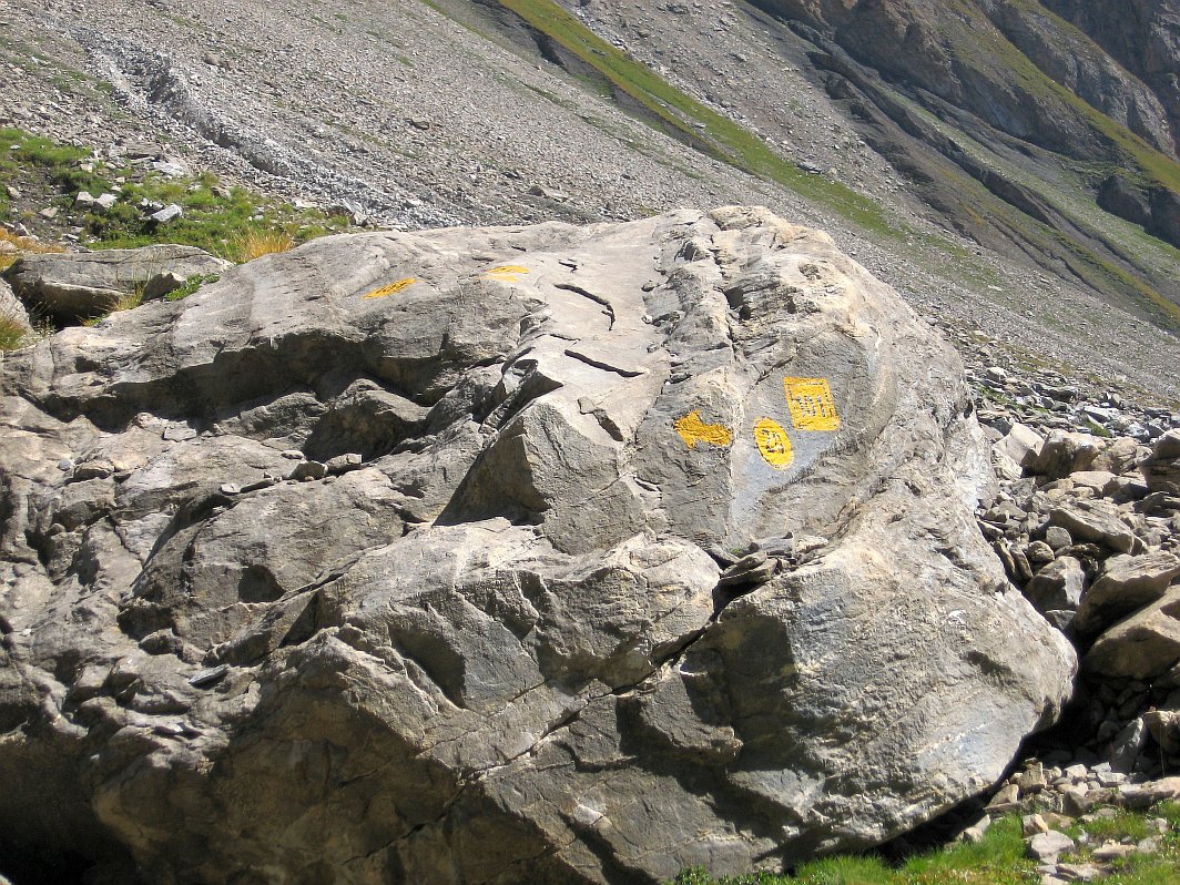
Poco oltre la sterrata diventa sentiero (pietra con bollo sulla sinistra), che prosegue in piano a mezzacosta aggirando le pendici dell’Aouille; superati due passaggi attraversati da rivoli che dominano il sottostante orrido si entra nel vallone di Chambave, con il torrente in basso alla propria sinistra.
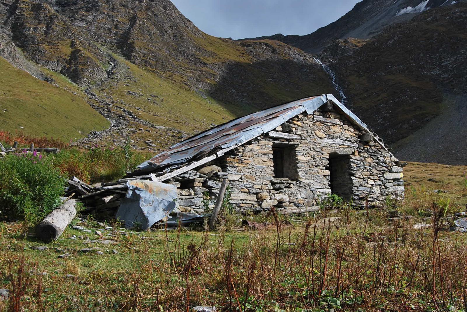
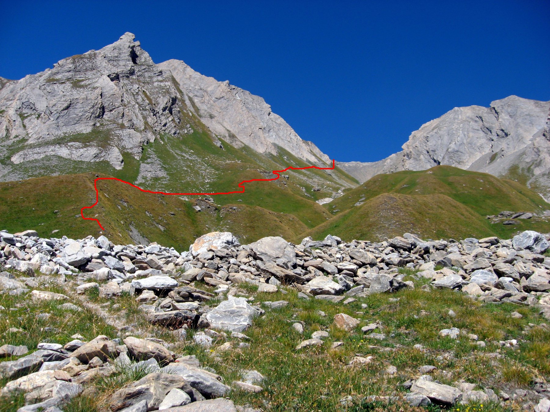
Prima di arrivare al ponte si incontra il bivio tra i sentieri 20 e 21: il bivio è poco visibile, vi sono due ometti che lo segnano ma con un po’ di attenzione se ne nota la traccia. Prendere allora il ramo di destra (il n. 20), che prende quota rapidamente, attraversa tratti franati, risale un panettone erboso ed arriva all’Alpe Gran Plan (2187).
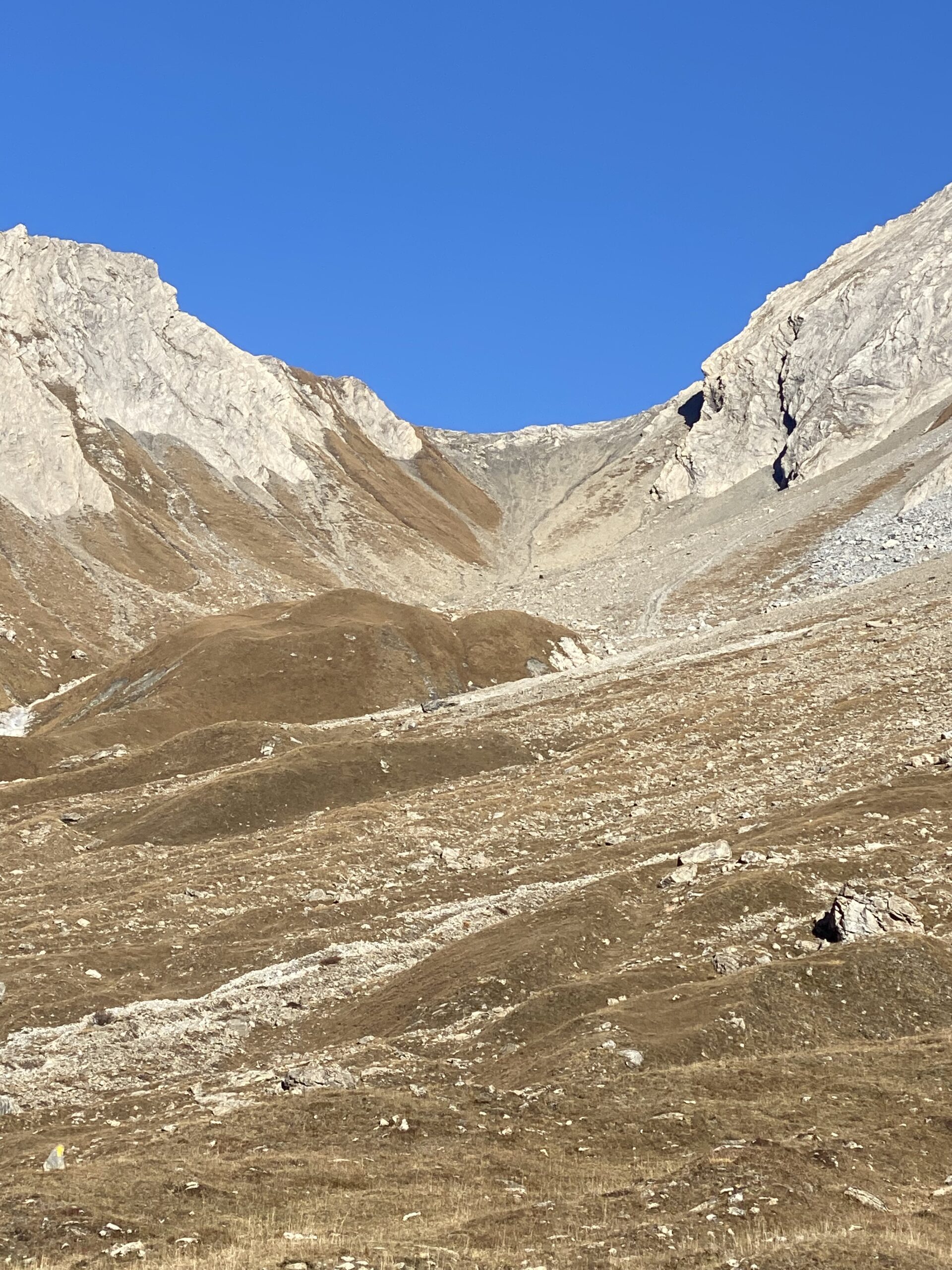
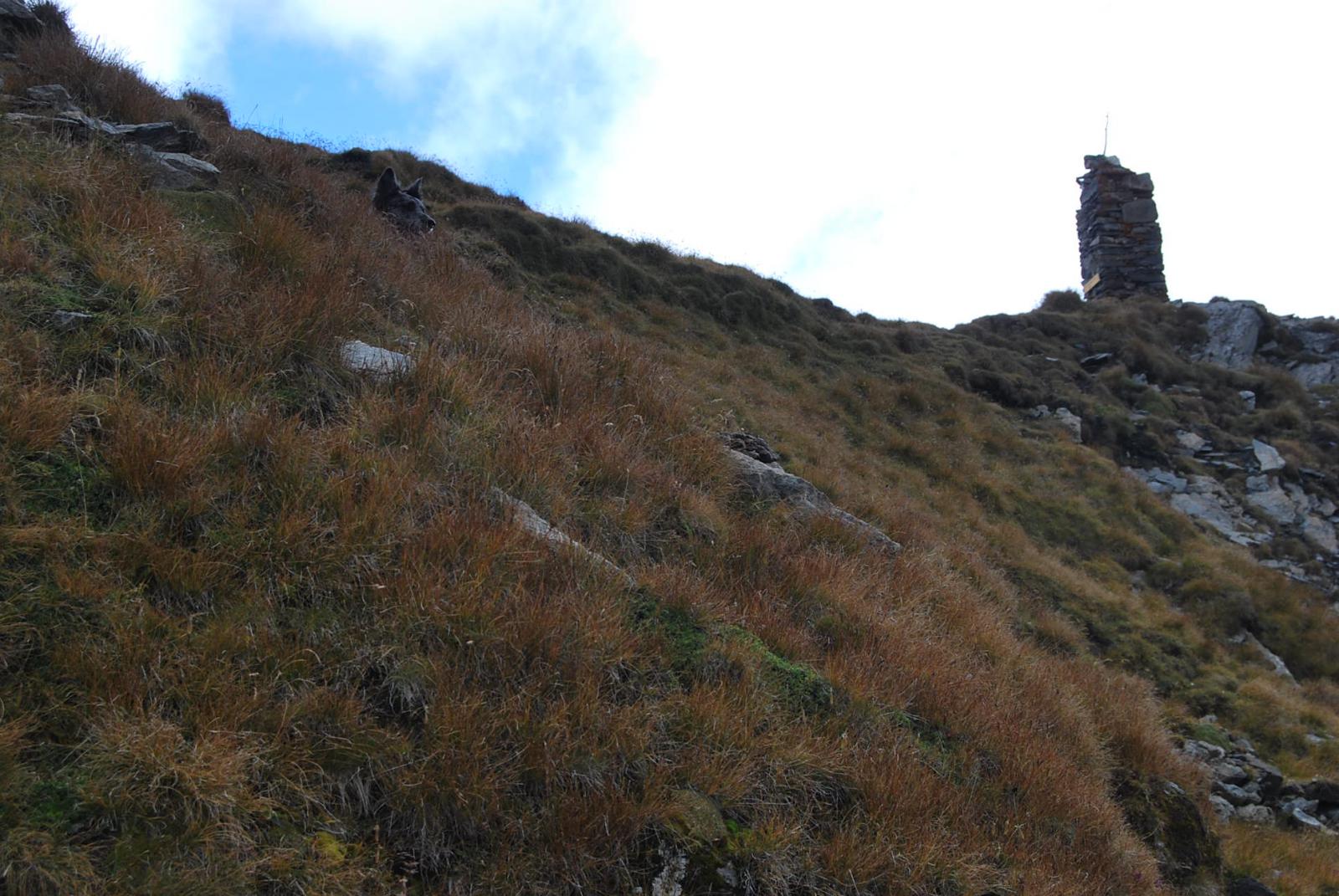
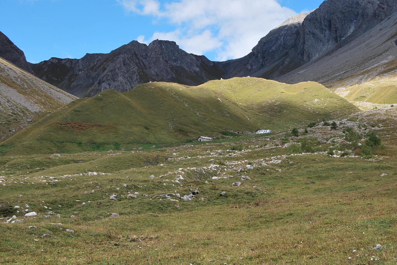
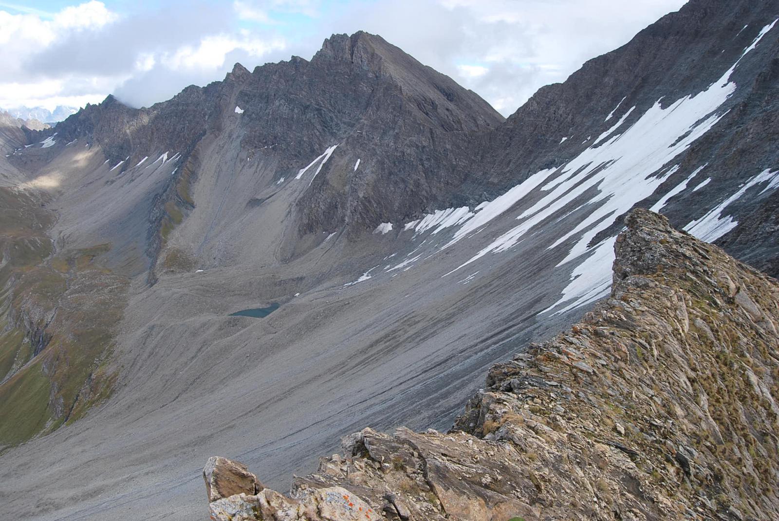
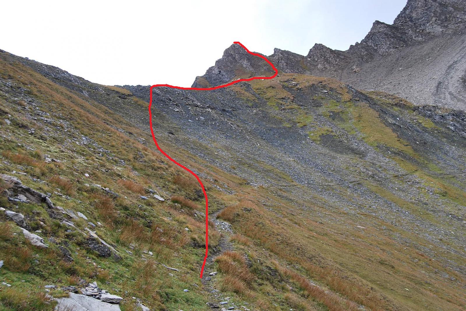
Qui si supera il promontorio erboso alle spalle dell’alpeggio, dove il sentiero si confonde spesso con le tante tracce di bestiame ma sono sempre presenti segni gialli, e prosegue verso la testata del vallone mantenendosi sempre sul fondo; arrivati ad un altro promontorio erboso lo si risale, si attraversa il solco del vallone e per i tanti zig-zag si guadagna il colle (2882 m), individuato dal grosso ometto.
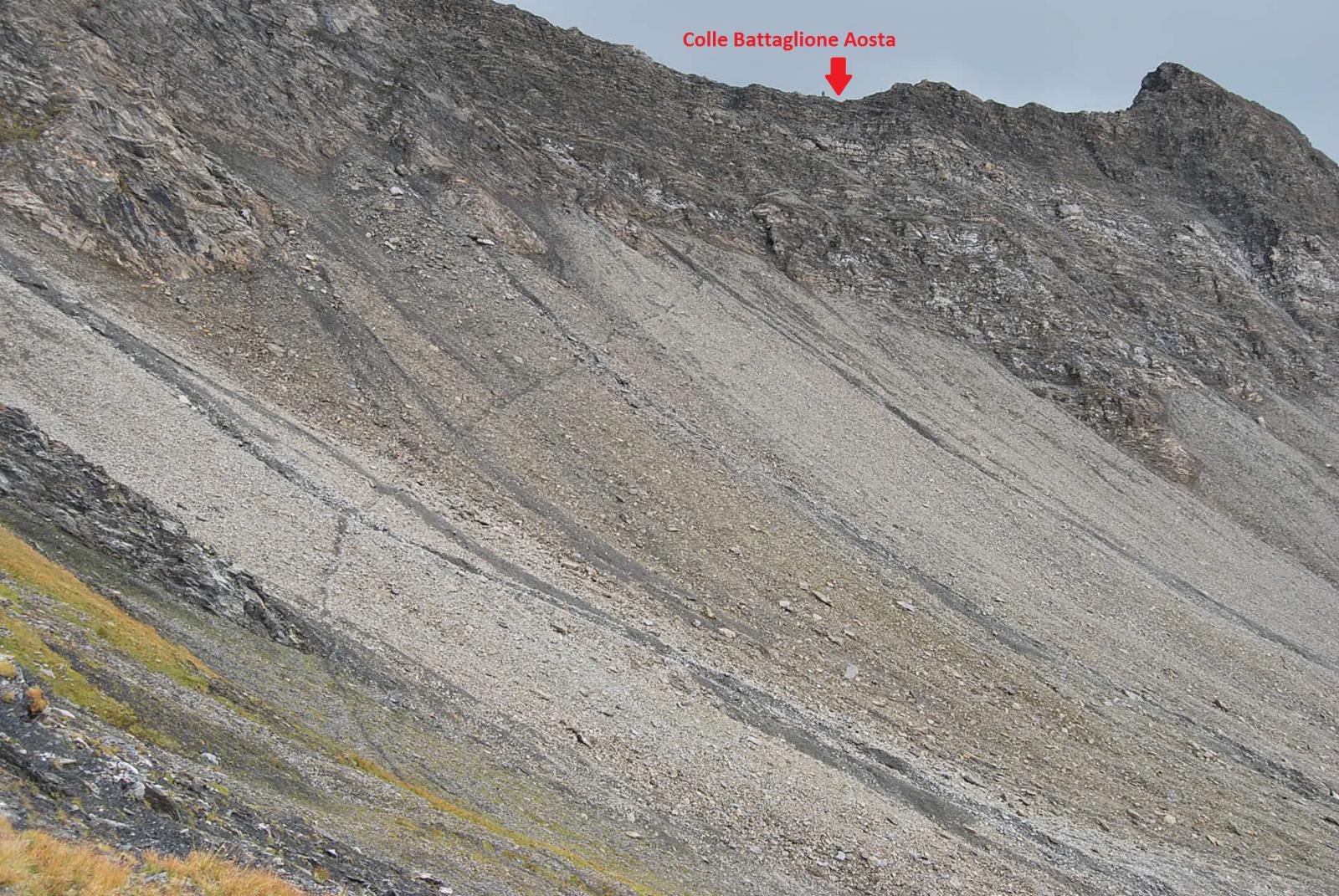
Scendere sul versante Arminaz lungo il sentiero ancora visibile ma franato in molti punti (attenzione ai punti sconnessi) ed attraversare con un ampio semicerchio la pietraia; si ritorna sulle pendici erbose e poi con un nuovo tratto più ripido si arriva alla Tsa di Secheron (2260 m), dove ci si ricongiunge con il sentiero che sale al Pas entre deux Sauts. Si ignorano le indicazioni per il Col Sapin (segnavia 42) e si prosegue verso il fondo valle lungo il torrente fino agli alpeggi di Arminaz (2009 m) dove si incontra l’Alta Via 1; qui, seguendo il sentiero individuato con il n. 29 (che nella parte più bassa è spesso pantano, in quanto invaso dall’acqua) si scende in Val Ferret arrivando alla località Pra Sec.
Difficoltà: praticamente E, visto che il percorso è tutto su sentiero visibile e ben marcato. Attenzione però ai tratti franati sotto il colle versante Arminaz.
Variante:
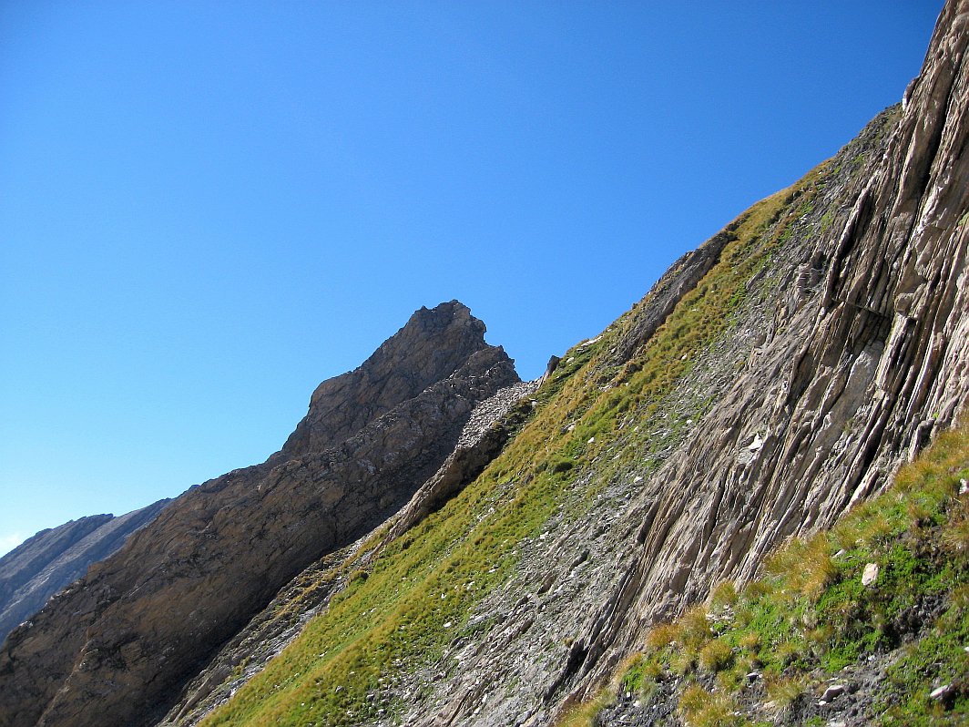
Una volta al colle del Battaglione Aosta, volendo aggiungere un po’ di pepe e duecento metri di dislivello alla gita si può raggiungere la quota 2955 sulla linea di cresta poco oltre il colle che domina il vallone di Malatrà. Lo si raggiunge dopo aver compiuto l’ampio semicerchio nella pietraia sotto il Colle Battaglione, risalendo i pendii che adducono alla quota 2955 che poi andranno ridiscesi per ritornare sul percorso principale.
- Cartografia:
- Carta L’Escursionista, Fg. 1 (Mt. Bianco), scala 1:25000
- Bibliografia:
- A. Giorgetta - Valdigne, gli itinerari escursionistici, Zanichelli Editore
Nelle vicinanze Mappa
Itinerari
28/06/2026 AO, La Salle D+ 1500 m E Varie
Liconi (Testa di) da Morge
 0m
0m
24/09/2015 AO, La Salle D+ 1500 m EE/F Tutte
Liconi (Testa di) da Morge, anello per la Testa Drumiana
 50m
50m
10/06/2017 AO, La Salle D+ 1173 m EE Varie
Valletta (Punta) da Morge, traversata a Saint Rhemy per i Laghi di Dzioule
 200m
200m
29/07/2023 AO, La Salle D+ 973 m E Varie
Fetita (Punta) o Falita da Morge
 200m
200m
20/06/2026 AO, La Salle D+ 1174 m EE Sud-Ovest
Frà (Testa dei) da Morge per il Colle Fetita
 200m
200m
25/06/2026 AO, La Salle D+ 1650 m EE Varie
Serena (Testa di), Punta Fetita, Testa dei Frà, Punta di Dzioule da Morge, anello per i Laghi di Dzioule e Bivacco Claudio Bredy
 200m
200m
17/06/2019 AO, La Salle D+ 400 m E Varie
Les Ors (Lago di) da Morge, anello
 200m
200m
10/11/2024 AO, La Salle D+ 1000 m EE Varie
Fetita (Punta) o Falita da Morge, anello per crestone SO e Col Fetita
 200m
200m
07/01/2017 AO, La Salle D+ 1090 m EE Varie
Fetita (Col) o Falita da Cheverel, anello per Vedun e Charvaz
 750m
750m
26/11/2022 AO, Morgex D+ 322 m E Varie
Liconi (Alpeggi) da Grassey, anello per Villotte
 900m
900m