50m
50m
Note
 50m
50m
50m
50m
50m
50m
50m
50m
50m
50m
50m
50m
50m
50m
50m
50m
50m
50m
50m
50m
50m
50m
150m
1.5Km
2.9Km
2.9Km
3.6Km
3.6Km
4.2Km
5.1Km
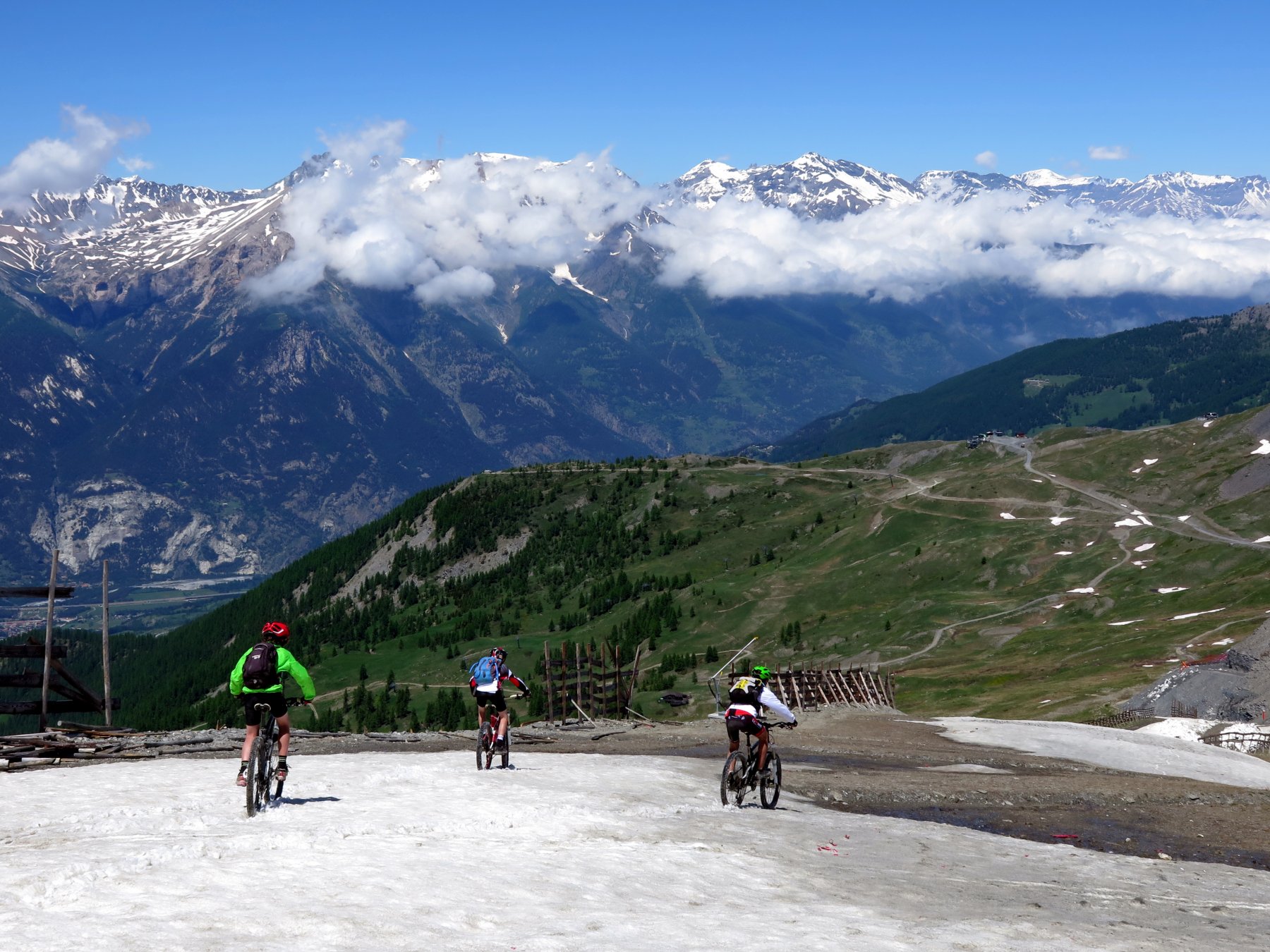
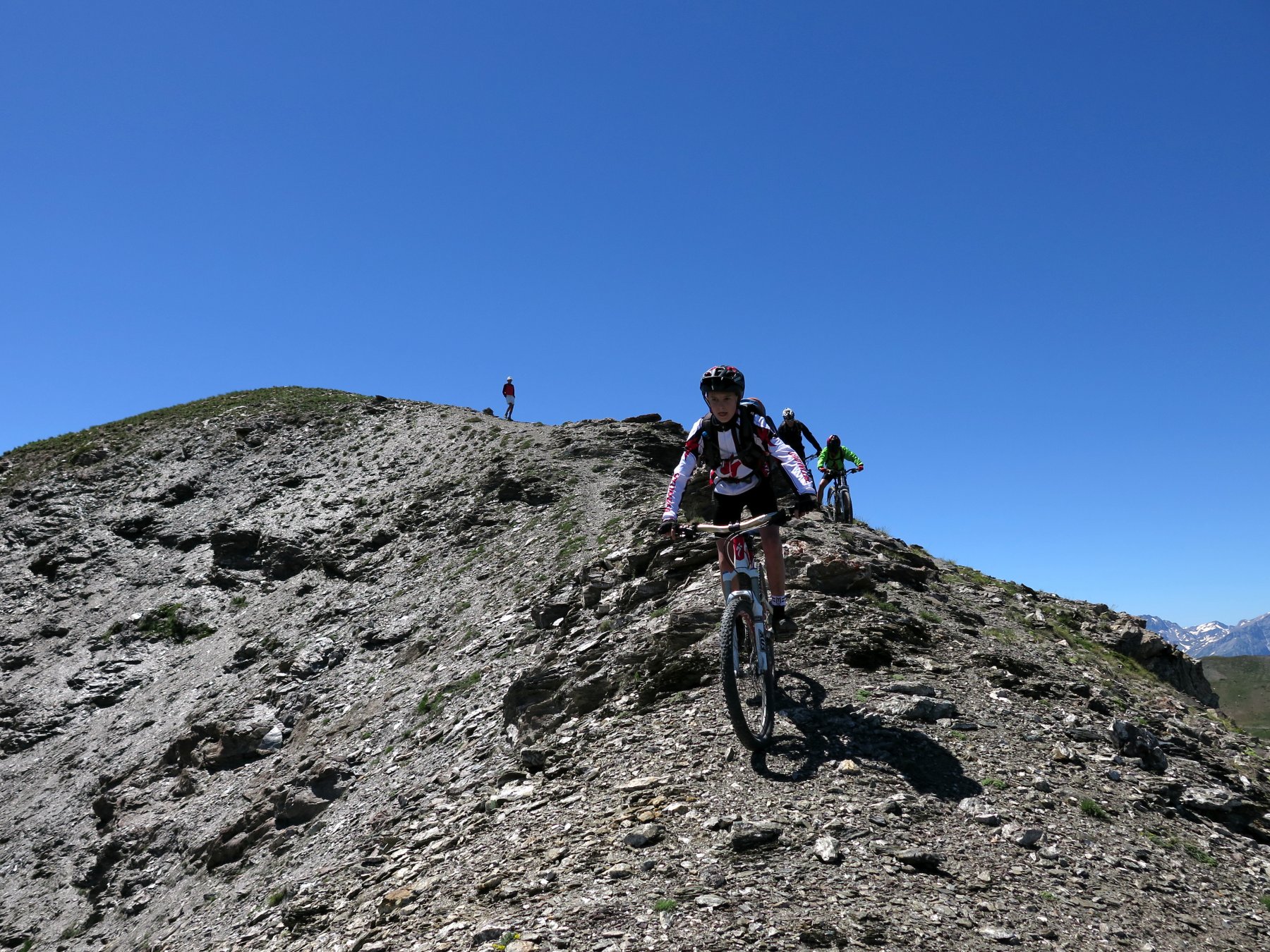
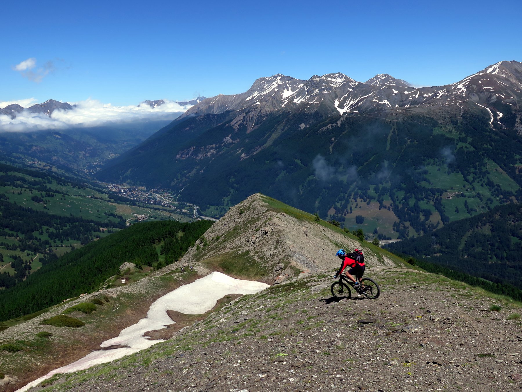
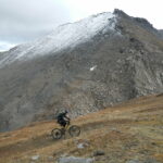
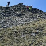
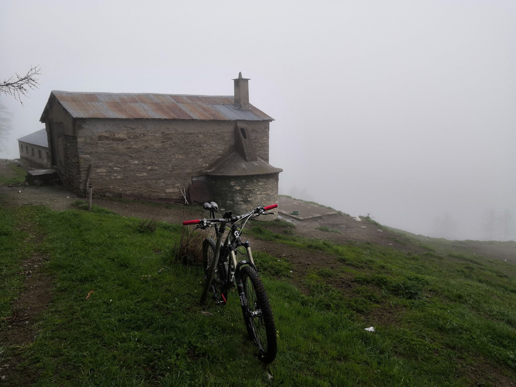
Gita molto bella con panorami stupendi sulle nostre Alpi, se la giornata è bella si vedono chiaramente anche le cime Francesi, la salita dalla "Via del Gas" è sconsigliata a chi non ha un buon allenamento perchè con le sue rampe che arrivano al 22/25% taglia le gambe! Discesa dal Pitre da non sottovalutare, la cresta è molto difficile e molto esposta! Nel complesso gran giro!
Avvicinamento
.
Descrizione
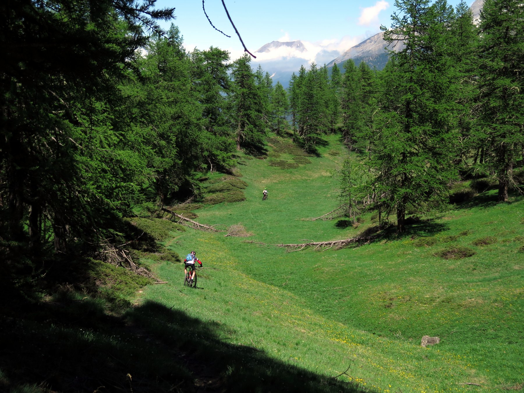
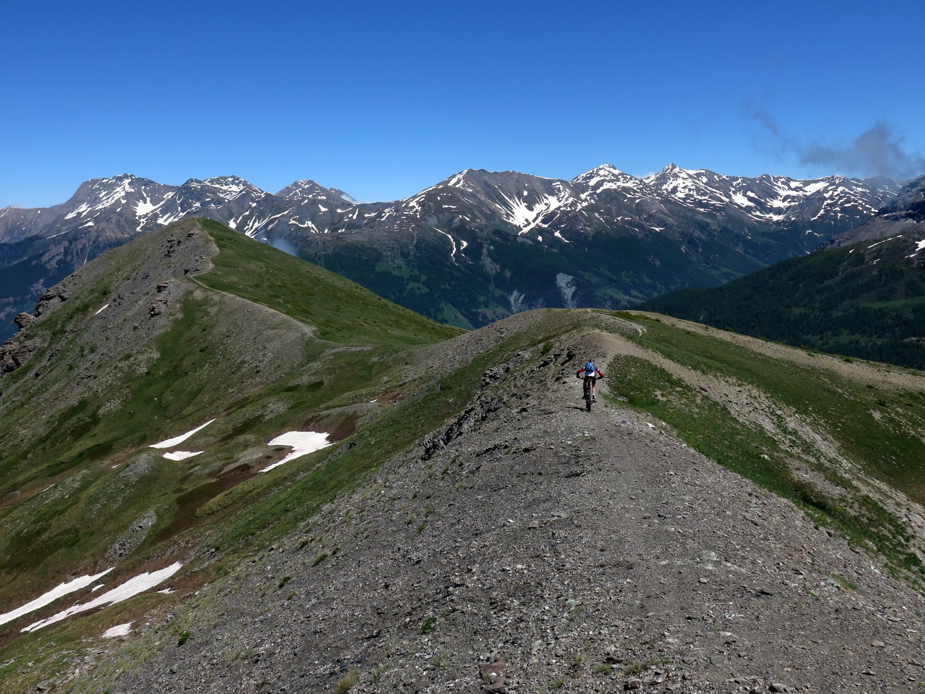
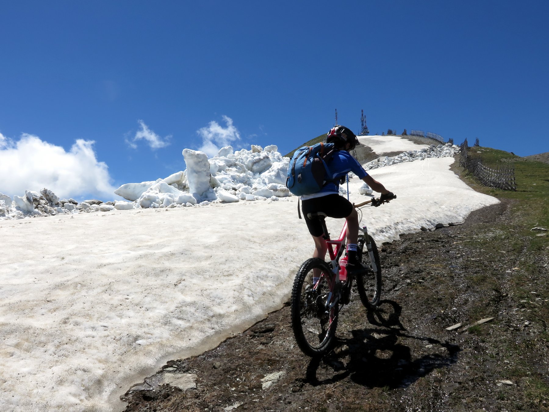
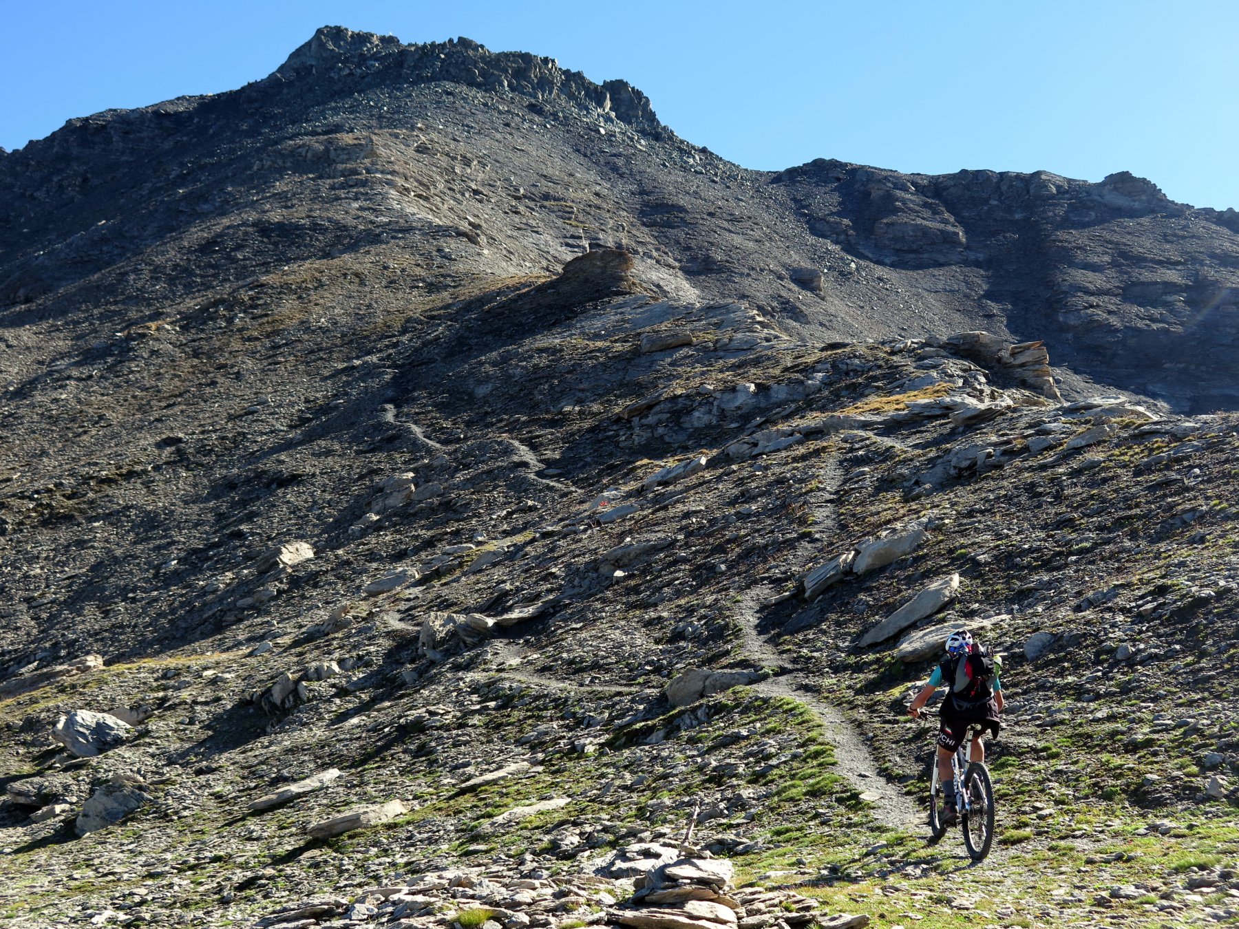
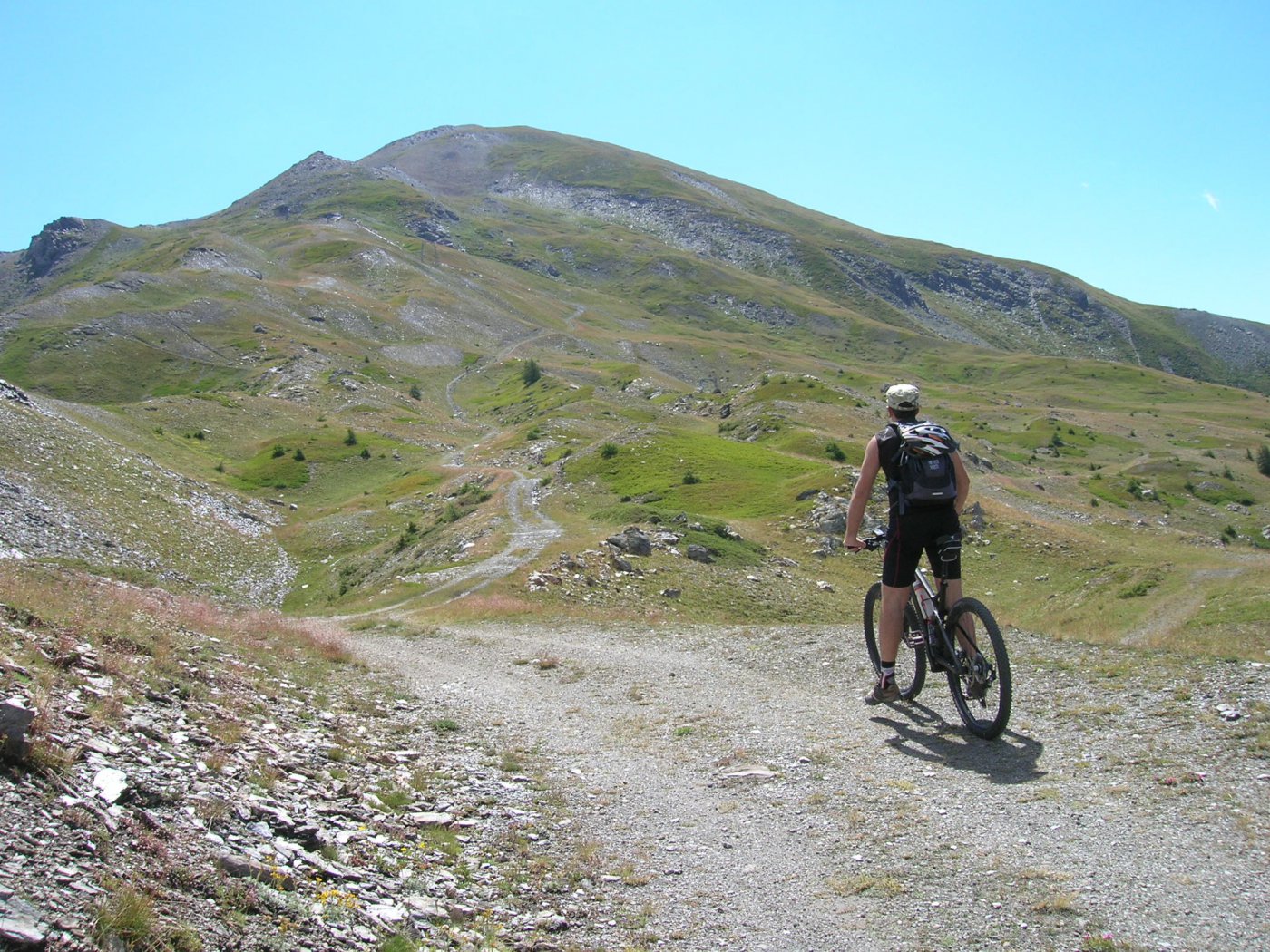
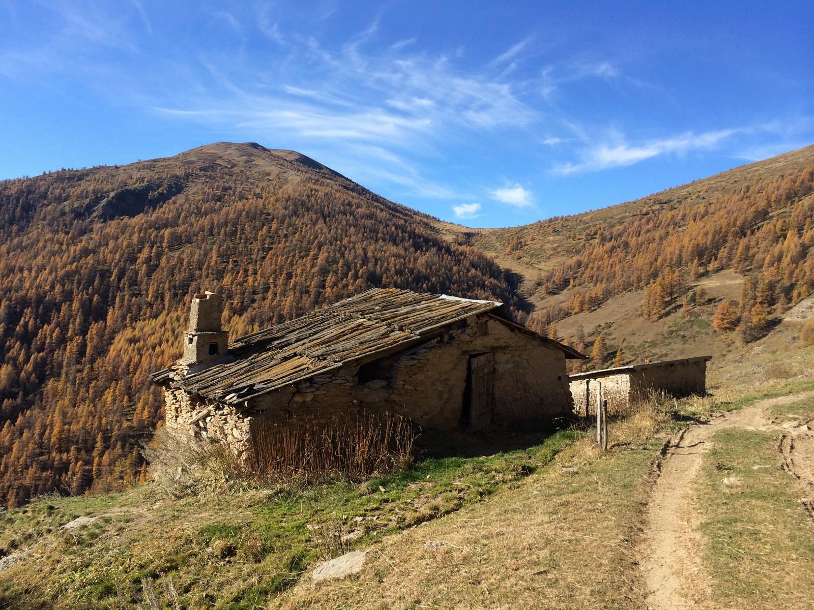
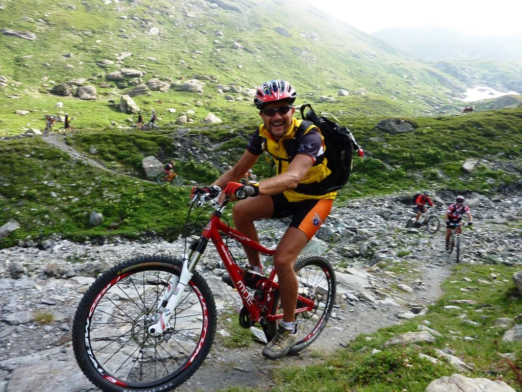
Partiamo in bici da Pragelato (fraz. Plan)1588m. circa, dopo aver lasciato la macchina nel secondo parcheggio ci dividiamo in due gruppi, uno prosegue sulla strada per la val Troncea fino a Pattemouche dove si svolta prima a destra passando dentro alla borgata e successivamente a sinistra seguendo i segni GTA che ci portano su una ripida rampa in corrispondenza della pista da sci, seguiamo questa strada di servizio agli impianti (denominata anche “Via del Gas” poichè segue tutto il tracciato del metanodotto che arriva a Borgata Sestriere) tenendo sempre la destra fino a raggiungere un ponticello in legno dove la strada attraversa il rio Chisonetto e con due tornanti ci porta in prossimità di Borgata. Proseguiamo alla volta delle piste da sci del Sestriere seguendo anche qui la strada di servizio degli Impianti fino a giungere al Colle del Sestriere (2035m.). Ci ricongiungiamo con il secondo gruppo che ha affrontato la salita seguendo la strada asfaltata “statale 23”, dopo essere passati nel centro di Sestriere e successivamente vicino al Lago Losetta, al bivio per il Colle Basset e Strada militare dell’Assietta, la imbocchiamo svoltando a sinistra su ampia strada sterrata (carrozzabile e aperta al traffico) e proseguendo su pendenze sempre costanti raggiungiamo il vecchio arrivo dell’Ovovia (2500m. circa). Da qui svoltando a sinistra iniziamo a salire verso il M.Fraiteve, alterniamo i tratti pedalati a quelli con la bici per mano data l’elevata pendenza e in circa 30/40 min. arriviamo sulla cima dove sono presenti l’arrivo di una seggiovia e della nuova telecabina, la vetta si trova ancora più in alto di qualche metro vicino alle antenne e ai ripetitori. Scendiamo sulla strada di salita e tornati nuovamente al colletto dell’Ovovia saliamo sulla cresta che ci troviamo esattamente di fronte, un sentierino molto bello ci porta con qualche sali-scendi sulla vetta del Pitre de l’Aigle (2529m.). La discesa si svolge quasi tutta sulla cresta Zalet e senza possibilità di errore (tenersi sempre sulla destra) ci porta fino alla prima bergeria (discesa OC). Costeggiamo la bergeria tenendocela sulla sinistra e su strada sterrata raggiungiamo la borgata Chezal, da qui svoltiamo a sinistra seguendo le indicazioni per Villardamont che raggiungiamo dopo una discesa a tratti su sterrata e a tratti su sentiero facile. Ora ci aspetta l’ultima parte su asfalto (unica nota al bivio per Allevè continuare la discesa prendendo a destra) che ci riporta alle Auto.
- Cartografia:
- IGC 1:50.000 n°1
Nelle vicinanze Mappa
Itinerari
22/06/2025 TO, Pragelato D+ 1250 m BC+, BC+, S2 Ovest
Morefreddo (Monte) da Pragelato per il Clot della Soma e il Colle del Pis
 50m
50m
30/08/2025 TO, Pragelato D+ 1550 m BC, EC, S4 Nord-Ovest
Albergian (Monte) da Pragelato
 50m
50m
21/08/2019 TO, Pragelato D+ 2300 m BC+, BC+, S2 Varie
Appenna (Monte) da Pragelato, giro Val Troncea-Valle Argentera
 50m
50m
05/09/2022 TO, Pragelato D+ 1350 m MC+, BC+, S2 Tutte
Fraiteve (Monte) da Pragelato, giro
 50m
50m
16/06/2021 TO, Pragelato D+ 1634 m BC+, BC+, S2 Varie
Ruetas (Monte) e Monte Morefreddo da Pragelato per il Colle del Pis
 50m
50m
01/11/2014 TO, Pragelato D+ 1180 m BC+, OC+, S4 Sud
Blegier (Monte) da Pragelato per l’Alpe Giarasson, discesa Dorsale Sud
 50m
50m
27/08/2020 TO, Pragelato D+ 1200 m OC+, BC+, S2 Tutte
Assietta (Colle dell’) da Pragelato, giro per Colle di Costa Piana e Alpe Giarasson
 50m
50m
12/08/2009 TO, Pragelato D+ 2000 m BC, TC, S0 Varie
Pis (Colle del) da Pragelato
 50m
50m
24/06/2021 TO, Pragelato D+ 1250 m BC+, BC+, S2 Sud-Est
Genevris (Monte) e Punta di Moncrons da Pragelato per l’Alpe Giarasson e il Colle Costa Piana
 50m
50m
06/09/2025 TO, Pragelato D+ 625 m MC+, MC+, S0 Nord-Ovest
Mey (Alpe del) da Pragelato per la Val Troncea
 50m
50m
Servizi
50m
50m
Passet Ristorante
Pragelato
150m
Casa degli Escartons Alex Berton B&B
Pragelato
1.5Km
L’itialette Ristorante
Pragelato
2.9Km
1898 Ristorante
Soucheres-basses
2.9Km
Refugium – ex. Rif. Belotte Rifugio
Pragelato
3.6Km
La capanna del sole Ristorante
Pragelato
3.6Km
Al Mulino Ristorante
Pragelato
4.2Km
Mulino di Laval Rifugio
Pragelato
5.1Km