1.1Km
1.1Km
Note
 850m
850m
900m
1.1Km
3.3Km
3.3Km
3.4Km
3.5Km
3.5Km
6.5Km
850m
850m
900m
1.1Km
3.3Km
3.3Km
3.4Km
3.5Km
3.5Km
6.5Km
1.1Km
1.3Km
3.4Km
5.5Km
6Km
6Km
6.5Km
7.5Km
7.5Km
7.5Km
Necessita di neve molto abbondante, avendo un fondo roccioso e irregolare, ma naturalmente sicura. Quindi riteniamo sia raramente in condizioni.
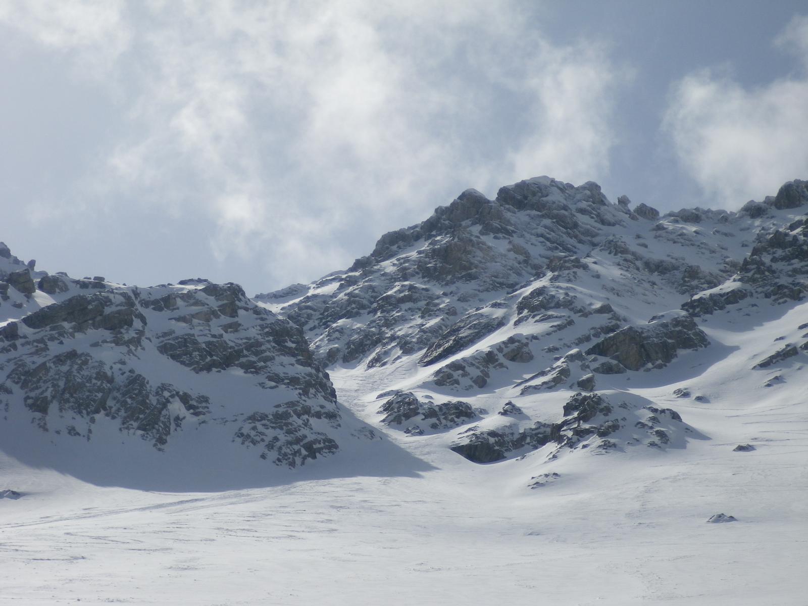
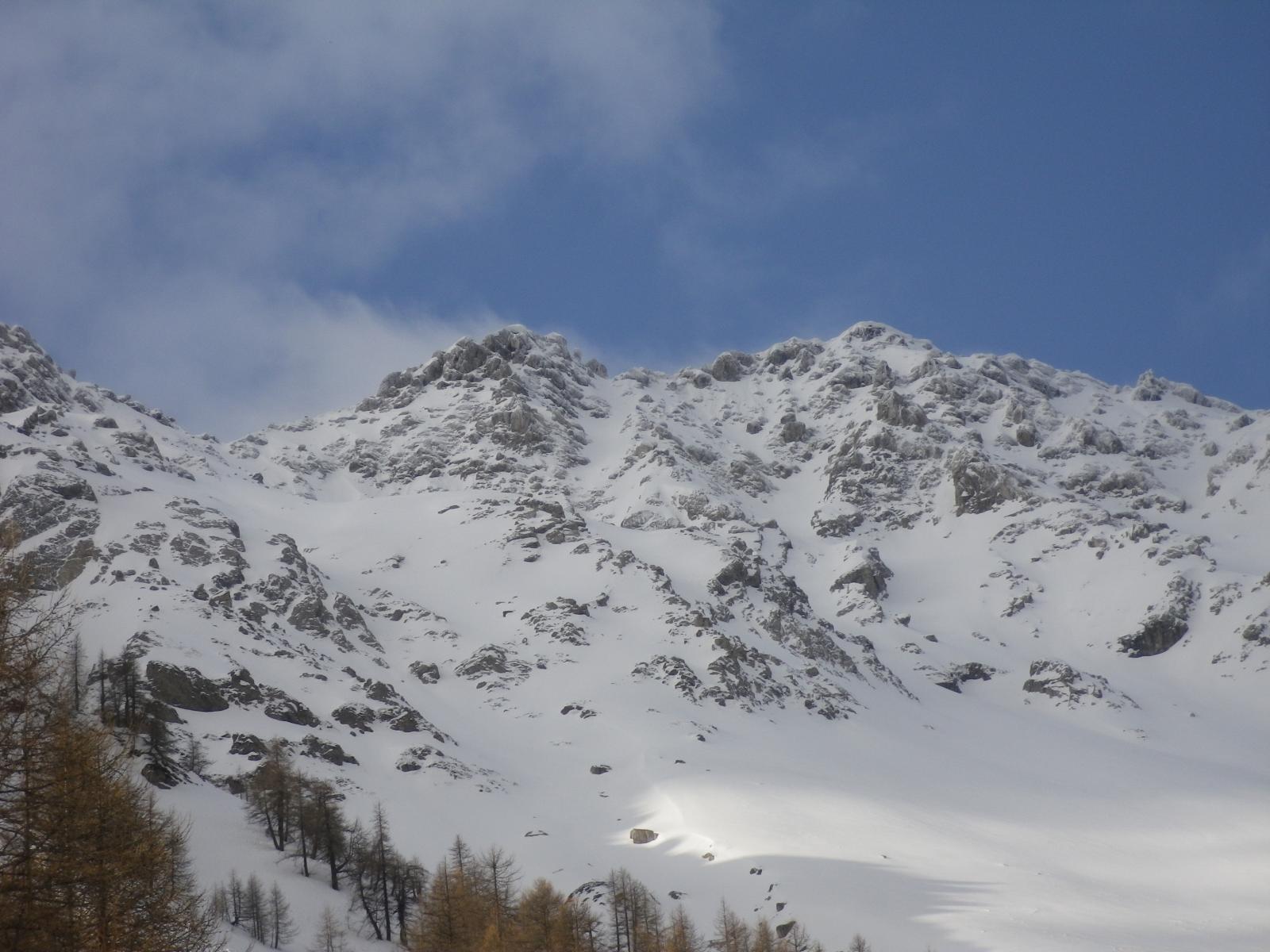
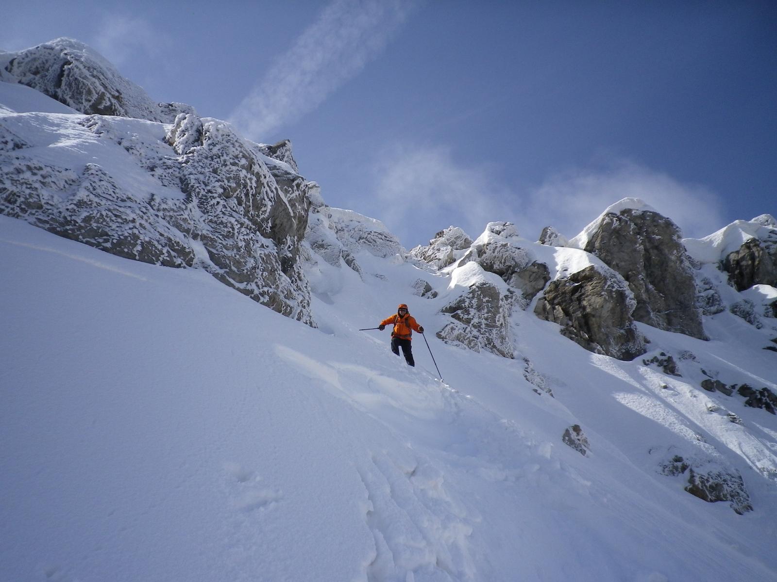
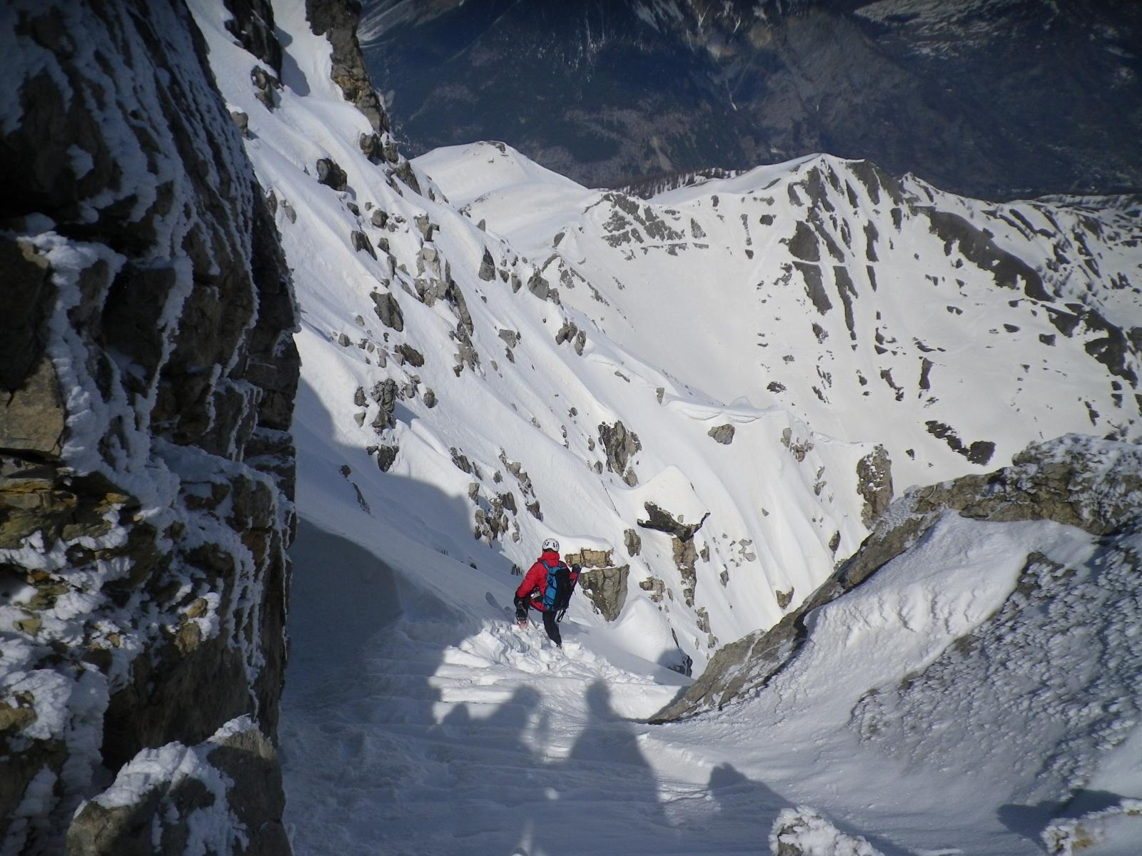
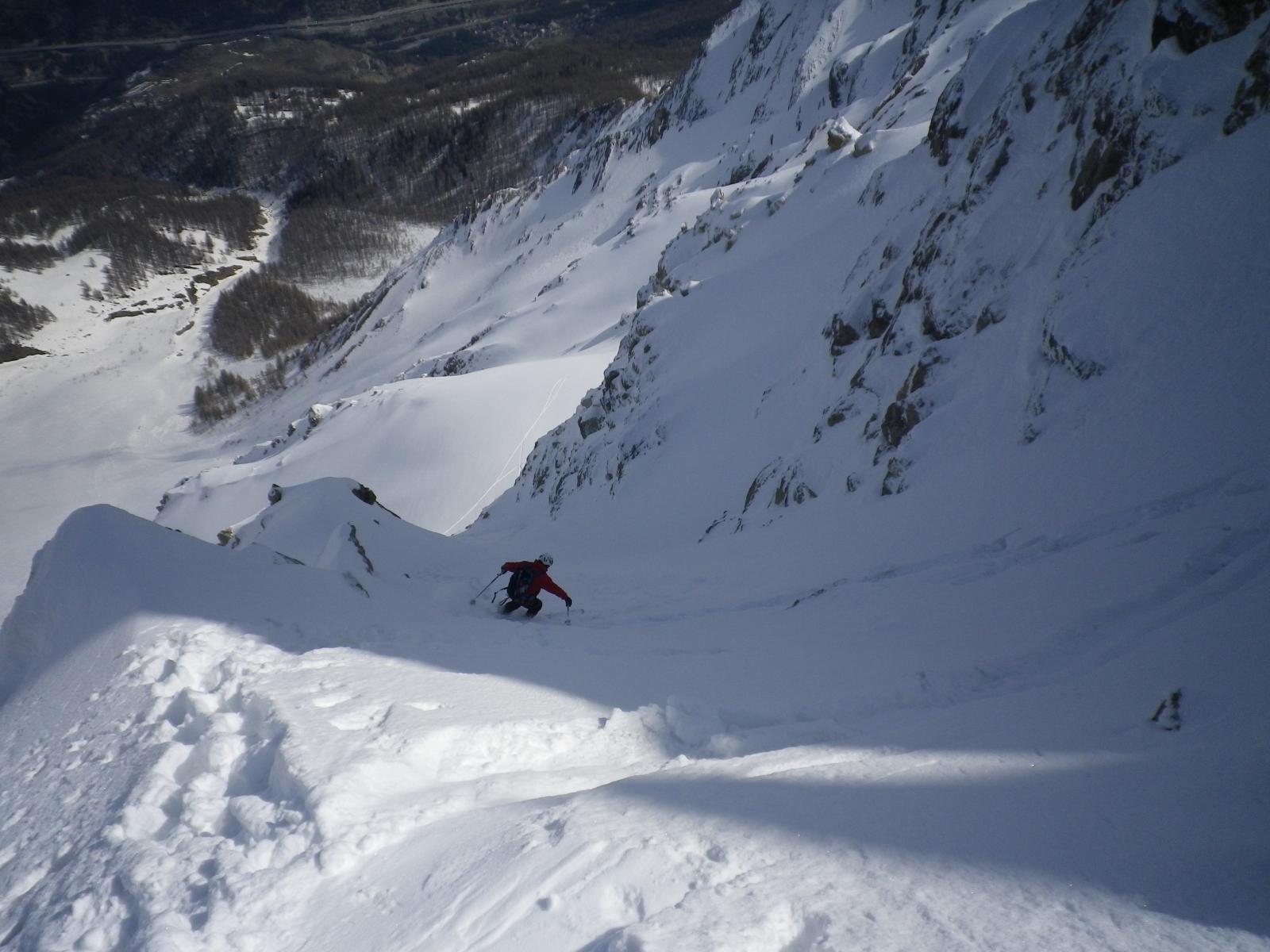
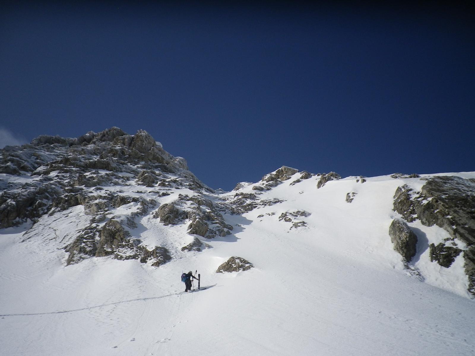
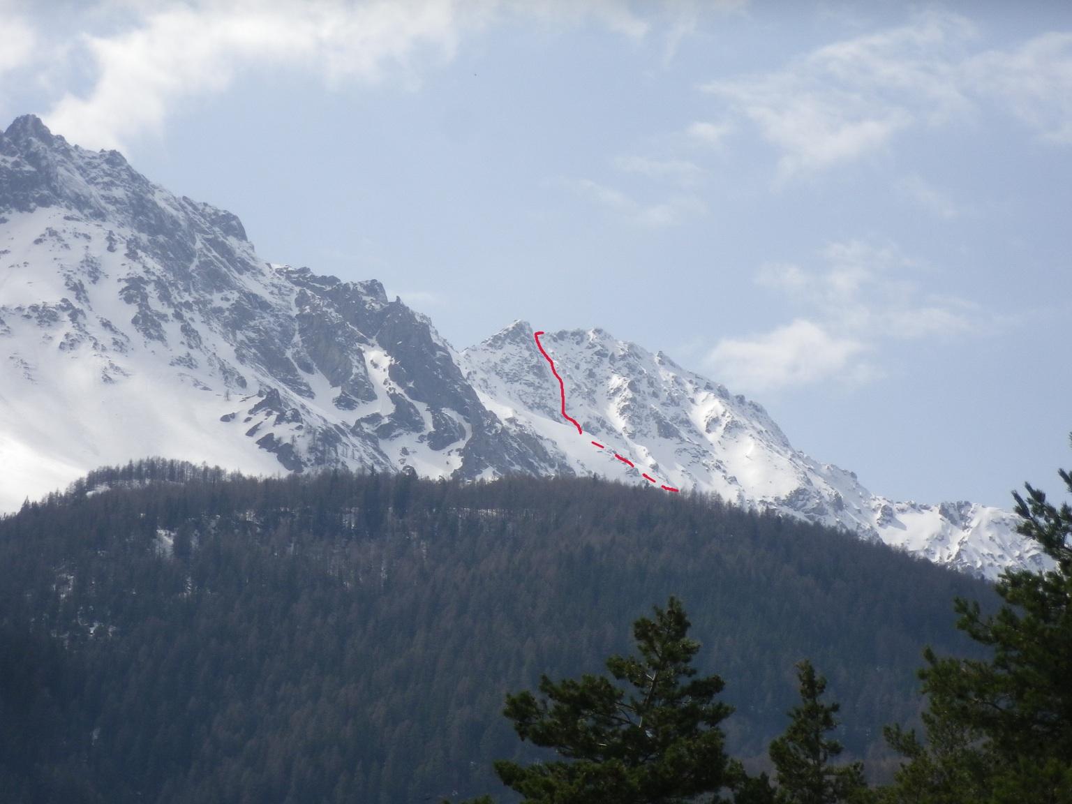
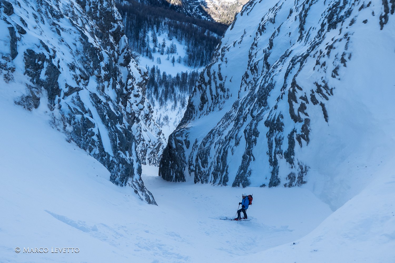
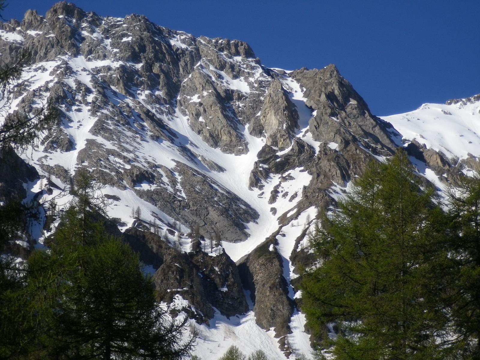
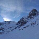
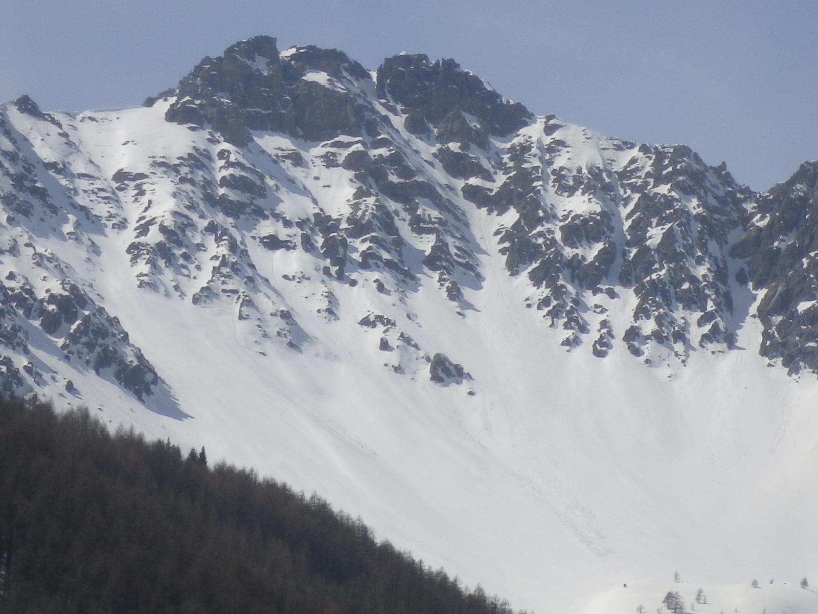
Si tratta di un bell'itinerario che sbuca sulla cresta della Charrà a pochi metri da un' anticima est, appena 15 mtpiù bassa della cima.
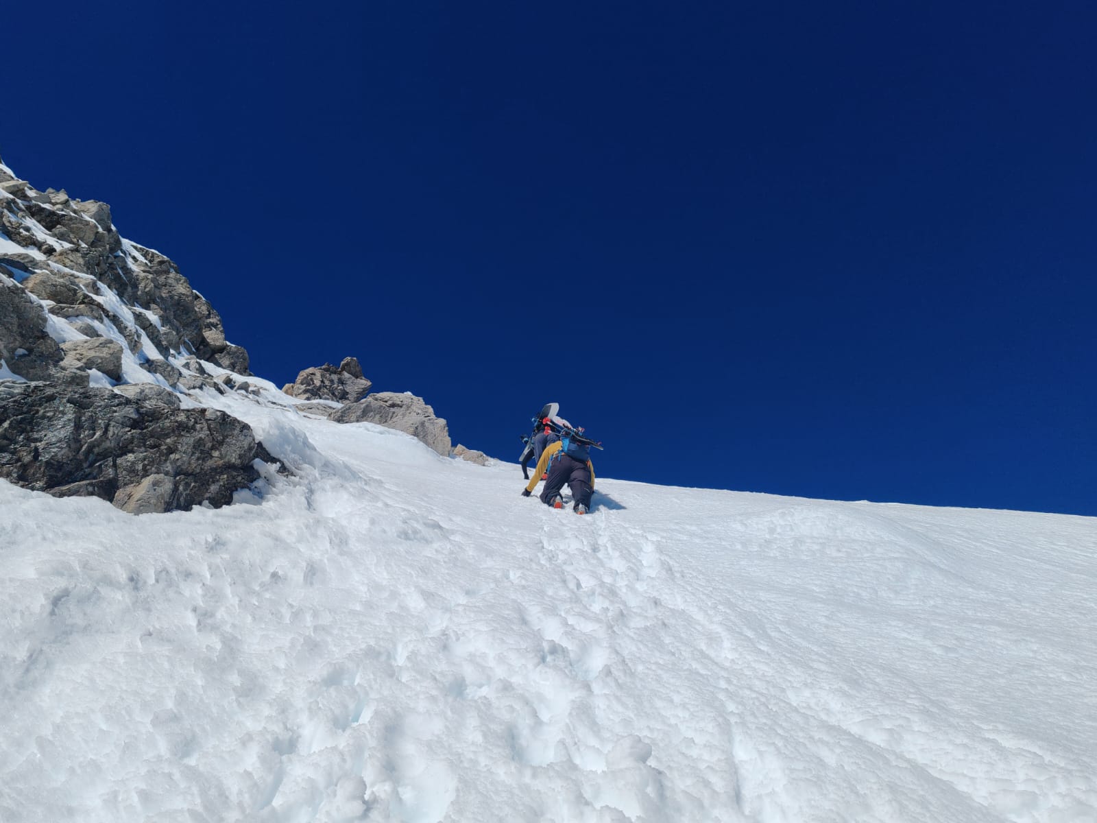
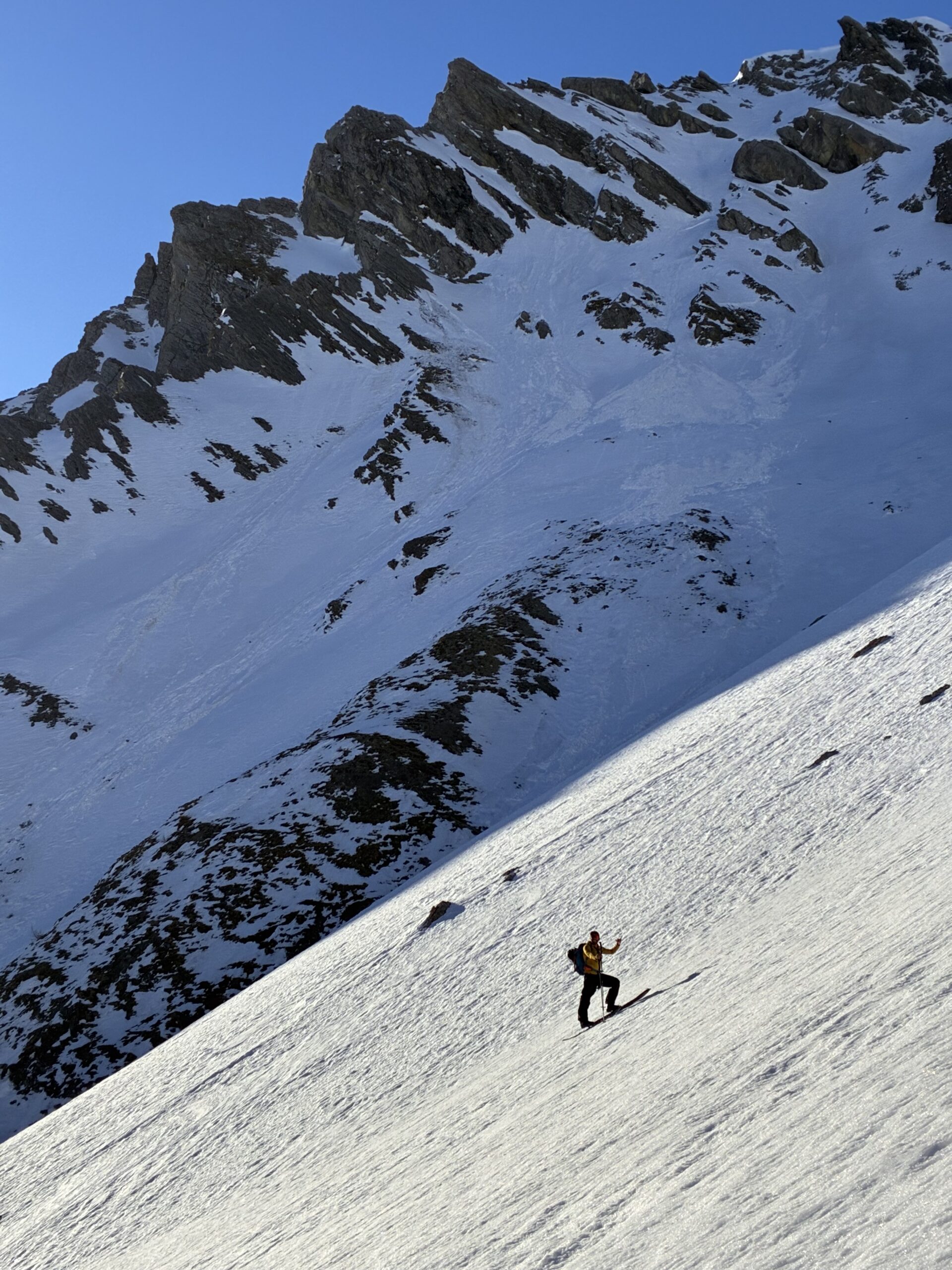
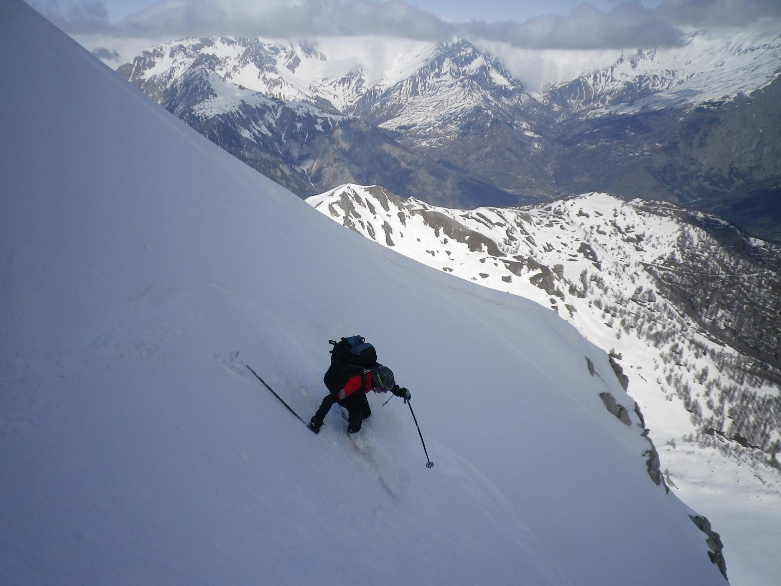
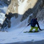
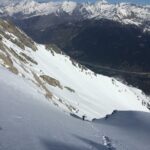
Il canale di ca 400 m complessivi si compone di un primo troncone di 200 m con pendenze sui 40° e di un secondo troncone sui 45/50° continui. Sciata molto estetica e panoramica.
Ben visibile sia dall'autostrada che dall'abitato di Beaulard.
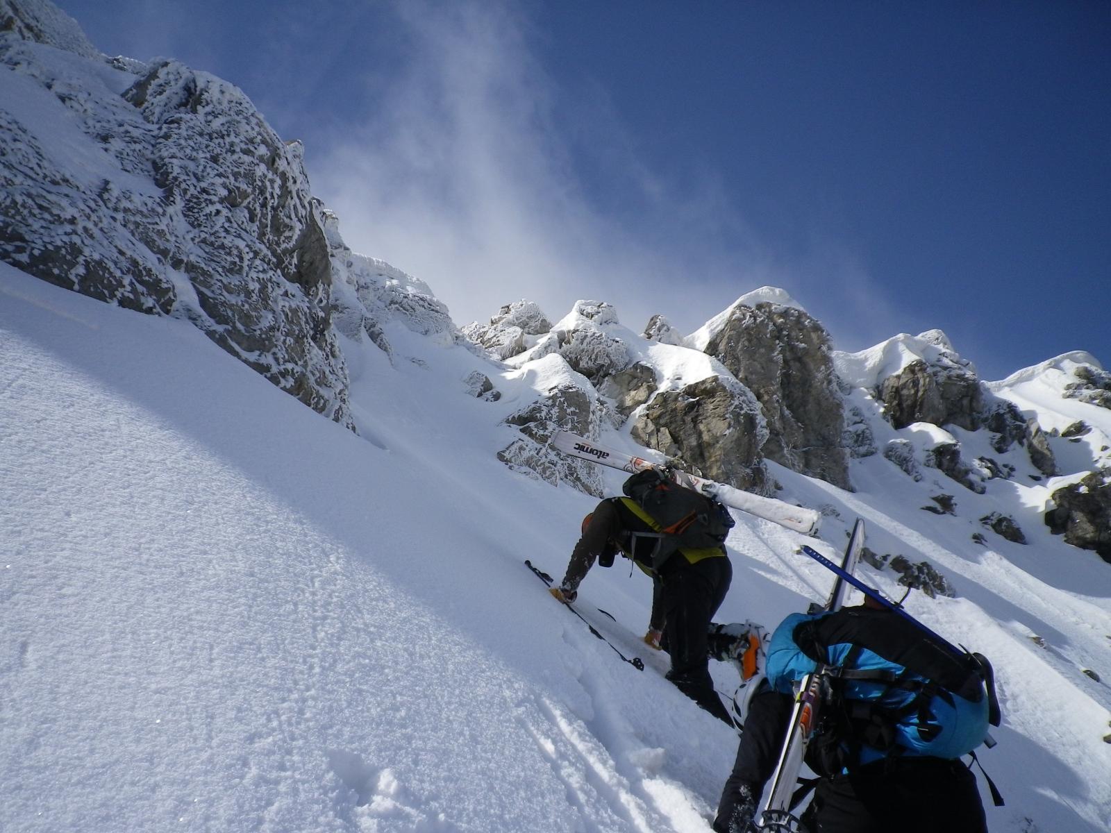
Avvicinamento
Si tratta di un bell'itinerario che sbuca sulla cresta della Charrà a pochi metri da un' anticima est, appena 15 mtpiù bassa della cima.
Il canale di ca 400 m complessivi si compone di un primo troncone di 200 m con pendenze sui 40° e di un secondo troncone sui 45/50° continui. Sciata molto estetica e panoramica.
Ben visibile sia dall'autostrada che dall'abitato di Beaulard.
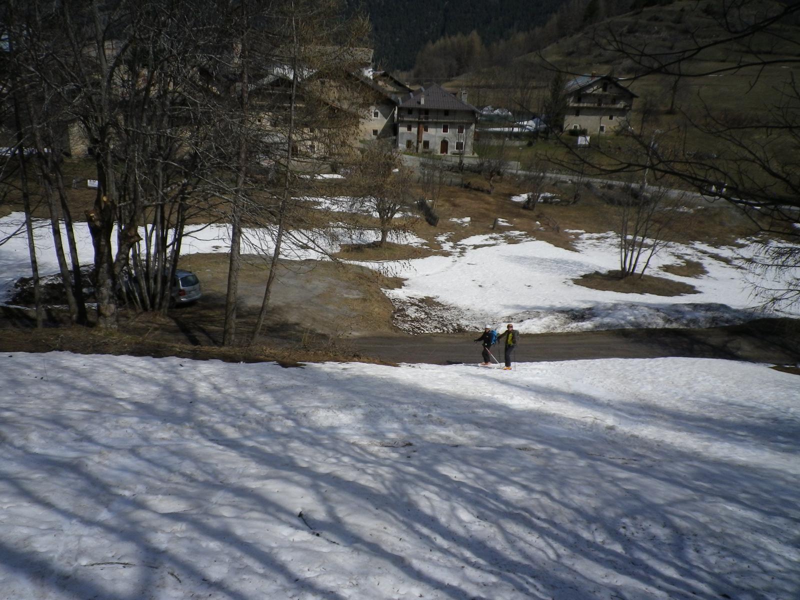
Da Torino a Beaulard, poi strada asfaltata fino a Puys. Parcheggio in abbondanza.
Descrizione
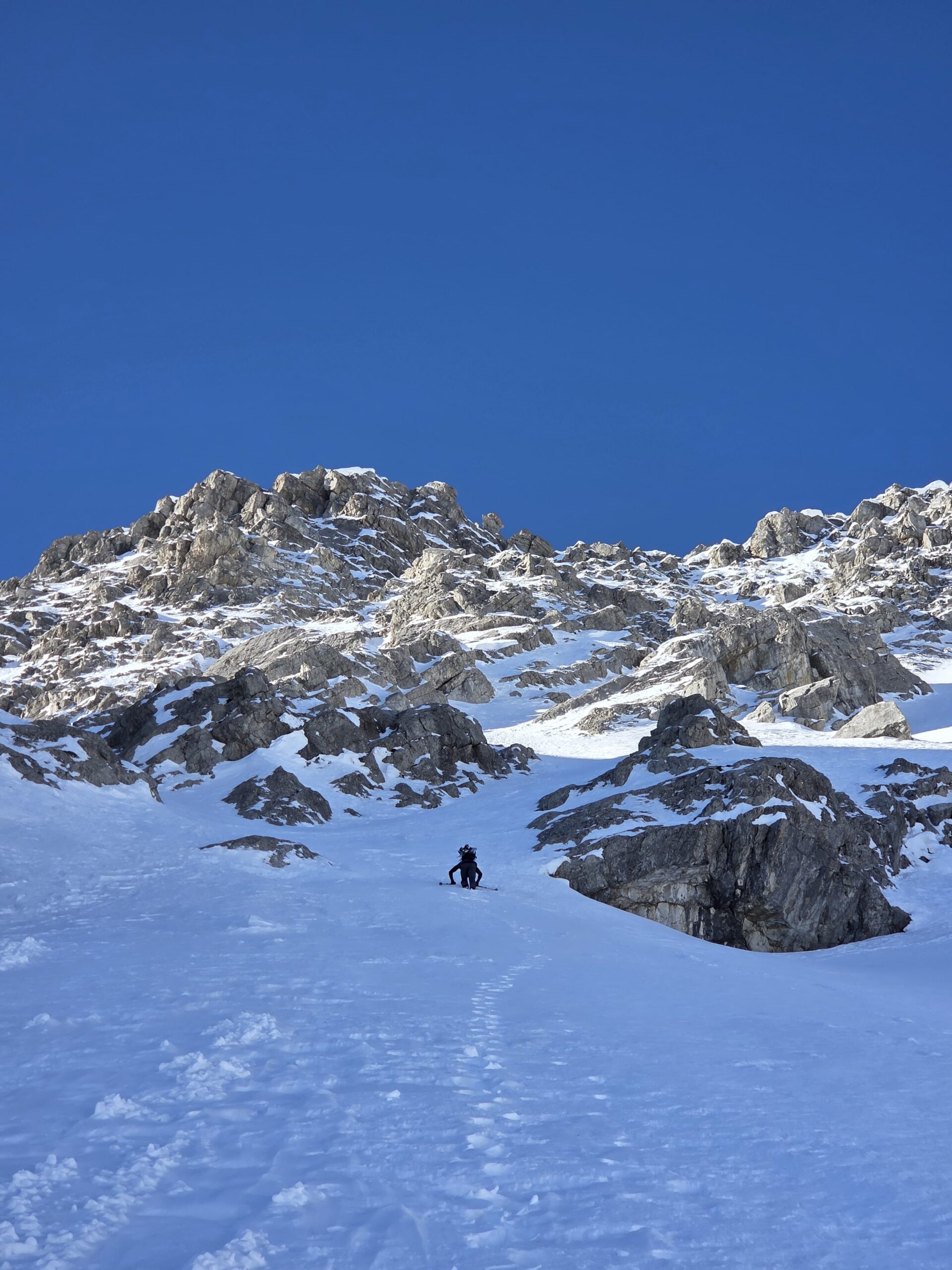
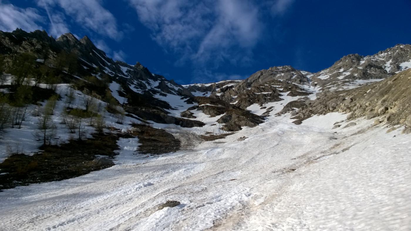
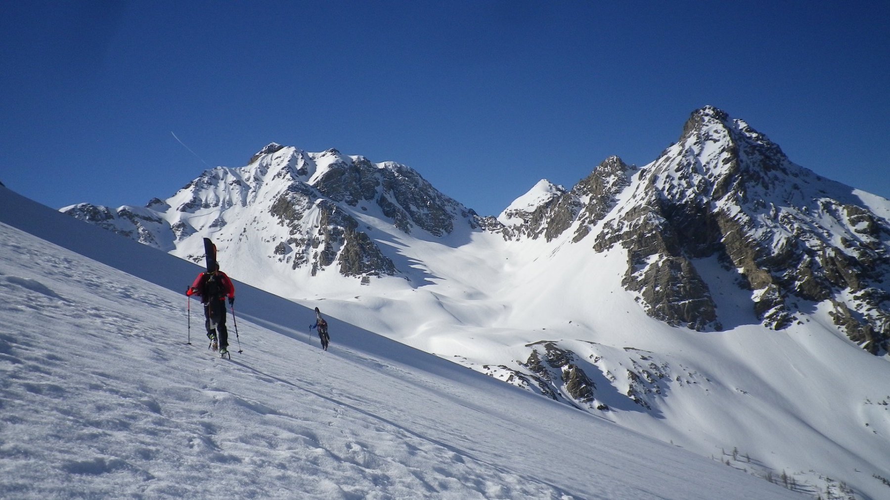
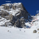
Da Puys seguire l’ampia mulattiera per la Madonna della Sanità, che con andamento verso sud est e poi sud ovest, permette di superare dei salti di roccia. Dalla cappella proseguire veso sud ovest uscendo dal bosco e raggiungendo l’ampio e bellissimo anfiteatro formato dal la cresta Ungherini, Punta Charrà, Passo della Mulattiera.
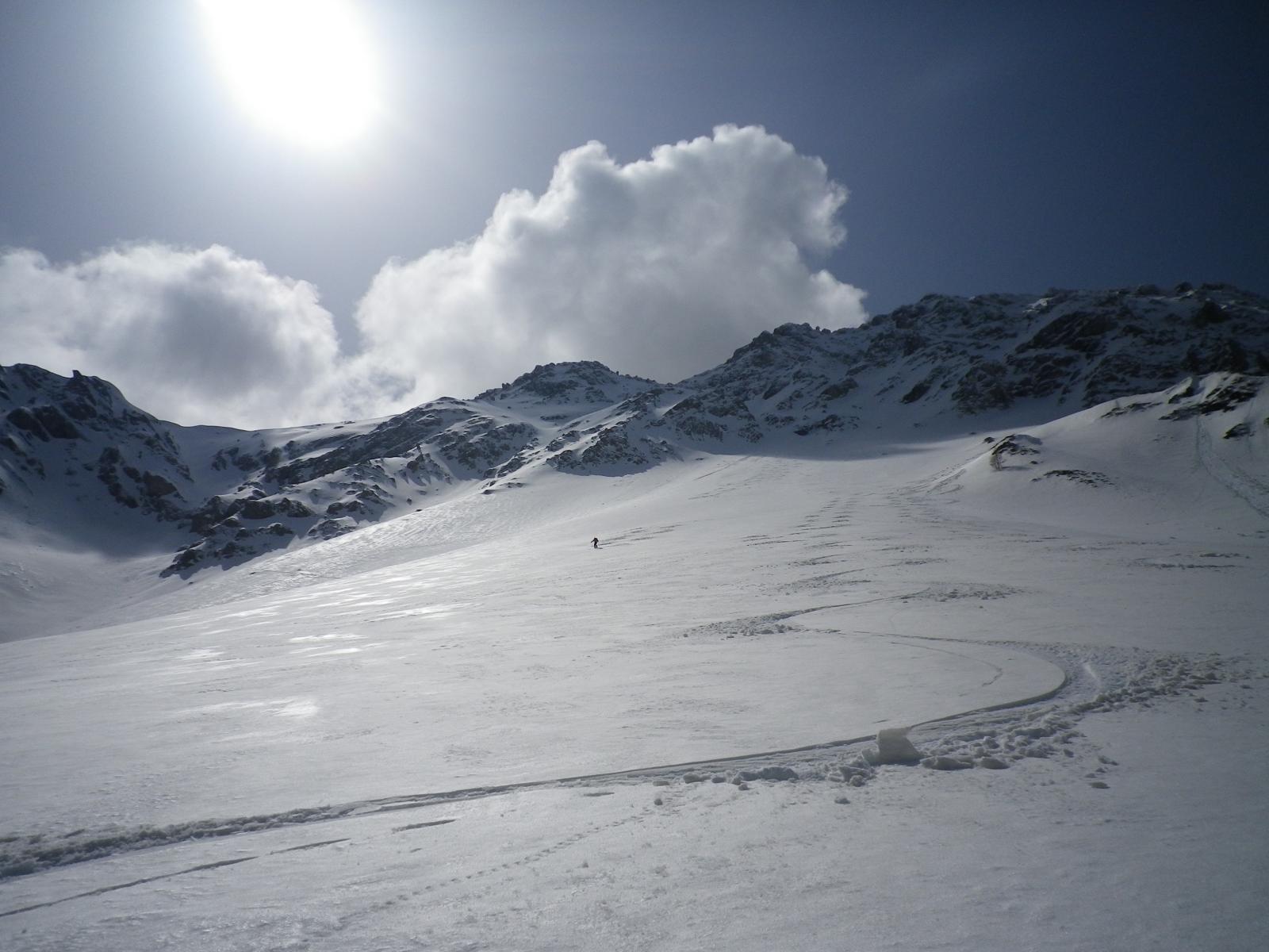
Di qui il canale è ben visibile. Risalire la conoide e reperire il canale tenendosi inizialmente sulla dx (salendo) per poi portarsi al centro. La parte più ripida si trova a circa 2700 mt. (ca 50°) Poi la pendenza cala leggermente prima dell’uscita. Conviene uscire verso dx.
Nelle vicinanze Mappa
Itinerari
30/03/2025 TO, Bardonecchia D+ 1250 m II, 4.2, E2 Nord
Ungherini (Cresta) – Canale Ungherini
 850m
850m
19/05/2015 TO, Oulx D+ 1180 m II, 4.1, E3 Nord-Ovest
Sanità (Passo della) Canale Nord
 850m
850m
14/05/2014 TO, Oulx D+ 1250 m II, 4.3, E3 Nord
Ungherini (Cresta) Canale di Destra
 900m
900m
10/03/2021 TO, Oulx D+ 1834 m III, 4.3, E2 Tutte
Clotesse (Punta) Boucle alla rampa nord
 1.1Km
1.1Km
06/03/2025 TO, Oulx D+ 1504 m II, 4.2, E3 Nord-Est
Clotesse (Punta) Rampe Nord-Est
 3.3Km
3.3Km
17/04/2017 TO, Oulx D+ 2550 m III, 4.3, E3 Varie
Chalanche Ronde (Pointe de) couloir NO, Roche des Pres couloir E e Pointe du Gros Vallon versante Ovest da Chateau Beaulard
 3.3Km
3.3Km
01/03/2012 TO, Oulx D+ 1850 m 4.2, E3 Tutte
Clotesse (Punta) Traversata da Chateau Beaulard per il Passo dell’Orso
 3.4Km
3.4Km
07/03/2026 TO, Oulx D+ 1600 m I, 3.3, E1 Est
Grand’Hoche da Chateau Beaulard per la Canala, la Sella du Gros Vallon e il versante SE
 3.5Km
3.5Km
09/04/2023 TO, Oulx D+ 1400 m II, 4.2, E2 Est
Gros Vallon (Punta) quota 2780 m Canale Est
 3.5Km
3.5Km
06/04/2023 TO, Bardonecchia D+ 1500 m I, 5.1, E3 Nord-Est
Gasparre (Punta) Canale E-NE
 6.5Km
6.5Km
Servizi
1.1Km
1.3Km
Dell’Orsa Bar
Oulx
3.4Km
L’Eitabl Ristorante
Oulx
5.5Km
Escarton Ristorante
Bardonecchia
6Km
Bardosteria Ristorante
Bardonecchia
6Km
Da Silvio Ristorante
Bardonecchia
6.5Km
Degli Artisti Bar
Bardonecchia
7.5Km
L’fouie Ristorante
Bardonecchia
7.5Km
Aquila Nera Ristorante
Bardonecchia
7.5Km