400m
400m

Note
 50m
50m
50m
50m
50m
50m
500m
500m
500m
1.1Km
50m
50m
50m
50m
50m
50m
500m
500m
500m
1.1Km
400m
500m
500m
2Km
2.5Km
3.2Km
3.2Km
3.3Km
3.7Km
5.6Km
Ottima alternativa alla cima dell'Albergian, qualora non sia in condizione l'ultimo tratto dal canale alla cima.
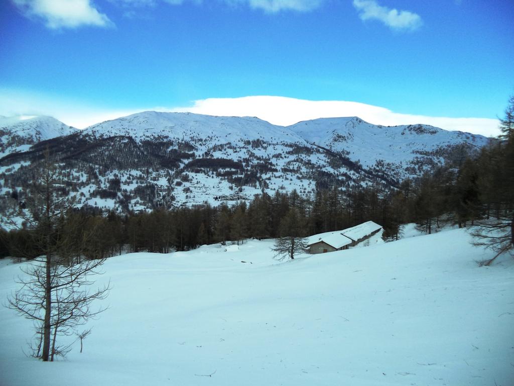
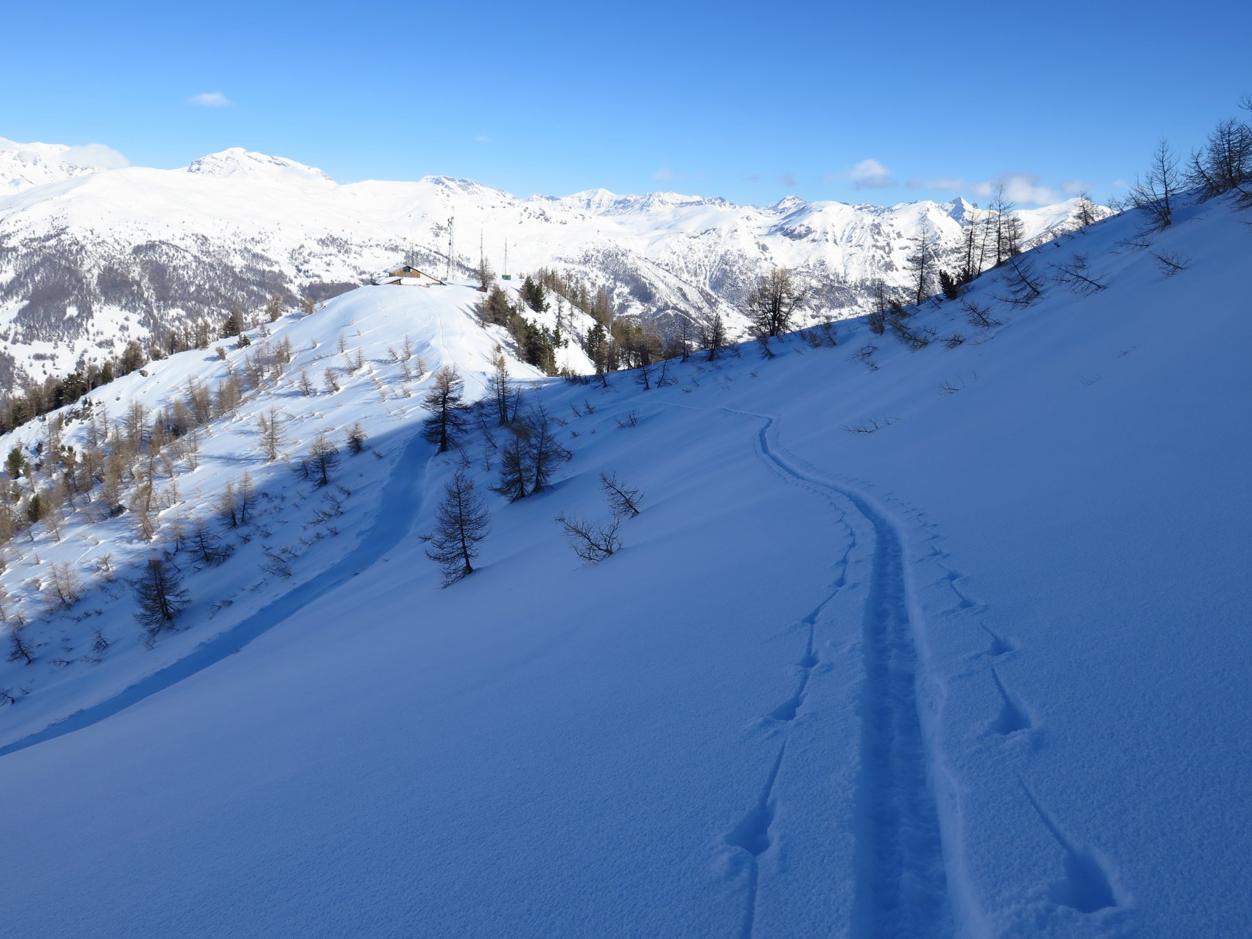
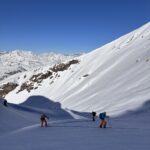
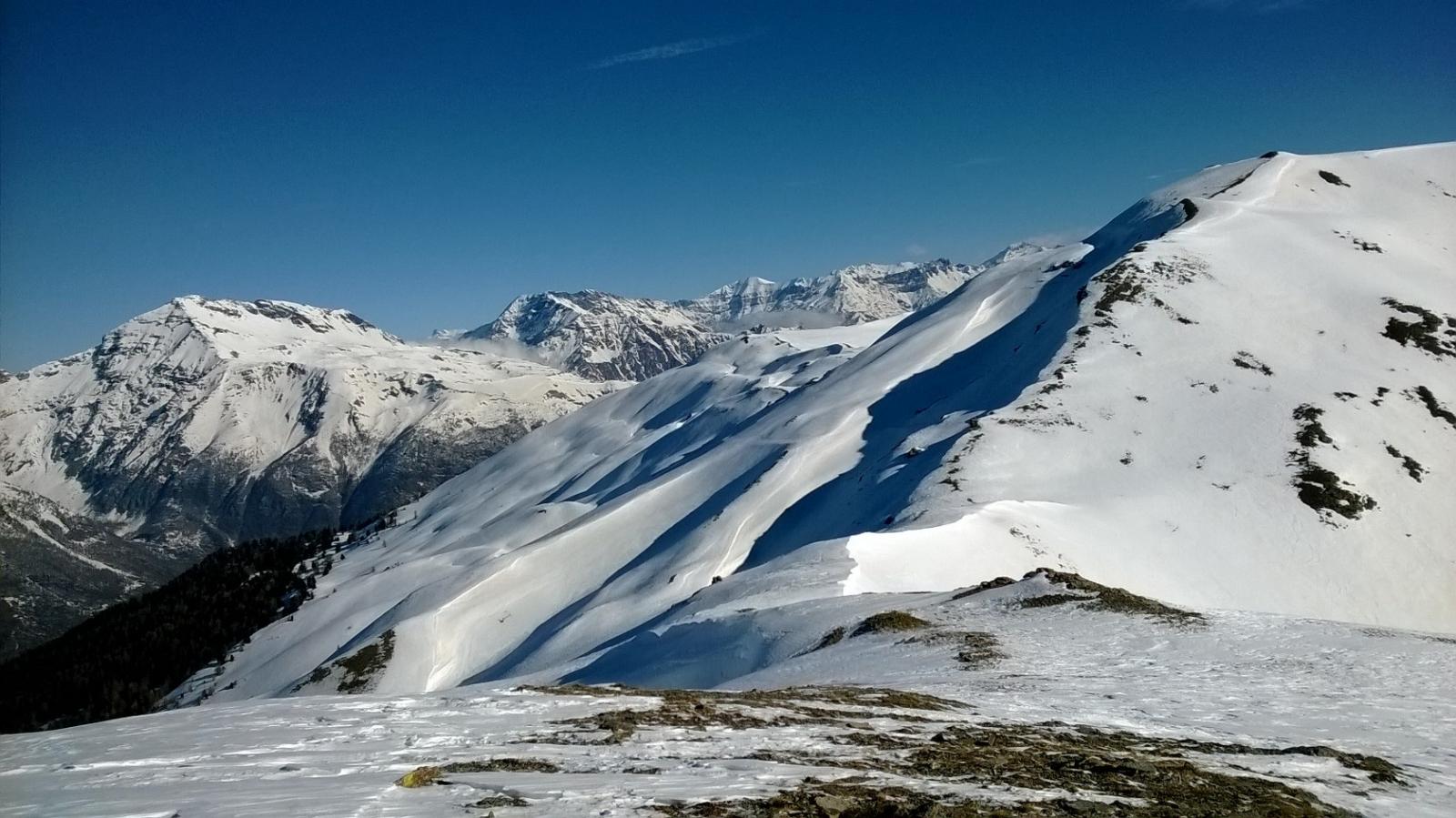
Fino alla bergeria di Prà Damont l'itinerario è privo di pericoli svolgendosi in un bel bosco di larici; dalla bergeria in su bisogna valutare le condizioni dei pendii che si attraversano facendo attenzione ai possibili distacchi dalla cresta dei Tre Truc. Grazie all'esposizione favorevole (prima Nord e poi Nord-Ovest) la neve tende a mantenersi in buone condizioni.
Avvicinamento
Fino alla bergeria di Prà Damont l'itinerario è privo di pericoli svolgendosi in un bel bosco di larici; dalla bergeria in su bisogna valutare le condizioni dei pendii che si attraversano facendo attenzione ai possibili distacchi dalla cresta dei Tre Truc. Grazie all'esposizione favorevole (prima Nord e poi Nord-Ovest) la neve tende a mantenersi in buone condizioni.
-
Descrizione
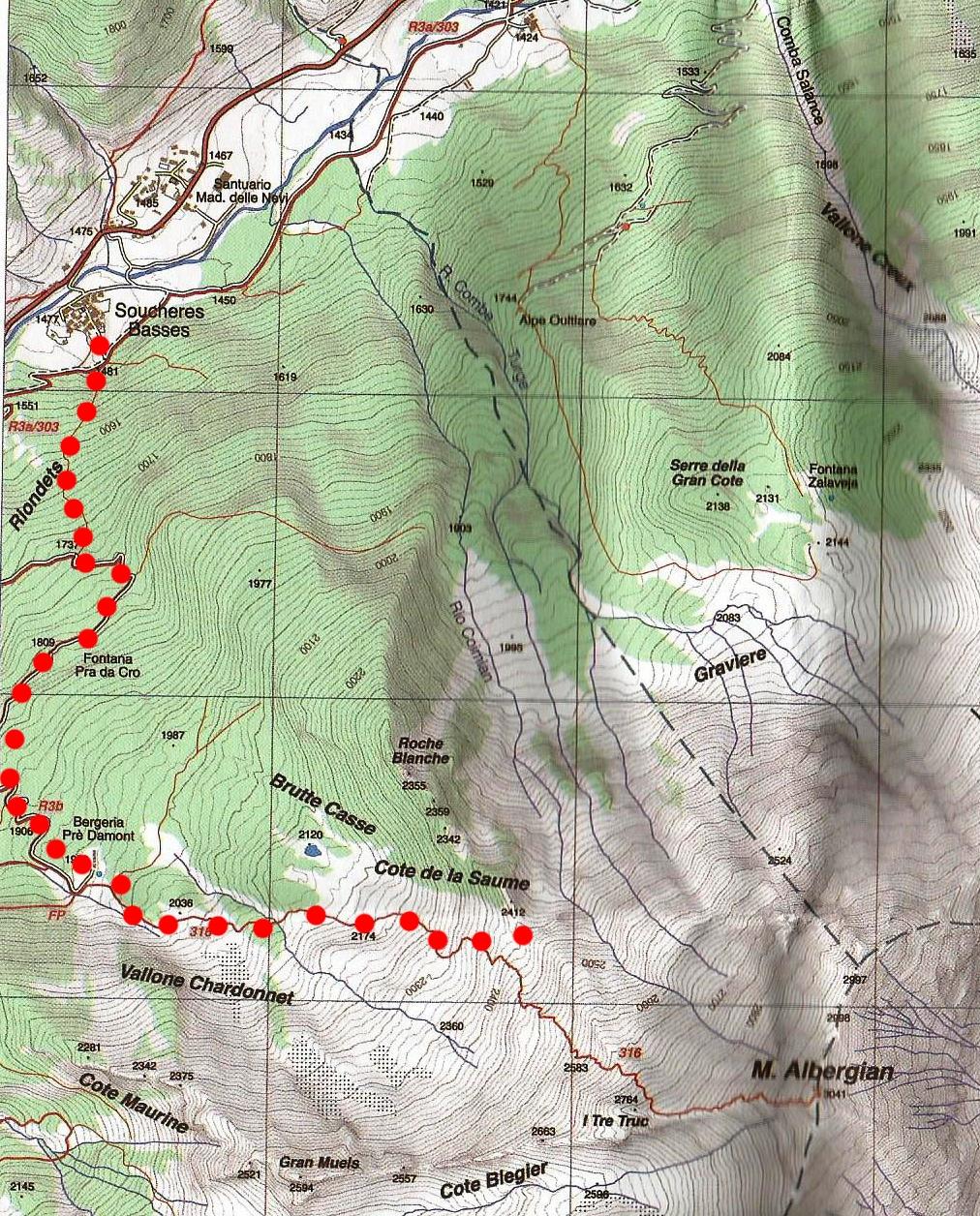
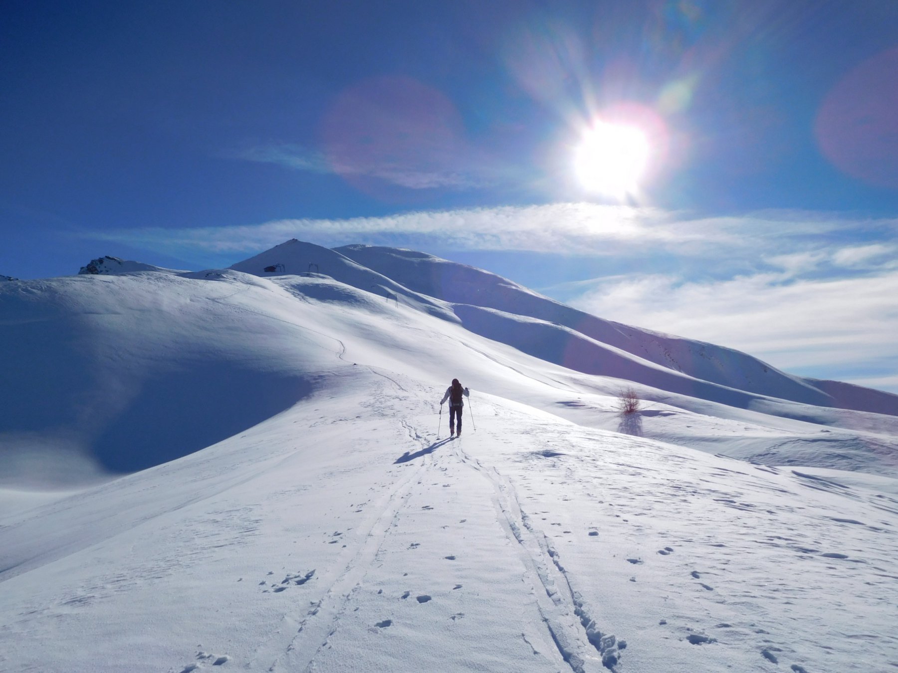
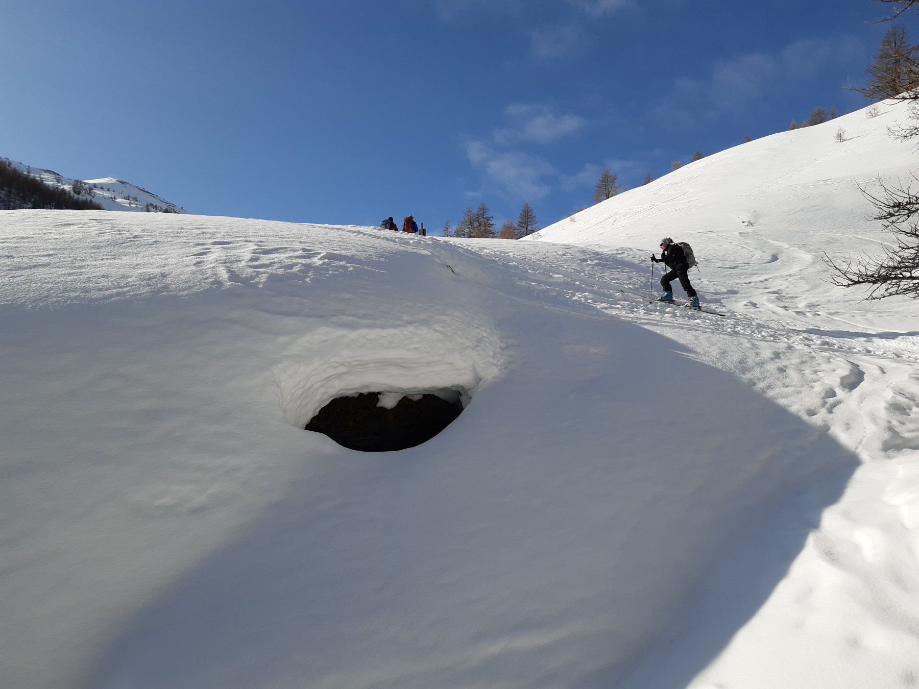
Da Soucheres Basses si sale verso il vallone chardonnet e la bergeria di prà damont (o seguendo il largo sentiero che si raccorda alla sterrata che sale da la Ruà, spesso battuto dalle motoslitte, o prendendo un sentiero che parte 20-30 metri dopo il bivio a quota 1481 e che sale diritto nel bosco fino ad incrociare la sterrata a quota 1737m).
Dalla bergeria proseguire sempre verso la normale all’Albergian fino ad attraversare per tutta la sua lunghezza il vallone del chardonnet (porre attenzione alle condizioni dei pendii sovrastanti) fino ad arrivare sotto alla Cote de la Saume che divide i versanti Nord e Nord-Ovest dell’Albergian.
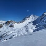
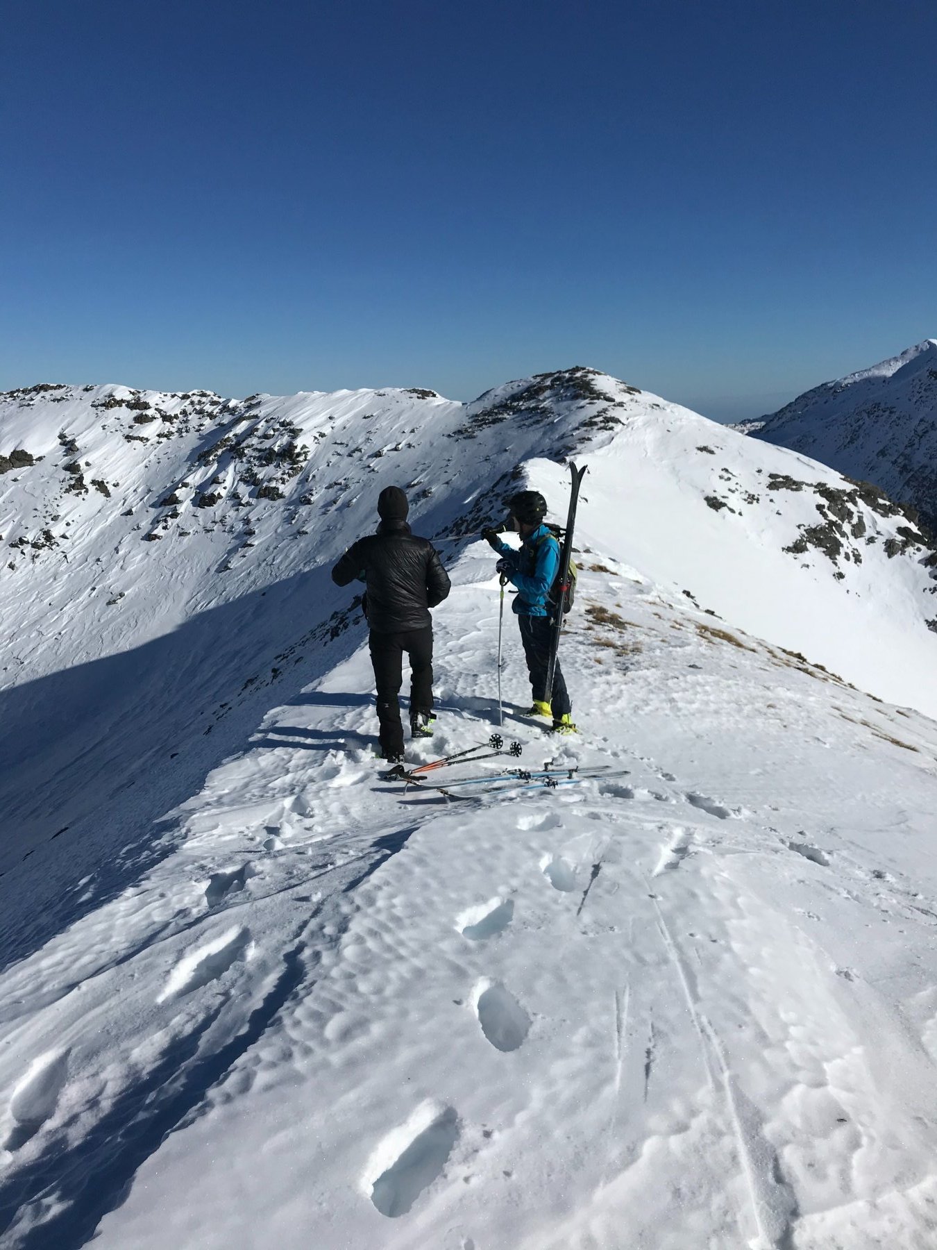
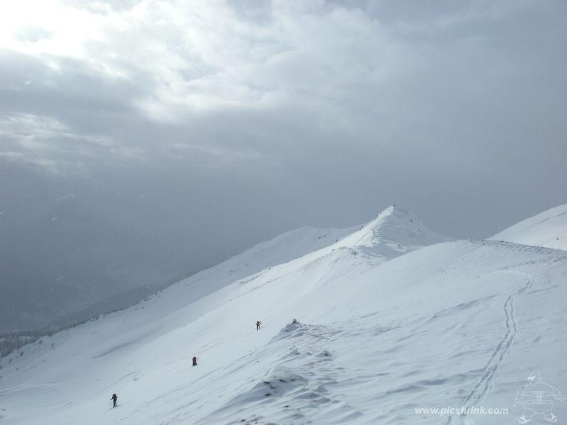
Abbondanato a questo punto l’itinerario per la cima dell’Albergian (quello che in estate è il sentiero 316, che tenendosi sotto la cresta risale il canale fino sotto i Tre Truc) risalire il pendio che porta ad un colletto, da dove con un traverso verso sinistra di 20-30m si arriva sotto il roccione che costituisce la quota 2412m della Cote de la Saume.
Discesa: per l’itinerario di salita.
- Cartografia:
- Carta Fraternali Alta val Chisone
Nelle vicinanze Mappa
Itinerari
28/01/2023 TO, Pragelato D+ 1250 m MS Nord-Ovest
Morefreddo (Monte) da Pragelato per il Clot de la Soma e discesa su Seytes
 50m
50m
21/03/2026 TO, Pragelato D+ 1175 m BS Ovest
Vallonetto (Punta) da Pragelato, giro del Vallone Mendia
 50m
50m
02/01/2026 TO, Pragelato D+ 1455 m BS Nord-Ovest
Gran Miuls (Monte) da Pragelato
 50m
50m
16/03/2026 TO, Pragelato D+ 1065 m BS Nord-Ovest
Ciapel (Punta) da Pragelato
 50m
50m
05/01/2020 TO, Pragelato D+ 1600 m BS Nord
Gran Miuls (Monte) da Pragelato, anello Colle del Pis – vallone del Gran Muels
 50m
50m
04/04/2024 TO, Pragelato D+ 1250 m MS Nord
Morefreddo (Monte) da Pragelato per il Clot della Soma e il versante nord
 50m
50m
08/04/2026 TO, Pragelato D+ 1094 m MS Varie
Gran Costa (Monte) da Pragelato
 500m
500m
12/03/2026 TO, Pragelato D+ 975 m MS Varie
Genevris (Monte) da Pragelato
 500m
500m
08/03/2026 TO, Pragelato D+ 1074 m MS Sud
Blegier (Monte) da Pragelato
 500m
500m
15/02/2026 TO, Pragelato D+ 932 m MS Sud-Est
Moncrons (Punta di) da Granges
 1.1Km
1.1Km
Servizi
400m
500m
Casa Alpina Rifugio
Pragelato
500m
Passet Ristorante
Pragelato
2Km
L’itialette Ristorante
Pragelato
2.5Km
Refugium – ex. Rif. Belotte Rifugio
Pragelato
3.2Km
La capanna del sole Ristorante
Pragelato
3.2Km
Al Mulino Ristorante
Pragelato
3.3Km
1898 Ristorante
Soucheres-basses
3.7Km
Mulino di Laval Rifugio
Pragelato
5.6Km