 3.4Km
3.4Km
Note
 4.6Km
4.7Km
4.7Km
5Km
9.8Km
12.9Km
4.6Km
4.7Km
4.7Km
5Km
9.8Km
12.9Km
Stupendo tour della Val Veny , sentieri battuti e meno, sempre però ben segnalati.
Gps km 34.6 D+ mt 2000 circa
Avvicinamento
Gps km 34.6 D+ mt 2000 circa
Da Courmayeur seguire per la Val Veny, e 500 m dopo Notre Dame de la Guerison prendere a sinistra la strada che raggiunge il Cai -UGET Monte Bianco
Descrizione
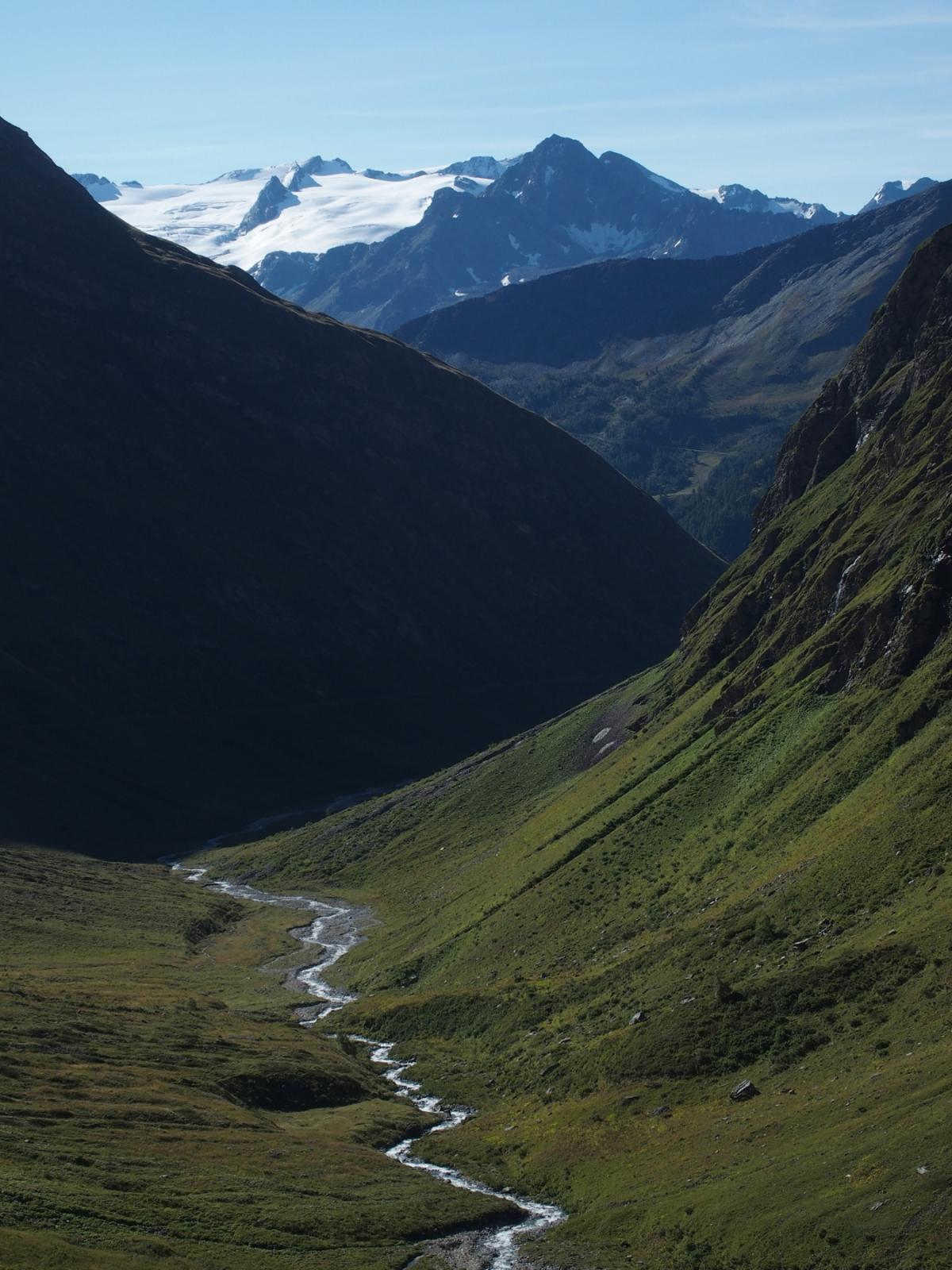
Dal rifugio seguire le indicazioni e salire a Maison Vieille – Col Checrouit , ivi giunti svoltare a destra in direzione lago Checrouit, Arp Vieille, lago Combal.
Raggiunto il fondovallo presso il lago del Combal proseguire verso il rifugio Elisabetta per la strada sterrata di fondo valle.
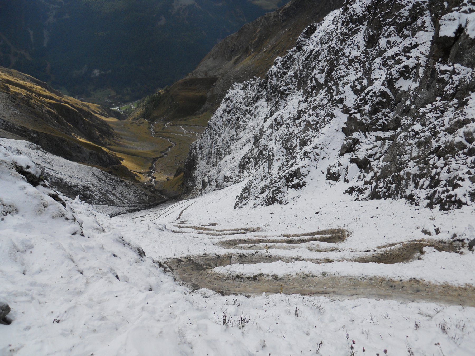
Al rifugio prendere il sentiero poco frequentato per il col des Pyramides, ben segnalato ma poco battuto.
Giunti al colle scendere sul versante opposto, a quota mt 2350 circa abbandonare il sentiero in direzione dell tracciato del TMB verso il Col de la Seigne.
Raggiuntolo per tracce poco percorse ma ben visibili raggiungere il Colle di Chavannes.
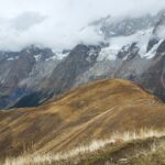
Dal qui si passa ul versante verso la Thuile e si segue il sentiero verso il Mont Fortin che, con balconata panoramica sul Monte Bianco attraversa una serie di bacini lacustri giocando col filo di cresta.
Proseguire fino al col de Youla, da cui si discende in Val Veny con un ripidissimo sentiero che va ad incrociare nelle prossimità dell’Arp Vielle il sentiero che si é fatto all’ andata, col quale si ritorna al punto di partenza .
Nelle vicinanze Mappa
Itinerari
28/06/2020 AO, Courmayeur D+ 2350 m Varie
Crammont (Mont) da Dolonne, giro
3.9Km
29/08/2014 AO, Courmayeur D+ 6100 m Varie
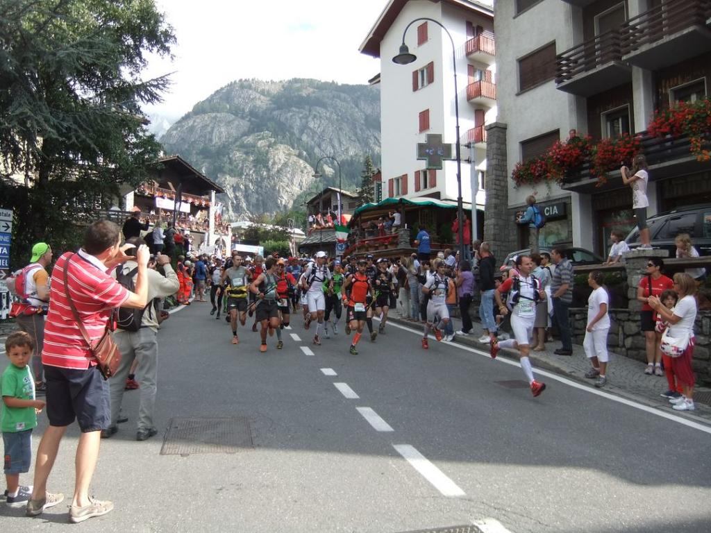
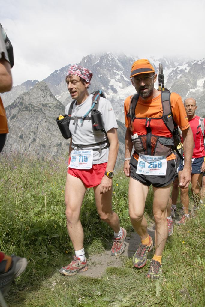
Ultra Trail Mont Blanc UTMB – CCC (Courmayeur Champex Chamonix)
 4.6Km
4.6Km
01/09/2020 AO, Courmayeur D+ 24000 m Tutte
Tor des Geants
 4.7Km
4.7Km
11/10/2025 AO, Courmayeur D+ 1400 m Nord
Tronche (Testa della) Arrancabirra di Courmayeur
 4.7Km
4.7Km
12/09/2025 AO, Courmayeur D+ 32000 m Tutte
Tor Des Glaciers
4.8Km
10/07/2010 AO, Courmayeur D+ 5100 m Tutte
GTV Gran Trail Valdigne
 5Km
5Km
17/01/2009 AO, Courmayeur D+ 180 m Varie
Lavachey Winter Eco Trail da Planpincieux
6.3Km
05/07/2015 AO, La Thuile D+ 800 m Sud
Chavannes (Col de) da Porassey per il Vallon de Chavannes
 9.8Km
9.8Km
20/08/2014 AO, La Thuile D+ 1200 m Nord
Deffeyes Albert (Rifugio) da la Thuile
10.2Km
15/07/2012 AO, Morgex D+ 5600 m Varie
Gran Trail Valdigne 20 – 50 – 100 Km
 12.9Km