 3Km
3Km
Note
 0m
0m
8.2Km
8.2Km
9.9Km
0m
0m
8.2Km
8.2Km
9.9Km
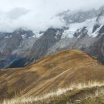
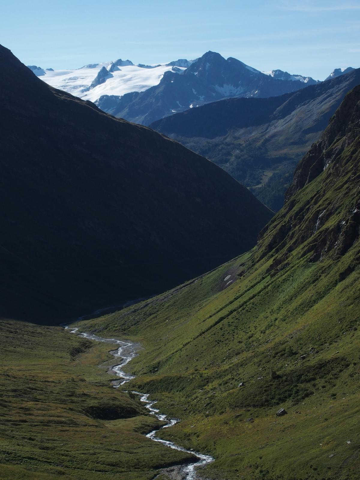
Il GTV si snoda con un percorso splendido di 87 Km. nel comprensorio del Monte Bianco. Si superano 4 colli oltre q. 2300 m.
con un dislivello positivo di 5100 m.
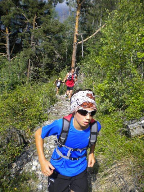
Avvicinamento
con un dislivello positivo di 5100 m.
.
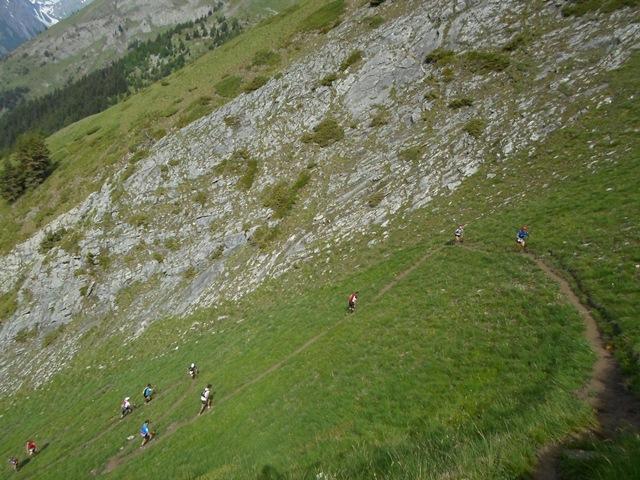
Descrizione
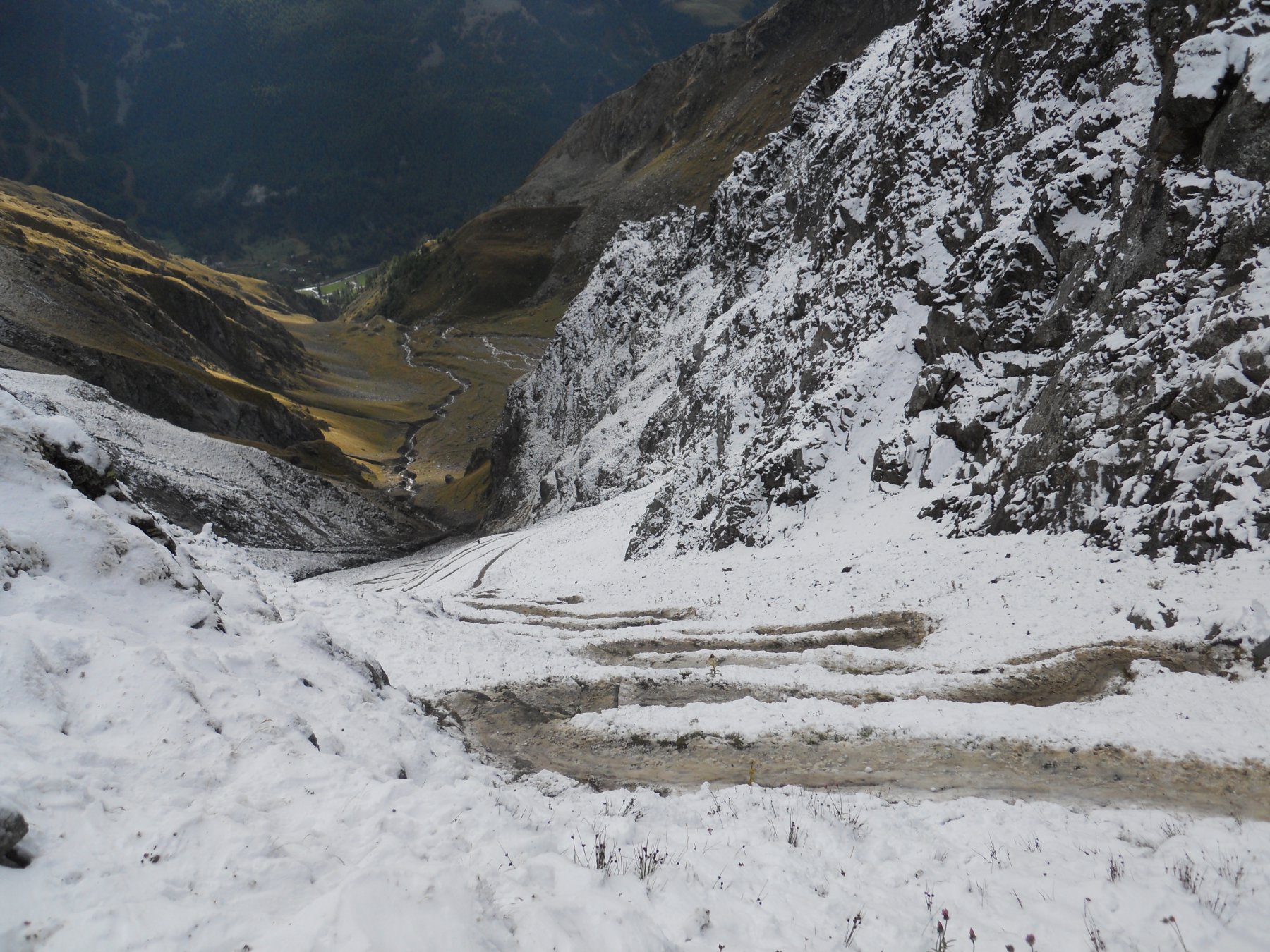
Partenza da Courmayeur e prima salita al Colle Licony 1446 m. D+
Discesa su Planaval > Punta Fetita 873 m. D+ > Col de Bard e discesa su La Salle > Morgex > Pre-Saint-Didier > Arpy 731 m. D+
> Colle Croce 711 m. D+ e discesa su La Thuile > quindi l’ultima salita al Col dell’Arp 1130 m. D+ > ora 10 Km. di discesa su Dolonne
Nelle vicinanze Mappa
Itinerari
11/10/2025 AO, Courmayeur D+ 1400 m Nord
Tronche (Testa della) Arrancabirra di Courmayeur
 0m
0m
12/09/2025 AO, Courmayeur D+ 10000 m Tutte
Tor Des Glaciers
0m
01/09/2020 AO, Courmayeur D+ 10000 m Tutte
Tor des Geants
 0m
0m
28/06/2020 AO, Courmayeur D+ 2350 m Varie
Crammont (Mont) da Dolonne, giro
750m
17/01/2009 AO, Courmayeur D+ 180 m Varie
Lavachey Winter Eco Trail da Planpincieux
4.8Km
29/08/2013 AO, Courmayeur D+ 2000 m Varie
Fortin (Mont) giro della Val Veny per i colli Checrouit, Pyramides Calcaires, Seigne, Chavannes, Youla
5.4Km
15/07/2012 AO, Morgex D+ 5600 m Varie
Gran Trail Valdigne 20 – 50 – 100 Km
 8.2Km
8.2Km
07/06/2025 AO, Morgex D+ 3200 m Tutte
Licony trail
 8.2Km
8.2Km
20/08/2014 AO, La Thuile D+ 1200 m Nord
Deffeyes Albert (Rifugio) da la Thuile
9.5Km
05/07/2015 AO, La Thuile D+ 800 m Sud
Chavannes (Col de) da Porassey per il Vallon de Chavannes
 9.9Km
9.9Km