
Note
 100m
150m
150m
200m
250m
250m
100m
150m
150m
200m
250m
250m
Il primo tiro in comune con Les Rois Fainéants e il secondo tiro dopo il primo risalto piega a sinistra e si separa da Les Rois
Avvicinamento
Come per la tete d'Aval (pilier rouge), ma un centinaio di metri sotto la parete principale prendere un sentiero in piano verso Ovest (a sx salendo, ometti). Seguire il sentiero che conduce alla base della basionata rocciosa. La via parte dopo (percorrendo il sentiero) un grosso albero biforcuto che si trova in corrispondenza di una fessura a zig-zag.
Descrizione
- L1 – 5c in comune con Les Rois Fainéants
- L2 – 5c muro fisico in partenza
- L3 – 5c breve muro tecnico (passo eventualmente in A0)
- L4 – 5c belle placche pulite intervallate da brevi risalti
- L5 – 5c belle placche pulite intervallate da brevi risalti
- L6 – 5c belle placche pulite intervallate da brevi risalti
- L7 – 5b placca sporca poco interessante
Discesa: quattro doppie da 50m sulla linea di Le droit à la paresse
- Cartografia:
- IGN 1:25.000
- Bibliografia:
- Oisans Nouveau Oisans Sauvage - JM Cambon
Nelle vicinanze Mappa
Itinerari
22/08/2008 Hautes-Alpes, Les Vigneaux 6b, 6a obbl. Sud-Ovest
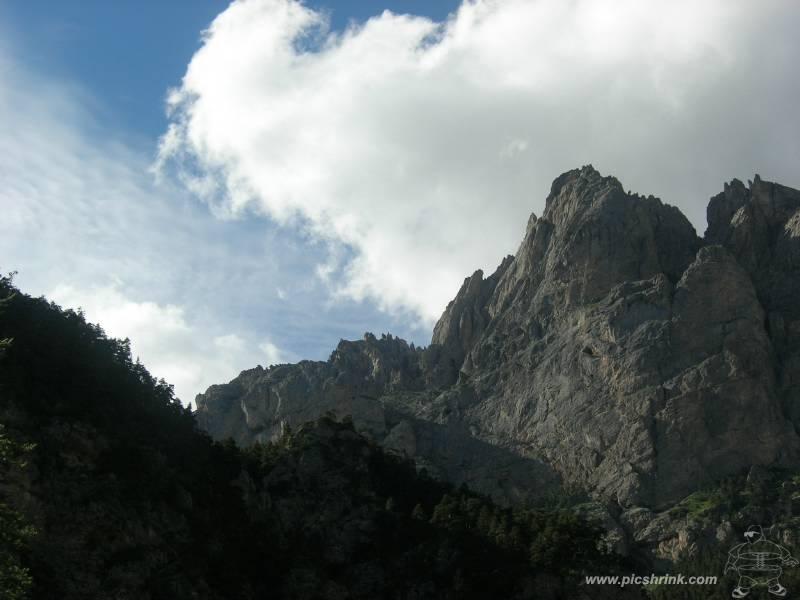
Aval (Tète d’), contrafforti sud – Salut, ca Gaze?
 100m
100m
08/08/2023 Hautes-Alpes, Les Vigneaux 6a, 5c obbl. Sud-Est
Aval (Tète d’) – Ballet Rosse
 150m
150m
15/07/2024 Hautes-Alpes, Les Vigneaux 6b, 6a obbl. Sud
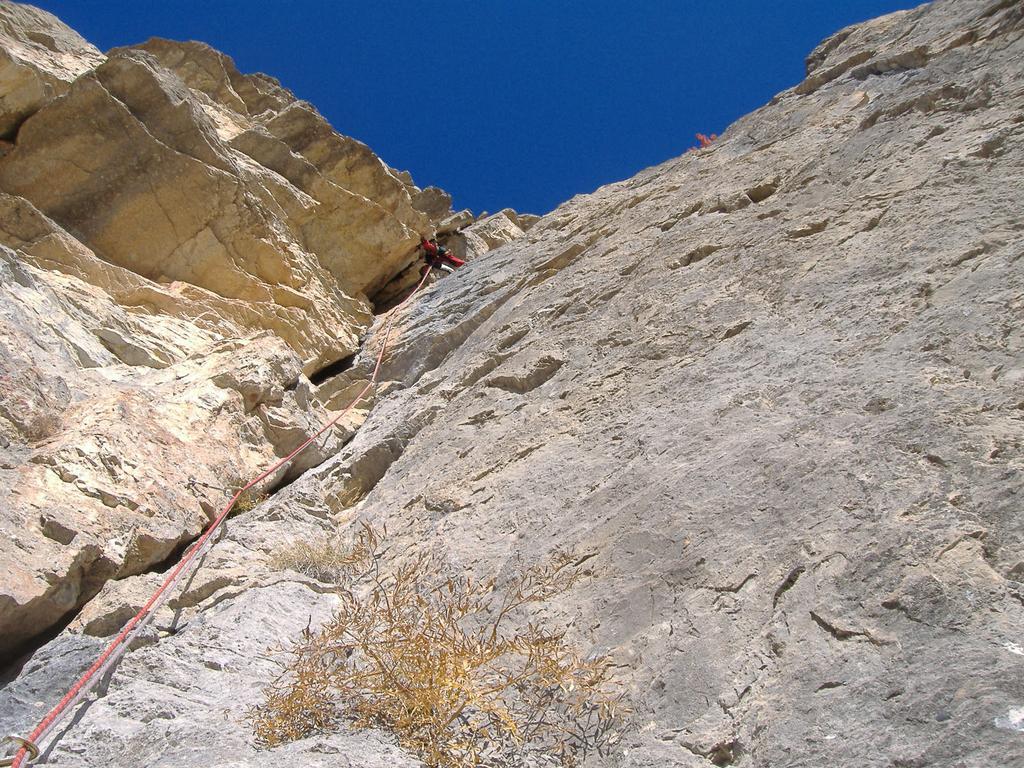
Aval (Tète d’), Pilier Rouge – Hebdo
 150m
150m
17/10/2019 Hautes-Alpes, Les Vigneaux 6c, 6a obbl. Sud
Aval (Tète d’), contrafforti sud – Le Droit à la Paresse
200m
02/06/2013 Hautes-Alpes, Les Vigneaux 6c, 6b obbl. Sud-Est
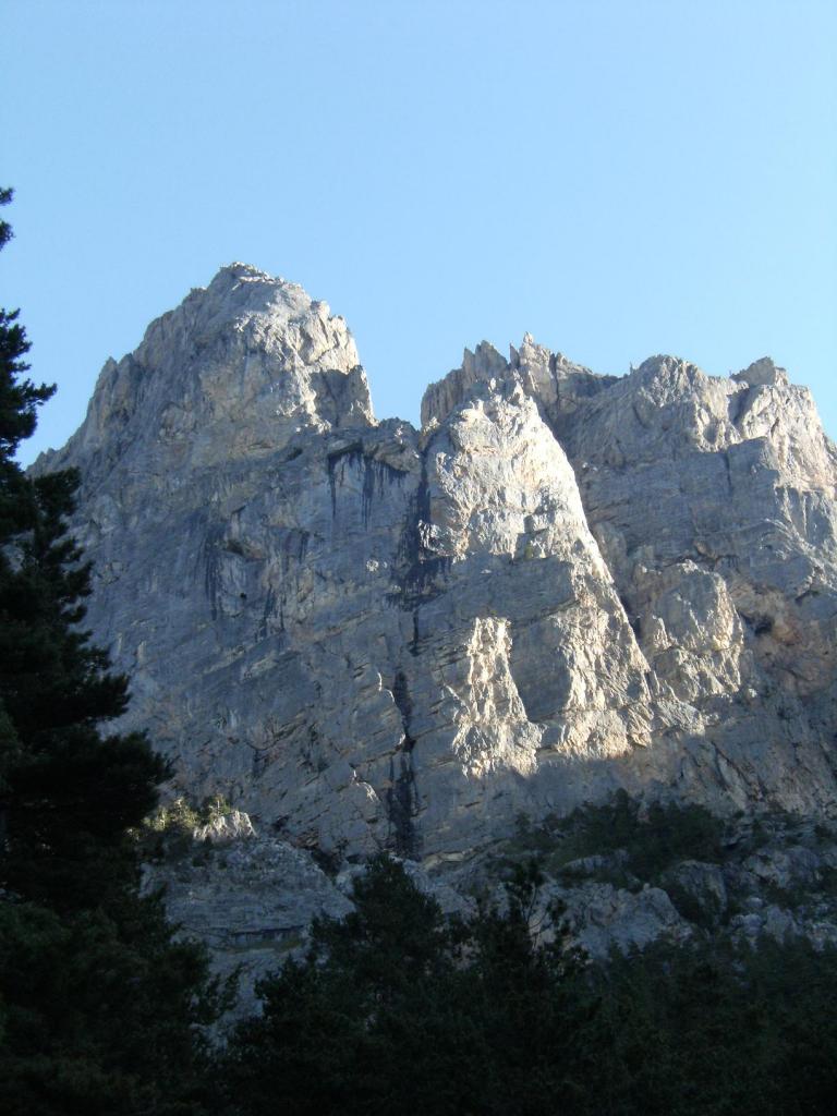
Aval (Tète d’) – La Memoire de l’Eau + Pilier Rouge Hebdo
 200m
200m
23/09/2023 Hautes-Alpes, Les Vigneaux 7a, 6b obbl. Sud
Aval (Tète d’) – Le Polichinelle dans le Tiroir
250m
17/05/2026 Hautes-Alpes, Les Vigneaux 7a, 6b obbl. Sud
Aval (Tète d’) – Ranxerox
 250m
250m
26/07/2019 Hautes-Alpes, Les Vigneaux 6c+, 6b obbl., a0 Sud-Ovest
Aval (Tète d’) – La Memoire de l’Eau
 250m
250m
28/06/2006 Hautes-Alpes, Les Vigneaux 7a, 6b+ obbl. Sud-Ovest
Aval (Tète d’) – Le Don de l’Aigle
350m
25/08/2007 Hautes-Alpes, Les Vigneaux 6c+, 6b obbl. Sud-Ovest
Aval (Tète d’) – La Der Des Der
400m

