 2.4Km
2.4Km
Note
 50m
3.6Km
3.8Km
3.8Km
3.8Km
3.8Km
3.8Km
3.8Km
6Km
6Km
50m
3.6Km
3.8Km
3.8Km
3.8Km
3.8Km
3.8Km
3.8Km
6Km
6Km
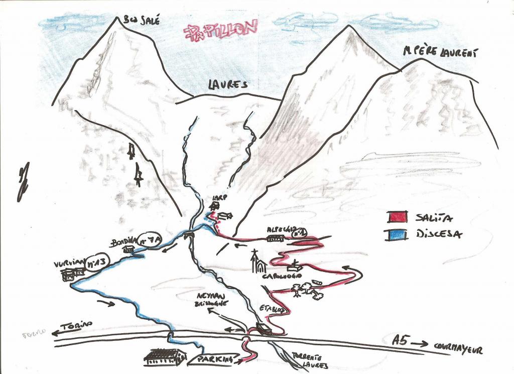
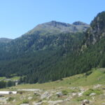
Itinerario breve, ma remunerativo. Consigliato da aprile a novembre. In discesa fondo scivoloso se bagnato.
Avvicinamento
.
Descrizione
Dal parcheggio imboccare la strada asfaltata per Neyran, passare sotto l’autostrada, voltare a dx, nei pressi dell’isola ecologica. Salire a sin a lato del torrente Laures su sterrata, al suo termine a dx e in salita la prima a sin in fraz Etabloz.
Dopo alcune centinaia di metri si svolta a dx su sterrata, in falso piano. Dove questa termina reperire un sentiero che si inoltra nel bosco di castagni (taglio piante) e seguire un ex- bel sentiero, ora largo 2 m, fino a una sterrata che sale. Seguirla fino a sbucare nei pressi del cimitero in località capoluogo.
Scendere un centinaio di m e passare di fronte al comune. Salire a dx la stradina che subito diventa sterrata e salire a dx su stradina ripida con fondo erboso, arrivati su un piazzale andare a dx, fino a imboccare la strada asfaltata che sale nel vallone delle Laures e seguirla (sentiero n.1).
Si può arrivare fino al termine della sterrata o tagliare prima a quota 1150 verso sin, in discesa. Attraversare un prato bucolico e scendere su sentiero largo, con alcuni saliscendi nel bosco, dx orografica, fino a incontrare la strada nei pressi di Bondina, Si continua in discesa, tagliando i tornanti e si arriva al sentiero 7A, poi al 13, sempre in discesa nel bosco (fondo scivoloso, frenare poco) si sbuca nei pressi di Vurvian, appena passata la fontana, si svolta a sin su sterrata, quindi, prima che questa inizi a salire ci si butta a dx su sentiero che in breve porta in fraz. Prarayer, da qui si attraversa e si ritorna al parcheggio di partenza contornando l’area umida delle Iles.
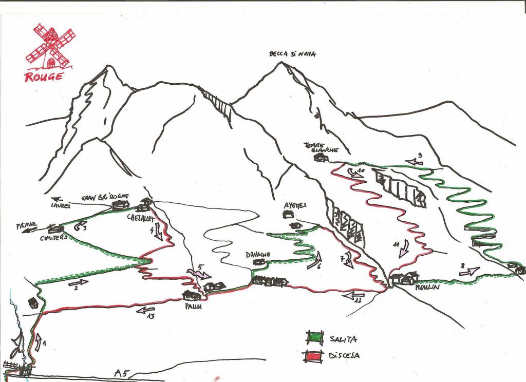
- Cartografia:
- Carta dei sentieri Comunità Montana M. Emilius
Nelle vicinanze Mappa
Itinerari
16/06/2013 AO, Brissogne D+ 1200 m MC, OC, S1 Nord
Brissogne – Pollein (Collina di) da Brissogne
 50m
50m
07/11/2021 AO, Quart D+ 1777 m BC+, BC+, S2 Varie
Fana (Croce di) da Quart, anello
 3.6Km
3.6Km
28/10/2017 AO, Quart D+ 950 m OC, BC+, S3 Sud
Cornet (Col) da Avisod, giro della Croce di Fana
 3.8Km
3.8Km
29/07/2020 AO, Quart D+ 1219 m BC+, OC+, S1 Sud
Saint Barthelemy (Colle di) da Fonteil, giro per il Col de l’Arpeyssaou
 3.8Km
3.8Km
26/10/2018 AO, Saint-Marcel D+ 1566 m BC, OC, S3 Varie
Corquet (Mont) da Saint Marcel, giro
 3.8Km
3.8Km
16/08/2019 AO, Saint-Marcel D+ 1800 m BC+, OC+, S3 Nord-Est
Leppe (Colle di) da Saint Marcel
 3.8Km
3.8Km
14/08/2021 AO, Saint-Marcel D+ 2300 m BC+, BC, S2 Tutte
Saint Marcel (Colle di) da Saint Marcel, giro per Gimillan
 3.8Km
3.8Km
17/07/2025 AO, Saint-Marcel D+ 1900 m MC+, BC+, S1 Nord
Petite Chaux (Alpe) e Lago Layet da Saint Marcel per il Vallone di Saint Marcel
 3.8Km
3.8Km
18/07/2025 AO, Nus D+ 1800 m MC, BC, S1 Sud
Magià (Rifugio) da Nus per la Valle di Saint Barthelemy
 6Km
6Km
03/11/2013 AO, Nus D+ 1280 m MC, BC, S1 Sud
Bornes (Col de) da Nus
 6Km
6Km