1.6Km
1.6Km
Note
 50m
50m
50m
50m
50m
50m
50m
50m
50m
50m
50m
50m
50m
50m
50m
50m
50m
50m
1.6Km
1.7Km
1.7Km
1.9Km
1.9Km
2.4Km
3Km
3.1Km
3.3Km
3.3Km
gita facile che si svolge interamente su ottimi sentieri, in gran parte vecchie mulattiere militari. E’ possibile concatenarla con altre cime della zona facendo quindi degli anelli senza aumentare troppo il dislivello e la difficoltà
Avvicinamento
Dall'abitato di Ghigo di Prali (in valle Germanasca a 75 km da Torino) superare la stazione di partenza dell'EX seggiovia del Bric Rond e seguire una strada ripida, tortuosa e a fondo naturale che porta in 4 km all'alpeggio Bout du Col.
Descrizione
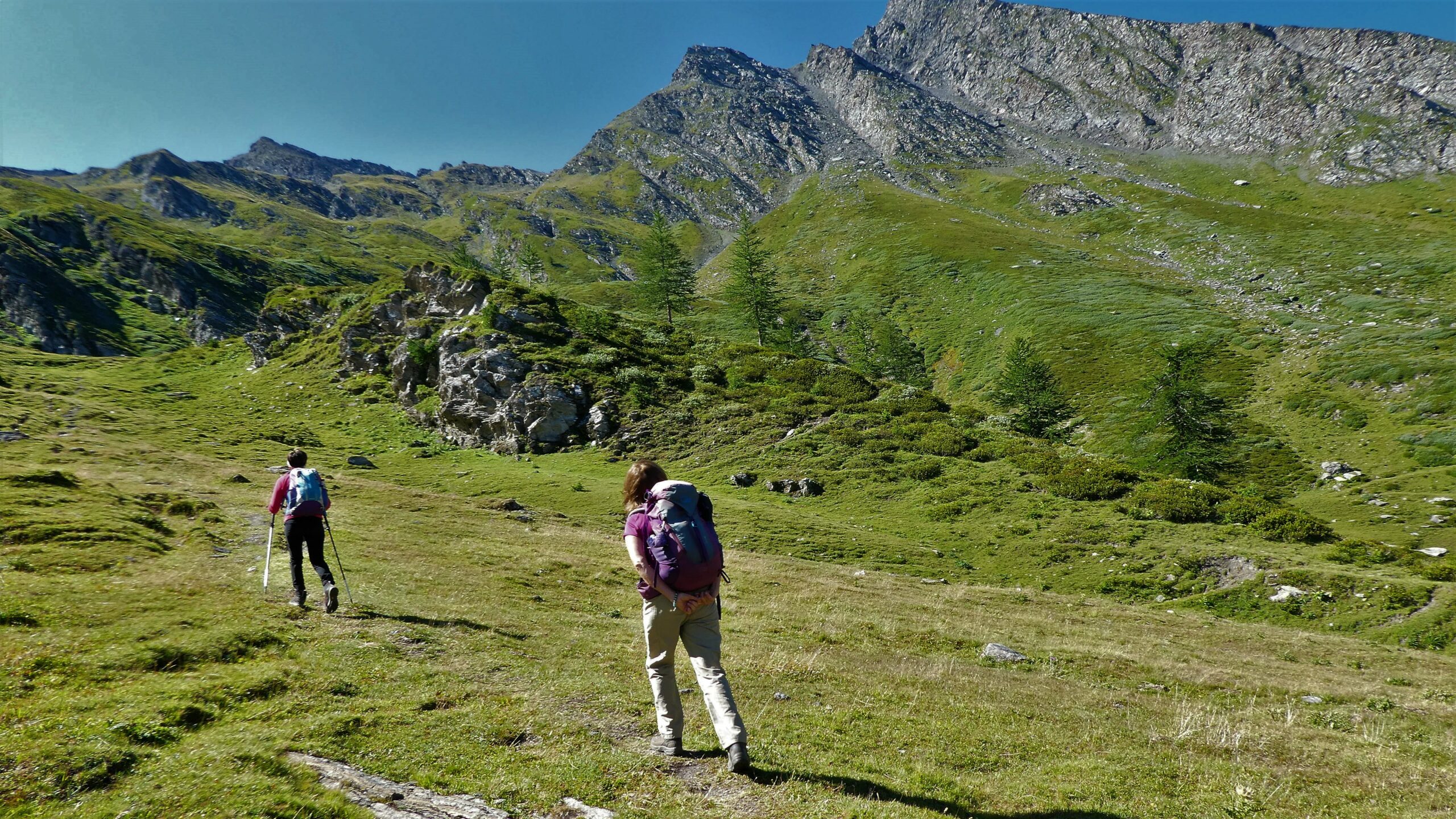
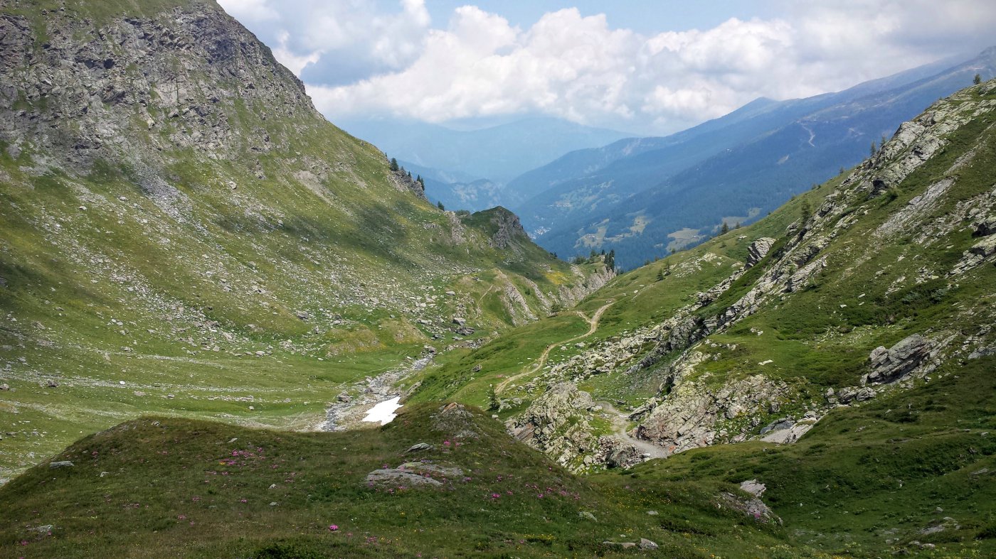
Dalle bergerie seguire per qualche decina di metri la strada sterrata che si spinge verso la testata della valle, deviando poi a sx per un sentiero ascendente (EPT 208 – GTA) che, descritti numerosi ripidi tornanti nel fitto di un lariceto, esce su un verde pianoro pascolivo.
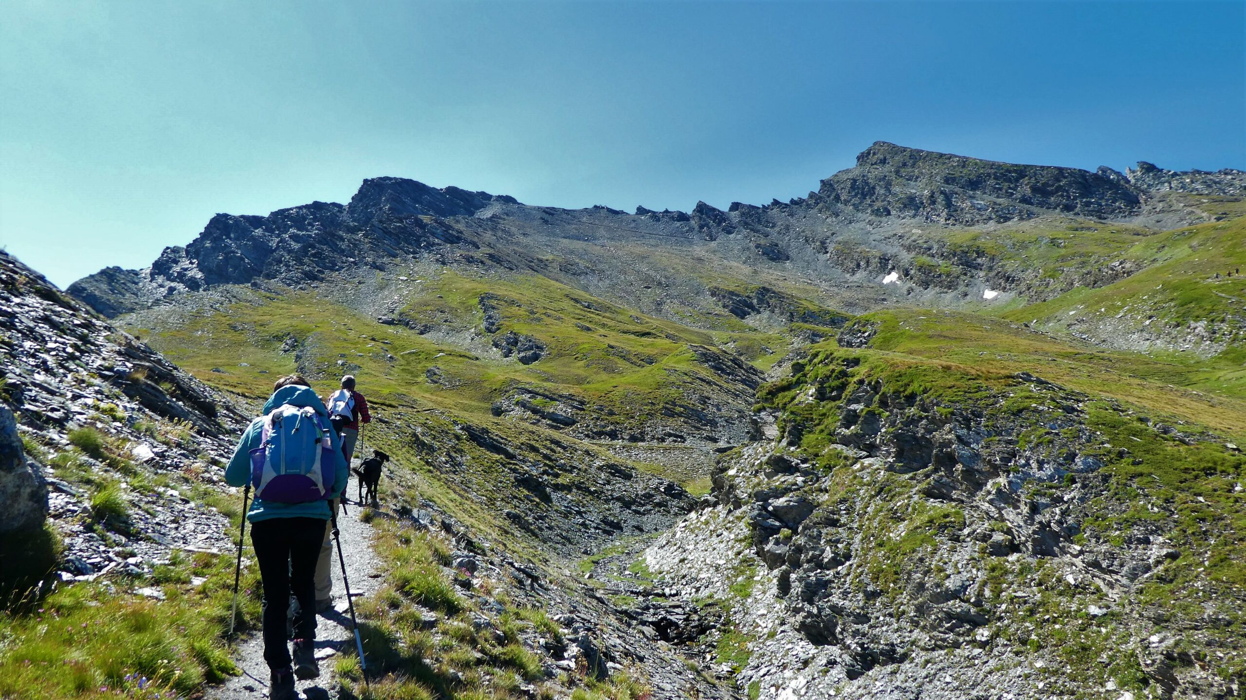
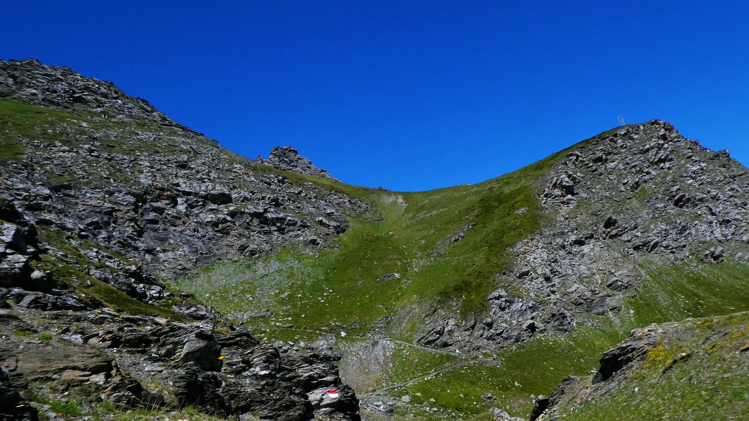
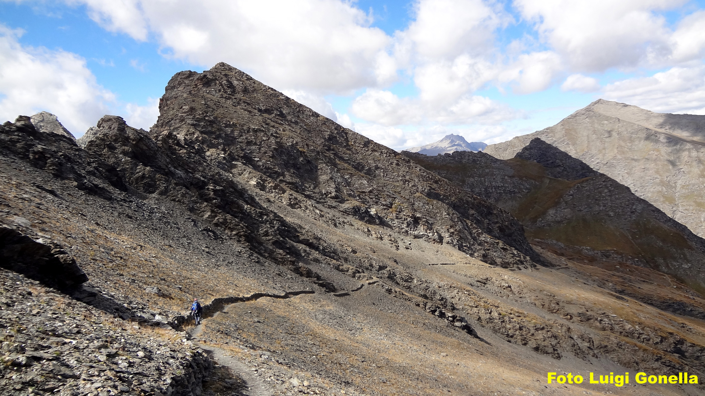
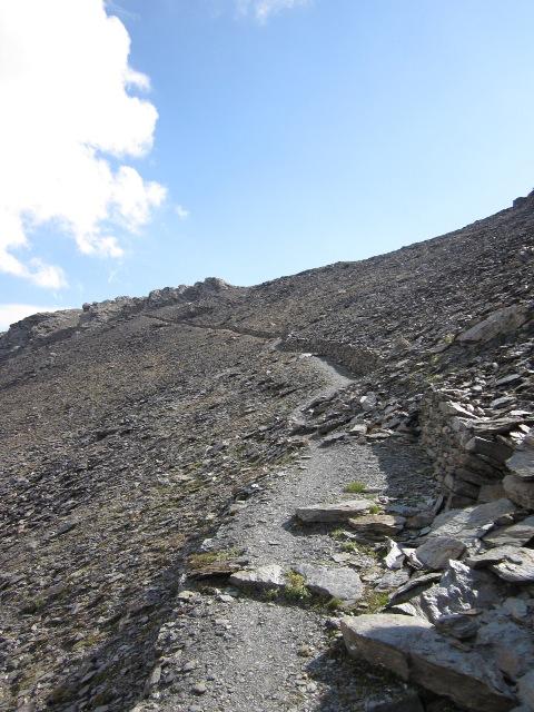
Attraversato in piano un ripido costone, si giunge a un bivio ove, sulla destra, si stacca la mulattiera che porta al Lago Verde e all’omonimo rifugio (indicato da una freccia). Si deve invece volgere a sinistra entrando in uno splendido tracciato militare (segn. 22 blu) che risale comodamente un lungo pendio erboso. La strada prende quota con numerosi tornanti per spostarsi poi sulla destra e attraversare una lunga serie di pascoli.
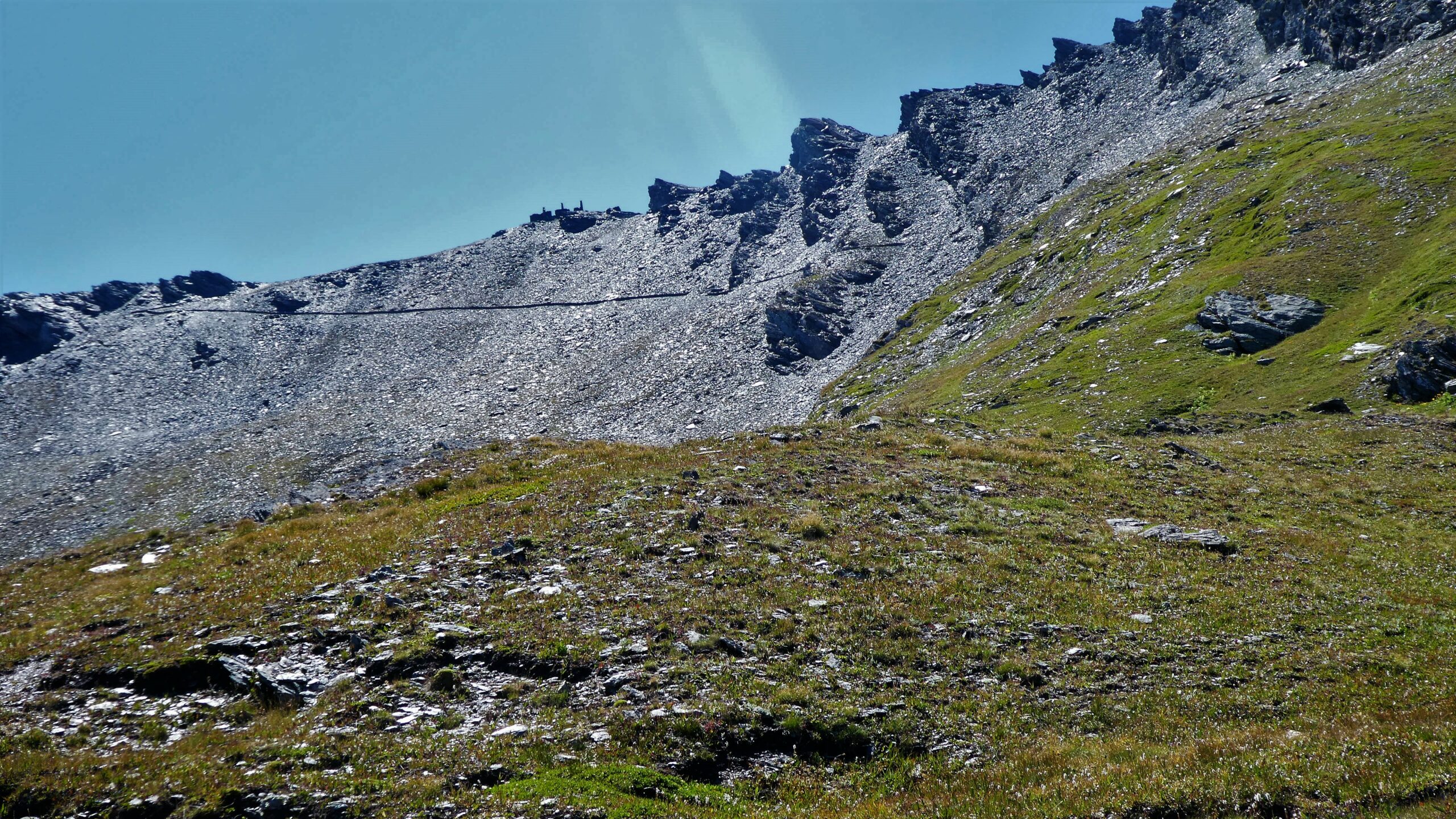
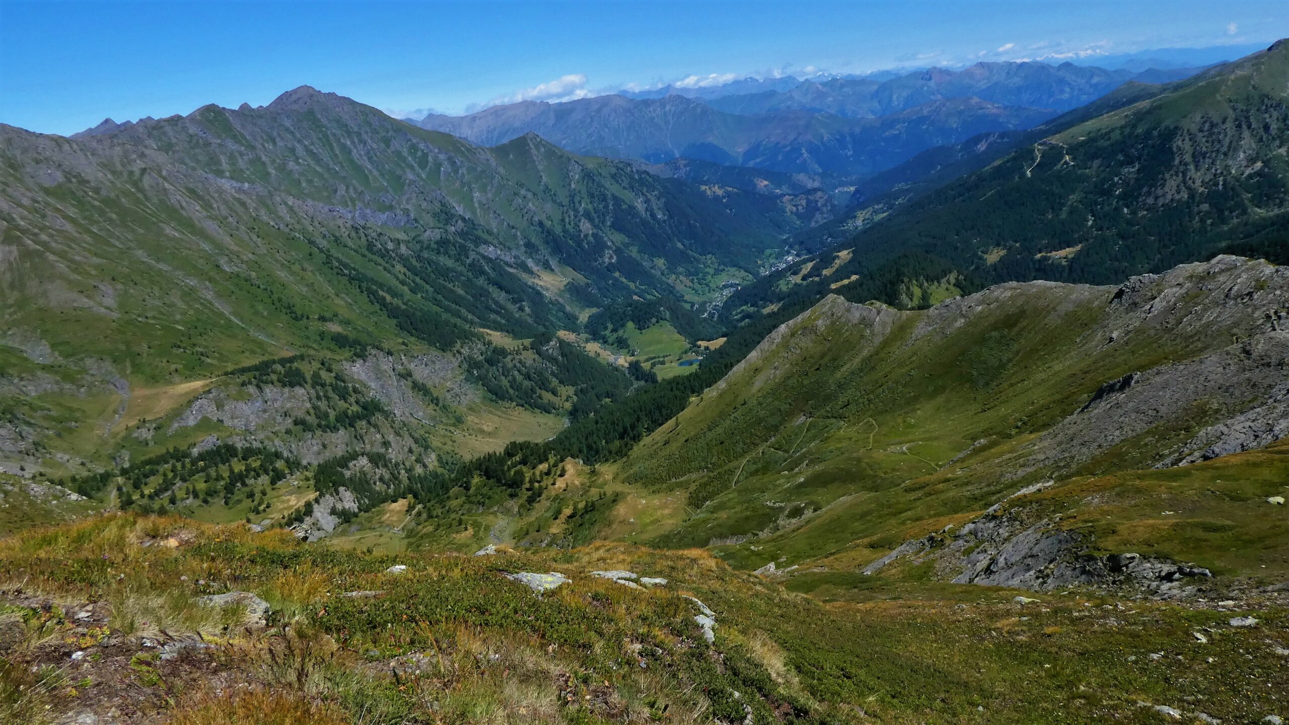
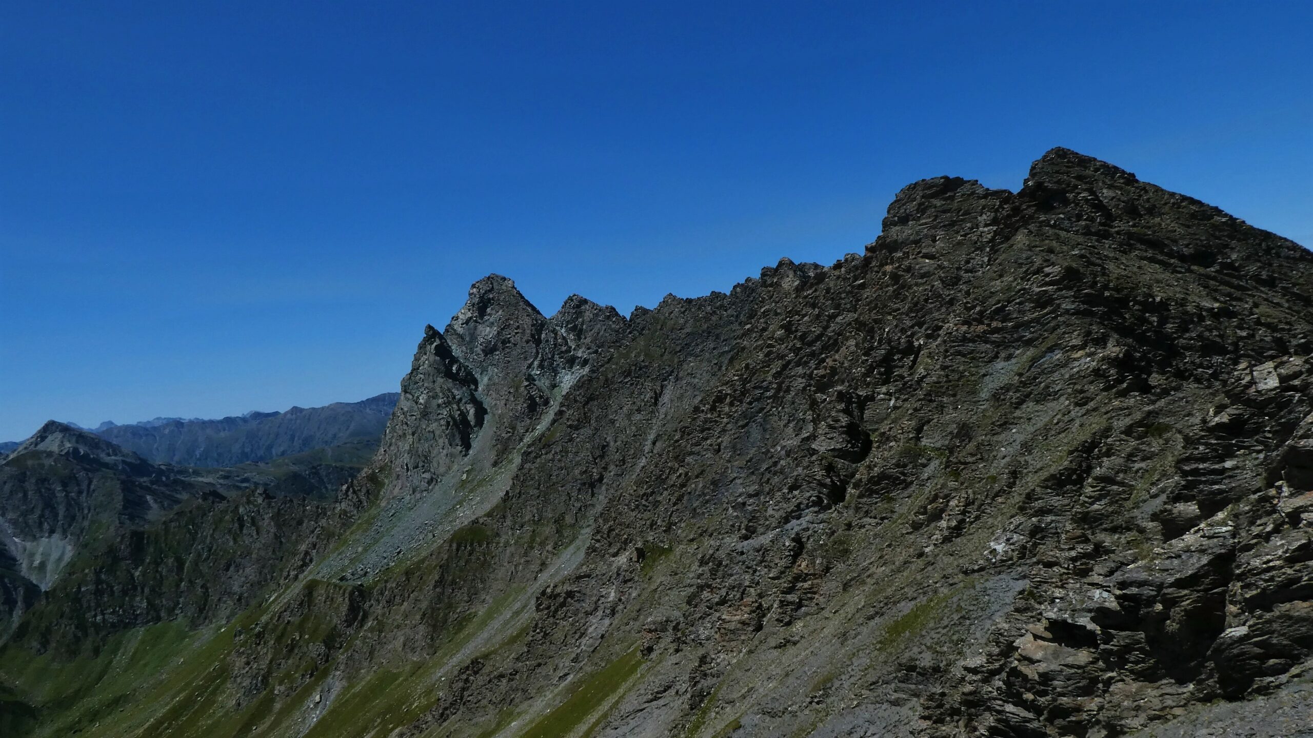
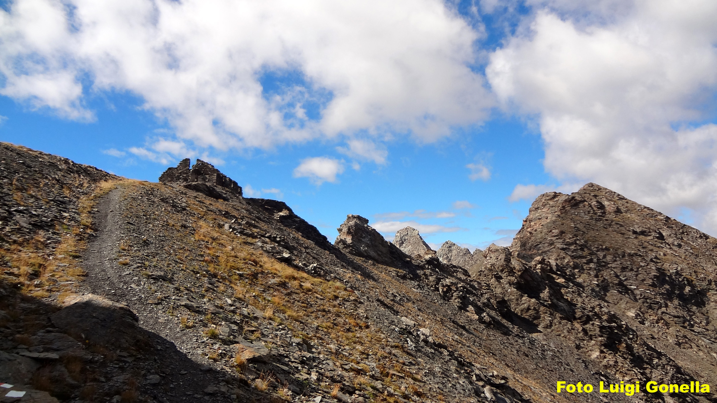
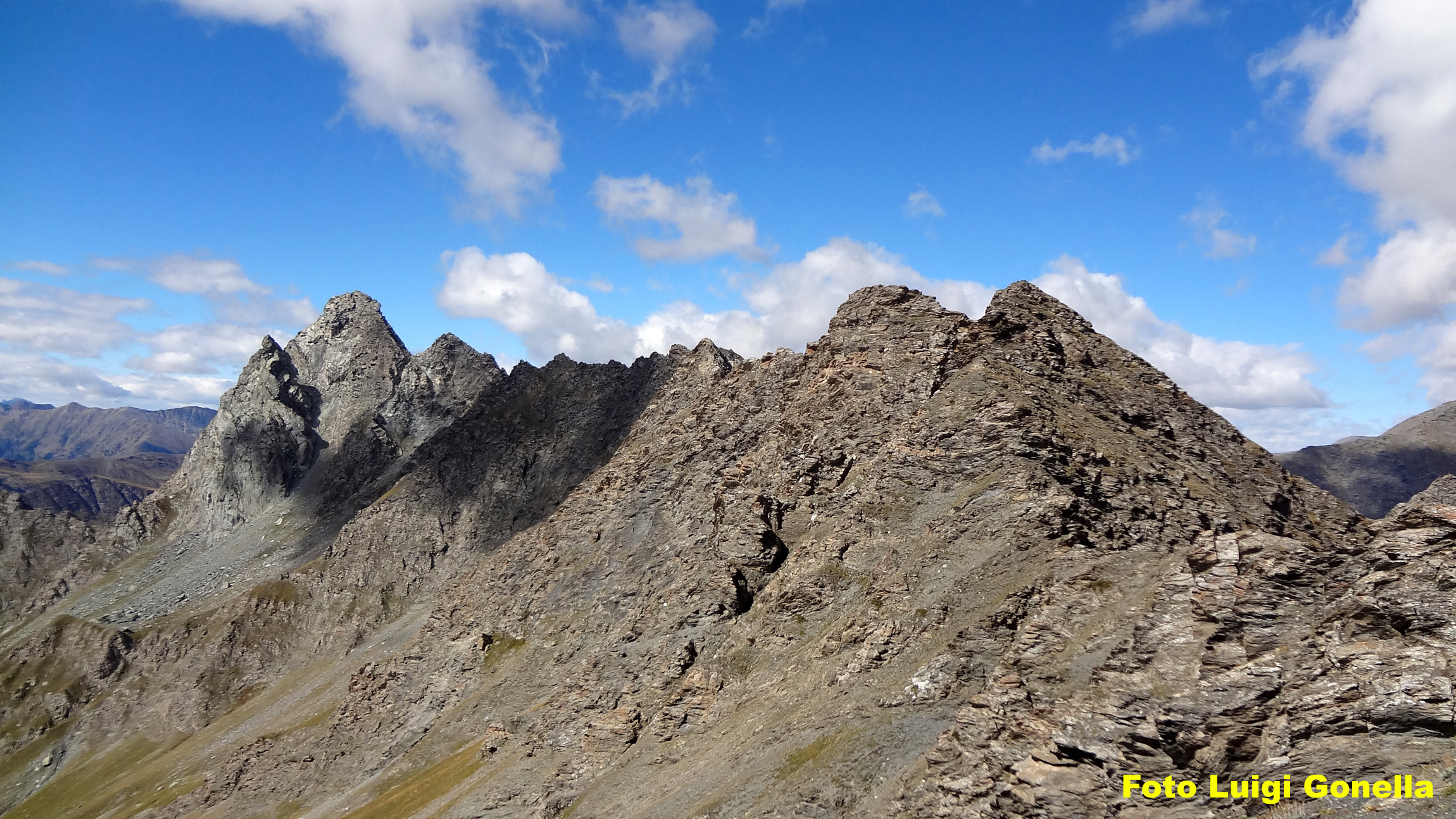
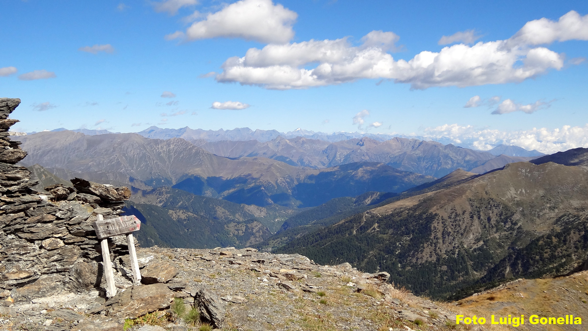
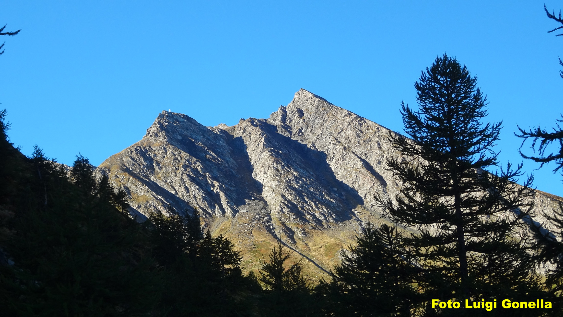
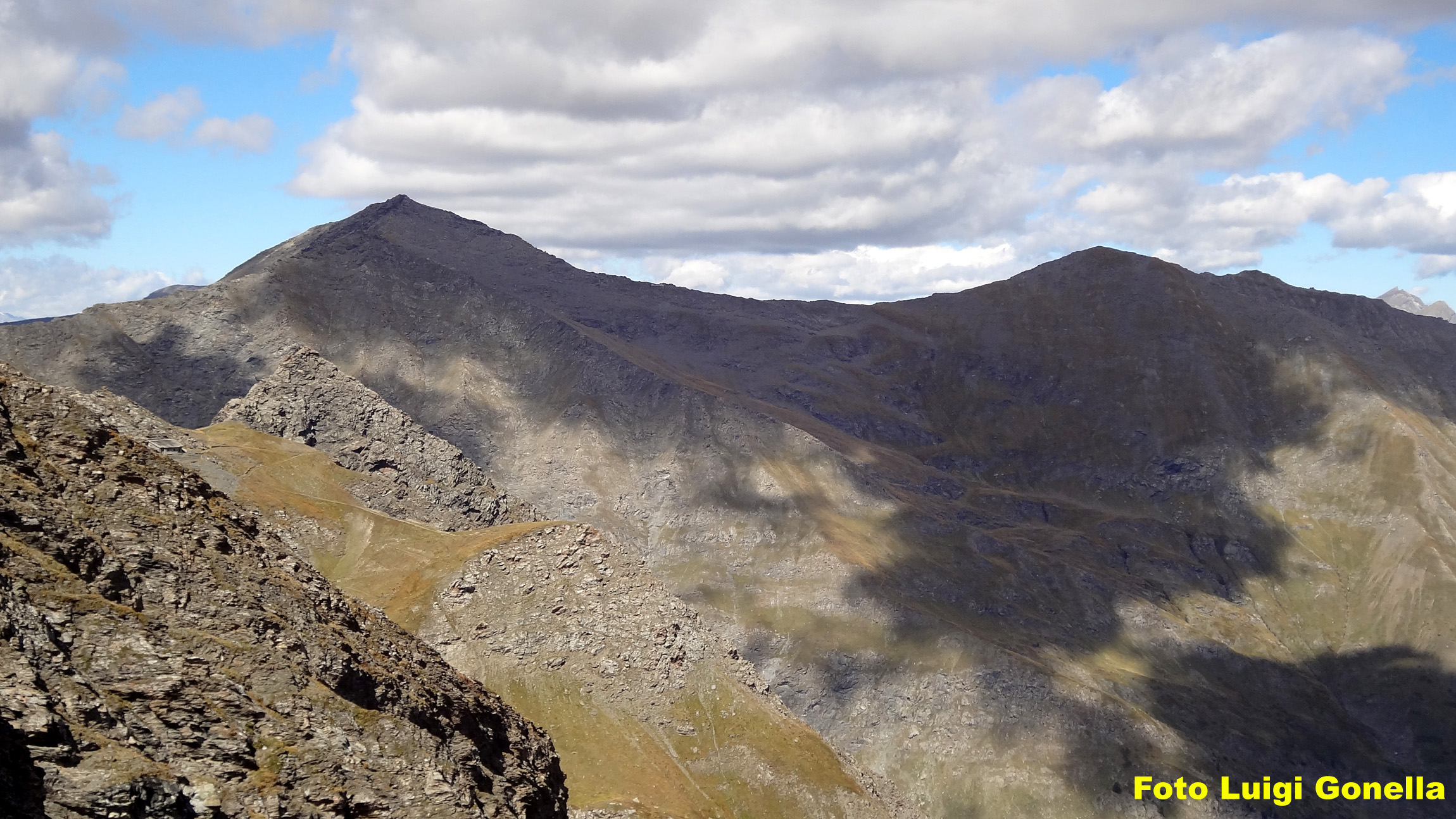
Raggiunto un valloncello nivale dove si trova il bivio da cui si dirama anche il sentiero che conduce al Colle della Gran Guglia, si svolta invece a sinistra e con un lungo traverso ascendente si raggiunge la Cima Cerisira, riconoscibile dal basso per un baraccamento militare in rovina che sorge proprio sulla vetta.
Discesa:
lungo l’itinerario di salita
- Cartografia:
- carta IGC 1:50.000 - n°1 - Valli di Susa, Chisone, Germanasca
Nelle vicinanze Mappa
Itinerari
31/07/2006 TO, Prali D+ 1117 m E Nord-Est
Longia (Passo della) da Bout du Col per il Vallone della Longia
 50m
50m
11/08/2023 TO, Prali D+ 1500 m EE/F Nord
Cerisira (Punta), Gran Guglia e Punta Fiunira da Bout du Col, anello
 50m
50m
10/08/2025 TO, Prali D+ 973 m E Nord
Abries (Col d’) da Bout du Col, anello per il Rifugio Lago Verde
 50m
50m
24/08/2024 TO, Prali D+ 900 m E Varie
Lago Verde (Rifugio) da Bout du Col
 50m
50m
30/08/2009 TO, Prali D+ 932 m E Varie
Soardi Nino (Bivacco) al Col Bucie da Bout du Col per il Rifugio Lago Verde
 50m
50m
15/08/2025 TO, Prali D+ 1500 m EE Nord-Est
Gran Queyron e Cima Frappier da Bout du Col, anello
 50m
50m
13/07/2026 TO, Prali D+ 1077 m EE/F Varie
Gran Guglia da Bout du Col, anello per il Lago Verde
 50m
50m
06/08/2020 TO, Prali D+ 1350 m EE/F Nord-Est
Rasin (Punta) da Bout du Col, anello cresta Nord-Est dal Passo Frappier-Longia
50m
20/08/2022 TO, Prali D+ 1305 m EE Sud-Est
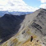
Frappier (Cima) da Bout du Col, anello per passo Frappier e il passo della Longia
 50m
50m
10/08/2021 TO, Prali D+ 1160 m EE/F Varie
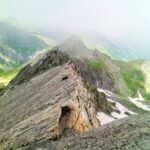
Baraccone di San Giacomo (Punta del) da Bout da Col
 50m
50m
Servizi
1.6Km
1.7Km
La Miandetta di Grill B&B
Prali
1.7Km
Giordano B&B
Prali
1.9Km
Edelweiss B&B
Prali
1.9Km
La Longia Rifugio
Prali
2.4Km
Mirage Ristorante
Prali
3Km
Delle Alpi Ristorante
Prali
3.1Km
Severino Bessone al Lago Verde Rifugio
Prali
3.3Km
Delle Alpi Albergo
Prali
3.3Km