1.6Km
1.6Km


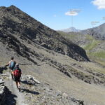
Avvicinamento
 50m
50m
50m
50m
50m
50m
50m
50m
50m
50m
50m
50m
50m
50m
50m
50m
50m
50m
1.6Km
1.6Km
1.7Km
1.9Km
1.9Km
2.4Km
3Km
3.1Km
3.3Km
3.3Km
.
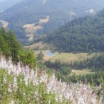
Descrizione
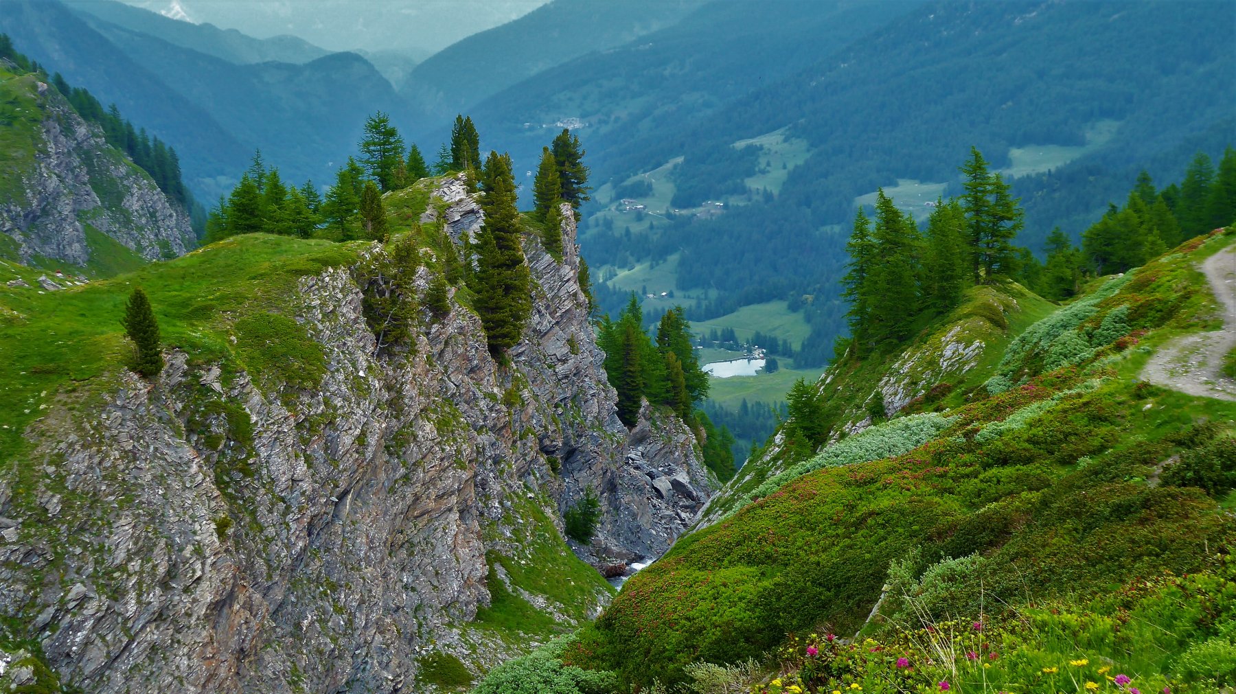
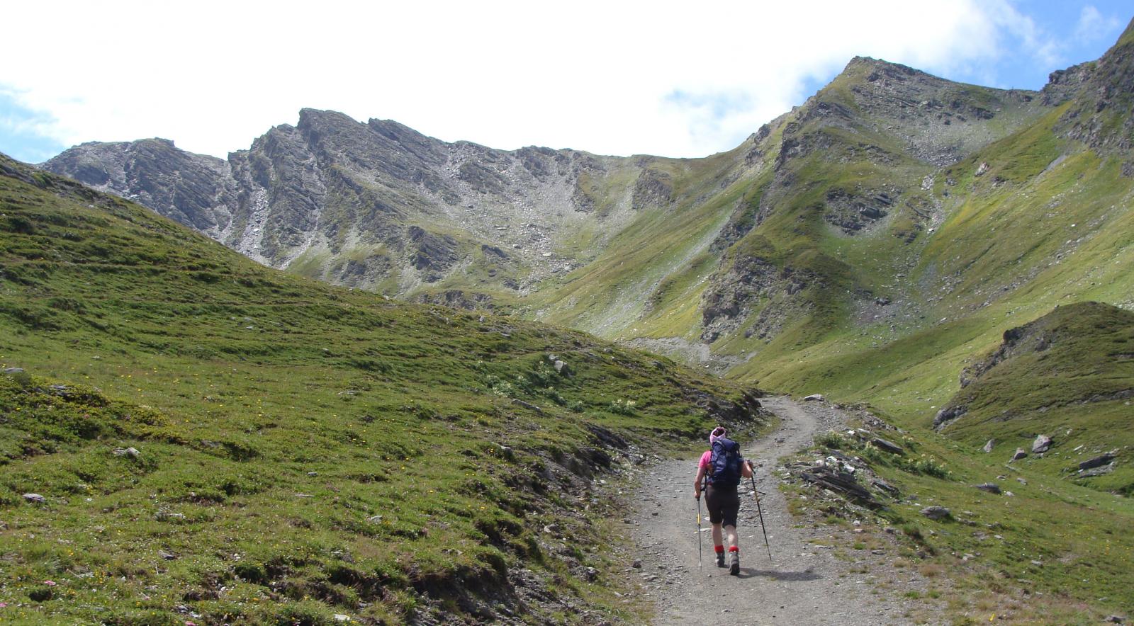
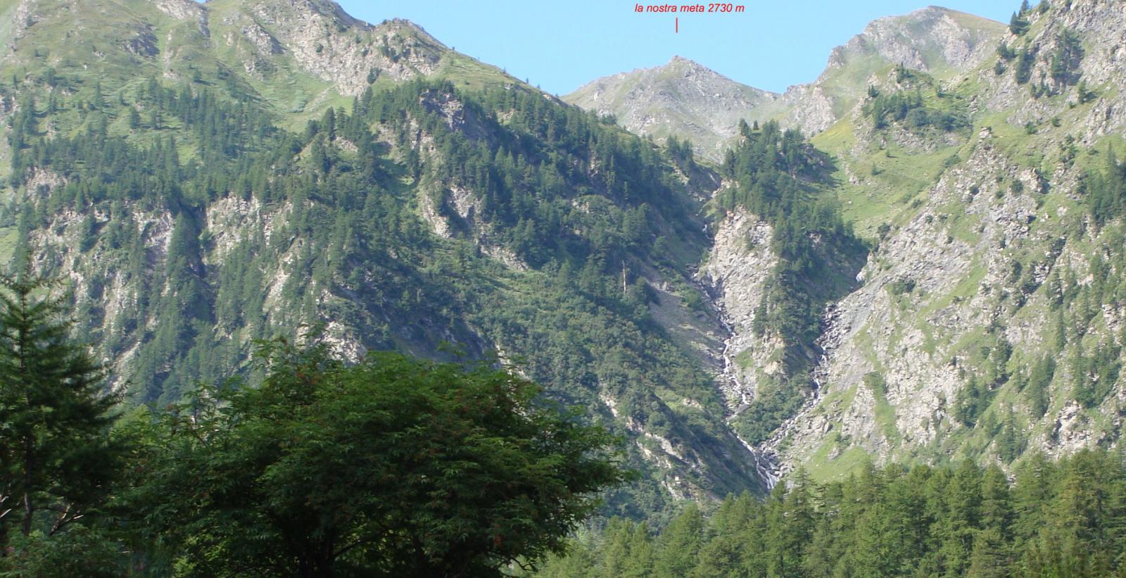
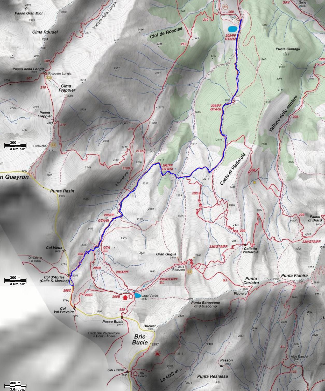
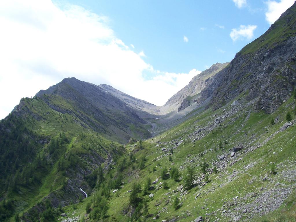
Dalle baite di Bout du Col continuare in leggera discesa per lo sterrato fino ad attraversare un ponte. Da qui c’e’ l’indicazione per il Passo Frappier. C’è poi un bivio con cartelli di legno. A dx si va alla cima Frappier e Colle Longia. Proseguire dritto sul 208.
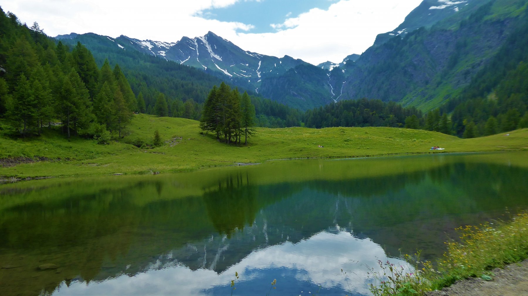
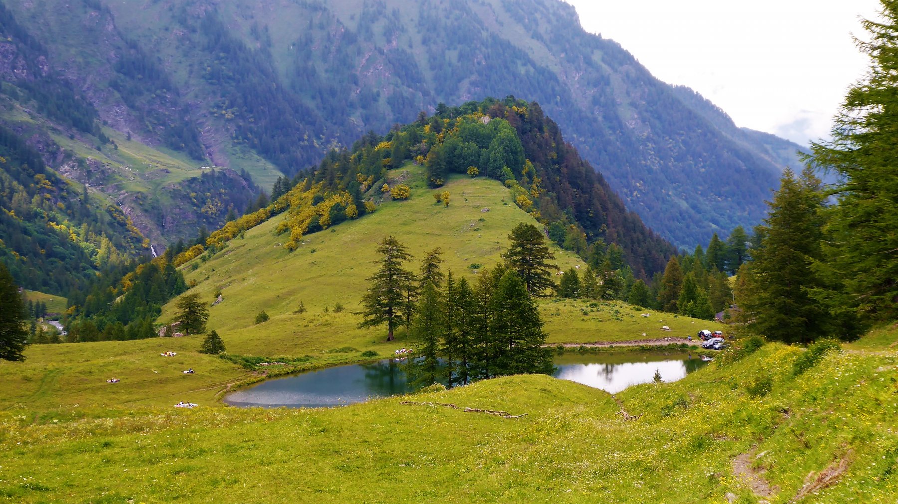
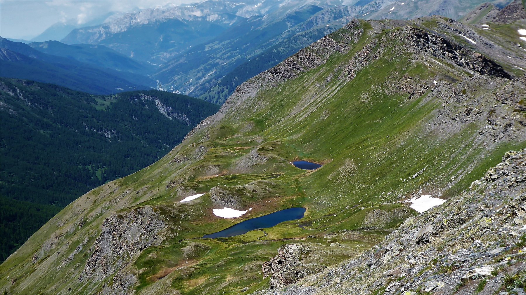
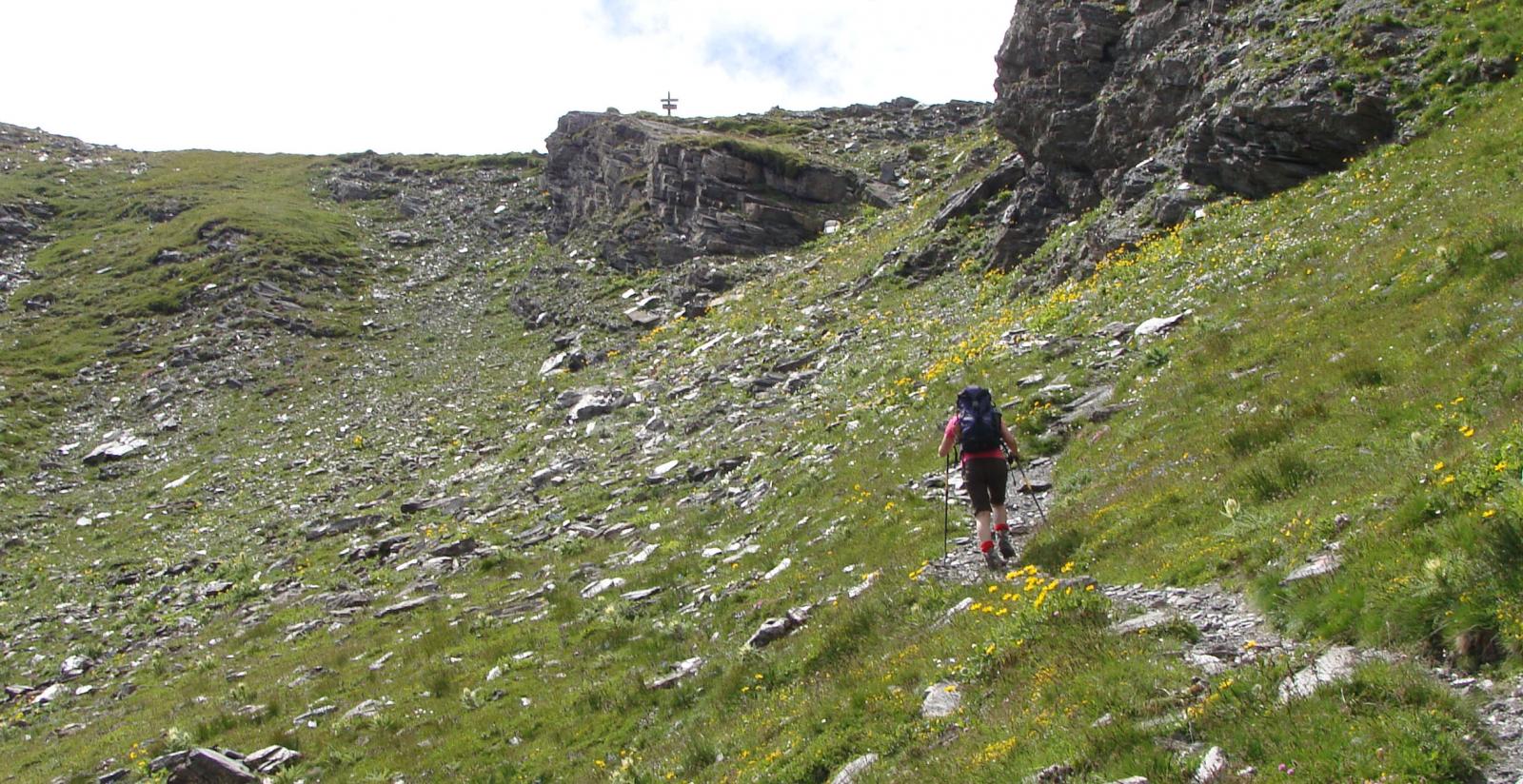
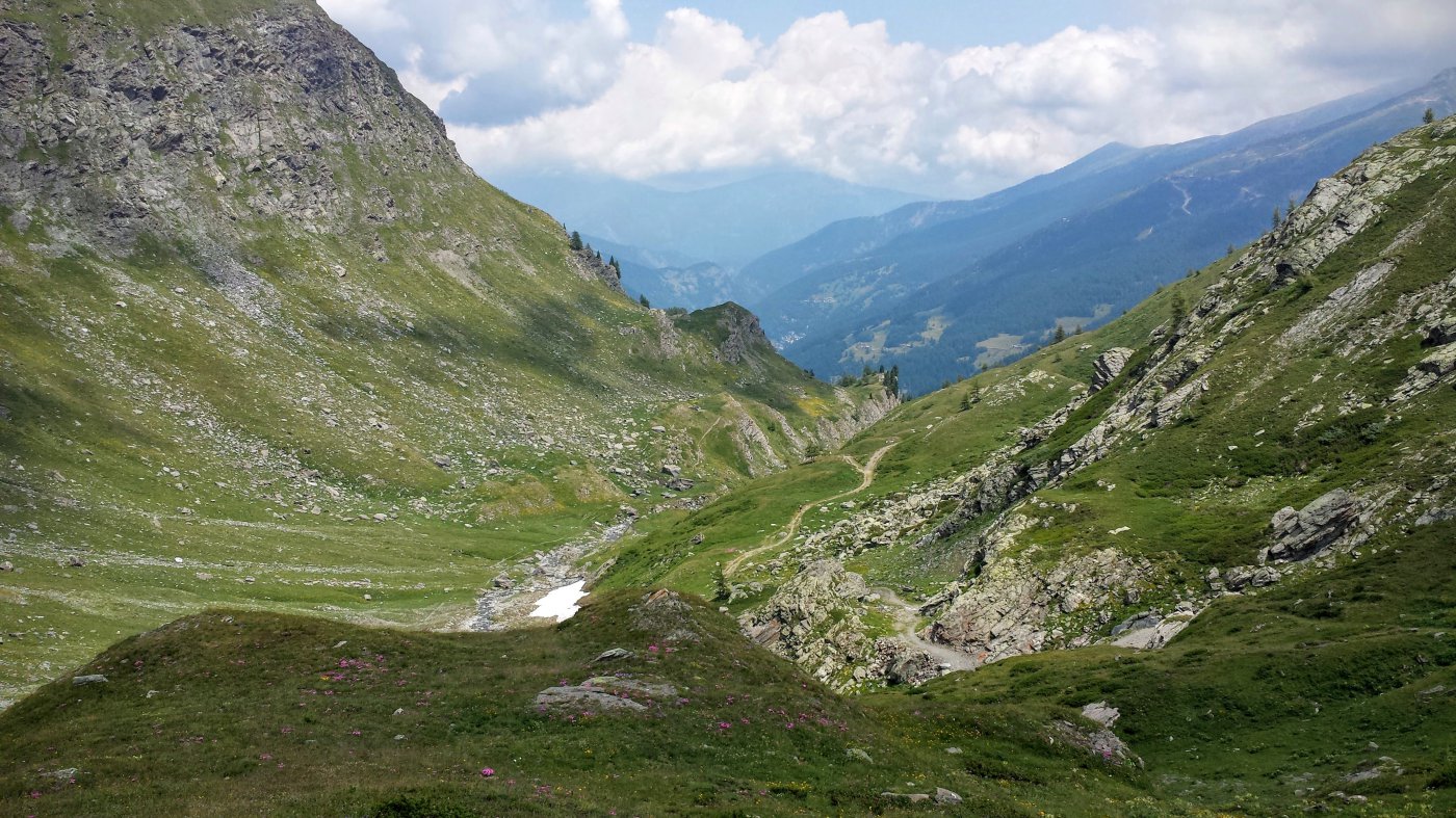
Dal colle si continua sul 208 C fino ad un ometto. Discesa sul versante opposto fino a ricongiungersi col il sentiero 208 che conduce al Lago Verde.
- Cartografia:
- Fraternali 1:25000 n.5 Val Germanasca, Val Chisone
Nelle vicinanze Mappa
Itinerari
13/07/2026 TO, Prali D+ 1077 m EE/F Varie
Gran Guglia da Bout du Col, anello per il Lago Verde
 50m
50m
11/08/2023 TO, Prali D+ 1500 m EE/F Nord
Cerisira (Punta), Gran Guglia e Punta Fiunira da Bout du Col, anello
 50m
50m
15/08/2025 TO, Prali D+ 1500 m EE Nord-Est
Gran Queyron e Cima Frappier da Bout du Col, anello
 50m
50m
19/07/2026 TO, Prali D+ 900 m E Varie
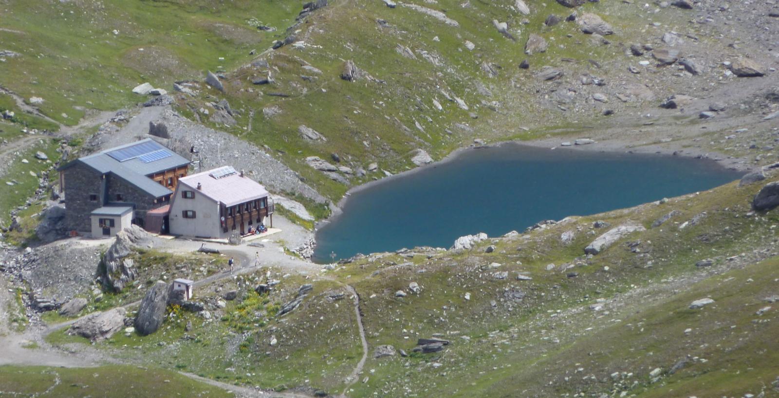
Lago Verde (Rifugio) da Bout du Col
 50m
50m
30/08/2009 TO, Prali D+ 932 m E Varie
Soardi Nino (Bivacco) al Col Bucie da Bout du Col per il Rifugio Lago Verde
 50m
50m
06/08/2023 TO, Prali D+ 1080 m E Nord
Cerisira (Punta) da Bout du Col
 50m
50m
31/07/2006 TO, Prali D+ 1117 m E Nord-Est
Longia (Passo della) da Bout du Col per il Vallone della Longia
 50m
50m
20/08/2022 TO, Prali D+ 1305 m EE Sud-Est
Frappier (Cima) da Bout du Col, anello per passo Frappier e il passo della Longia
 50m
50m
06/08/2020 TO, Prali D+ 1350 m EE/F Nord-Est
Rasin (Punta) da Bout du Col, anello cresta Nord-Est dal Passo Frappier-Longia
50m
10/08/2021 TO, Prali D+ 1160 m EE/F Varie
Baraccone di San Giacomo (Punta del) da Bout da Col
 50m
50m
Servizi
1.6Km
1.6Km
La Miandetta di Grill B&B
Prali
1.7Km
Giordano B&B
Prali
1.9Km
Edelweiss B&B
Prali
1.9Km
La Longia Rifugio
Prali
2.4Km
Mirage Ristorante
Prali
3Km
Delle Alpi Ristorante
Prali
3.1Km
Severino Bessone al Lago Verde Rifugio
Prali
3.3Km
Delle Alpi Albergo
Prali
3.3Km