1.7Km
1.7Km

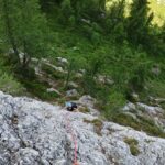
Avvicinamento
Storico
 100m
350m
350m
900m
1Km
1.8Km
1.8Km
2Km
100m
350m
350m
900m
1Km
1.8Km
1.8Km
2Km
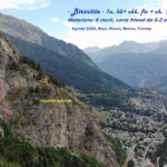
Da Courmayeur entrare in Val Veny, al primo bivio a sin. (indicazione per Rifugio Monte Bianco). Superare il Rifugio M. Bianco e salire per la strada fino alla sbarra di Prè de Pascal (1902 m)
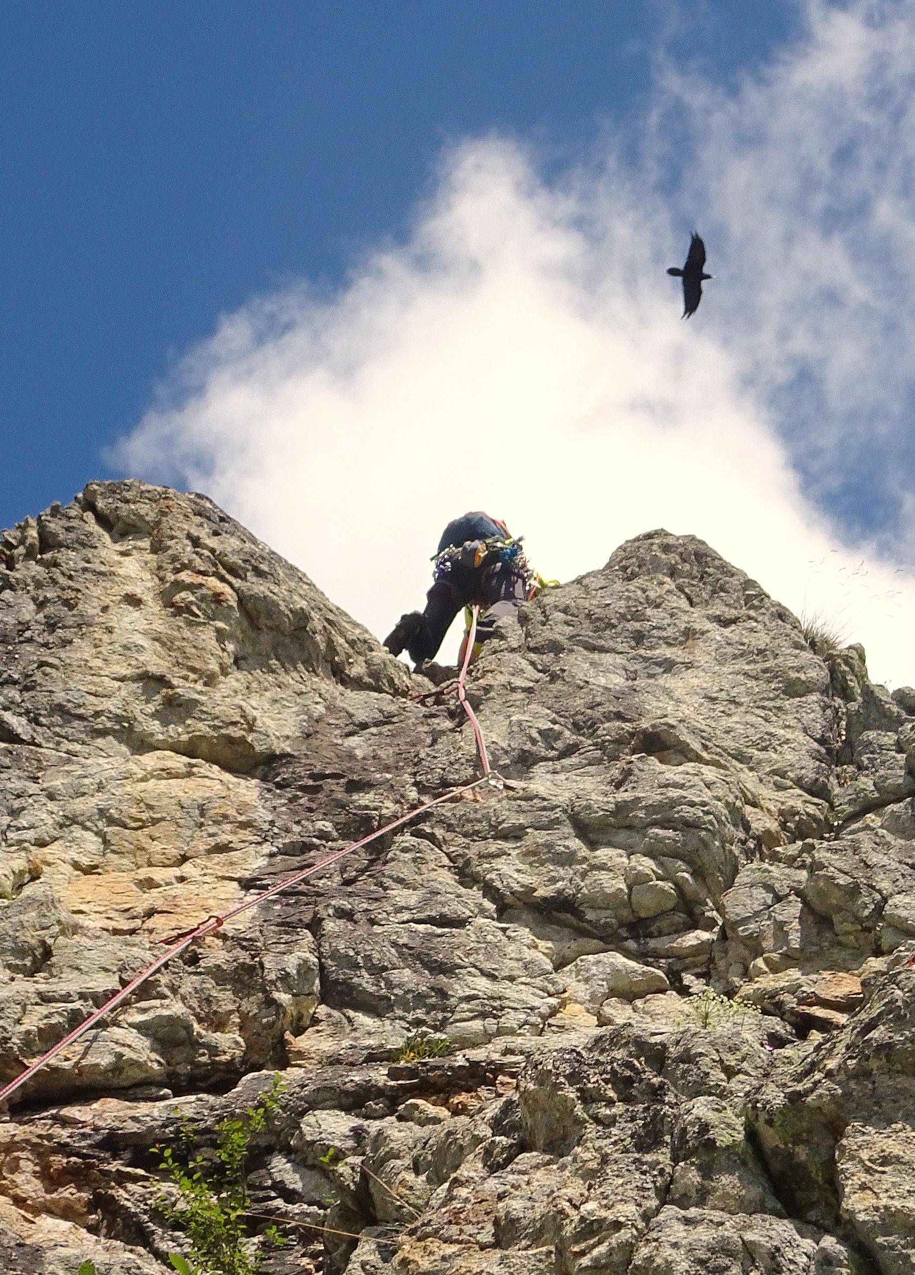
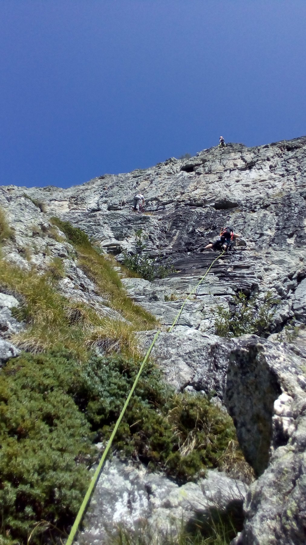
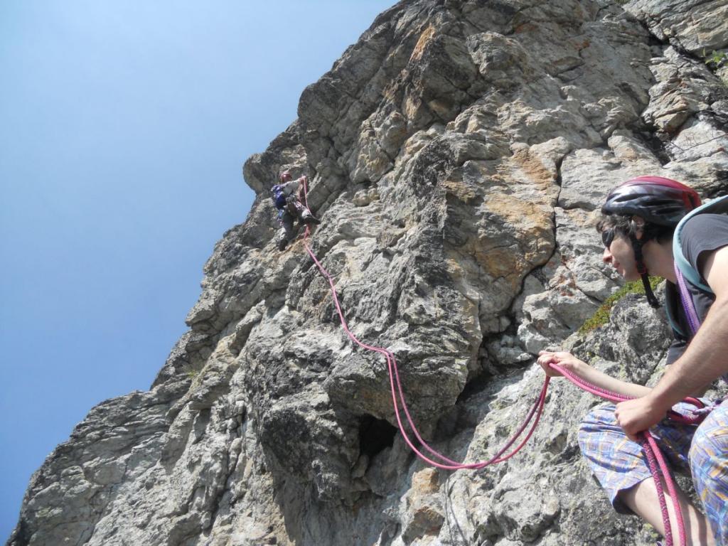
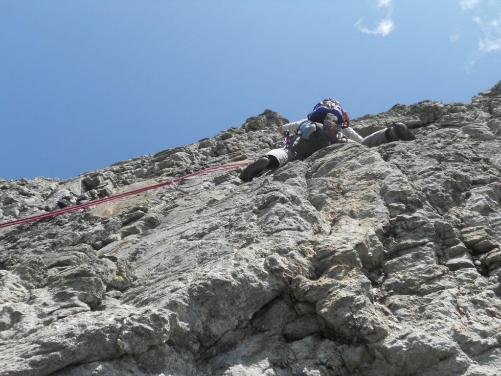
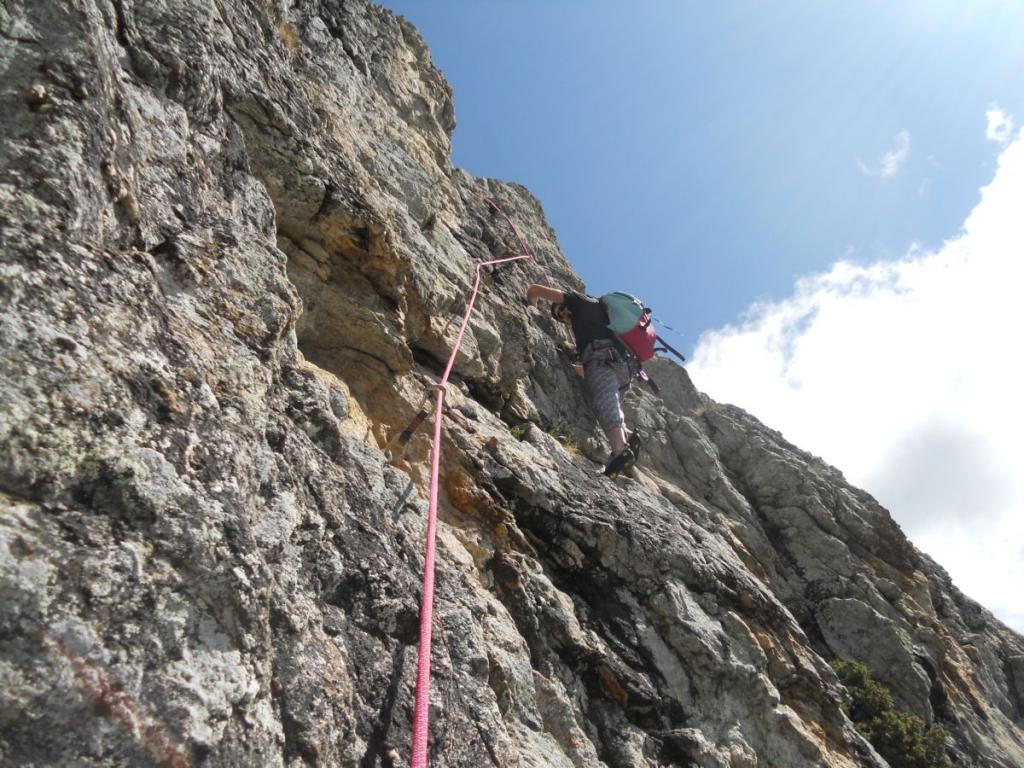
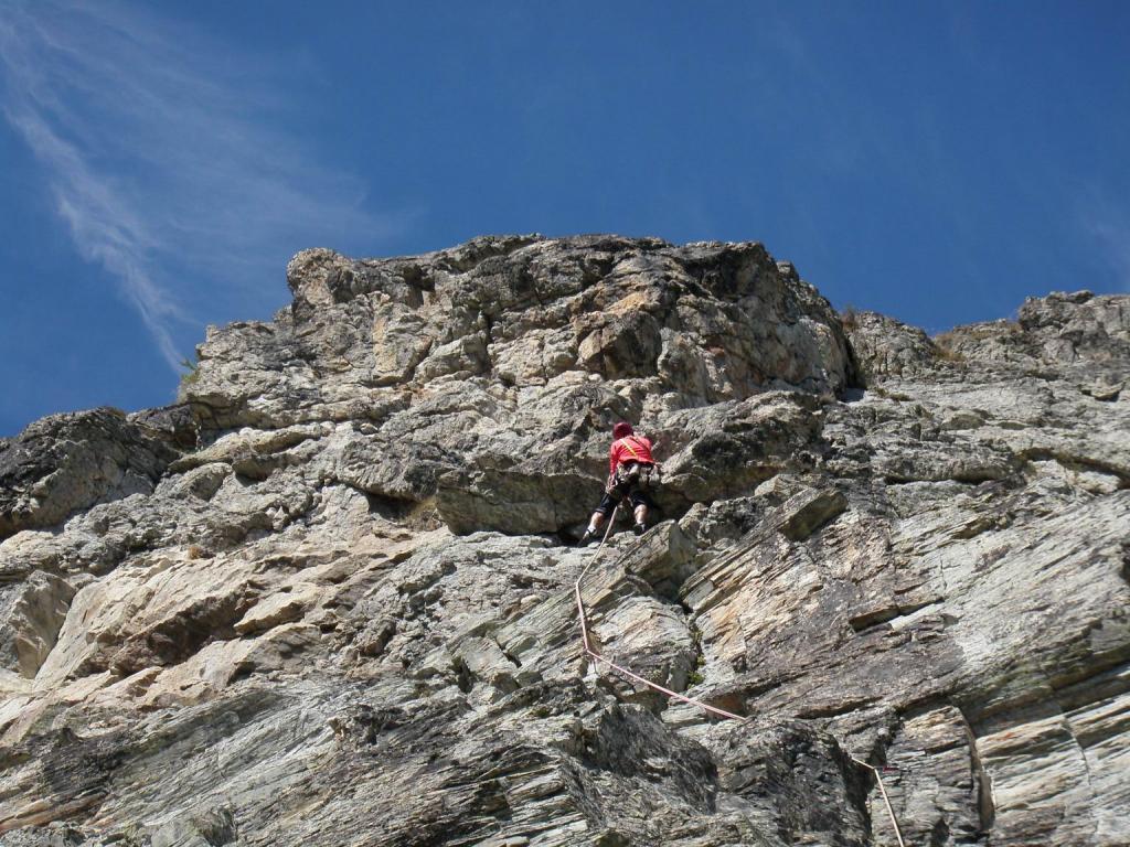
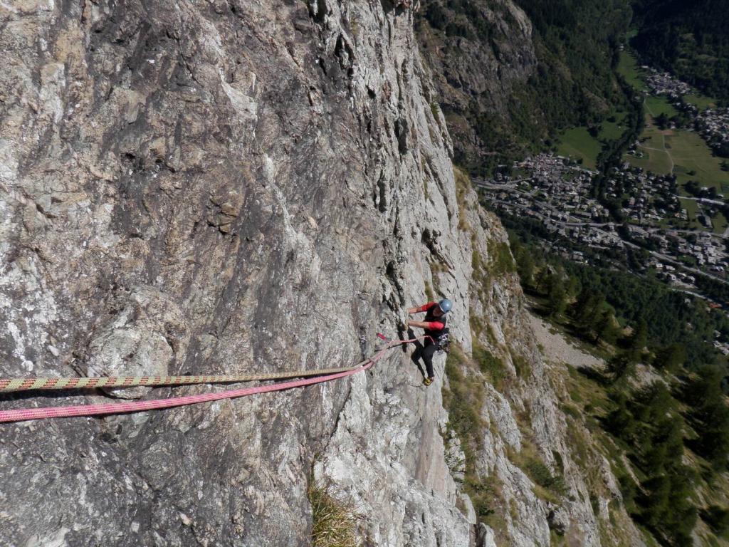
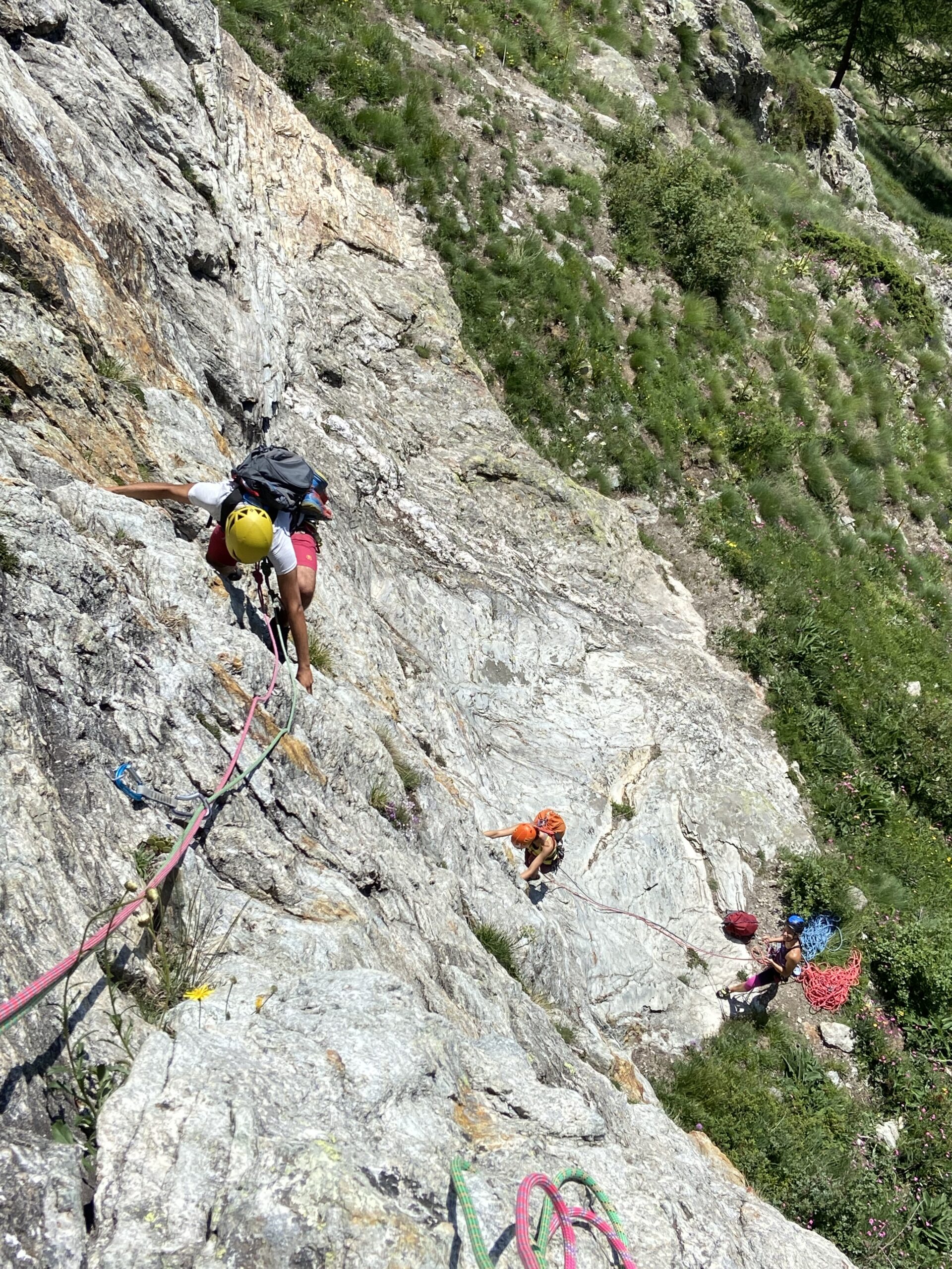
Di qui prendere il sentiero che sale dietro il piccolo chalet della Scuola di sci, alcune catene ed una scaletta portano alla parte pianeggiante del sentiero rivolta verso Courmayeur, continuare fino ad incontrare altre catene in discesa, scendere e dopo una cinquantina di m. si trova un ometto sulla sinistra, di qui salire dritti alla parete verso un muro rosso ben visibile. 45 min.
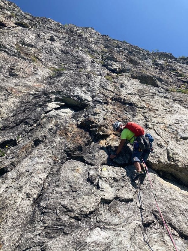
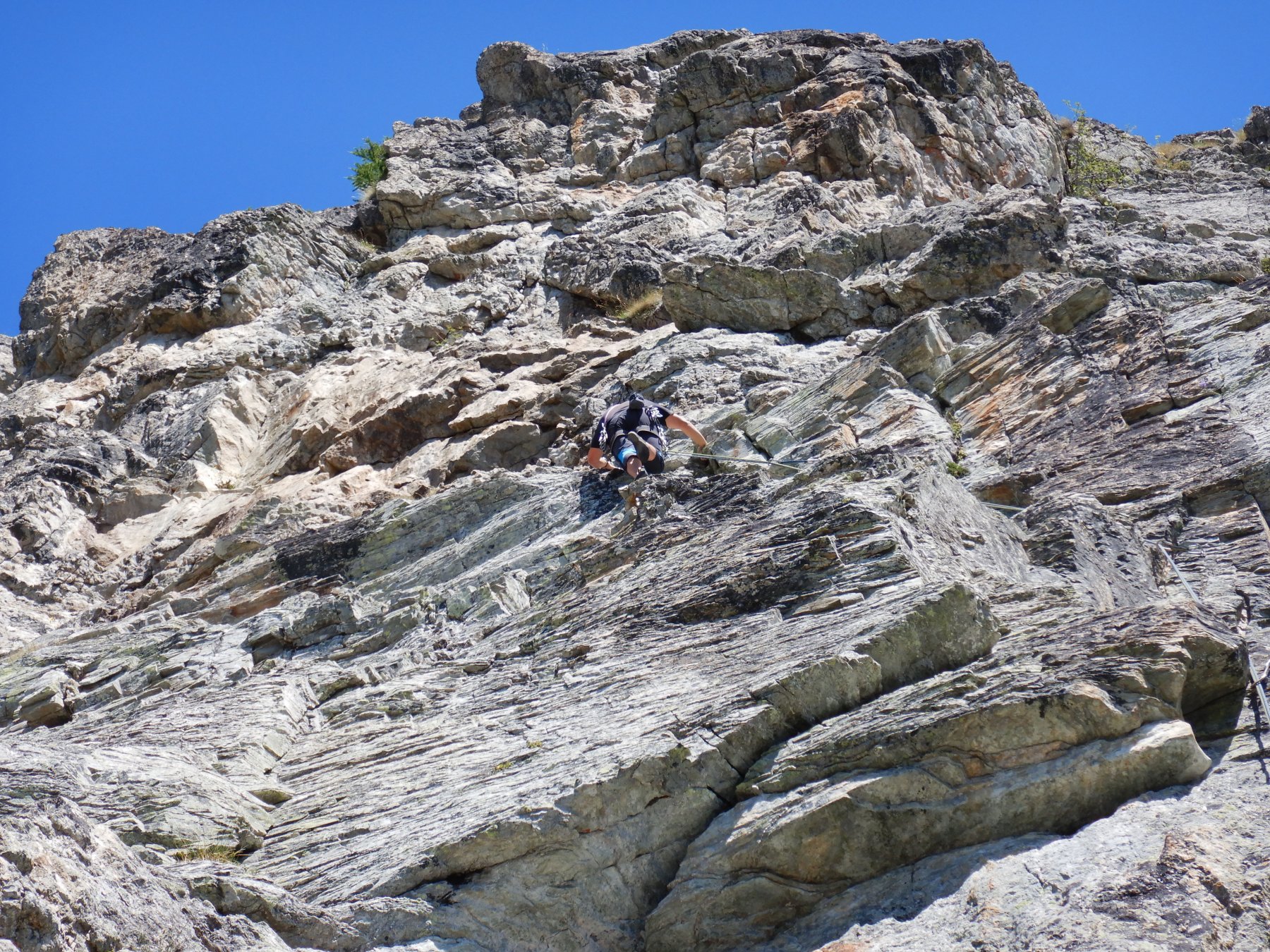
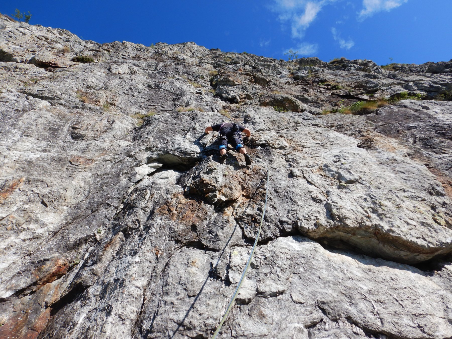
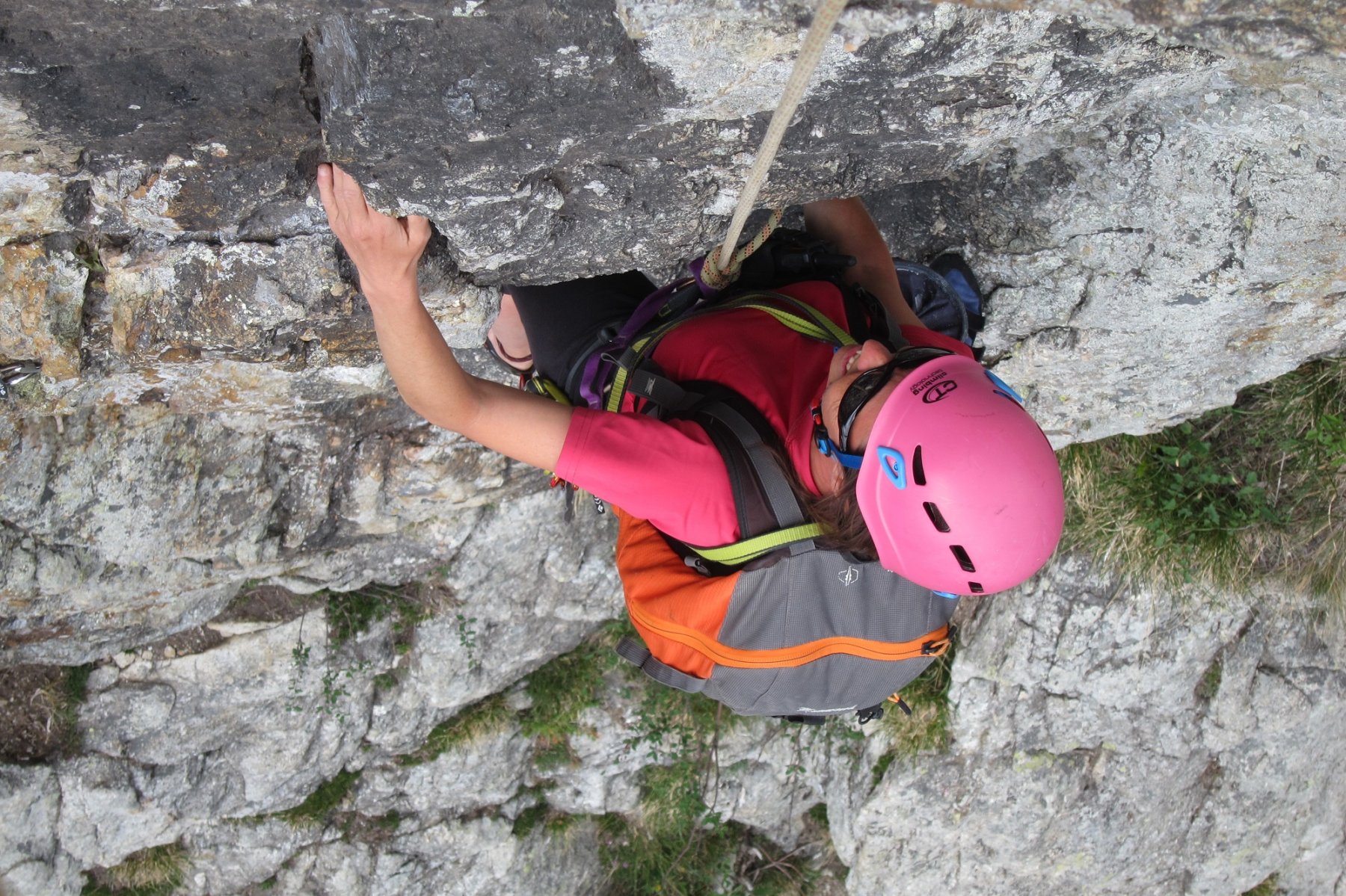
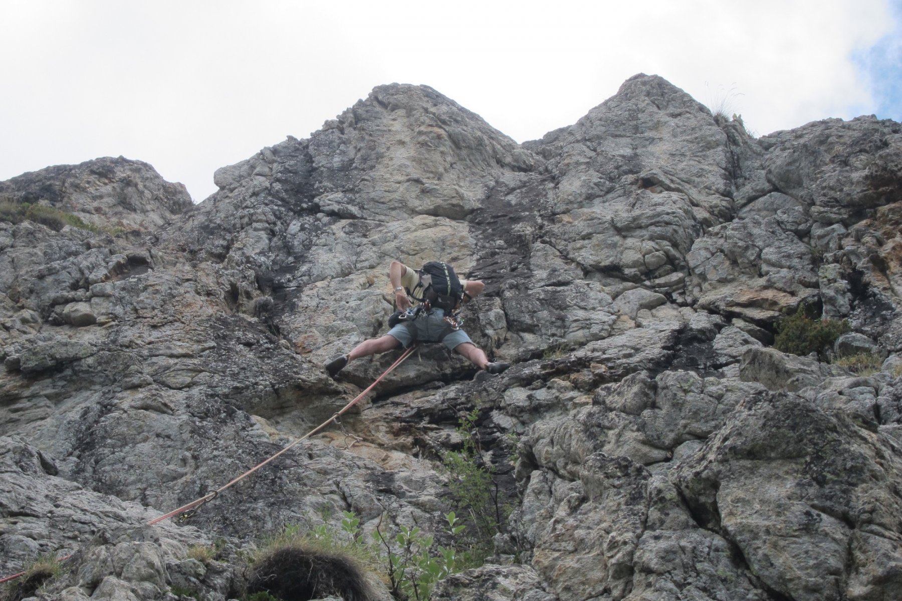
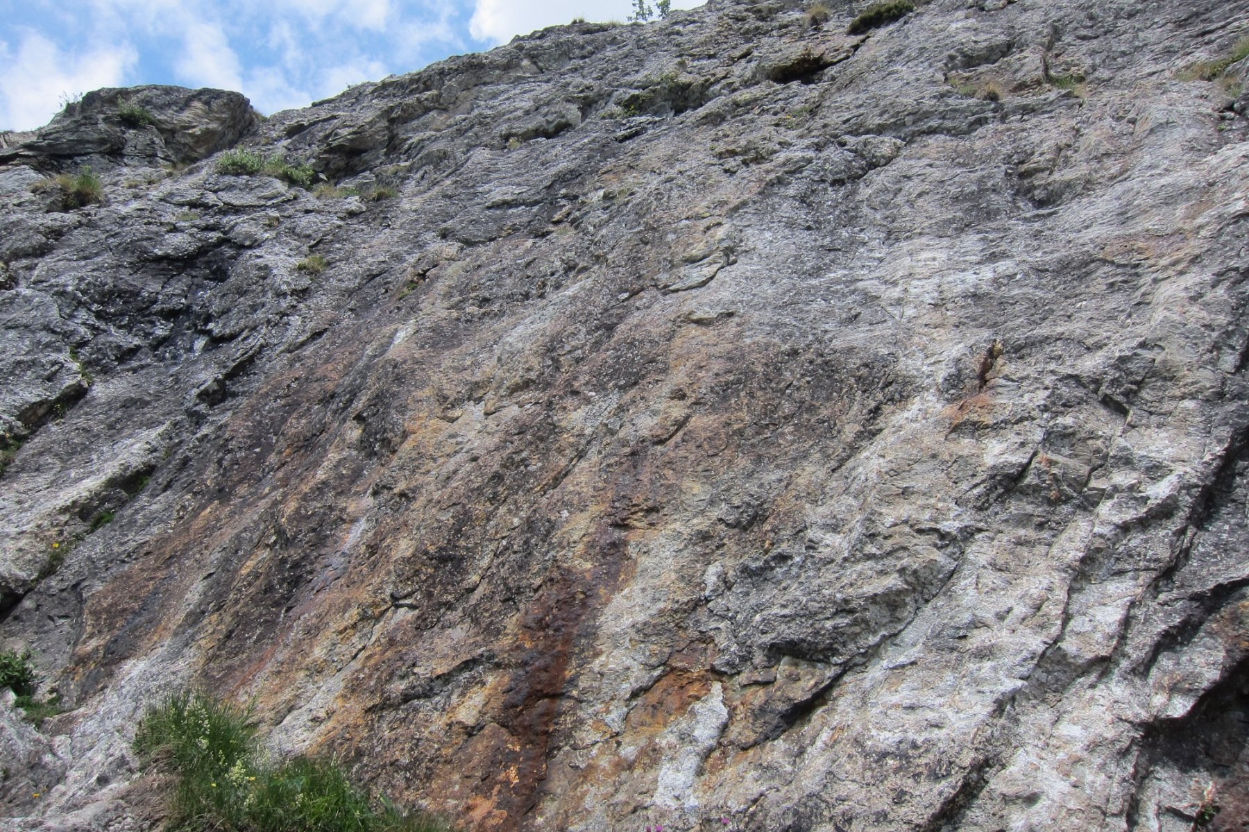
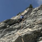
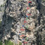
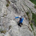
Descrizione
Di qui prendere il sentiero che sale dietro il piccolo chalet della Scuola di sci, alcune catene ed una scaletta portano alla parte pianeggiante del sentiero rivolta verso Courmayeur, continuare fino ad incontrare altre catene in discesa, scendere e dopo una cinquantina di m. si trova un ometto sulla sinistra, di qui salire dritti alla parete verso un muro rosso ben visibile. 45 min.
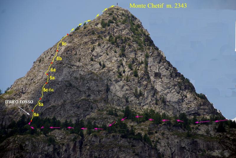
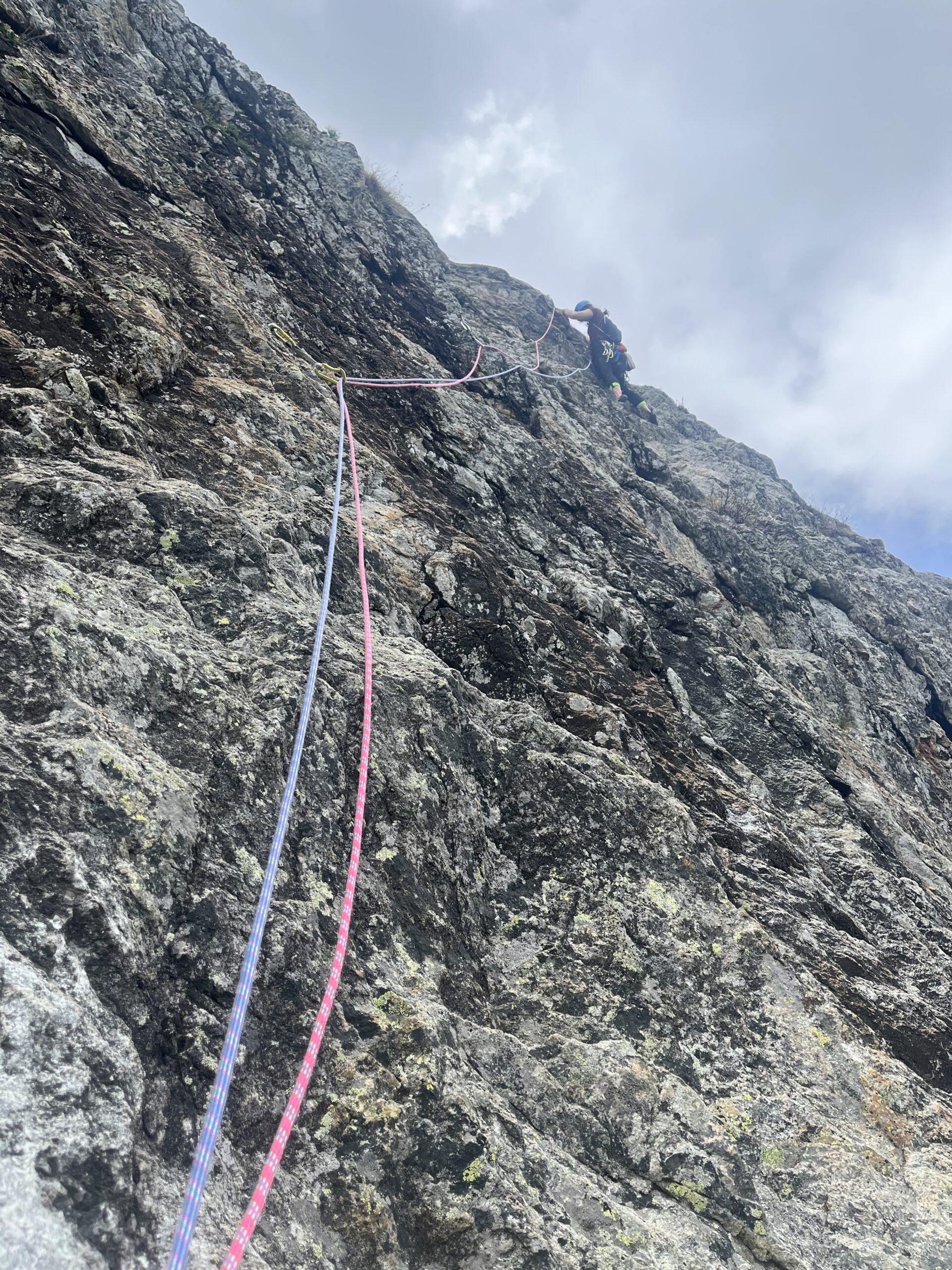
- 5a;
- 5a;
- 5c/6a;
- 5a;
- 6a;
- 5b;
- 5c
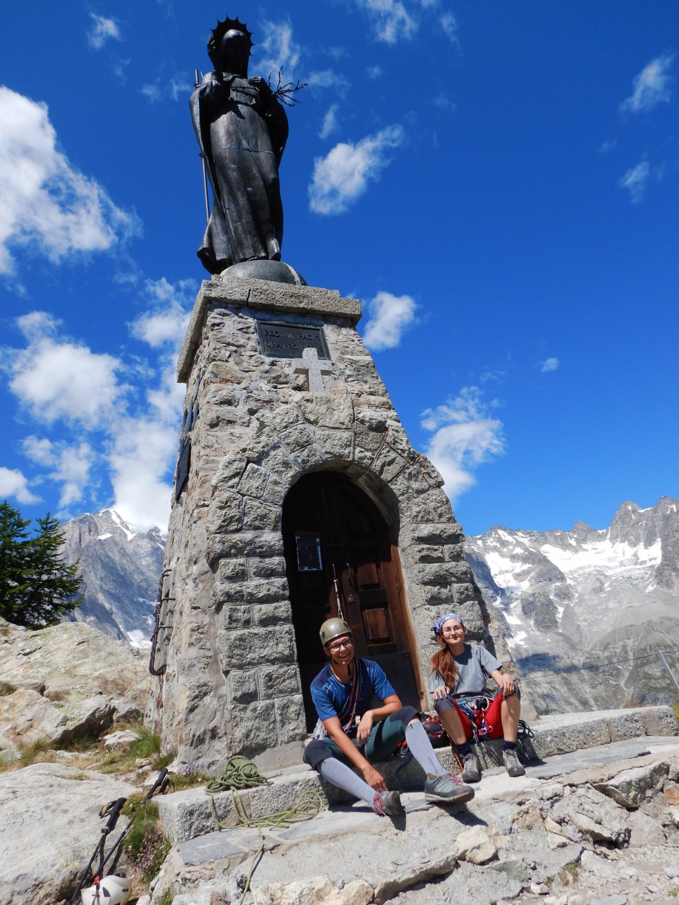
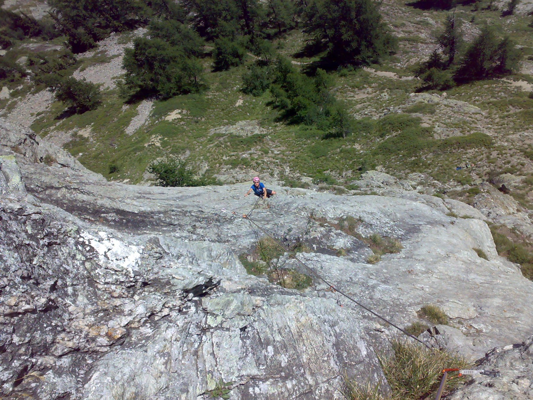
Discesa:
- a) in doppia dalla sosta 7
- b) a piedi sul versante Val Veny (dopo aver raggiunto la cima molto panoramica, salendo per prati 150 m. dalla fine della via) e tornando a Prè de Pascal con sentiero+pista sci.
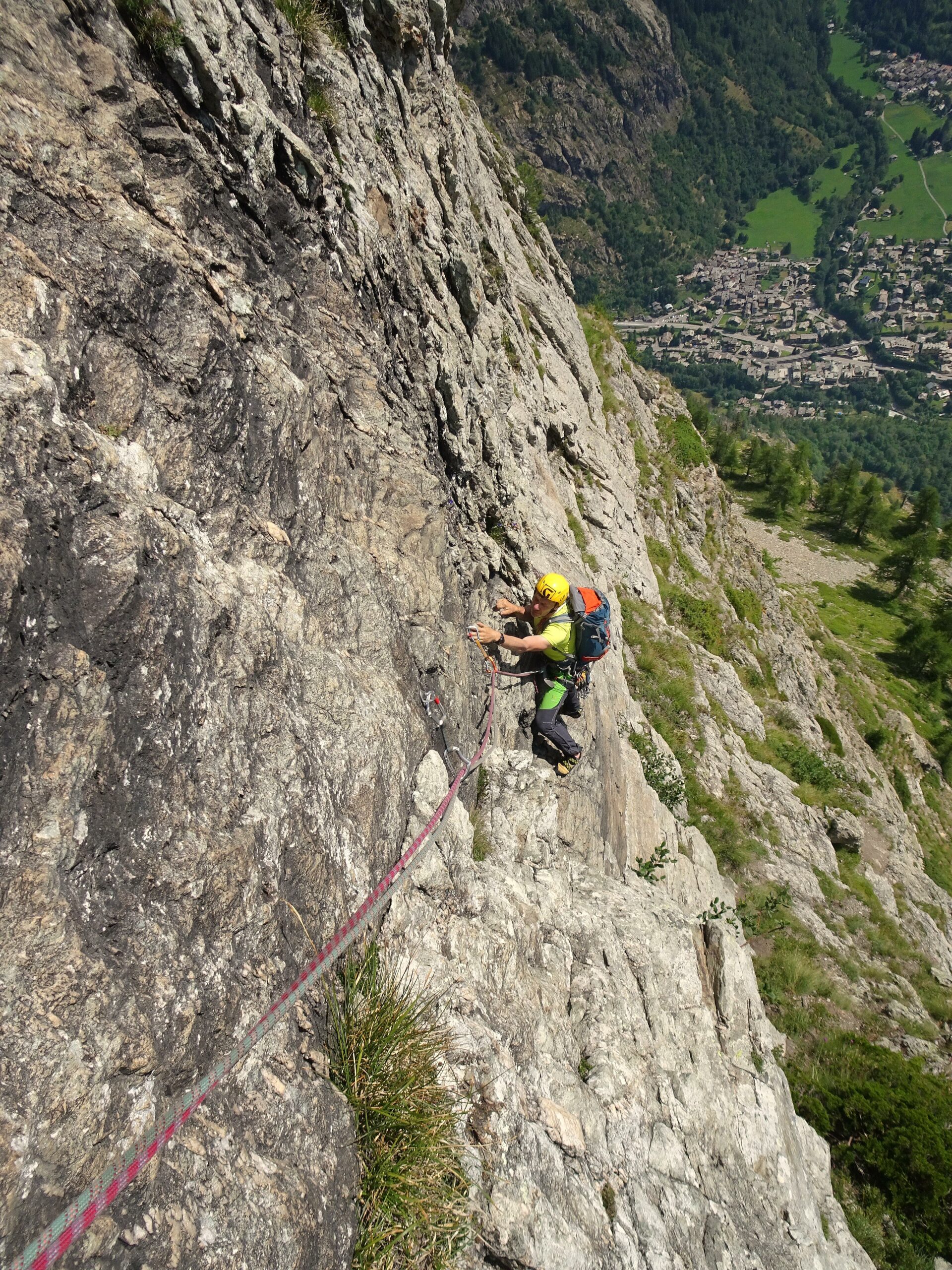
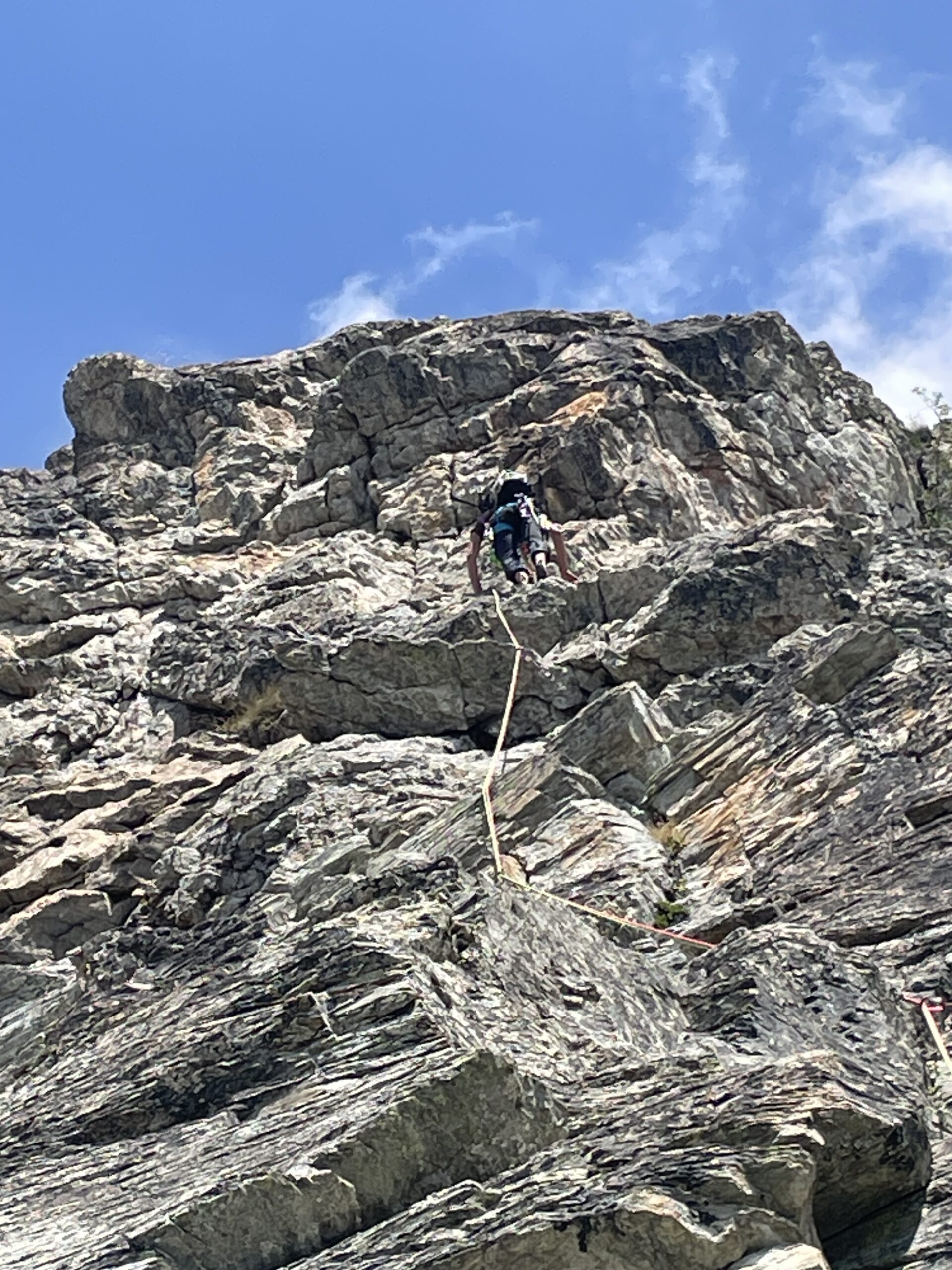
Bella via di Clavel/Pazzolini/Sicouri/Favre(2008/09) su roccia ottima,alcune soste esigue,completamente attrezzata
Nelle vicinanze Mappa
Itinerari
04/10/2025 AO, Courmayeur 6a+, 6a obbl. Sud-Ovest
Chetif (Mont) – Incredulix
100m
08/07/2023 AO, Courmayeur 6b+, 6a obbl. Sud-Est
Chetif (Mont) – Bersagli Mobili
 100m
100m
10/08/2024 AO, Courmayeur 5a, 4 obbl. Sud-Est
Chetif (Mont) – Alisee e gli Amici Canterini
 350m
350m
02/07/2026 AO, Courmayeur 5c, 5a obbl. Nord-Ovest
Chetif (Mont) – 27 Luglio
 350m
350m
20/08/2023 AO, Courmayeur 6a+, 6a obbl. Nord-Est
Chetif (Mont) – Madonna dell’Est o Madonnina
 900m
900m
11/08/2022 AO, Courmayeur 6c, 6a+ obbl. Est
Chetif (Mont) – Punta Rovente
 1Km
1Km
06/06/2024 AO, Courmayeur 6c+, 6b obbl. Ovest
Saxe (Mont de la), Pilastro Bertone – Solo per Vecchi Coglioni
 1.8Km
1.8Km
24/07/2025 AO, Courmayeur 6a+, 5c obbl. Sud
Eveque (Aiguille de l’), contrafforti – Impressioni di Settembre
 1.8Km
1.8Km
31/08/2022 AO, Courmayeur 7a, 6b+ obbl. Ovest
Saxe (Mont de la) – Birintite
 2Km
2Km
04/01/2023 AO, Courmayeur 7a+, 6c obbl. Sud-Ovest
Saxe (Mont de la) – Non Toccatemi il Pilastro
2.1Km