400m
400m

Note
 7.6Km
18.2Km
21Km
25.3Km
26.3Km
27.7Km
28.1Km
7.6Km
18.2Km
21Km
25.3Km
26.3Km
27.7Km
28.1Km
400m
400m
1.5Km
3.2Km
3.6Km
3.7Km
3.7Km
5.1Km
5.5Km
6.6Km
La pista ha ospitato le Olimpiadi Invernali di Torino 2006. Altre info sul sito del comune di Pragelato http://www.comune.pragelato.to.it/index.php/home.html o su quello degli attuali gestori www.pragefondoe20.com
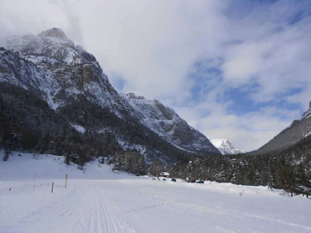
Per arrivare al Centro Fondo, da Pragelato, si segue la SS23 verso il Sestriere fino ad una rotonda con le indicazioni fuori dall'abitato di Traverses.
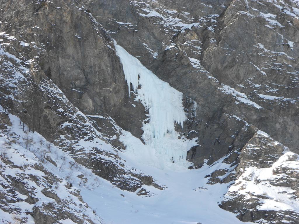
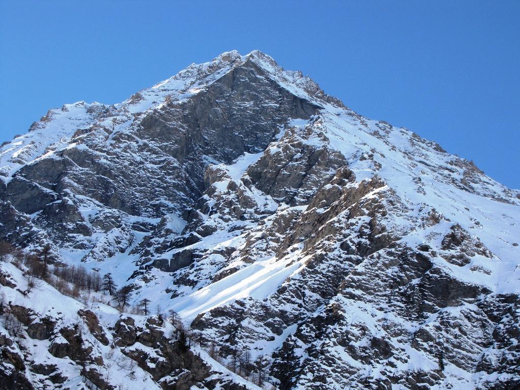
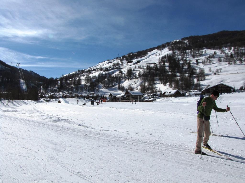
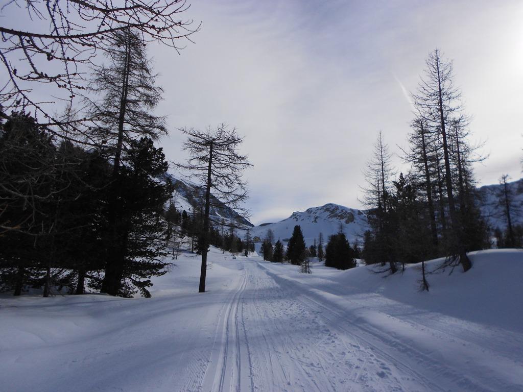
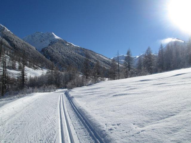
Descrizione
Per arrivare al Centro Fondo, da Pragelato, si segue la SS23 verso il Sestriere fino ad una rotonda con le indicazioni fuori dall'abitato di Traverses.
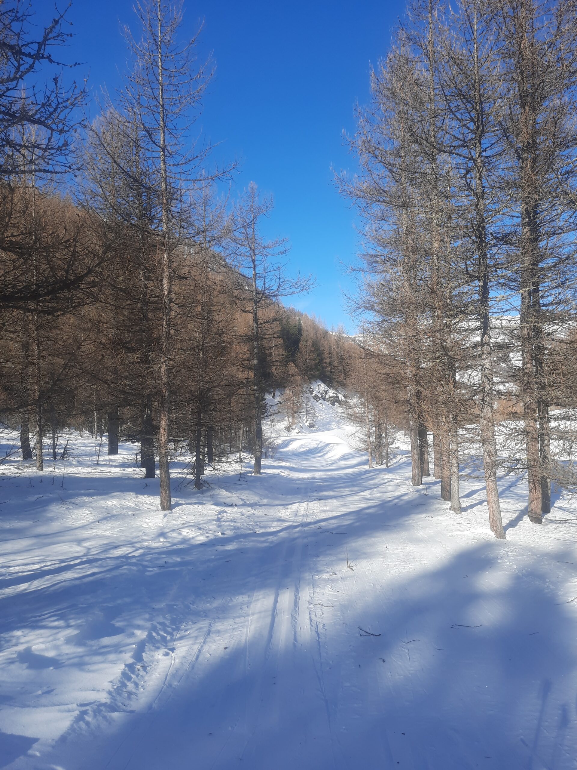
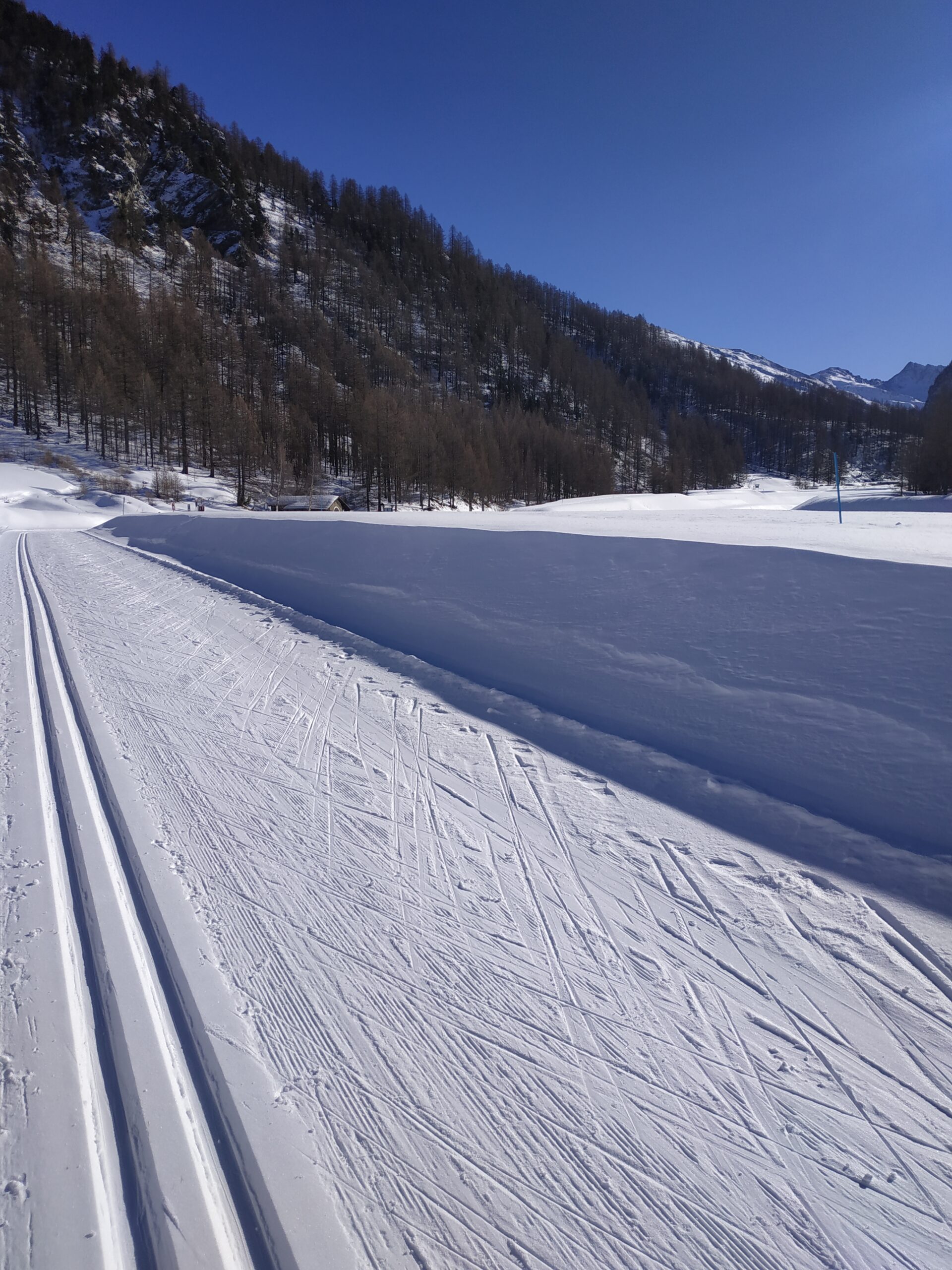
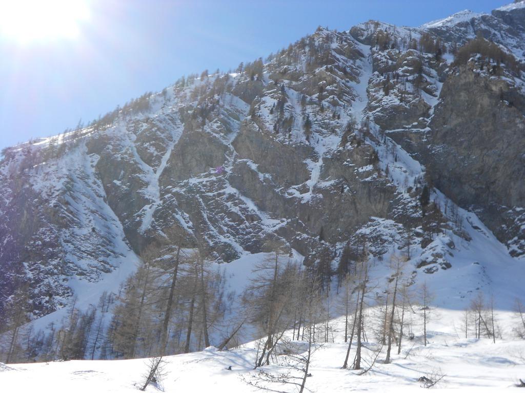
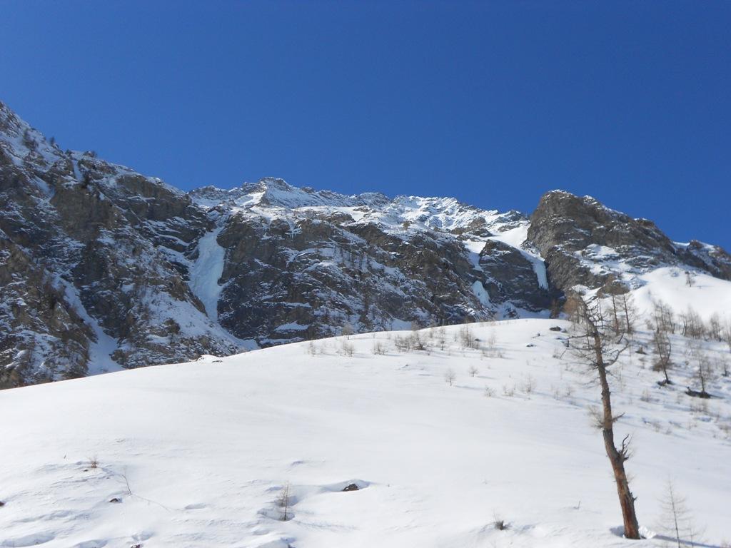
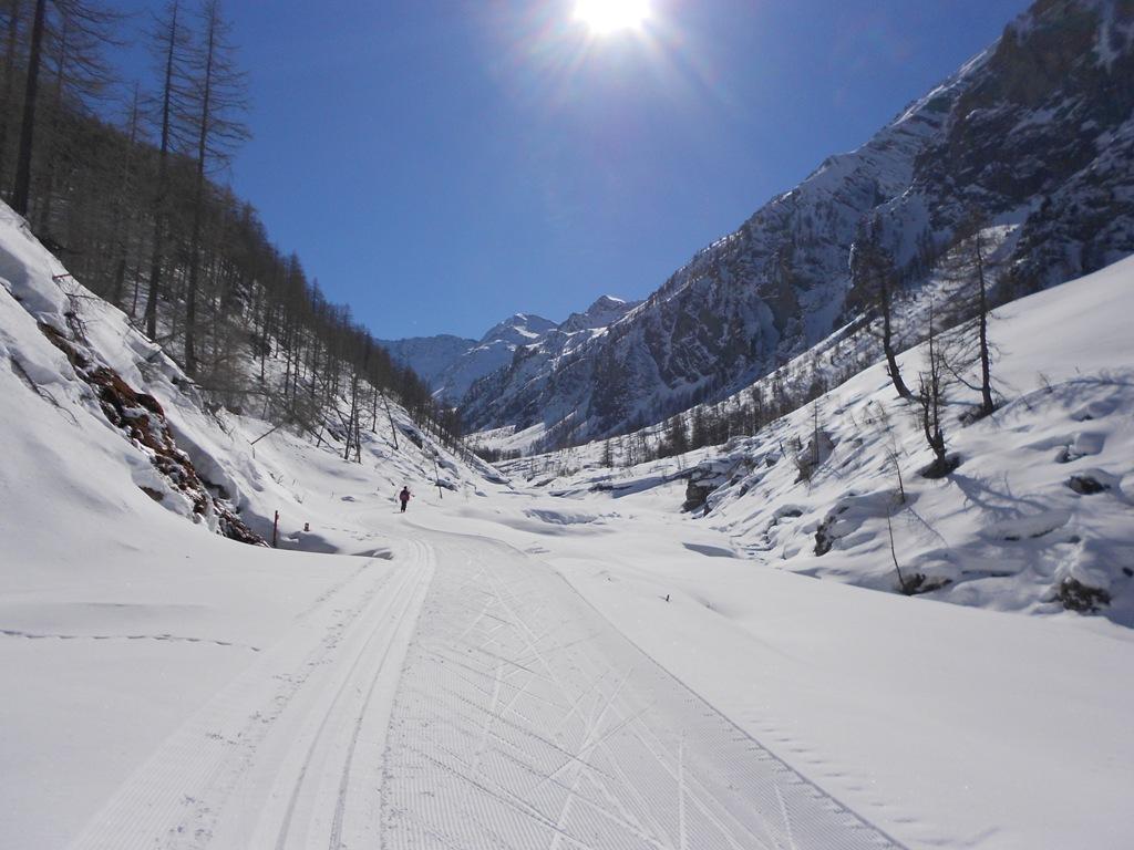
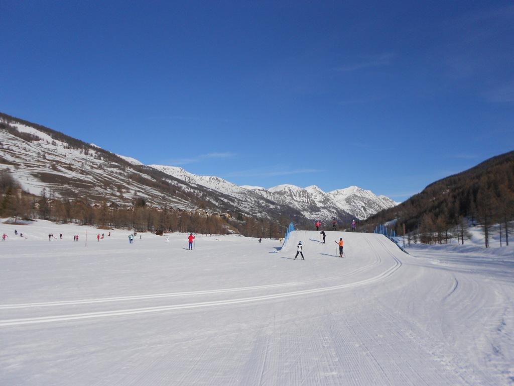
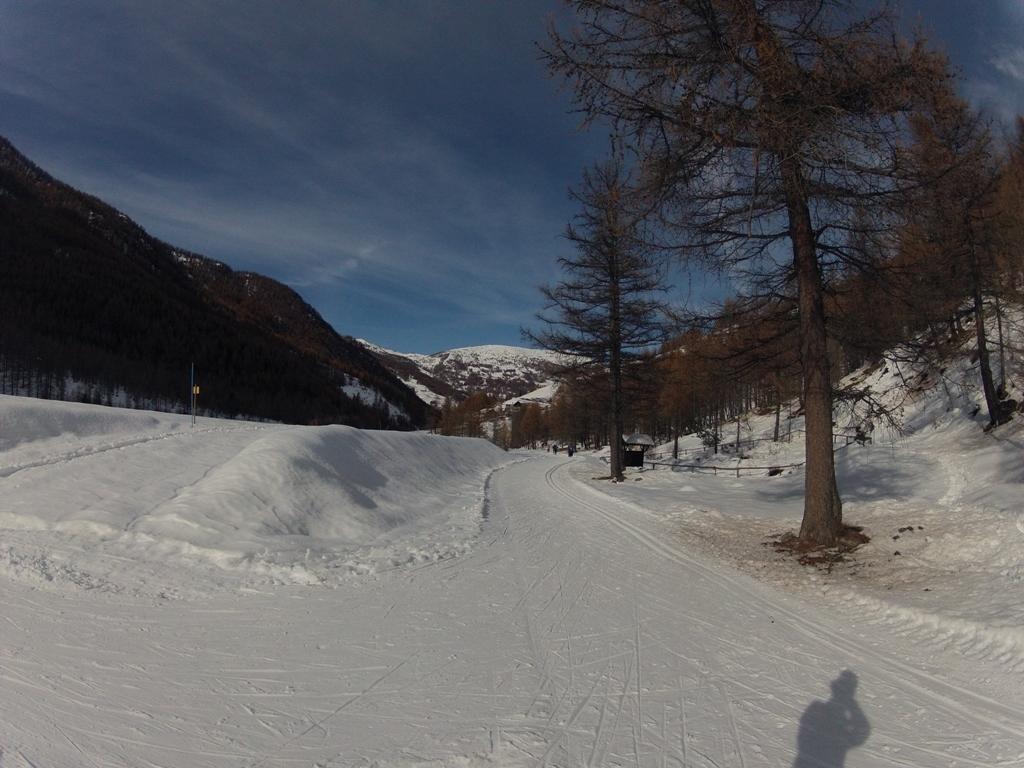
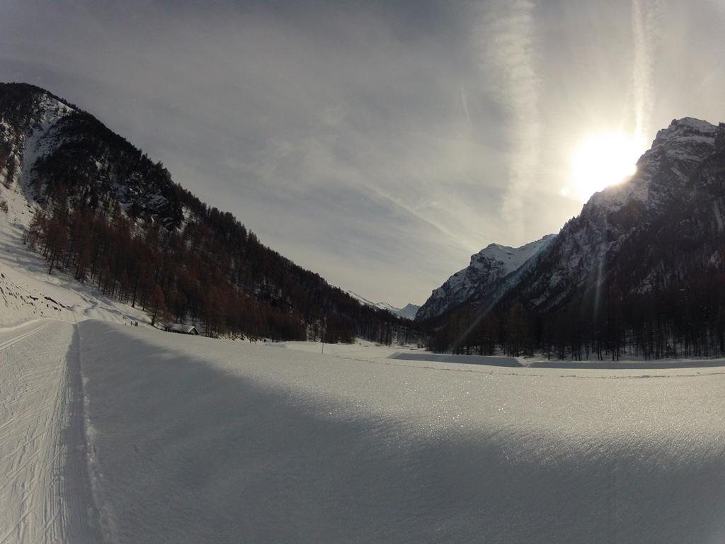
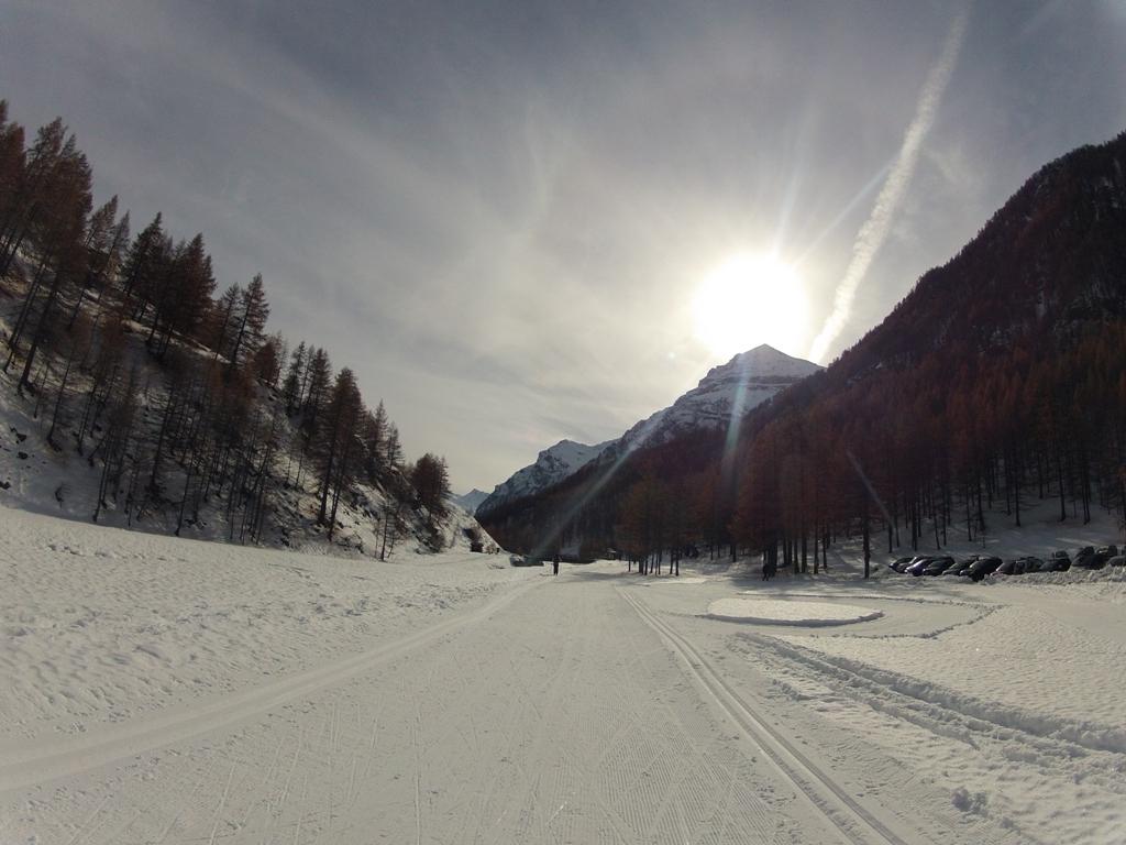
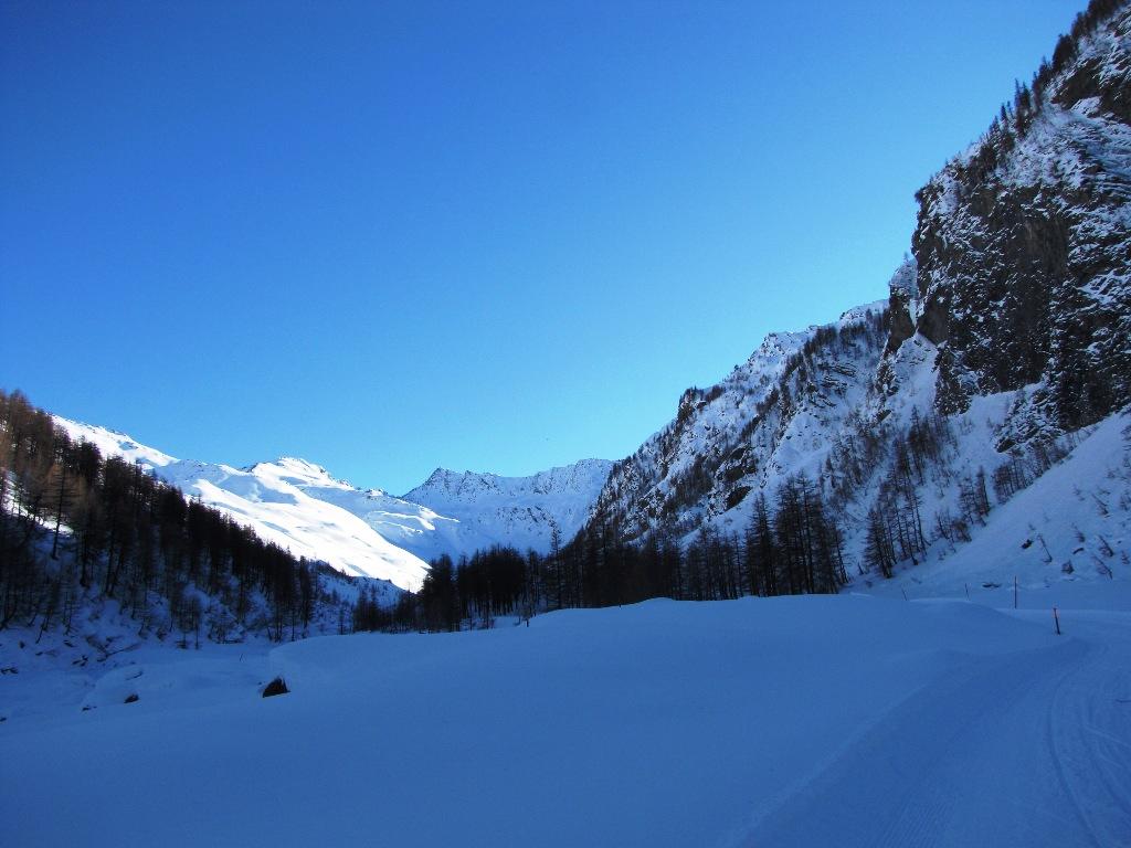
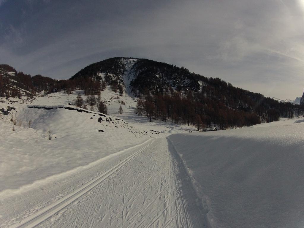
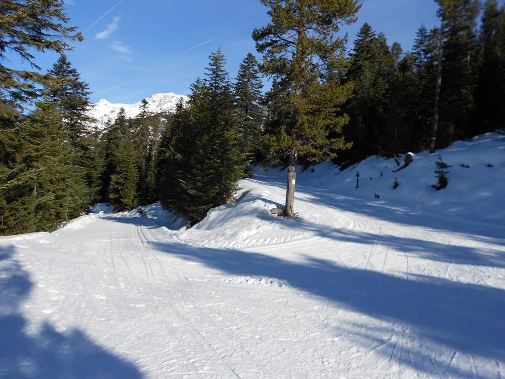
La pista si sviluppa per 37 km lungo il corso del torrente Chisone e dispone sia di una parte tecnica-olimpica, in frazione Plan nei pressi del Centro fondo e della scuola Sci, sia di una turistica, che passa dalla zona adiacente ai trampolini del salto sino alla Bergeria del Meys a 2045m.
La pista olimpica consiste in un anello di 10 km predisposti per l’innevamento artificiale; la pista turistica si divide in una parte basse di 12 km, dalla frazione Grange sino a quella di Pattemouche passando per Plan e Traverses, e una alta, dal Pount das Itrei sino ai 2045m dell’Alpe del Meys.
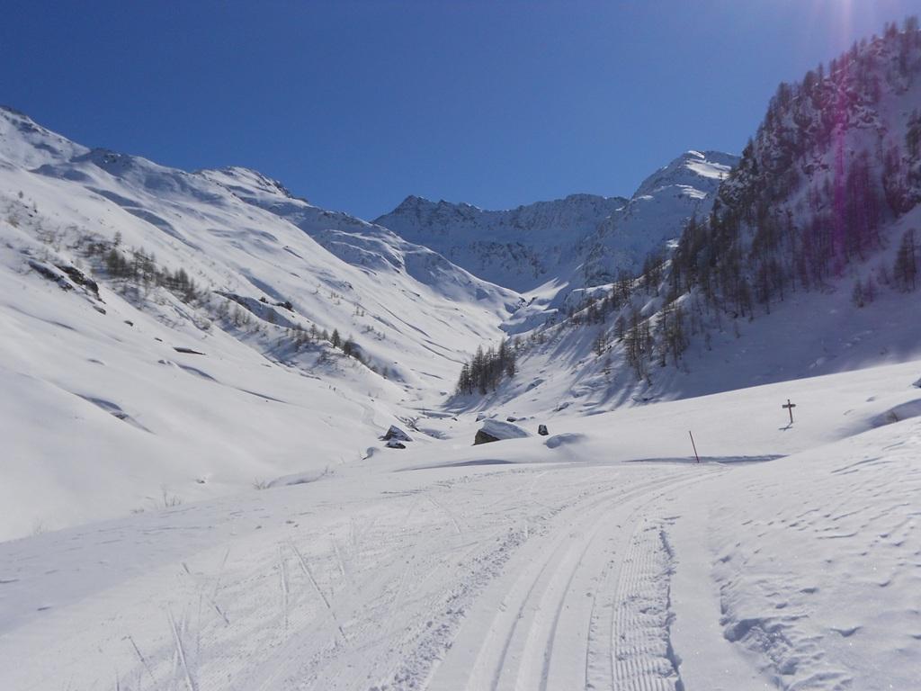
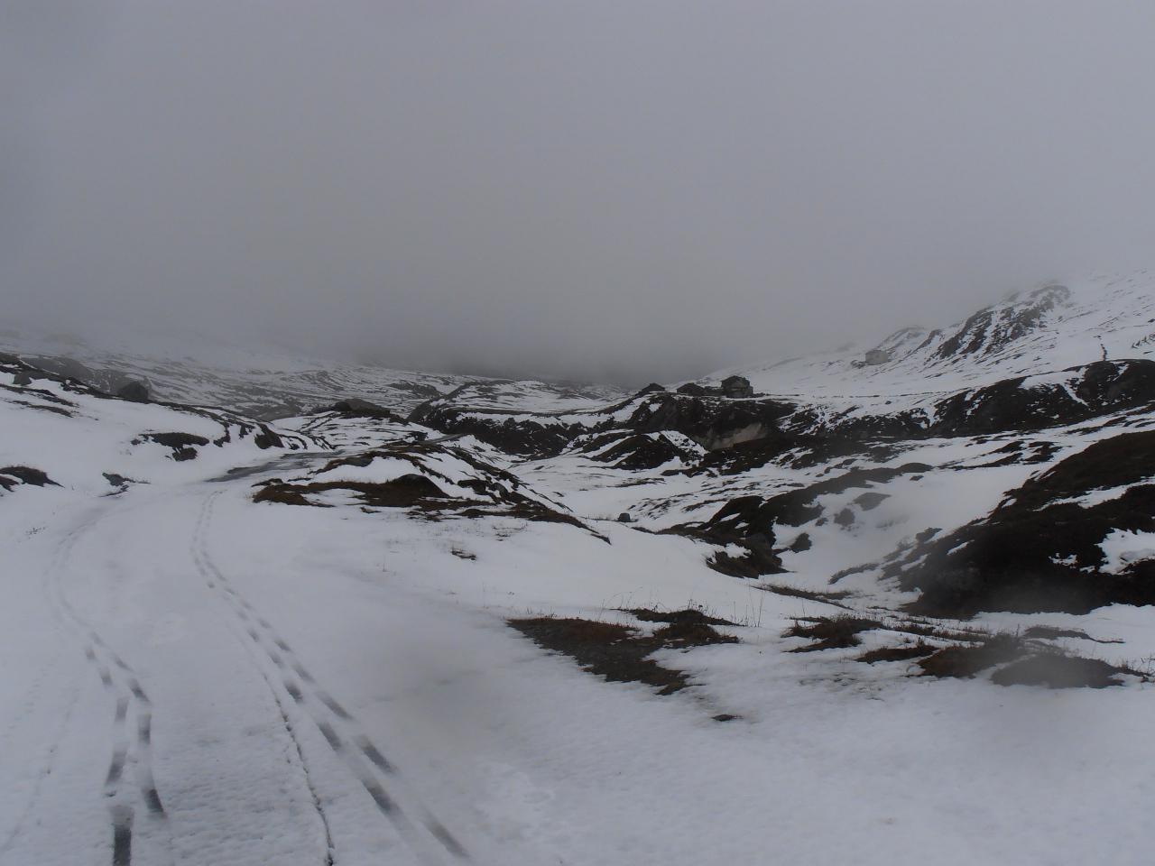
L’ultima parte della pista turistica alta dalla località Fournet, 16500m ca, all’Alpe Meys è solitamente chiusa quando il pericolo valanghe supera il livello 3-marcato.
Costo skipass intero (2012/13): 8.50€.
Nelle vicinanze Mappa
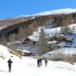
Itinerari
12/12/2021 TO, Cesana Torinese Rossa Sud
Rotta (Monte) Pista da Fondo
 7.6Km
7.6Km
16/01/2011 TO, Cesana Torinese 20 Km Nera Varie
Chabaud (Grange) da Bousson
13.1Km
17/03/2024 TO, Prali 15 Km Rossa Nord
Prali pista fondo
 18.2Km
04/01/2015 Hautes-Alpes, Montgenèvre Rossa Nord
Bois de Sestrieres Claviere – Monginevro piste da Fondo
 21Km
21Km
02/01/2022 Savoie, Val-Cenis 13 Km Nera Sud-Est
Petit Mont Cenis (Col du) da Pian San Nicolao
 25.3Km
26/02/2022 Hautes-Alpes, Cervières 42 Km Tutte Nord
Izoard (Col de l’) Piste di Fondo di Cervières
 26.3Km
30/01/2018 Hautes-Alpes, Montgenèvre Tutte Varie
La Vachette – Les Alberts – Le Rosier – Val des Prés. Site Nordique Val Clarée
27.3Km
07/01/2023 Hautes-Alpes, Château-Ville-Vieille 120 Km Tutte Tutte
Queyras piste di fondo di Ceillac, Molines, Saint Veran, Abries, Ristolas, Arvieux
 27.7Km
20/03/2016 TO, Bardonecchia Rossa Sud-Est
Grange di Valle Stretta e Piste di Pian del Colle Pian del Colle
 28.1Km
Servizi
400m
400m
Al Mulino Ristorante
Pragelato
1.5Km
Mulino di Laval Rifugio
Pragelato
3.2Km
Refugium – ex. Rif. Belotte Rifugio
Pragelato
3.6Km
Casa degli Escartons Alex Berton B&B
Pragelato
3.7Km
Casa Alpina Rifugio
Pragelato
3.7Km
Passet Ristorante
Pragelato
5.1Km
L’itialette Ristorante
Pragelato
5.5Km
Troncea Rifugio
Pragelato
6.6Km