4Km
4Km
Note
Avvicinamento
Storico
 2.1Km
2.2Km
4.1Km
5Km
5Km
5.3Km
5.3Km
5.3Km
5.6Km
6Km
2.1Km
2.2Km
4.1Km
5Km
5Km
5.3Km
5.3Km
5.3Km
5.6Km
6Km
4Km
4Km
4Km
4Km
5.2Km
5.4Km
6.8Km
6.9Km
6.9Km
7.5Km
Statale per Cesana, bivio per Fenils quindi strada sterrata fino a Pra Claud.
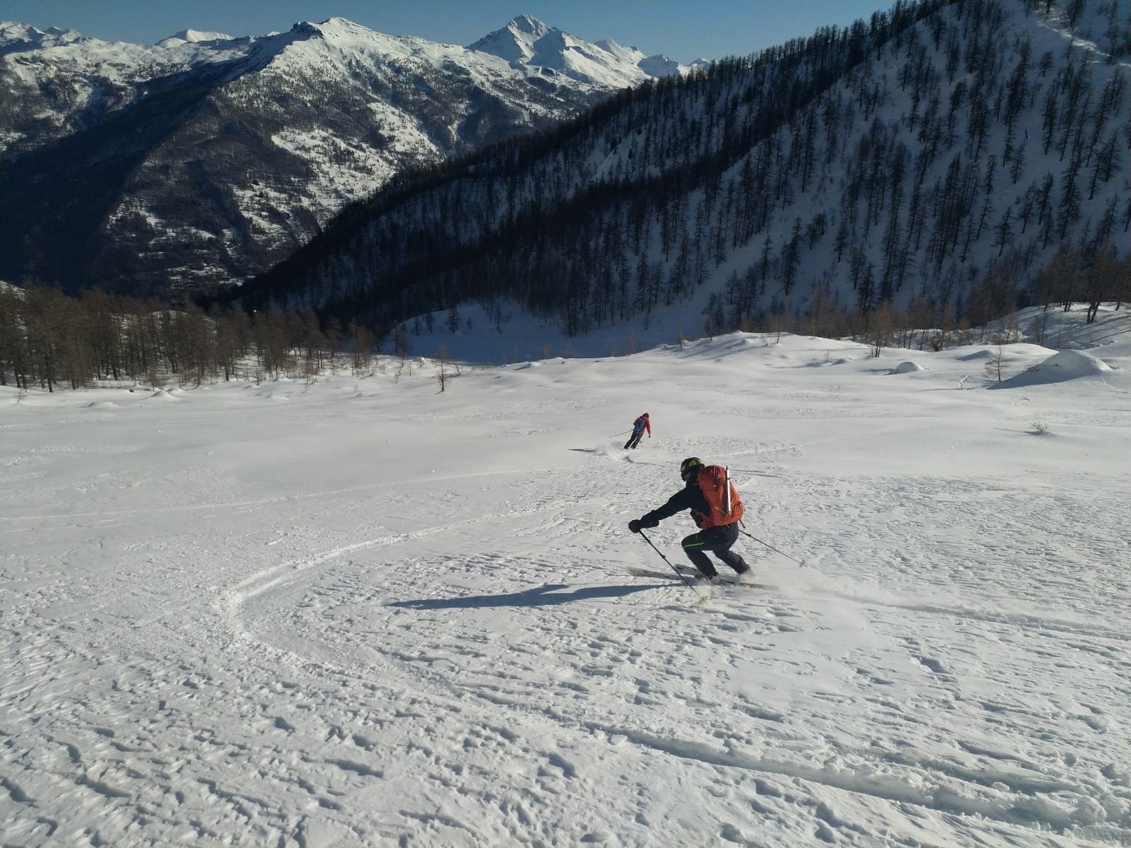
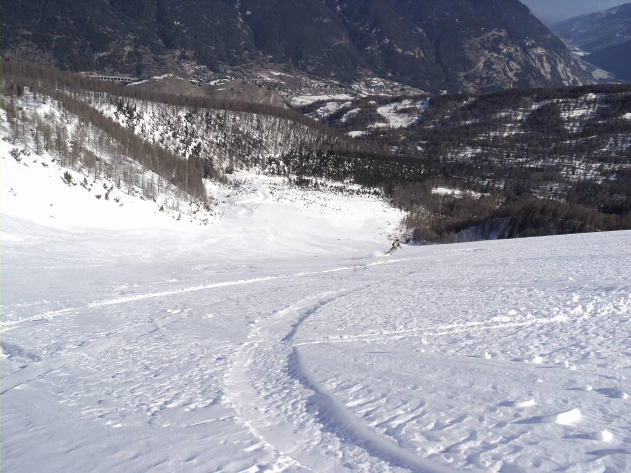
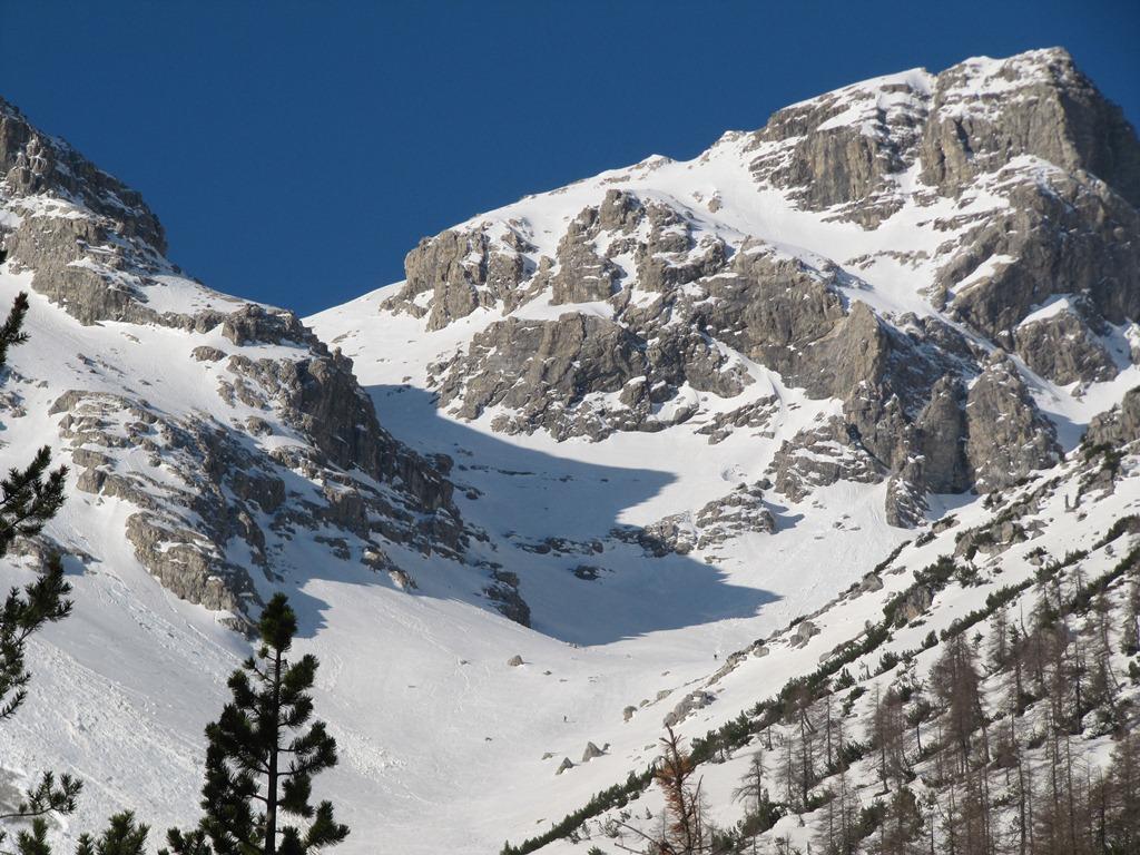
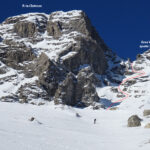
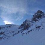
Descrizione
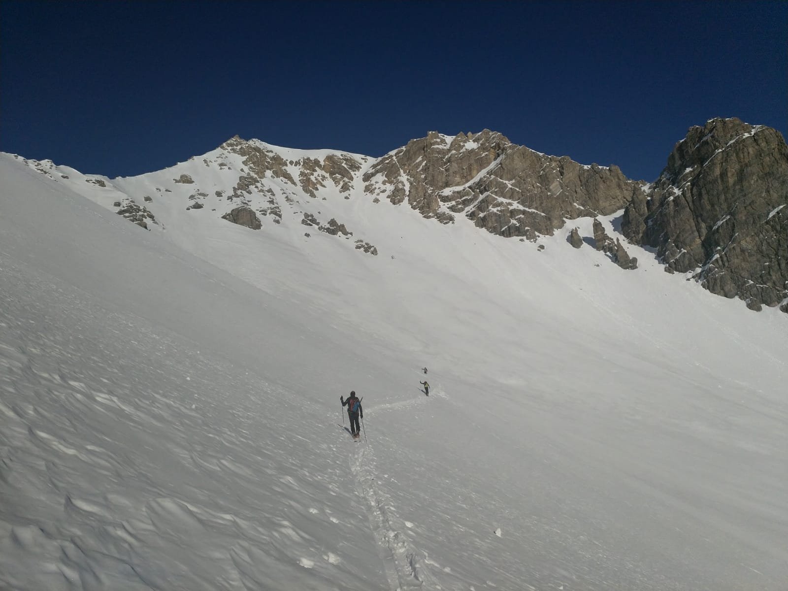
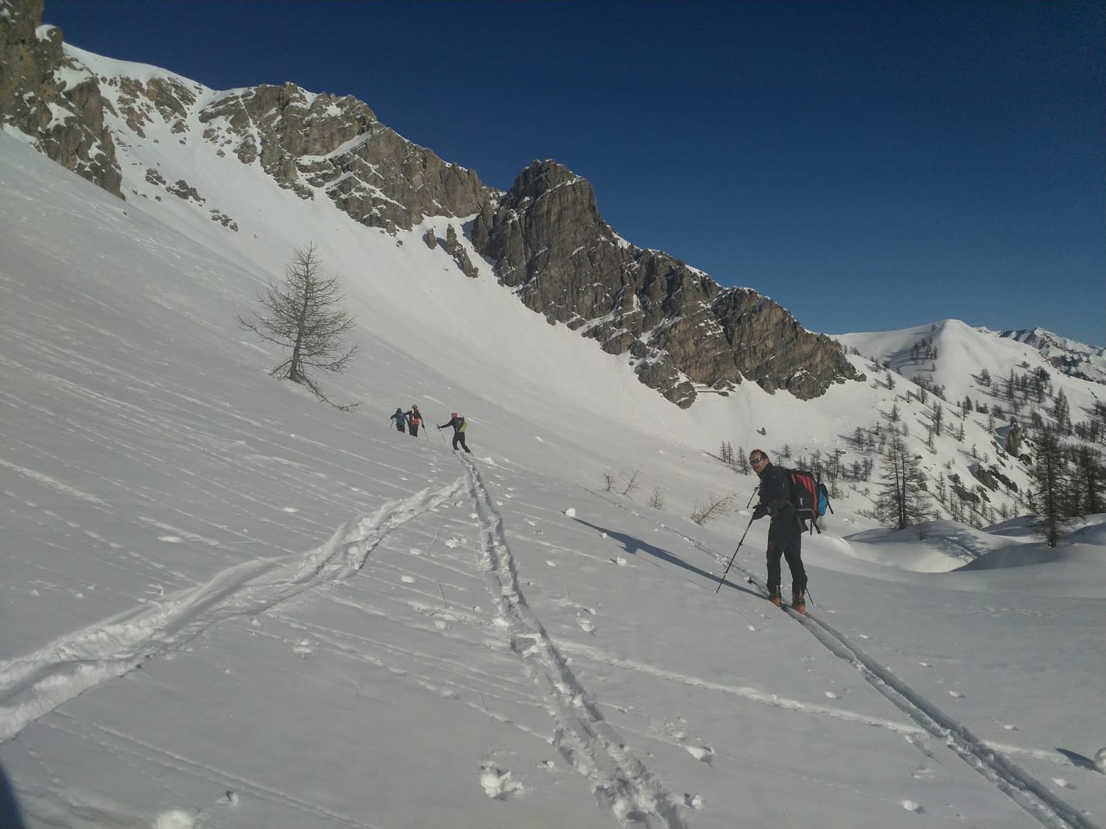
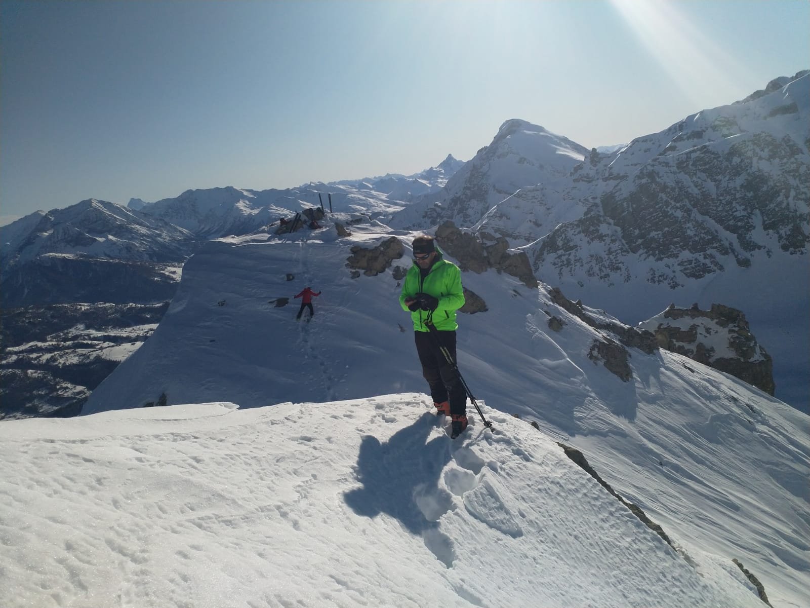
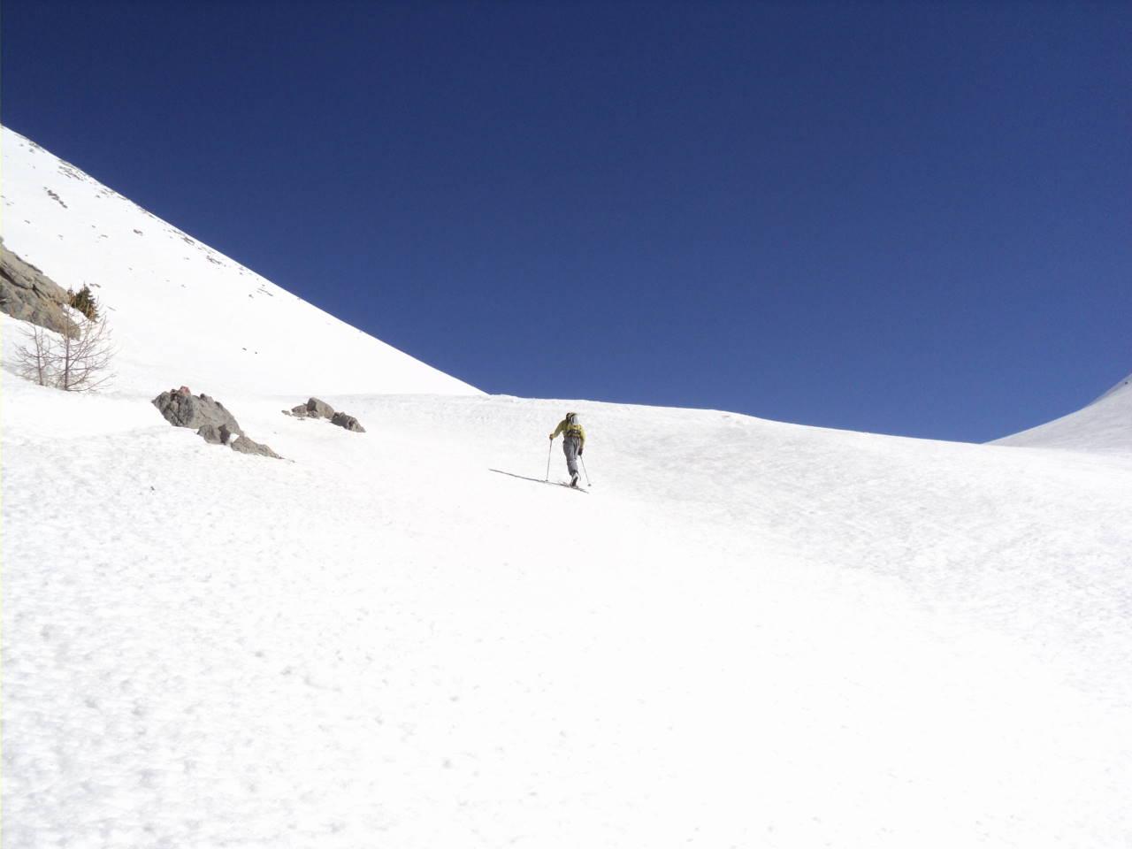
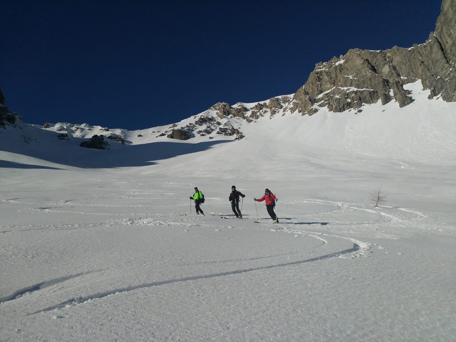
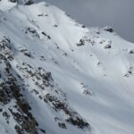
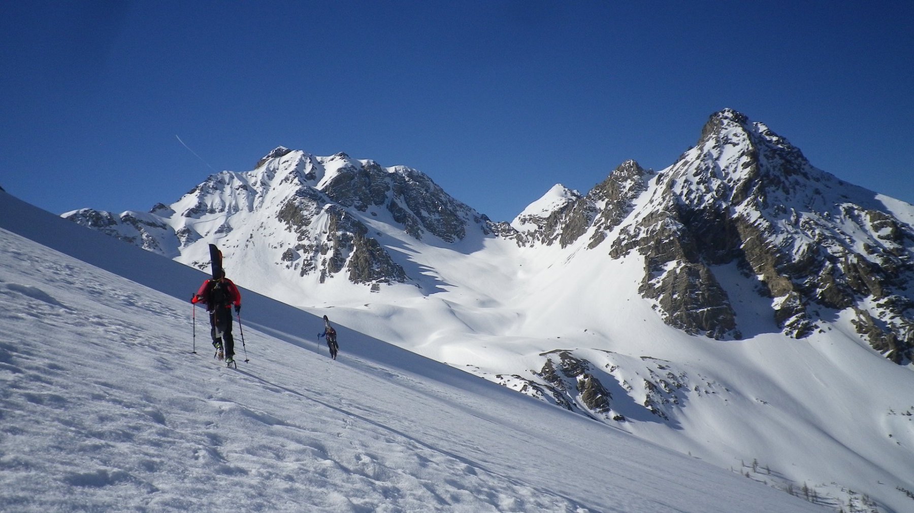
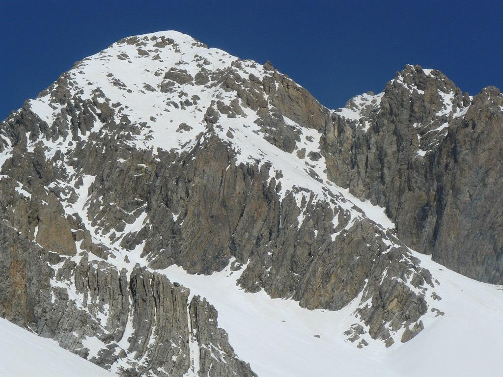
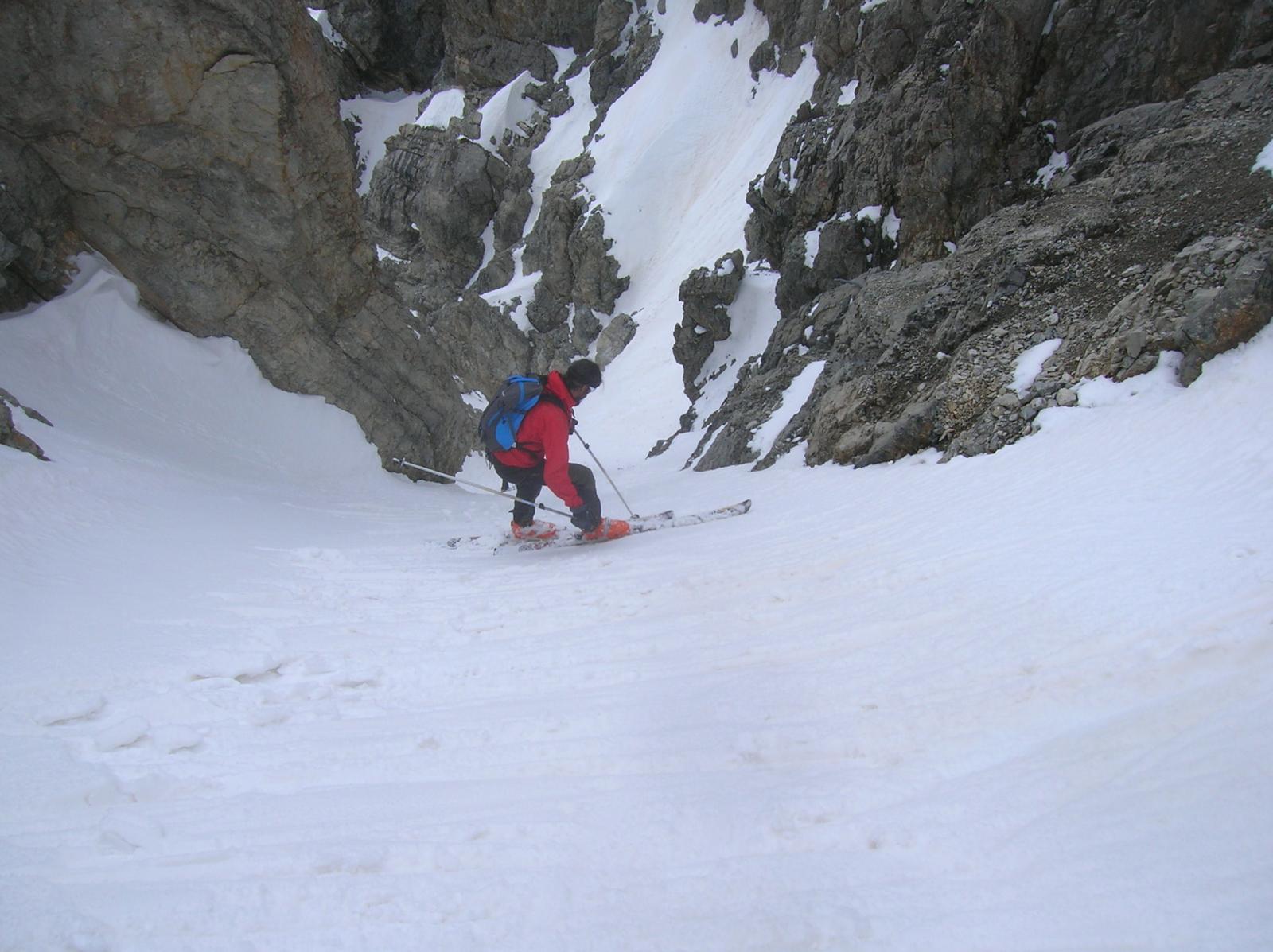
Si parte da Pra Claud e si sale all’insellatura a monte della punta Gardiol. Di qui con lungo traverso ascendente si passa sotto il passo di Desertes fino a giungere presso le rocce della cresta sud della Clotesse.
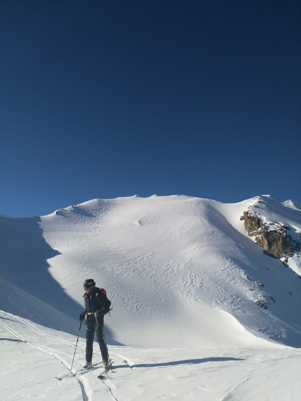
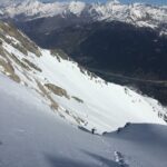
A questo punto si devia decisamente a sin per salire il pendio canale.
Questo canale detto "degli orsi" era già stato disceso il 17/02/2008 da Savoja-Chiesa-Vagnone e valutato 4.2/4.3 E3 con un breve tratto a 50°.
- Bibliografia:
- alpi cozie settentionali cai-tci it 45b
Nelle vicinanze Mappa
Itinerari
12/04/2014 TO, Cesana Torinese D+ 1600 m III, 3.3, E2 Tutte
Clotesse (Punta) Canale SO
 2.1Km
2.1Km
05/05/2024 TO, Cesana Torinese D+ 1330 m II, 4.3, E1 Nord-Est
Chalanche Ronde (Pointe de) Parete Nord
 2.2Km
2.2Km
01/04/2021 TO, Cesana Torinese D+ 1485 m IV, 4.3, E4 Nord-Est
Boucher (Roc del) parete NE
 4.1Km
4.1Km
09/04/2023 TO, Oulx D+ 1400 m II, 4.2, E2 Est
Gros Vallon (Punta) quota 2780 m Canale Est
 5Km
5Km
07/03/2026 TO, Oulx D+ 1600 m I, 3.3, E1 Est
Grand’Hoche da Chateau Beaulard per la Canala, la Sella du Gros Vallon e il versante SE
 5Km
5Km
17/04/2017 TO, Oulx D+ 2550 m III, 4.3, E3 Varie
Chalanche Ronde (Pointe de) couloir NO, Roche des Pres couloir E e Pointe du Gros Vallon versante Ovest da Chateau Beaulard
 5.3Km
5.3Km
01/03/2012 TO, Oulx D+ 1850 m 4.2, E3 Tutte
Clotesse (Punta) Traversata da Chateau Beaulard per il Passo dell’Orso
 5.3Km
5.3Km
06/03/2025 TO, Oulx D+ 1504 m II, 4.2, E3 Nord-Est
Clotesse (Punta) Rampe Nord-Est
 5.3Km
5.3Km
17/02/2024 TO, Claviere D+ 1380 m 4.3, E3 Sud-Est
Chaberton (Monte) Versante Sud-Est
 5.6Km
5.6Km
06/04/2014 TO, Claviere D+ 1380 m III, 4.3, E3 Sud
Chaberton (Monte) Versante Sud – variante uscita di sicurezza
 6Km
6Km
Servizi
4Km
4Km
Casa Cesana Bar
Cesana Torinese
4Km
L’Ibarus Rifugio
Cesana Torinese
4Km
Piergiorgio Frassati B&B
Cesana Torinese
5.2Km
L’Eitabl Ristorante
Oulx
5.4Km
La Chardouse Rifugio
Oulx
6.8Km
La Moretta Ristorante
Oulx
6.9Km
Guido Rey Rifugio
Oulx
6.9Km
Dell’Orsa Bar
Oulx
7.5Km