3Km
3Km
Avvicinamento
 50m
1.7Km
2.6Km
2.6Km
2.6Km
2.6Km
2.6Km
2.6Km
3.1Km
50m
1.7Km
2.6Km
2.6Km
2.6Km
2.6Km
2.6Km
2.6Km
3.1Km
3Km
3.4Km
5.1Km
5.1Km
5.1Km
6.3Km
6.3Km
6.3Km
6.4Km
8.2Km
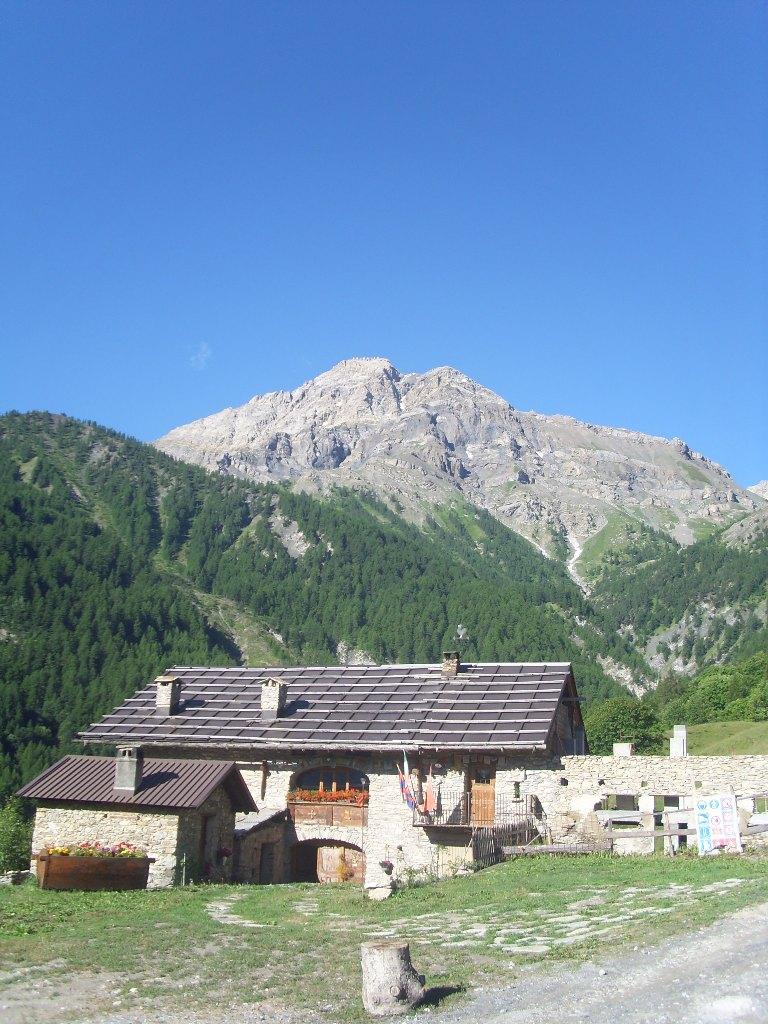
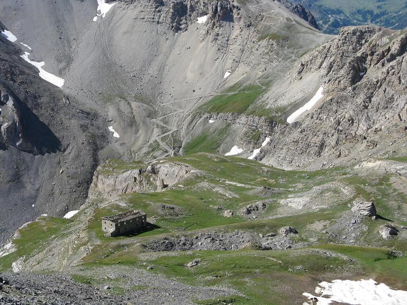
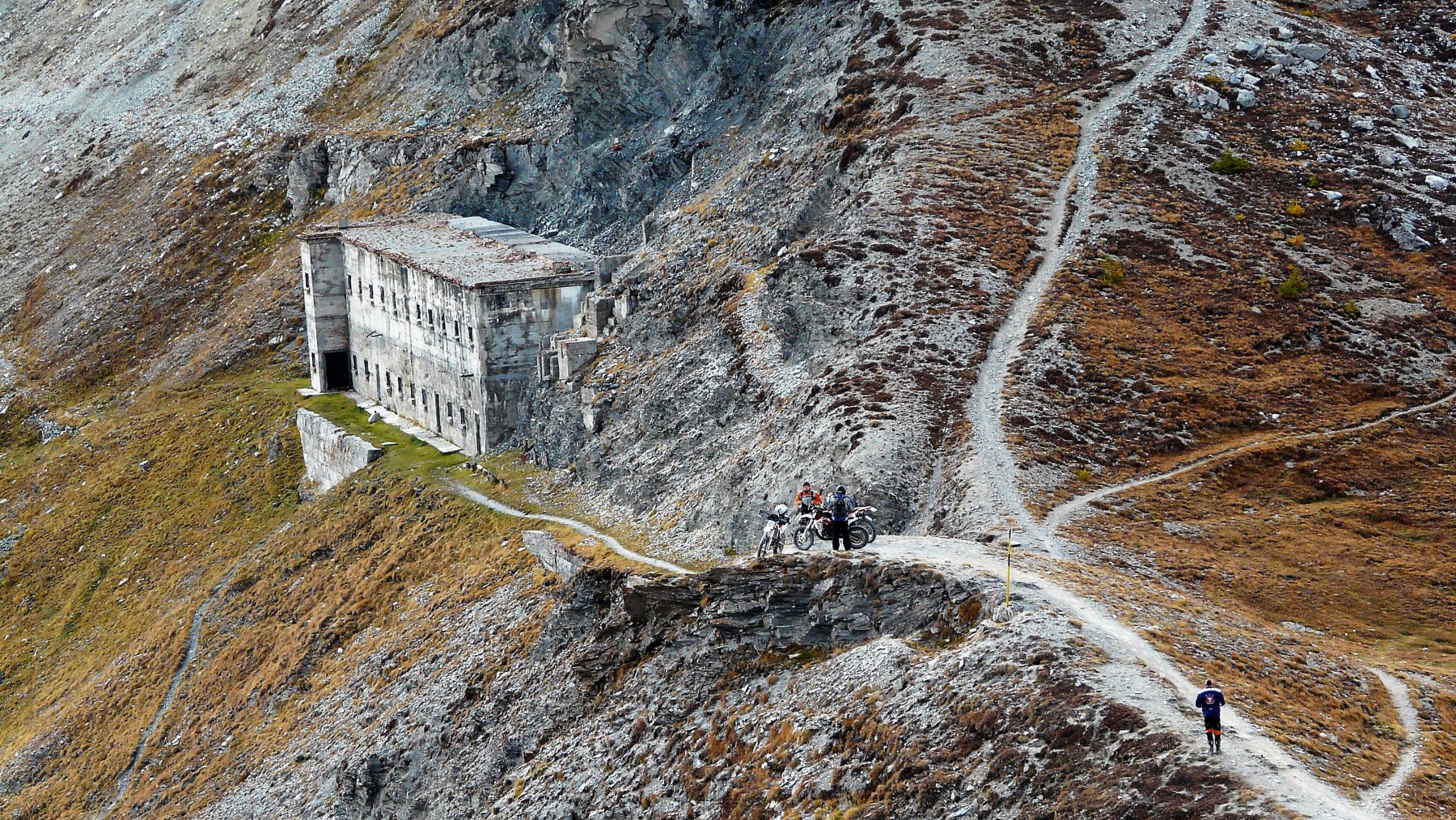
da Oulx seguire le indicazioni per la Madonna del Cotolivier. La strada diventa sterrata oltre la frazione Vazon, solitamente in discrete condizioni ma variabili in base alle annate e al periodo. Si prosegue ignorando il bivio per la cappella del Cotolivier, parcheggiando nei pressi di Pourachet o dove lo consente la strada.
Descrizione
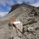
Seguire la sterrata per un breve tratto e poi seguire il sentiero. Si incontra il bivio per il Passo Desertes. Continuare sempre verso Sud e raggiungere il colletto ad Ovest della Punta Gardiol. Innalzarsi ora in pieno Ovest seguendo una esile traccia che risale il ripido pendio erboso detritico che conduce faticosamente al Passo dell’Asino, m. 3009.
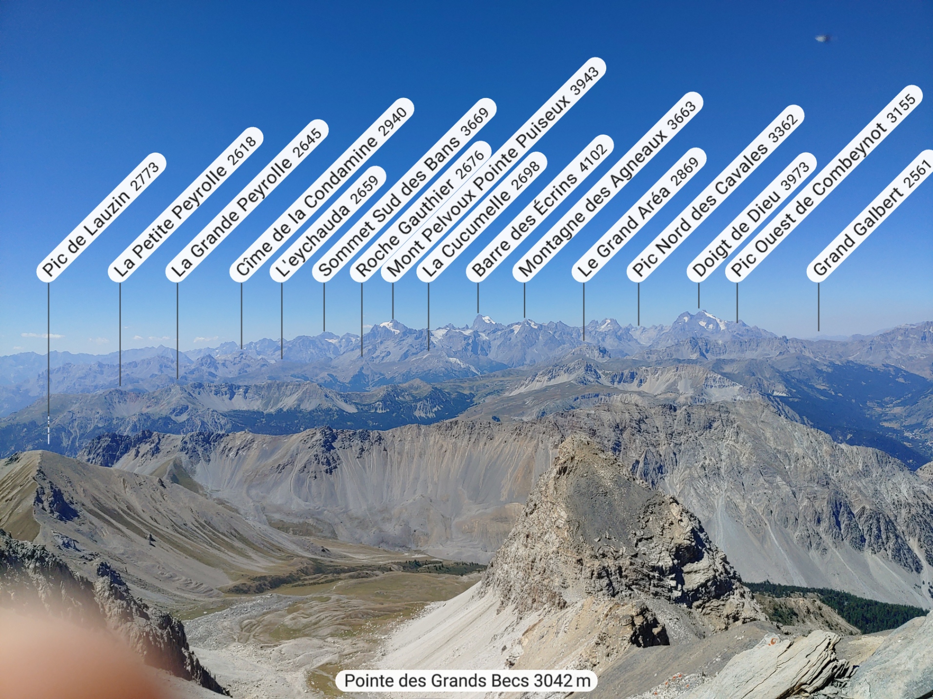
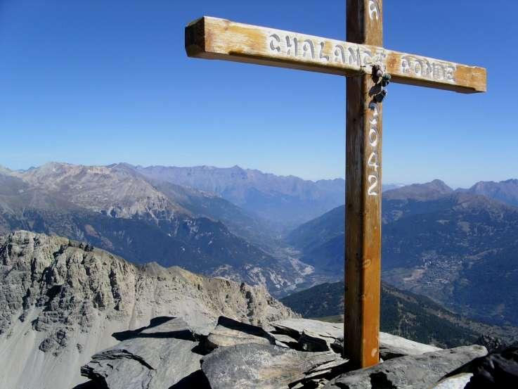
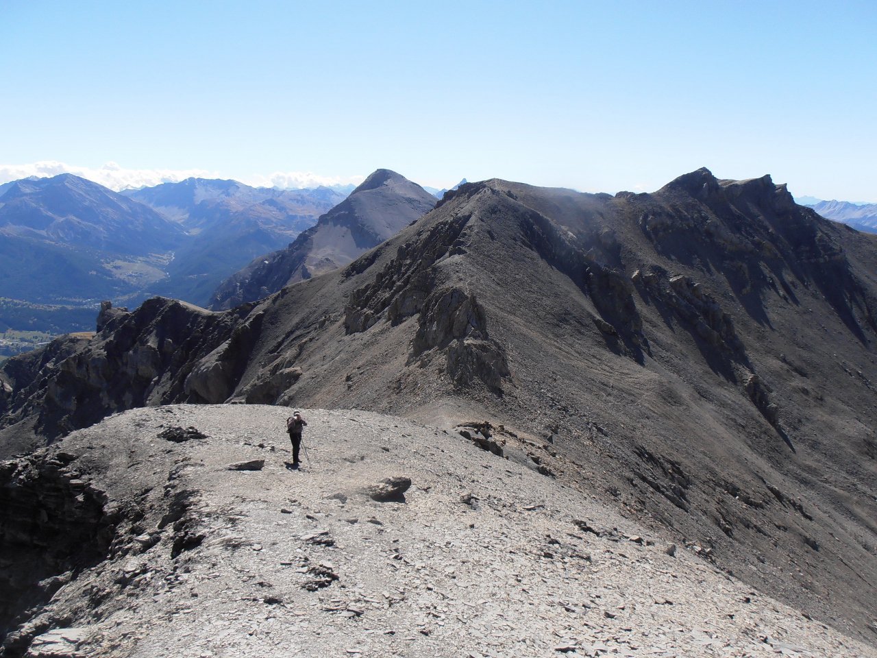
Seguire la cresta verso Nord e raggiungere la cima della Chalance Ronde, m. 3042 (croce di legno).
Ritornati al Passo continuare sulla cresta, non particolarmente impegnativa, e raggiungere prima La Punta, m.3047, e poi la P.ta Rochers Charniers, m. 3067.
Ritornati al Passo dell’Asino si ridiscende il ripido pendio fino al colletto sotto la P.ta Gardiol. Questa si raggiunge in breve risalendo alcuni dossi erbosi, m. 2340.
- Cartografia:
- I.G.C. n. 17 Bassa Valle di Susa, Fraternali 1:25000 n.1 Alta Valle di Susa
- Bibliografia:
- In Cima vol. 5 Valle di Susa
Nelle vicinanze Mappa
Itinerari
08/08/2025 TO, Oulx D+ 860 m EE Est
Lago (Rocca del) da Pourachet per Punta Gardiol e Passo Desertes
 50m
50m
10/07/2019 TO, Oulx D+ 1191 m EE Est
Lago (Rocca del) da Desertes per il Passo di Desertes
 1.7Km
1.7Km
12/07/2017 TO, Cesana Torinese D+ 1530 m E Nord-Est
Chaberton (Monte) da Prà Claud
 2.6Km
2.6Km
14/07/2021 TO, Cesana Torinese D+ 1293 m EE Sud-Est
Clotesse (Punta) da Pra Claud per il Passo Desertes
 2.6Km
2.6Km
09/06/2026 TO, Cesana Torinese D+ 751 m E Sud-Est
Gardiol (Punta) da Prà Claud, anello per Desertes
 2.6Km
2.6Km
30/09/2018 TO, Cesana Torinese D+ 1200 m E Varie
Vallonetto (Croce del) da Pra Claud
 2.6Km
2.6Km
21/10/2012 TO, Cesana Torinese D+ 700 m E Varie
Nera (Cresta) da Prà Claud
2.6Km
23/08/2024 TO, Cesana Torinese D+ 1500 m EE Sud
Chalanche Ronde (Pointe de) da Prà Claud
 2.6Km
2.6Km
25/07/2009 TO, Cesana Torinese D+ 1474 m EE Sud-Est
Rochers Charniers (Pointe des) da Prà Claud e il Pian del Morti
 2.6Km
2.6Km
30/09/2017 TO, Oulx D+ 1200 m E Varie
Mulattiera (Passo della) da Chateau Beulard a Pian del Colle per il Col des Acles
 3.1Km
3.1Km
Servizi
3Km
3.4Km
La Chardouse Rifugio
Oulx
5.1Km
Dell’Orsa Bar
Oulx
5.1Km
Guido Rey Rifugio
Oulx
5.1Km
La Moretta Ristorante
Oulx
6.3Km
Ottima Scelta Ristorante
Cesana Torinese
6.3Km
L’Ibarus Rifugio
Cesana Torinese
6.3Km
Piergiorgio Frassati B&B
Cesana Torinese
6.4Km
Casa Cesana Bar
Cesana Torinese
8.2Km