3.7Km
3.7Km
Note
 0m
0m
50m
50m
50m
50m
50m
50m
50m
50m
0m
0m
50m
50m
50m
50m
50m
50m
50m
50m
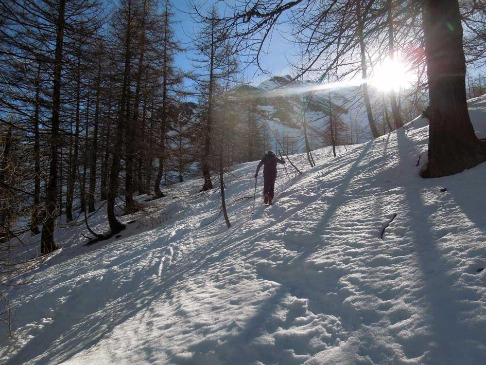
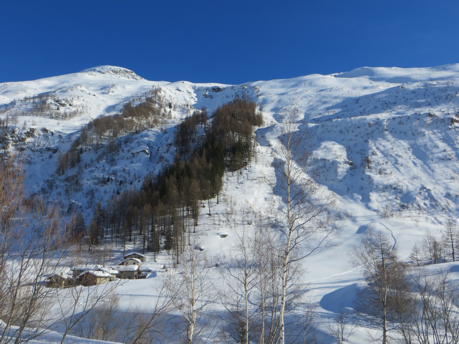
In primavera è possibile arrivare in auto fino a Prà sec.
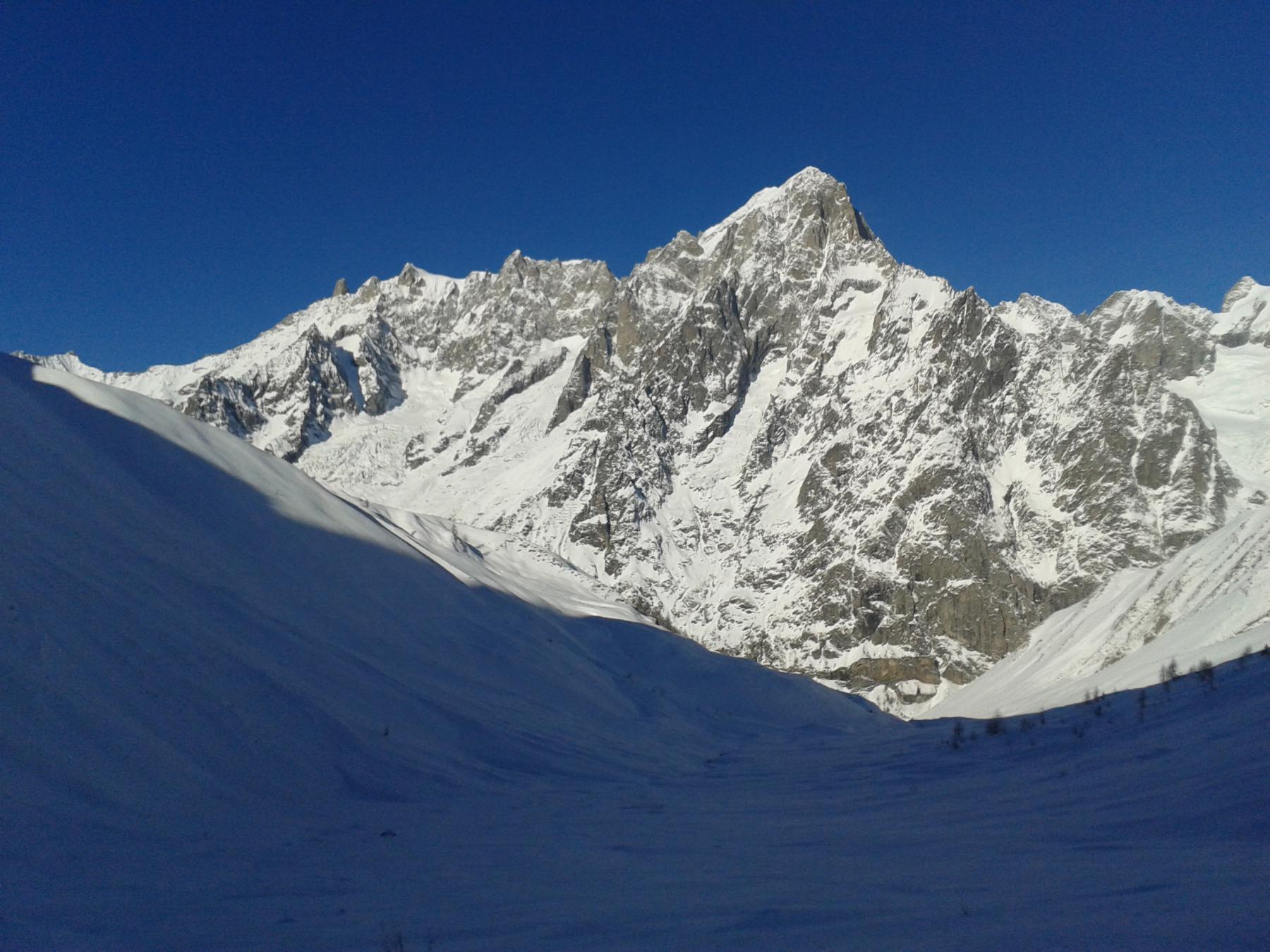
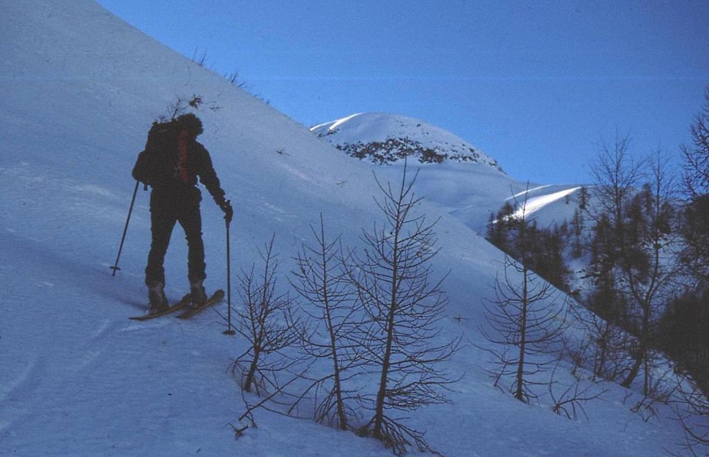
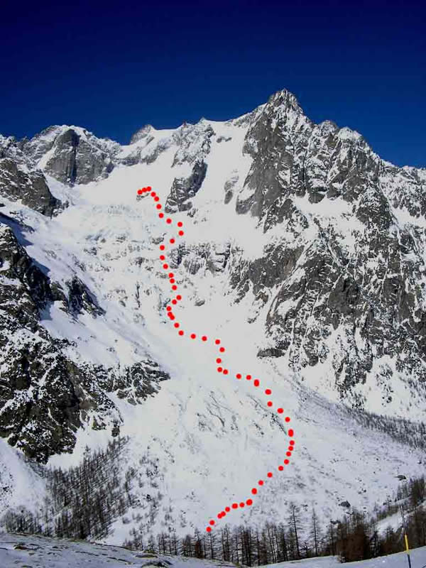
La descrizione del Libro suggerisce di salire dal Vallone Armina (solo se sicuro, perchè vallone molto ripido, pericolo slavine) e scendere dal Vallone di Malatrà. Avvicinamento un po' penalizzante su piste di fondo, circa Km. 4.
Avvicinamento
La descrizione del Libro suggerisce di salire dal Vallone Armina (solo se sicuro, perchè vallone molto ripido, pericolo slavine) e scendere dal Vallone di Malatrà. Avvicinamento un po' penalizzante su piste di fondo, circa Km. 4.
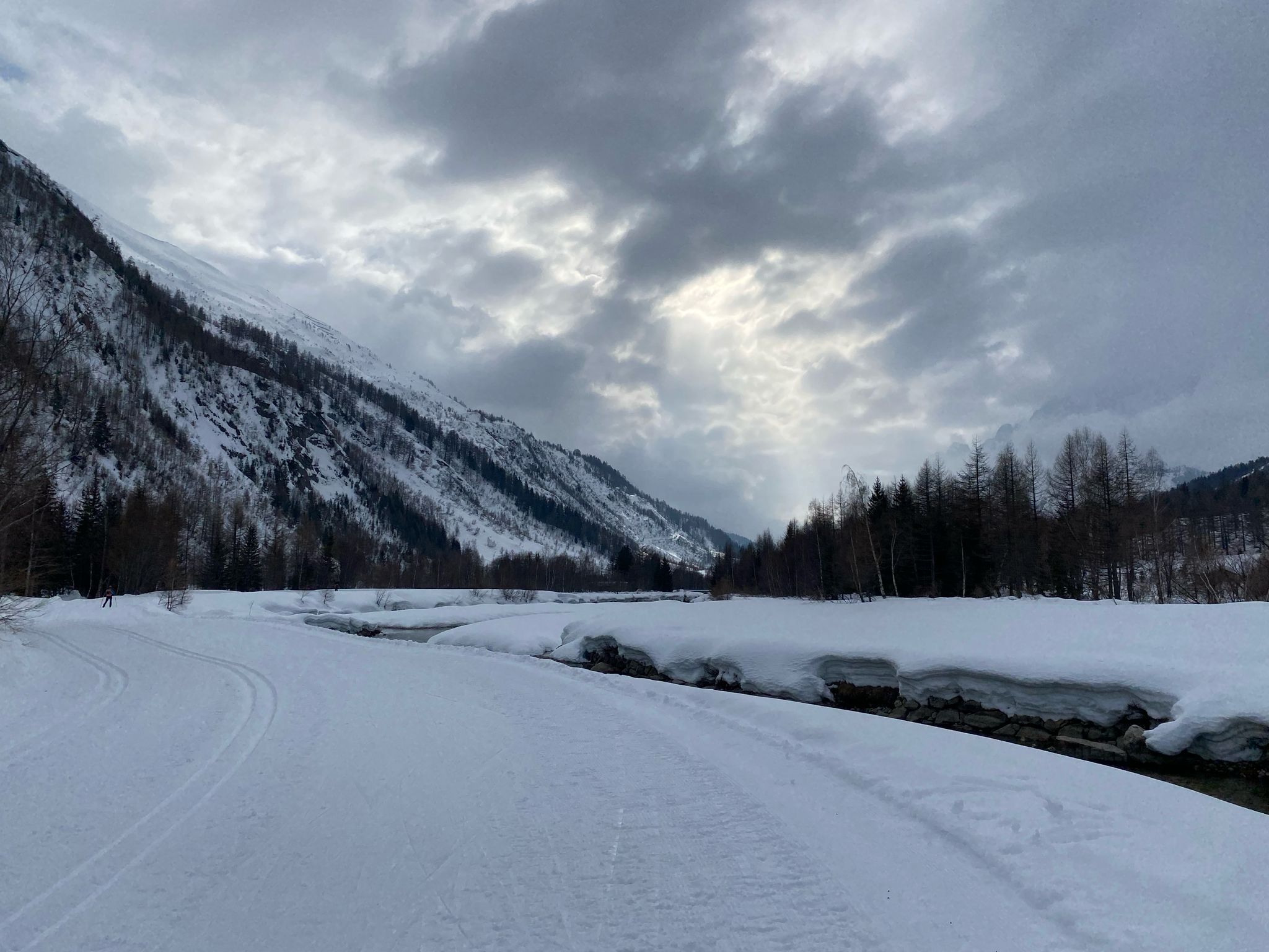
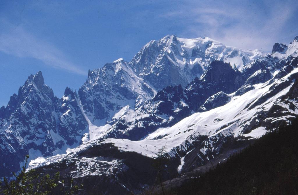
Da Aosta si prosegue fino a Courmayeur e quindi ad Entrèves dove sulla destra si raggiunge Planpincieux.
Descrizione
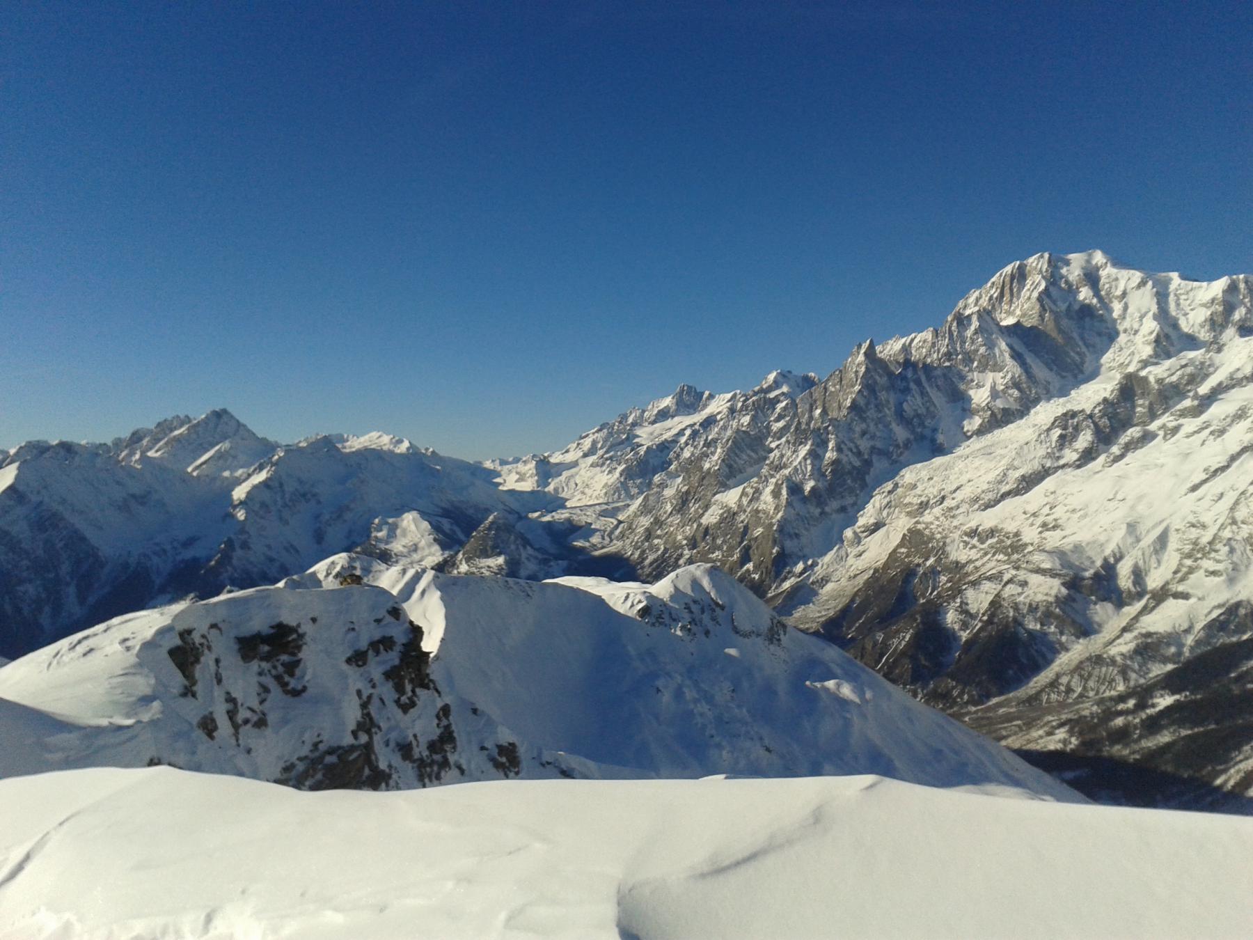
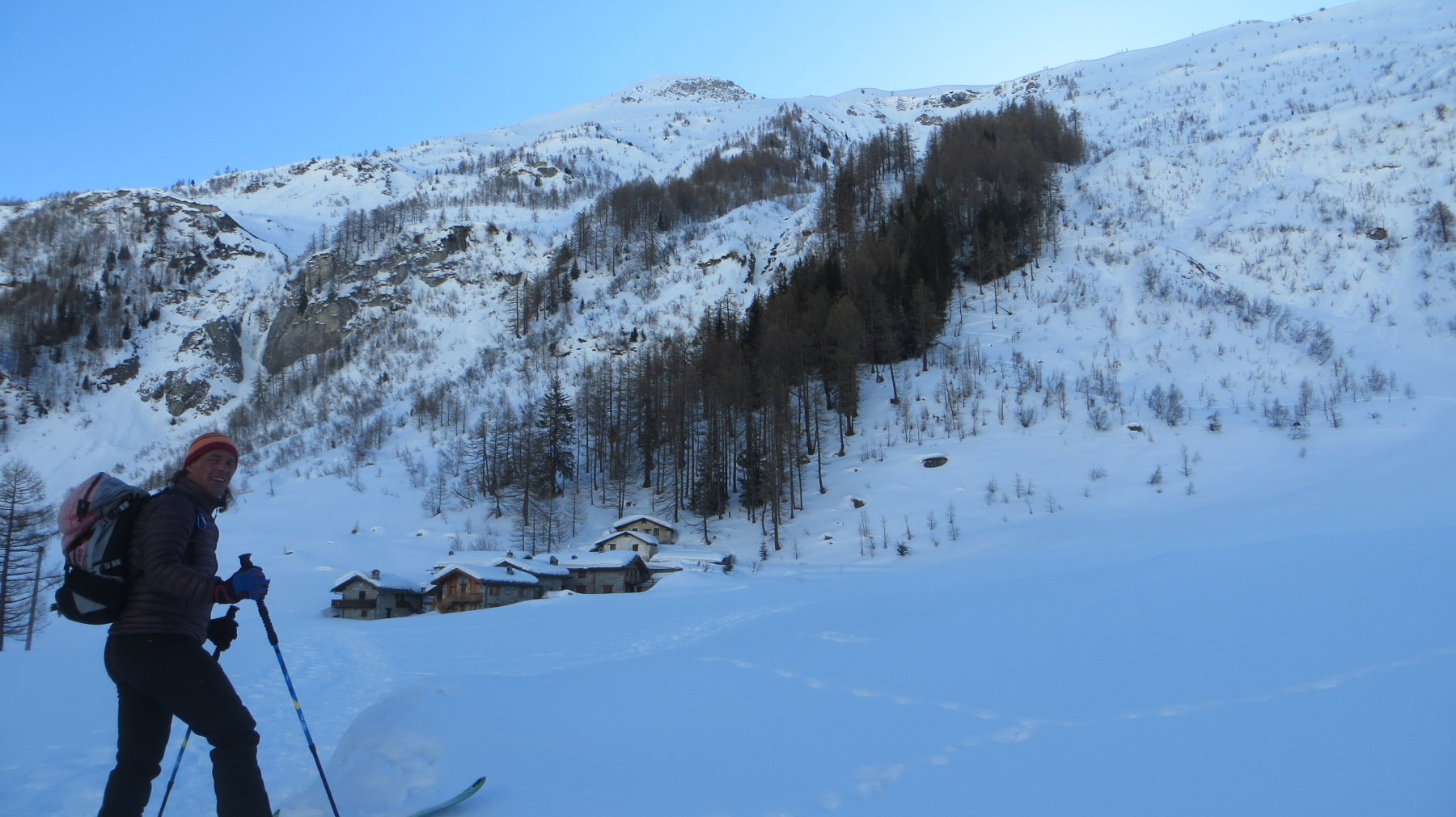
Da Planpiceux seguire la carrozabile della Val Ferret ed arrivare a “La Vachey” e seguire le indicazioni per il Rif. Bonatti. Dal Rifugio proseguire tutto il vallone al termine del quale piegare a destra per il colle e proseguire lungo il crinale sino alla vetta. Rientro per lo stesso tragitto. Questo itinerario è certamente più lungo, con basso pericolo pensiamo sia più veloce salire lungo la Valle Armina.
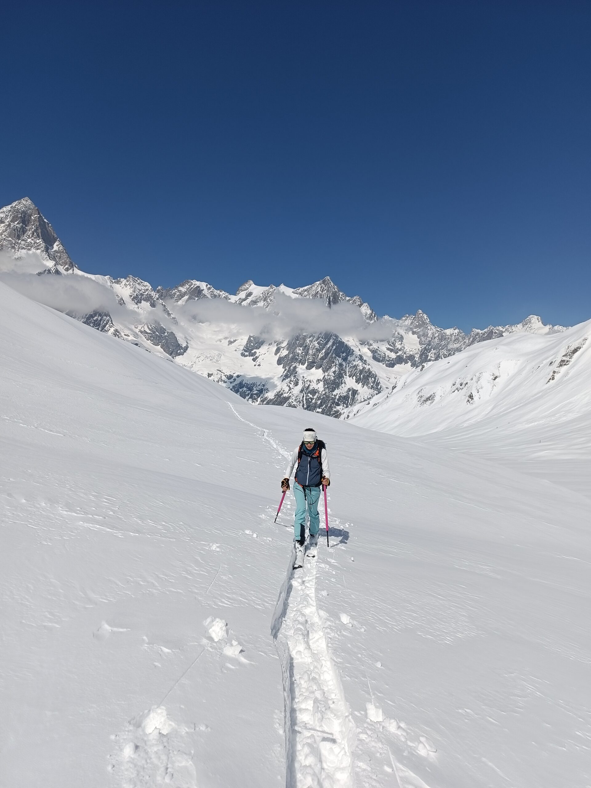
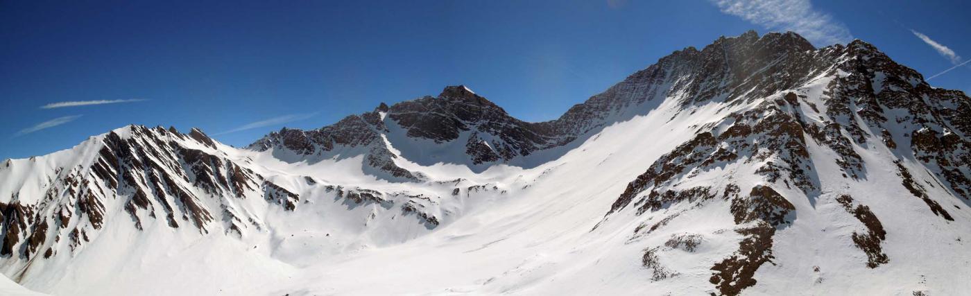
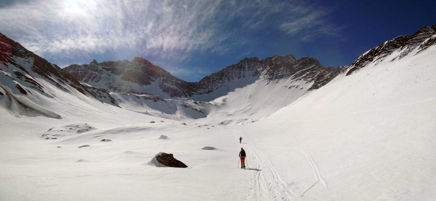
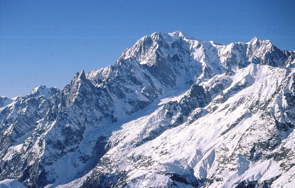
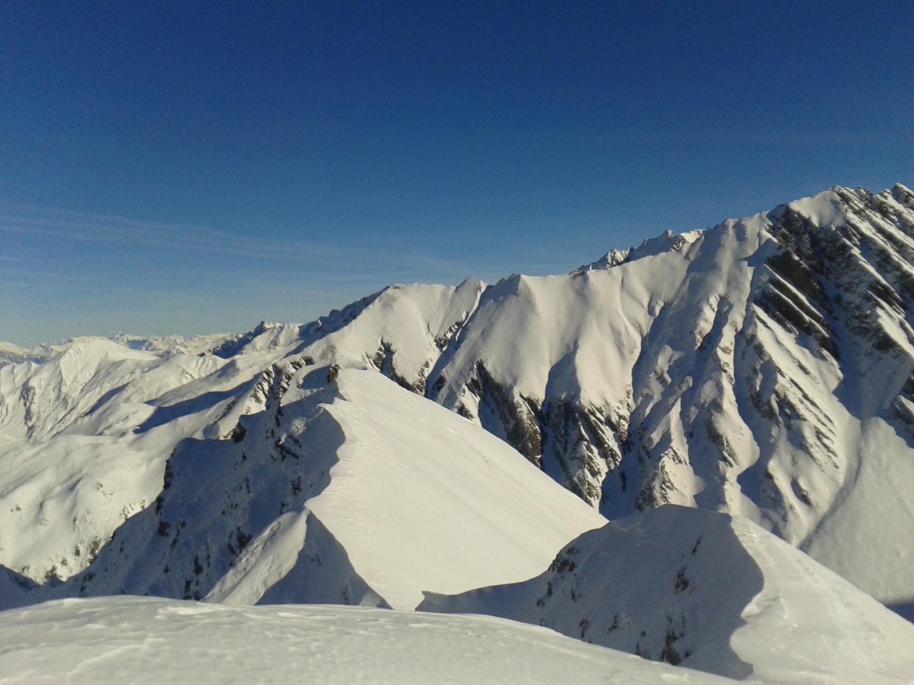
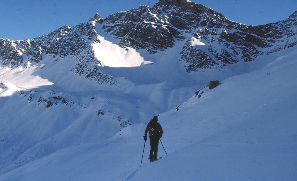
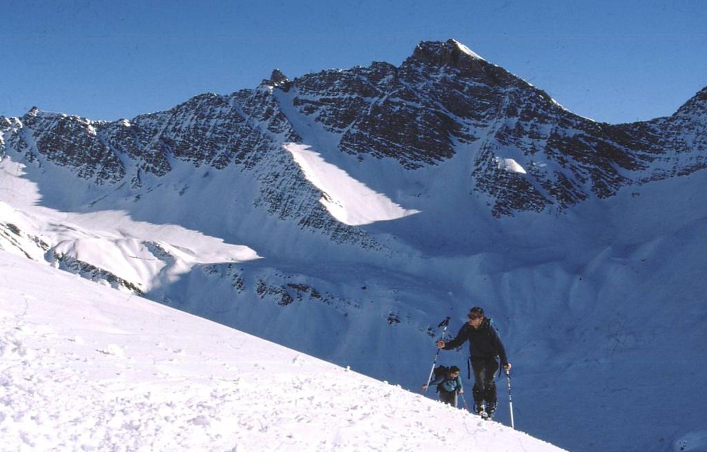
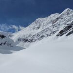
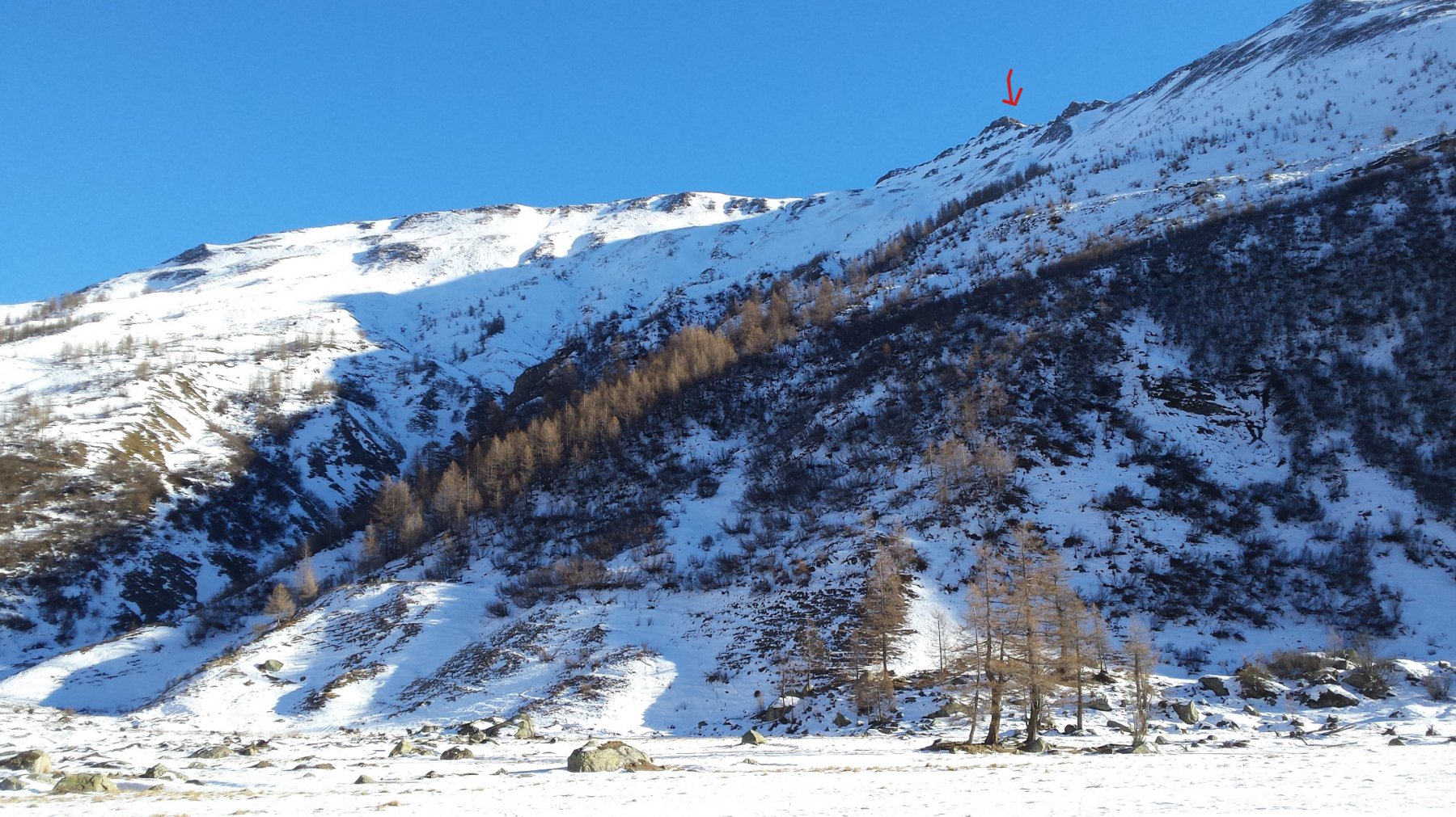
Giro ad anello: si risalgono i pendii, inizialmente malagevoli, che adducono al Vallone Armina e si prosegue stando sulla destra orografica fino all’alpe di Sèchèron.
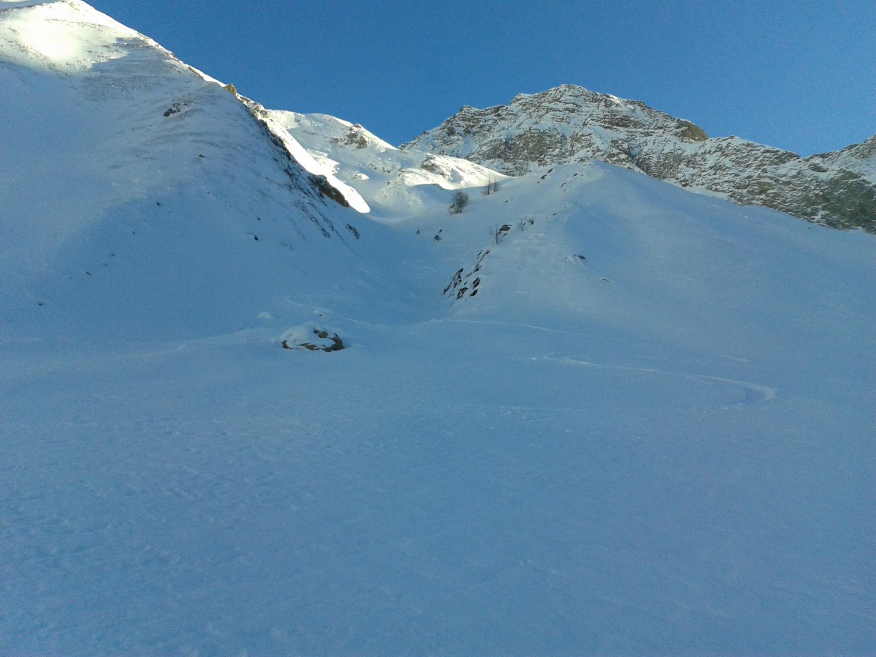
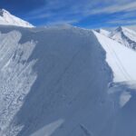
Questo tratto, incassato, va percorso con neve sicura e non abbondante.
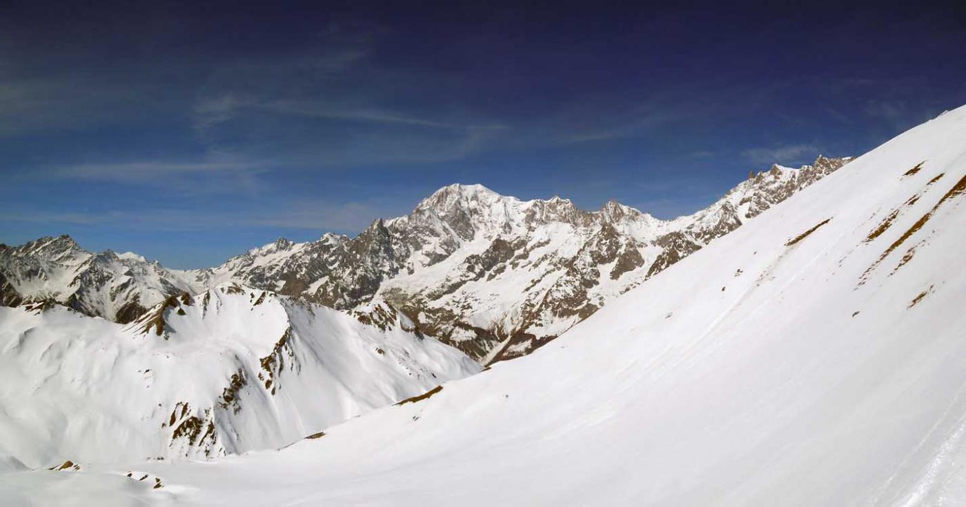
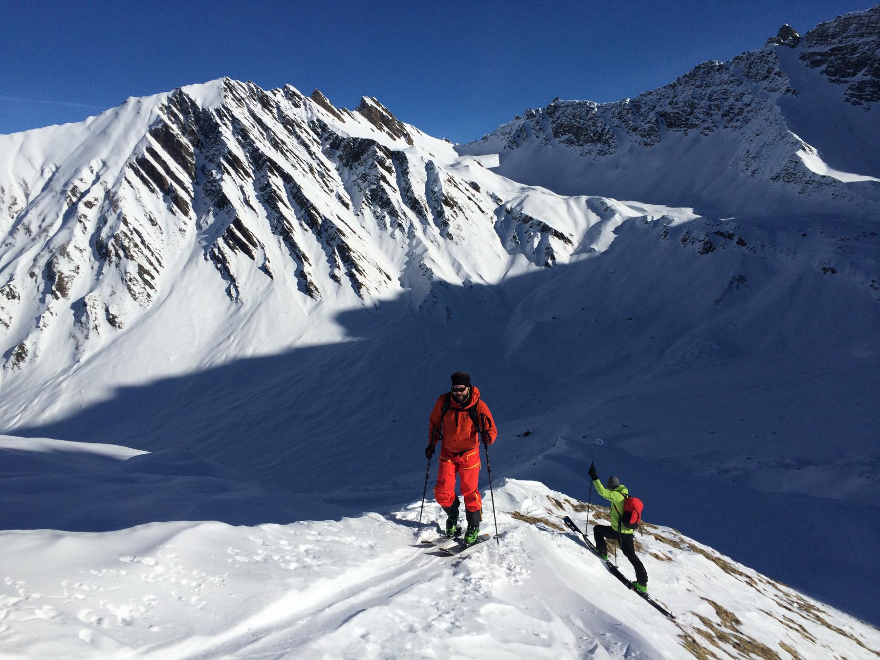
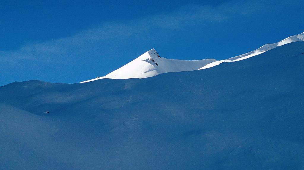
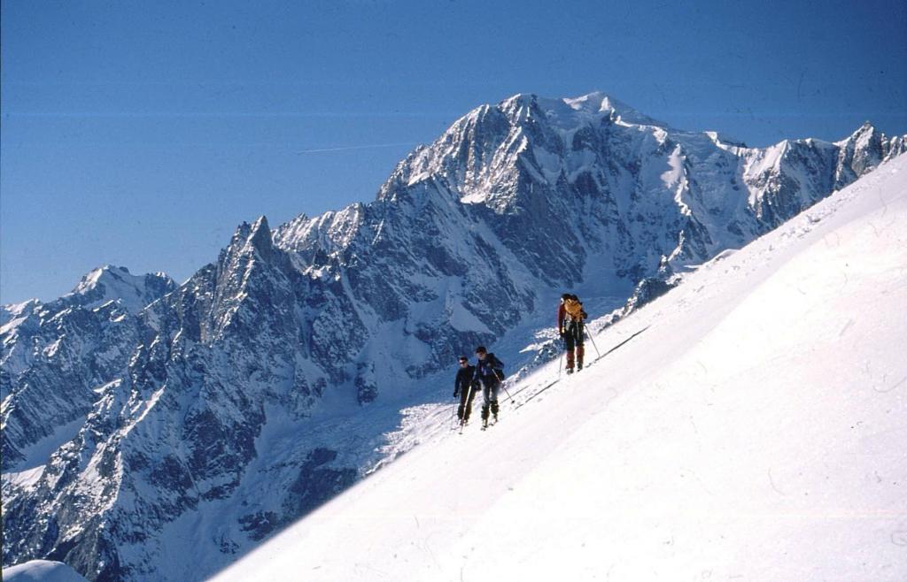
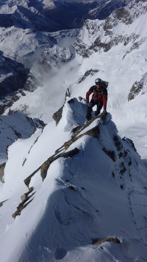
Si volge a sinistra in direzione del Pas Entre Deux Sauts 2524 m. e poco prima, volgendo a sinistra, si risale il dosso che scende dalla cima cui si perviene senza particolari difficoltà.
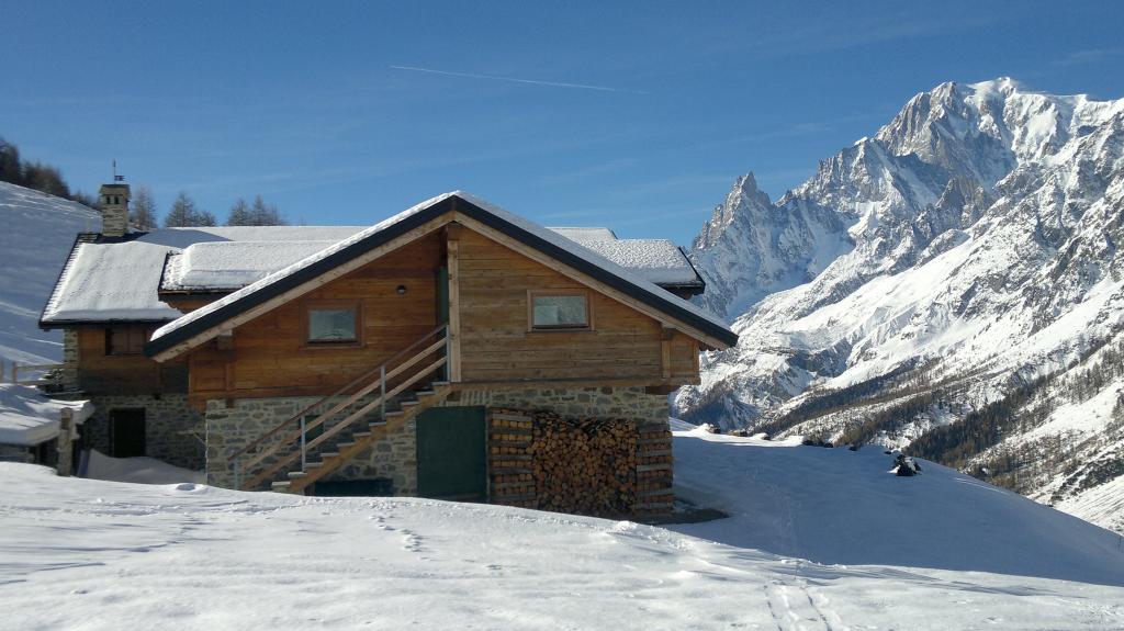
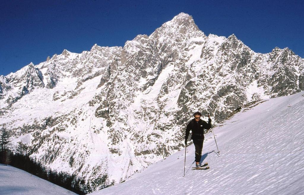
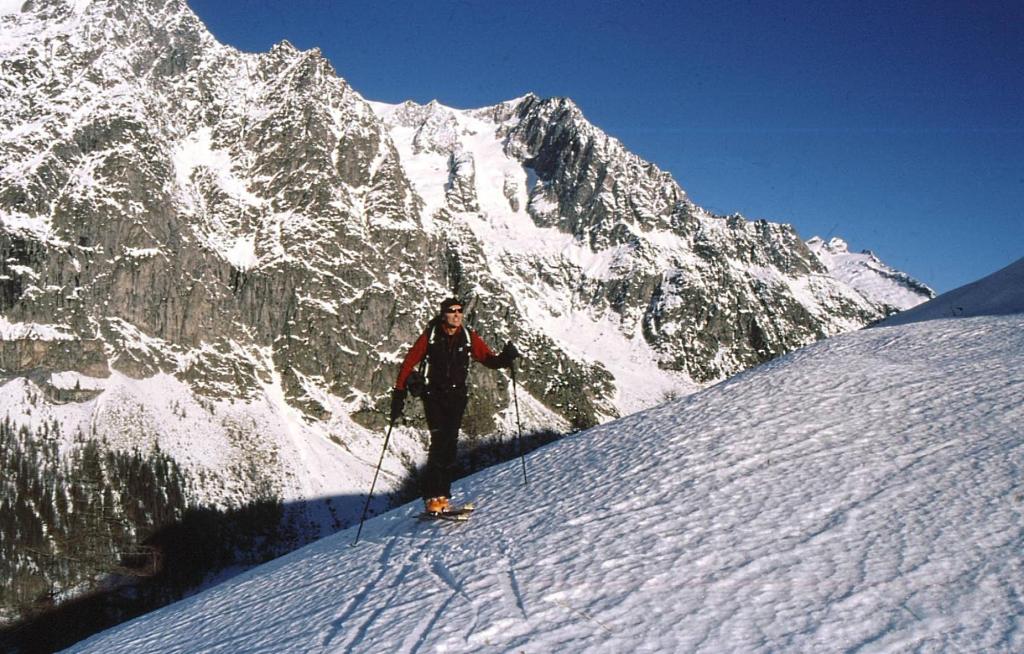
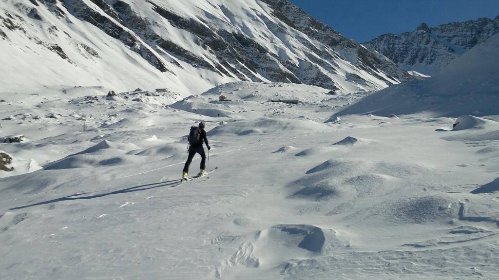
Discesa: scesi in direzione del Pas Entre Deux Sauts si scende nel vallone Malatrà; si passa nei pressi dell’Alpe Malatrà e restando sulla sinistra orografica si perviene al Rifugio Bonatti e a Lavachey; da qui si rientra a Planpincieux.
- Cartografia:
- L’Escursionista Editore 1/25.000 n° 1
- Bibliografia:
- R.Aruga, C.Poma. CDA. Dal Monviso al Sempione. N° 68.
Nelle vicinanze Mappa
Itinerari
02/01/2026 AO, Courmayeur D+ 975 m BS Nord-Ovest
Bernarda (Testa) da Plampincieux
 0m
0m
13/03/2005 AO, Courmayeur D+ 1260 m OS, PD Sud
Gervasutti Giusto (Bivacco) da Planpincieux
 0m
0m
27/05/2021 AO, Courmayeur D+ 1300 m OSA, F Nord
Battaglione Aosta (Colle) da Planpincieux
 50m
50m
17/02/2024 AO, Courmayeur D+ 1240 m BSA, F Nord-Ovest
Chéarfière (Mont) da Planpincieux
 50m
50m
18/01/2022 AO, Courmayeur D+ 1000 m MS Nord-Ovest
Tronche (Testa della) e Testa Bernarda da Planpincieux per il Vallone di Arminaz
 50m
50m
27/05/2021 AO, Courmayeur D+ 1200 m OSA, F Nord
Chambave (Colle di) da Planpincieux
 50m
50m
12/12/2015 AO, Courmayeur D+ 1120 m BSA Ovest
Bellecombe (Mont) o Bella Comba da Planpincieux
 50m
50m
27/05/2021 AO, Courmayeur D+ 1200 m OSA, F Varie
Curru (Tête du), anticima nord da Planpincieux
 50m
50m
11/05/2013 AO, Courmayeur D+ 2005 m OSA Sud-Ovest
Greuvetta o Gruetta (Mont) da Planpincieux
 50m
50m
18/02/2020 AO, Courmayeur D+ 770 m MS Nord-Ovest
Saxe (Mont de la) da Planpincieux
 50m
50m