5.6Km
5.6Km

Note
 0m
4Km
5.3Km
5.9Km
6.6Km
7.1Km
8Km
8Km
8Km
8Km
0m
4Km
5.3Km
5.9Km
6.6Km
7.1Km
8Km
8Km
8Km
8Km
5.6Km
5.7Km
8Km
8.7Km
9.1Km
9.1Km
9.2Km
9.2Km
9.4Km
9.6Km
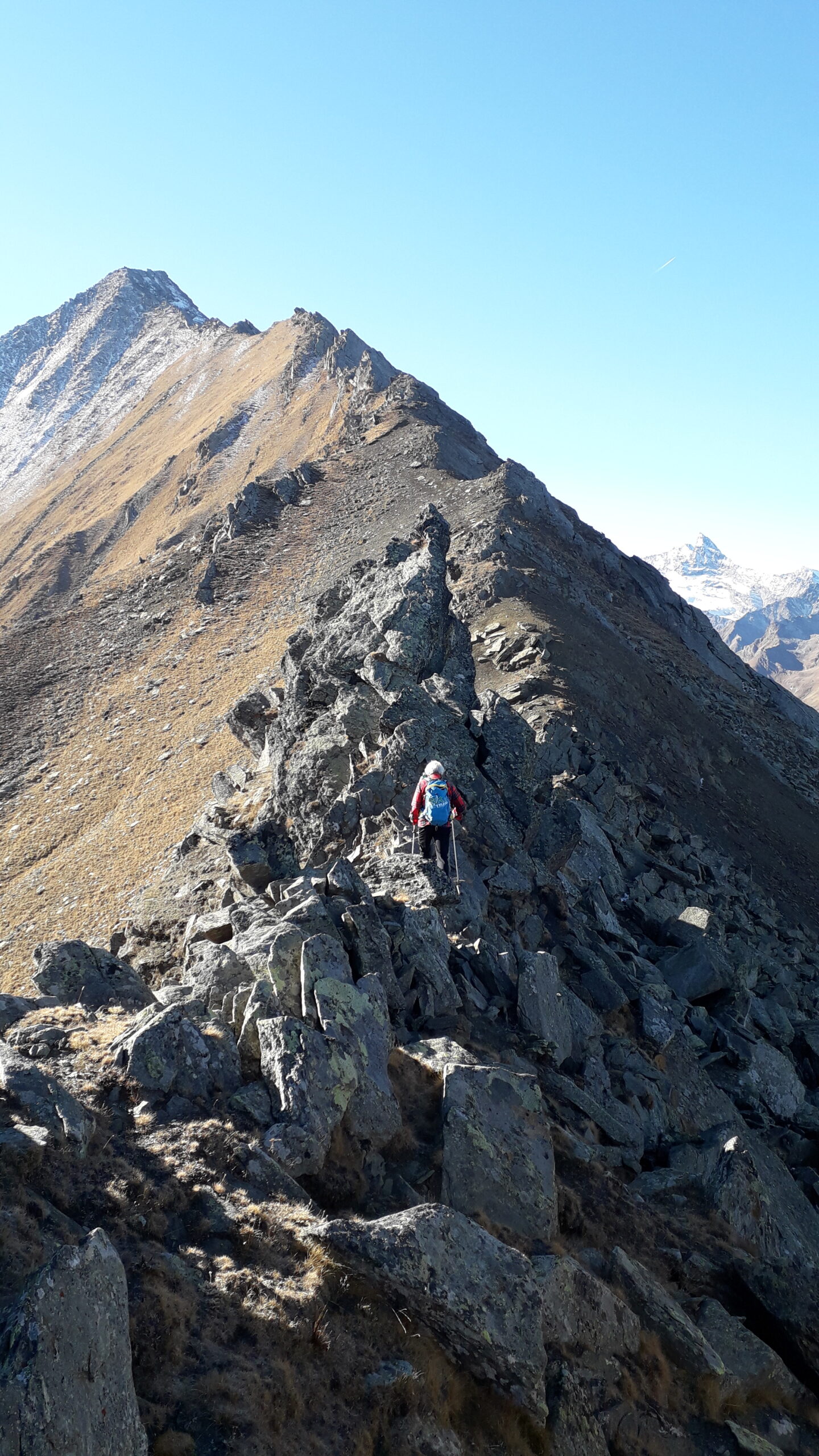
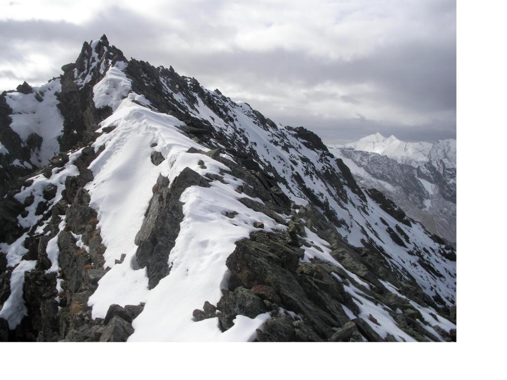
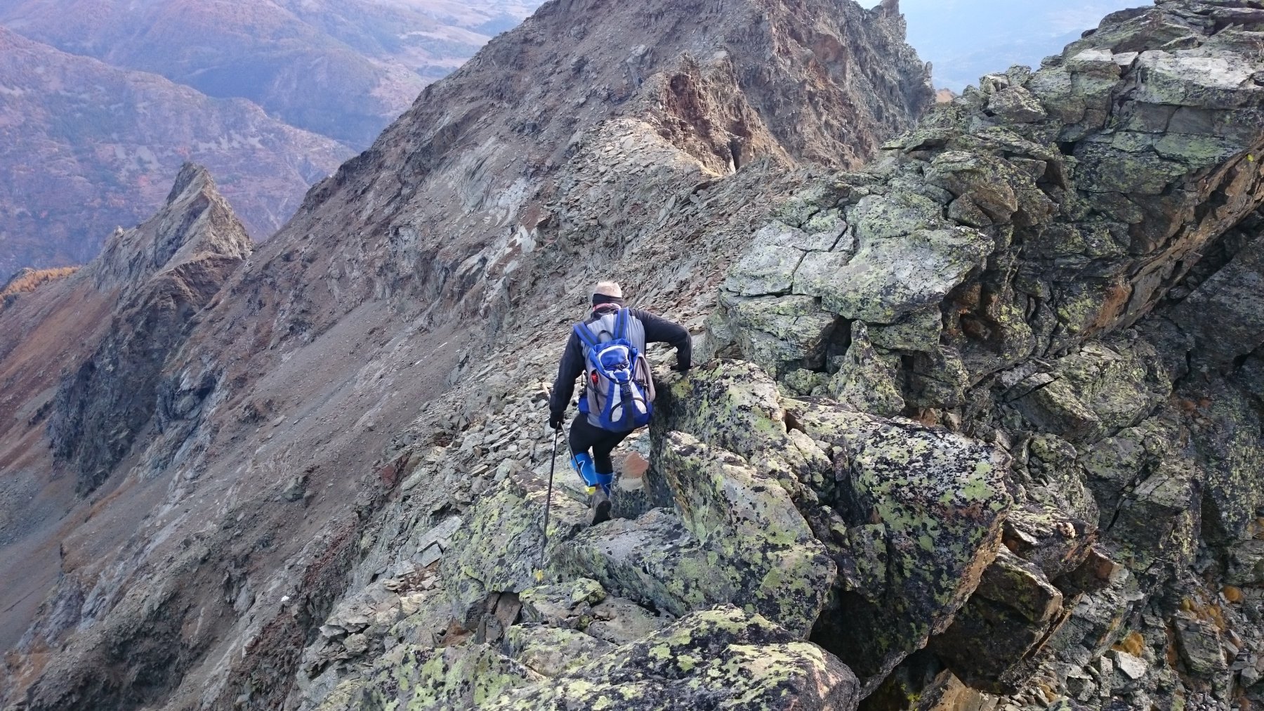
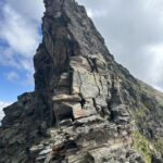
Descritta come gita alpinistica perchè più volte bisogna aiutarsi con le mani
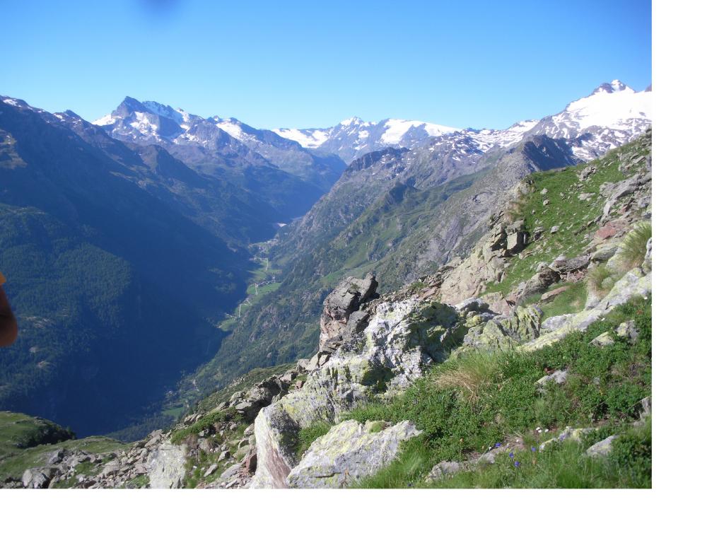
Avvicinamento
.
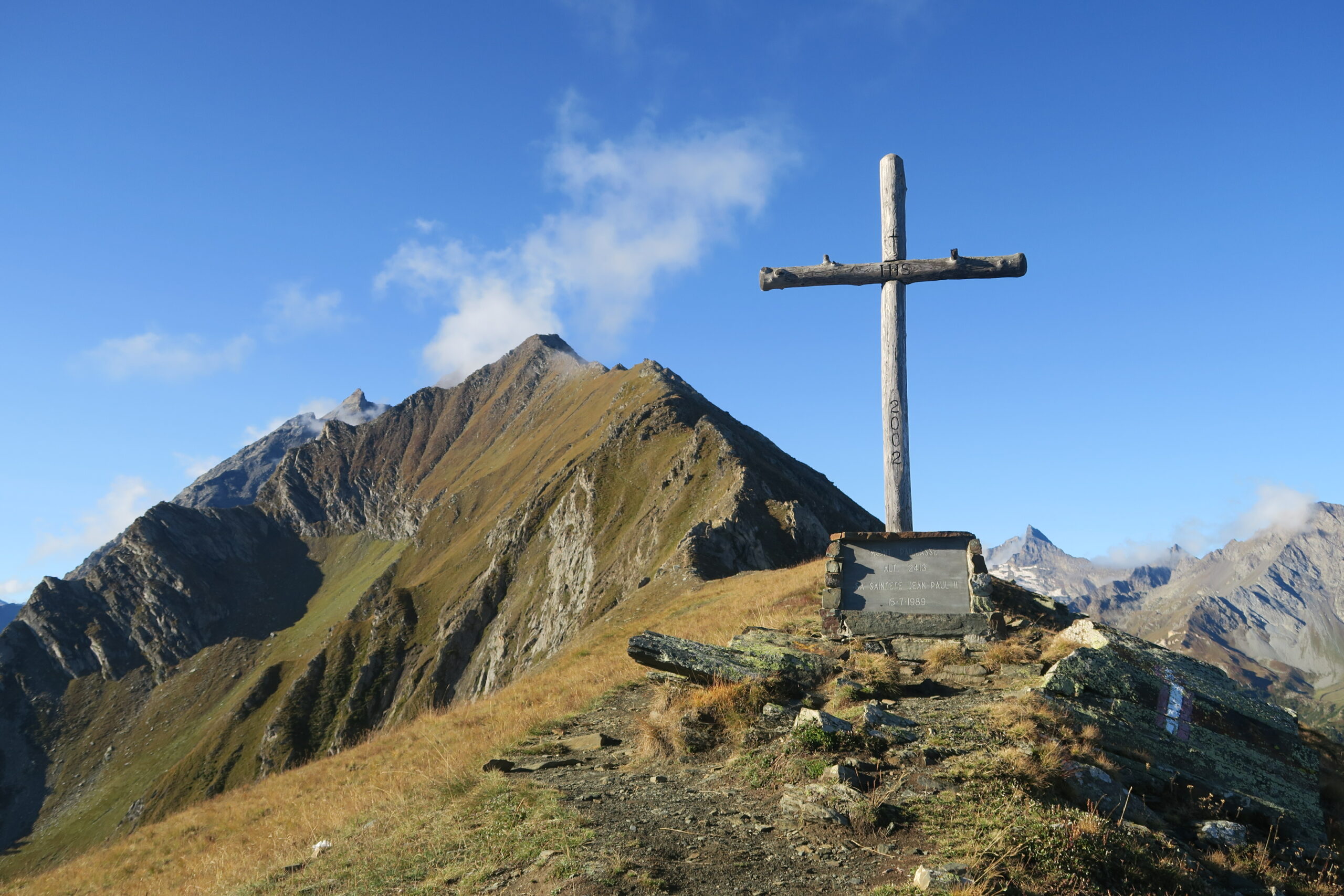
Descrizione
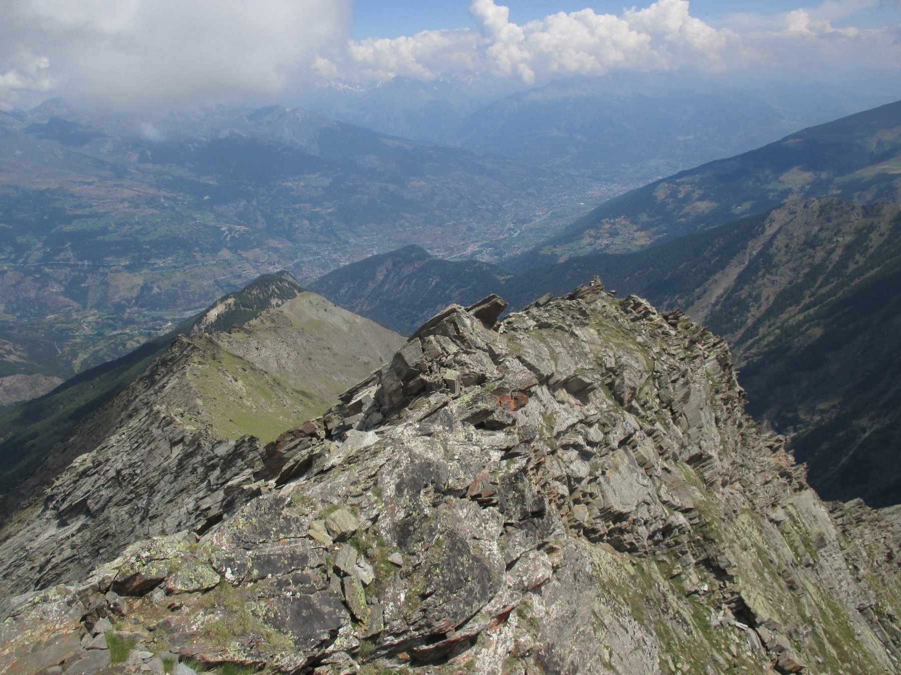
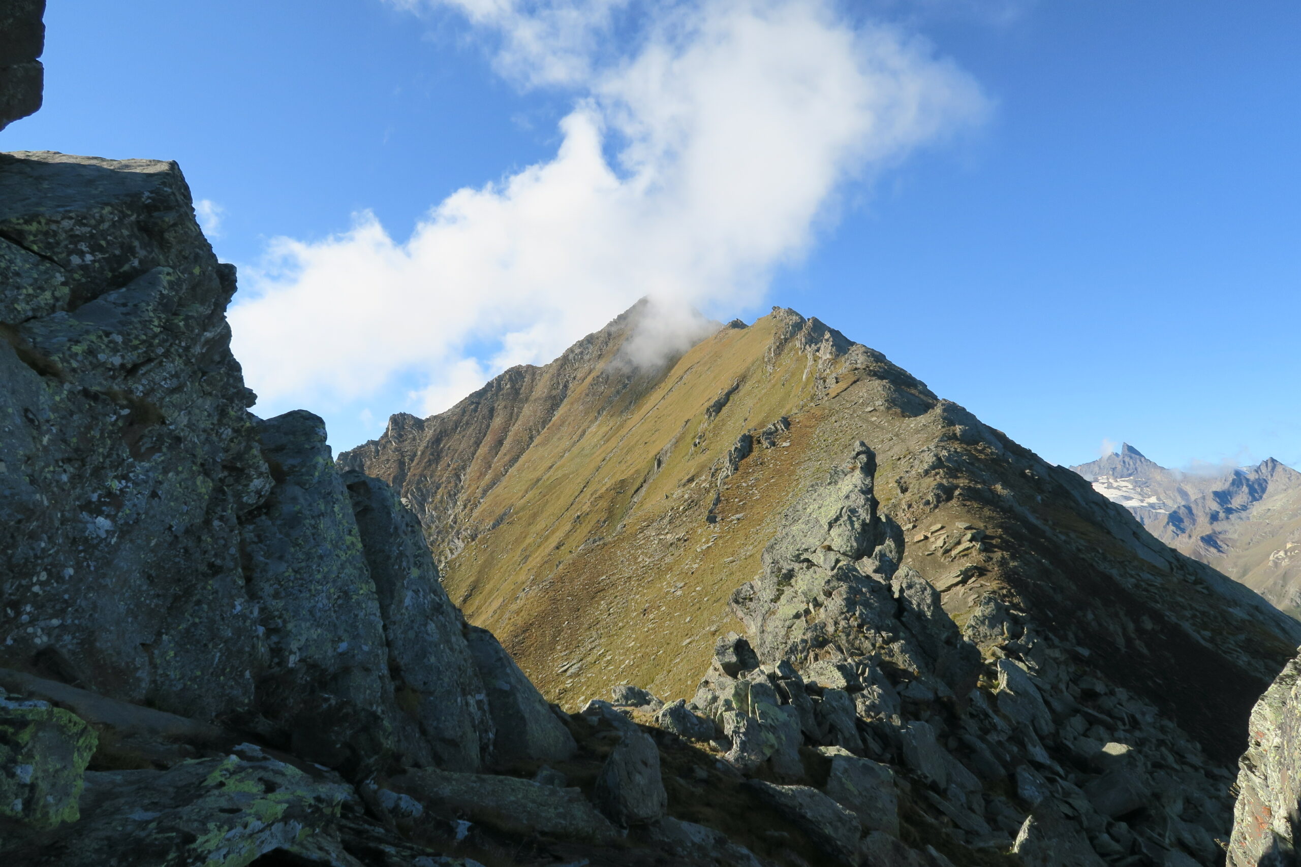
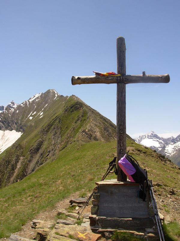
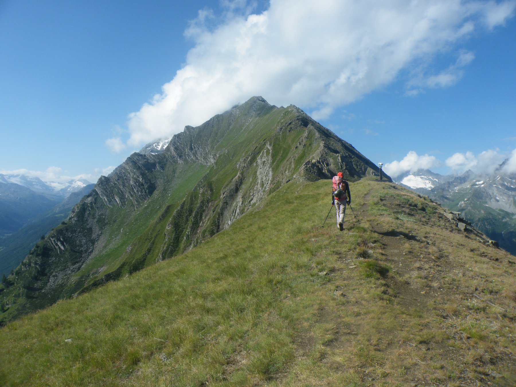
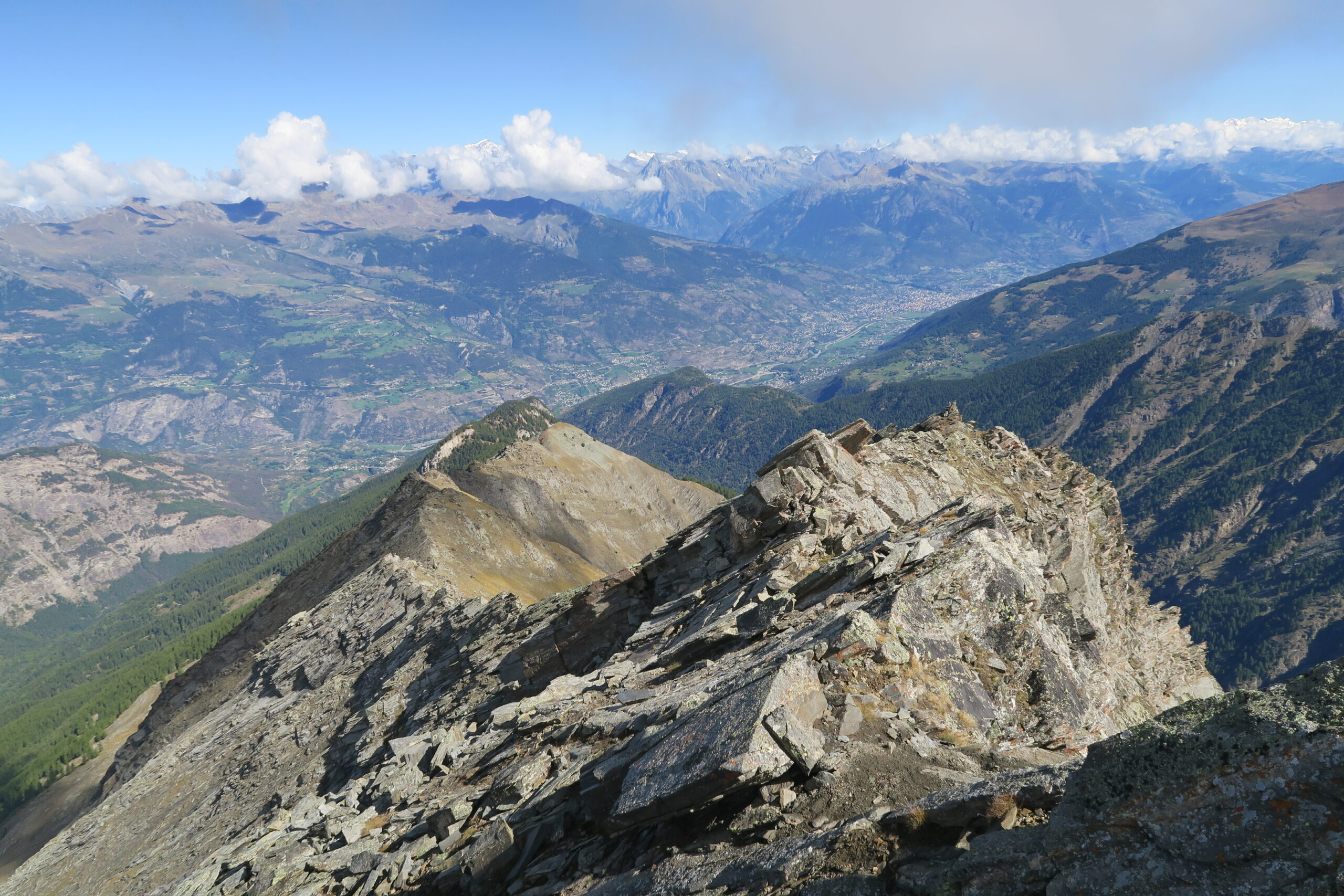
Seguire lo stesso itinerario per il mon Paillasse poi continuare sempre sul filo di cresta i passaggi più difficili sono tutti aggirabili.Bella cresta non difficile se la si segue fedelmente ci sono anche dei bei passaggini, molto panoramica….e lunga
Nelle vicinanze Mappa
Itinerari
21/10/2012 AO, Rhemes-Saint-Georges D+ 1656 m PD Sud-Est
Pré d’Amont (Becca di) Cresta Est
 0m
0m
17/07/2021 AO, Rhêmes-Notre-Dame D+ 1850 m AD+ Ovest
Ran (Punta di) da Creton per il Passo di Nequedè e la cresta Sud
 4Km
4Km
26/09/2015 AO, Introd D+ 1500 m PD- Ovest
Valletta (Punta) da Fenille
 5.3Km
5.3Km
10/09/2016 AO, Rhemes-Saint-Georges D+ 1498 m PD+ Sud-Est
Laugier (Becca) da Melignon
 5.9Km
5.9Km
17/08/2013 AO, Valgrisenche D+ 1300 m AD- Est
Tighet (Torre del) o Tour du Tignet da Baulin per la Cresta Est
 6.6Km
6.6Km
04/07/2015 AO, Valsavarenche D+ 1750 m PD Ovest
Favret (Mont) da Rovenaud per il versante ovest
 7.1Km
7.1Km
06/09/2022 AO, Arvier D+ 1330 m F Varie
Tighet (Torre del) o Tour du Tignet da la Clusaz per il Versante Sud dal Col Taillà
 8Km
8Km
12/10/2017 AO, Avise D+ 1350 m F Varie
Taillà (Becca) da la Clusaz per il versante sud
 8Km
8Km
03/08/2024 AO, Avise D+ 1635 m PD Sud-Est
Paramont (Mont) da La Clusaz
 8Km
8Km
15/10/2024 AO, Avise D+ 1252 m F Sud
Pit (Mont) da Planaval
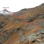 8Km
8Km
Servizi
5.6Km
5.7Km
Beau Sejour Albergo
Arvier
8Km
Vagneur Albergo
Saint-Nicolas
8.7Km
Paramont Albergo
Arvier
9.1Km
Le Vieux Noyer B&B
Saint-Pierre
9.1Km
Grande Rousse Albergo
Rhêmes-Notre-Dame
9.2Km
Lo Fourquin Bar
Valsavarenche
9.2Km
Abro de la Leunna Ristorante
Valsavarenche
9.4Km
Notre Maison Albergo
Saint Pierre
9.6Km