300m
300m
Note
 50m
50m
50m
50m
6.7Km
6.7Km
7.3Km
7.6Km
7.7Km
7.7Km
50m
50m
50m
50m
6.7Km
6.7Km
7.3Km
7.6Km
7.7Km
7.7Km
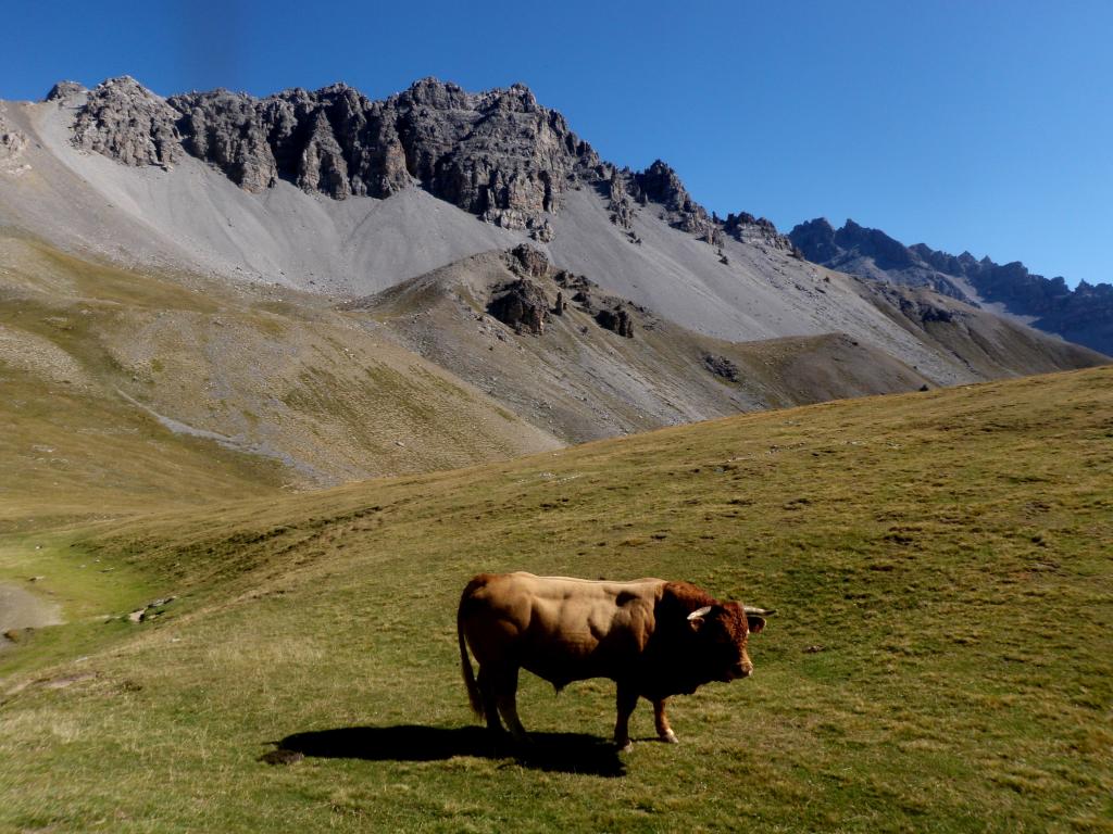
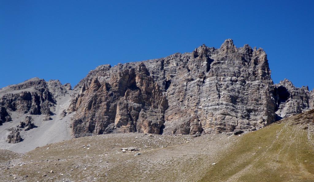
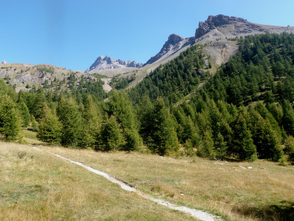
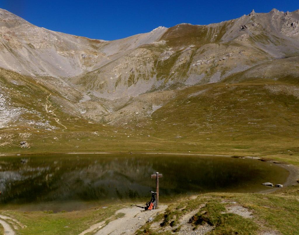
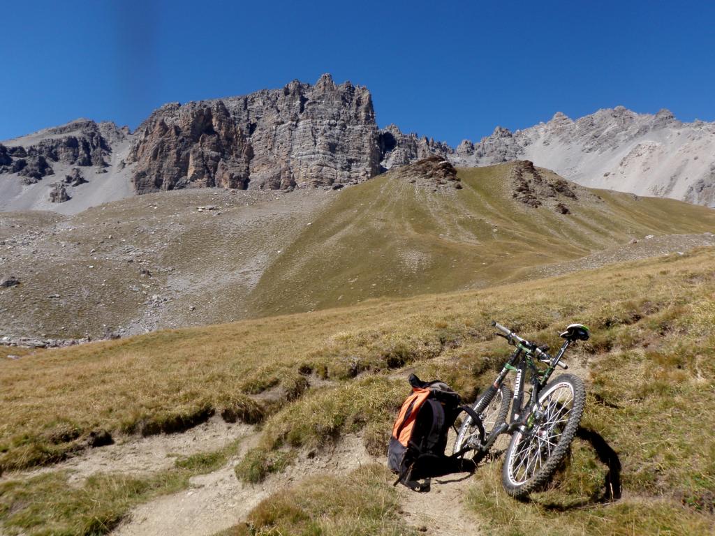
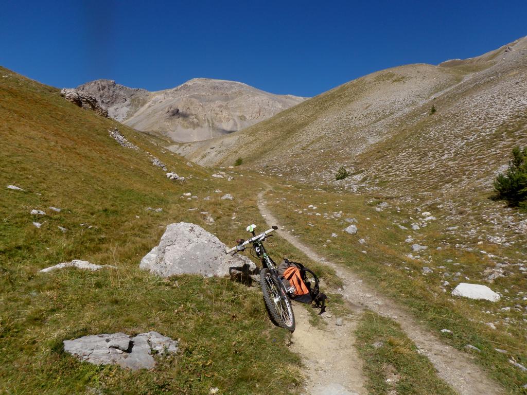
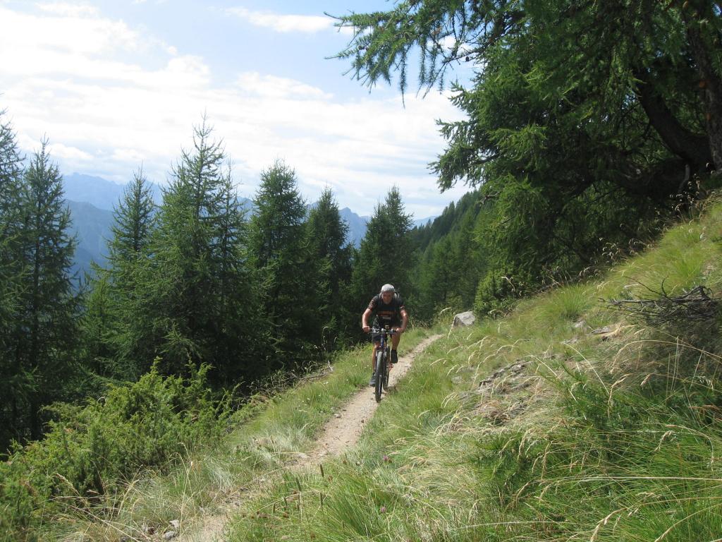
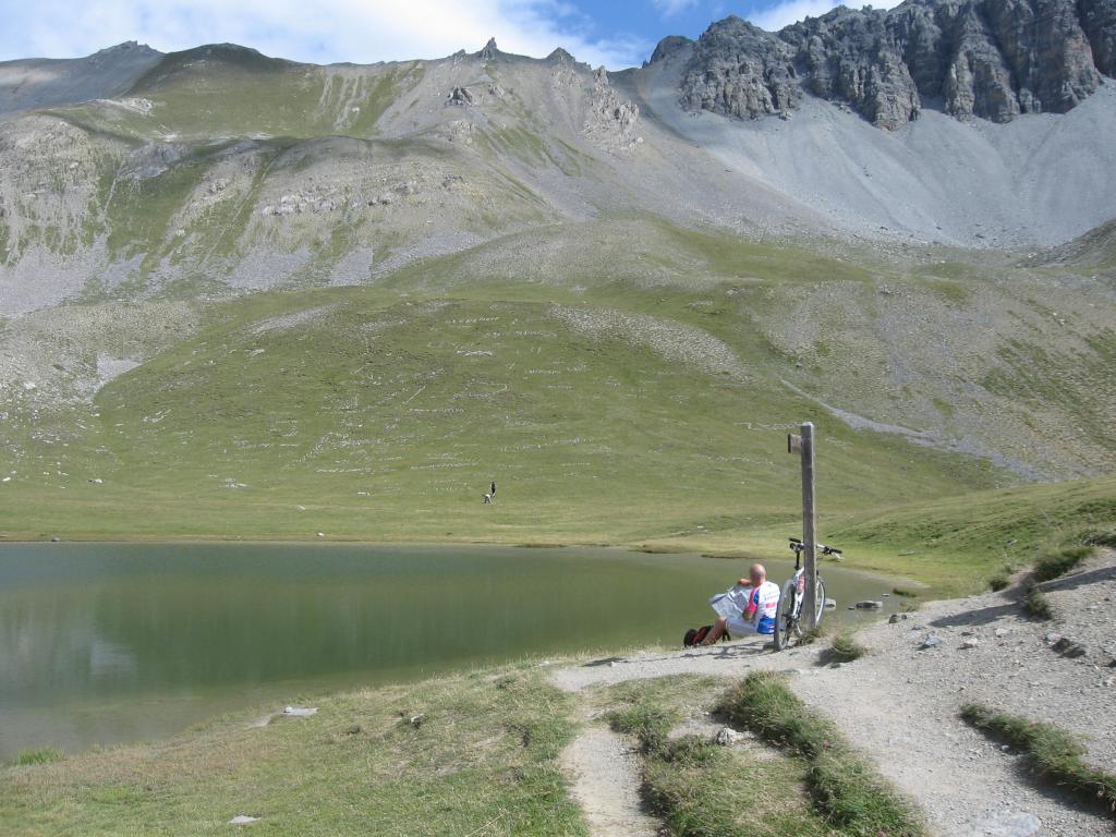
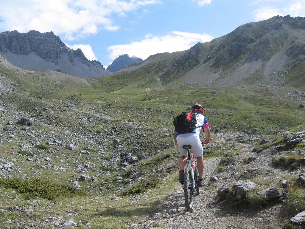
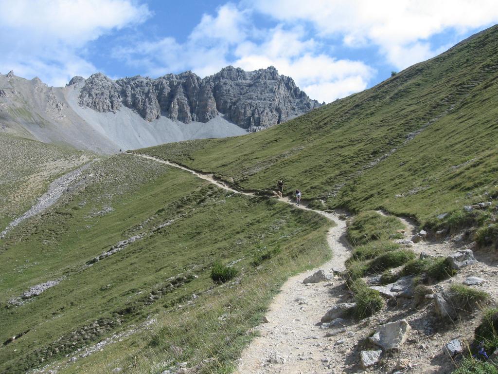
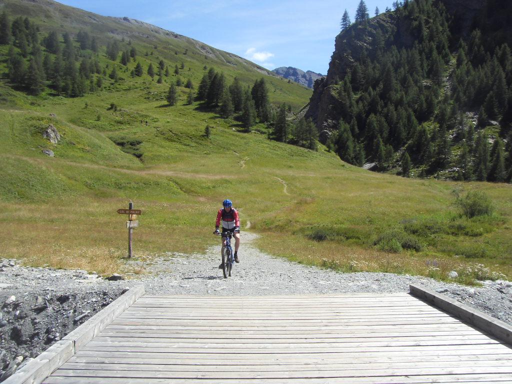
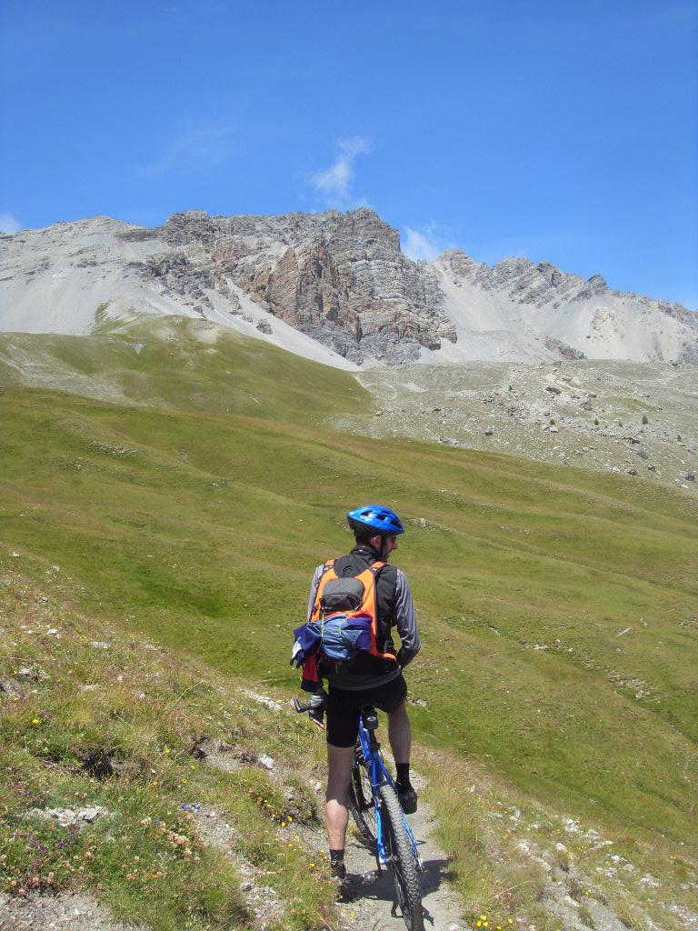
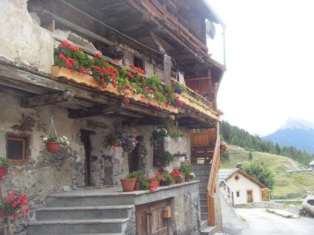
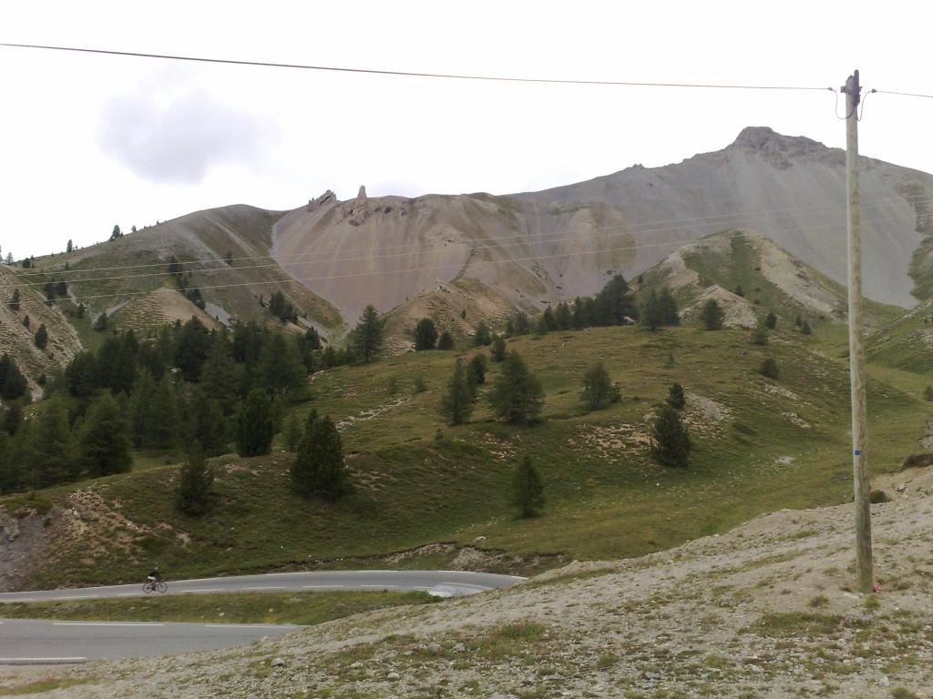
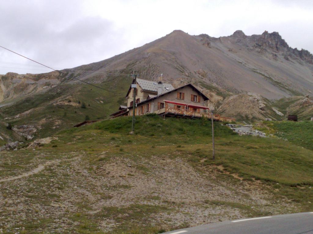
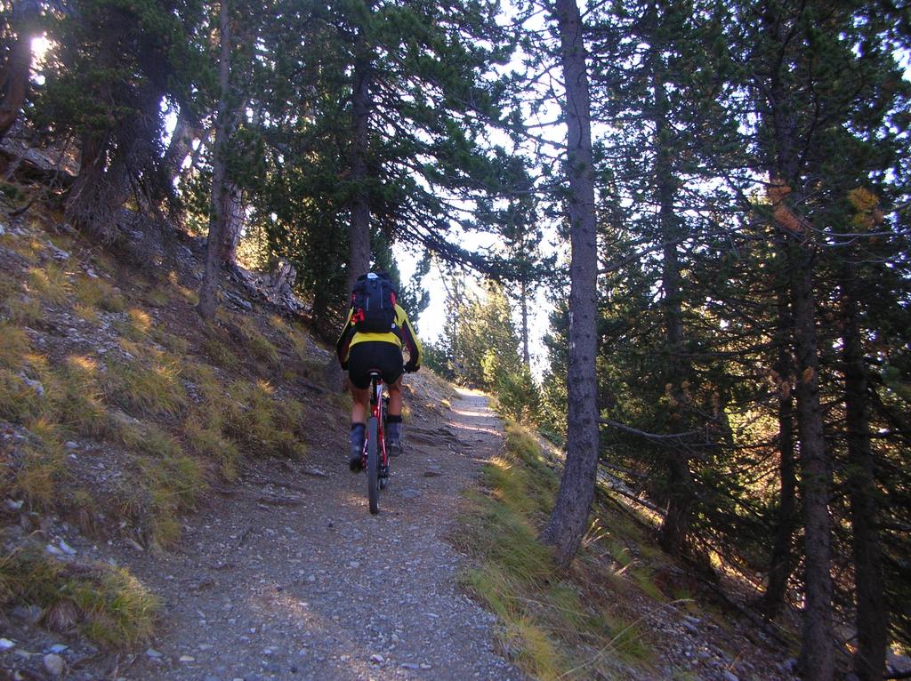
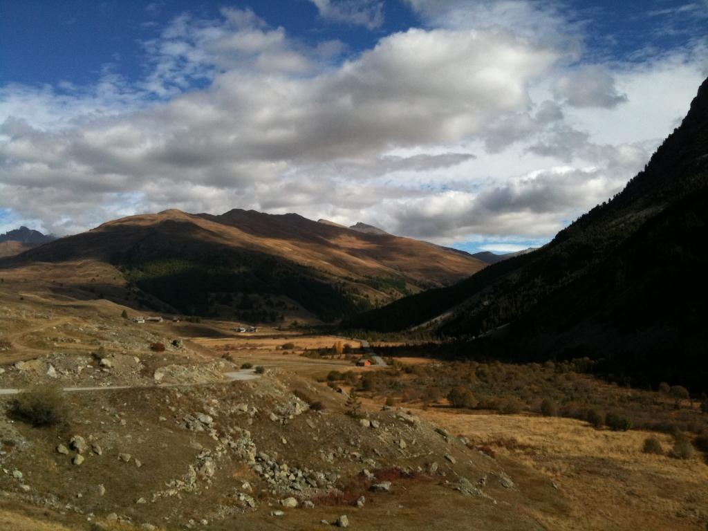
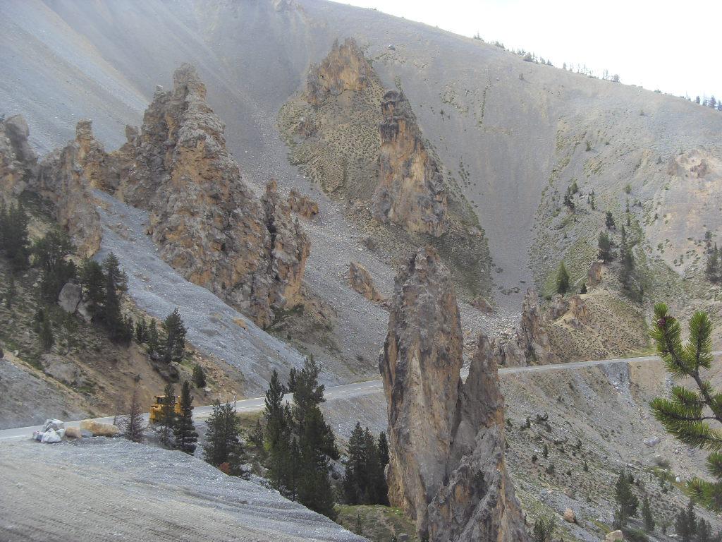
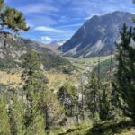
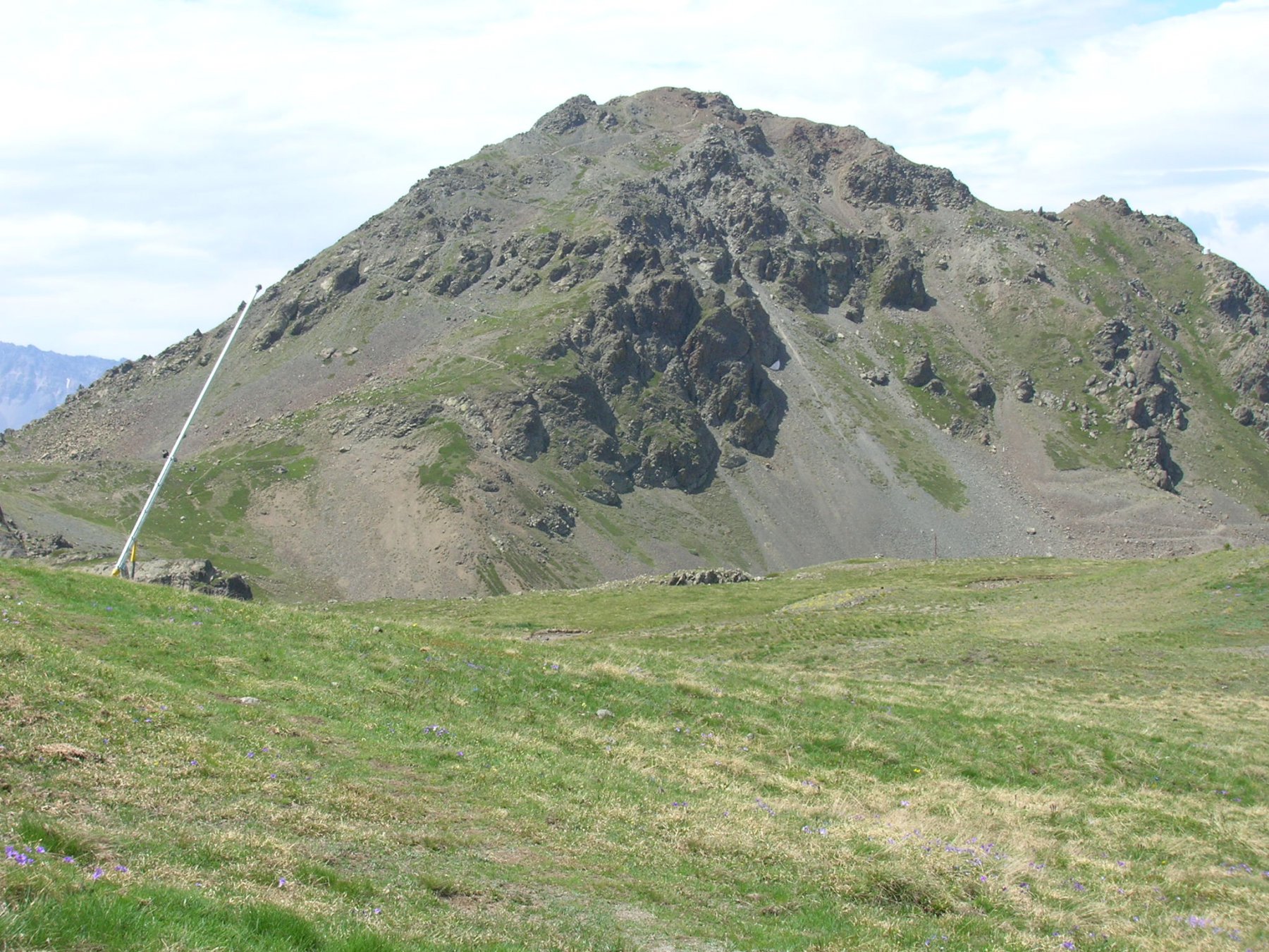
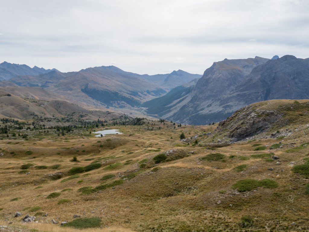
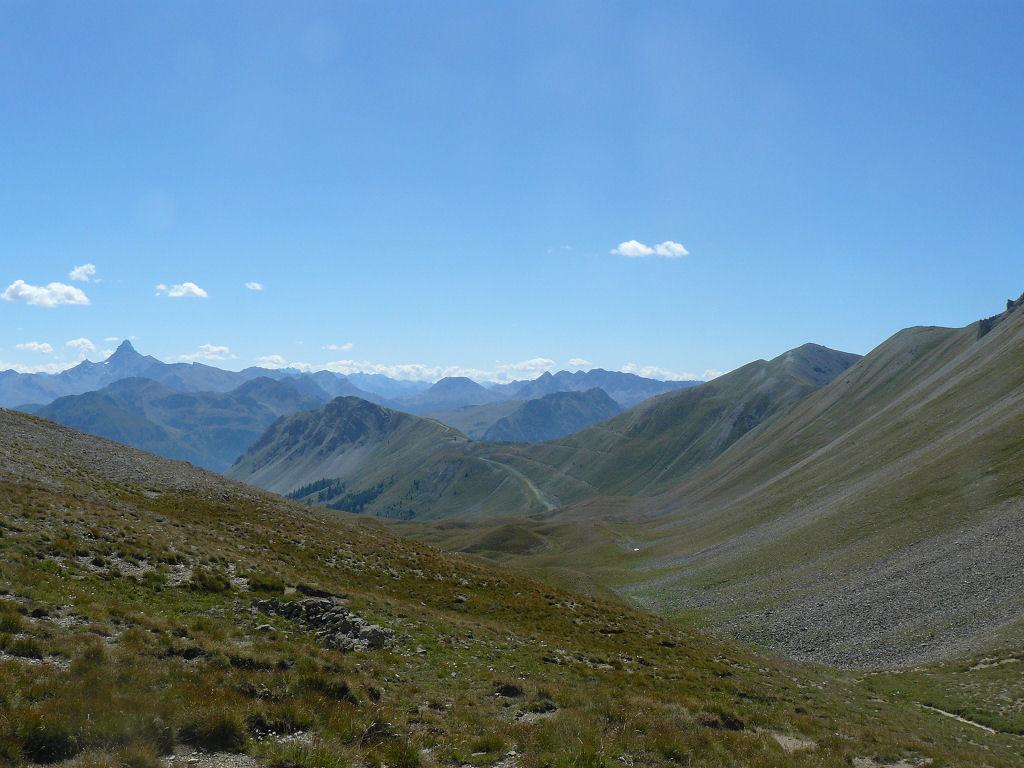
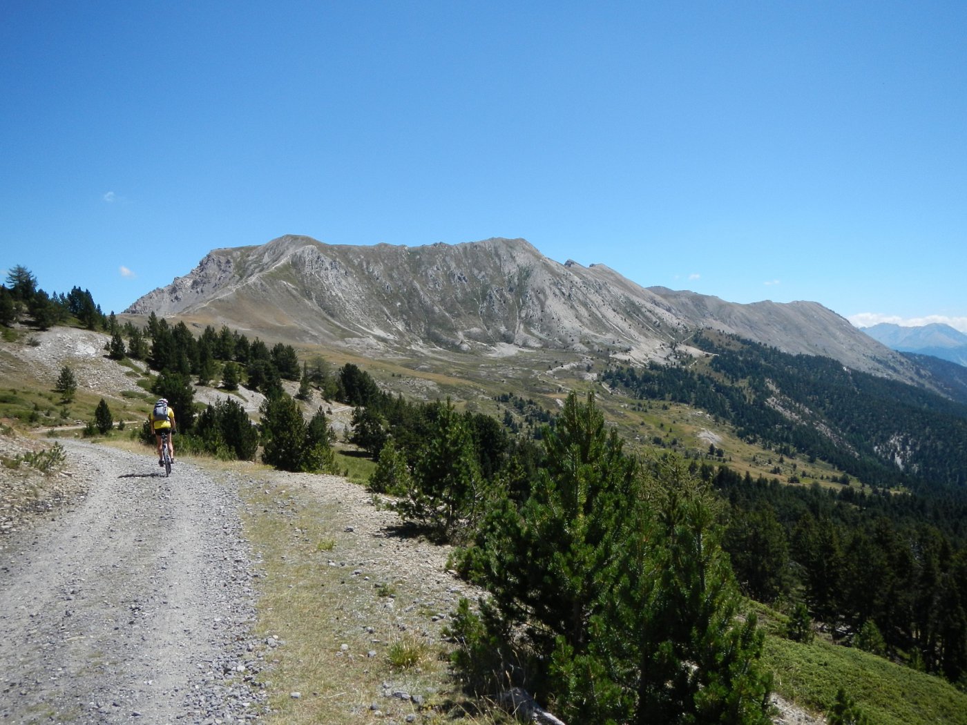
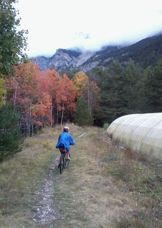
Itinerario molto bello che gira intorno ad una delle più alte montagne del Queyras Settentrionale. Si parte da Cervieres si prosegue per il Colle dell’Izoard, La Casse Deserte, Le Bois Noir, Il lago di Souliers, Le Bois de Souliers, Il lunghissimo ed interminabile Vallone di Pèas il Colle de Peas ed infine le grange di Les Fonds e poi tutta la Valle di Cerveyrette.
Avvicinamento
.
- Bibliografia:
- vedi MTB Piemonte Peverada
Ultima revisione 31/01/2025
Nelle vicinanze Mappa
Itinerari
13/08/2023 Hautes-Alpes, Cervières D+ 1050 m MC, BC, S1 Sud
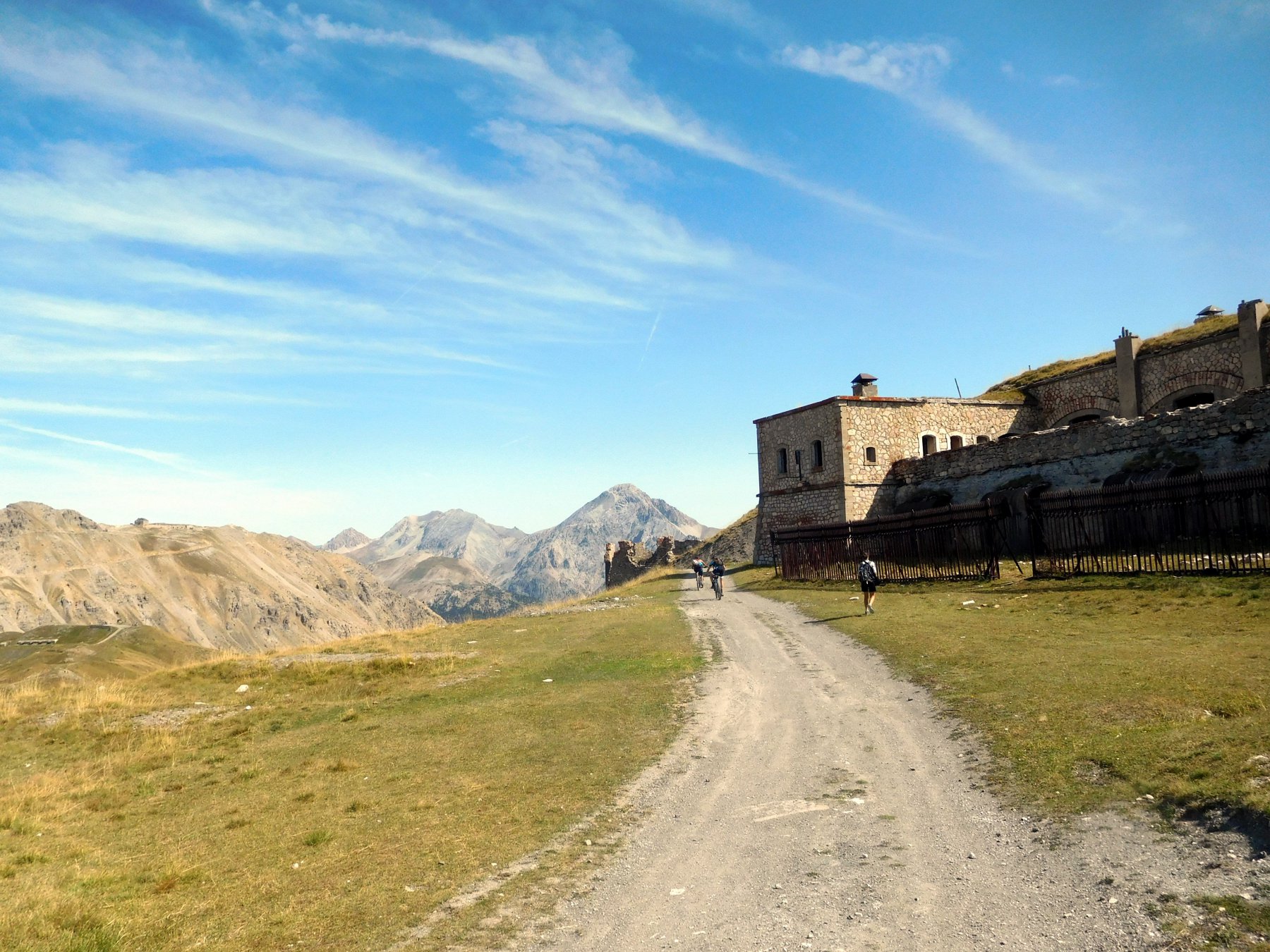
Anges (Sommet des), Fort du Gondran da Cervieres
 50m
50m
23/07/2021 Hautes-Alpes, Cervières D+ 550 m MC, MC+, S1 Varie
Bletonnet (Vallon) da Cervieres
 50m
50m
06/09/2024 Hautes-Alpes, Cervières D+ 936 m BC+, BC, S2 Nord
Lausette (Fort de la) da Cervieres
 50m
50m
08/07/2016 Hautes-Alpes, Cervières D+ 1255 m BC+, OC, S2 Varie
Chenaillet (le) da Cervières, giro
 50m
50m
16/10/2025 Hautes-Alpes, Montgenèvre D+ 1030 m MC, BC, S1 Varie
Janus (Fort du) da Montgenevre, giro per Fort Gondran il Lago Gignoux o dei Sette Colori
 6.7Km
6.7Km
20/08/2017 Hautes-Alpes, Montgenèvre D+ 1025 m BC, BC, S2 Varie
Anges (Sommet des), Fort du Gondran da Montgenevre, giro per il Lago Gignoux, Colletto Verde e la valle dei Mandarini
 6.7Km
6.7Km
03/09/2010 Hautes-Alpes, Montgenèvre D+ 900 m BC+, OC, S2 Sud
Trois Freres Mineurs (Col des) da Montgenevre per il Vallone del Rio Secco
 7.3Km
7.3Km
06/07/2026 Hautes-Alpes, Val-des-Prés D+ 1300 m MC, BC+, S1 Est
Lenlon (Fort de) e Col du Granon da la Vachette, giro per il Fort de l’Olive e la Croix de Toulouse
 7.6Km
7.6Km
06/07/2020 Hautes-Alpes, Val-des-Prés D+ 250 m TC, MC, S0 Est
Clarée (Val de la) da la Vachette, piste ciclabili
 7.7Km
7.7Km
23/08/2024 Hautes-Alpes, Villar-Saint-Pancrace D+ 1780 m BC+, BC+, S3 Varie
Ayes, Néal, Lauzon (Colli) dal Lac de l’Orceyrette, giro per l’Echaillon e Chalets de Clapeyto
 7.7Km
7.7Km