5.6Km
5.6Km
Note
 800m
800m
850m
850m
850m
800m
800m
850m
850m
850m
5.6Km
5.7Km
5.7Km
5.8Km
5.8Km
5.9Km
6.9Km
6.9Km
7.1Km
7.4Km
NOTE:
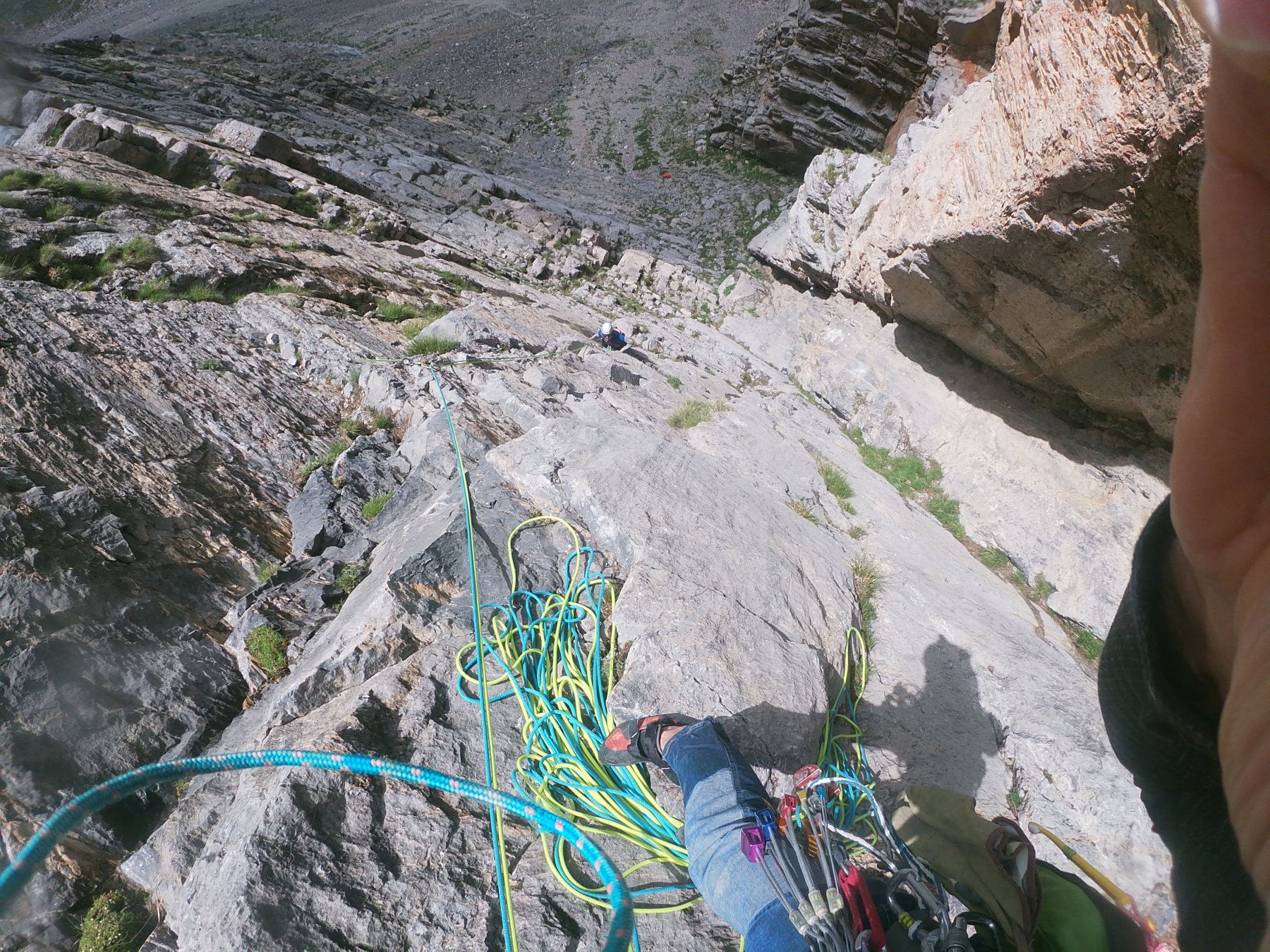
La via è attrezzata con 50 fix inox soste comprese, portre serie di camalot fino al giallo e una piccola scelta di nuts.
Cordini per le prime due soste( 2 fix non collegati)
Avvicinamento
La via è attrezzata con 50 fix inox soste comprese, portre serie di camalot fino al giallo e una piccola scelta di nuts.
Cordini per le prime due soste( 2 fix non collegati)
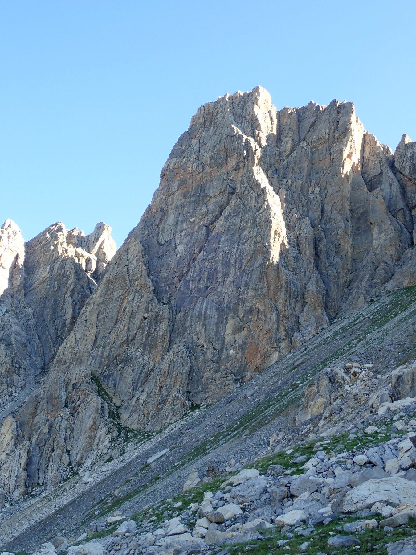
Da Cuneo a Demonte in Valle Stura per poi risalire tutto il vallone dell’arma fino
al colle di Valcavera, al bivio svoltare a sinistra. Dopo 250 un secco tornante verso dx fa imboccare uno sterrato. Percorrerlo fino ad oltrepassare delle casermette diroccate al colle della Bandia e dopo circa 700mt alla dx si scorge la parete.
Descrizione
al colle di Valcavera, al bivio svoltare a sinistra. Dopo 250 un secco tornante verso dx fa imboccare uno sterrato. Percorrerlo fino ad oltrepassare delle casermette diroccate al colle della Bandia e dopo circa 700mt alla dx si scorge la parete.
Per facili praterie fino alla base (20 min)
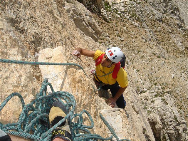
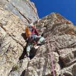
Attacco (vedi foto) spit con cordino verde
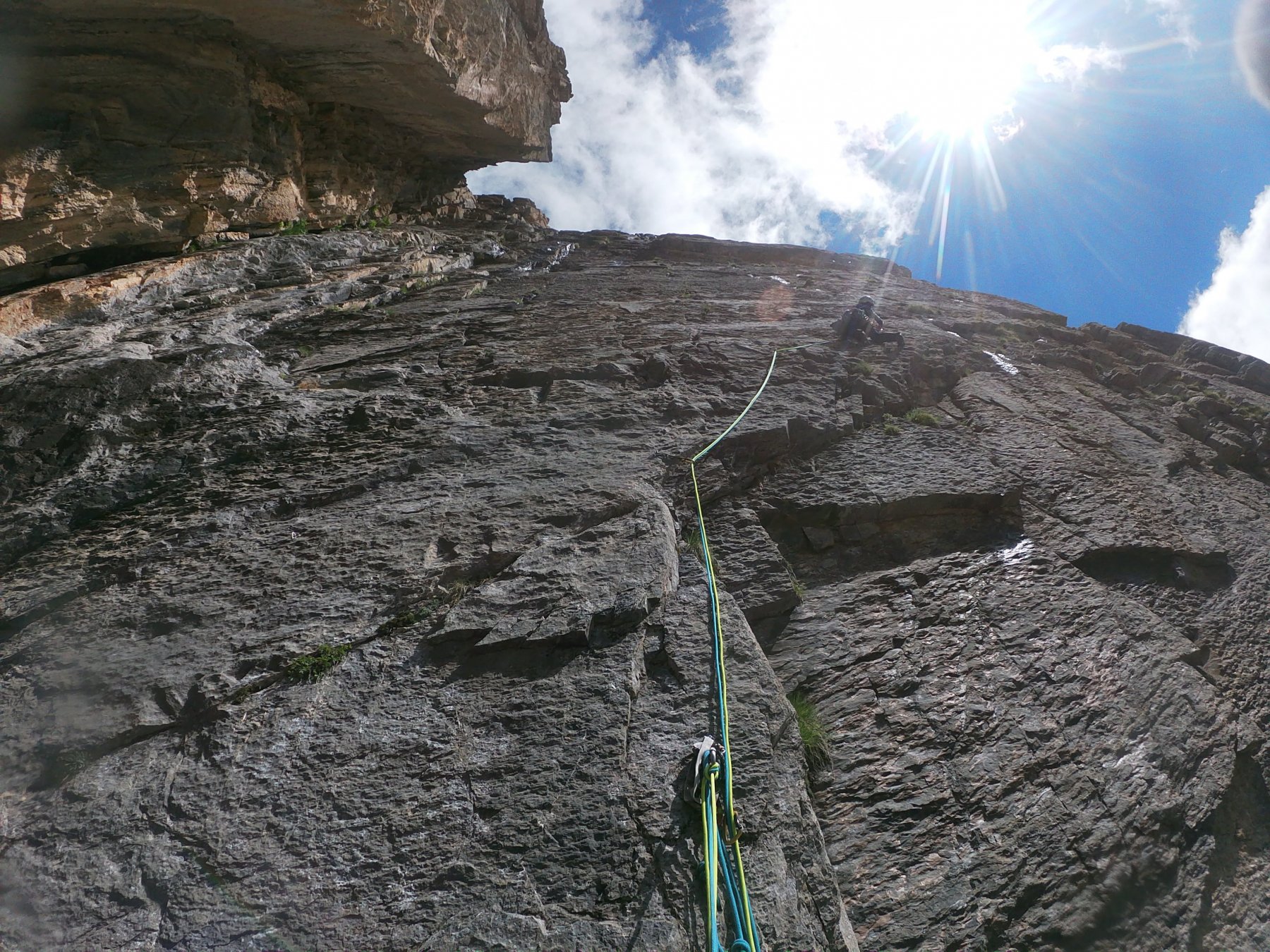
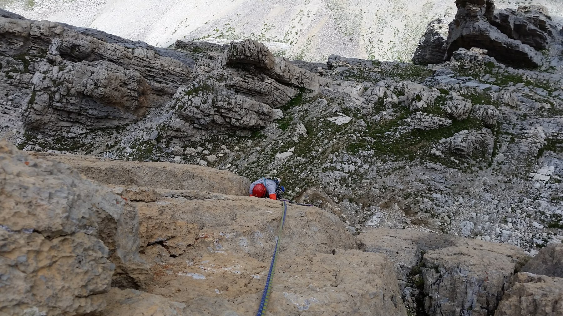
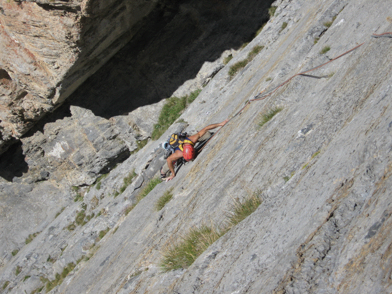
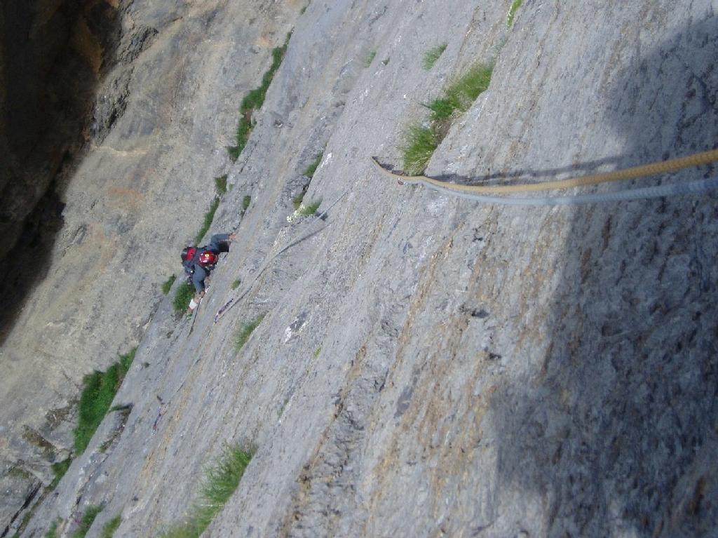
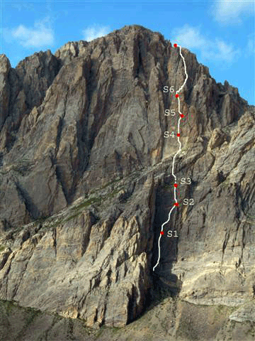
La via supera la prima parte di parete con tre magnifiche lunghezze.
L1 6a+ placca e pilastro
L2 6c placca a gocce
L3 6a+ diedro strapiombante e placca
Si arriva ad una cengia erbosa che collega la seconda parte 60 mt con passo di 4+
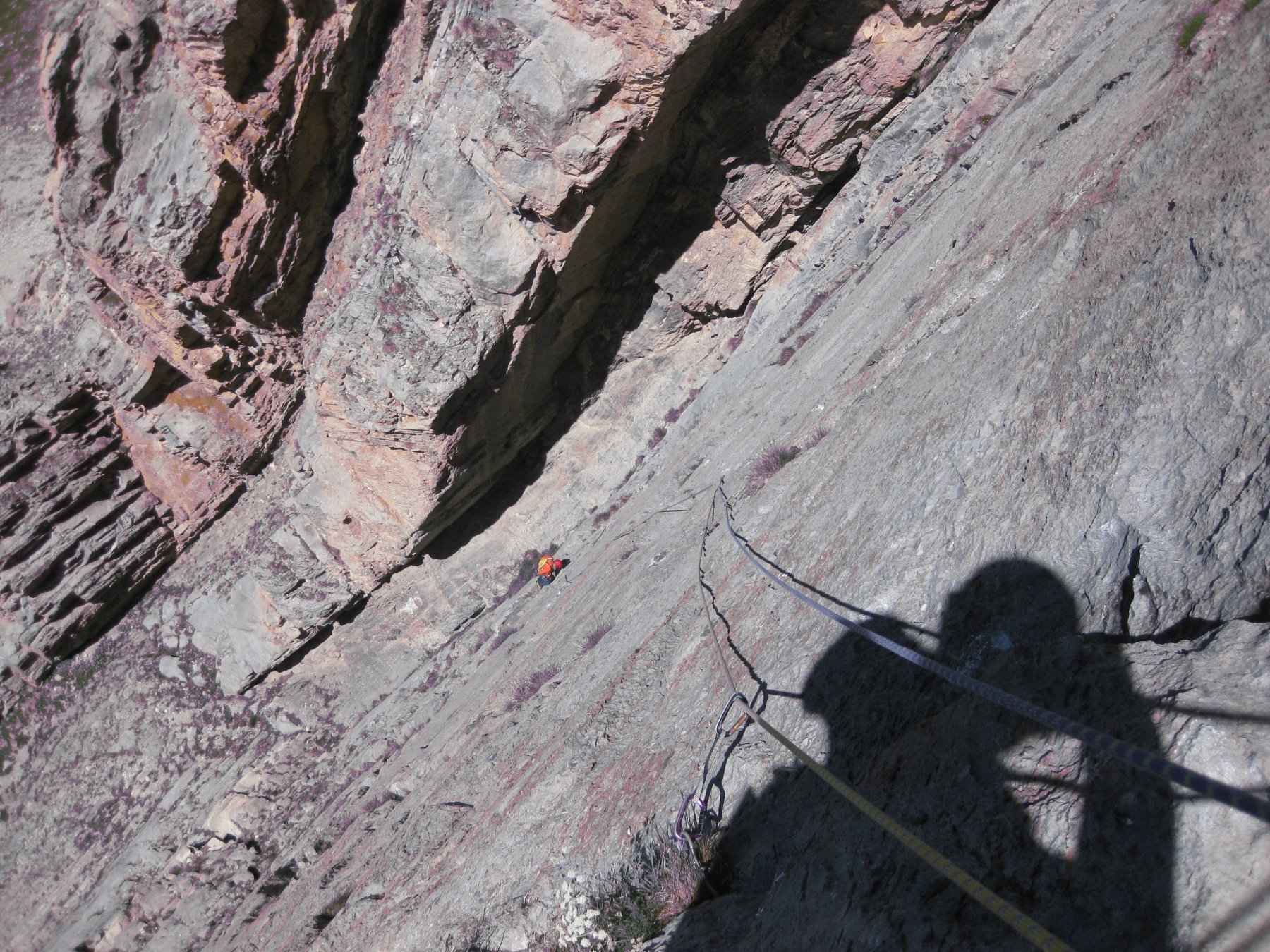
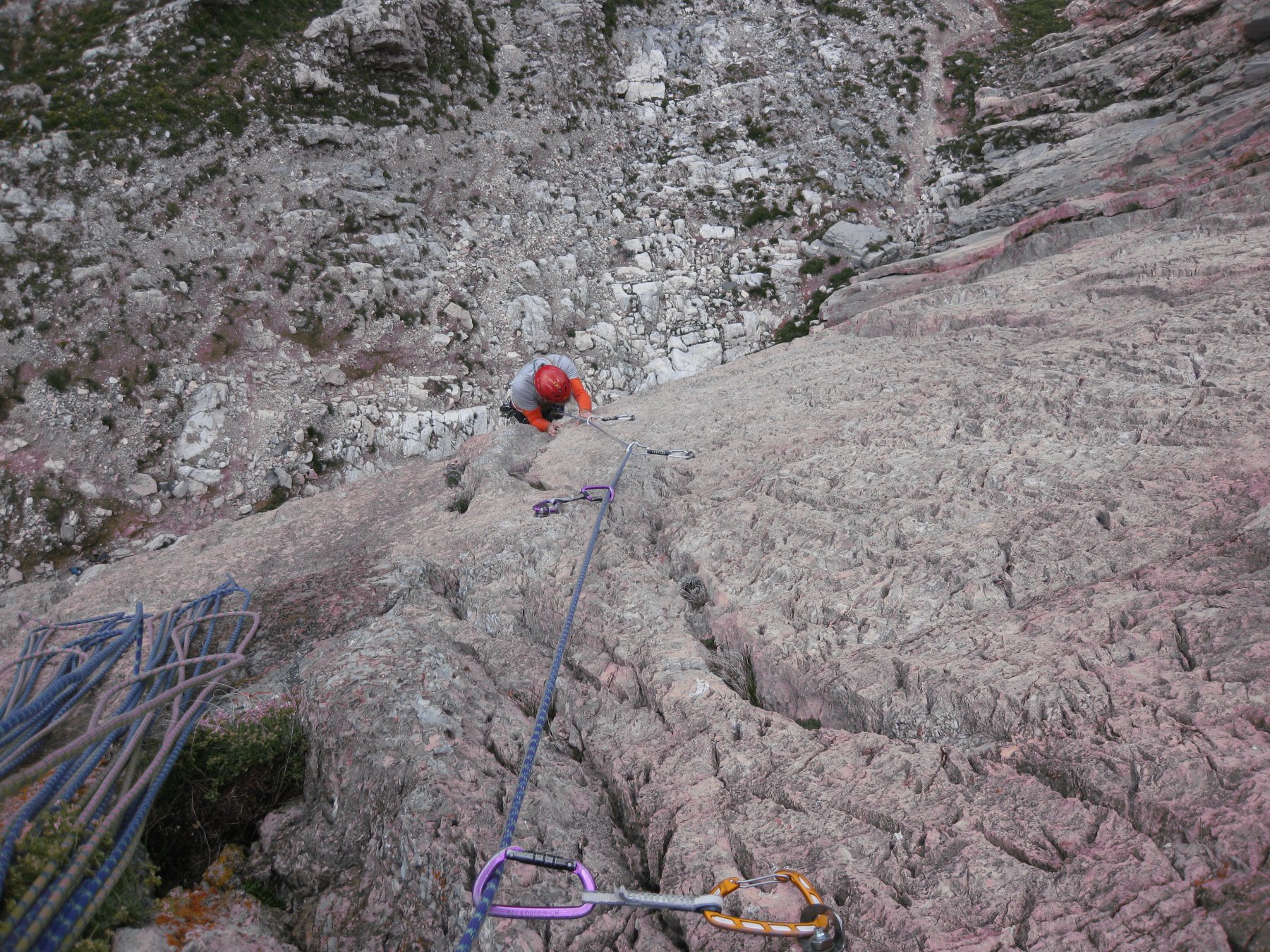
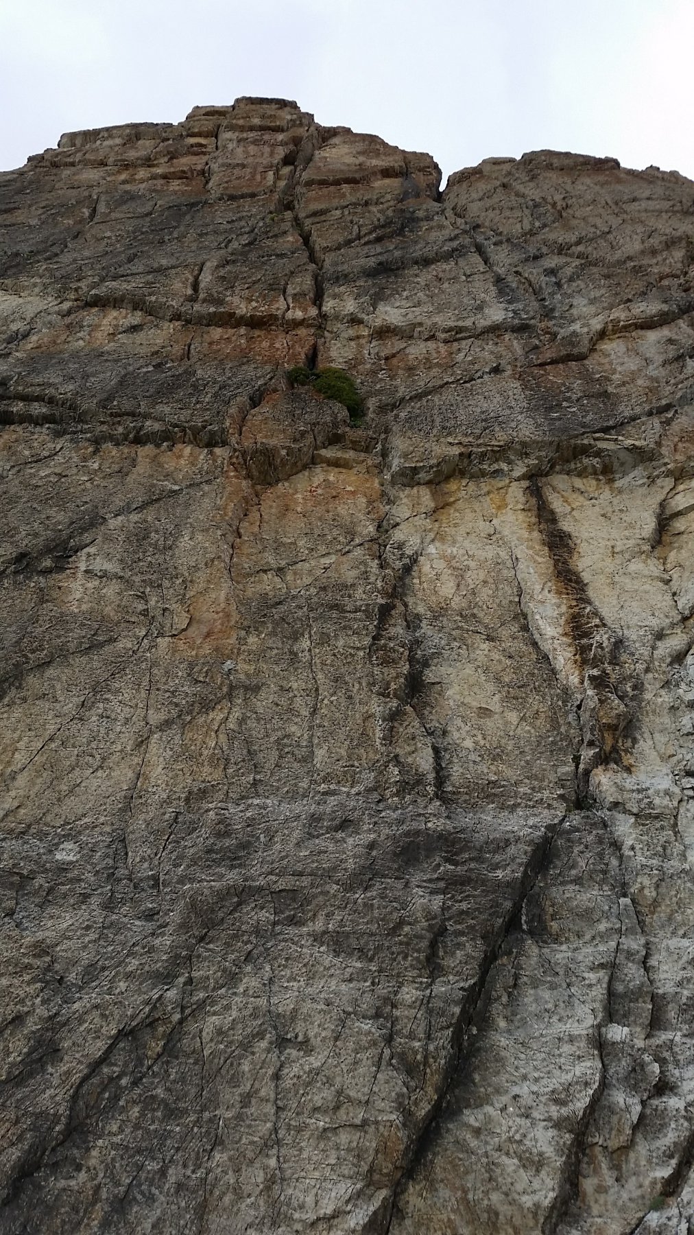
Si arriva alla base dell’evidente torre rossa (spit all’attacco con cordone rosso)
L4 6b+ muro a gocce e strapiombo
L5 6c+ placca lavorata e leggero strapiombo ( 30mt)
L6 6c+ placca e fessura
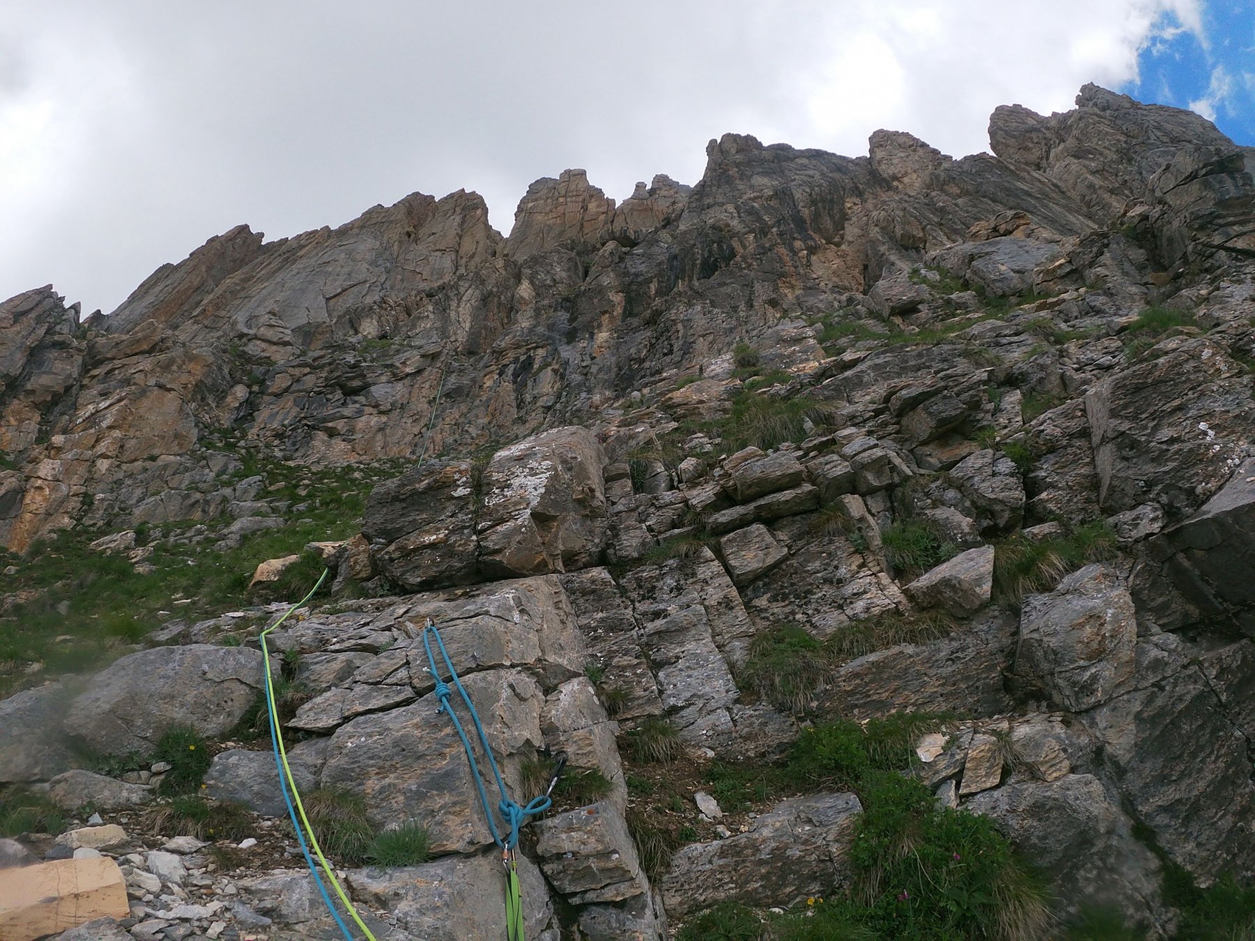
Da questo punto e attrezzato per la discesa in corda doppia fino alla cengia della normale da cui
si scende fino alla base.
Se si vuole continuare fino in vetta aggirare a sx il torrione e continuare per cresta e canale fino all’evidente gendarme sommitale. Da li in breve ricongiungersi alla normale e in vetta.
DISCESA:
Se si sale in vetta dalla normale, tramite un facile sentiero.
Da S6 si scende in doppia fino alla cengia mediana dove passa normale.
- Bibliografia:
- L.Belliardo F.Bottero - Rocca la Meja AlpClimbing - I libri della Bussola - 2011
Nelle vicinanze Mappa
Itinerari
17/07/2010 CN, Canosio 6c, 6b obbl. Sud
Meja (Rocca la) – Via Massimo Romanelli + Jogging Into Wall
550m
16/12/2022 CN, Pietraporzio 6a+, 6a+ obbl. Sud
Meja (Rocca la) – Avessi 2 anni in meno
600m
31/10/2009 CN, Canosio 6a, 6a obbl. Sud-Ovest
Meja (Rocca la) – Sperone Nord-Ovest
650m
25/07/2016 CN, Canosio 6c, 6b obbl. Sud
Meja (Rocca la) – Via Massimo Romanelli + Il Bidone
650m
12/06/2010 CN, Canosio 6b+, 6a obbl. Sud
Meja (Rocca la) – Palpapupum
800m
06/07/2025 CN, Canosio 6c, 6a+ obbl. Sud-Ovest
Meja (Rocca la) – In Meja Stat Virtus
 800m
800m
08/06/2025 CN, Pietraporzio 6c, 6a+ obbl. Sud
Meja (Rocca la) – Ginko Biloba
 800m
800m
27/07/2025 CN, Canosio 6b+, 6a obbl. Sud
Meja (Rocca la) – Così Vicino Così Lontano
 850m
850m
15/09/2024 CN, Canosio 6b+, 6a obbl. Sud
Meja (Rocca la) – Rolling Stones
 850m
850m
03/08/2025 CN, Canosio 6a+, 6a+ obbl. Sud
Meja (Rocca la) – Eterni Peterpan
 850m
850m
Servizi
5.6Km
5.7Km
La meridiana Ristorante
Sambuco
5.7Km
Le Radici B&B
Sambuco
5.8Km
Mascha Parpaja Rifugio
Canosio
5.8Km
Lou Lindàl Rifugio
Canosio
5.9Km
Radici B&B
Sambuco
6.9Km
Brec Dal Vern Rifugio
Marmora
6.9Km
Ostello Centosentieri Albergo
Pietraporzio
7.1Km
L’Oste d’oc Ristorante
Pietraporzio
7.4Km