3.9Km
3.9Km

Note
 2.5Km
2.5Km
2.5Km
4Km
25Km
2.5Km
2.5Km
2.5Km
4Km
25Km
Si incontrano piccole difficoltà, per chi non è abituato, dovute alla ferrata attrezzata per accedere fino al Rifugio Borelli
Avvicinamento
,
Descrizione
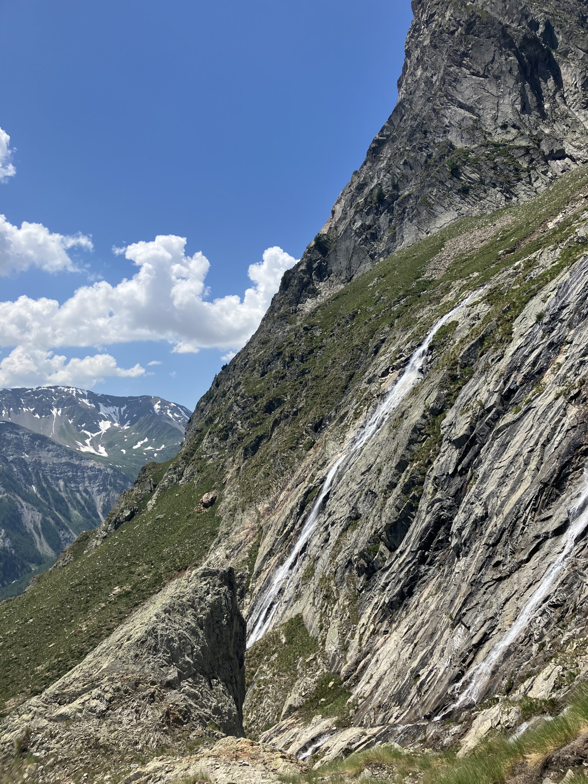
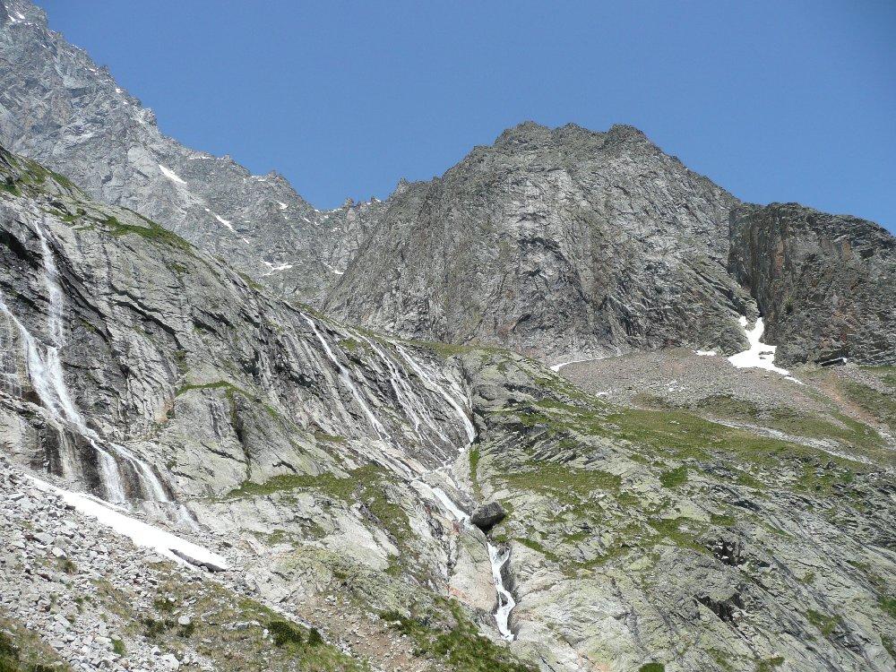
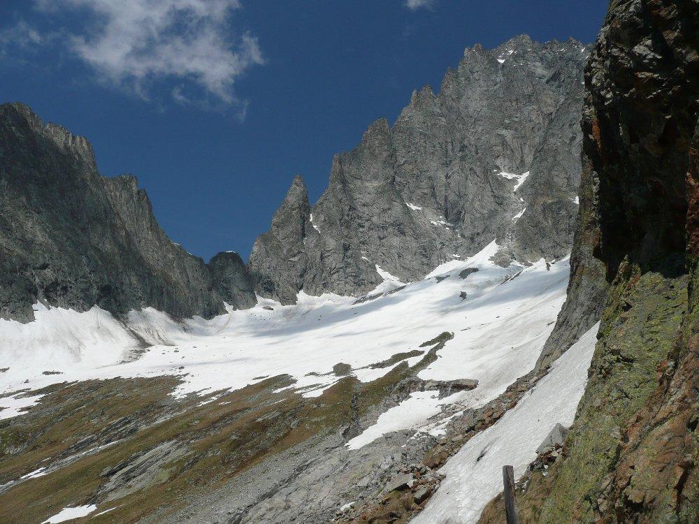
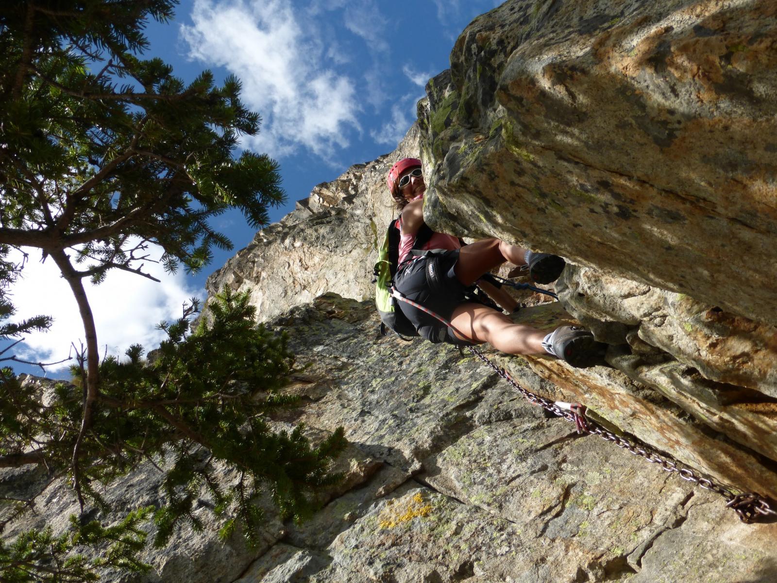
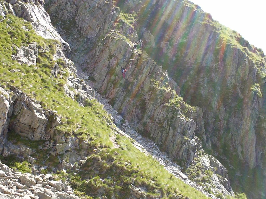
Dalla Fraz. Peuterey s’innalza il sentiero che porta all’attacco della ferrata.
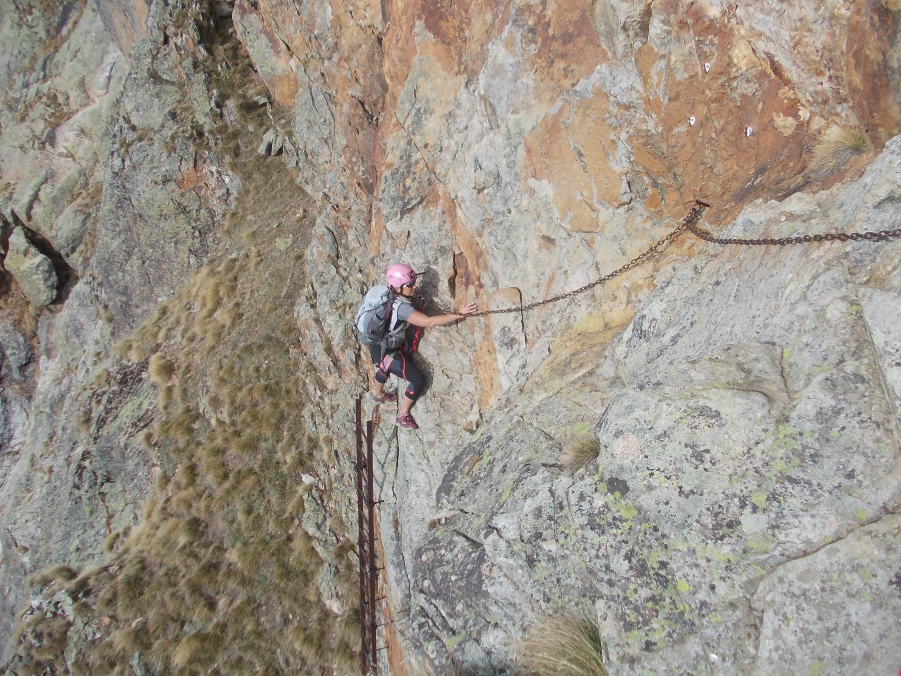
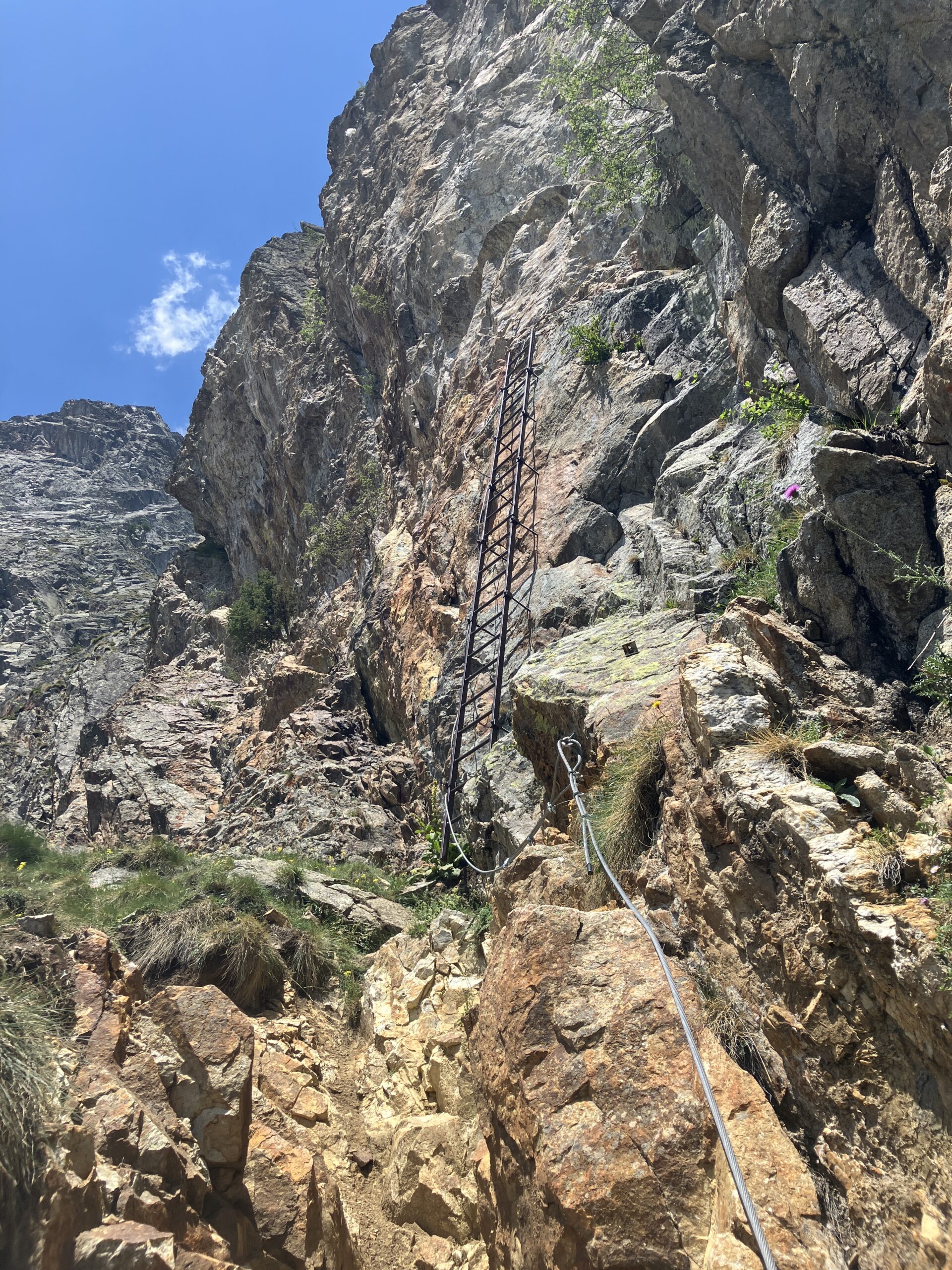
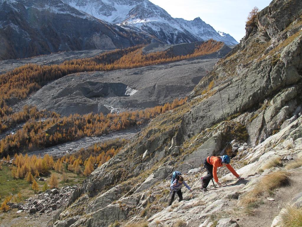
La ferrata non è difficile ma ha qualche passaggio dove si è esposti con la parete di roccia bella in verticale e qualche appoggio non semplicissimo per chi non è abituato a questo tipo di escursioni.
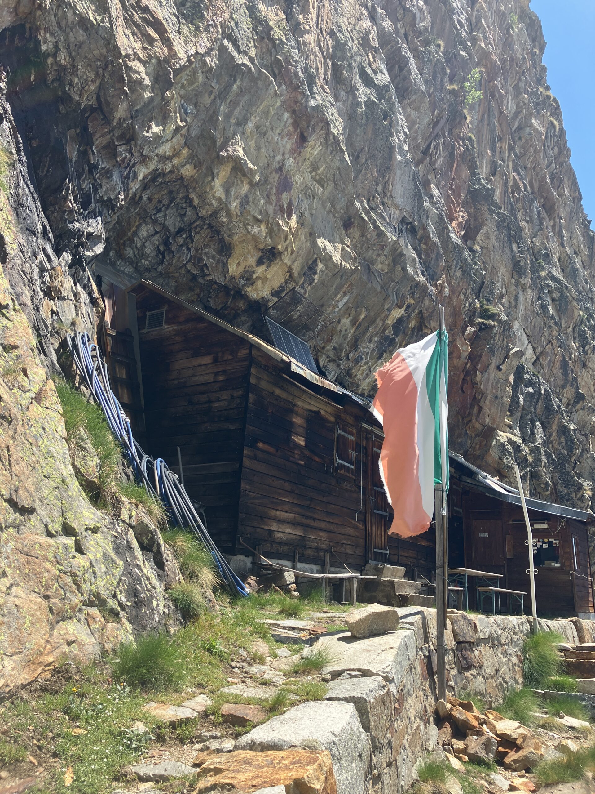
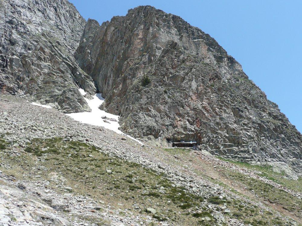
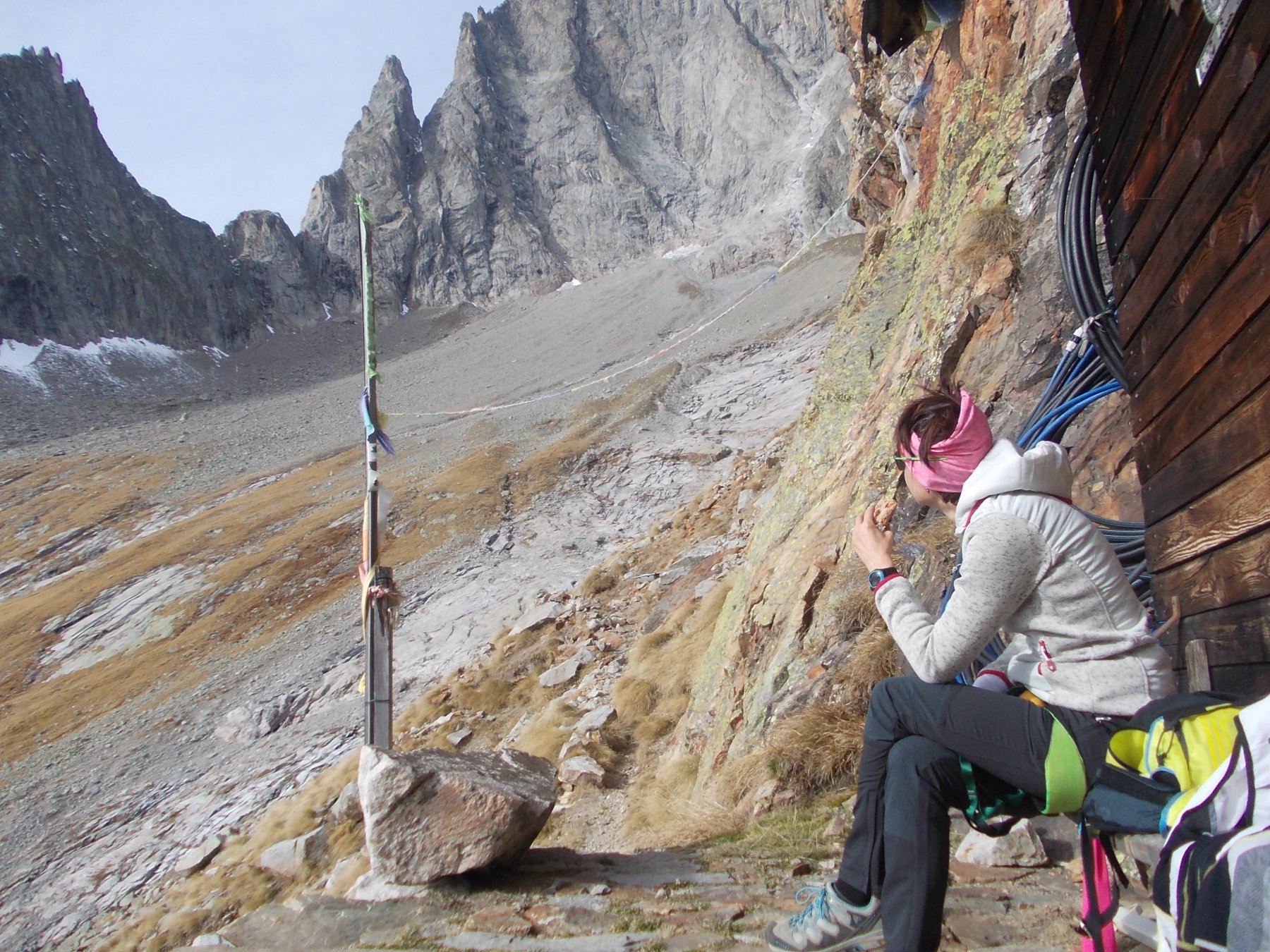
A differenza di altre ferrate dove per il rientro si utilizza un sentiero, questa si è costretti a rientrare dal percorso di salita. Passato il salto di roccia si ha poi un comodo sentiero fino al rifugio, incassonato sotto il roccione.
Nelle vicinanze Mappa
Itinerari
18/07/2026 AO, Courmayeur 300 m F Sud
Monzino Franco (Rifugio) Via Ferrata Franco Garda
 2.5Km
2.5Km
22/08/2024 AO, Courmayeur 1200 m PD Varie
Chasseur (Col) traversata Rifugio Monzino – Rifugio Borelli per il sentiero attrezzato Too de la Granta Coursa
 2.5Km
2.5Km
09/08/2021 AO, Courmayeur F Sud-Ovest
Monzino Franco (Rifugio) da la Visaille, vecchio sentiero Capanna Gamba
 2.5Km
2.5Km
13/08/2022 AO, Courmayeur 130 m AD Est
Brenva (Monte della) Sentiero Francesco e Giuditta Gatti
 4Km
4Km
19/08/2025 AO, Valgrisenche 1300 m PD Varie
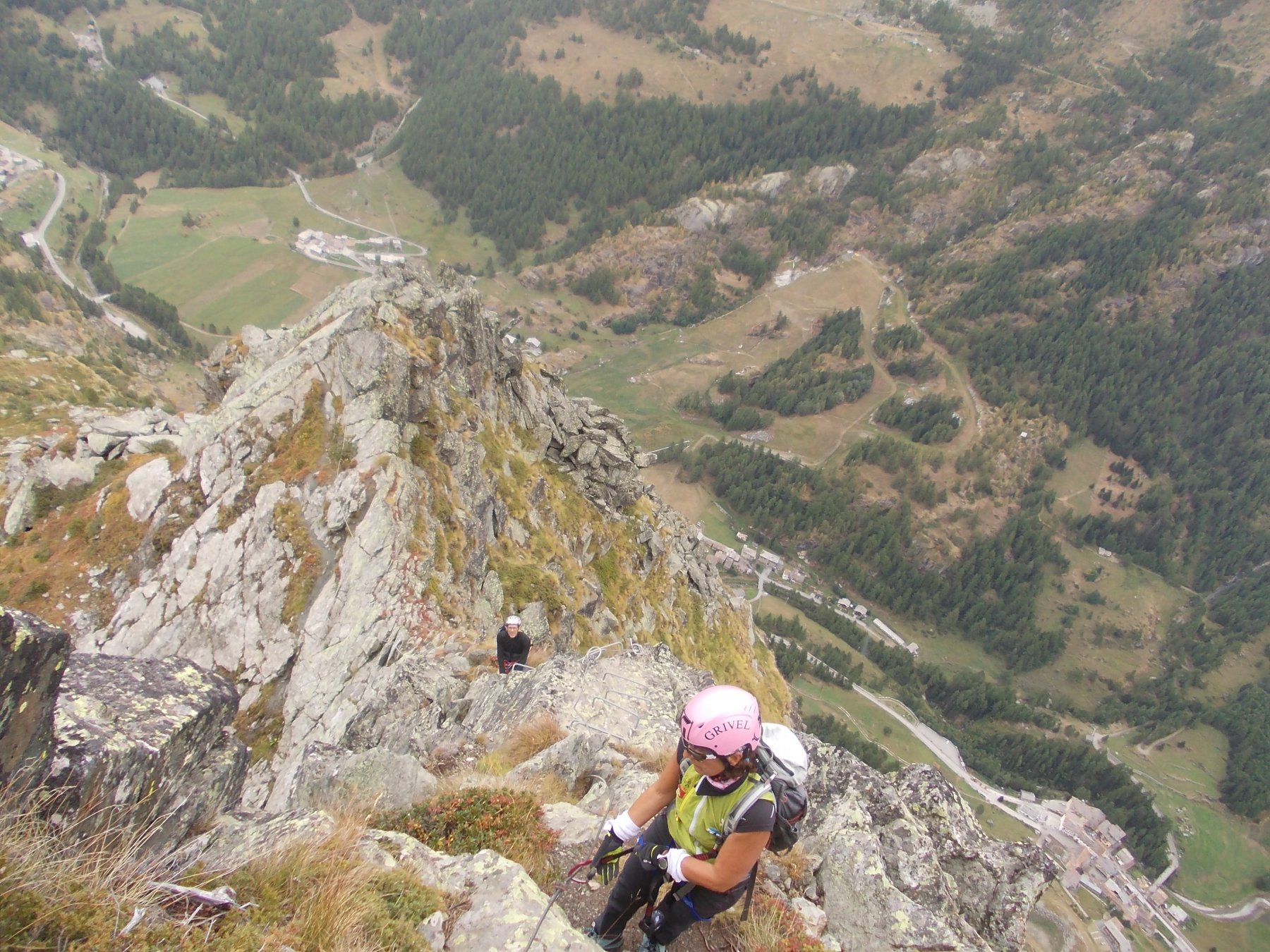
Aouille (Becca dell’) Via Ferrata Bethaz-Bovard
 25Km
25Km