5.2Km
5.2Km
Note
 0m
0m
0m
0m
50m
50m
50m
50m
50m
50m
0m
0m
0m
0m
50m
50m
50m
50m
50m
50m
Pericoli oggettivi: a stagione inoltrata o in assenza di neve caduta pietre sulla Face S prima di arrivare in cresta. Per il resto normali precauzioni sul ghiacciaio... molto crepacciato.
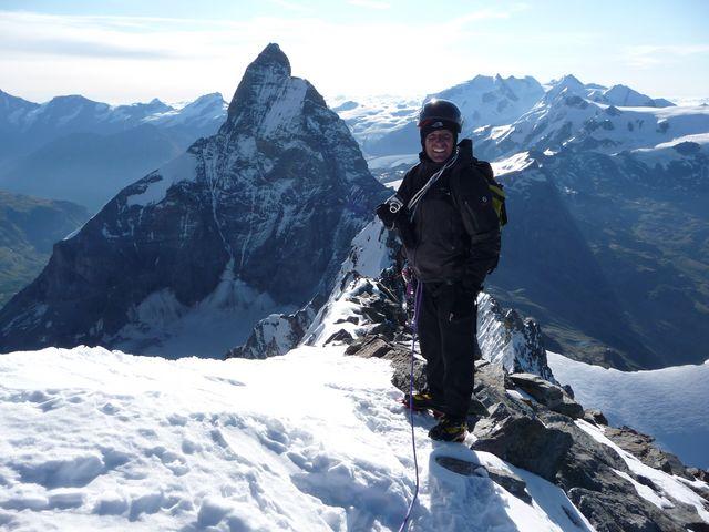
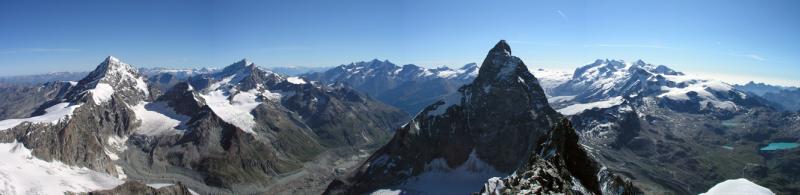
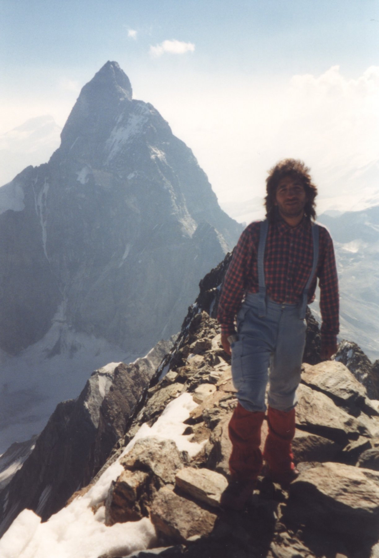
Piaceri: l'ascensione ad uno dei 4000 più selvaggi e affascinanti delle Alpi. Colpo d'occhio sul Cervino irripetibile.
Descrizione
Piaceri: l'ascensione ad uno dei 4000 più selvaggi e affascinanti delle Alpi. Colpo d'occhio sul Cervino irripetibile.
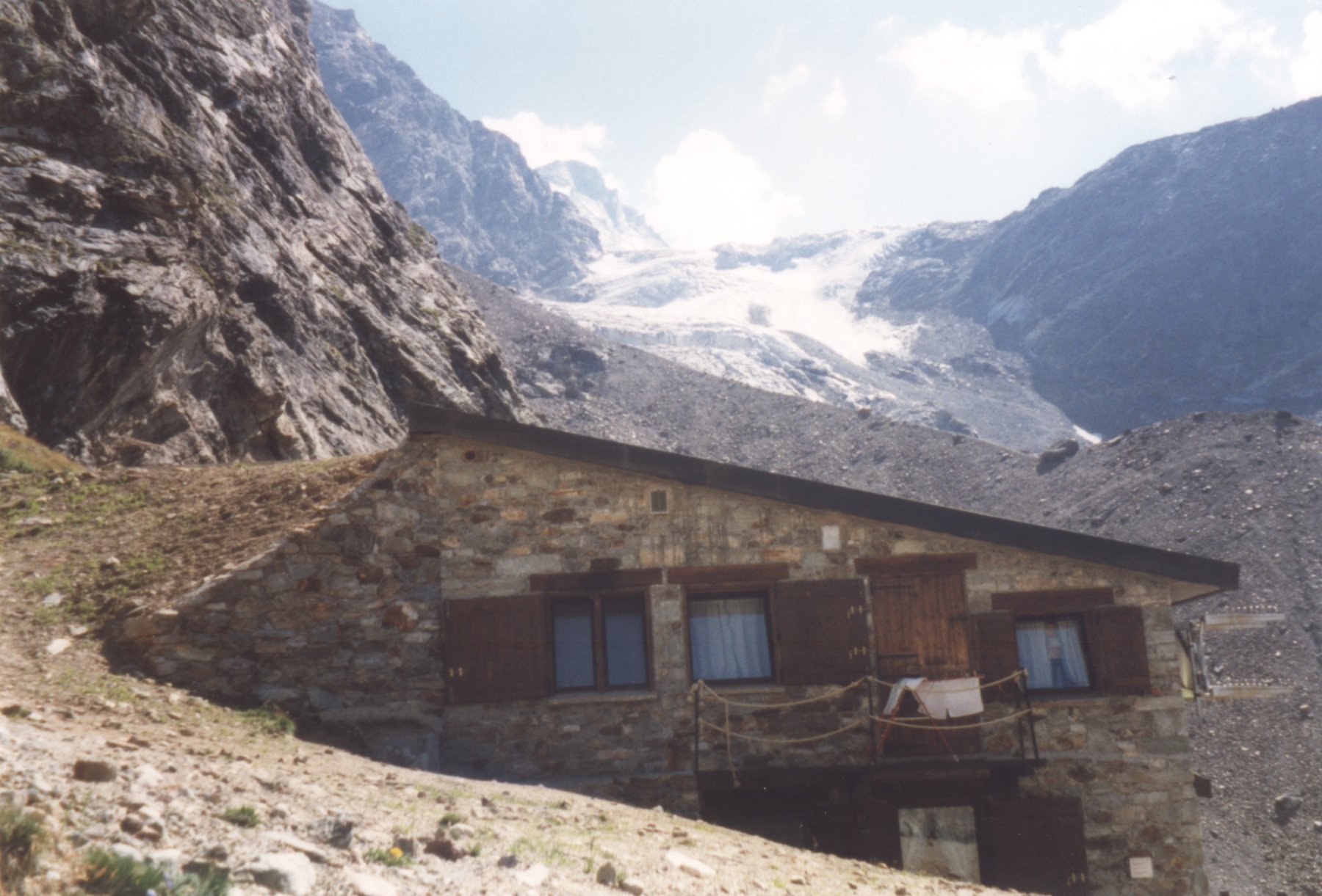
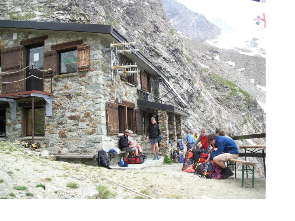
Dalla diga di Place Moulin (1980 m.) si costeggia il bacino artificiale in direzione del Rif. Aosta (it. 10a). Si passa accanto al Rif. Prarayer e dopo un lungo tratto pianeggiante si superano due rampe e si giunge al Rif. Aosta (2780 m.). Breve tratto attrezzato con catene. Dal parcheggio 3.30 – 4 ore.
Dal rifugio la Dent d’Herens è visibile solo per la parte culminante.
Dal Rif. Aosta si ridiscende di circa 50 m. sulla morena del ghiacciaio e seguendo le tracce si raggiunge la cresta morenica ben evidente dal rifugio che porta al ghiacciaio.
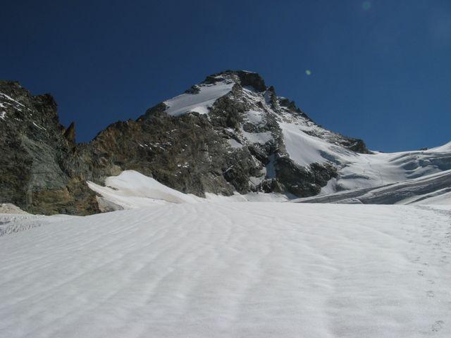
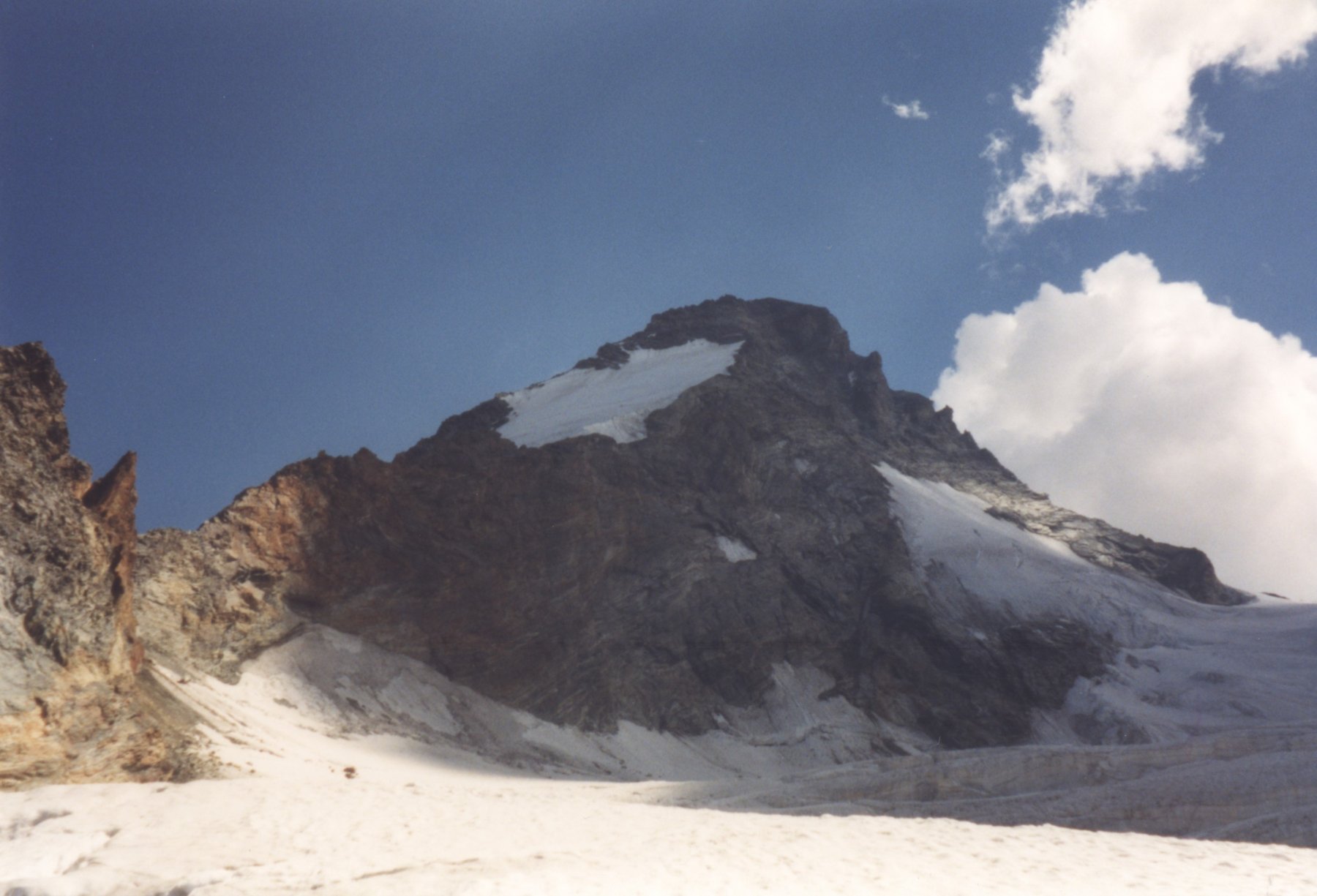
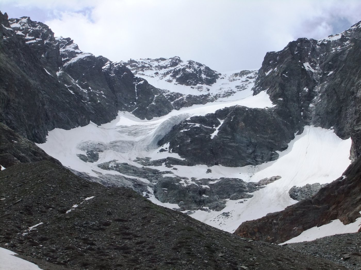
Si percorre il ghiacciaio tenendosi a sulla sx, in breve dopo aver scollinato si vede bene la montagna.
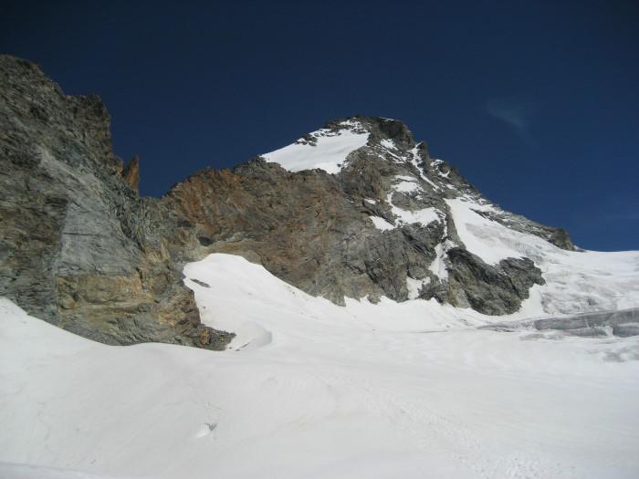
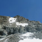
Si passa sotto il colle Tiefenmatten (ben visibile il canapone di accesso alla cresta) e si prosegue in direzione della face Sud della Dent d’Herens.
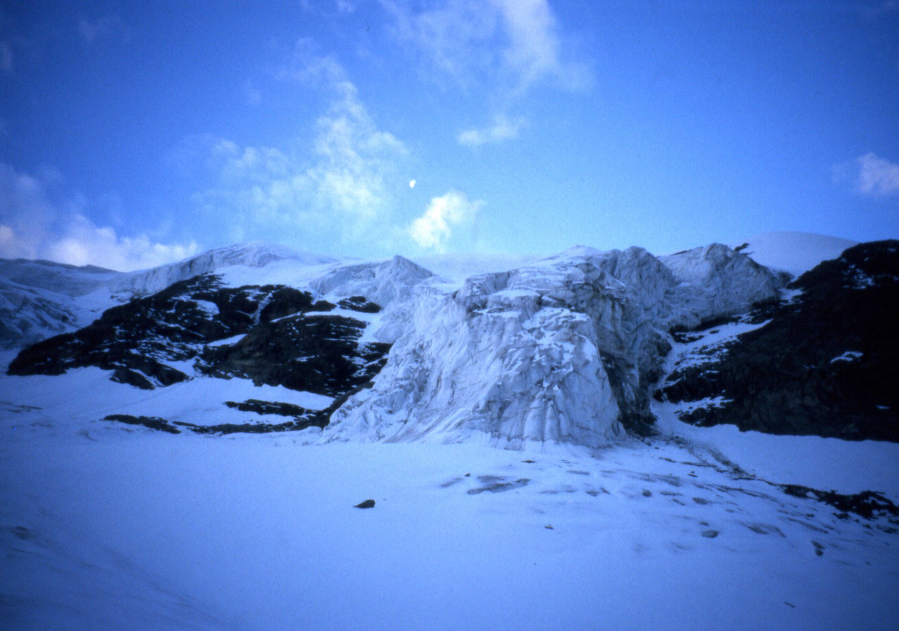
Per arrivare alla crepaccia terminale o si prosegue dritti su pendio a 45° in mezzo alle due piccole fasce di seracchi oppure si può fare il giro largo prima destra e poi sinistra per ritornare sotto la parete.
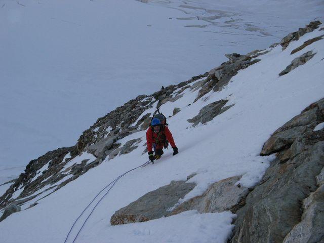
Superata la terminale (a volte molto aperta) si prosegue sulla parete su percorso non obbligato sino a raggingere il pendio nevoso Ovest dove si incontrano le eventuali cordate dalla cresta Tiefenmatten. Il percorso di qui in poi è in comune.
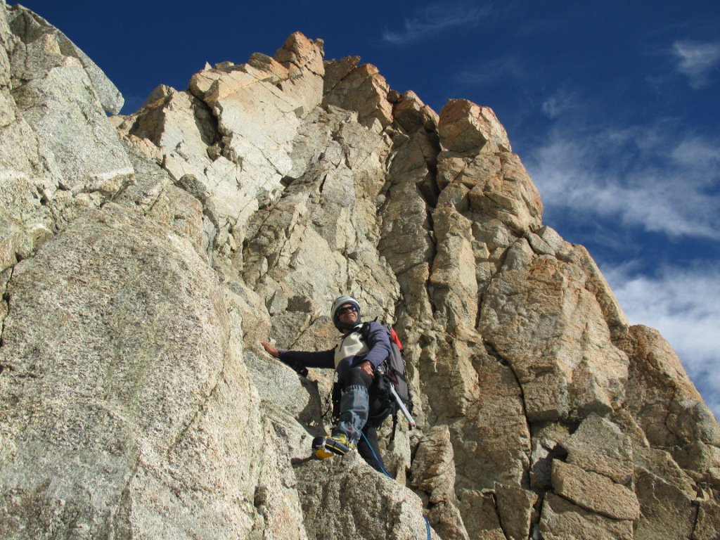
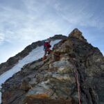
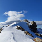
Prima di arrivare sulla cresta sommitale da notare che sono presenti 5 o 6 pioli d’acciaio che possono essere utili per assicurazione o doppie in caso di ghiaccio vivo. Giunti in cresta sommitale è un vero e proprio spettacolo… molto estetica, molto esposta sulla parete Nord.
In breve si raggiunge la vetta ove si può godere di un panorama straordinario, soprattutto sul Cervino. Dal rifugio alla vetta in 5-6 ore.
- Bibliografia:
- CAI-TCI Alpi Pennine v. II; I 4000 delle Alpi R. Godeke; Vie del Cielo M. Colonel
Nelle vicinanze Mappa
Itinerari
23/07/2024 AO, Bionaz D+ 2350 m PD Varie
Eveque (l’) Via Normale dalla Diga di Place Moulin
 0m
0m
15/06/2018 AO, Bionaz D+ 1500 m AD Nord
Tsan o Cian (Dome de) Parete Nord
 0m
0m
22/07/2000 AO, Bionaz D+ 1700 m TD Varie
Kurz (Punta) Parete Nord – Via Manera-Ricompensa 1962
 0m
0m
06/07/2026 AO, Bionaz D+ 2600 m AD Sud-Ovest
Herens (Dent d’) Cresta Tiefenmatten
 0m
0m
10/08/2019 AO, Bionaz D+ 1883 m PD+ Nord-Est
Bouquetins (Dent de) – Cima Centrale dalla Diga di Place Moulin per Versante NE
 50m
50m
27/07/2013 AO, Bionaz D+ 1400 m AD Ovest
Vannetta (Becca) Cresta Ovest
 50m
50m
13/07/2026 AO, Bionaz D+ 2250 m F+ Nord-Ovest
Valpelline (Tète de) Via Normale dalla Diga di Place Moulin per il Rifugio Aosta
 50m
50m
18/07/2014 AO, Bionaz D+ 1900 m AD- Ovest
Collon (Mont) Traversata cresta O – versante sud-est
 50m
50m
28/06/2009 AO, Nus D+ 1370 m PD Nord-Ovest
Tsan o Cian (Punta) da Place Moulin per il Colle di Valcournera e la cresta N/NO
 50m
50m
20/07/2021 AO, Bionaz D+ 2000 m AD Sud-Ovest
Eveque (l’) Cresta SO
 50m
50m