800m
800m
Note
 50m
50m
50m
50m
50m
50m
50m
50m
50m
50m
50m
50m
50m
50m
50m
50m
50m
50m
800m
1.3Km
1.3Km
3Km
4.2Km
4.3Km
4.3Km
4.6Km
5.8Km
7.1Km
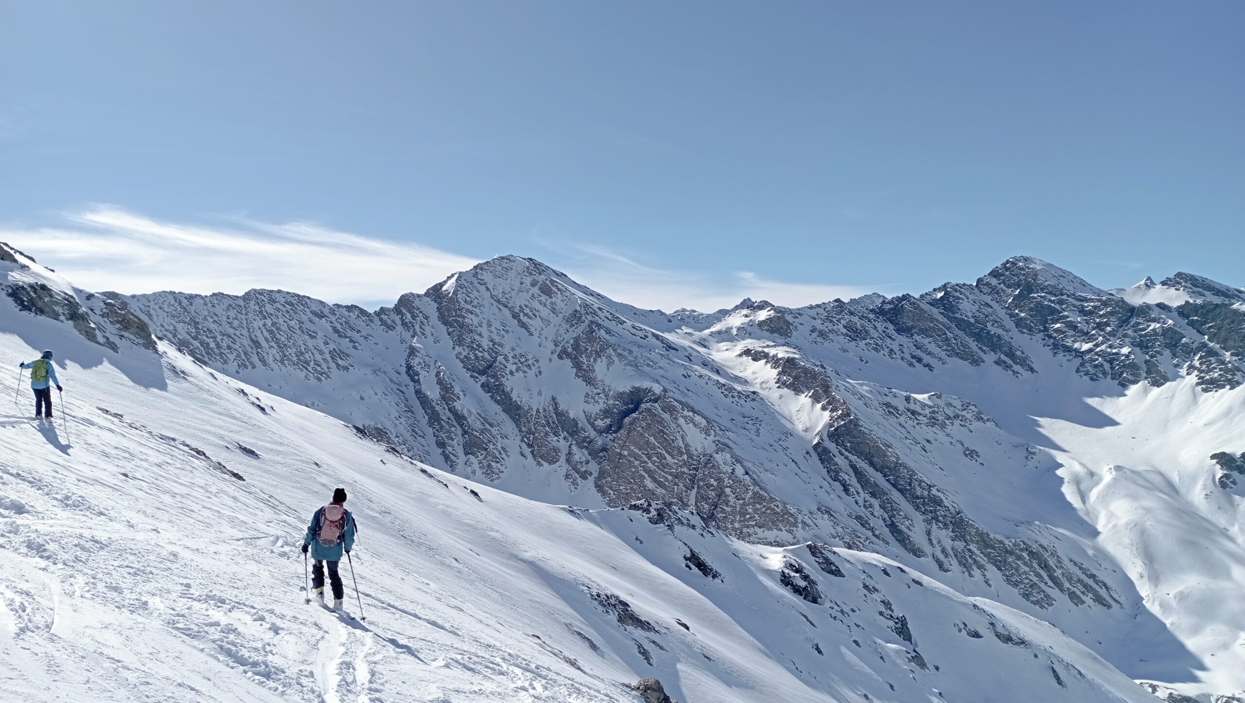
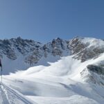
Il bel pendio finale ripaga solo in parte l'estenuante traversata di tutta la strada in fondovalle ma la senzazione di solitudine è decisamente palpabile
Avvicinamento
.
Descrizione
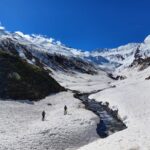
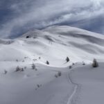
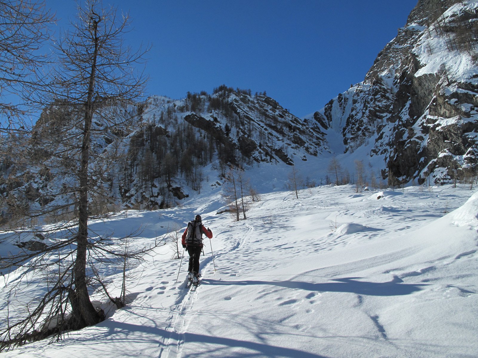
Da Pattemouche percorrere la strada che nella prima parte è adibita a sci di fondo e che entra nella vall troncea. Percorrerla fino all’esaurirsi della valle in prossimità di un’alpeggio.
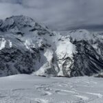
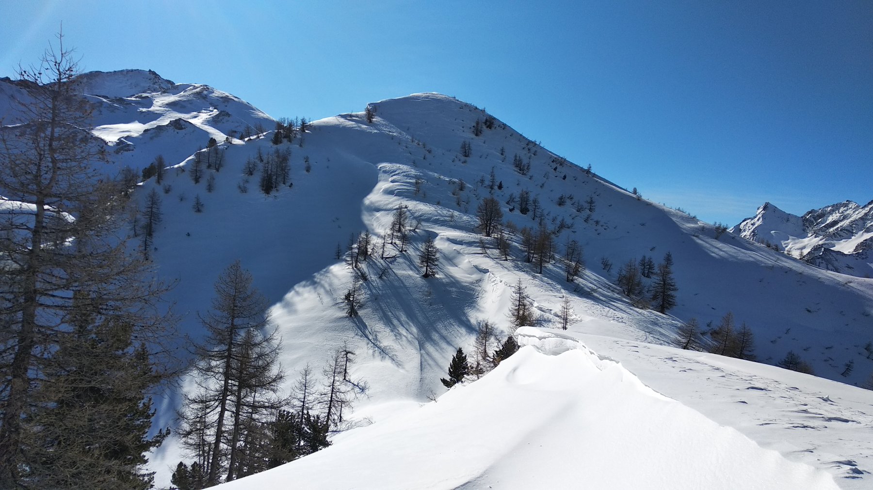
Oltrepassarlo e dopo aver raggirato un costone erboso salire bruscamente per dossi prativi nel centro di un vallone fino ad un anfiteatro esposto a nord-ovest e con inclinazioni ragguardevoli.
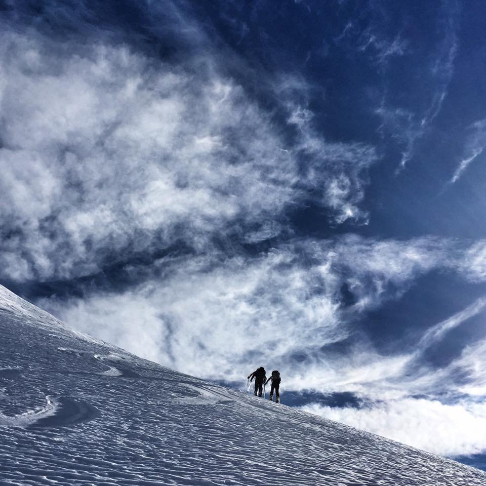
Risalirlo per la via più centrale fino alla vetta che si raggiunge sci ai piedi
- Bibliografia:
- E.Quero. CDA. Valli Pinerolesi. N° 48
Nelle vicinanze Mappa
Itinerari
08/03/2026 TO, Pragelato D+ 1156 m BS Nord-Ovest
Pelato (Monte) da Pattemouche
 50m
50m
01/04/2018 TO, Pragelato D+ 1306 m BS Nord-Ovest
Peolioso (Monte) da Pattemouche
50m
19/05/2024 TO, Pragelato D+ 1350 m BS Nord
Lungin (Monte) da Pattemouche
 50m
50m
12/01/2015 TO, Pragelato D+ 1485 m OS Sud-Ovest
Fea Nera da Pattemouche per il Versante SO dal Colle del Pis
 50m
50m
21/03/2026 TO, Pragelato D+ 1250 m BS Nord-Est
Pra Crò (Punta) da Pattemouche
 50m
50m
24/03/2026 TO, Pragelato D+ 1820 m BS Nord
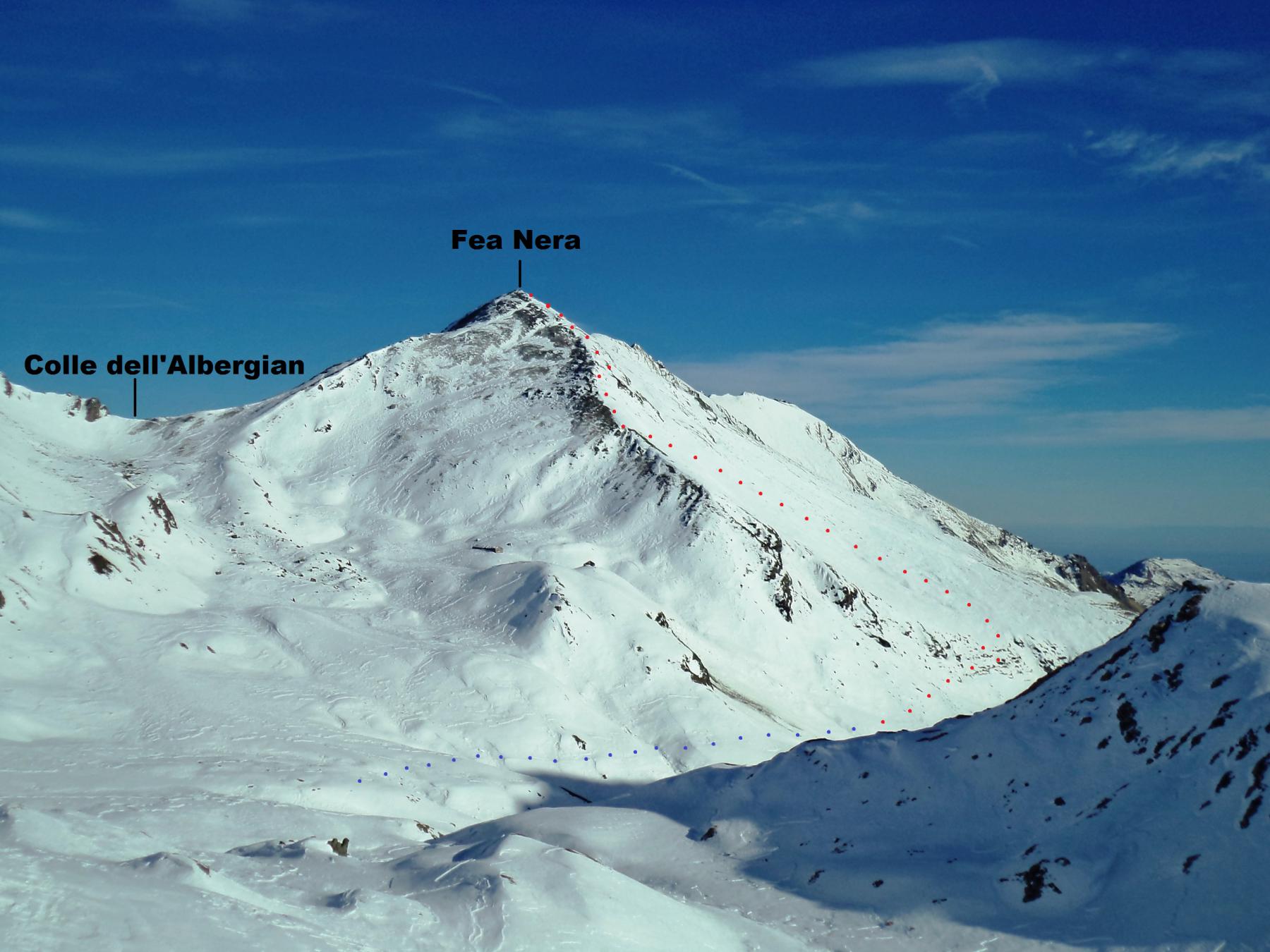
Fea Nera da Pattemouche, traversata a Fenestrelle per il Colle dell’Albergian
 50m
50m
28/03/2026 TO, Pragelato D+ 1164 m MS Ovest
Morefreddo (Monte) da Pattemouche
 50m
50m
18/02/2023 TO, Pragelato D+ 1396 m BS Sud-Ovest
Beth (Punta del) o Bric di Mezzogiorno da Pattemouche
 50m
50m
07/01/2026 TO, Pragelato D+ 1400 m BS Nord-Est
Fauri Sud (Punta) da Pattemouche per la Val Troncea
 50m
50m
03/04/2026 TO, Pragelato D+ 900 m MS Nord
Soma (Clot della) da Pragelato
 50m
50m
Servizi
800m
1.3Km
La capanna del sole Ristorante
Pragelato
1.3Km
Al Mulino Ristorante
Pragelato
3Km
Refugium – ex. Rif. Belotte Rifugio
Pragelato
4.2Km
Casa degli Escartons Alex Berton B&B
Pragelato
4.3Km
Casa Alpina Rifugio
Pragelato
4.3Km
Passet Ristorante
Pragelato
4.6Km
Troncea Rifugio
Pragelato
5.8Km
L’itialette Ristorante
Pragelato
7.1Km