3.5Km
3.5Km
Note
 100m
500m
650m
700m
700m
700m
700m
700m
100m
500m
650m
700m
700m
700m
700m
700m
Simpatica alternativa in caso di tempo instabile, corsi di avvicinamento alla montagna o poco tempo a disposizione.
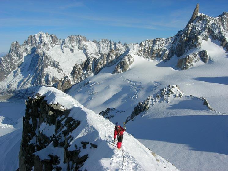
In loco non c'è nulla, occorre qualche vite e qualche cordino per le soste.Dalla cima il panorama è superlativo e di poco inferiore a quanto riserva l'impareggiabile vista che si gode dalla Tour Ronde.
Descrizione
In loco non c'è nulla, occorre qualche vite e qualche cordino per le soste.Dalla cima il panorama è superlativo e di poco inferiore a quanto riserva l'impareggiabile vista che si gode dalla Tour Ronde.
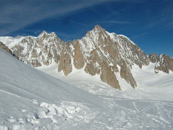
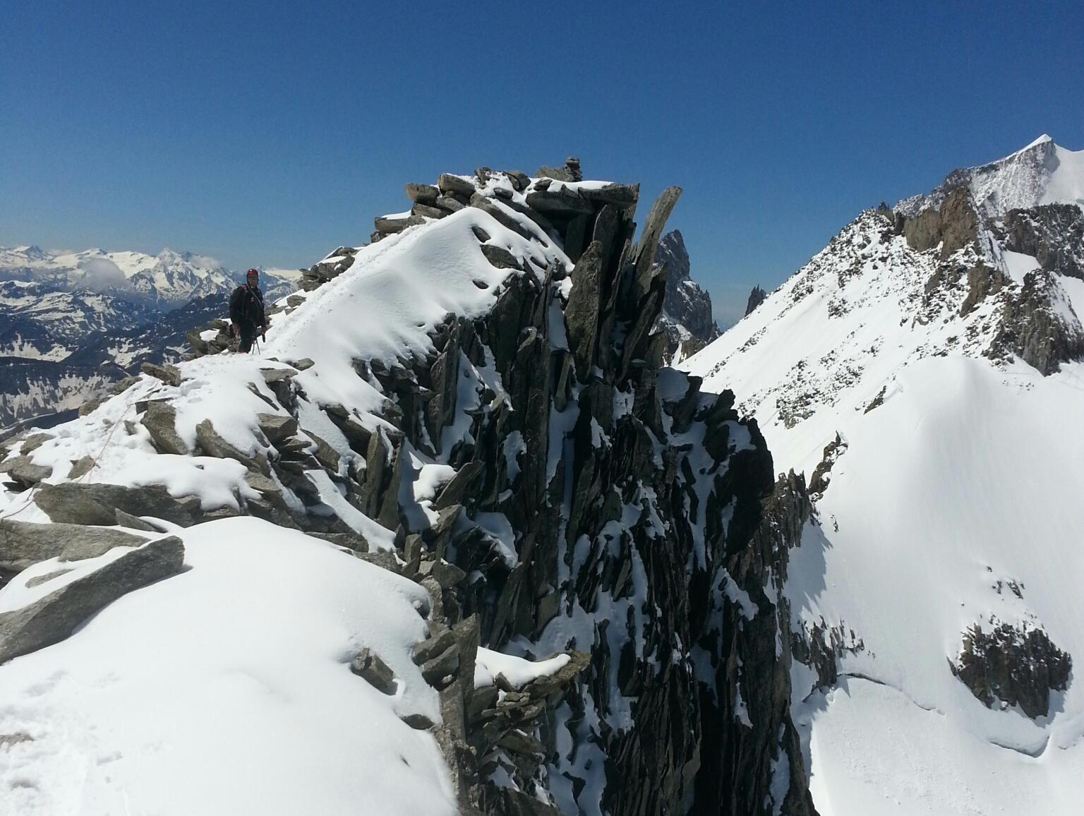
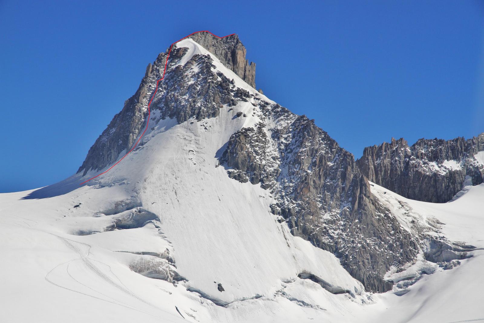
Da punta Helbronner, ci si dirige verso il Col Flambeau; si passa sotto i cavi del Gran Flambeau e si piega a sinistra scendendo le tracce che conducono al Col oriental de Toule, abbassandosi per una ventina di metri.
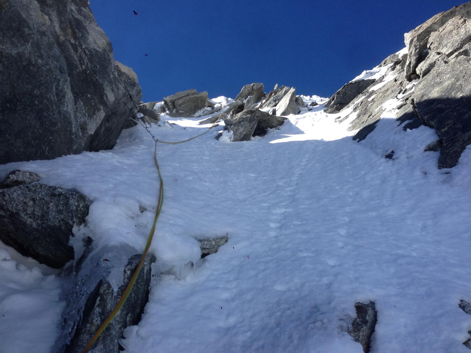
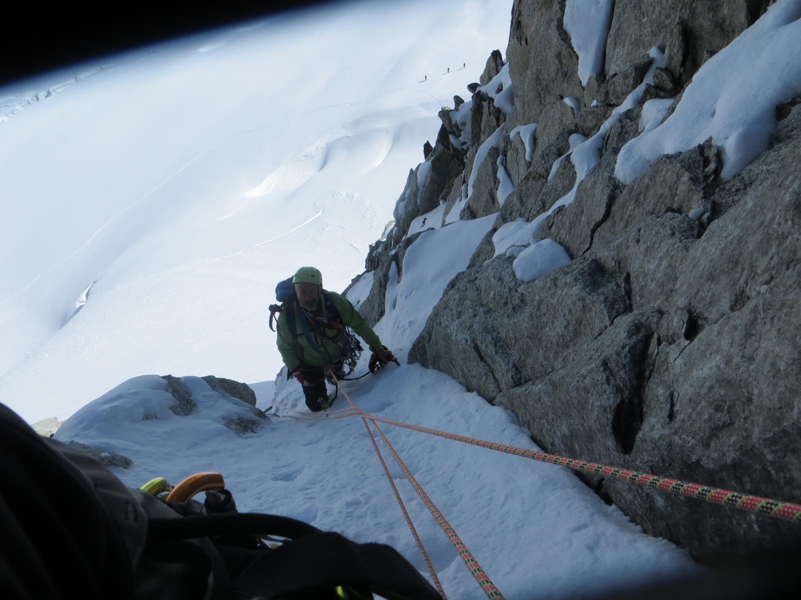
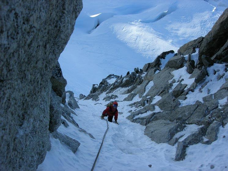
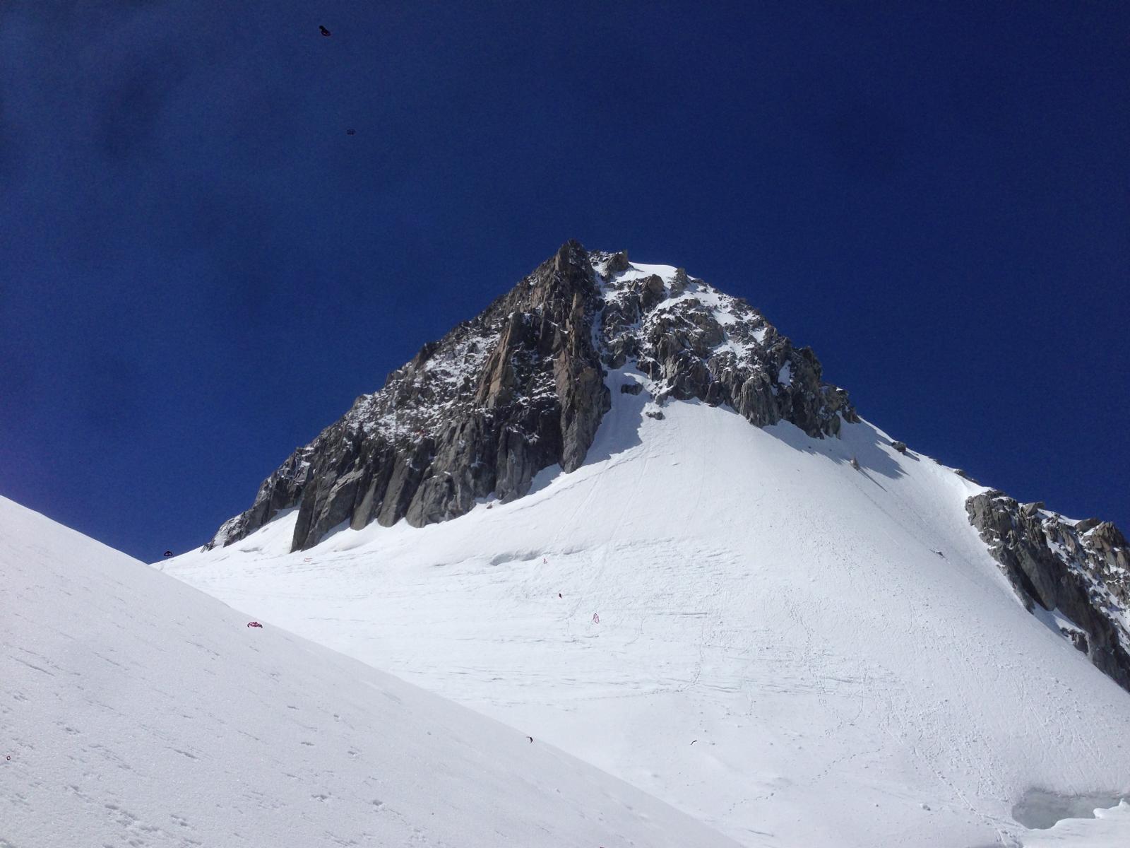
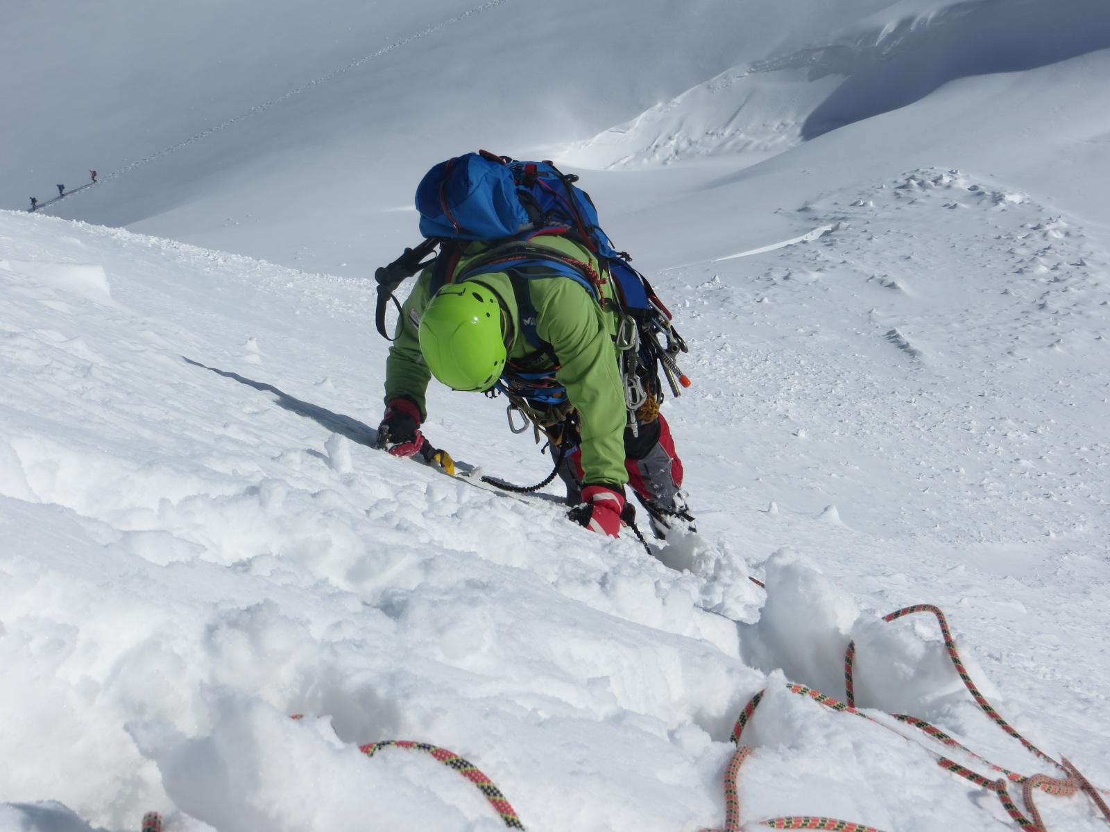
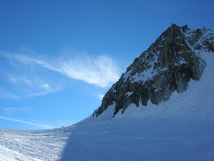
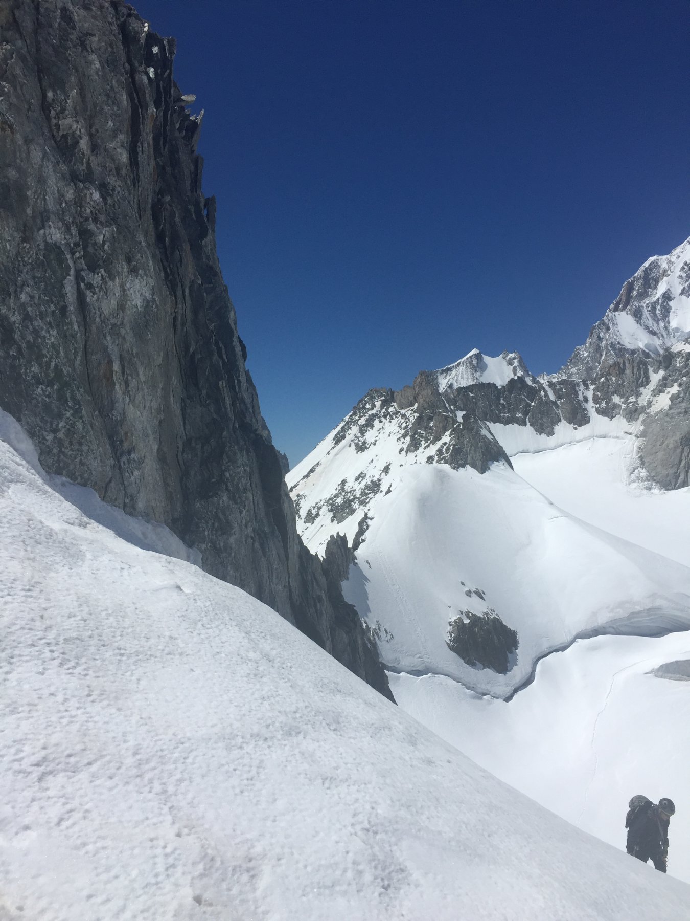
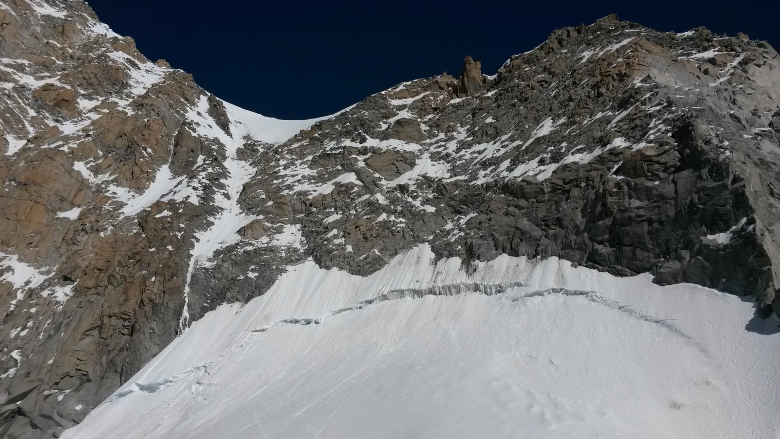
L’attacco è costituito da un ripido pendio appena a ds. di una prominenza rocciosa e all’estrema sinistra della parete Nord, 2 lunghezze (sovente in ghiaccio nero) ed una di misto conducono in vetta.
Discesa: rapida sul versante est raggiungendo il Col oriental de Toule
- Cartografia:
- IGN
- Bibliografia:
- neige, glace et mixte Tome 2 - F.Damilano
Ultima revisione 15/07/2014
Nelle vicinanze Mappa
Itinerari
22/04/2026 AO, Courmayeur D+ 200 m TD Nord-Est
Toula (Aiguille de) – Goulotte 344
50m
18/04/2026 AO, Courmayeur D+ 350 m D+ Nord-Est
Toule (Aiguille du) – Tour de garde
 100m
100m
18/03/2025 AO, Courmayeur D+ 150 m TD- Nord-Est
Toula (Aiguille du) – Cadeau de Noel
 500m
500m
17/02/2024 Haute-Savoie, Chamonix-Mont-Blanc D+ 300 m AD Nord
Toules (Aiguille des) Parete Nord
 650m
650m
07/03/2025 AO, Courmayeur D+ 150 m D+ Est
Tacul (Mont Blanc du) Goulotte Silvia
650m
25/06/2018 AO, Courmayeur D+ 1200 m D+ Sud-Est
Bianco (Monte) Sperone della Brenva – itinerario classico
 700m
700m
03/03/2026 AO, Courmayeur D+ 140 m D Sud-Ovest
Rognon Vaudano – Veloce Veloce 2.0
 700m
700m
05/12/2016 AO, Courmayeur D+ 244 m PD+ Nord-Ovest
Grand Flambeau cresta nord e versante ovest
 700m
700m
13/09/2014 AO, Courmayeur D+ 1600 m D Varie
Bianco (Monte) Parete Nord dell’Aiguille Blanche e Cresta di Peuterey
 700m
700m
27/12/2015 AO, Courmayeur D+ 251 m AD Nord
Fourche (Col de la) da Punta Helbronner
 700m
700m