3.1Km
3.1Km


Note
 50m
50m
50m
50m
50m
50m
50m
50m
50m
50m
50m
50m
50m
50m
50m
50m
50m
50m
50m
50m
3.1Km
3.3Km
4.4Km
4.4Km
4.6Km
5.6Km
6.2Km
7.2Km
7.2Km
7.6Km
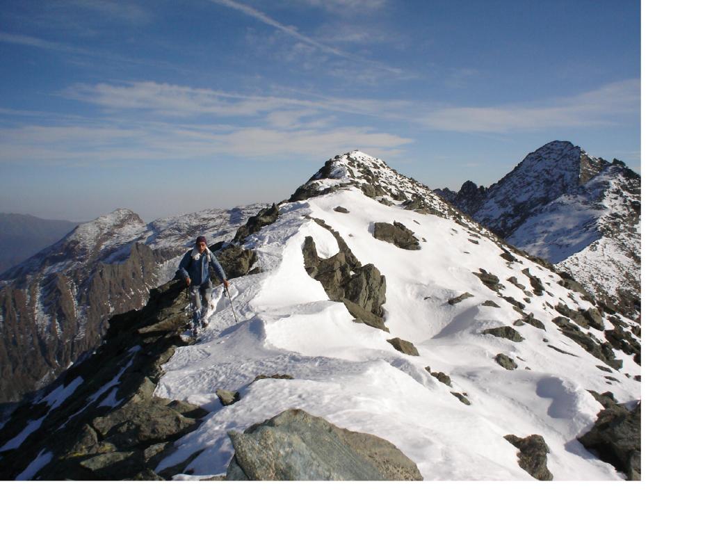
Itinerario pressochè tutto privo di sentiero da 2100 m in poi. Il periodo migliore è sicuramente l'autunno in modo tale da evitare le classiche nebbie estive di queste zone, (essendo itinerario non segnalato è bene avere ottima visibilità).
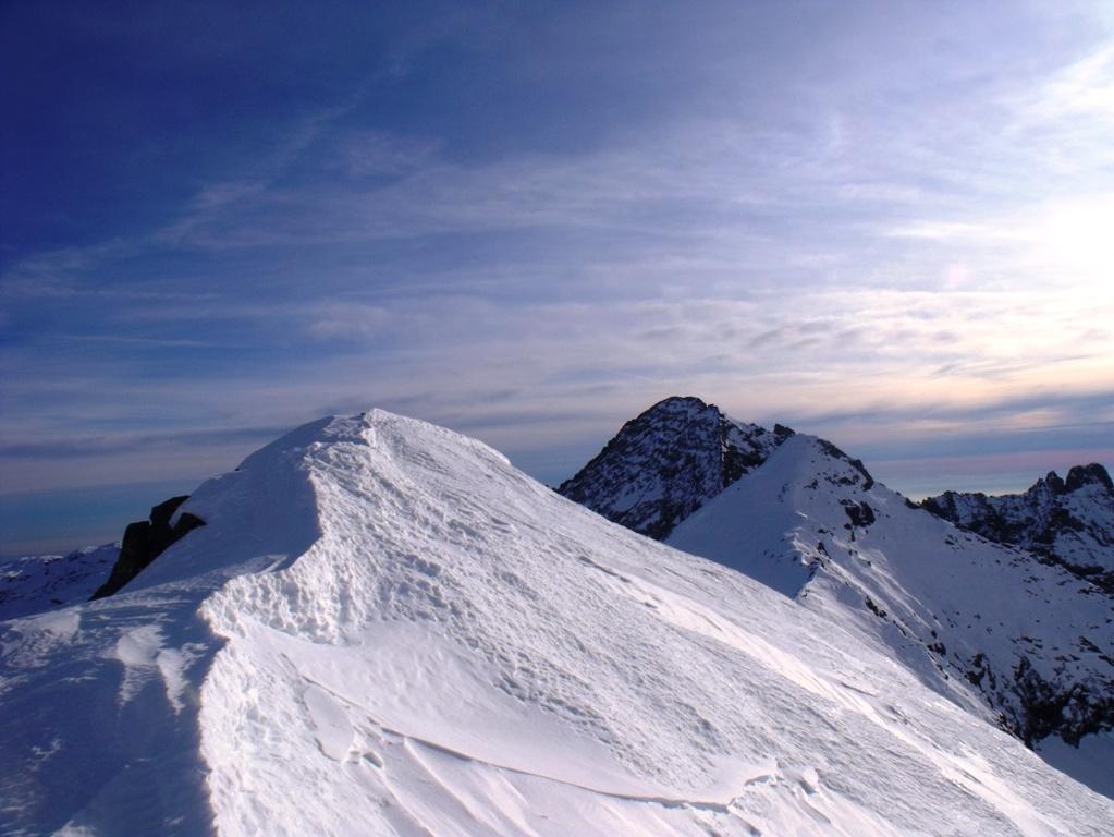
La salita può essere interessante se effettuata in presenza di neve con piccozza e ramponi (inizio inverno o fine primavera).
Avvicinamento
La salita può essere interessante se effettuata in presenza di neve con piccozza e ramponi (inizio inverno o fine primavera).
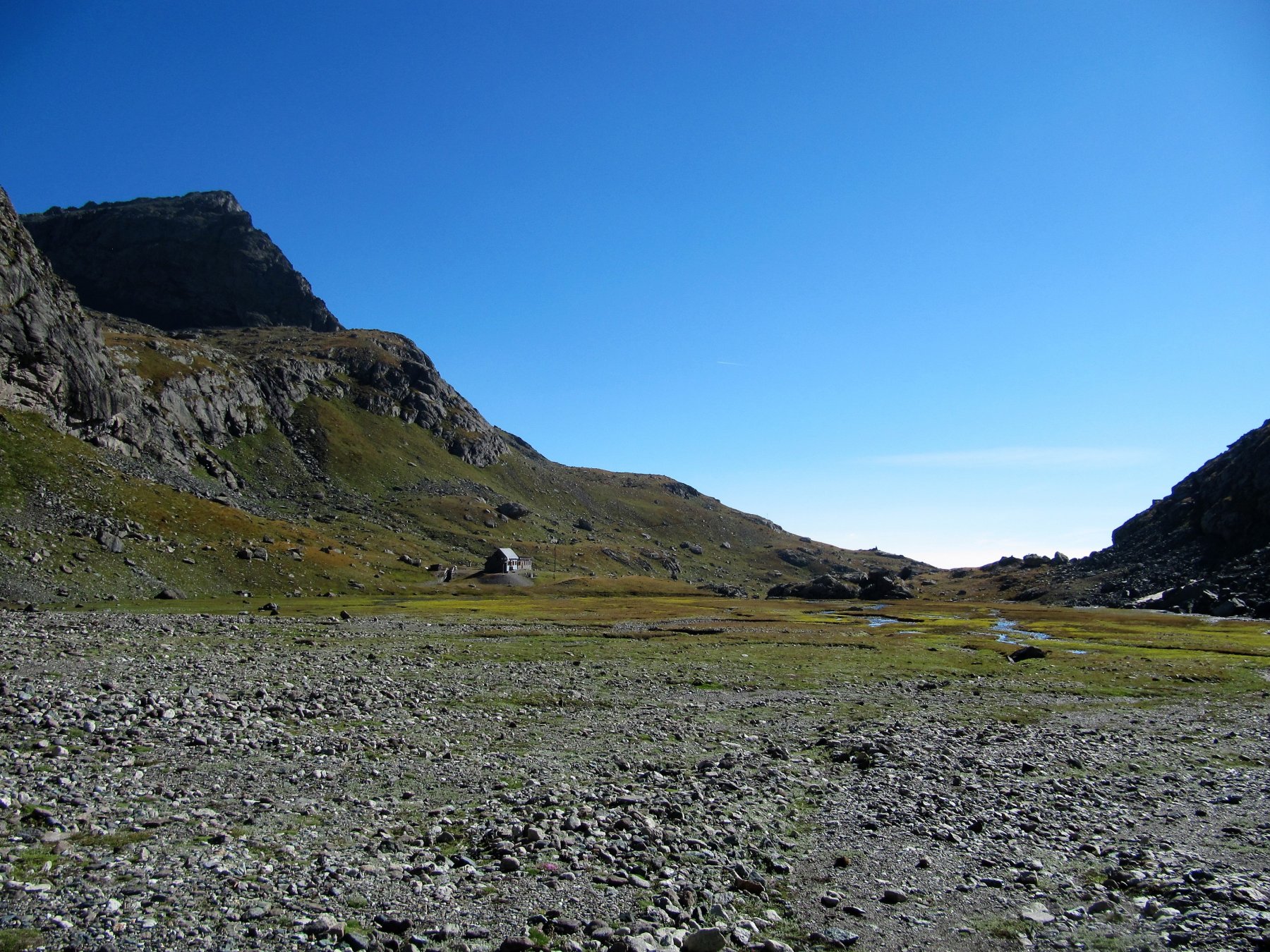
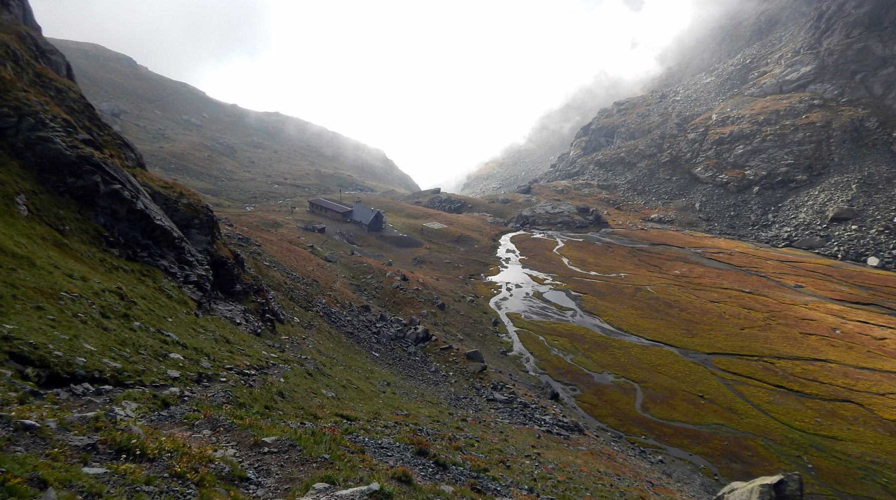
Da Lanzo si prosegue per la Valle di Viù sino ad Usseglio, dove al termine della piana, poco prima della centrale idroelettrica di Crot, si stacca a destra una strada asfaltata con indicazioni per Rifugio Cibrario. Si risale quindi il Vallone d'Arnas fino a 1700 m circa dove si trova una sbarra. Da qui in avanti la strada seppur in ottime condizioni è vietata essendo privata Enel per l'accesso alla centrale del Lago Dietro la Torre.
Descrizione
Dalla sbarra si prosegue seguendo la strada senza grosse possibilità di scorciatoia, salvo nella zona dei ruderi dell’Alpe Bessanetto 2057 m dove si incontra un vecchio sentiero che consente di ritrovare la strada più a monte.
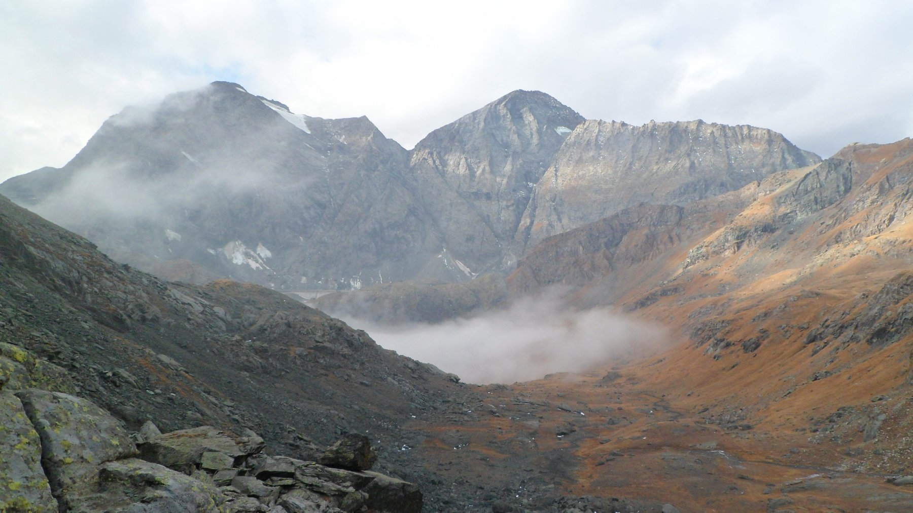
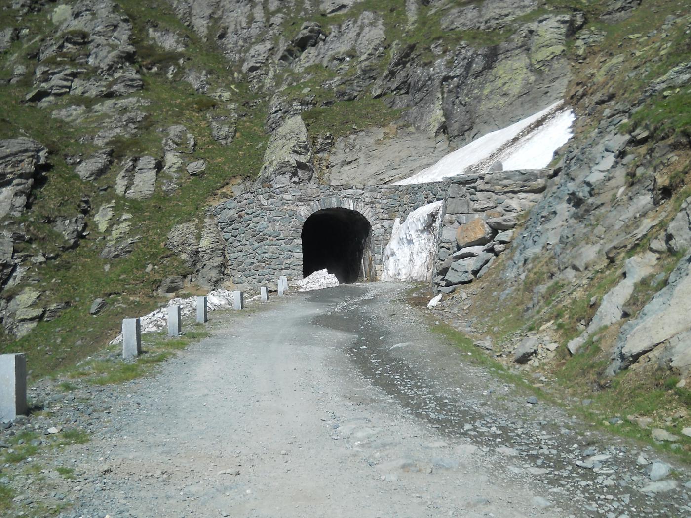
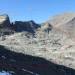
Si continua poi lungo la strada fino al rettilineo che precede una galleria scavata nella roccia (seguendo la strada si raggiunge il Lago Dietro la Torre). All’inizio di questo rettilineo, sul versante destro del vallone, si incontra una vaga traccia di sentiero che sale i magri pascoli del versante sud della Punta Lucellina.
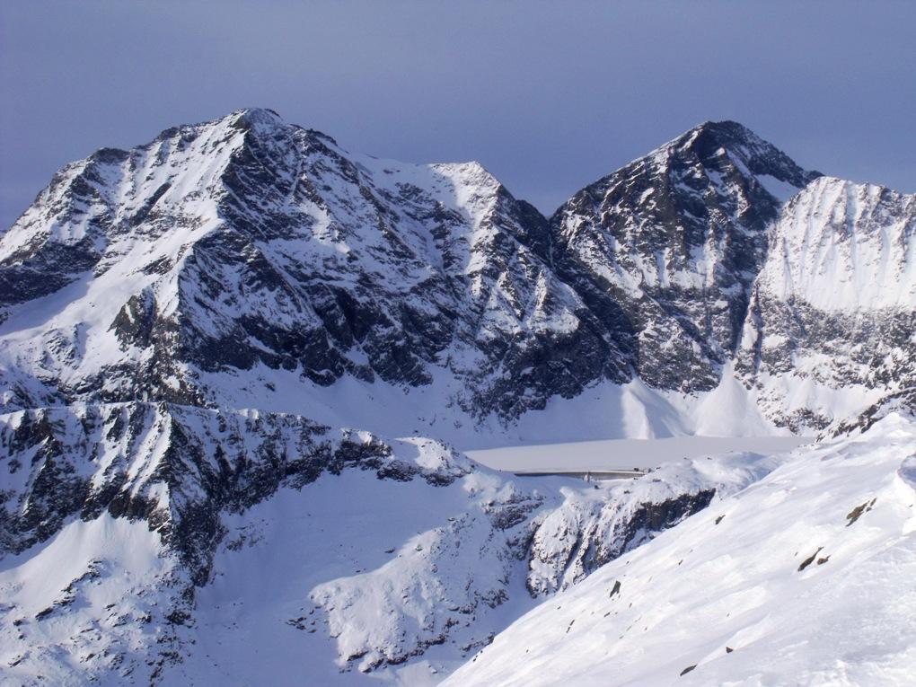
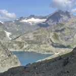
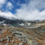
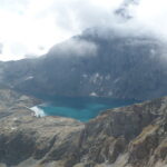
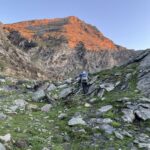
Si sale quindi sulla traccia finchè visibile in direzione Nord-Ovest raggiungendo un dosso roccioso-erboso a monte del Lago Dietro la Torre, a circa 2400 m. Qui ora si attraversa una breve pietraia e si prosegue verso destra, tagliando in diagonale il pendio puntando alla spalla (panettone) di quota 2775 m. La si aggira sul pendio di destra (evitare quindi la salita nella valletta di sinistra invasa da una caotica pietraia), dopodichè si guadagna la dorsale sovrastante, inizialmente erbosa e poi anche qui ricoperta da una pietraia di blocchi medio-grandi.
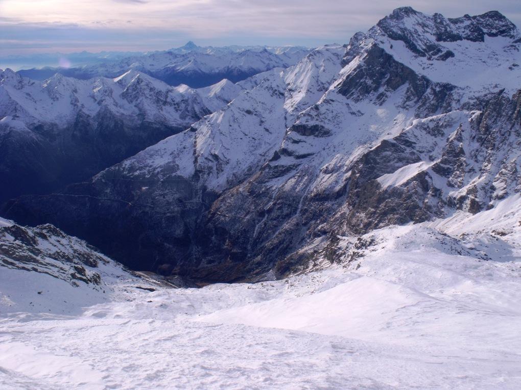
Si punta ad una lieve depressione sulla cresta sovrastante, dopodichè in pochi metri proseguendo a destra si raggiunge il grosso ometto della cima.
Discesa dallo stesso percorso di salita, eventualmente passando per il Lago Dietro la Torre.
- Cartografia:
- Fraternali 1:25000 n.8 Valli di Lanzo
- Bibliografia:
- G. Berutto L. Fornelli Alpi Graie Mer. Cai-TCI 1980
Nelle vicinanze Mappa
Itinerari
04/09/2022 TO, Usseglio D+ 1070 m E Est
Cibrario Luigi (Rifugio) al Peraciaval dall’Alpe Barnas
 50m
50m
04/11/2017 TO, Usseglio D+ 1250 m E Varie
Mangioire (Passo delle) dall’Alpe Barnas
 50m
50m
07/10/2020 TO, Usseglio D+ 1257 m EE/F Sud
Bessanetto (Monte di) dal Vallone d’Arnas per il Lago Dietro la Torre
 50m
50m
16/08/2025 TO, Usseglio D+ 1360 m EE Varie
Altare (Colle) dall’Alpe Barnas, anello per Rifugio Cibrario e Lago della Rossa
 50m
50m
16/08/2025 TO, Usseglio D+ 1059 m E Varie
San Camillo (Bivacco) al Lago della Rossa dal Vallone d’Arnas
 50m
50m
11/09/2025 TO, Usseglio D+ 1360 m E Varie
Fortino (Punta), Cresta del Fort dall’Alpe Barnas per il Lago della Rossa
 50m
50m
20/08/2023 TO, Usseglio D+ 1516 m E Nord-Ovest
Sulè (Colle) dall’Alpe Barnas
 50m
50m
24/08/2025 TO, Usseglio D+ 1697 m E Varie
Peraciaval Nord (Punta di) dall’Alpe Barnas per il Rifugio Cibrario
 50m
50m
06/09/2025 TO, Usseglio D+ 2064 m EE/F Sud-Est
Croce Rossa (Punta) dal Vallone d’Arnas per il Rifugio Cibrario
 50m
50m
09/09/2023 TO, Usseglio D+ 2000 m EE/F Varie
Sulà (Testa) dall’Alpe Barnas, anello per i colli Sulè, Sulà e Lago di Peraciaval
 50m
50m
Servizi
3.1Km
3.3Km
Il Caminetto Ristorante
Usseglio
4.4Km
Grand’Usselio Albergo
Usseglio
4.4Km
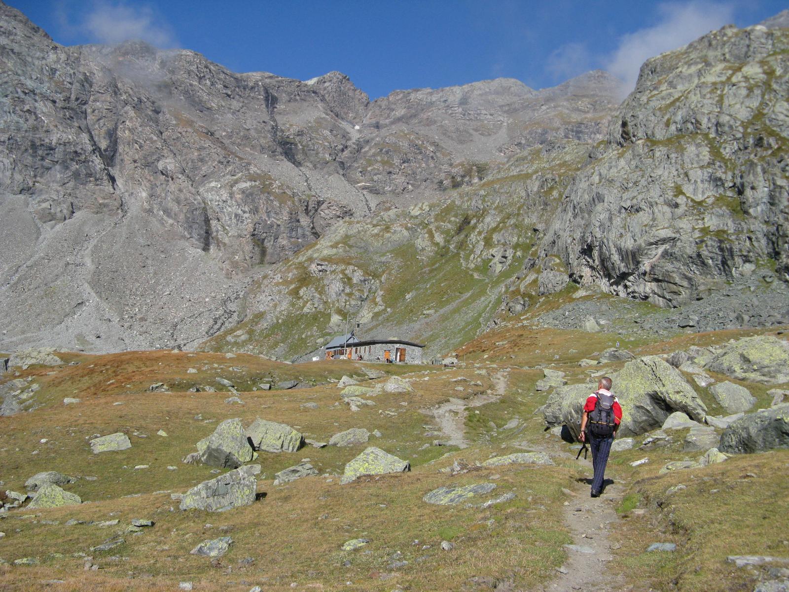
Luigi Cibrario Rifugio
Usseglio
4.6Km
Il bivacco Ristorante
Usseglio
5.6Km
Vulpot Rifugio
Usseglio
6.2Km
Nej e Solei Ristorante
Usseglio
7.2Km
Gastaldi Rifugio
Balme
7.2Km
Ciriè Rifugio
Balme
7.6Km