3.9Km
3.9Km
Avvicinamento
 2.7Km
3.5Km
3.5Km
3.5Km
3.5Km
3.8Km
3.9Km
3.9Km
3.9Km
2.7Km
3.5Km
3.5Km
3.5Km
3.5Km
3.8Km
3.9Km
3.9Km
3.9Km
3.9Km
4Km
4.1Km
5.7Km
5.8Km
5.8Km
5.8Km
5.8Km
5.9Km
6.2Km
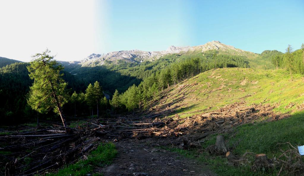
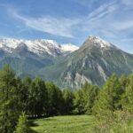
Da Susa si deve percorrere la strada che porta al Frais, poco prima, ad una curva su di un albero c’è l’indicazione per il Pian Gelassa, volgere a sinistra ed arrivare fino allo spiazzo sterrato della stazione di partenza della cabinovia.
Descrizione
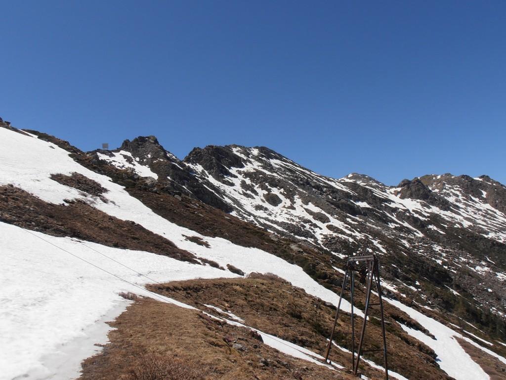
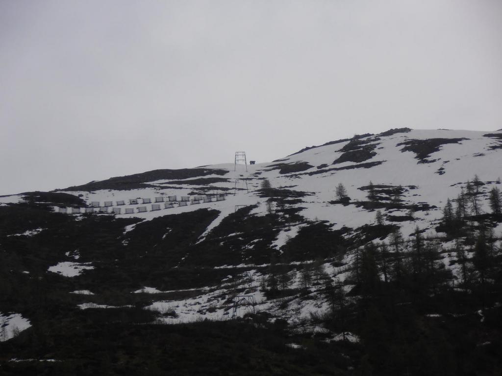
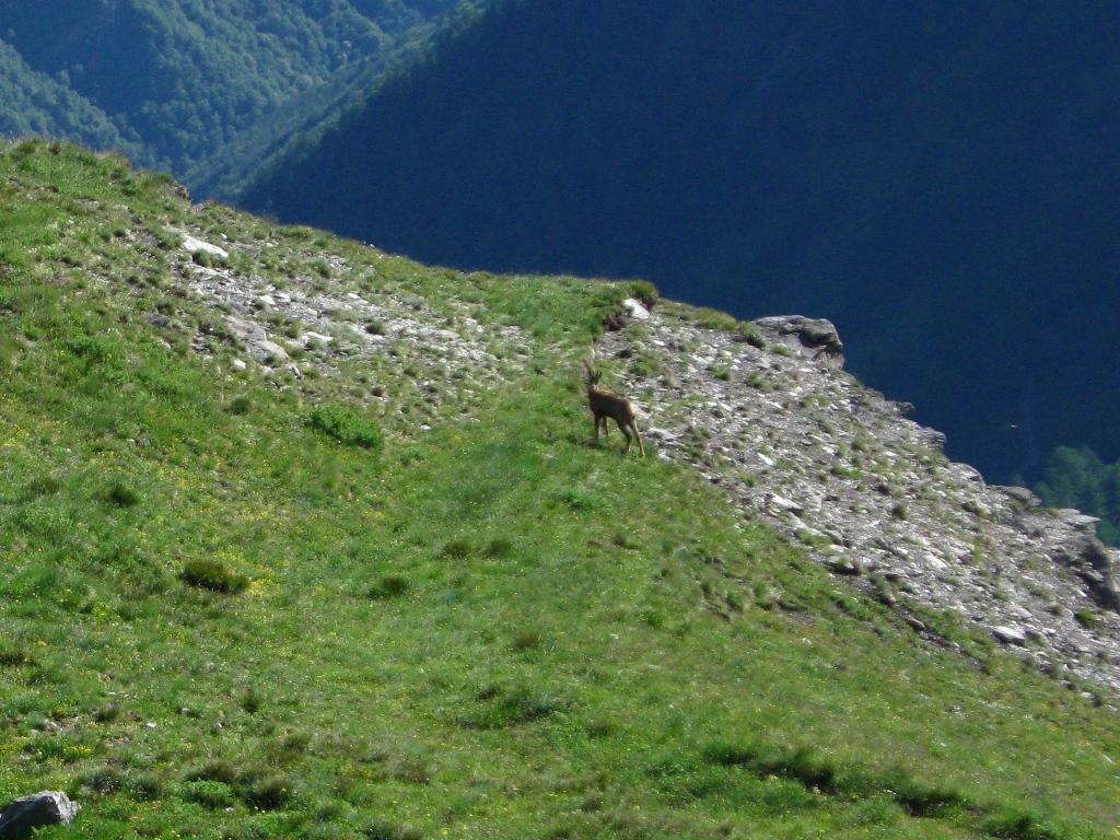
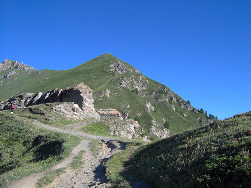
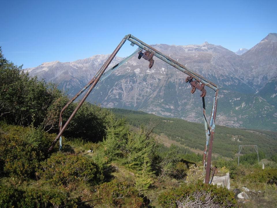
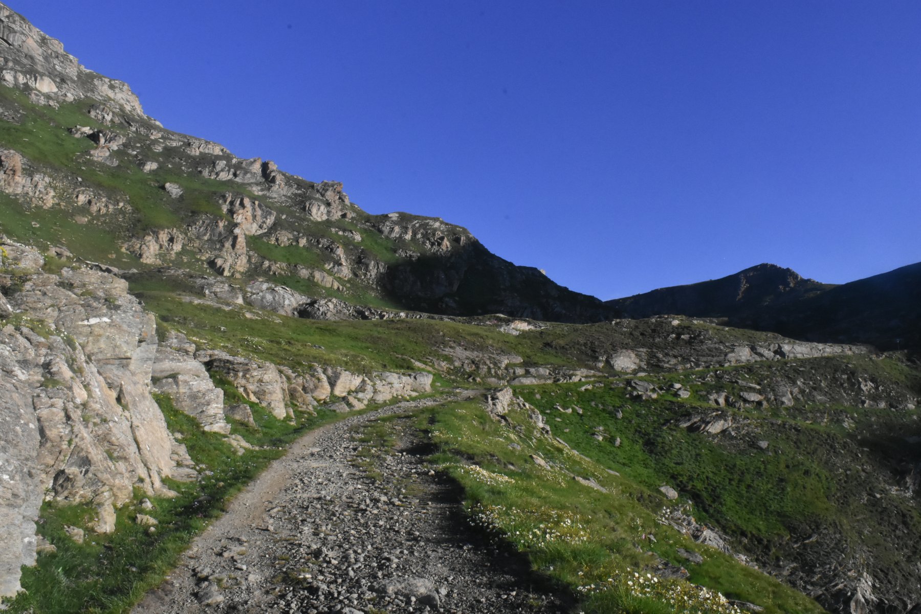
Passare dinanzi alla diroccata stazione della cabinovia e, per prati, salire seguendo la linea dei piloni dell’impianto fino ad incrociare la strada che arriva alla fine dello skilift (quota 1700).
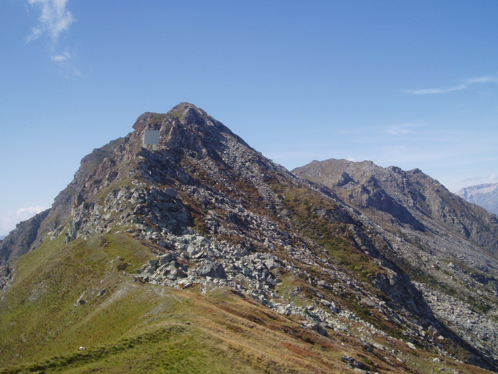
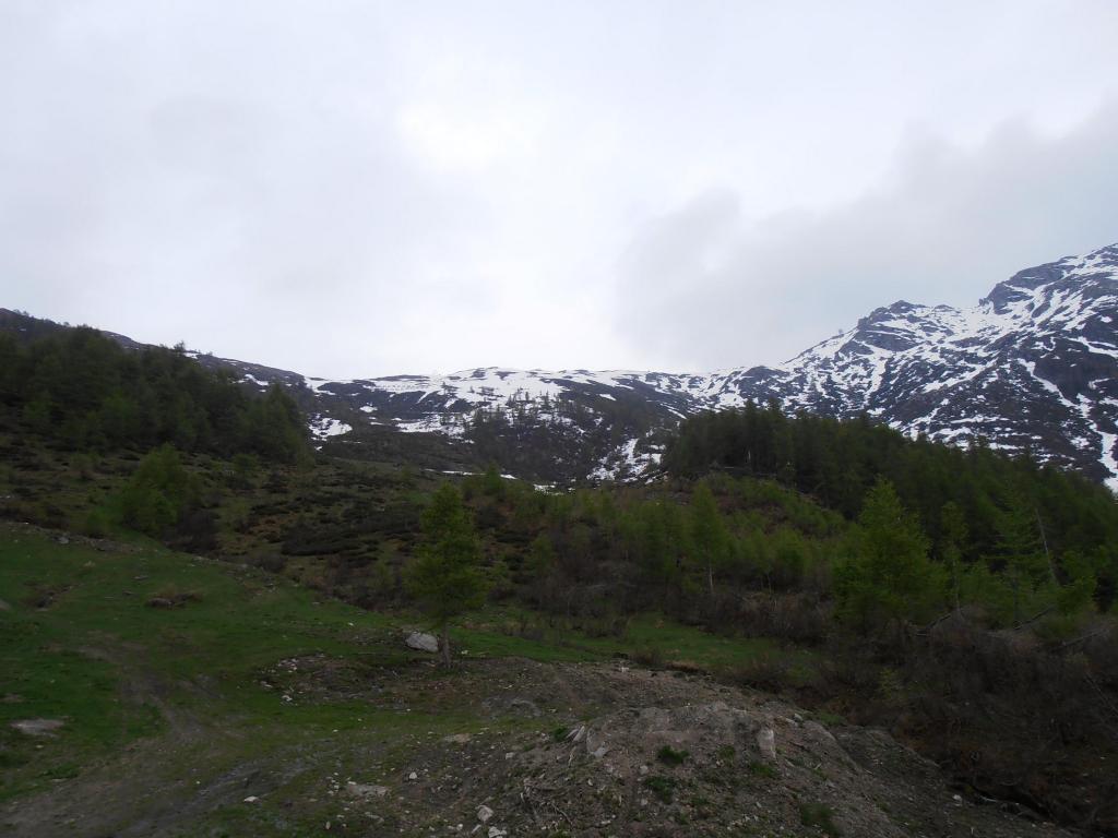
Si prosegue seguendo questa strada sterrata fino all’arrivo dei vecchi impianti da sci a quota 2390, si può tagliare per prati seguendo le tracce di passaggio delle mucche.
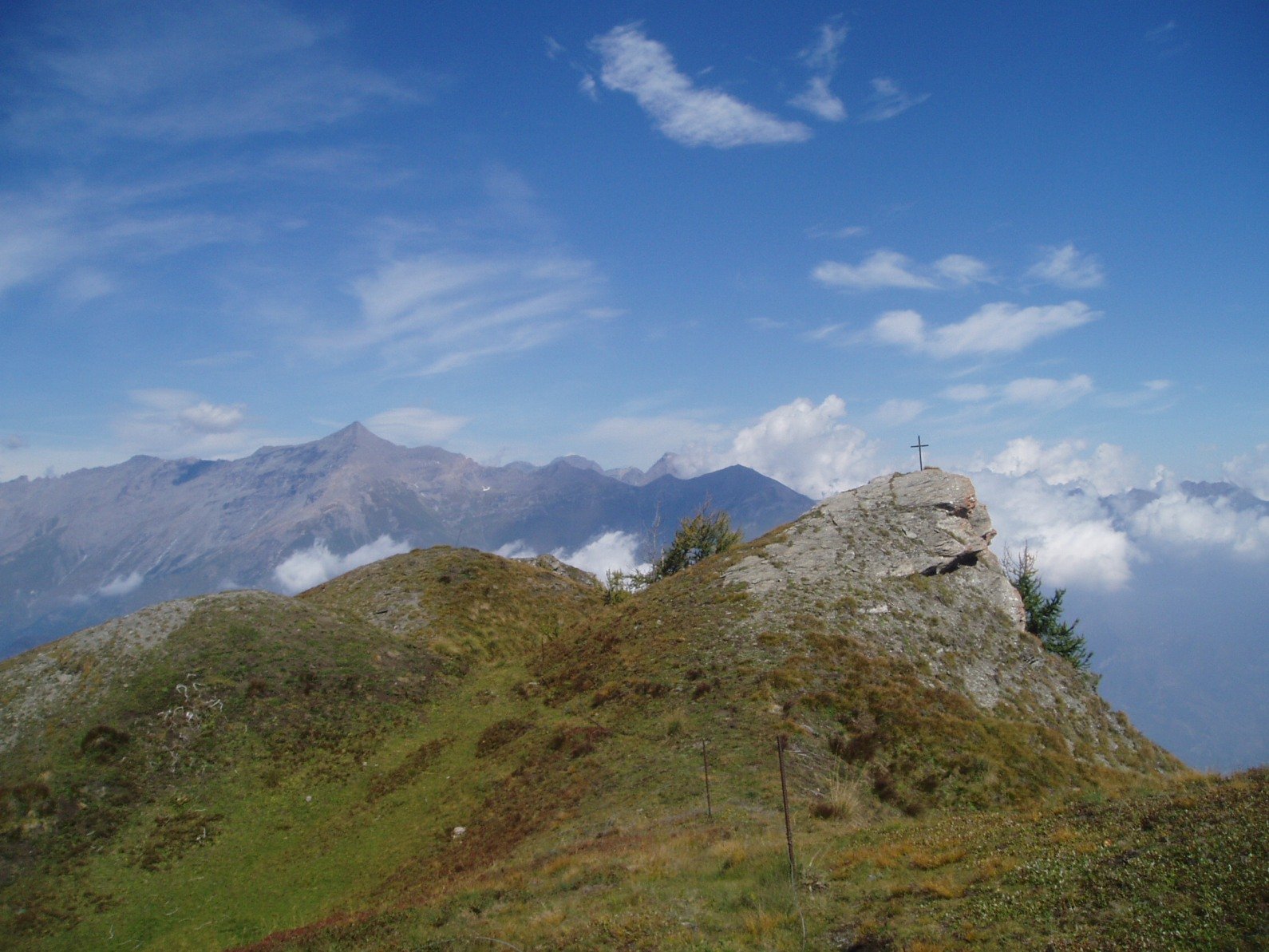
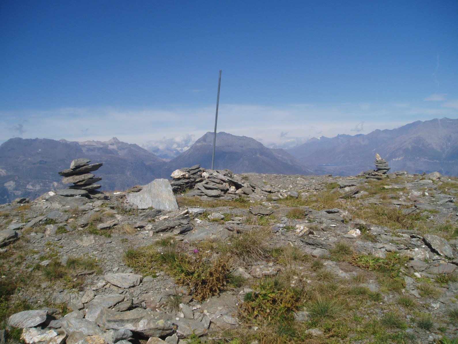
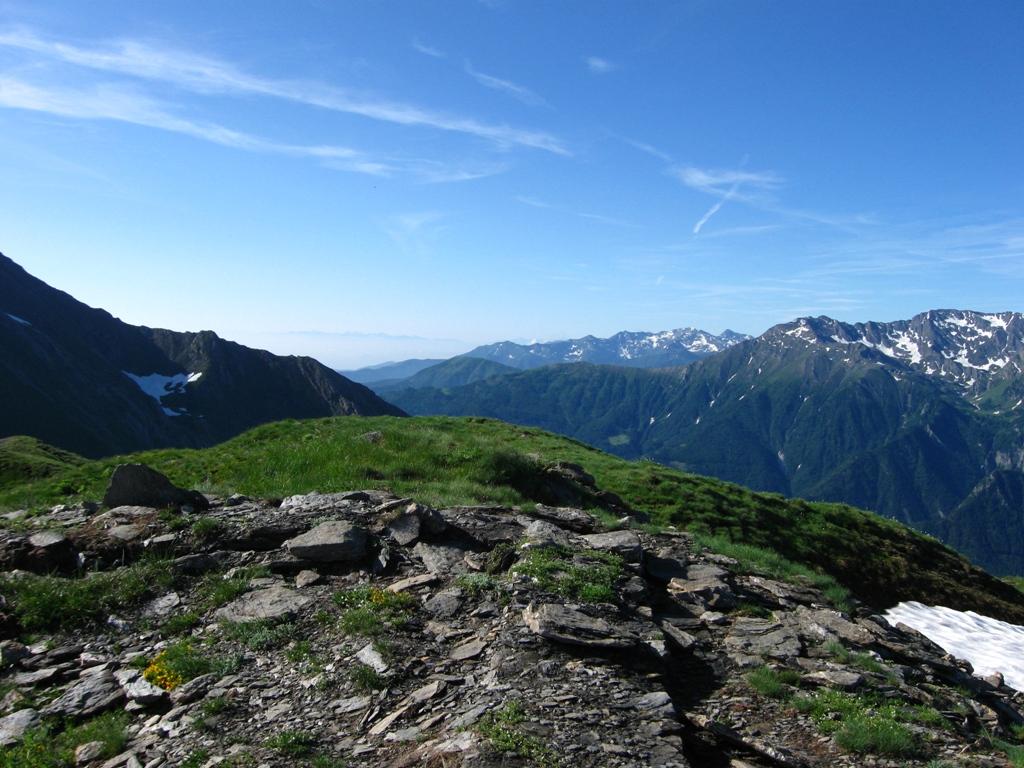
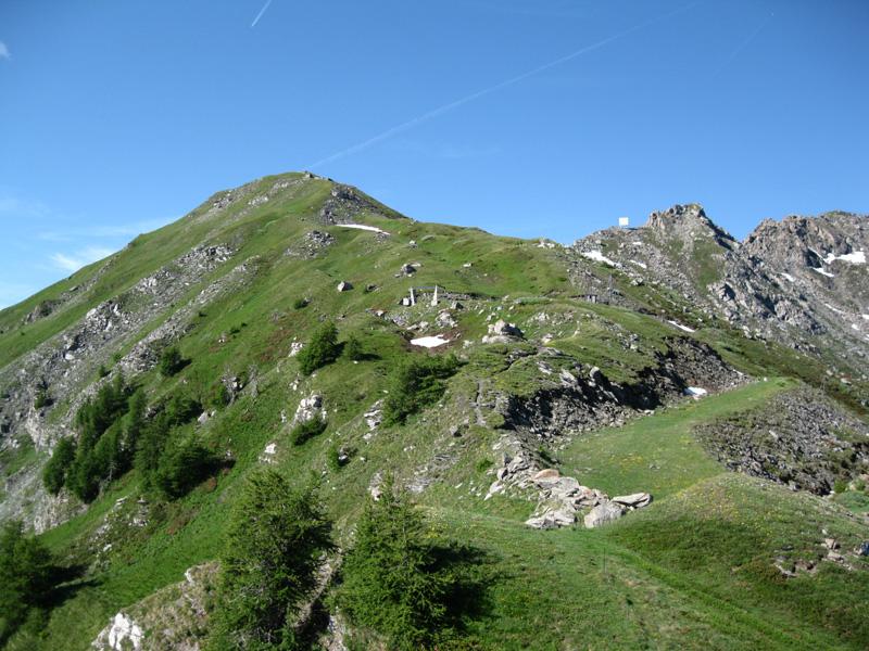
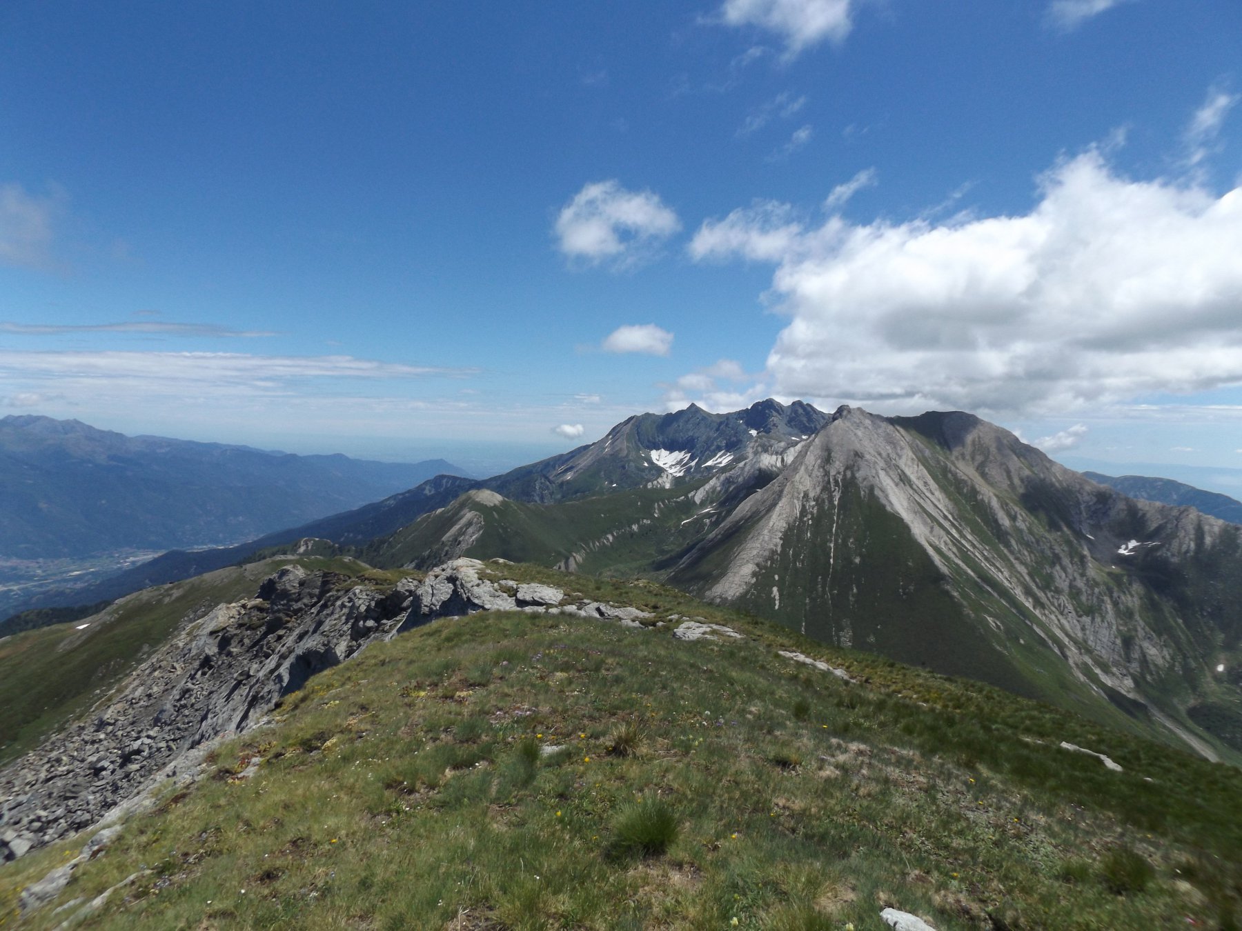
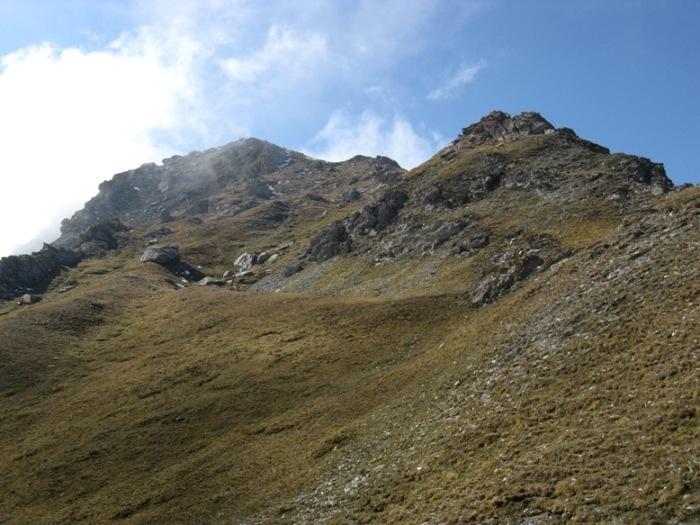
Da questo punto si segue la direzione SUD data da un palo e, sullo sfondo, da un rudere, in breve per cresta di prati si giunge in vetta.
- Cartografia:
- IGC Val di Susa Chisone e Germanasca n. 1
Nelle vicinanze Mappa
Itinerari
14/06/2026 TO, Gravere D+ 480 m E Nord
Madonna della Losa da Gravere, anello per le borgate Trucco, Carboneri, Deveys, Bernarda
 2.7Km
2.7Km
28/06/2025 TO, Meana di Susa D+ 500 m EE Nord-Ovest
Carlei (Monte) dalla strada del Colle delle Finestre
 3.5Km
3.5Km
01/06/2026 TO, Usseaux D+ 1340 m E Varie
Ciantiplagna (Cima) e Cima delle Vallette dal Colle delle Finestre per il Monte Pintas
 3.5Km
3.5Km
16/08/2021 TO, Usseaux D+ 520 m E Varie
Fattière (Punta) dal Colle delle Finestre
 3.5Km
3.5Km
22/08/2020 TO, Usseaux D+ 513 m E Sud
Mezzodì (Punta del) dal Colle delle Finestre
3.5Km
16/07/2026 TO, Usseaux D+ 673 m E Sud
Ciantiplagna (Cima) dal Colle delle Finestre
 3.5Km
3.5Km
29/07/2025 TO, Usseaux D+ 600 m EE Nord-Ovest
Français Pelouxe (Monte) dal Colle delle Finestre
 3.8Km
3.8Km
13/11/2021 TO, Usseaux D+ 894 m E Sud
Assietta (Testa dell’) da Pian dell’Alpe
 3.9Km
3.9Km
31/05/2025 TO, Usseaux D+ 650 m E Sud
Pintas (Monte) da Pian dell’Alpe
 3.9Km
3.9Km
06/10/2020 TO, Usseaux D+ 832 m E Sud
Vallette (Cima delle) da Pian dell’Alpe
 3.9Km
3.9Km
Servizi
3.9Km
4Km
Lago delle Rane Rifugio
Usseaux
4.1Km
Alpe Pintas Ristorante
Usseaux
5.7Km
Il Nido dell’Aquila Ristorante
Usseaux
5.8Km
Pian dell’alpe Rifugio
Usseaux
5.8Km
Cheese Bar Ristorante
Usseaux
5.8Km
La Placette Ristorante
Usseaux
5.8Km
Souvenir Rifugio
Usseaux
5.9Km
La Cantina delle Arti Ristorante
Chiomonte
6.2Km