2.9Km
2.9Km


Note
 0m
50m
50m
50m
50m
50m
50m
50m
50m
0m
50m
50m
50m
50m
50m
50m
50m
50m
2.9Km
3.9Km
8Km
8.4Km
8.6Km
8.6Km
8.8Km
8.8Km
8.8Km
8.8Km
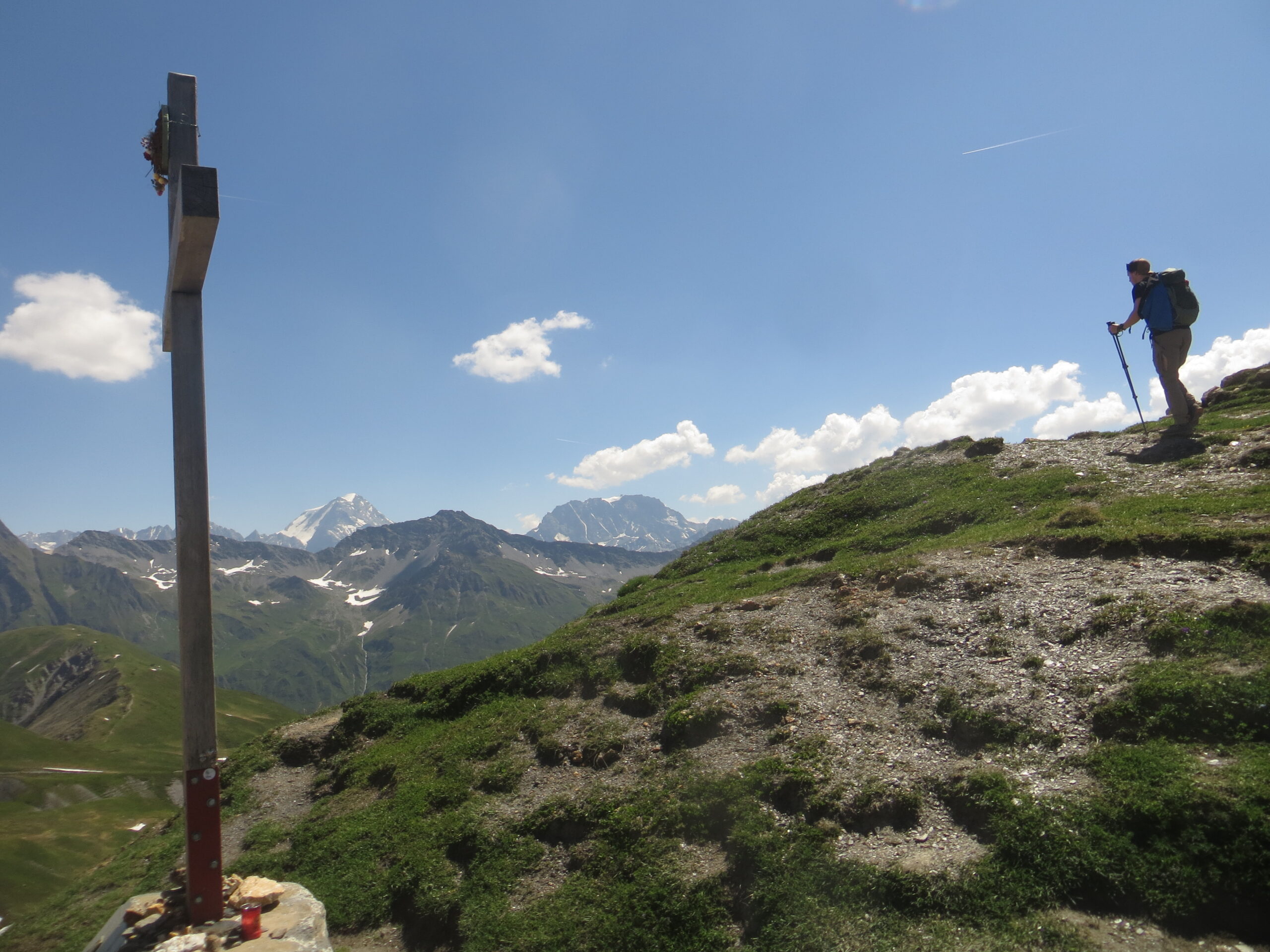
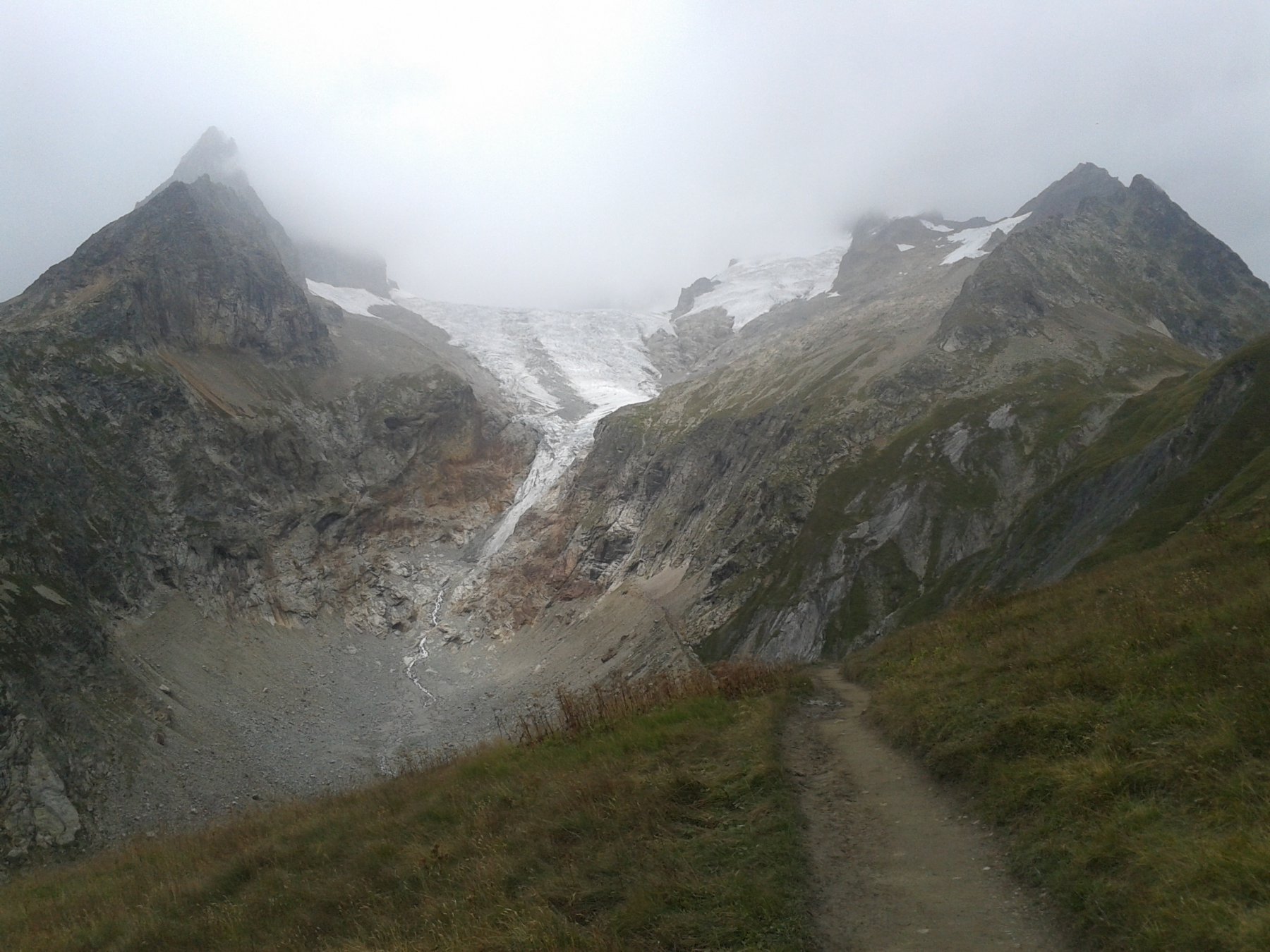
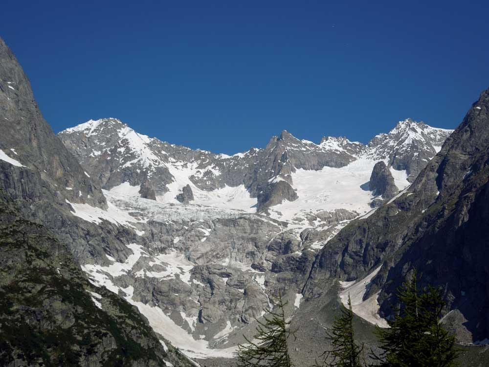
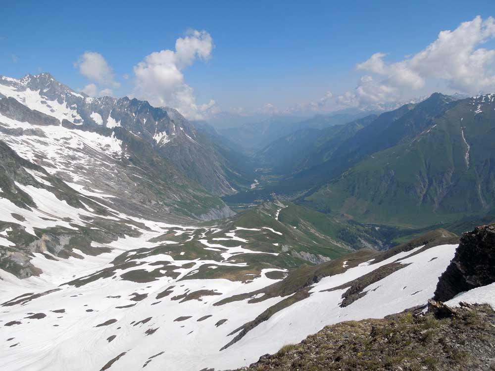
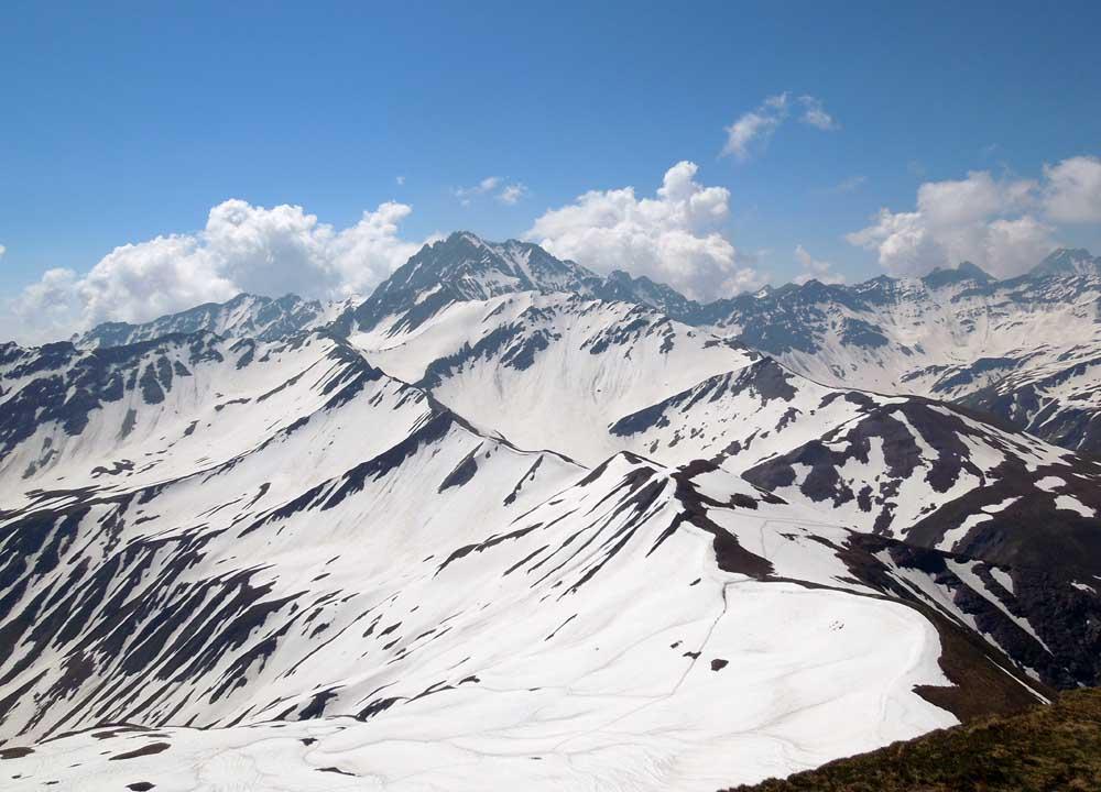
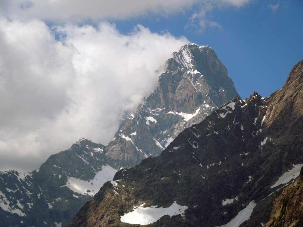
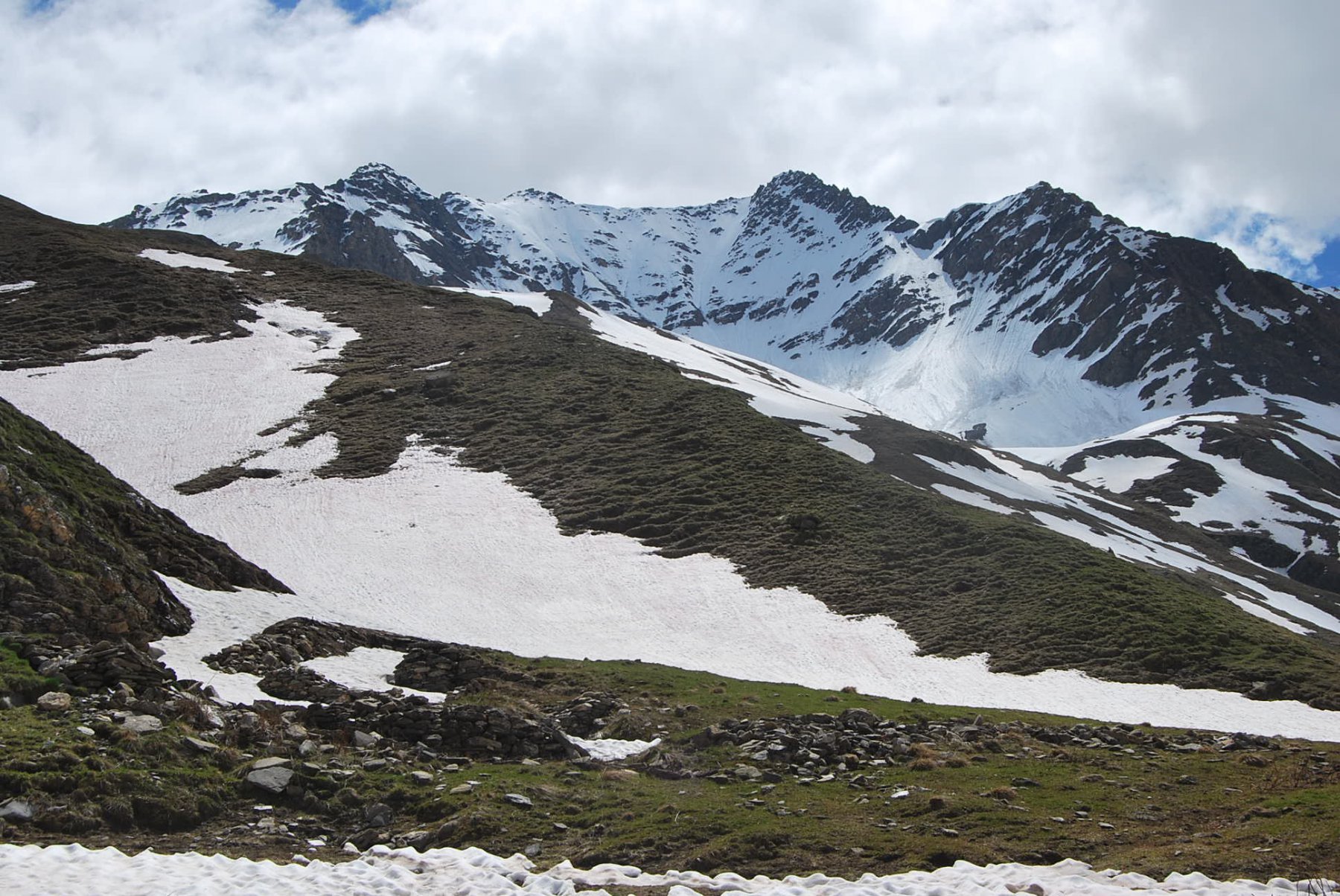
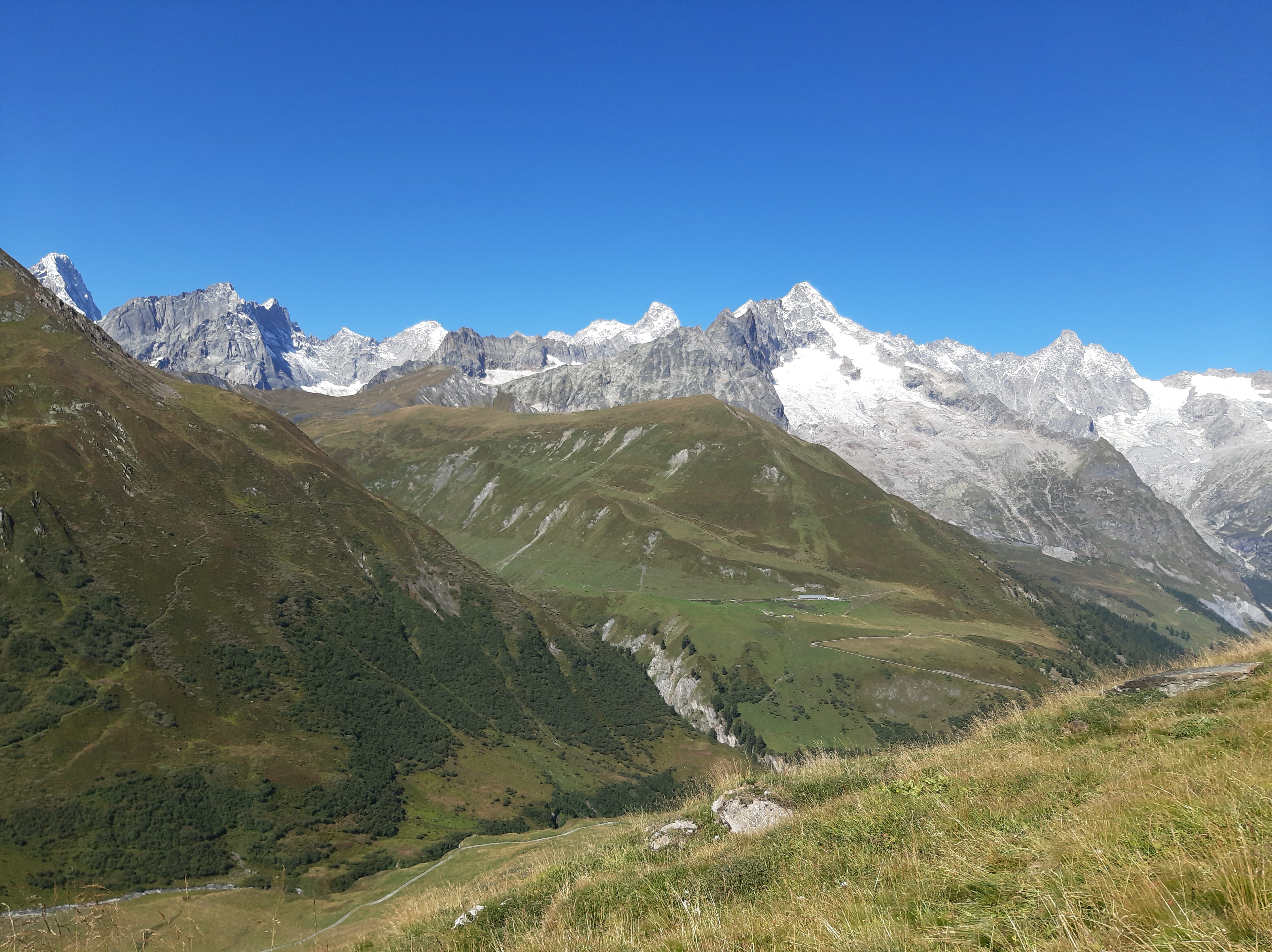
Lungo il percorso panorami su ghiacciaio del Triolet, Les Grandes Jorasses, ghiacciaio di Pré de Bar e Mont Dolent. Dalla cima inoltre, in assenza di nuvole, su Gran Combin e Gran Paradiso.
Avvicinamento
Raggiunta l'uscita dell'autostrada A5 di Courmayeur, si prosegue sino ad Entrèves e lo si supera imboccando la strada della Val Ferret da seguire sino ad Arpnouva, dove si lascia l'auto.
Descrizione
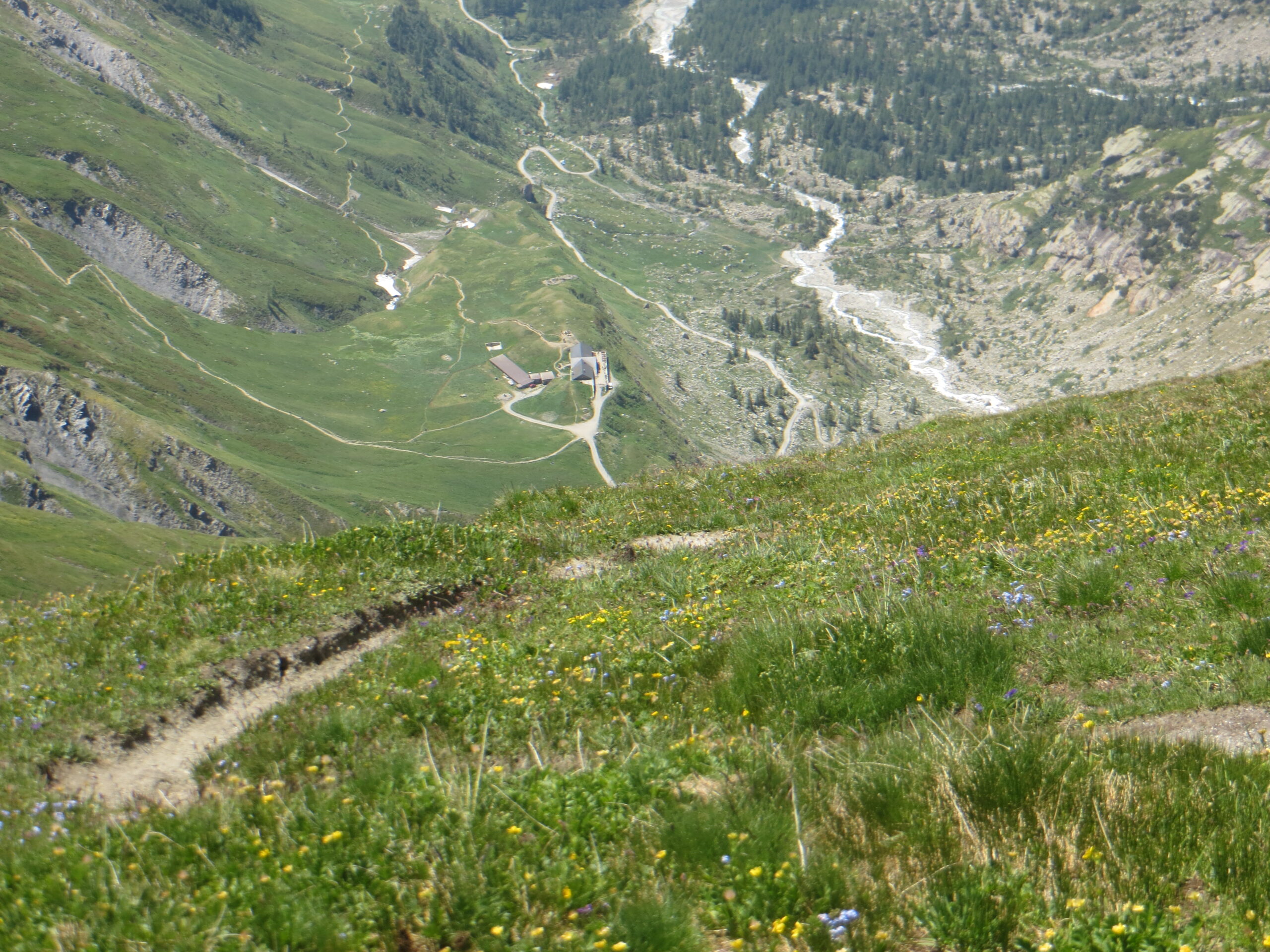
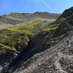
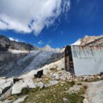
Si procede sulla sterrata di fondovalle, chiusa al traffico non autorizzato, seguendo le indicazioni TMB (Tour du Mont Blanc), fino al Rifugio Elena a Pré de Bar (2061 m).
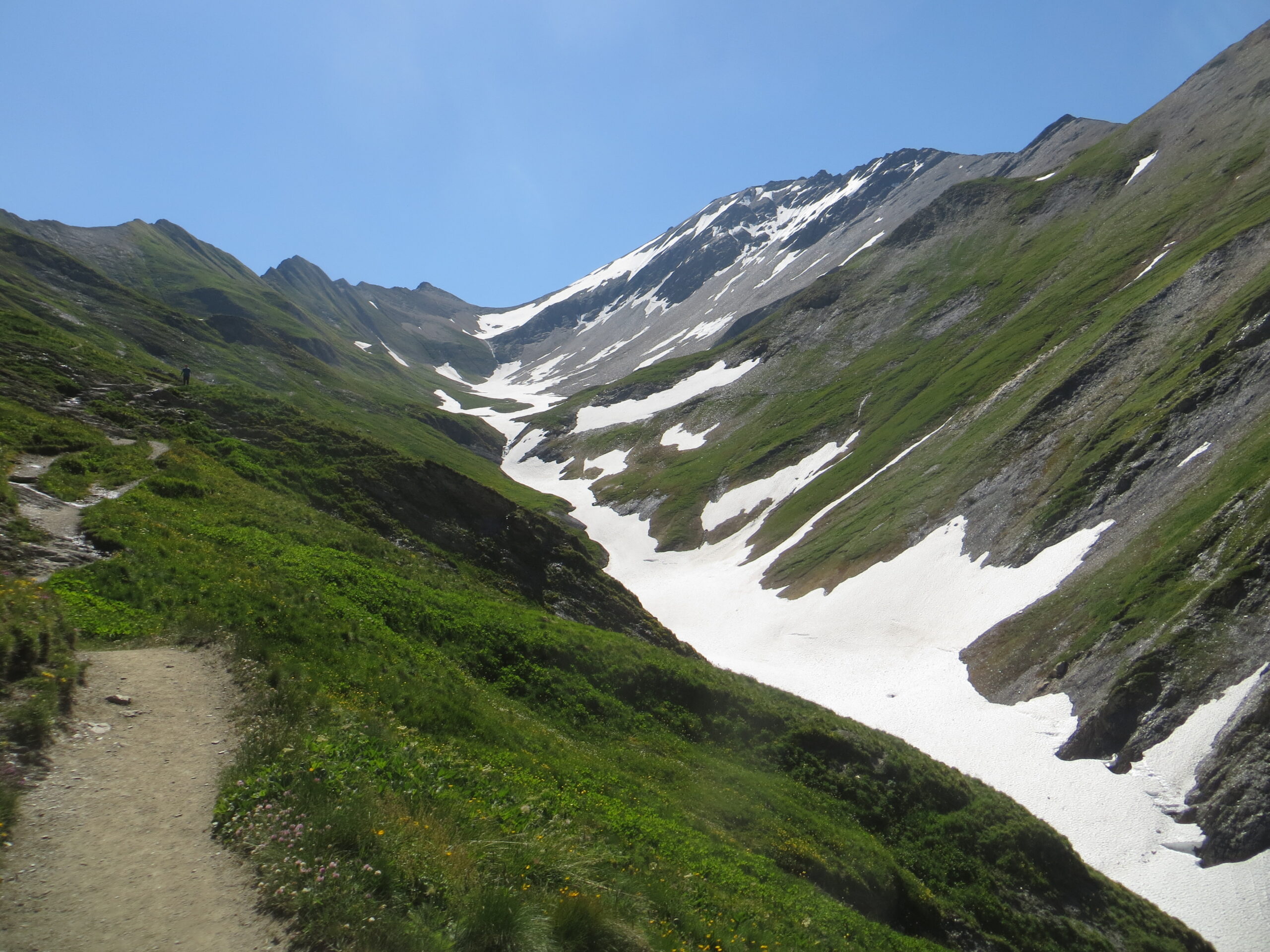
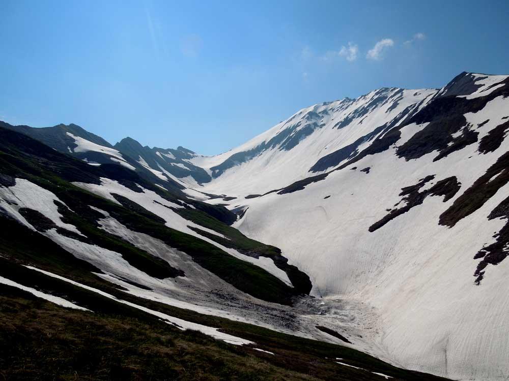
Il sentiero (sempre TMB) sale ora in direzione est all’Alpe Pré de Bar (2264 m, possibilità di rifornimento acqua), si spinge verso la valle di Combette e, successivamente, piega a sinistra fino ad un tratto a mezzacosta che porta fino al Col du Grand Ferret (2537 m).
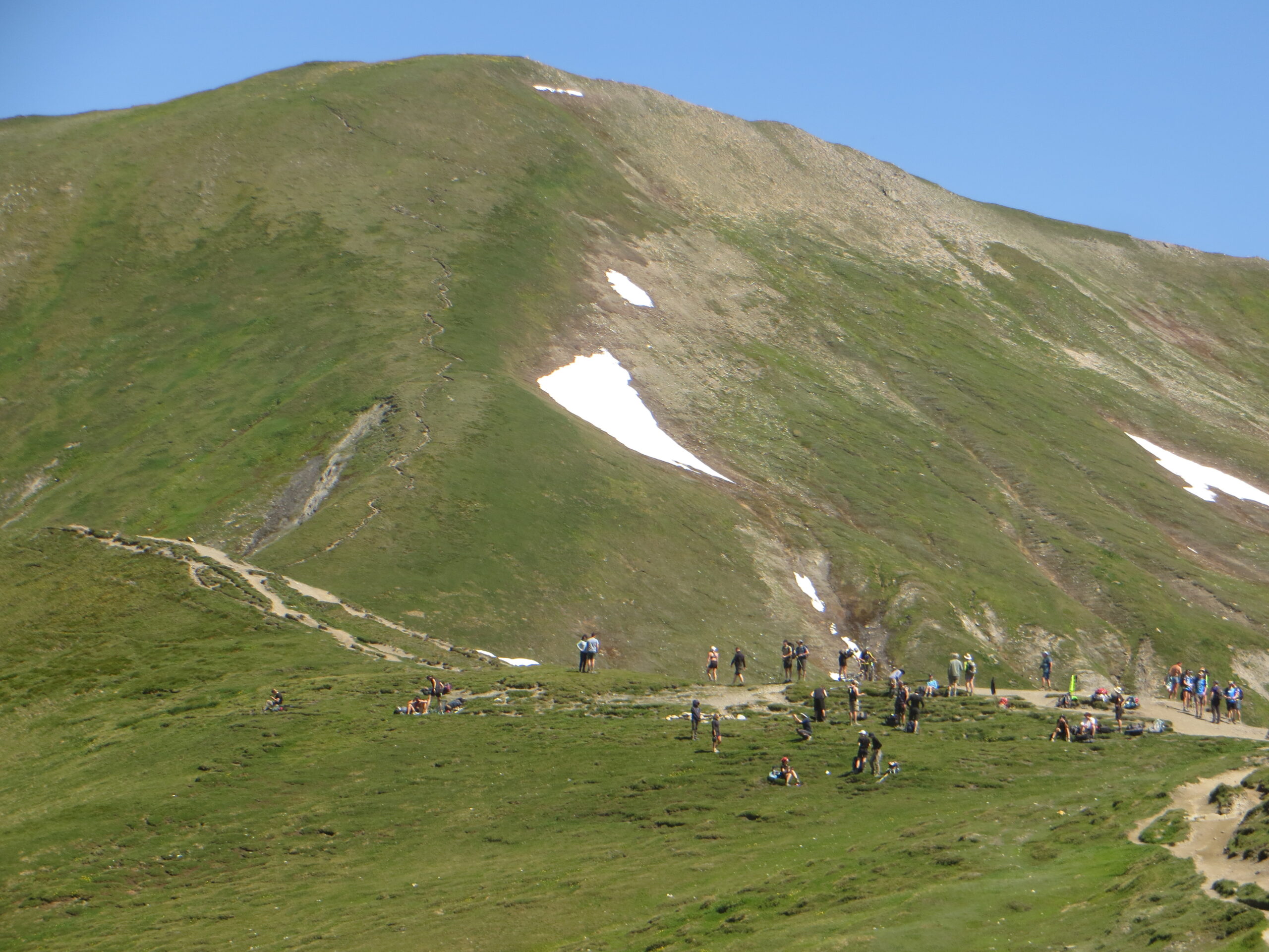
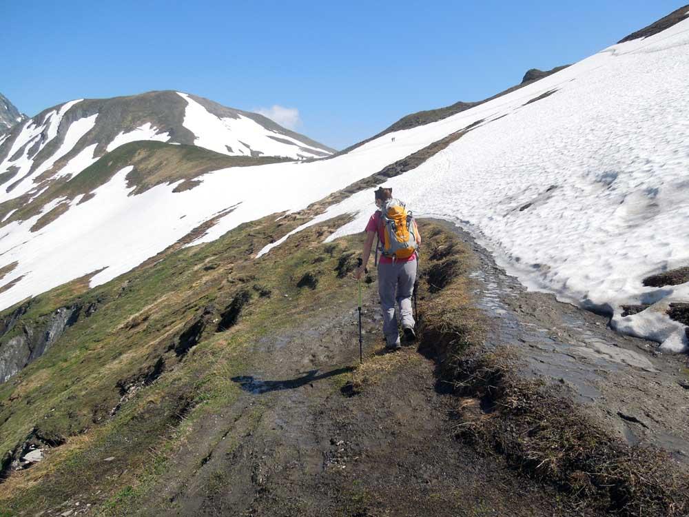
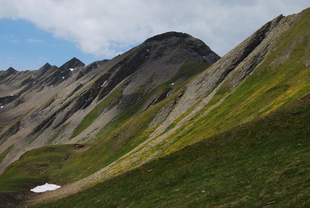
Dal colle si seguono, verso Nord, le tracce di sentiero sulla cresta erbosa (e non il sentiero a mezza costa che porta al Col du Petit Ferret) che conducono alla Tête de Ferret (2714 m).
Il ritorno avviene lungo l’itinerario di salita.
- Cartografia:
- IGC 4 Massiccio del Monte Bianco 1:50.000
Ultima revisione 18/01/2024
Nelle vicinanze Mappa
Itinerari
18/08/2023 AO, Courmayeur D+ 1100 m EEA Varie
Angroniettes (Aiguille des), spalla ovest 2885 m da Arnouva, anello per il Vallone Belle Combe
 0m
0m
05/06/2016 AO, Courmayeur D+ 979 m EE Varie
Belle Combe (Alpeggi) da Arnouva per le Alpi di Tsa da Jean
 50m
50m
18/07/2025 AO, Courmayeur D+ 821 m EEA Sud
Dalmazzi Cesare (Rifugio) da Arnouva
 50m
50m
10/07/2016 AO, Courmayeur D+ 932 m EE Ovest
Bellecombe (Mont de) o Bella Comba da Arnouva
 50m
50m
28/08/2022 AO, Courmayeur D+ 1041 m EE Sud
Fiorio Cesare (Bivacco) da Arnouva
 50m
50m
15/09/2019 AO, Courmayeur D+ 661 m EE Est
Comino Gianni (Bivacco) da Arnouva
 50m
50m
21/08/2016 AO, Courmayeur D+ 1125 m EEA Varie
Bellecombe (Vallone) e quota 2890 m da Arnouva, traversata per Vallone Malatrà
 50m
50m
08/07/2011 AO, Courmayeur D+ 1233 m EE Tutte
Chéarfière (Monte) da Arnouvaz, anello per Lavachey
 50m
50m
21/11/2011 AO, Courmayeur D+ 741 m EE Sud
Petit Ferret (Col du) da Arnouva
50m
03/09/2025 AO, Courmayeur E Varie
Gran Ferret (Col du) e Col du Petit Ferret da Arnouva, anello
 50m
50m
Servizi
2.9Km
3.9Km
Lavachey Albergo
Courmayeur 8Km
8Km
Hôtel du Col de Fenêtre Albergo
La Fouly 8.4Km
8.4Km
Chalet le Dolent B&B
La Fouly 8.6Km
8.6Km
Majya-Joie Ristorante
La Fouly 8.6Km
8.6Km
Auberge de Maya Joie Albergo
La Fouly 8.8Km
8.8Km
Zanskar Sport Servizi
La Fouly 8.8Km
8.8Km
Auberge des Glaciers Albergo
La Fouly 8.8Km
8.8Km
Supermarché de La Fouly Servizi
La Fouly 8.8Km
8.8Km