150m
150m



Note
 50m
50m
50m
50m
3.1Km
4.2Km
4.2Km
4.2Km
50m
50m
50m
50m
3.1Km
4.2Km
4.2Km
4.2Km
150m
150m
400m
1.8Km
3.8Km
4.1Km
5.9Km
5.9Km
6.2Km
6.3Km
Itinerario "due in uno": punto forte della gita è il sentiero "napoleonico" da Marmora (b.ta Superiore) a Stroppo, attraverso il colle dell'Encucetta, qui descritto con un'estensione gratificante su per i pascoli del Vallone di Marmora, fino al colle Intersile del Festa ed alle vette del M.Festa e di Costa Chiggia.
Avvicinamento
.
Descrizione
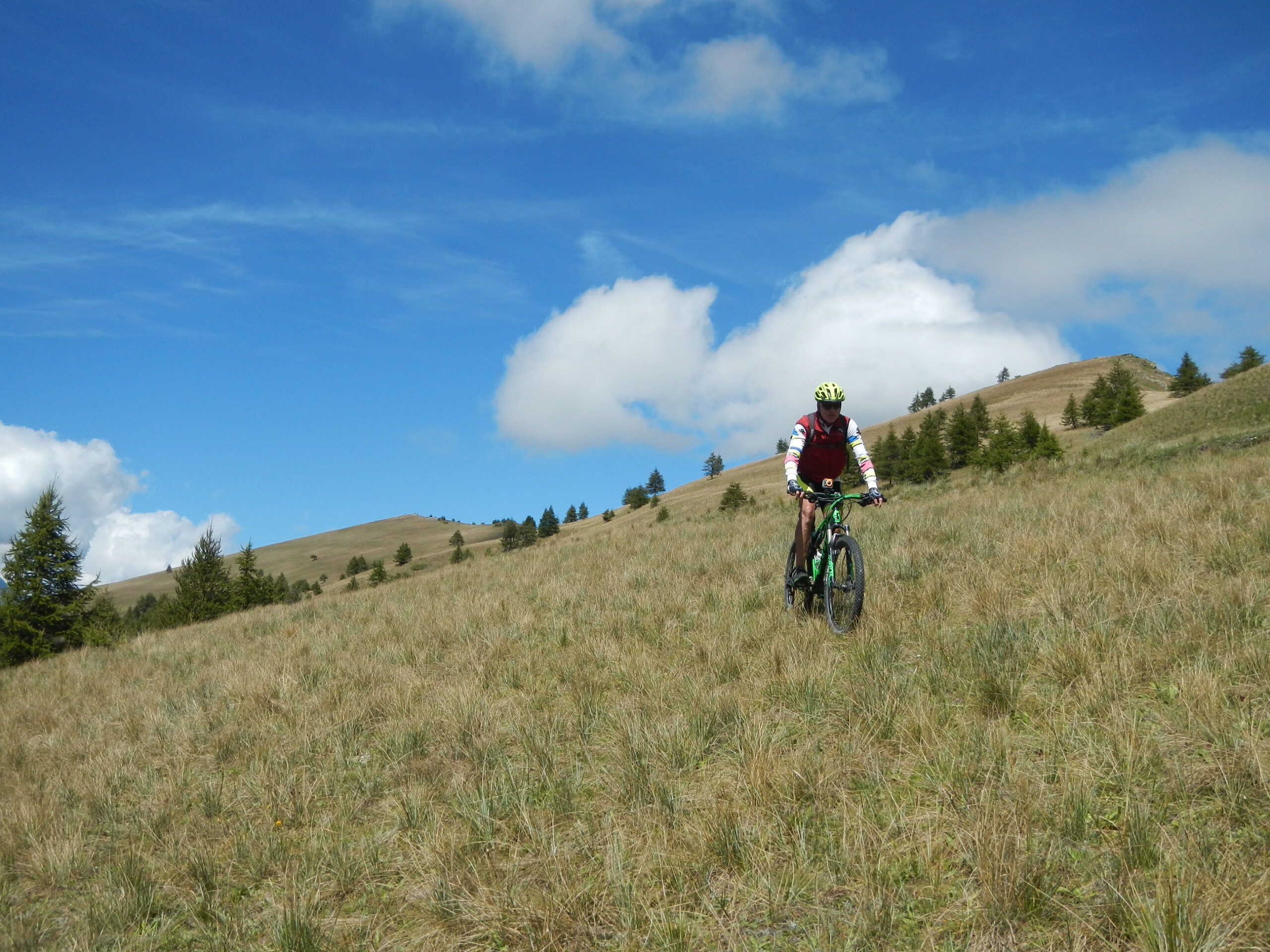
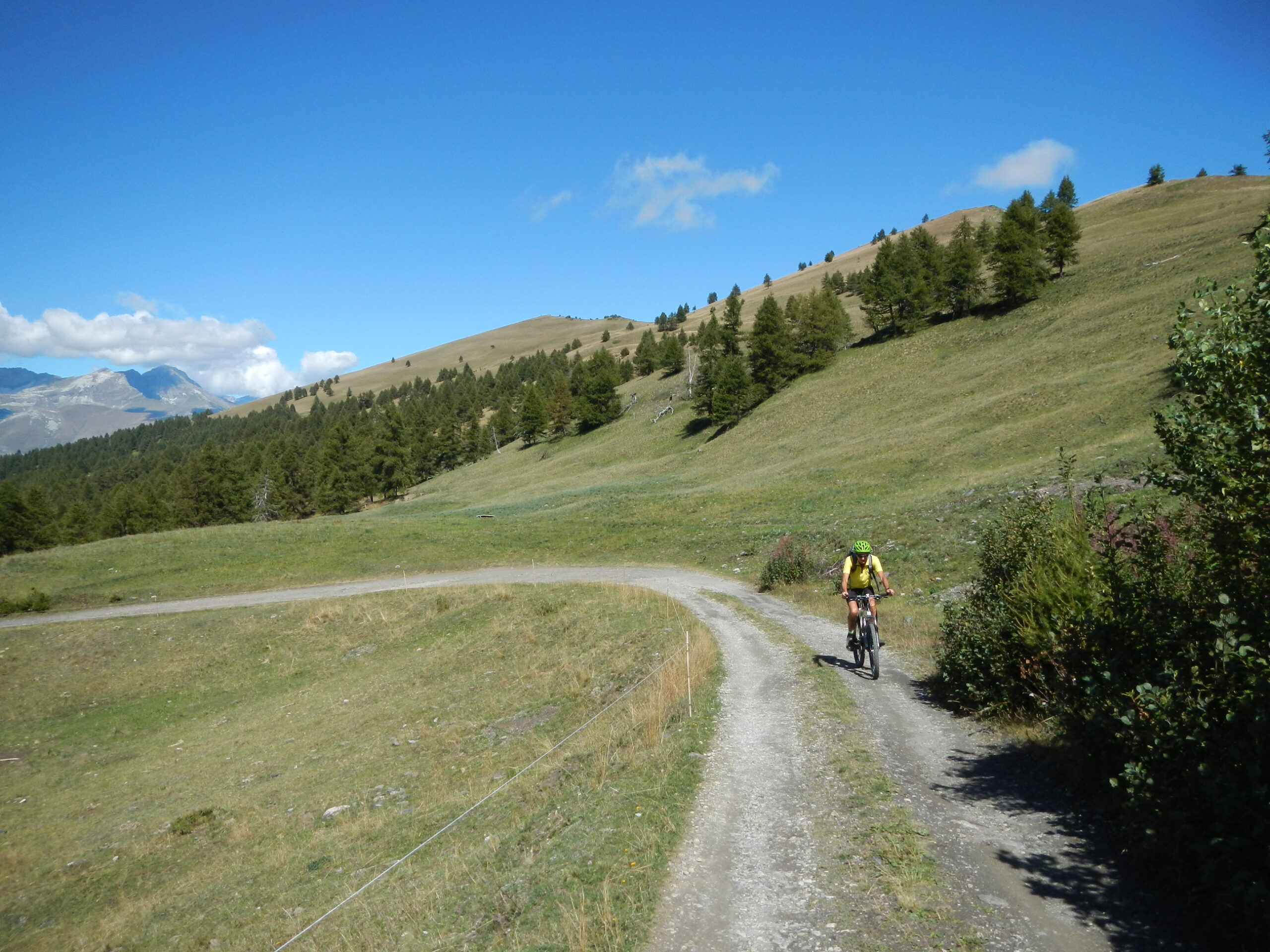
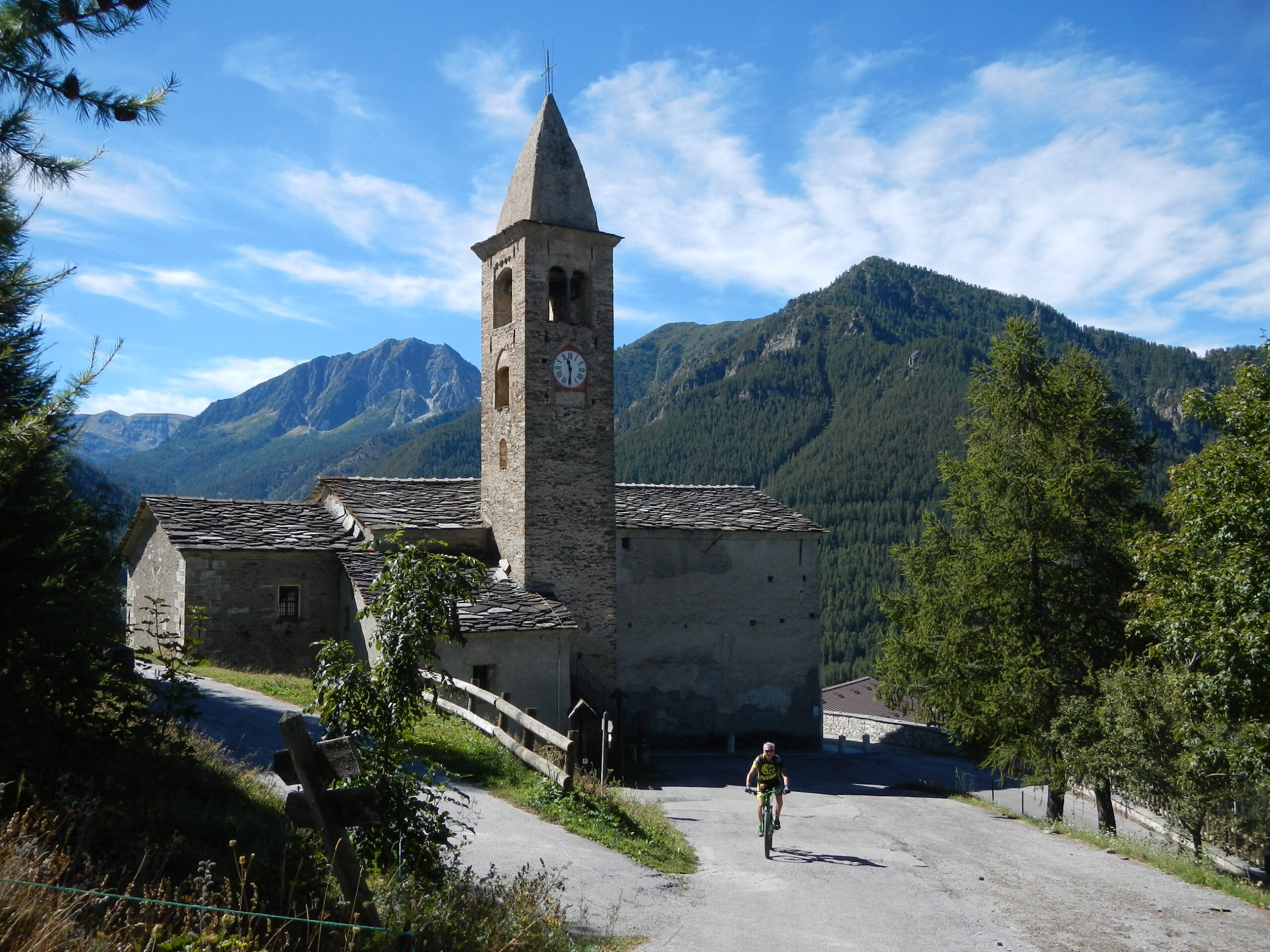
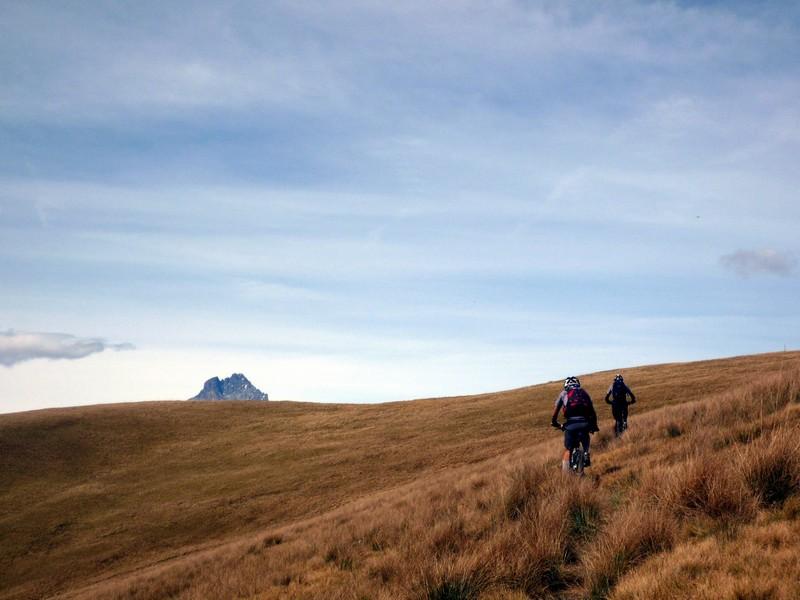
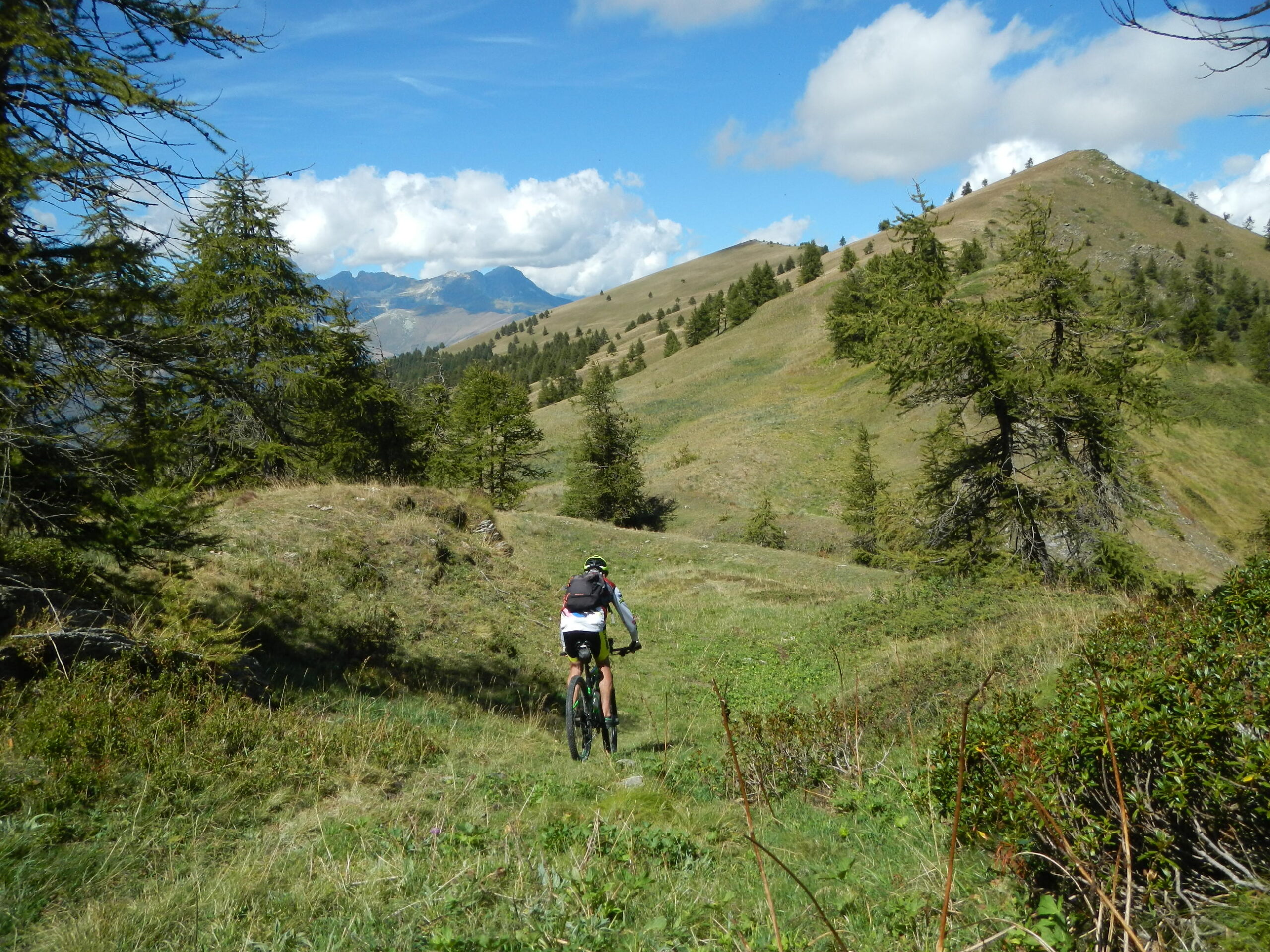
Lasciata l’auto a Stroppo, si prosegue verso Ponte Marmora, dove si svolta a sinistra; qualche km di salita e si arriva a Vernetti (Marmora), dove si prosegue verso il Colle d’Esischie; si lascia la strada principale per raggiungere Parrocchia di Marmora. Passando di fianco alla chiesa, si imbocca il ripido asfalto (che diventa sterrato in un paio di km) verso il Colle Intersile del Festa (2.077 m). Giunti sul colle volgete lo sguardo a sinistra e cercate il passaggio migliore per raggiungere (bici al fianco) la vetta del Festa, divallate cento metri scarsi e seguite come potete la cresta prativa verso Costa Chiggia. Al primo prato promettente, giù la sella e dritti fino a riprendere la strada di salita.
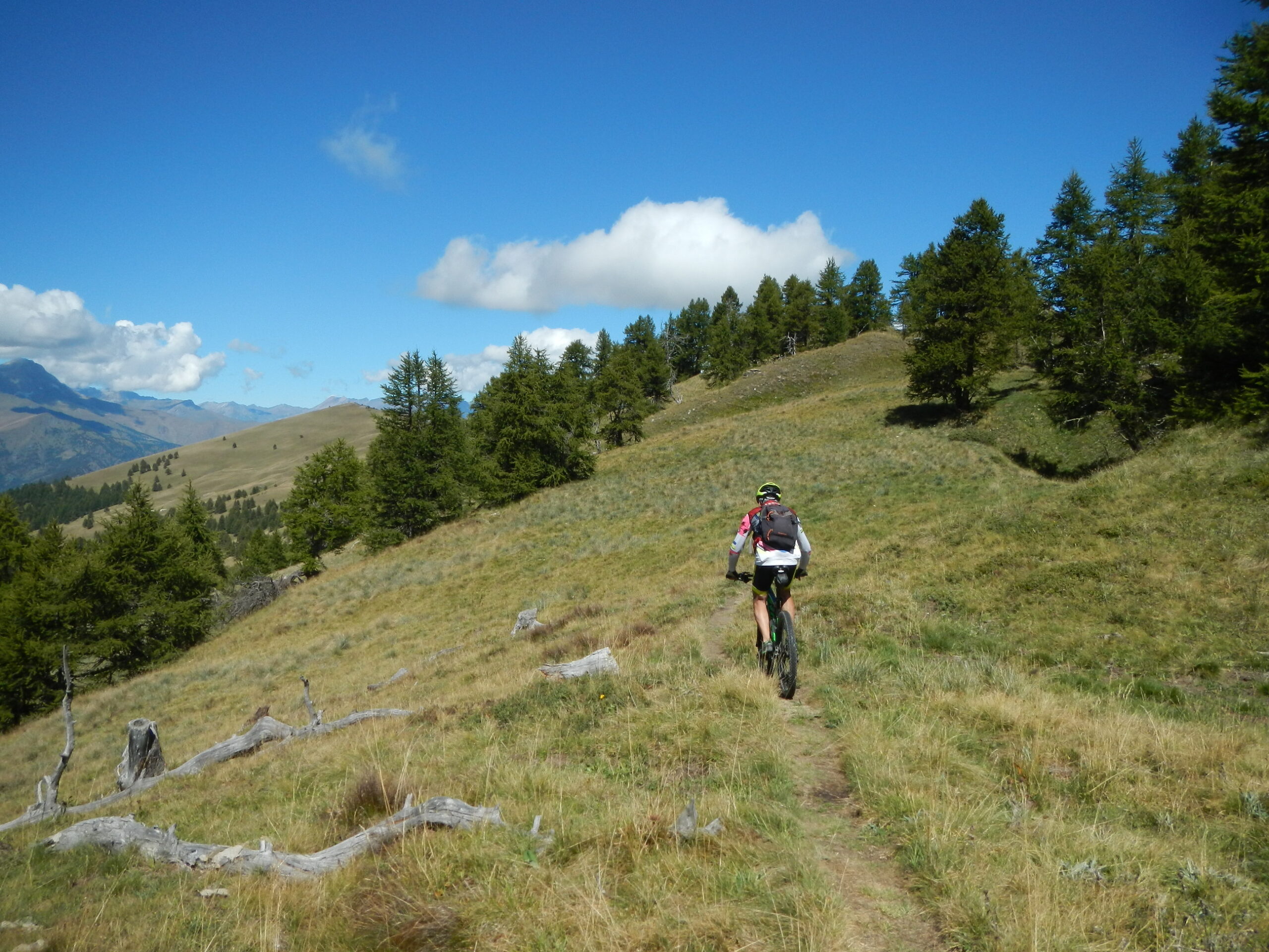
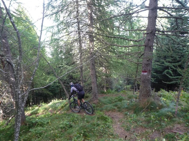
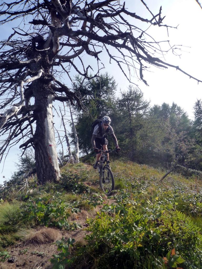
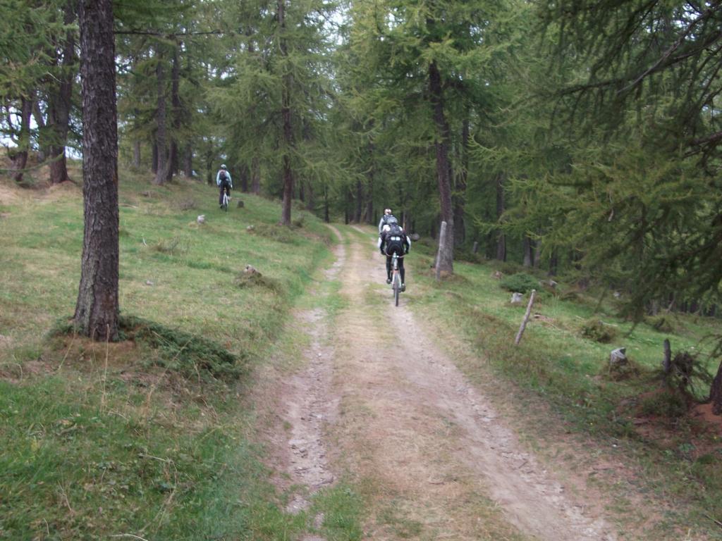
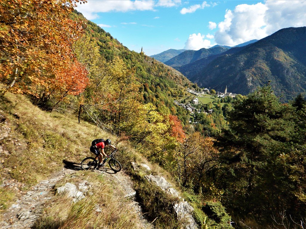
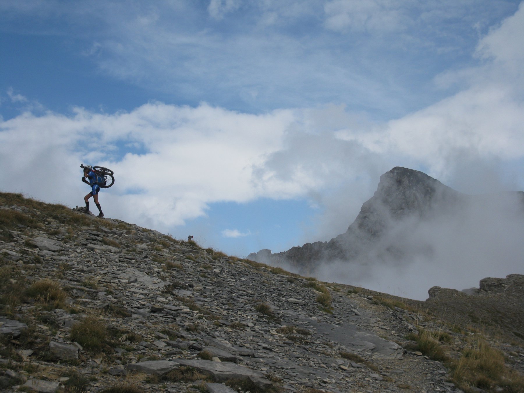
Tornati a Parrocchia e Borgata Superiore occorre imboccare il viottolo a destra chi si insinua tra le case e lascia poco dopo spazio ad un single-track magnifico: ripide salite e tratti scorrevoli si alternano, nel fitto del bosco, fino al Colle dell’Encucetta. E’ la “Napoleonica”, collegamento militare di metà ‘700 fra Elva e la valle Stura, che la leggenda vuole percorso anche dall’imperatore di Francia.
Al colle si ignora la diramazione per Palent e ci si lancia a capofitto tra i faggi: dapprima tecnico, poi più facile, il sentiero deposita su una strada forestale, che seguita verso destra, discende al ponte sul Maira di Bassura di Stroppo. Il fondo è generalmente buono e compatto, la ciclabilità di quasi il 100%.
VARIANTE: Dalla cima di Costa Chiggia anzichè tornare a Parrocchia si può scegliere di proseguire verso il Monte Buch scendendo sul fil di cresta di Costa Chiggia e pedalando su un tratto di sentiero ben marcato su di un pendio erboso molto suggestivo. In breve si raggiunge il Monte Buch. Alla palina con indicazioni Palent si affonta la discesa sul pendio (a tratti esposto) che domina il vallone di Celle Macra. Poco dopo il primo tratto aereo, il sentiero diventa molto ripido e occorre percorrerlo a piedi per circa 100-150 m (presenza di due corde fisse). Superato questo tratto, il sentiero perde quota agile e scorrevole nel bosco diventando ben ciclabile e divertente. Ci si immette su di una sterrata e la si percorre raggiungendo la caratteristica borgata di Palent, la si attraversa nel suo interno e si prosegue seguendo le tacche giallo-blu del Perscorso Occitano (P.O). Un divertente tratto di sentiero conduce ad Aramola e si prosegue a sinistra in leggera salita giungendo alla Cappella della Madonna. Seguire fedelmente le tacche del P.O con divertenti sali e scendi nel bosco e altri tratti veloci e divertenti fino ad attraversare il Maira e giungere a Bassura chiudendo l’anello. (tot. circa 30 km 1500 m disl)
- Cartografia:
- IGC 1:50000 n.7 Valli Maira Grana e Stura
Nelle vicinanze Mappa
Itinerari
01/06/2014 CN, Stroppo D+ 1625 m MC, BC+, S2 Sud
Sampeyre (Colle di) e Colle della Bicocca da Bassura, discesa per il sentiero occitano, San Martino e Grange Vignale
 50m
50m
19/09/2022 CN, Stroppo D+ 850 m BC, BC, S1 Sud
Morinesio, Cucchiales, San Martino (Borgate) da Stroppo, giro
 50m
50m
01/11/2011 CN, Stroppo D+ 1300 m BC, OC, S2 Nord-Est
Buch (Monte) da Stroppo, giro
50m
11/06/2022 CN, Stroppo D+ 1700 m TC, BC, S2 Sud
Nebin (Monte) da Stroppo, giro
 50m
50m
05/10/2025 CN, Stroppo D+ 1150 m MC, BC, S2 Varie
Bettone (Monte) e Fremo Cuncunà da Bassura, giro
 50m
50m
11/08/2012 CN, Stroppo D+ 1650 m MC, MC+ Sud
Sampeyre (Colle di) da San Damiano Macra anello per il Colle Birrone
1.3Km
31/10/2020 CN, Stroppo D+ 1100 m MC+, OC, S3 Varie
Ruvera (Passo) sentieri Remo Einaudi, Ginestre e Balcone
 3.1Km
3.1Km
25/08/2024 CN, Marmora D+ 1950 m BC, BC+, S1 Tutte
Esischie, Sibolet, Intersile, Encucetta (Colli) da Ponte Marmora, giro
 4.2Km
4.2Km
11/07/2015 CN, Prazzo D+ 1800 m BC+, BC, S2 Nord
Bodoira (Monte) da Ponte Marmora per il Colle del Preit
 4.2Km
4.2Km
25/09/2024 CN, Marmora D+ 1700 m MC+, BC+, S2 Sud-Est
Gardetta (Passo della) e Bric Cassin da Ponte Marmora giro per il Colle del Preit e Vallone di Unerzio
 4.2Km
4.2Km
Servizi
150m
150m
Napoleonica Ristorante
Stroppo
400m
La Freidio B&B
Marmora
1.8Km
Alpes d’Oc B&B
Stroppo
3.8Km
La sousto du col Rifugio
Elva
4.1Km
Gentil Locanda Ristorante
Marmora
5.9Km
San Pancrazio – Hans Clemer Albergo
Elva
5.9Km
Dei Ciclamini Ristorante
Macra
6.2Km
Lu Pittavin Rifugio
Marmora
6.3Km