3.3Km
3.3Km

Avvicinamento
 50m
50m
50m
550m
1.8Km
1.8Km
1.8Km
1.8Km
2.3Km
50m
50m
50m
550m
1.8Km
1.8Km
1.8Km
1.8Km
2.3Km
Si raggiunge Courmayeur percorrendo o l'autostrada A5 Torino Aosta uscita Courmayeur, oppure la SS26 della Valle d'Aosta sempre fino a Coumayeur. Qui si seguono le indicazioni a destra per alcune frazioni tra cui Villair. Raggiunta Villair, dove non ci sono posteggi per i non residenti, si prosegue ancora per 1 km su strada stretta e a tratti sterrata fino al posteggio della Val Sapin (15-20 posti, in estate si riempie in fretta) oltre il quale vige divieto di transito.
Descrizione
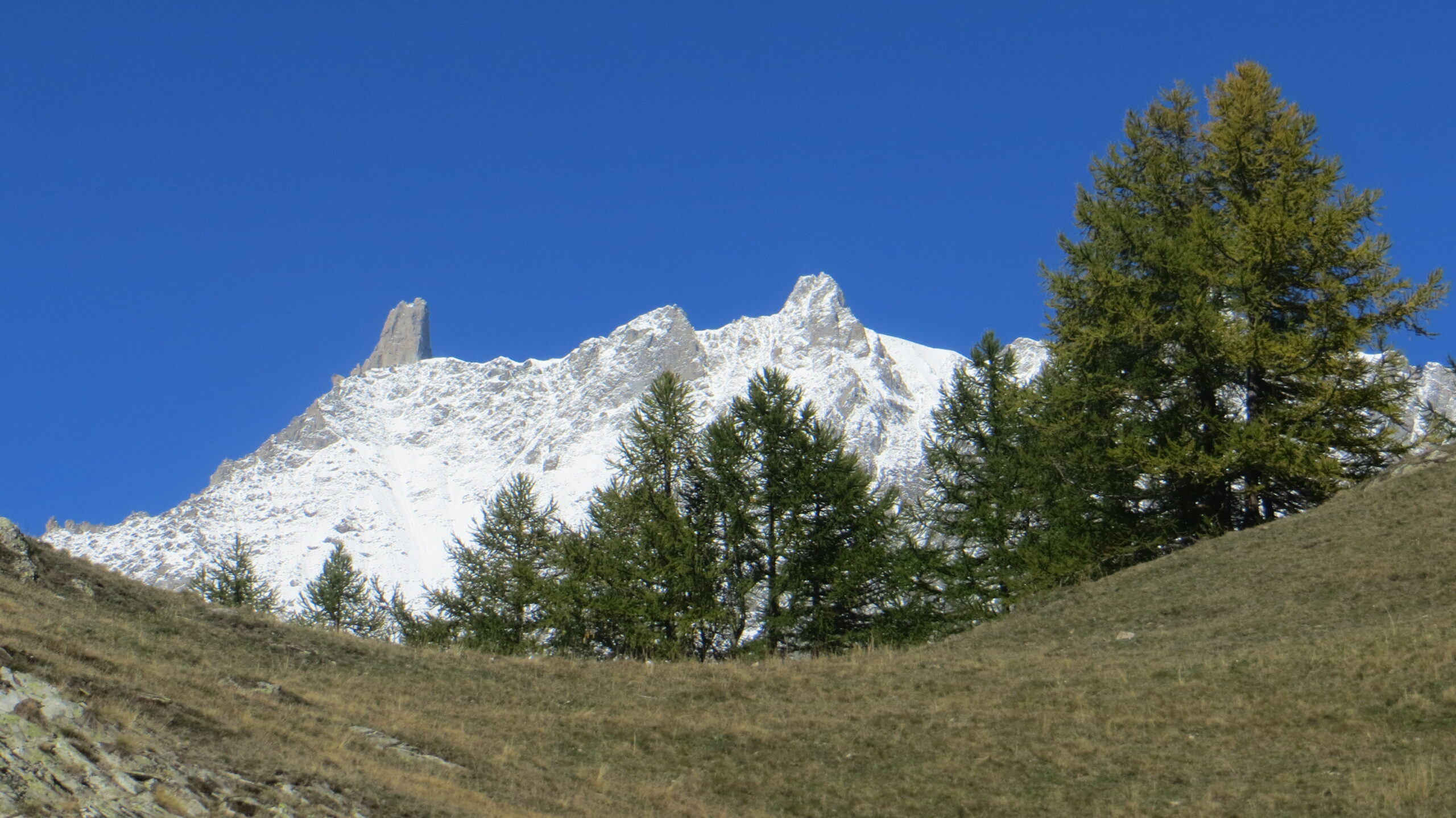
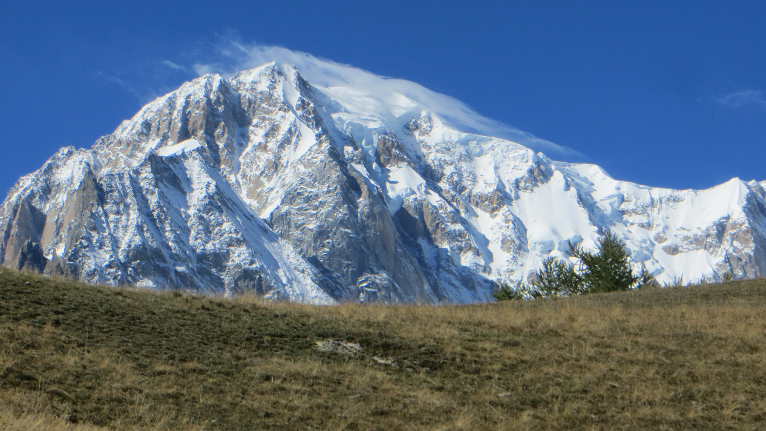
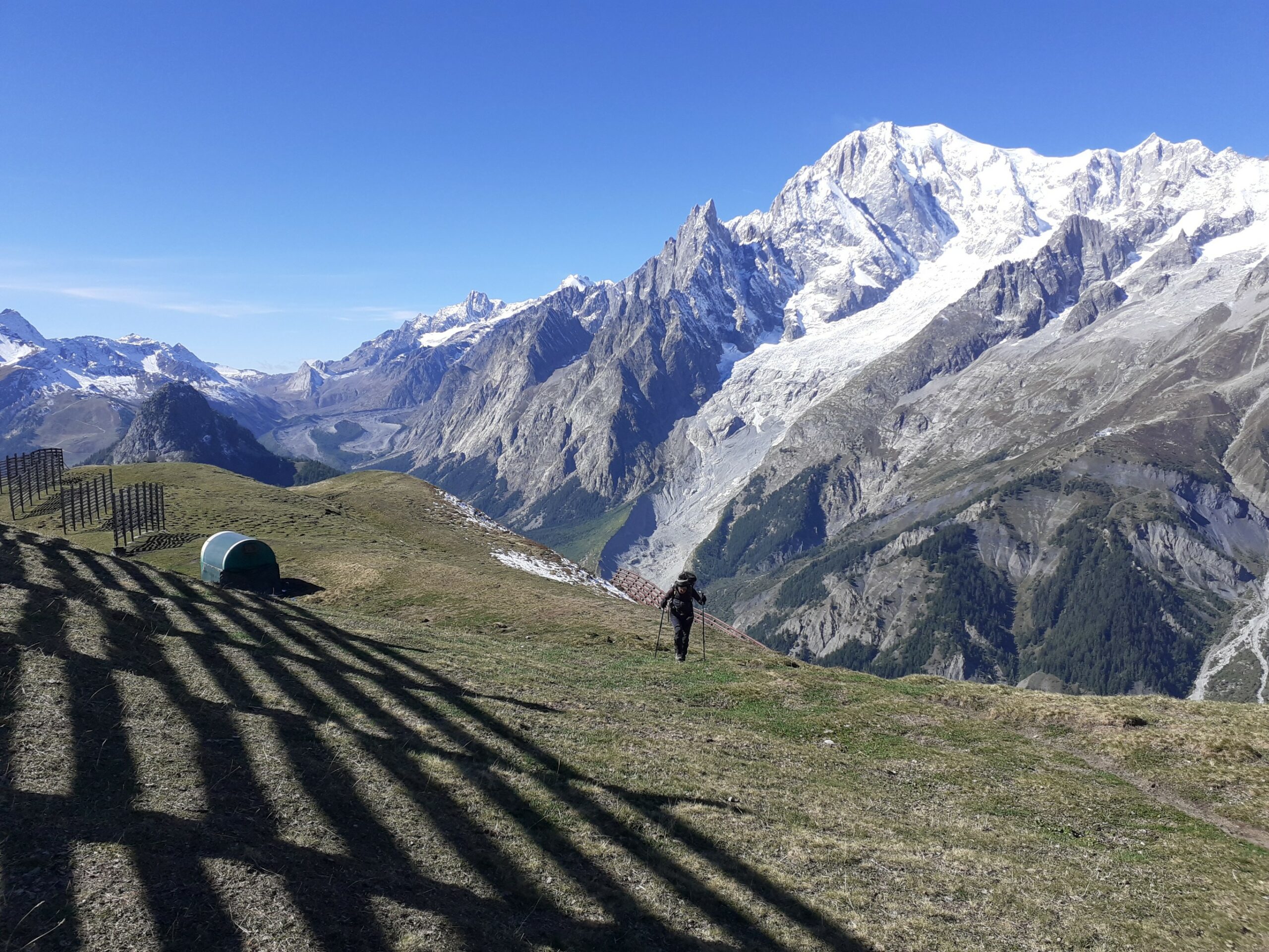
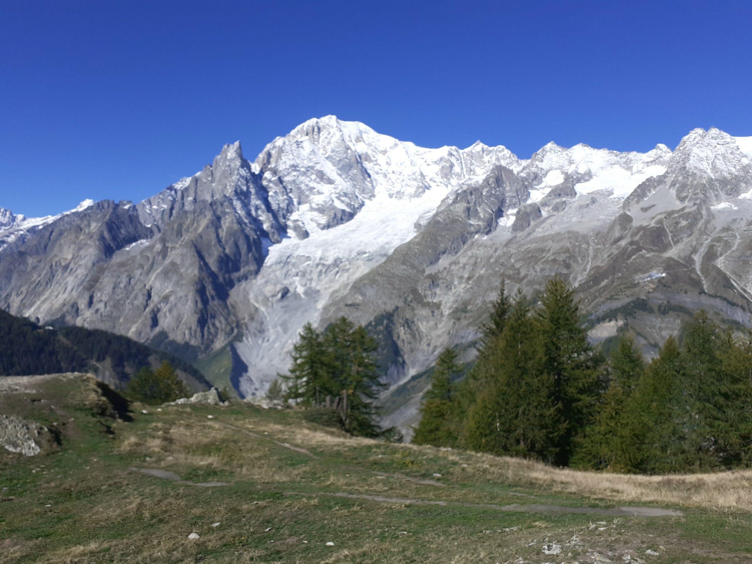
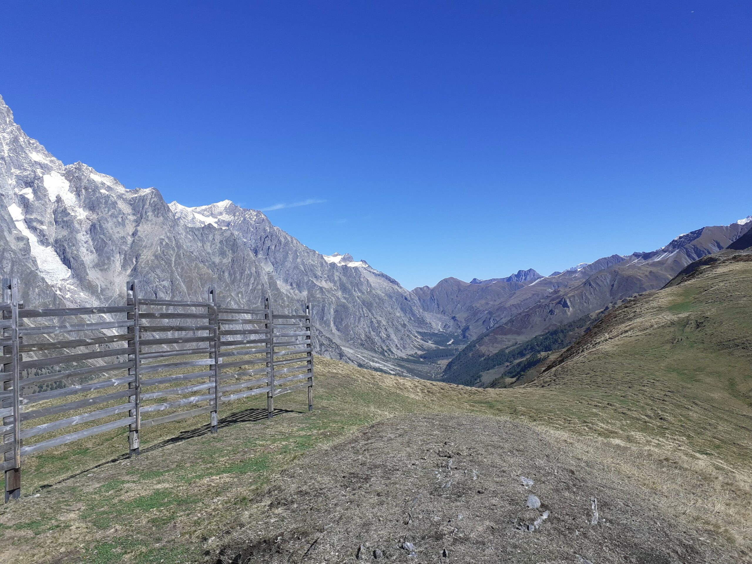
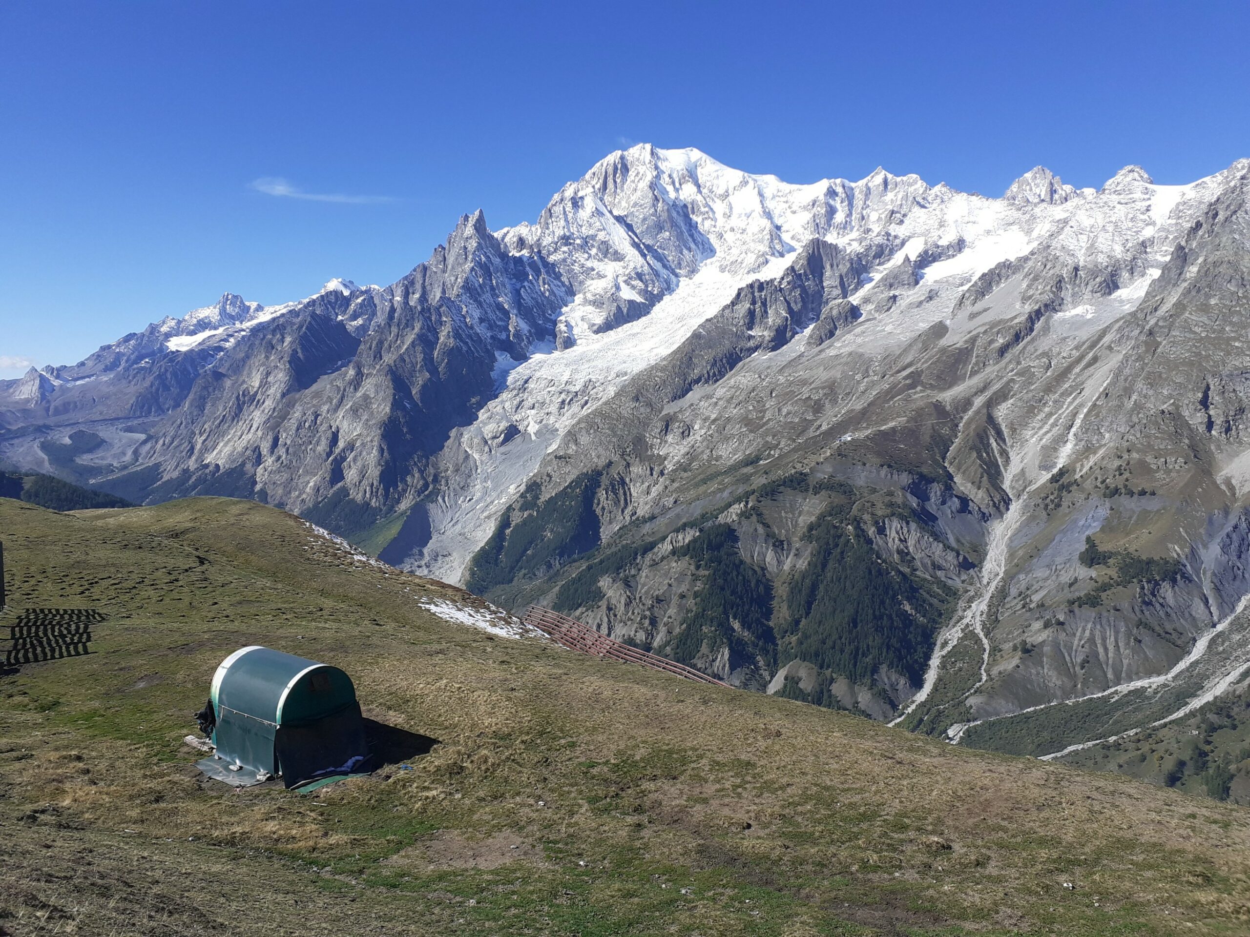
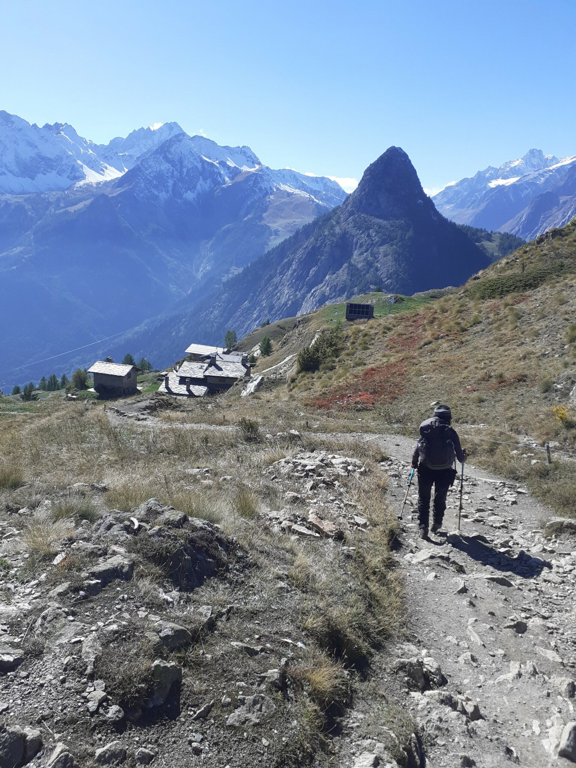
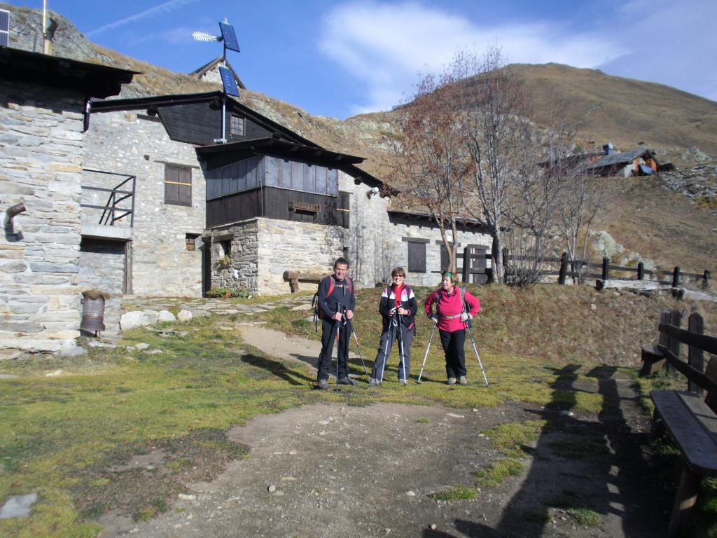
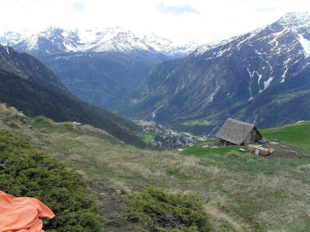
Dal posteggio si attraversa il ponte sul torrente seguendo la strada sterrata, che dopo un paio di tornanti (sono anche presenti scorciatoie) incontra a sinistra il Bivio per la Testa Bernarda ed il Rifugio Bertone.
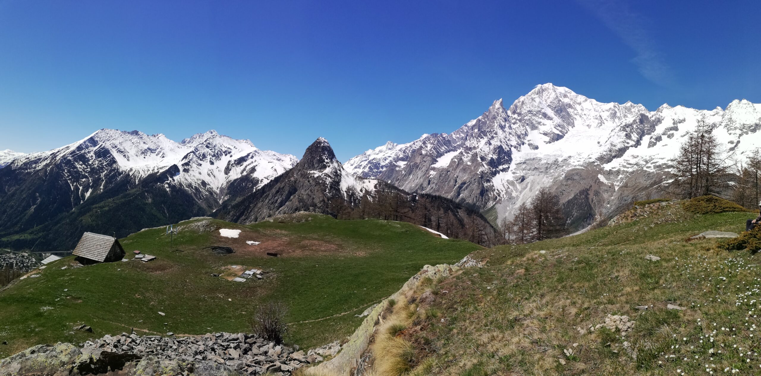
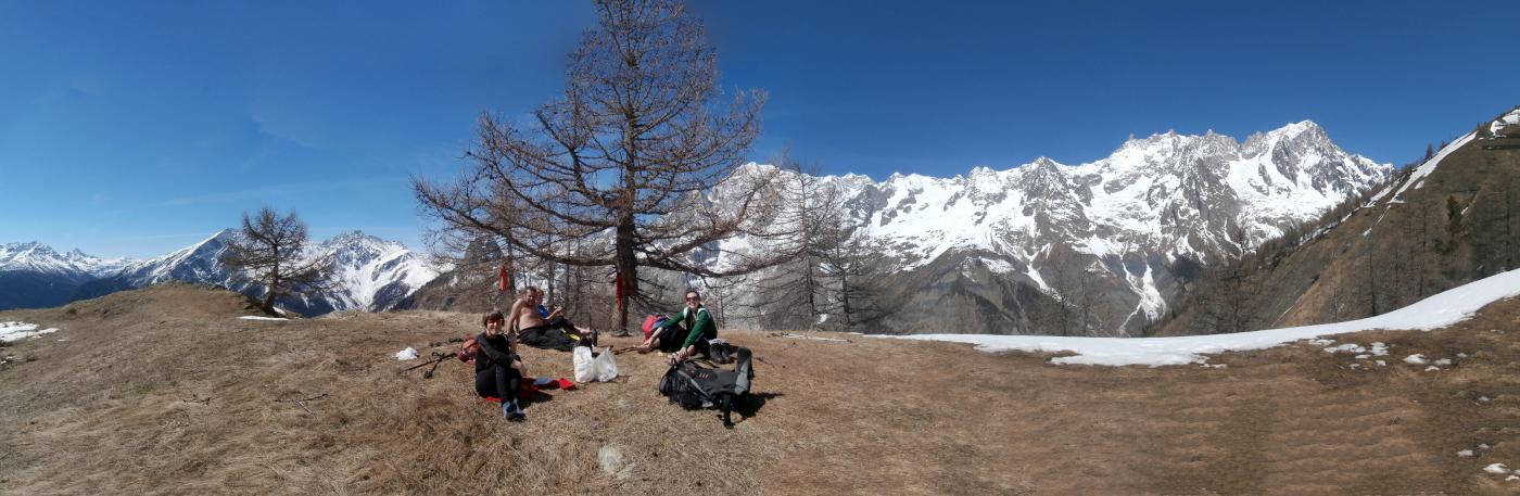
Si segue la bella mulattiera nel bosco, sentiero n.42 (TMB), che si inerpica nel versante est con tratti di selciato, fino a sbucare fuori dal bosco ormai in prossimità delle bellissime baite del Rifugio Bertone 2045 m.
Nelle vicinanze Mappa
Itinerari
29/10/2023 AO, Courmayeur D+ 1300 m E Tutte
Tronche (Testa della) da Villair, anello della Val Sapin
 50m
50m
20/07/2025 AO, Courmayeur D+ 1355 m E Sud
Tronche (Testa della) e Testa Bernarda da Villair, anello per i Monts de la Saxe e Col Sapin
 50m
50m
08/11/2024 AO, Courmayeur D+ 1530 m EE Ovest
Liconi (Testa di) da Villair per la Val Sapin
 50m
50m
27/09/2015 AO, Courmayeur D+ 500 m E Ovest
Tirecorne (Baite) da Courmayeur, anello per la Suche
 550m
550m
29/06/2025 AO, Courmayeur D+ 2382 m E Varie
Giro del Monte Bianco da Courmayeur a La Fouly
 1.8Km
1.8Km
13/08/2023 AO, Courmayeur D+ 1515 m EE/F Varie
Cormet (Mont) da Courmayeur, traversata a Morgex
 1.8Km
1.8Km
17/01/2024 AO, Courmayeur D+ 3750 m EE Varie
Giro dei Giganti Tappa 1: Courmayeur – Valgrisenche
1.8Km
12/07/2025 AO, Courmayeur D+ 9300 m E Tutte
Monte Bianco (Giro del) da Courmayeur, giro antiorario (4 gg)
 1.8Km
1.8Km
10/07/2019 AO, Courmayeur D+ 1652 m E Nord-Ovest
Liconi (Testa di) da Courmayeur per la Val Sapin
 1.8Km
1.8Km
12/08/2025 AO, Courmayeur D+ 1200 m EEA Sud-Est
Chetif (Mont) da Courmayeur per il sentiero attrezzato del Bicentenario CHIUSO PER MANUTENZIONE agosto 2025
 2.3Km
2.3Km