6.2Km
6.2Km

Avvicinamento
 100m
3.6Km
3.7Km
3.7Km
4.2Km
4.7Km
4.9Km
4.9Km
4.9Km
4.9Km
100m
3.6Km
3.7Km
3.7Km
4.2Km
4.7Km
4.9Km
4.9Km
4.9Km
4.9Km
Da Elevaz seguire nla strada innevata fino ai piani superiori (vallone sospeso incantato) tra il Crammont e la Tete de Vieux.
Descrizione
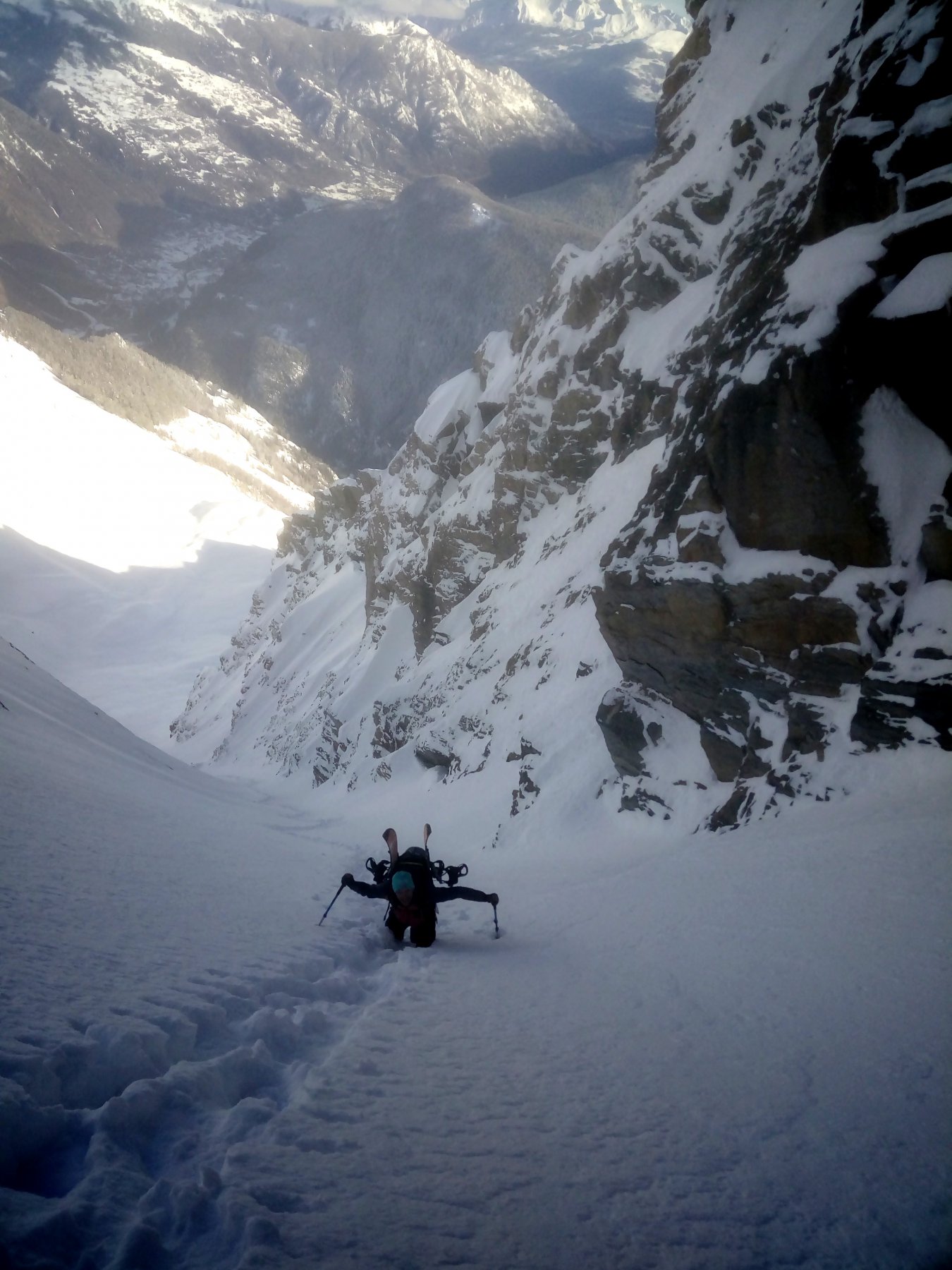
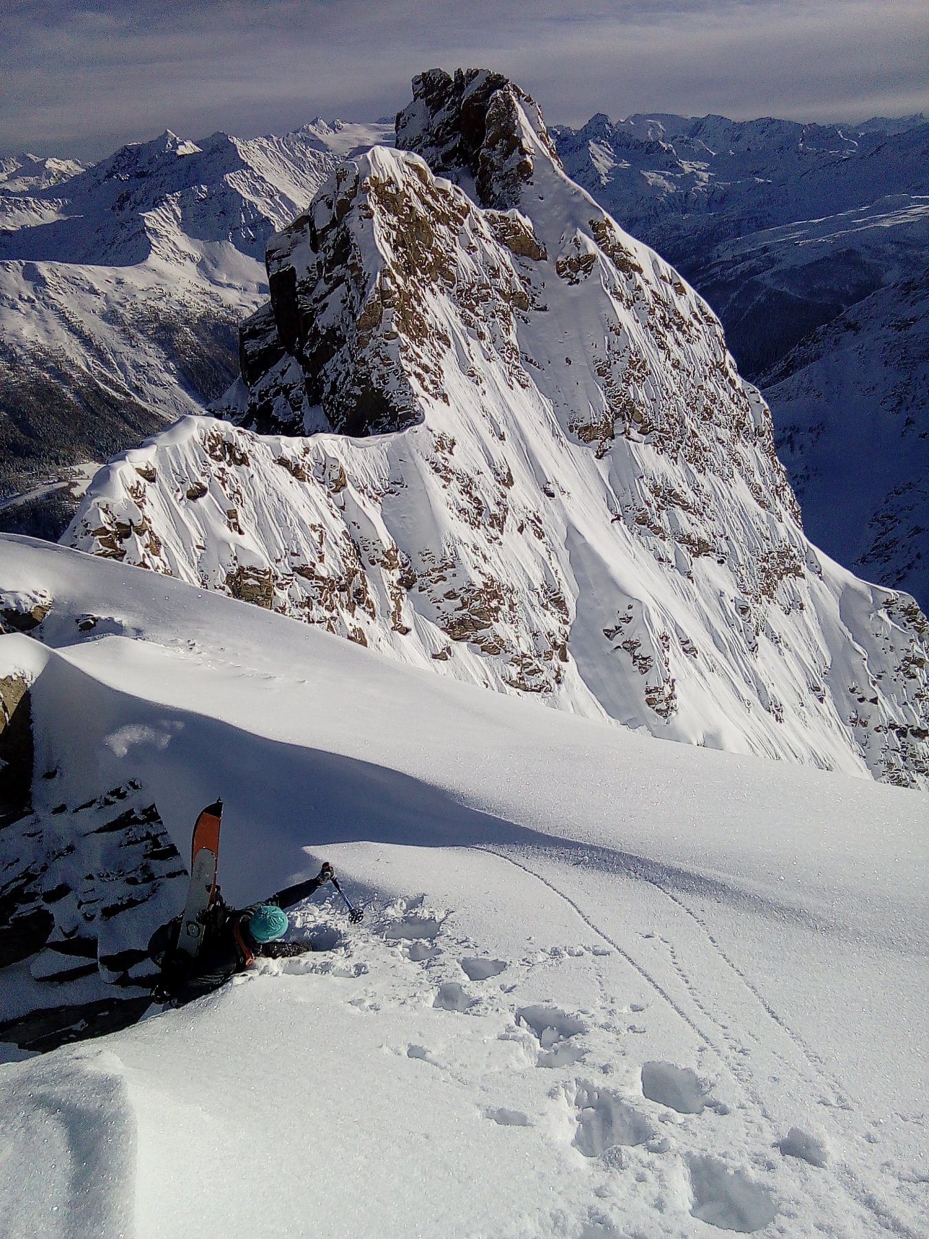
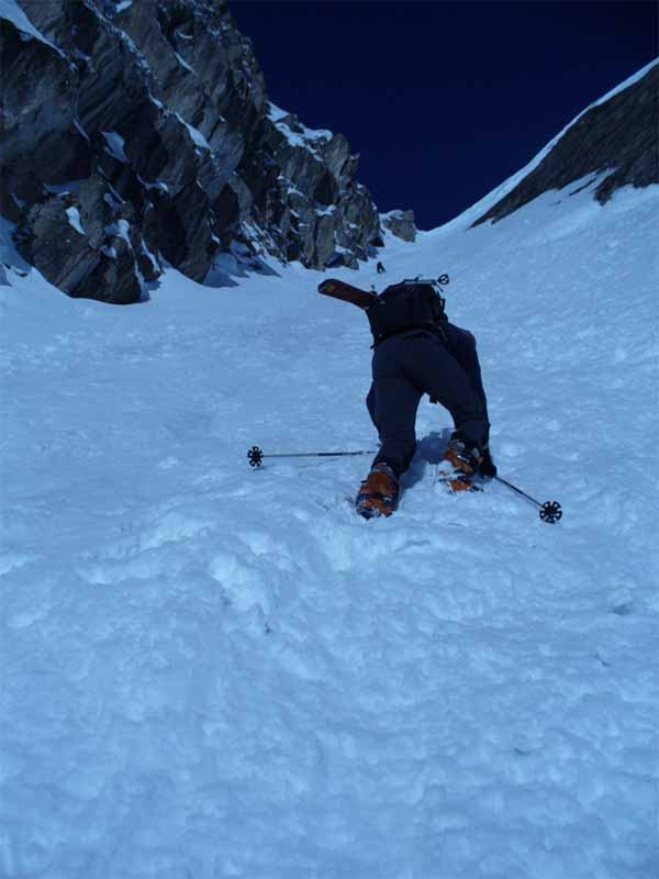
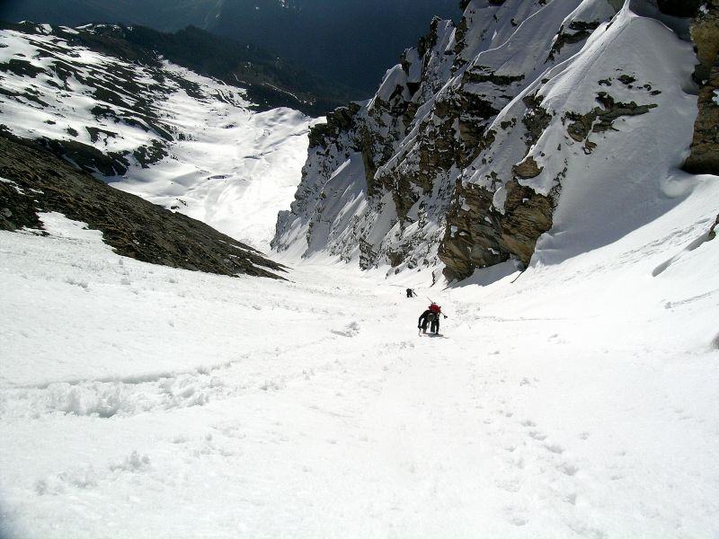
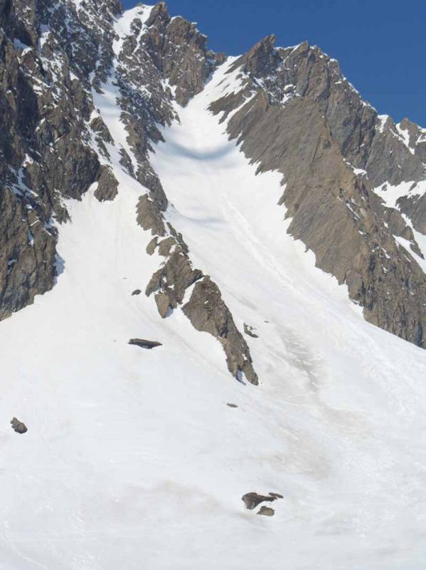
La parete E-NE della Tete de Vieux appare di fronte in tutta la sua imponenza. Il canale è quello centrale più stretto ed estetico, quasi rettilineo con una leggera curvatura verso dx nella parte finale: 550m circa, 250m 40°, 150m 40/45°, 100m 50°, cornice frequente in uscita che raddrizza ulteriormente per pochi metri la partenza.
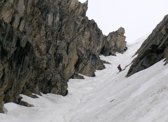
Il canale nelle ultime centinaia di metri è assai incassato e curva un pò: è una specie di diedro aperto formato da un lato da una fascia strapiombante di scisti incombenti e dall’altro da un enorme placconata quasi verticale.
Tale conformazione impone spesso di sciare sulle contropendenze (le placche innevate sulla sx scendendo) su pendenze che risultano un pò più sostenute di quelle che si incontrano risalendo il fondo del canale stesso.
Ultima revisione 01/01/2025
Nelle vicinanze Mappa
Itinerari
04/06/2008 AO, Pré-Saint-Didier D+ 1600 m 4.2, E3 Nord
Vieux (Tete de) Canale dx – Couloir delle Placche
 100m
100m
13/12/2025 AO, Pré-Saint-Didier D+ 1500 m II, 4.1, E2 Varie
Ane (Tête de l’) da Elevaz
 3.6Km
3.6Km
15/12/2025 AO, La Thuile D+ 1430 m II, 3.3, E1 Varie
Vieux (Tete de) cresta Tete de l’Ane quota 2747 m Canale del Buco da La Balme
 3.7Km
3.7Km
22/01/2022 AO, La Thuile D+ 1538 m II, 4.3, E2 Nord-Est
Belleface (Mont, punta sud) Canale NE
 3.7Km
3.7Km
22/02/2025 AO, Courmayeur D+ 1400 m III, 4.1, E1 Nord
Crammont (Mont) Canale Nord
 4.2Km
4.2Km
11/02/2012 AO, Courmayeur D+ 800 m II, 4.1, E3 Sud-Est
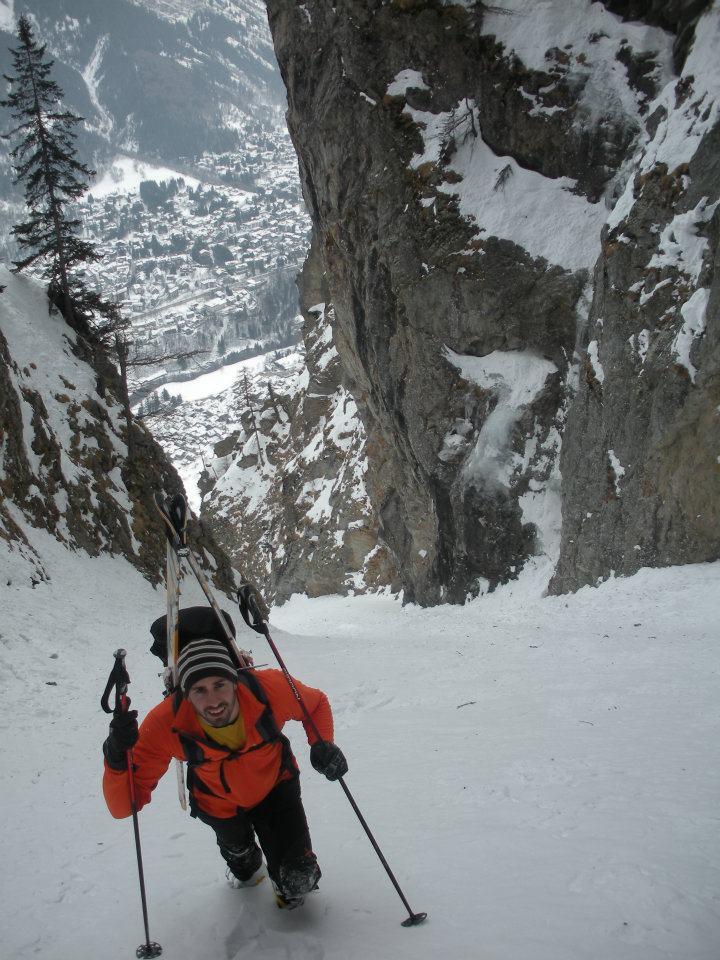
Chetif (Mont) Canale del Ripetitore
 4.7Km
4.7Km
18/06/2017 AO, Courmayeur D+ 2352 m II, 4.3, E3 Sud
Bionnassay (Aiguille de) Cresta/Parete SE e Ghiacciaio di Bionnassay
 4.9Km
4.9Km
06/03/2022 AO, Courmayeur D+ 1050 m II, 4.2, E1 Nord
Favre (Mont) Canale a Gomito
 4.9Km
4.9Km
13/06/2024 AO, Courmayeur D+ 3210 m III, 5.4, E3 Sud-Ovest
Bianco (Monte) Parete SO – Couloir Saudan
 4.9Km
4.9Km
15/05/2022 AO, Courmayeur D+ 1840 m II, 5.2, E2 Nord-Est
Piccolo Monte Bianco o Petit Mont Blanc – Canale Nord/Est o Bonatti
 4.9Km
4.9Km