750m
750m

Note
 50m
50m
50m
50m
50m
50m
50m
50m
50m
50m
50m
50m
50m
50m
50m
50m
50m
50m
50m
50m
Per gli amanti della wilderness, il Vallone di Tillac è in grado di soddisfare ogni aspettativa: se già è difficile raggiungere l’Alpeggio lungo i sentieri della Foresta di Derby ormai nascosti dal tempo, dall’Alpeggio in poi si procede solo su esili tracce di sentiero coperte da rododendri o senza indicazioni, ma sempre su terreno scoperto, facile e mai pericoloso.
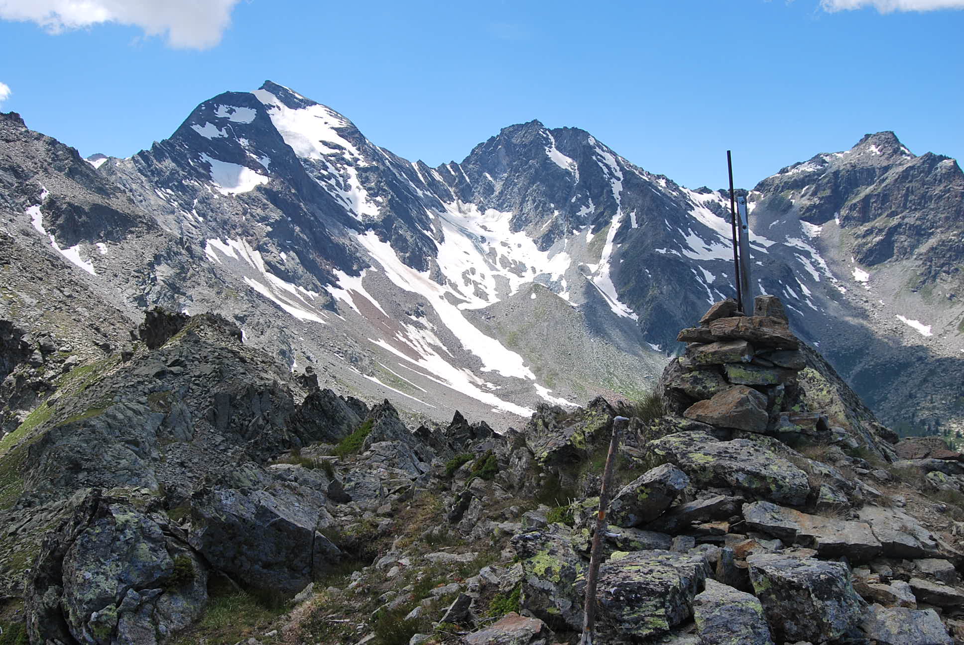
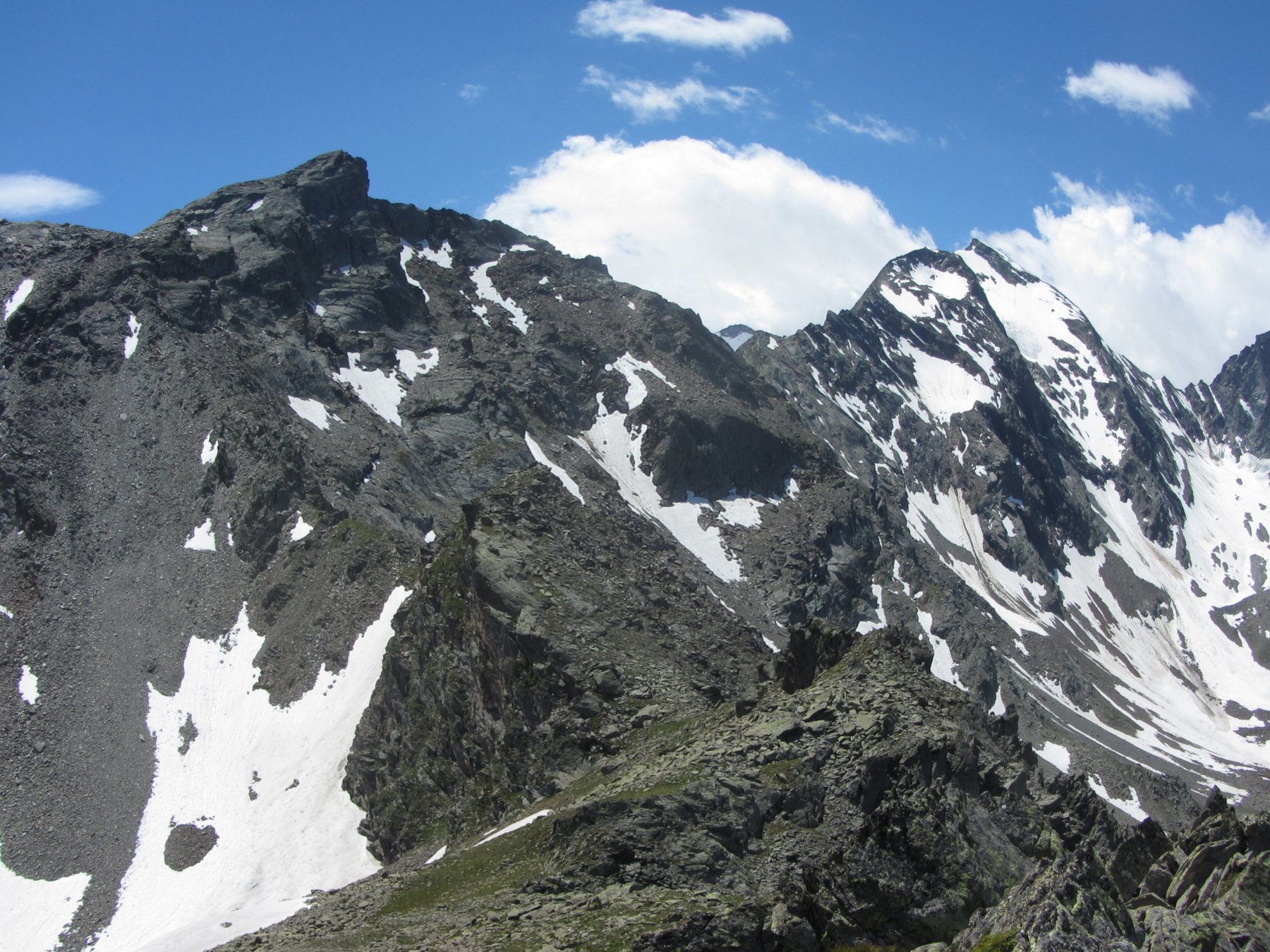
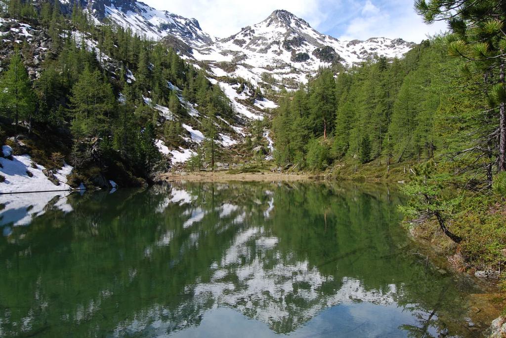
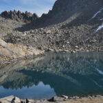
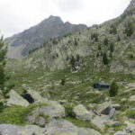
L’escursione qui proposta porta prima al solitario ed incantevole Lago di Tillac, nascosto tra i pini e con i suoi tronchi sommersi a fare da sbarramento, e poi prosegue verso la vetta del Mont Vallettaz, elevazione sulla cresta spartiacque con il Vallon d’en Haut e notevole punto panoramico.
Avvicinamento
L’escursione qui proposta porta prima al solitario ed incantevole Lago di Tillac, nascosto tra i pini e con i suoi tronchi sommersi a fare da sbarramento, e poi prosegue verso la vetta del Mont Vallettaz, elevazione sulla cresta spartiacque con il Vallon d’en Haut e notevole punto panoramico.
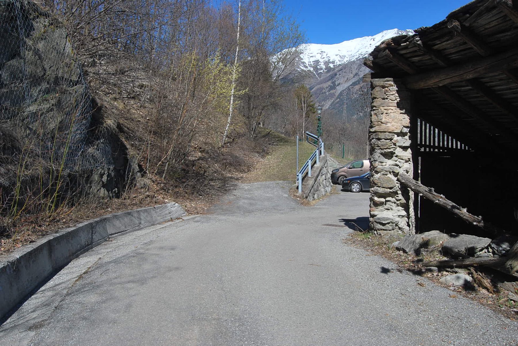
A La Salle attraversare la Dora Baltea e risalire la strada asfaltata (scorciatoia alla scaletta con mancorrente), attraversando gli abitati di Chabodey e La Pera.
Descrizione
Fuori dalle case parte sulla destra (palina con segnavia) un sentiero che ritrova quasi subito la strada asfaltata in corrispondenza di un masso che riporta l’indicazione per il sentiero n. 11. Si segue il sentiero, che taglia alcune volte la strada, fino al punto in cui inizia il divieto di transito alle auto.
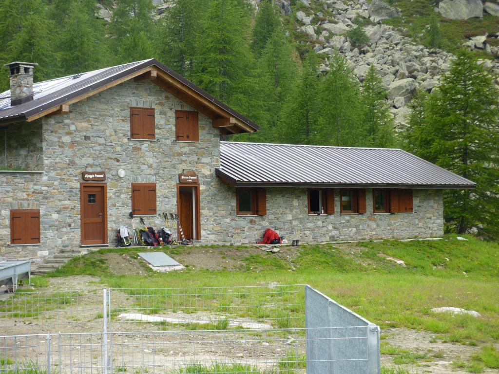
Qui si diparte sulla sinistra (palina con indicazioni e targa pirografata) una larga pista che sale all’Alpeggio di Lazey (1500 m). Arrivati all’alpeggio si hanno più possibilità per arrivare a Tillac: a) seguire l’indicazione per Tillac (targa pirografata alla fontana) proseguendo sulla strada sterrata fino al bivio in cui stacca (altra targa) la sterrata per l’alpeggio; b) procedere sulla sterrata ma arrivati alla baita ristrutturata di Dailley cercare, nel bosco di fronte, un sentiero che sale, ignorando quello che volta a sinistra e porta invece a Petratra, c) a Lazey non attraversare il Lenteney ma costeggiarlo, risalendo fino ad incontrare la strada, che va seguita in direzione Val du Fond fino all’indicazione per Tillac (palina con segnavia n. 21).
Da Tillac si segue il sentiero che sale nel bosco prima costeggiando il torrente, poi attraversandolo e dirigendosi diritto contro il versante opposto del vallone (pochi ometti e due indicazioni in blu sbiadite).
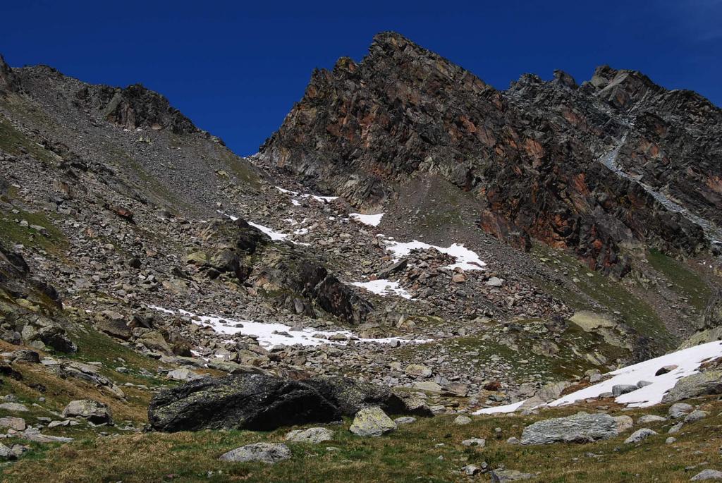
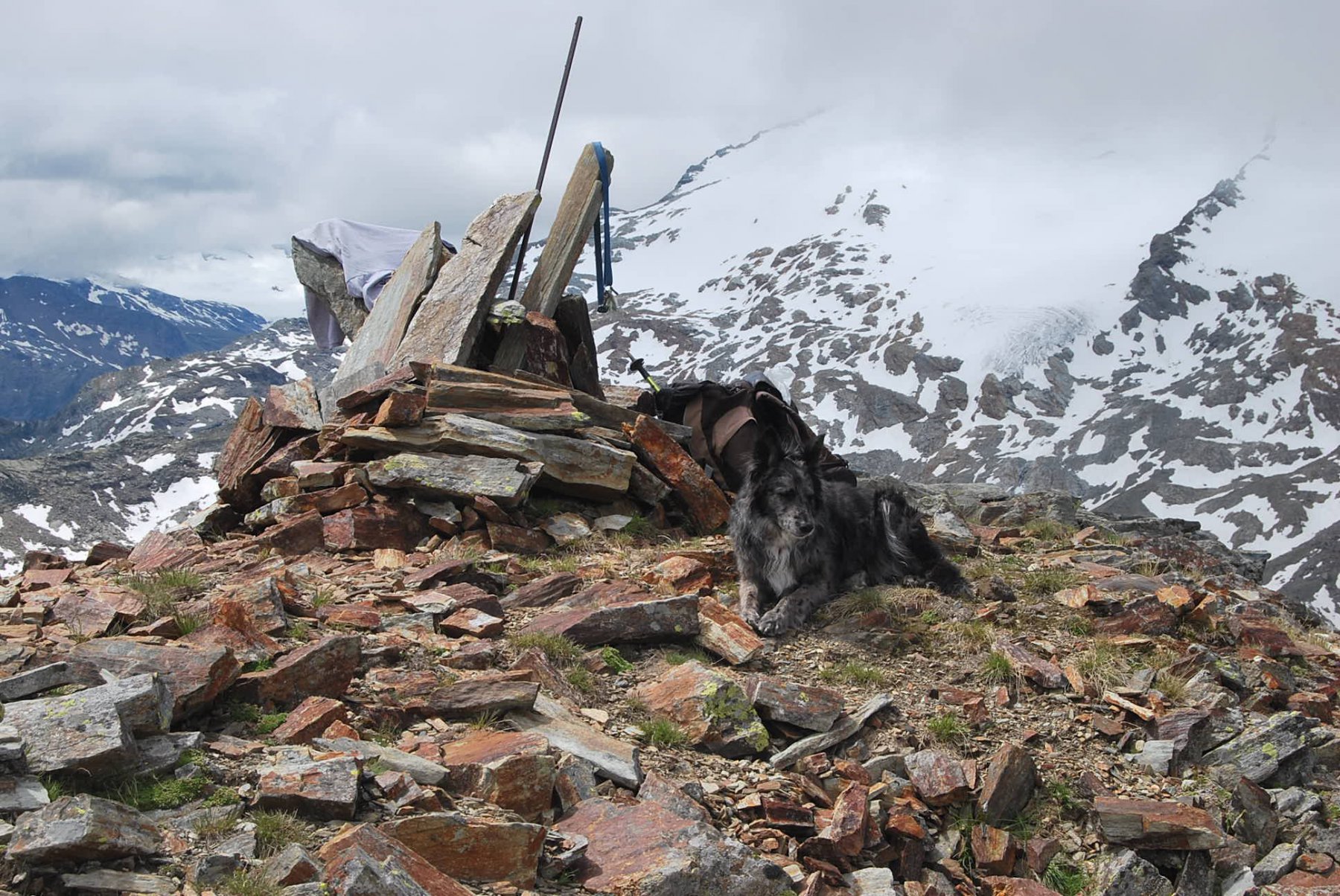
Il sentiero, appena visibile e ormai nascosto dai rododendri, aggira con alcuni traversi una rupe, quindi la risale e costeggia il torrente arrivando in breve al lago (2020 m). Costeggiando il lago e poi il suo immissario lungo la sua sponda sinistra, si arriva ad un pianoro erboso a quota 2100 m. Senza percorso definito, si attraversa il torrente e si punta contro il fianco del vallone, in direzione di un panettone terroso (evitare le pietraie) che va risalito fino alla sommità, da cui ci si dirige ora verso la cima, attraversando prima un tratto quasi in piano e poi risalendo facilmente su terreno misto fino alla vetta, individuata dall’ometto con palina.
Discesa lungo lo stesso percorso dell’andata.
- Cartografia:
- Carta L’Escursionista, Fg. 2 (LaThuile - PS Bernardo), Scala 1:25000
- Bibliografia:
- L. Zavatta – Le Valli del Monte Bianco, L’Escursionista Editore
Nelle vicinanze Mappa
Itinerari
11/06/2024 AO, La Salle D+ 1480 m EE Est
Brolliat (Mont) da Chabodey
 50m
50m
13/08/2013 AO, La Salle D+ 1873 m EE Sud-Est
Leseney (Passo di) da Chabodey, traversata al Rifugio Deffeyes per il Passo di Leseney
 50m
50m
23/06/2019 AO, La Salle D+ 1370 m EE Varie
Folliet (Croce di) da Chabodey, anello
 50m
50m
06/04/2012 AO, La Salle D+ 1198 m E Est
Leseney (Alpeggio) da Chabodey
 50m
50m
04/06/2021 AO, La Salle D+ 638 m T Est
Tillac (Alpe) da Chabodey
 50m
50m
02/07/2017 AO, La Salle D+ 1996 m EE Varie
Crosatie (Punta e Col de la) da Chabodey traversata a Planaval per il Col Crosatie
 50m
50m
19/08/2018 AO, La Salle D+ 1176 m E Est
Lenteney (Laghi di) da Chabodey
 50m
50m
23/03/2019 AO, La Salle D+ 452 m EE Est
Costablina (Alpeggio) da Chabodey, anello
 50m
50m
17/10/2022 AO, La Salle D+ 1200 m E Varie
Pouegnenta o Pougnenta (Becca) da Chabodey
 50m
50m
15/07/2025 AO, La Salle D+ 1292 m E Nord-Est
Zappelli Cosimo (Bivacco) da Chabodey
 50m
50m