1.1Km
1.1Km
Avvicinamento
 50m
800m
1.1Km
2.1Km
3Km
3Km
3Km
50m
800m
1.1Km
2.1Km
3Km
3Km
3Km
1.1Km
1.1Km
1.3Km
4.3Km
5.7Km
5.8Km
6.1Km
6.7Km
6.7Km
8.2Km
.
Descrizione
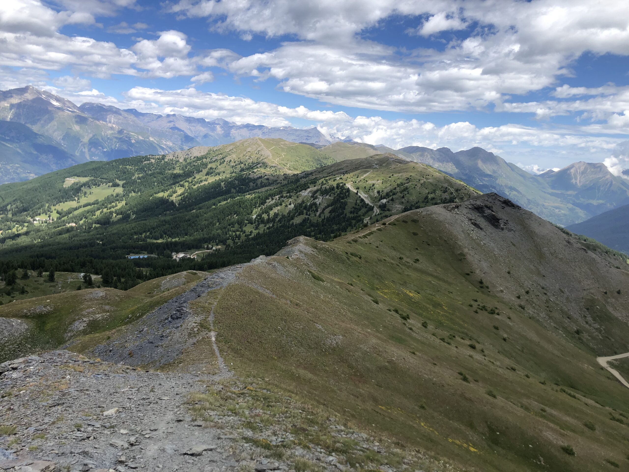
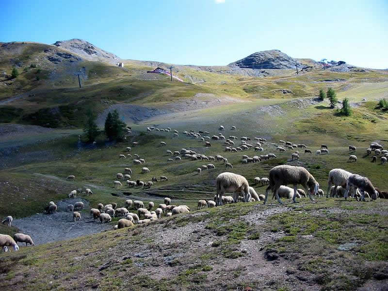
Da Sauze d’Oulx incamminarsi sulla sterrata (indicazioni) che porta velocemente alla borgata Le Clotes e al Rif. Ciao Pais.
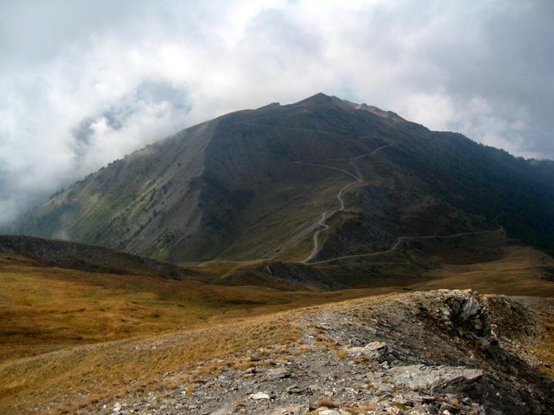
Proseguire sulla sterrata o in alternativa prendere una traccia sulla dx seguendo poi il tracciato di una pista da sci, andando ad incrociare la strada sterrata superiore ad una quota di circa 2100 m che arriva da Sauze d’Oulx.
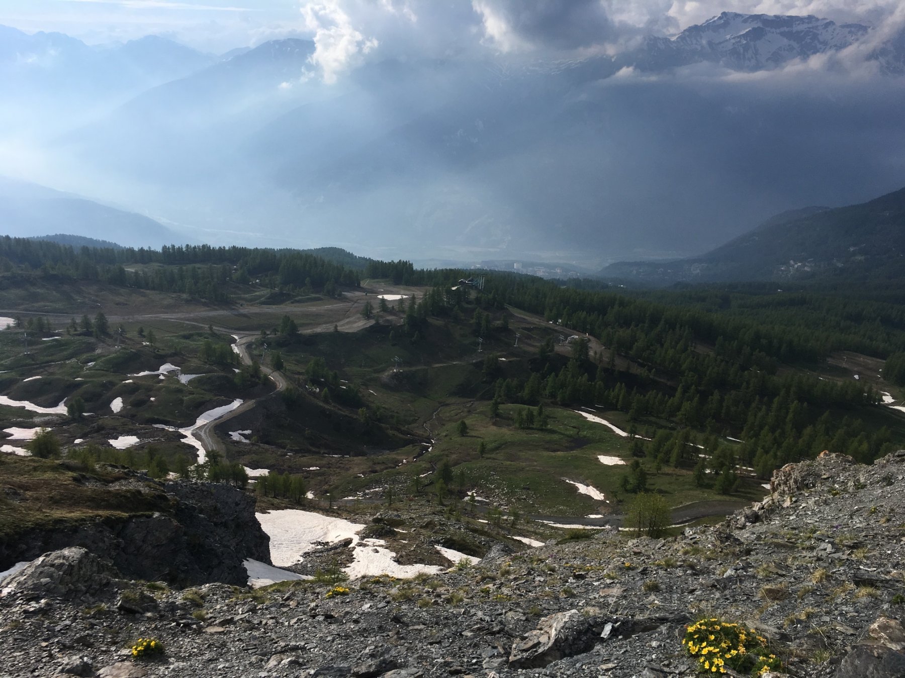
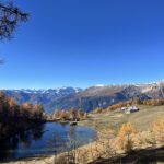
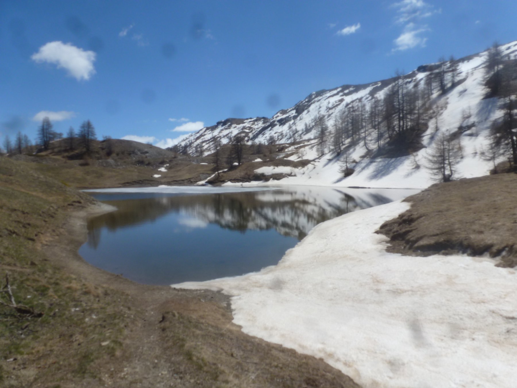
Deviare a dx e con percorso semipianeggiante si raggiunge Sportinia. Si prosegue sulla sterrata che sale con alcune svolte raggiungendo la conca dove si trova il bel Lago Nero.
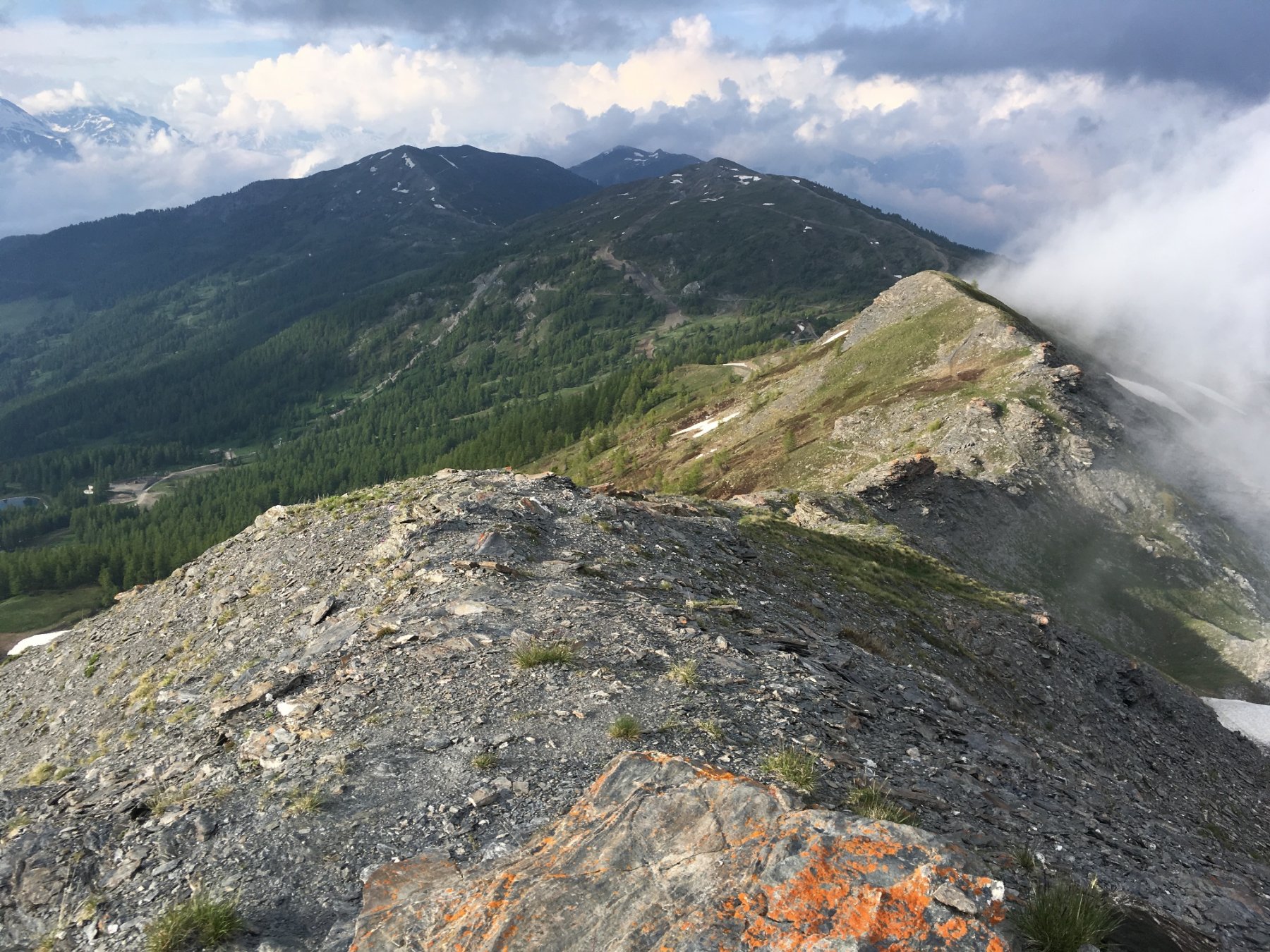
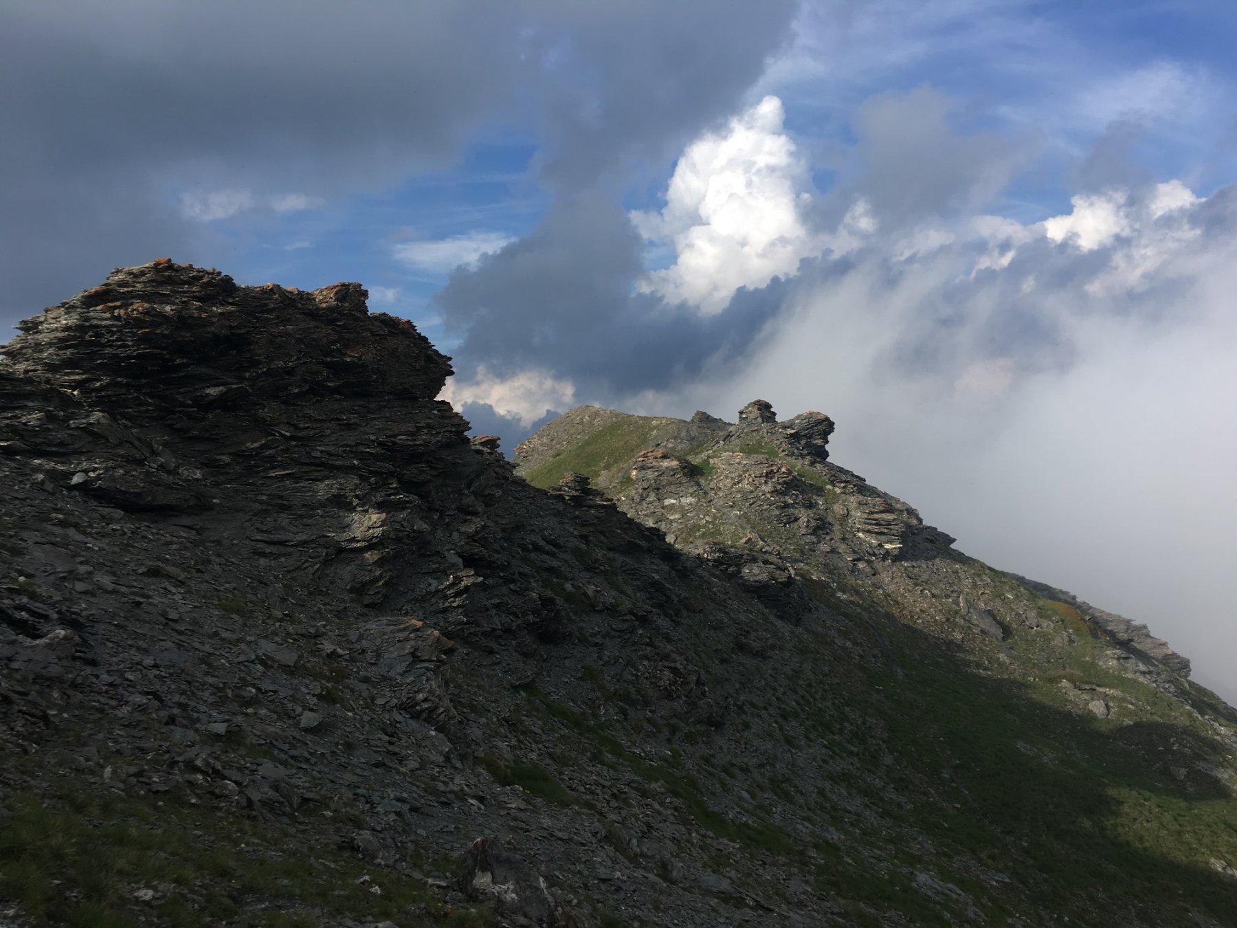
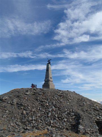
Salire direttamente per i pendii erbosi sovrastanti e passando nei pressi di un ristorante-rifugio si raggiunge lo spartiacque da cui in breve si sale ad entrambe le sommità.
Discesa: per il percorso di salita, oppure scendere al Colle Basset, dove si ritrova la sterrata che passando per la cappella dedicata a N.D. des Broussailles, riporta al Lago Nero ricongiungendosi al percorso di andata.
- Cartografia:
- IGC n°1 - Valli di Susa, Chisone e Germanasca
Nelle vicinanze Mappa
Itinerari
02/11/2019 TO, Sauze d'Oulx D+ 950 m E Ovest
Moncrons (Punta di) da Sauze d’Oulx
50m
18/11/2006 TO, Sauze d'Oulx D+ 797 m E Nord-Ovest
Mottas (Testa di) da Sauze d’Oulx per la Via dei Cannoni
50m
04/07/2026 TO, Sauze d'Oulx D+ 748 m E Nord-Ovest
Genevris (Monte) da Sauze d’Oulx
 50m
50m
08/06/2025 TO, Sauze d'Oulx D+ 920 m E Nord-Est
Gran Costa (Monte) e Monte Blegier dall’Enfer
700m
21/10/2012 TO, Oulx D+ 1005 m E Varie
Assietta (Testa dell’) da Grand Villard
 800m
800m
26/08/2023 TO, Sauze d'Oulx D+ 1192 m E Nord-Ovest
Fraiteve (Monte) da Sauze d’Oulx
 1.1Km
1.1Km
08/10/2020 TO, Sauze d'Oulx D+ 280 m T Nord
Nero (Lago) da Sportinia
 2.1Km
2.1Km
20/10/2008 TO, Oulx D+ 950 m E Nord-Ovest
Assietta (Testa dell’) da Monfol, anello per Montagne Seu
 3Km
3Km
19/09/2020 TO, Oulx D+ 1130 m E Varie
Genevris (Monte) e Monte Blegier da Monfol, anello
 3Km
3Km
11/05/2025 TO, Oulx D+ 320 m T Nord-Ovest
Arlaud Daniele (Rifugio) da Monfol
 3Km
3Km
Servizi
1.1Km
1.1Km
paddy mc ginty Ristorante
Sauze d'Oulx
1.3Km
L’Cantun B&B
Sauze D'oulx
4.3Km
La Moretta Ristorante
Oulx
5.7Km
Il Covo di nord ovest Ristorante
Salbertrand
5.8Km
Arlaud Rifugio
Salbertrand
6.1Km
La Chardouse Rifugio
Oulx
6.7Km
La capanna del sole Ristorante
Pragelato
6.7Km
Al Mulino Ristorante
Pragelato
8.2Km