1.1Km
1.1Km
Note
Storico
 800m
800m
1.5Km
2.3Km
2.3Km
2.3Km
2.4Km
800m
800m
1.5Km
2.3Km
2.3Km
2.3Km
2.4Km
1.1Km
1.1Km
1.4Km
4.5Km
5Km
5.4Km
6.2Km
7.2Km
7.2Km
8.4Km
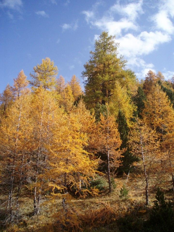
splendido itinerario da effettuarsi in autunno quando i colori del Gran Bosco di Salbeltrand e i cieli tersi la rendono veramente speciale.
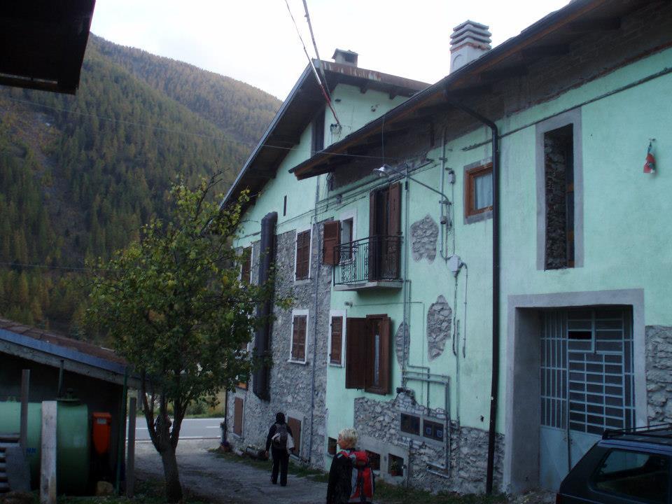
Avvicinamento
.
Descrizione
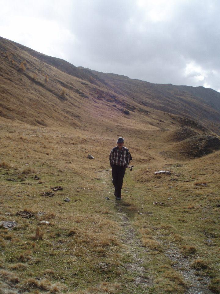
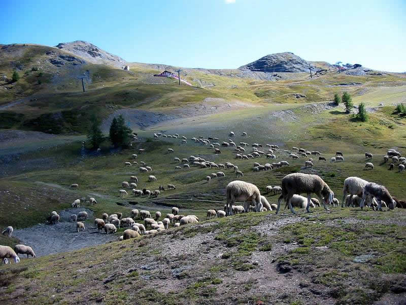
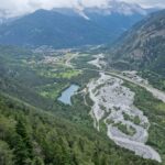
Si parte dalla località di Grand Villard ad 1 km da Sauze d’Oulx sulla strada per Monfol 1521 m. Si imbocca una strada sterrata verso la fine del villaggio (direzione Souiberan, Enfers, Richardette) sino ad incrociare un sentiero proveniente da Monfol, noi lo seguiamo a destra in salita (h . 0,30 dalla partenza). Il sentiero sale ripido nel bosco finché più a monte incrociamo una strada sterrata (h 1,00 dalla partenza), noi la percorriamo a sinistra fino ad un indicazione sulla destra per Ferro di Cavallo (m 1790). Più a monte si attraversa una strada sterrata e poi si raggiunge una radura al termine delle quale si svolta a sx (m 2065)
Dopo una ventina di minuti si raggiunge la strada sterrata che proviene da Sestriere in uno stretto tornante per la cui forma è stato chiamato Ferro di Cavallo (m 2150 – h. 1,30)
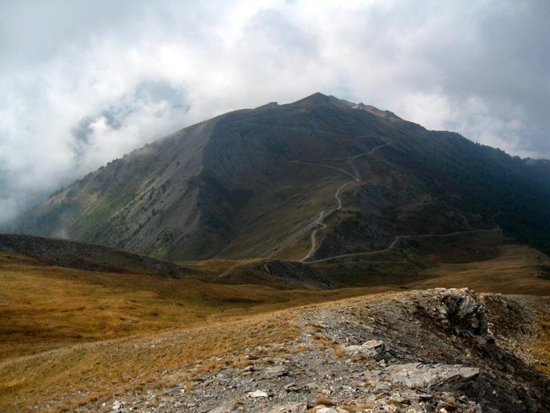
Scendiamo a sinistra sulla sterrata per alcune centinaia di m . (dislivello 100 m) sino ad incrociare sulla destra il sentiero denominato Strada dei cannoni (cartellone) . Il sentiero, molto panoramico, attraversa con dolci pendenze il bellissimo bosco entro i confini del Parco naturale del Gran Bosco di Salbertrand. Più avanti incrociamo il sentiero del G.T.A che sale da Salbertrand ( quota 2285 – h 2,40) e lo seguiamo a destra. Il sentiero attraversa zone prative sino a raggiungere la strada sterrata dell’Assietta che percorre il crinale fra la Val di Susa e la Val Chisone (quota 2480 – h 3,10)
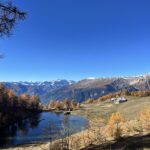
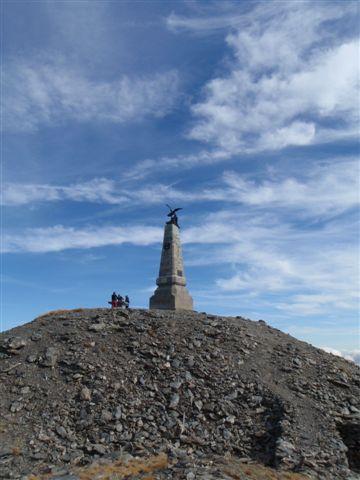
Percorriamo la strada sterrata a sx, passiamo vicino ad un edificio recentemente ristrutturato nei pressi di un laghetto e in 30 minuti circa raggiungiamo la Testa dell’Assietta (m. 2567 – h 3,45)
Tutta la zona è stata teatro , nel mese di luglio del 1747, di una delle più famose battaglie che è passata alla storia con il nome di battaglia dell’Assietta. Le truppe austro-piemontesi , guidate dal generale Bricherasio, inflissero una pesante sconfitta ai francesi che lasciarono sul campo di battaglia più di 4900 soldati tra morti, feriti e prigionieri contro i soli 219 uomini degli austro-sabaudi.
La battaglia è ricordata con vari cartelloni che riportano la collocazione dei battaglioni che hanno preso parte all’evento storico.
La battaglia è ricordata con vari cartelloni che riportano la collocazione dei battaglioni che hanno preso parte all’evento storico.
- Cartografia:
- Fraternali 1:25000 n.2 Alta Val di Susa Val Chisone
Nelle vicinanze Mappa
Itinerari
04/07/2026 TO, Sauze d'Oulx D+ 748 m E Nord-Ovest
Genevris (Monte) da Sauze d’Oulx
 800m
800m
18/11/2006 TO, Sauze d'Oulx D+ 797 m E Nord-Ovest
Mottas (Testa di) da Sauze d’Oulx per la Via dei Cannoni
800m
02/11/2019 TO, Sauze d'Oulx D+ 950 m E Ovest
Moncrons (Punta di) da Sauze d’Oulx
800m
26/07/2020 TO, Sauze d'Oulx D+ 1000 m E Nord-Ovest
Triplex (Monte) e Roc Noir da Sauze d’Oulx
 800m
800m
08/06/2025 TO, Sauze d'Oulx D+ 920 m E Nord-Est
Gran Costa (Monte) e Monte Blegier dall’Enfer
900m
26/08/2023 TO, Sauze d'Oulx D+ 1192 m E Nord-Ovest
Fraiteve (Monte) da Sauze d’Oulx
 1.5Km
1.5Km
20/10/2008 TO, Oulx D+ 950 m E Nord-Ovest
Assietta (Testa dell’) da Monfol, anello per Montagne Seu
 2.3Km
2.3Km
19/09/2020 TO, Oulx D+ 1130 m E Varie
Genevris (Monte) e Monte Blegier da Monfol, anello
 2.3Km
2.3Km
11/05/2025 TO, Oulx D+ 320 m T Nord-Ovest
Arlaud Daniele (Rifugio) da Monfol
 2.3Km
2.3Km
23/06/2024 TO, Oulx D+ 288 m E Nord
Gran Bosco di Salbertrand (Parco del) percorso n.8 “Le Tagliate” dal Lago Orfù
 2.4Km
2.4Km
Servizi
1.1Km
1.1Km
paddy mc ginty Ristorante
Sauze d'Oulx
1.4Km
L’Cantun B&B
Sauze D'oulx
4.5Km
La Moretta Ristorante
Oulx
5Km
Il Covo di nord ovest Ristorante
Salbertrand
5.4Km
Arlaud Rifugio
Salbertrand
6.2Km
La Chardouse Rifugio
Oulx
7.2Km
La capanna del sole Ristorante
Pragelato
7.2Km
Al Mulino Ristorante
Pragelato
8.4Km