 1.7Km
1.7Km
Note
 700m
700m
900m
1.8Km
2.5Km
2.6Km
2.6Km
2.6Km
700m
700m
900m
1.8Km
2.5Km
2.6Km
2.6Km
2.6Km
1.7Km
1.7Km
2Km
5Km
5.2Km
5.3Km
6.3Km
6.3Km
6.7Km
7.7Km
Itinerario di non grande dislivello, ma di discreto sviluppo; ottima alternativa molto meno frequentato dell'anello da Grand Puy molto vario per gli ambienti che attraversa: consigliato d'estate (più ombroso) e quando la strada dell' Assietta è aperta, perché si svolge lontana da essa tranne quando la incrocia nel tratto del Lago Lauson per iniziare la salita al Monte Gran Costa.
Pochissimi posti auto alla partenza.
Avvicinamento
Pochissimi posti auto alla partenza.
Sauze d'Oulx, seguire per fraz. Richardette, Enfer: indicazione su palina lignea al tornante a quota 1800 mt sulla strada che va all'Alpe Laune, si imbocca la pista forestale sterrata, che va all'Enfer con attenzione e dopo pochi mt. in prossimità di una casa a sx si trova uno spiazzetto per parcheggiare poche auto o, in alternativa, si può proseguire per sterrata (sconsigliato, almeno con auto molto alta...) fino alla fontana dell'Enfer (posto auto) o proseguire più vanti fino alla sbarra (inzio Gran bosco) spiazzo per una sola auto, poco spazio, per far manovre con l'auto.
In Alternativa si può parcheggiare all'Alpe Laune. e si sale al Ferro di Cavallo per mulattiera più dolce, ma meno selvaggia.
Descrizione
In Alternativa si può parcheggiare all'Alpe Laune. e si sale al Ferro di Cavallo per mulattiera più dolce, ma meno selvaggia.
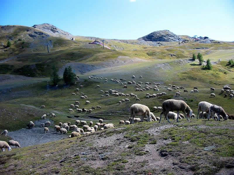
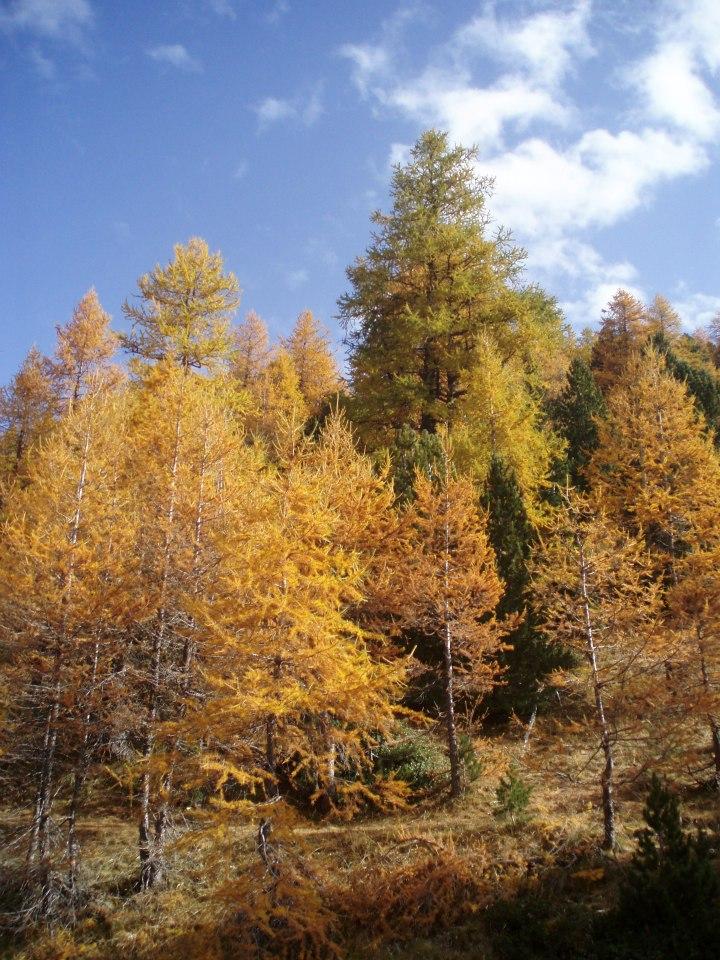
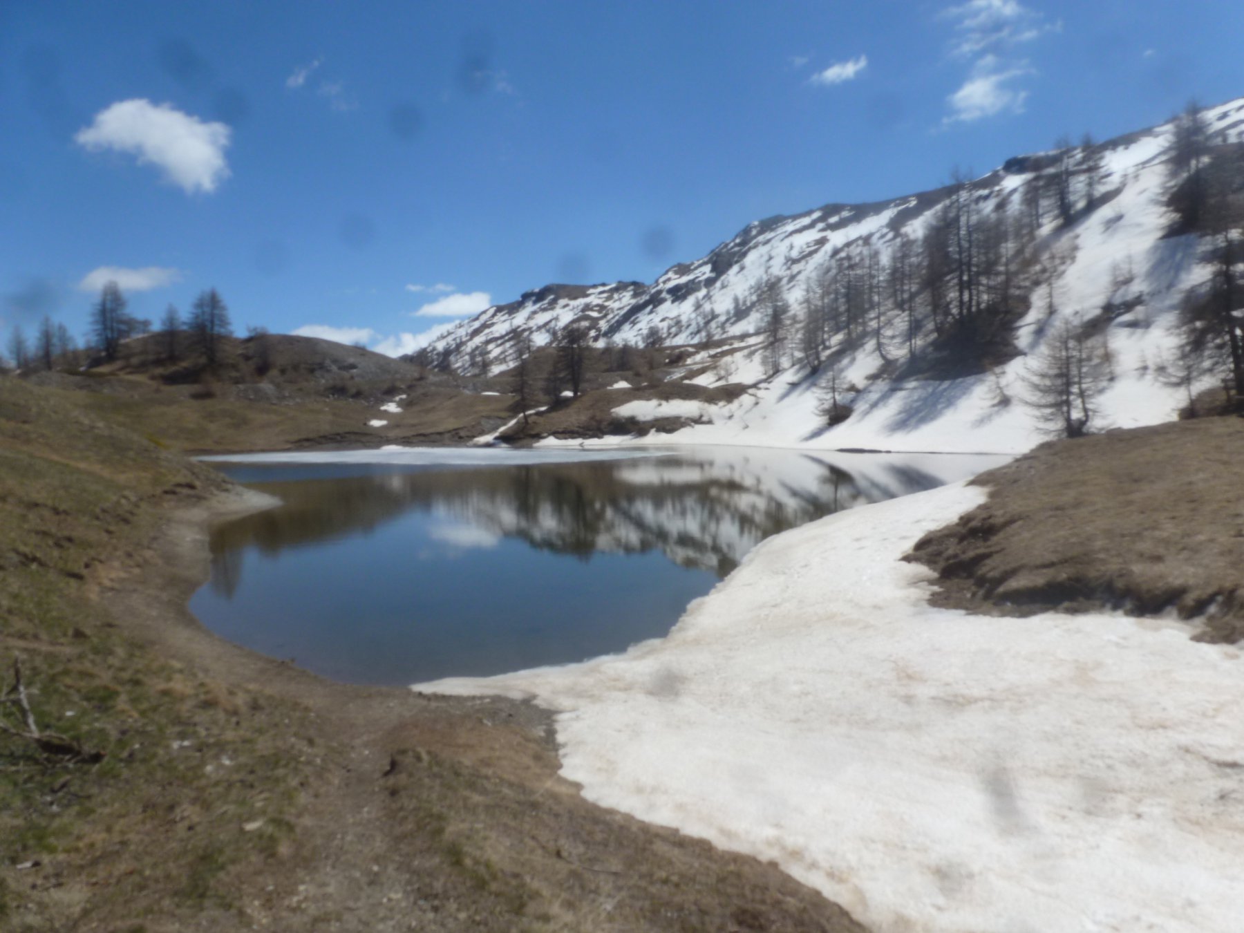
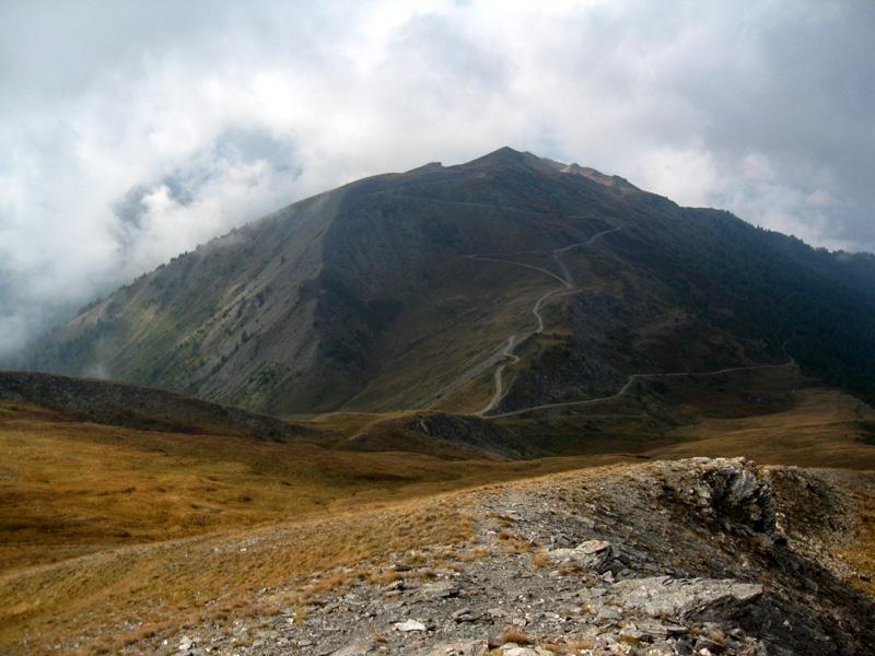
Lasciata l’auto si procede sulla pista forestale (direzione est) passando per la fontana dell’Enfer (1820) e proseguendo dopo una lieve salita, si arriva alla sbarra verde di accesso al Gran Bosco di Salbertrand; oltrepassata si prosegue sulla medesima pista forestale per bellissimo bosco di conifere e si arriva all’intersezione con il sentiero 3 che si prende sulla dx (salendo) e con ripida, ma efficace bella salita nel bosco, porta al Ferro di Cavallo (luogo anche di congiungimento con il sentiero che sale dall’Alpe Laune) si prosegue nuovamente su pista forestale “panoramica” (direzione sud-est), con lungo traverso fino ad arrivare in vista del col Blegier. Arrivati alla conca che lo procede non raggiungerlo, ma in prossimità di una bacheca del Parco (no indicazioni e paline) rinvenire una vaga traccia, che scende alla “Torbiera del Blegier”, che si lascia sulla dx (salendo), dopo aver attraversato un piccolo ponticello ligneo e da qua la traccia, seppur non segnata, diventa più marcata e segue tutto il crestone ovest del Blegier sul suo “filo” fino alla punta (omettone). Dalla punta si scende leggermente (senza traccia) in una stupenda valletta “sospesa” tra i due crestoni in direzione est/sud-est, in breve si ri-trova una traccia più evidente e qualche bollo giallo; da qua, si prosegue per elementare crestone e si scende al col Lauson, si attraversa la strada dell’Assietta e si sale per ottima e ripida traccia al Monte Gran Costa (ottimo panorama). Rientro dal percorso di salita:
Possibilità infinite di aggiungere anche la Salita dell’Assietta o del Genevris, del Moncrons, ecc. e giri ad “anello” a proprio piacimento…
Nelle vicinanze Mappa
Itinerari
26/07/2020 TO, Sauze d'Oulx D+ 1000 m E Nord-Ovest
Triplex (Monte) e Roc Noir da Sauze d’Oulx
 700m
700m
18/11/2006 TO, Sauze d'Oulx D+ 797 m E Nord-Ovest
Mottas (Testa di) da Sauze d’Oulx per la Via dei Cannoni
700m
02/11/2019 TO, Sauze d'Oulx D+ 950 m E Ovest
Moncrons (Punta di) da Sauze d’Oulx
700m
04/07/2026 TO, Sauze d'Oulx D+ 748 m E Nord-Ovest
Genevris (Monte) da Sauze d’Oulx
 700m
700m
21/10/2012 TO, Oulx D+ 1005 m E Varie
Assietta (Testa dell’) da Grand Villard
 900m
900m
26/08/2023 TO, Sauze d'Oulx D+ 1192 m E Nord-Ovest
Fraiteve (Monte) da Sauze d’Oulx
 1.8Km
1.8Km
08/10/2020 TO, Sauze d'Oulx D+ 280 m T Nord
Nero (Lago) da Sportinia
 2.5Km
2.5Km
20/10/2008 TO, Oulx D+ 950 m E Nord-Ovest
Assietta (Testa dell’) da Monfol, anello per Montagne Seu
 2.6Km
2.6Km
19/09/2020 TO, Oulx D+ 1130 m E Varie
Genevris (Monte) e Monte Blegier da Monfol, anello
 2.6Km
2.6Km
11/05/2025 TO, Oulx D+ 320 m T Nord-Ovest
Arlaud Daniele (Rifugio) da Monfol
 2.6Km
2.6Km
Servizi
1.7Km
1.7Km
paddy mc ginty Ristorante
Sauze d'Oulx
2Km
L’Cantun B&B
Sauze D'oulx
5Km
La Moretta Ristorante
Oulx
5.2Km
Arlaud Rifugio
Salbertrand
5.3Km
Il Covo di nord ovest Ristorante
Salbertrand
6.3Km
La capanna del sole Ristorante
Pragelato
6.3Km
Al Mulino Ristorante
Pragelato
6.7Km
La Chardouse Rifugio
Oulx
7.7Km


